The best hikes from bus stations around Tiefenbronn
4.5
(2045)
8,077
hikers
86
hikes
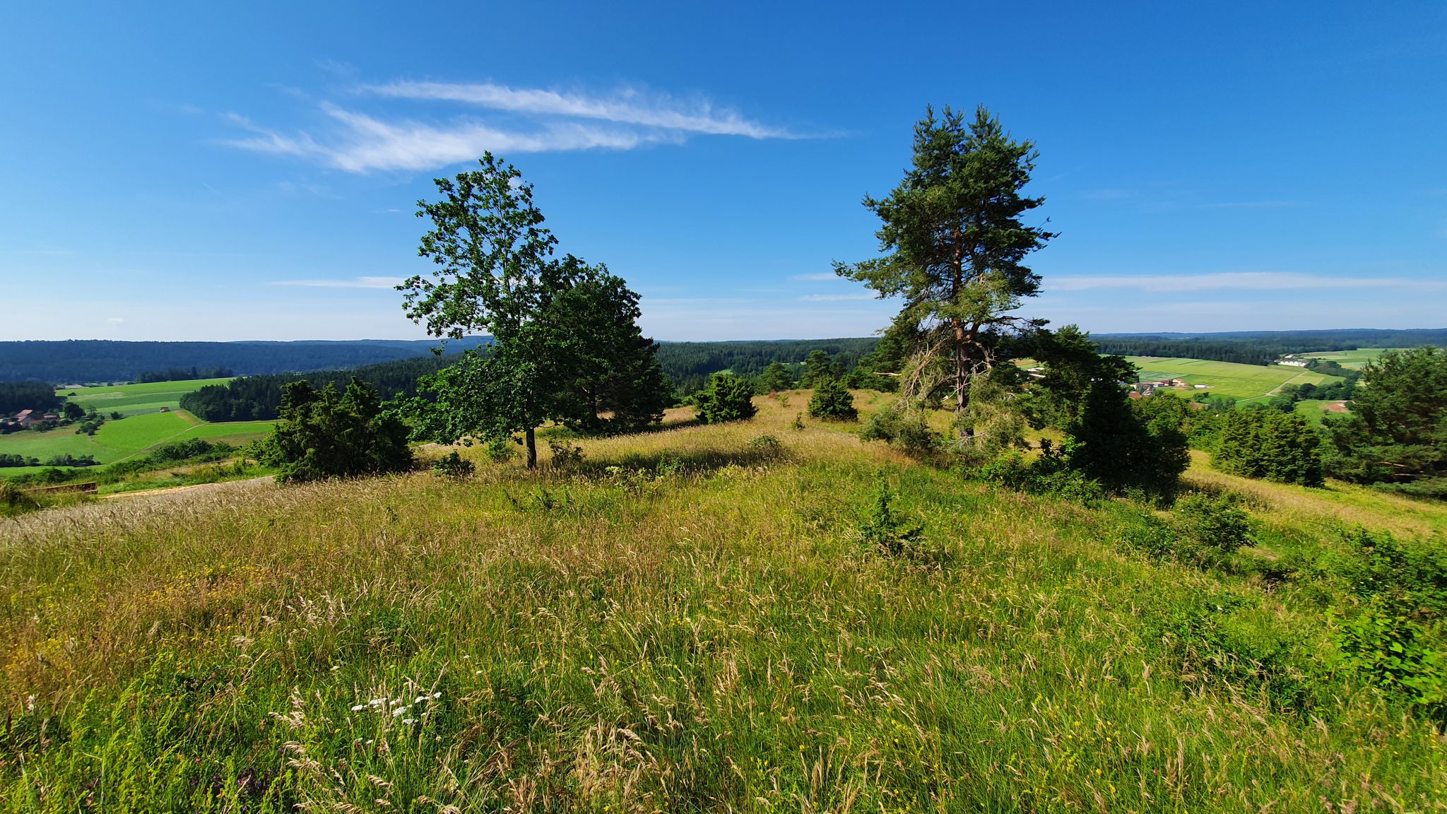
Bus station hiking trails around Tiefenbronn offer access to diverse landscapes at the edge of the Black Forest and the Upper Gäu region. The area is characterized by wooded and karstified hills, with the Würm River meandering through shaded forest sections. Hikers can explore picturesque natural features such as the Monbachtal Gorge and numerous nature reserves, providing varied terrain for outdoor activities. The region's well-maintained trail networks connect significant hiking destinations and starting points.
Best bus station hiking trails around…
Last updated: June 27, 2026
4.6
(71)
247
hikers
6.76km
01:52
120m
120m
Easy hike. Great for any fitness level. Easily-accessible paths. Suitable for all skill levels.
4.6
(46)
156
hikers
13.8km
03:58
330m
330m
Moderate hike. Good fitness required. Easily-accessible paths. Suitable for all skill levels.

Sign up for free
4.4
(27)
99
hikers
9.73km
02:38
130m
130m
Moderate hike. Good fitness required. Easily-accessible paths. Suitable for all skill levels.
4.7
(12)
61
hikers
13.5km
03:44
230m
230m
Moderate hike. Good fitness required. Easily-accessible paths. Suitable for all skill levels.
4.6
(11)
56
hikers
Moderate hike. Good fitness required. Easily-accessible paths. Suitable for all skill levels.
Get access to more routes and recommendations from other explorers.
Sign up for free
Already have an account?
Our route recommendations are based on thousands of hikes, rides, and runs completed by other people on komoot.
Start today with a free account
Your next adventure awaits.
Login or Signup
Popular around Tiefenbronn
Other adventures around Tiefenbronn

Tips from the Community

Anyone else besides Jogi can take a seat here...
0
0


If you climb up the large stone, you can see a Celtic flower carved into the very front at the top.
1
0

Memorial stone for the church's patron saint, Saint Wolfgang, after whom the Hamberger church was also consecrated. Next to it is a rest area that also offers a good view of the plateau between the Würm and Nagold valleys.
3
0
Good views of the Würm valley, Steinegg and Tiefenbronn from a higher path towards the cemetery. Several benches for a short rest can also be found here.
2
0
The beautiful Heckengäu landscape features dry stone walls and juniper hedges, and at several viewpoints offers sweeping views into the Würm valley as far as Weil der Stadt. A visit is worthwhile at any time of year, as the landscape presents a different face each season.
4
0

Beautiful path - you can hear the Würm as you walk.
0
0
Easy to walk, gravel hiking and cycling path through the Würmtal, which is mostly in the shade.
5
0
Frequently Asked Questions
How many bus station hiking trails are available around Tiefenbronn?
There are over 80 hiking routes around Tiefenbronn that are easily accessible from bus stations, offering a wide variety of experiences for all skill levels.
Are there easy hiking trails accessible by bus in Tiefenbronn?
Yes, Tiefenbronn offers a good selection of easy hikes starting from bus stations. You'll find over 45 easy routes, perfect for a relaxed day out. An example is the Jogis Bänkle – Bridge monument loop from Silberberg, which is just under 7 km long with minimal elevation gain.
Can I find challenging hikes from bus stations in Tiefenbronn?
While most trails are easy to moderate, there are a couple of more challenging routes available from bus stations for those seeking a greater workout. These trails often venture deeper into the varied terrain of the region.
What natural features can I expect to see on bus station hikes in Tiefenbronn?
Tiefenbronn's bus-accessible trails showcase diverse landscapes. You can explore the picturesque Monbachtal Gorge, follow the meandering Würm River, and experience the unique wooded and karstified hills that mark the transition to the Northern Black Forest. Many routes also pass through nature reserves, offering rich flora and fauna.
Are there any waterfalls or gorges accessible from bus station trails?
Absolutely! The stunning Monbachtal Gorge is a highlight, featuring the Monbachtal Waterfall and fun Stepping Stones over the Monbach. Another notable natural feature is the Wolfsschlucht Gorge, offering a different kind of rugged beauty.
Where can I find scenic viewpoints on bus-accessible trails?
Many trails offer splendid vistas. The "AugenBlick Tiefenbronn-Mühlhausen" route, for instance, is known for leading to a high point with panoramic views to the south. Keep an eye out for marked viewpoints along the well-signposted network.
Are the bus station hiking trails in Tiefenbronn family-friendly?
Yes, many routes are suitable for families. The Monbachtal Gorge, with its stepping stones and light climbing opportunities, is particularly popular with children. The Würmtalradweg, while primarily for cycling, also offers family-friendly sections for walking alongside the river. Look for easy to moderate routes for the best family experience.
Can I bring my dog on these bus-accessible trails?
Most hiking trails in the Tiefenbronn region are dog-friendly, allowing you to enjoy the natural beauty with your canine companion. Always ensure your dog is on a leash where required, especially in nature reserves or near wildlife.
What is the best season for hiking from bus stations in Tiefenbronn?
Tiefenbronn is enjoyable year-round. Spring brings blooming wildflowers, summer offers lush green forests, and autumn transforms the landscape with vibrant colors. Even in winter, some trails are suitable for a crisp walk, though conditions can vary.
Are there any routes that include historical sites or landmarks?
Yes, some routes incorporate historical elements. For example, the Steinegg Castle – Saint Wolfgang Memorial Stone loop from Tiefenbronn takes you past significant local landmarks. You might also encounter charming covered wooden bridges over the Nagold River and over the Enz, adding a picturesque touch to your hike.
What do other hikers enjoy the most about hiking in Tiefenbronn?
The area is highly rated by the komoot community, with an average score of 4.5 stars from over 1,900 ratings. Reviewers often praise the well-maintained and clearly signposted trails, the diverse landscapes ranging from gorges to river valleys, and the peaceful atmosphere of the Black Forest's edge.
Are there circular walks available from bus stations?
Yes, many of the bus-accessible routes in Tiefenbronn are circular, allowing you to start and end your hike at the same bus stop without needing to retrace your steps. The Würmtal Trail – Bridge monument loop from Silberberg is a great example of a moderate circular route.
Most popular routes around Tiefenbronn
Most popular attractions around Tiefenbronn

Get inspired with the komoot mobile app


Explore more
Browse the best Hikes in other regions.
