The best city hikes and walks around Rothenburg ob der Tauber
4.5
(3068)
13,012
hikers
57
hikes
Urban hiking trails around Rothenburg ob der Tauber are characterized by a blend of historical architecture and natural landscapes. The region features the Tauber Valley, with its river, vineyards, and mixed forests, alongside the Frankenhöhe Nature Park, known for oak forests and streams. Trails often incorporate views of the medieval town walls and towers, as well as paths through shaded woodlands and along the Tauber River. The terrain includes gentle river valleys and some moderate climbs, offering varied experiences for urban hikers.
Best urban hiking trails around Rothenburg ob der Tauber
- The most popular urban hiking route is Tower Trail along the city wall – Markus Tower & Röder Arch loop from Rothenburg ob der Tauber, a 5.0 miles (8.1 km) moderate trail that takes 2 hours 16 minutes to complete. This route offers views of the historic city wall and its towers.
- Another top favourite among local hikers is Tower Trail along the city wall – Sieber Tower loop from Rothenburg ob der Tauber, a moderate 5.6 miles (9.0 km) path. This trail explores the city's perimeter and includes sections along the Tauber River.
- Local hikers also love the The Tauber near Rothenburg – Tower Trail along the city wall loop from Rothenburg ob der Tauber, a 3.8 miles (6.2 km) trail leading through the Tauber Valley and past the city wall, often completed in about 1 hour 45 minutes.
- Hiking around Rothenburg ob der Tauber is defined by medieval town views, river valleys, and mixed forests. The network offers options for different ability levels, from easy strolls to moderate urban hikes.
- The routes in Rothenburg ob der Tauber are highly rated by the komoot community with an average score of 4.5 stars from over 2,800 reviews. More than 13,000 hikers have used komoot to explore Rothenburg ob der Tauber's varied terrain.
Last updated: August 20, 2026
4.8
(792)
3,648
hikers
Moderate hike. Good fitness required. Easily-accessible paths. Suitable for all skill levels.
5.0
(12)
61
hikers
Easy hike. Great for any fitness level. Easily-accessible paths. Suitable for all skill levels.

Sign up for free
4.8
(122)
615
hikers
Easy hike. Great for any fitness level. Easily-accessible paths. Suitable for all skill levels.
4.8
(16)
82
hikers
Easy hike. Great for any fitness level. Easily-accessible paths. Suitable for all skill levels.
3.7
(9)
78
hikers
Moderate hike. Good fitness required. Easily-accessible paths. Suitable for all skill levels.
Get access to more routes and recommendations from other explorers.
Sign up for free
Already have an account?
Our route recommendations are based on thousands of hikes, rides, and runs completed by other people on komoot.
Start today with a free account
Your next adventure awaits.
Login or Signup
Popular around Rothenburg ob der Tauber

Main-Danube-Lake Constance Trail – Along iconic waters

The Romantic Road – To the Pearls of Southern Germany
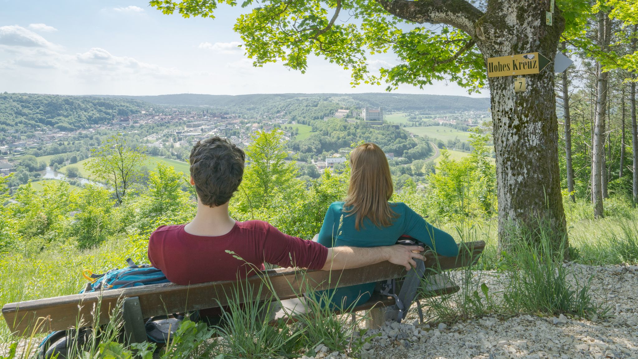
Pleasure, nature and culture – hiking around the Franconian towns
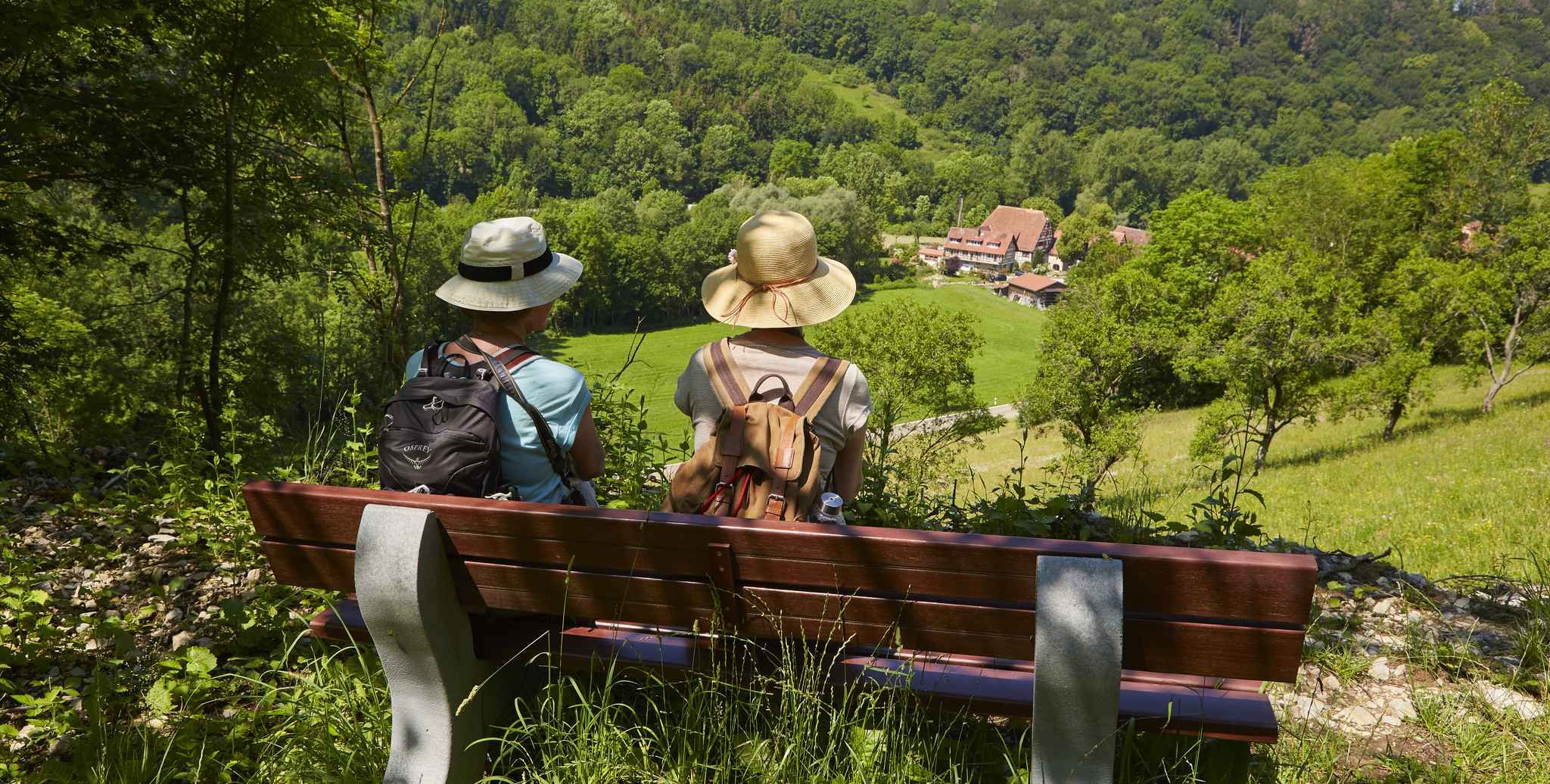
Gentle hills & wide forests – day Tours in the Lovely Tauber Valley
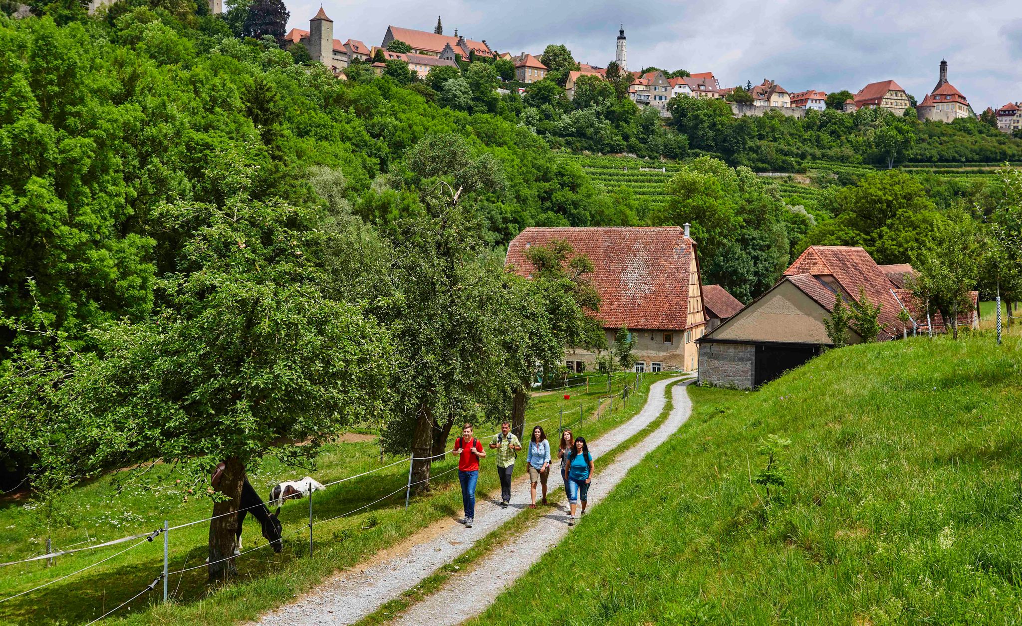
Hike back in time to the Middle Ages – Rothenburg ob der Tauber
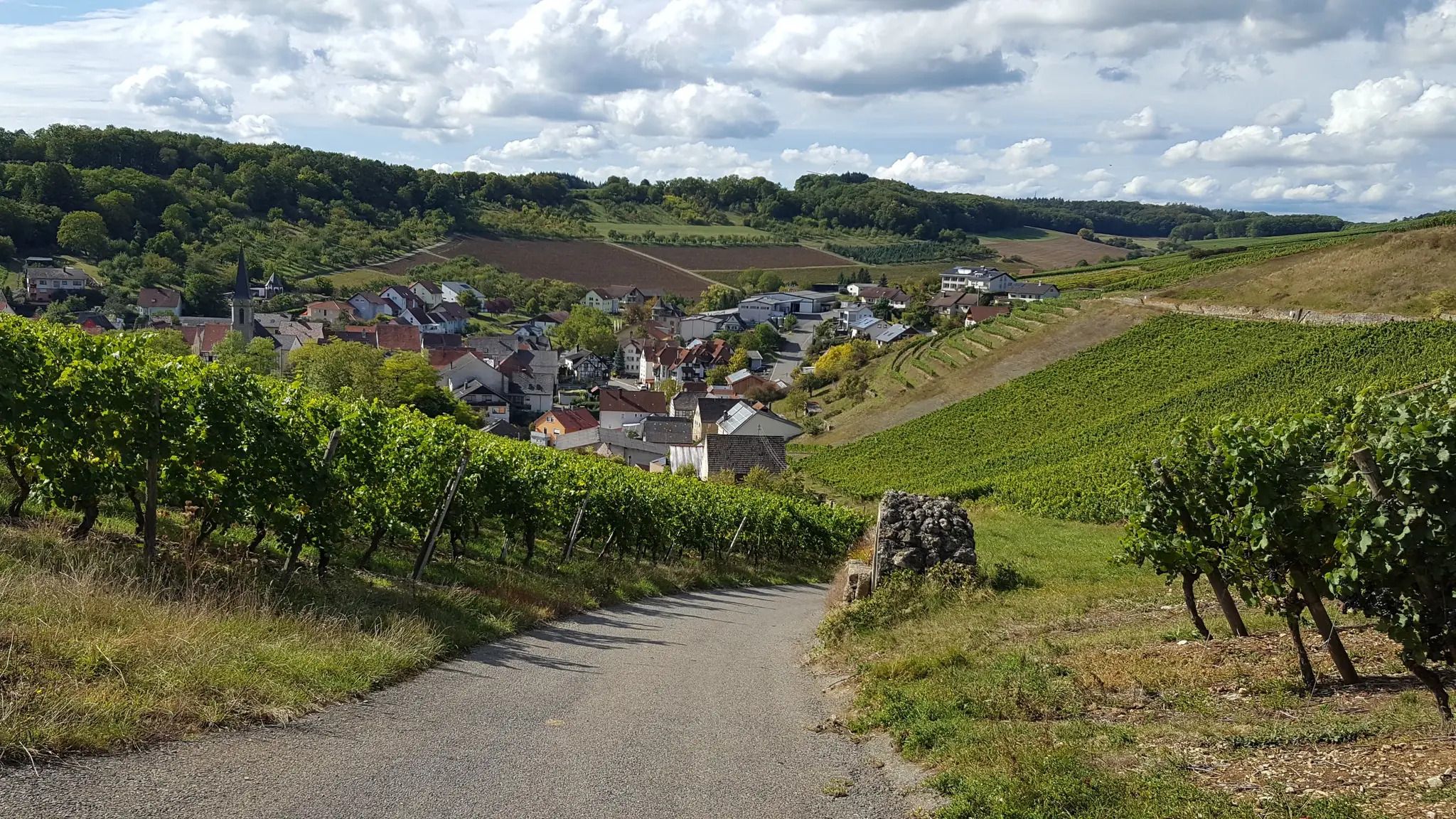
On the panoramic trail through the Tauber Valley
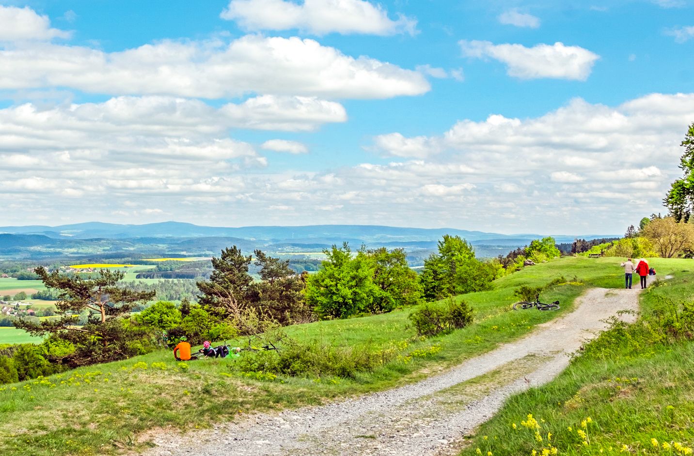
Ponds, woods and hills – the VGN recreational activities
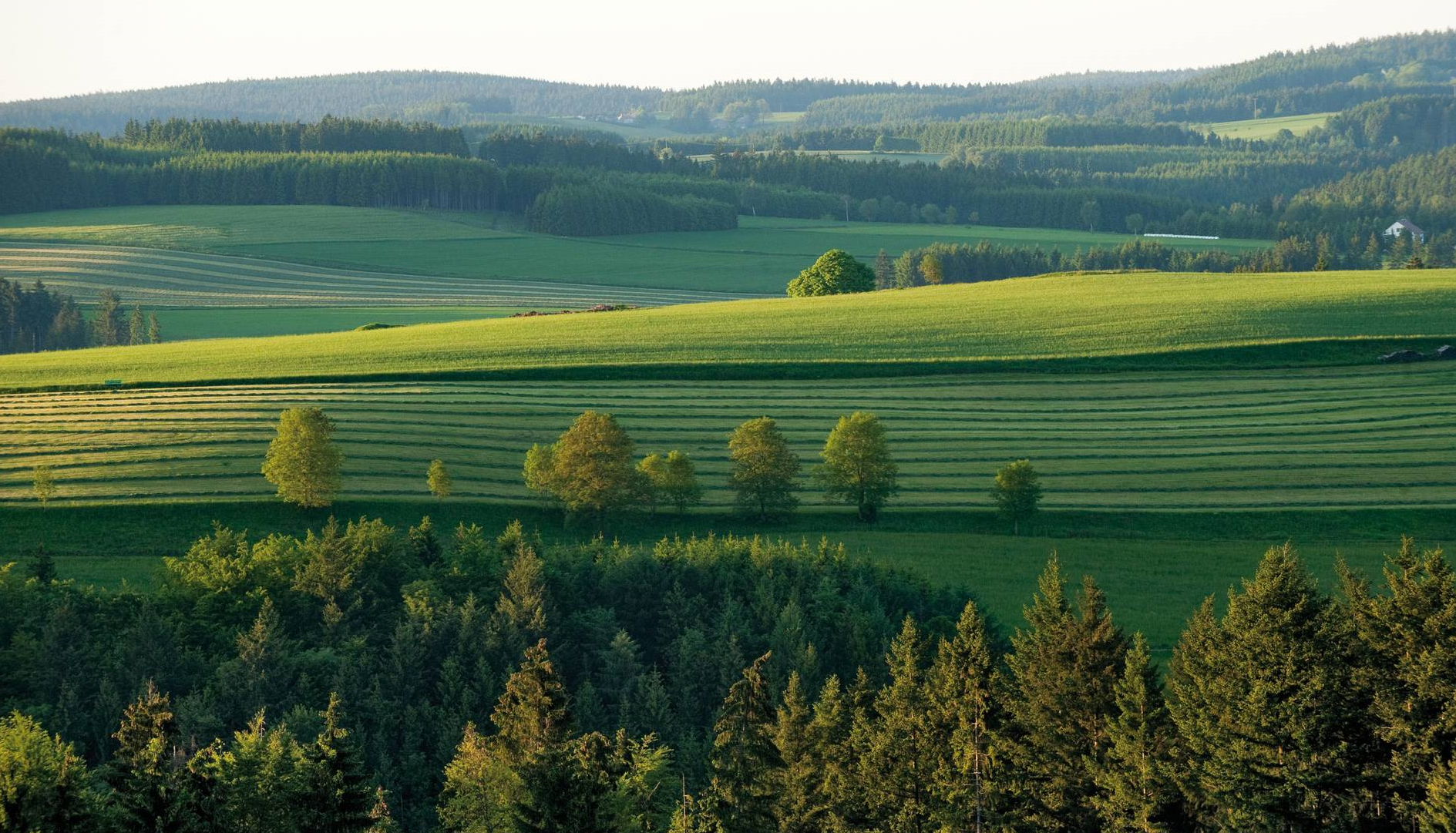
The most beautiful tours for summer and autumn – hiking paradise Franconia
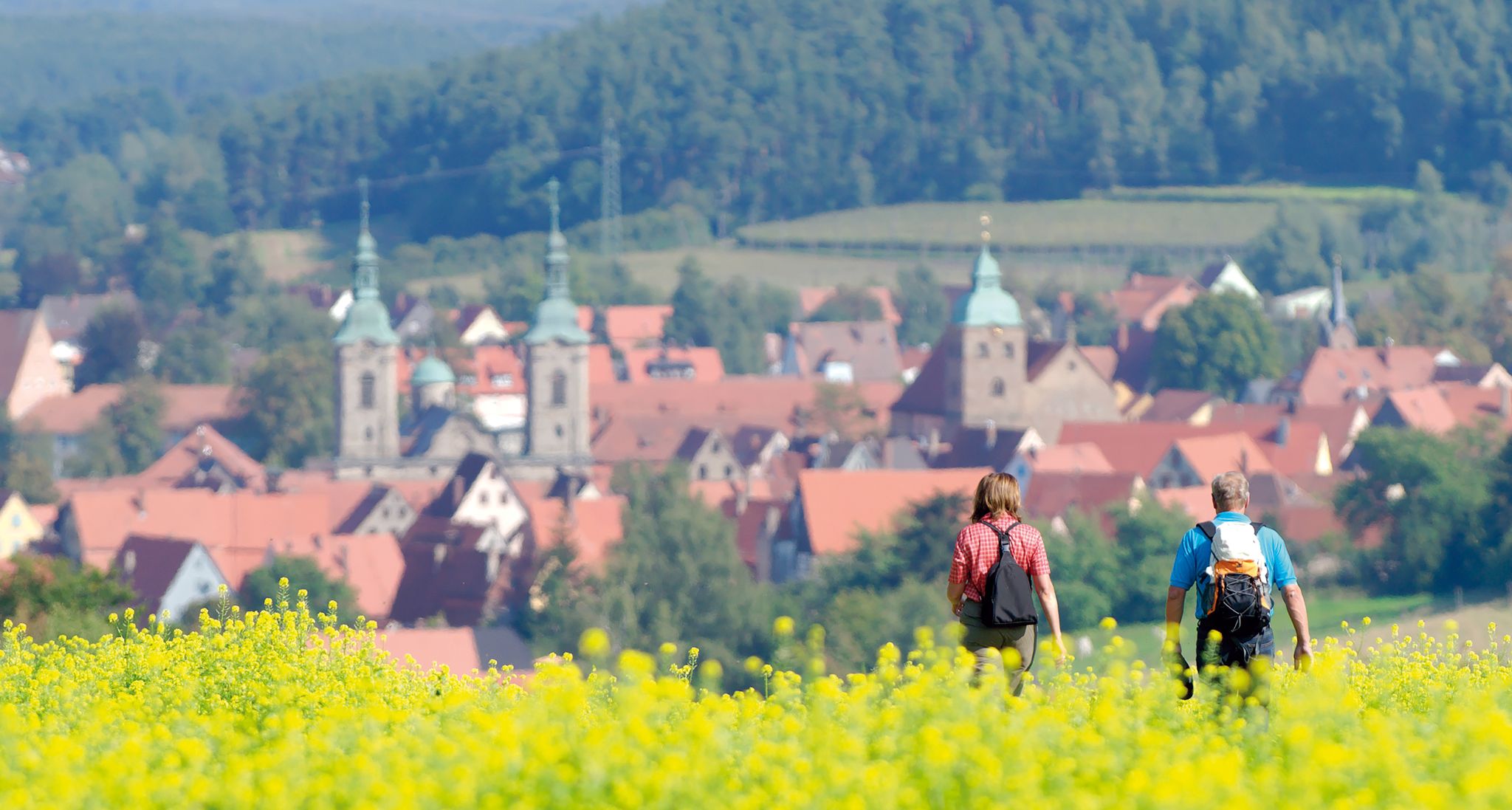
Unforgettable panoramic views — the most beautiful long-distance hikes in Franconia

Germany's Hohenlohe-Ostalb Cycle Route – From idyllic valleys to the Swabian Alb
Other adventures around Rothenburg ob der Tauber


Tips from the Community

Here the Tauber is truly a very idyllic little river. A bit off the beaten track up in the town.
1
0

Well-preserved path along the city wall. Rothenburg is a highlight for medieval freaks.
1
0

There are so many perspectives to see in Rothenburg, each revealing something new. Whether inside or outside the wall, on the wall, or in the small alleys and half-timbered houses, it's worth coming here several times and taking your time.
1
0

Visitors can explore the city wall on the Rothenburg Tower Trail, which takes approximately 2.5 hours and covers four kilometers around the old town. On information boards and in the text of the Tower Trail brochure, the authors describe the history of Rothenburg ob der Tauber along the city's 42 towers. Rothenburg ob der Tauber – a city of towers. But which tower can visitors actually climb to get an overview? (https://www.rothenburg.de/entdecken/top-10/stadtmauer-und-tuerme )
1
0

Great covered original bridge that has survived the rigors of time well
7
0
Breathtakingly beautiful, medieval old town including battlements, accessible for several kilometers
8
0
Here you can get a view from outside... even without crowds
9
0

A very interesting path along the old city wall with many worthwhile views and historical information.
4
0
Frequently Asked Questions
How many urban hiking trails are available in Rothenburg ob der Tauber?
Rothenburg ob der Tauber offers a wide selection of urban hiking trails, with over 60 routes to explore. Most of these, around 57, are considered easy, making them accessible for various fitness levels.
What kind of landscapes can I expect on urban hikes around Rothenburg ob der Tauber?
Urban hikes here often blend historic townscapes with natural beauty. You'll find trails leading through the picturesque Tauber Valley with its vineyards and lush forests, as well as routes offering panoramic views of Rothenburg's medieval architecture from the surrounding countryside. Some paths also venture into the Frankenhöhe Nature Park, characterized by oak forests and streams.
Are there any circular urban hiking routes in Rothenburg ob der Tauber?
Yes, many urban hikes in Rothenburg ob der Tauber are designed as circular routes, allowing you to start and end in the same location. For example, you could try the Tower Trail along the city wall – Markus Tower & Röder Arch loop, which offers a moderate challenge while circling back to your starting point.
What historical landmarks or points of interest can I see along the urban trails?
Rothenburg's urban trails are rich in history. You can walk along the medieval city walls, passing numerous towers and gates. The The Tauber near Rothenburg – Tower Trail along the city wall loop is a great option for this. The region also features historic mills in the Tauber Valley, and some routes, like the Detwang Trail, lead past churches housing artworks by the medieval sculptor Tilman Riemenschneider.
Are the urban hiking trails in Rothenburg ob der Tauber suitable for families?
Absolutely. Many of the urban trails are easy and well-maintained, making them suitable for families. The shorter Sieber Tower – Markus Tower & Röder Arch loop is an easy option that keeps you close to the city's historic core, perfect for a family outing.
Can I bring my dog on the urban hiking trails?
Generally, dogs are welcome on the urban hiking trails around Rothenburg ob der Tauber. It's always advisable to keep your dog on a leash, especially in more populated areas or nature reserves, and to be mindful of other hikers and wildlife. Always carry waste bags.
What is the best time of year for urban hiking in Rothenburg ob der Tauber?
Spring and autumn are particularly popular for urban hiking in Rothenburg ob der Tauber. The weather is generally mild, and the landscapes offer beautiful colors, from spring blossoms to autumn foliage. Guided hiking tours and special hiking weeks are also often available during these seasons.
Are there good viewpoints along the urban hiking routes?
Yes, many urban trails offer excellent viewpoints. Routes that follow the city wall or venture into the surrounding countryside provide breathtaking panoramic views of Rothenburg's iconic medieval skyline, its towers, and the picturesque Tauber Valley below. The Markus Tower & Röder Arch – Sieber Tower loop offers great perspectives of the city.
Where can I find places to eat or drink along the urban trails?
You'll find various options for refreshments. Within Rothenburg's historic center, there are numerous cafes and restaurants. For trails venturing slightly outside, you might encounter charming establishments like the Wildbad Forest Inn or other local eateries. Some routes, especially those in the Tauber Valley, pass by historic mills, some of which may offer food and drink.
What do other hikers enjoy most about hiking in Rothenburg ob der Tauber?
The area is highly rated by the komoot community, with an average score of 4.5 stars. Reviewers often praise the unique combination of medieval history and beautiful natural landscapes, the well-maintained and clearly signposted trails, and the stunning panoramic views of the city and the Tauber Valley.
Is parking available near the urban hiking trailheads?
Yes, parking is generally available in and around Rothenburg ob der Tauber. There are designated parking areas outside the historic city walls, which are convenient starting points for many urban hikes. It's advisable to check local signage for parking fees and regulations.
Can I access urban hiking trails using public transport?
Rothenburg ob der Tauber is well-connected by public transport, making it possible to reach many trailheads without a car. The town's train station provides access, and local bus services can take you to various points from which urban hikes often begin. This allows for flexible planning, especially for linear routes or those starting slightly outside the immediate city center.
Are there any longer urban hikes that combine city views with nature?
For a longer experience that beautifully combines urban views with natural landscapes, consider routes that extend into the Tauber Valley. The Tower Trail along the city wall – Sieber Tower loop is a moderate, nearly 9 km route that offers both city wall perspectives and a venture into the surrounding nature.
Most popular routes around Rothenburg ob der Tauber
Most popular attractions around Rothenburg ob der Tauber

Get inspired with the komoot mobile app


Explore more
Browse the best Hikes in other regions.
