The best hikes from bus stations around Alfter
4.5
(14774)
77,295
hikers
110
hikes
Bus station hiking trails around Alfter are situated within the Vorgebirge region, characterized by rolling hills, extensive orchards, and forests like the Kottenforst. The landscape offers diverse terrain, ranging from gentle paths through agricultural land to routes with views of the Rhine Valley. This area provides a blend of natural beauty and historical features, making it suitable for various hiking experiences.
Best bus station hiking trails around Alfter
- The most popular bus station hiking route is Sangers Kreuz Shelter –…
Last updated: September 3, 2026
4.6
(48)
167
hikers
9.91km
02:37
90m
90m
Moderate hike. Good fitness required. Easily-accessible paths. Suitable for all skill levels.
4.6
(54)
220
hikers
6.64km
01:42
30m
30m
Easy hike. Great for any fitness level. Easily-accessible paths. Suitable for all skill levels.

Sign up for free
4.5
(17)
57
hikers
Moderate hike. Good fitness required. Easily-accessible paths. Suitable for all skill levels.
4.3
(15)
53
hikers
Easy hike. Great for any fitness level. Easily-accessible paths. Suitable for all skill levels.
5.0
(6)
29
hikers
10.2km
02:46
150m
150m
Moderate hike. Good fitness required. Easily-accessible paths. Suitable for all skill levels.
Get access to more routes and recommendations from other explorers.
Sign up for free
Already have an account?
Our route recommendations are based on thousands of hikes, rides, and runs completed by other people on komoot.
Start today with a free account
Your next adventure awaits.
Login or Signup
Popular around Alfter
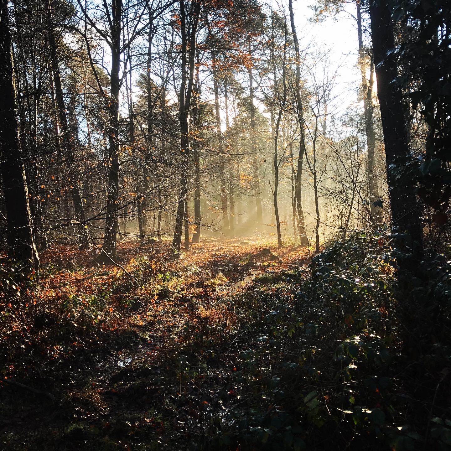
Naturpark Rheinland - Our most beautiful hiking trails
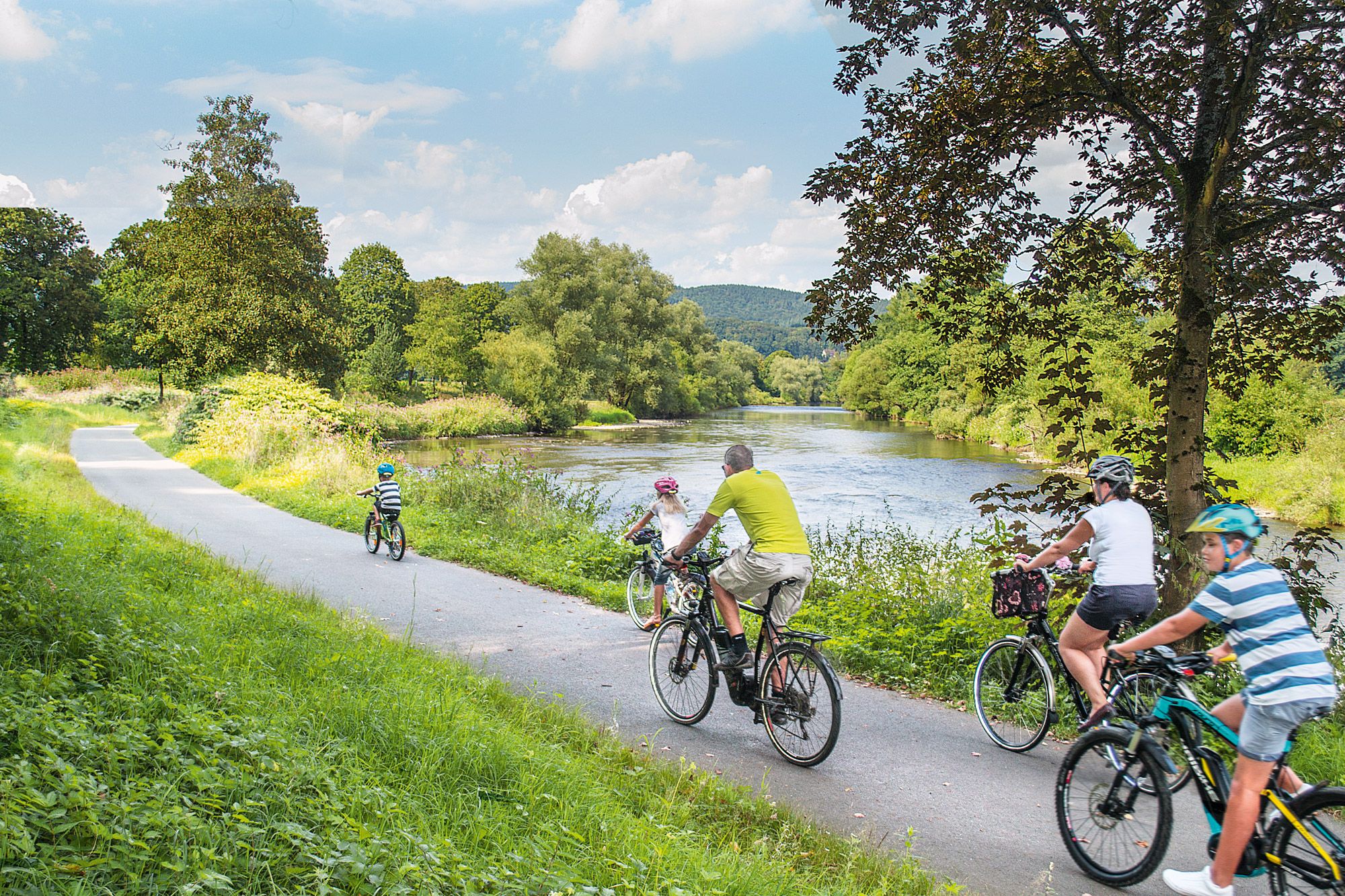
Nature bathing on your bike – beautiful Tours on the Rhine and Sieg

Close to water – cycling in the Rhineland cycling region
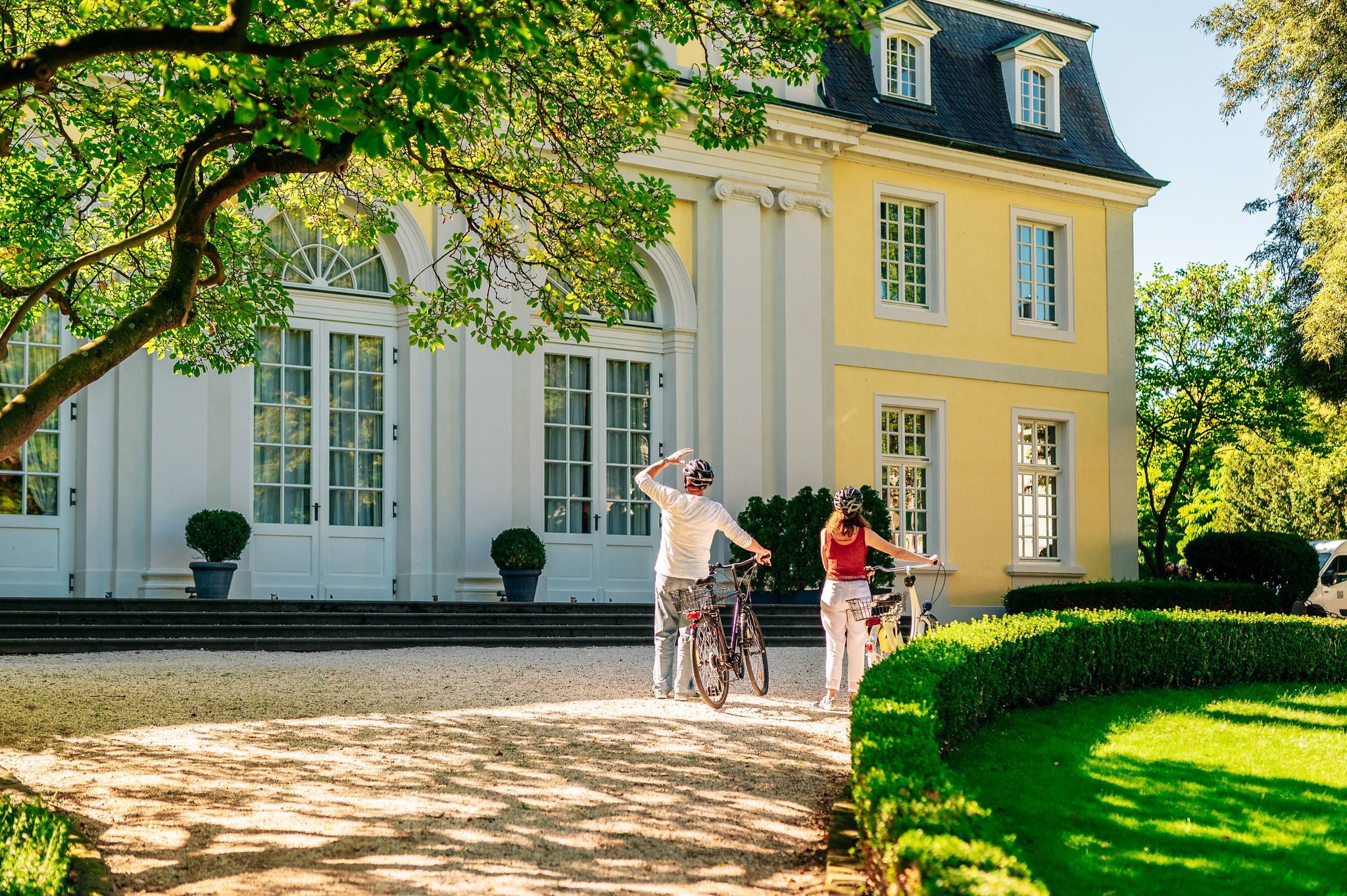
History in the Rhineland – cycling in the Rhineland cycling region
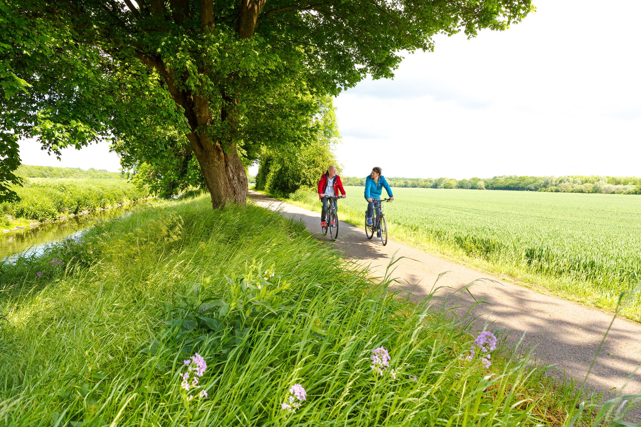
Cycling in the Rhineland – where nature and culture combine
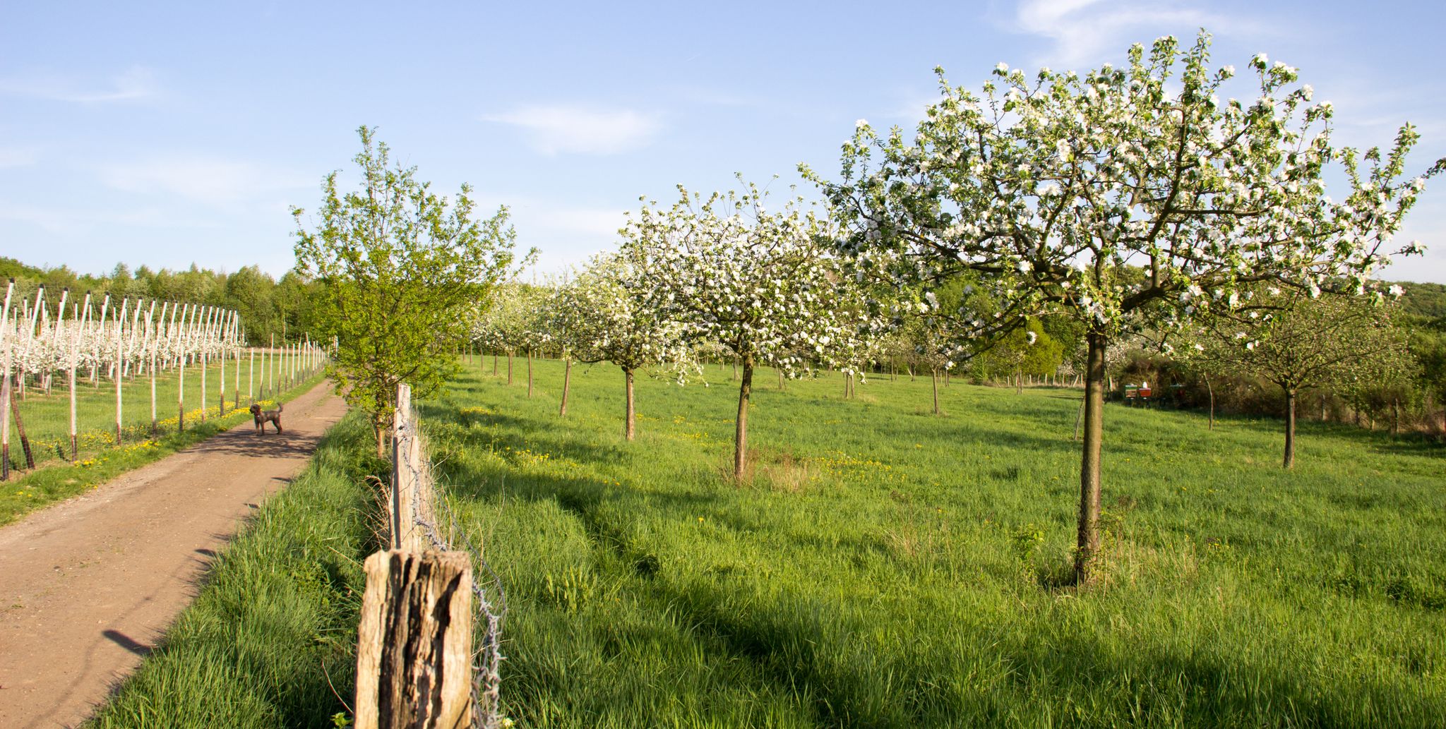
Im Zeichen des Apfels – Die Rheinische Apfelroute
Other adventures around Alfter


Tips from the Community

Anyone who hasn't been there has really missed out. I affectionately call this spot the Caribbean in the Rhein-Sieg district ;)
0
0

From here, we have a beautiful view of the Rhine valley near Bonn.
2
0
From here, we have a magnificent view of Bonn and the Siebengebirge.
2
0

Funny hidden picture puzzle
1
0

A special place, both the cemetery and the Peace Trail
0
0
On July 27, 2021, the Lower Germanic Limes (NGL) was inscribed on the UNESCO World Heritage List. The Lower Germanic Limes was an important border section of the Roman Empire. It followed the ancient course of the Rhine and stretched for approximately 400 kilometers between Katwijk (NL) on the North Sea to Bad Breisig in Rhineland-Palatinate. The Romans used the river as a natural barrier to approach. Unlike other Limes sections, no linear border fortifications were necessary here on the "wet Limes."
0
0

Wonderful view, great information about the area
1
0

This is new. On the back it says why it is here.😉
0
1
Frequently Asked Questions
How many hiking trails are accessible directly from bus stations around Alfter?
There are over 100 hiking routes around Alfter that are easily accessible from local bus stations. These trails offer a variety of experiences, from leisurely strolls through orchards to more challenging routes with panoramic views.
What kind of landscapes can I expect on bus-accessible hikes in Alfter?
Hikes around Alfter, accessible by bus, traverse the picturesque Vorgebirge region. You'll encounter rolling hills, tranquil forests like the Kottenforst, and extensive fruit orchards. Many routes also offer breathtaking panoramic views of the Rhine Valley, the Siebengebirge mountain range, and the city of Bonn.
Are there any easy, family-friendly hiking options from Alfter's bus stops?
Yes, Alfter offers many easy and family-friendly routes. For instance, the Sangers Kreuz Shelter – Joerm Pond loop from Alfter is an easy 6.6 km trail. The Panoramaweg, mentioned in local research, is also known for being suitable for families and offers stunning views along the Kottenforst.
Which bus-accessible trails offer the best viewpoints in Alfter?
Several routes provide excellent viewpoints. The View of the Rhine Plain – View of the Siebengebirge loop from Alfter offers scenic vistas. Additionally, the region is known for highlights like the View from the Rabenlay Skywalk and the View over Oberkassel and the Rhine Valley, which can often be incorporated into bus-accessible routes.
Can I find circular hiking routes that start and end at a bus station in Alfter?
Absolutely. Many of the bus-accessible trails in Alfter are designed as circular routes, allowing you to start and finish your hike at the same bus stop. Examples include the Sangers Kreuz Shelter – Fallen Tree Over the Mirbach loop from Alfter and the Sangers Kreuz Shelter – Joerm Pond loop from Alfter.
What is the best time of year to go hiking from Alfter's bus stations?
The best seasons for hiking in Alfter are spring and autumn. In spring, the meadows and fields are in full bloom, offering vibrant colors. Autumn brings a spectacular display of colorful foliage, especially through the region's orchards, and is perfect for enjoying the fruit harvest.
Are there any historical landmarks or attractions along bus-accessible hiking trails in Alfter?
Yes, the region blends natural beauty with historical significance. The "Rebellen op Jöck" circular route, for example, passes by the Alfter Jewish Cemetery and Maucher's Peace Path. You might also encounter Alfter Castle, a 14th-century landmark, or segments of the historical Römerkanal-Wanderweg (Roman Aqueduct Trail).
Are dogs allowed on the hiking trails accessible by bus in Alfter?
Many trails in the Alfter region are dog-friendly. The "Heimatblick Bornheim" route, for instance, is specifically mentioned as suitable for dog walkers. However, it's always advisable to keep your dog on a leash, especially in nature reserves or near agricultural areas, and to check local signage for specific regulations.
What do other hikers say about the bus-accessible trails around Alfter?
The hiking trails around Alfter are highly regarded by the komoot community, with an average rating of 4.5 out of 5 stars from over 12,800 reviews. Hikers often praise the diverse landscapes, the well-maintained paths, and the convenience of accessing beautiful nature directly from public transport.
Are there any longer, more challenging bus-accessible hikes in Alfter?
While many routes are easy to moderate, there are options for longer hikes. For example, the View over the Rhine plain – View of the Siebengebirge loop from Alfter is a moderate 10.2 km route with a notable elevation gain. More challenging trails like the Königswinter Trail and Rhine Heights Hiking Trail, though not directly listed in the provided routes, are known in the region for their steep sections and rewarding views.
Can I combine a bus-accessible hike with a visit to a natural monument or viewpoint?
Absolutely. The Alfter region is rich in natural monuments and viewpoints that can be integrated into your hike. Highlights such as the View of Dornheckensee or sections of the Rheinhöhenweg with many viewpoints are often accessible from various trailheads, many of which are served by bus lines.
Most popular routes around Alfter
Most popular attractions around Alfter

Get inspired with the komoot mobile app


Explore more
Browse the best Hikes in other regions.
