The best hikes from bus stations around Kevelaer
4.6
(891)
3,639
hikers
176
hikes
Bus station hiking trails around Kevelaer offer access to the flat, open landscapes of the Lower Rhine region. The area is characterized by green meadows, the Niers river, and accessible nature reserves like Fleuthbenden. This terrain provides a network of routes suitable for various fitness levels, with minimal elevation changes.
Best bus station hiking trails around Kevelaer
- The most popular bus station hiking route is Fleuthbenden Nature Reserve – Issumer Fleuth Sandbank in Fleuthbenden Nature Reserve loop from Wetten, a 5.7 miles (9.1 km) trail that takes 2 hours 18 minutes to complete. This moderate route explores the natural features of the Fleuthbenden Nature Reserve.
- Another top favourite among local hikers is Birdhouse – Baggerloch loop from Wetten, an easy 2.9 miles (4.7 km) path. This route offers a shorter, accessible walk through the local landscape.
- Local hikers also love the Issumer Fleuth Sandbank in Fleuthbenden Nature Reserve – Along the Issumer Fleuth loop from Winnekendonk, a 4.2 miles (6.7 km) trail leading through the Fleuthbenden Nature Reserve, often completed in about 1 hour 41 minutes.
- Hiking around Kevelaer is defined by the expansive Lower Rhine landscape, green meadows, and the Niers river. The network offers options for different ability levels, from easy walks to moderate trails.
- The routes in Kevelaer are highly rated by the komoot community with an average score of 4.6 stars from more than 700 reviews. More than 3,600 hikers have used komoot to explore Kevelaer's varied terrain.
Last updated: August 20, 2026
4.3
(30)
102
hikers
Moderate hike. Good fitness required. Easily-accessible paths. Suitable for all skill levels.
4.6
(21)
83
hikers
4.83km
01:13
10m
10m
Easy hike. Great for any fitness level. Easily-accessible paths. Suitable for all skill levels.

Sign up for free
4.3
(11)
44
hikers
Easy hike. Great for any fitness level. Easily-accessible paths. Suitable for all skill levels.
4.6
(14)
43
hikers
11.9km
03:00
20m
20m
Moderate hike. Good fitness required. Easily-accessible paths. Suitable for all skill levels.
4.6
(5)
31
hikers
Moderate hike. Good fitness required. Easily-accessible paths. Suitable for all skill levels.
Get access to more routes and recommendations from other explorers.
Sign up for free
Already have an account?
Our route recommendations are based on thousands of hikes, rides, and runs completed by other people on komoot.
Start today with a free account
Your next adventure awaits.
Login or Signup


Tips from the Community

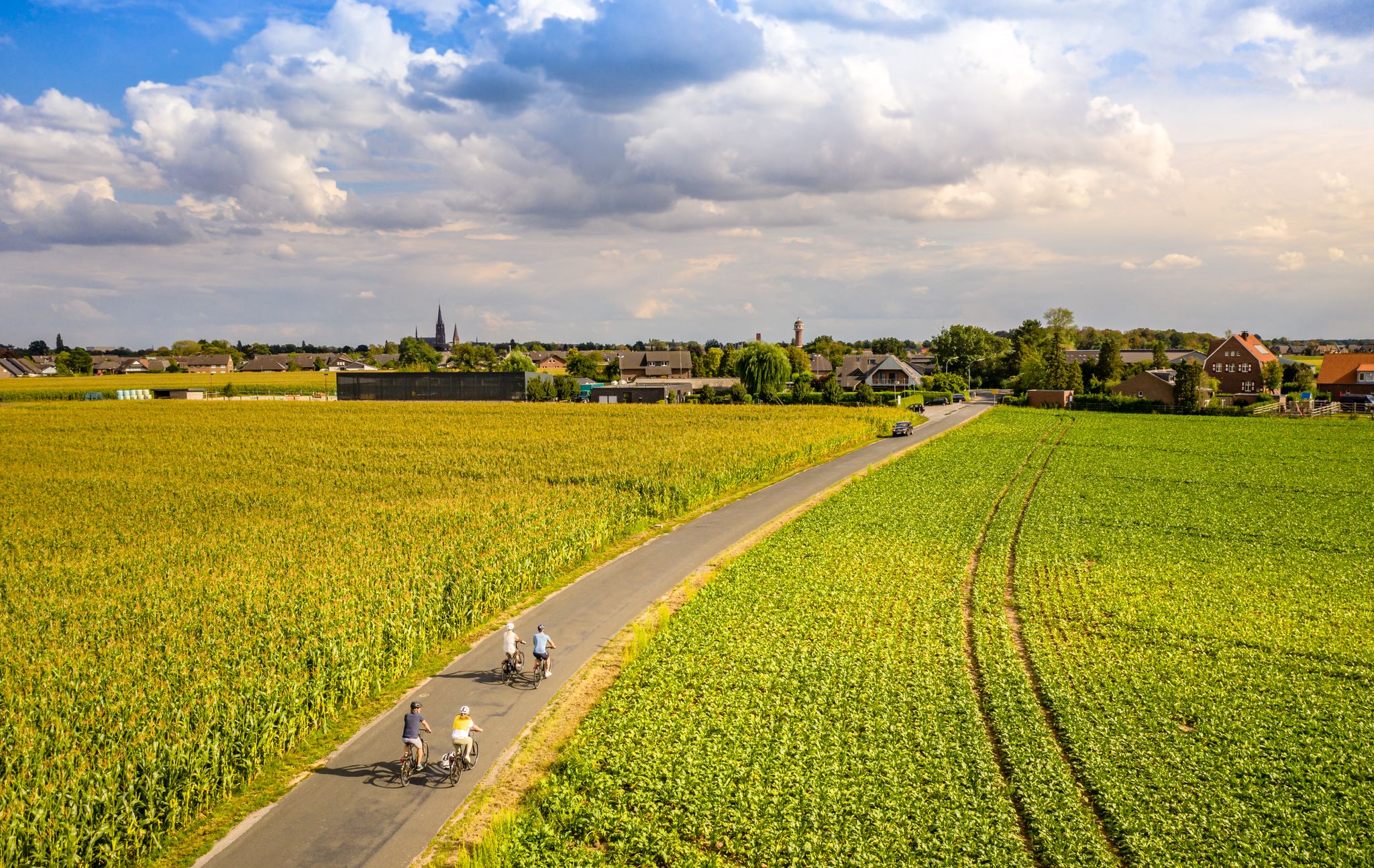
The Lower Rhine Castles & Palaces Route runs for approximately 50 kilometers through the Lower Rhine plain. It connects the towns of Kevelaer, Weeze, Goch, and Geldern. True to its name, you'll pass numerous castles along the way. The first part of the cycle tour follows an idyllic path along the Niers River. Since a river doesn't flow in a circle, the second half of the circular tour mainly cycles through meadows and fields. But that's precisely what makes the Lower Rhine Castles & Palaces Route so diverse: https://www.netreisetagebuch.de/burgen-und-schloesser-route/
0
0

One of my personal power places. When I still had my sales area here, I regularly spent my breaks here - with a short walk. I hope that I can enjoy my Sunday round here more often in the future.
1
0

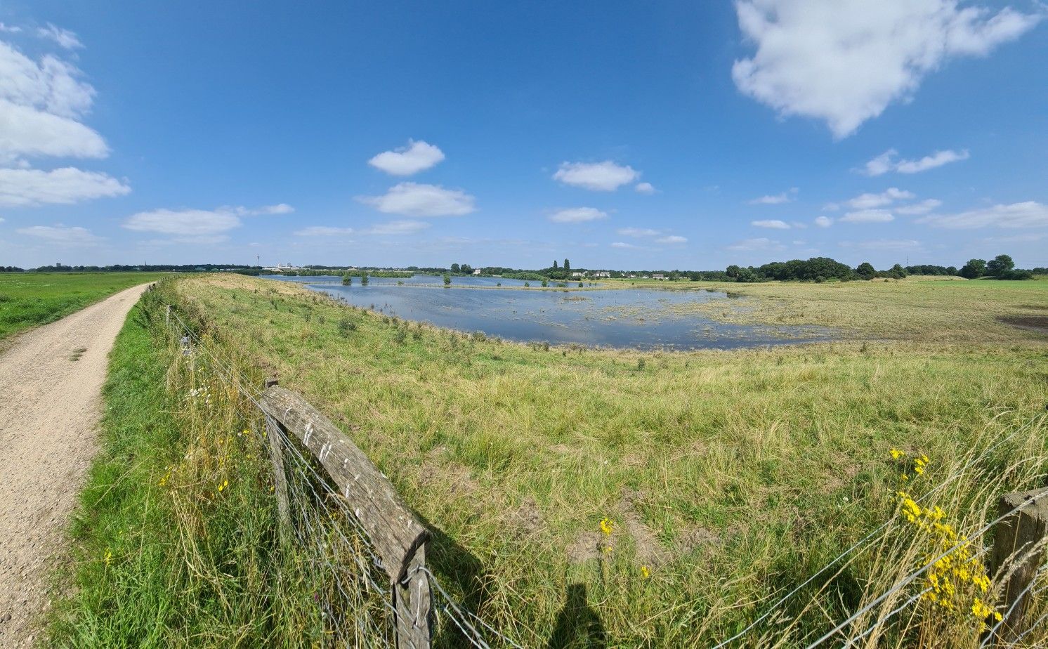
Simply beautiful nature and a lovely cycle path, when there is no flooding. During flooding, parts of the route are impassable.
1
0

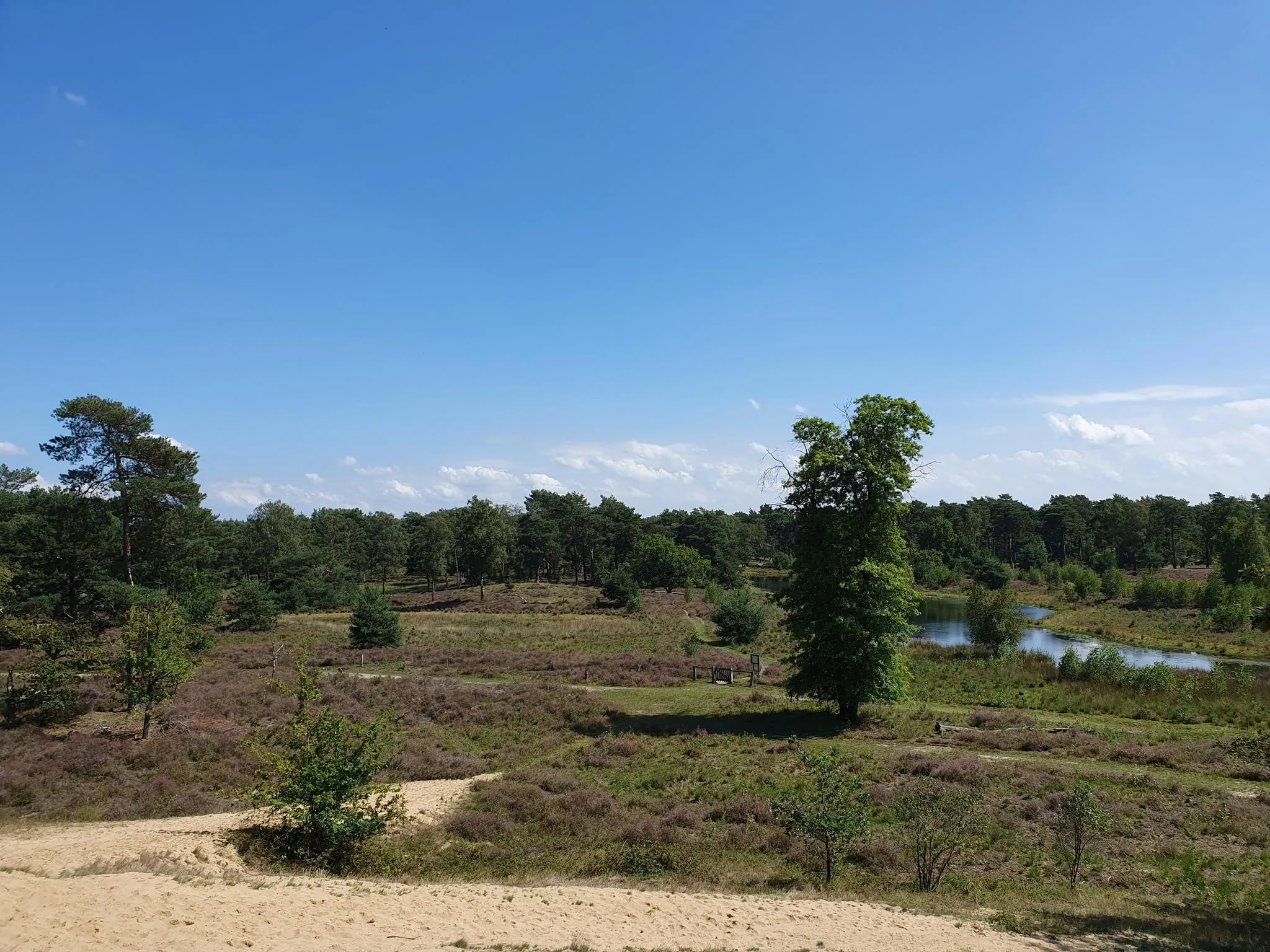
You will find a beautiful piece of nature here, nice and quiet for a walk and a break at the water's edge.
2
0

Vending machine and sales van always open, card payment possible
0
0

The trail is best ridden early in the morning
2
0
You can see a side stream of the land here. A small stream
2
0
Beautiful nature reserve with trees and streams and many animals.
3
1
Frequently Asked Questions
How many bus station hiking trails are available around Kevelaer?
There are over 170 hiking trails around Kevelaer that are easily accessible from bus stations. These routes cater to various fitness levels, with 117 easy, 54 moderate, and 6 difficult options.
What kind of landscape can I expect on these bus-accessible hikes in Kevelaer?
The bus-accessible hikes around Kevelaer primarily traverse the serene Lower Rhine landscape, characterized by wide-open spaces, green meadows, and tranquil water ditches. You'll find mostly flat terrain, making it suitable for all fitness levels. Notable areas include the forested Fleuthbenden Nature Reserve and the peaceful Schravelener Heide.
Are there any easy, family-friendly hiking trails accessible by bus in Kevelaer?
Yes, Kevelaer offers many easy, family-friendly routes. The flat terrain of the Lower Rhine is ideal for all ages. For example, the Kroatenkreuz Memorial – Inhalatorium in the Solegarten loop from Kevelaer is an easy 4.2 km hike that passes by the scenic St. Jakob Brine Garden, which features a graduation tower. The Marienpark also offers pleasant walks and playgrounds.
Can I find circular hiking routes that start and end at a bus stop?
Absolutely. Many of the bus-accessible trails in Kevelaer are circular, allowing you to return to your starting point without needing additional transport. Examples include the Fleuthbenden Nature Reserve – Issumer Fleuth Sandbank loop and the Issumer Fleuth Sandbank – Along the Issumer Fleuth loop from Winnekendonk.
Are there any natural features or landmarks to see along these bus station hiking trails?
Yes, several routes feature interesting natural and historical landmarks. You can explore the Wissen Castle along the Wissen Castle – Niers Riverside Trail loop. The Fleuthbenden Nature Reserve offers the Issumer Fleuth Sandbank. Additionally, the St. Jakob Brine Garden (Solegarten St. Jakob) is a unique feature on some routes.
What is the best time of year to go hiking from Kevelaer's bus stations?
Kevelaer's bus-accessible trails are enjoyable year-round. Spring and autumn offer pleasant temperatures and beautiful scenery with blooming flowers or colorful foliage. Summer is great for longer days, while winter can provide peaceful, crisp walks, especially on the flat, well-maintained paths of the Lower Rhine.
Are there any dog-friendly hiking trails accessible by bus?
Many trails in the Kevelaer region are dog-friendly, especially those through the open countryside and nature reserves like the Fleuthbenden. Always keep your dog on a leash, especially in nature protection areas, and be mindful of local regulations. The flat terrain is generally easy on paws.
What do other hikers enjoy most about hiking from bus stations in Kevelaer?
The komoot community highly rates the hiking experience around Kevelaer, with an average score of 4.57 stars. Hikers often praise the accessibility of the trails from public transport, the peaceful Lower Rhine landscape, and the well-maintained paths that make for relaxing and enjoyable walks.
Are there any longer, more challenging routes accessible by bus?
While many routes are easy, you can find moderate options for a longer outing. The Wissen Castle – Niers Riverside Trail loop from Kevelaer is a moderate 11.8 km hike that offers scenic views and requires a good level of fitness, all while being reachable by bus.
Can I find places to eat or drink near the bus stops along the trails?
Kevelaer town center, a hub for many bus lines, offers various cafes and restaurants. For routes venturing into smaller villages like Wetten or Winnekendonk, you might find local pubs or eateries. It's always a good idea to check opening times in advance, especially in smaller communities.
Are there any educational hiking experiences available?
Yes, Kevelaer offers a popular five-kilometer circular Tree Walk where you can discover 40 different tree species. Information about each tree is accessible via QR codes on plaques, providing an educational experience for all ages. This walk is easily accessible from Kevelaer's central bus stops.
Most popular routes around Kevelaer
Most popular attractions around Kevelaer

Get inspired with the komoot mobile app


Explore more
Browse the best Hikes in other regions.
