The best traffic-free bike rides around Stützerbach
4.8
(77)
439
riders
70
rides
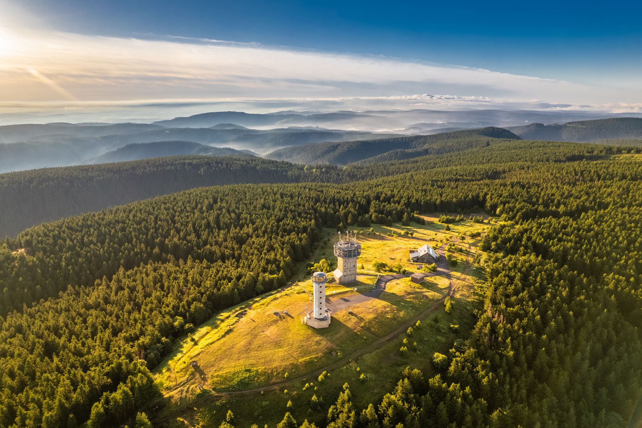
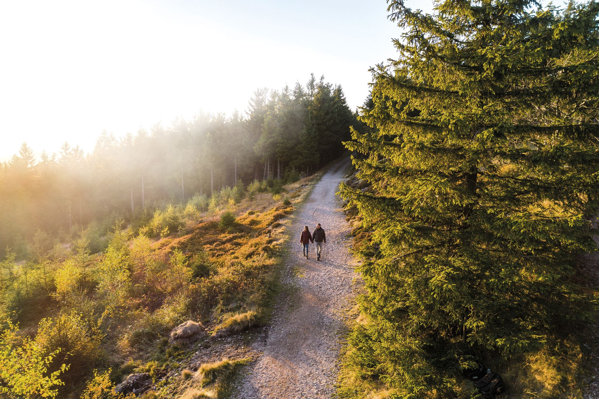
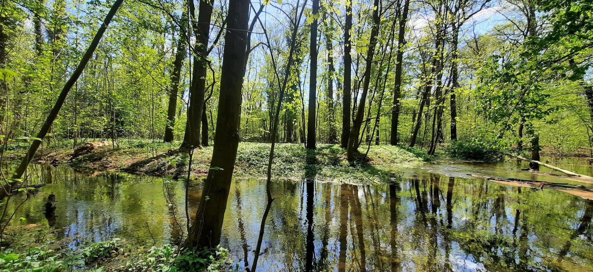
Gravel biking around Stützerbach offers access to the UNESCO Biosphere Reserve Thuringian Forest, characterized by a varied topography. The region is situated in the scenic Lengwitz valley, featuring a low mountain range landscape with elevations between 590 and 828 meters. This area is defined by clear streams, expansive forests, and meadows, providing diverse terrain for no traffic gravel bike trails. The network of routes transitions between paved roads, gravel paths, and root-laden trails.
Best no traffic gravel bike trails around…
Last updated: November 10, 2026
5.0
(3)
17
riders
Hard gravel ride. Very good fitness required. Mostly paved surfaces.
5.0
(2)
12
riders
Hard gravel ride. Very good fitness required. Mostly paved surfaces.
5.0
(1)
5
riders
39.6km
02:51
930m
930m
Hard gravel ride. Very good fitness required. Mostly paved surfaces.
Get access to more routes and recommendations from other explorers.
Already have an account?
Our route recommendations are based on thousands of hikes, rides, and runs completed by other people on komoot.
Start today with a free account
Your next adventure awaits.
Other adventures around Stützerbach


Tips from the Community

☆ A beautiful starting point to begin your goals on the Rennsteig.
0
0

The Große Dreiherrenstein (808 m) is a prominent historical border point and a central junction on the Rennsteig in the Thuringian Forest. The stone marks the historical border between the former lordships of Saxe-Weimar-Eisenach, Schwarzburg-Sondershausen, and Henneberg/Prussia.
5
0

The loop around the Schönbrunn reservoir is about 14 km. There are enough resting places and views to enjoy are included anyway.
0
0

Top location on the Rennsteig: The proximity to the famous ridge trail allows for a combination of forest descents and ridge tours. Varied topography: Steep ascents from the Tannengrund or Reuscheltal demand stamina, but reward with brisk descents. Nature experience: The reservoir, with its bays, is reminiscent of a small fjord landscape in the middle of the dense low mountain forest. Tour combinations: Perfect as a stopover or turning point for larger loops, which often start in Schleusingen or Masserberg.
3
0
The Schönbrunn dam is located in the southern Thuringian Forest in the municipality of Schleusegrund (Hildburghausen district, Thuringia). It was commissioned in 1977. The dam is located about 20 kilometers south of Ilmenau and 15 kilometers northeast of Schleusingen. The river Schleuse is dammed. Source: https://de.wikipedia.org/wiki/Talsperre_Sch%C3%B6nbrunn#:~:text=Die%20Talsperre%20Sch%C3%B6nbrunn%20liegt%20im,Gestaut%20wird%20der%20Fluss%20Schleuse.
3
0
The Schönbrunn dam in the Thuringian Forest is attractive for mountain biking due to its charming combination of idyllic, flat shore paths and challenging, hilly ascents in the surrounding mountainous terrain around the Rennsteig. The circuit offers constant views of the blue water of the reservoir and the forest-rich heights of the Thuringian Forest.
3
0

Wonderful bridge, simply great structures. I can admire them again and again.
0
0

It's a great place for hiking.
0
0
Frequently Asked Questions
How many traffic-free gravel bike trails are available around Stützerbach?
Stützerbach offers a wide selection of traffic-free routes perfect for gravel biking, with over 75 tours available. These trails range from moderate to difficult, ensuring a suitable challenge for various skill levels while allowing you to enjoy the serene Thuringian Forest.
Are there family-friendly, traffic-free gravel routes in Stützerbach?
While many routes in the region are rated moderate to difficult, Stützerbach is known for its diverse trail network, including options suitable for families and casual riders. The area's focus on outdoor activities means you can find paths that are less challenging and still offer the beauty of the Thuringian Forest without vehicle traffic.
Where can I find parking for gravel biking trails in Stützerbach?
As a recognized health resort and popular outdoor destination, Stützerbach provides various parking options throughout the village and at trailheads. Look for designated parking areas near the town center or at the start of major trail networks to easily access the traffic-free gravel routes.
What scenic landmarks can I explore along the traffic-free gravel bike trails near Stützerbach?
The trails around Stützerbach offer access to stunning natural and historical landmarks. You can cycle towards the impressive Kickelhahn Tower for panoramic views, or venture to the Schneekopf Summit and Observation Tower, Thuringia's second-highest peak. Many routes also pass by the Highest Point of the Rennsteig, offering a rich blend of nature and history.
What is the best time of year for gravel biking in Stützerbach?
The Thuringian Forest is beautiful year-round, but spring, summer, and autumn are particularly ideal for gravel biking. Spring brings lush greenery, summer offers pleasant temperatures, and autumn transforms the landscape with vibrant colors. Even in winter, some trails are accessible, providing a unique experience in the snow-covered forest, though conditions can vary.
Are there any circular (loop) gravel bike routes around Stützerbach?
Yes, many of the traffic-free gravel routes around Stützerbach are designed as circular loops, allowing you to start and end your ride in the same location. For example, the "Schönbrunn Reservoir – View of the Schönbrunn Reservoir loop from Stützerbach" offers a scenic loop through the forest and past the reservoir.
What do other gravel bikers enjoy most about the traffic-free trails in Stützerbach?
The komoot community highly rates the gravel biking experience in Stützerbach, with an average score of 4.76 stars. Reviewers often praise the region's pristine natural environment, the quiet and well-maintained forest paths, and the stunning panoramic views from elevated points like Kickelhahn and Schneekopf. The sense of being immersed in nature, away from traffic, is a recurring highlight.
Can I find routes that connect to the famous Ilmtal Cycle Path from Stützerbach?
Absolutely. Stützerbach is conveniently located near the starting point of the popular Ilmtal Cycle Path. You can explore routes like the "Ilmtal Cycle Path Near Ilmenau – Center of the Rennsteig loop from Stützerbach" which integrates sections of this renowned path, offering a blend of forest trails and riverside cycling. For more information on the Ilmtal Cycle Path, you can visit Wikipedia.
Are there any long-distance, car-free gravel routes originating from Stützerbach?
Stützerbach is an excellent starting point for longer car-free gravel adventures. The region connects to parts of the Rennsteig, a famous long-distance trail, and other extensive forest networks. Routes like the "Highest Point of the Rennsteig – Mönchhof Inn loop from Stützerbach" provide a challenging, longer ride through the heart of the Thuringian Forest.
What kind of terrain can I expect on the traffic-free gravel trails in Stützerbach?
The terrain around Stützerbach is characteristic of a low mountain range, with elevations between 590 and 828 meters. You can expect a mix of well-maintained gravel paths, forest roads, and some root-laden sections, making it ideal for gravel bikes. The varied topography ensures a dynamic and engaging riding experience through expansive forests and meadows.
Are there any historical sites or castles accessible by gravel bike near Stützerbach?
Yes, the region around Stützerbach is rich in history. While cycling, you might encounter historical sites such as the Ruins of the Raubschloss (Old Castle) or the Gehren Castle Ruins. These offer interesting detours and a glimpse into the area's past amidst your gravel biking adventure.
Most popular routes around Stützerbach
Most popular attractions around Stützerbach

Get inspired with the komoot mobile app


Explore more
Browse the best Gravel rides in other regions.
