The best hikes from bus stations around Übach-Palenberg
4.6
(524)
2,442
hikers
70
hikes
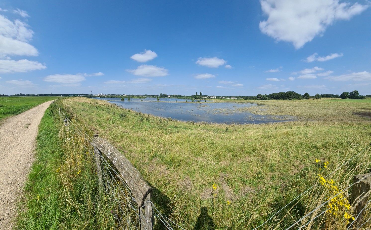
Bus station hiking trails around Übach-Palenberg traverse a varied landscape characterized by the Wurmtal (Wurm Valley), gently rising wooded slopes, and fertile fields. The region is situated on the edge of the Maas-Schwalm-Nette Nature Park, featuring the Wurm River and its tributaries. Nearby, the Teverener Heide Nature Reserve offers unique moor, heath, and sandy landscapes with numerous lakes. The Carl-Alexander-Park, built on a former coal mine, provides panoramic views and a blend of nature and industrial history.
Best bus station…
Last updated: June 27, 2026
4.3
(49)
138
hikers
Easy hike. Great for any fitness level. Easily-accessible paths. Suitable for all skill levels.
4.0
(13)
61
hikers
Moderate hike. Good fitness required. Easily-accessible paths. Suitable for all skill levels.

Sign up for free
4.7
(6)
31
hikers
10.1km
02:39
90m
90m
Moderate hike. Good fitness required. Easily-accessible paths. Suitable for all skill levels.
4.5
(8)
53
hikers
Easy hike. Great for any fitness level. Easily-accessible paths. Suitable for all skill levels.
4.3
(26)
110
hikers
7.55km
01:59
70m
70m
Easy hike. Great for any fitness level. Easily-accessible paths. Suitable for all skill levels.
Get access to more routes and recommendations from other explorers.
Sign up for free
Already have an account?
Our route recommendations are based on thousands of hikes, rides, and runs completed by other people on komoot.
Start today with a free account
Your next adventure awaits.
Login or Signup
Popular around Übach-Palenberg
Other adventures around Übach-Palenberg

Tips from the Community


The Rimburg and the Friedens mal like the turtles on the Wurmbrücke. It is an interesting place for a short rest a little way into the town on the corner there is a nice café.
1
0

Rimburg Castle is a moated castle with a history dating back to the 12th century, likely built on the remains of a Roman roadside post. Over the centuries, the complex has been rebuilt several times, particularly in the 19th century in the Baroque style, and has seen changing owners. During the Napoleonic Wars and World War II, the castle was damaged but was largely preserved and repaired.
0
0

This "bunker" and ruin is the former burial vault of Rimburg Castle.
0
0

Nice photo stop, but otherwise not much to explore
2
0
Reconstructed Roman bathhouse with information board
0
0
Frequently Asked Questions
How many bus station hiking trails are available in Übach-Palenberg?
There are over 70 hiking trails in Übach-Palenberg that are easily accessible from bus stations. These routes offer diverse experiences, from gentle strolls through the Wurmtal to more extensive explorations of the Teverener Heide.
What kind of landscapes can I expect on these bus-accessible trails?
The bus-accessible trails in Übach-Palenberg lead through a variety of landscapes. You can explore the picturesque Wurmtal with its gently rising, partly wooded slopes and the Wurm River, or venture into the unique moor and heath landscapes, sandy areas, and lakes of the Teverener Heide Nature Reserve. Some routes also pass through the innovative Carl-Alexander-Park, offering panoramic views from its high plateau.
Are there any easy or family-friendly hiking options from bus stops?
Yes, many of the trails accessible from bus stations are suitable for families and beginners. Over 60 routes are rated as easy. A great option is the Roman Bath Ruins Palenberg – Wurmtal Recreation Area Ponds loop from Teveren, which is just over 5 km long and offers a pleasant walk through the scenic Wurmtal.
Can I find circular hiking routes that start and end at a bus station?
Absolutely. Many of the trails are designed as circular routes, allowing you to start and finish your hike conveniently at the same bus stop. For example, the Zweibrüggen Water Mill – Wurmtal Recreation Area Ponds loop from Übach-Palenberg is an easy 5 km circular trail perfect for a relaxed outing.
What historical or cultural sights can I see along these trails?
Several bus-accessible trails incorporate historical and cultural points of interest. You might encounter the reconstructed Roman Bath Ruins Palenberg, or explore routes leading to the impressive Rimburg Castle and its associated watermills. The region's rich history is woven into its hiking network.
Are there any trails that pass by lakes or natural reserves?
Yes, many trails offer access to beautiful natural areas. The Teverener Heide Lakes and the Brunssummerheide Nature Reserve are prominent features in the region, with routes like the Rimburg Castle – Roman Bath Ruins Palenberg loop from Teveren offering glimpses of these natural wonders.
What do other hikers say about the bus station trails in Übach-Palenberg?
The hiking trails in Übach-Palenberg are highly rated by the komoot community, with an average score of 4.5 stars from over 500 ratings. Hikers often praise the well-maintained paths, the diverse scenery, and the convenience of accessing these beautiful routes directly from public transport.
Are there any longer, more challenging routes accessible by bus?
While most routes are easy, there are moderate options for those seeking a longer challenge. For instance, the Wurmtal Recreation Area Ponds – Rimburg Castle loop from Übach-Palenberg is a moderate 8.2 km trail that offers a rewarding experience with varied terrain.
Can I bring my dog on these bus-accessible hiking trails?
Generally, dogs are welcome on most hiking trails in the Übach-Palenberg region. However, it's always advisable to keep your dog on a leash, especially in nature reserves like the Teverener Heide, to protect wildlife and ensure a pleasant experience for all hikers. Always check local signage for specific rules.
What is the best season to hike these trails from bus stations?
Übach-Palenberg's trails are enjoyable year-round. Spring brings blooming wildflowers, summer offers lush greenery, and autumn transforms the landscape with vibrant colors. Even in winter, the trails can be beautiful, especially after a light snowfall. The Teverener Heide's unique heathland is particularly stunning in late summer when the heather blooms.
Are there any trails that offer scenic viewpoints?
Yes, the Carl-Alexander-Park, accessible via bus, features an 80-meter-high plateau that provides a spectacular panoramic view of the Euregio Maas-Rhein. Many trails through the Wurmtal also offer charming vistas of the valley and surrounding countryside.
Most popular routes around Übach-Palenberg
Most popular attractions around Übach-Palenberg

Get inspired with the komoot mobile app


Explore more
Browse the best Hikes in other regions.
