The best hikes from bus stations around Lienen
4.5
(4727)
16,543
hikers
76
hikes
Bus station hiking trails around Lienen offer access to the diverse landscapes of the Teutoburg Forest. The region is characterized by rolling hills, dense woodlands, and forested limestone and sandstone ridges. Hikers can explore a moderately hilly profile with attractive transitions between forest and open fields, providing varied and engaging scenery. Lienen is situated within the Northern Teutoburg Forest Nature Park, offering a blend of natural features for outdoor activities.
Best bus station hiking trails around Lienen
- The most popular…
Last updated: August 20, 2026
4.7
(83)
275
hikers
6.91km
02:02
200m
200m
Moderate hike. Good fitness required. Easily-accessible paths. Suitable for all skill levels.
4.7
(119)
402
hikers
6.16km
01:45
140m
140m
Easy hike. Great for any fitness level. Easily-accessible paths. Suitable for all skill levels.

Sign up for free
4.6
(141)
584
hikers
7.44km
02:06
160m
160m
Moderate hike. Good fitness required. Easily-accessible paths. Suitable for all skill levels.
4.6
(119)
344
hikers
13.4km
03:43
240m
240m
Moderate hike. Good fitness required. Easily-accessible paths. Suitable for all skill levels.
4.6
(192)
704
hikers
8.82km
02:31
200m
200m
Moderate hike. Good fitness required. Easily-accessible paths. Suitable for all skill levels.
Get access to more routes and recommendations from other explorers.
Sign up for free
Already have an account?
Our route recommendations are based on thousands of hikes, rides, and runs completed by other people on komoot.
Start today with a free account
Your next adventure awaits.
Login or Signup
Popular around Lienen

#GoFurther – discover the views of Germany!

Teutoschleifen – hiking on premium trails in Tecklenburger Land
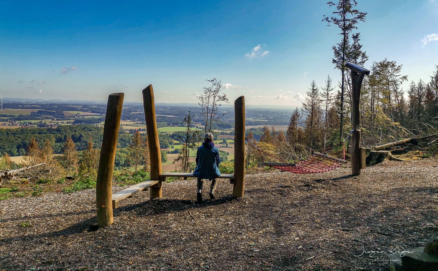
Close to the Hermann Heights Trail – 18 circulars in the Teutoburg Forest
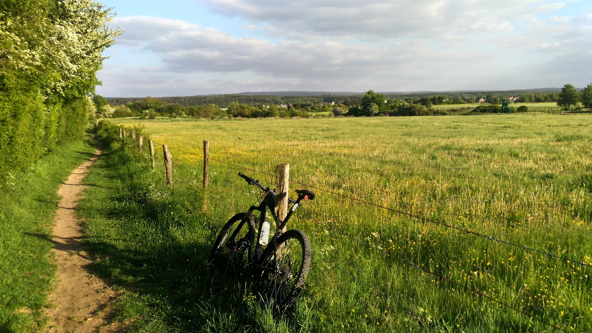
D-Route 7: Pilgrimage Route
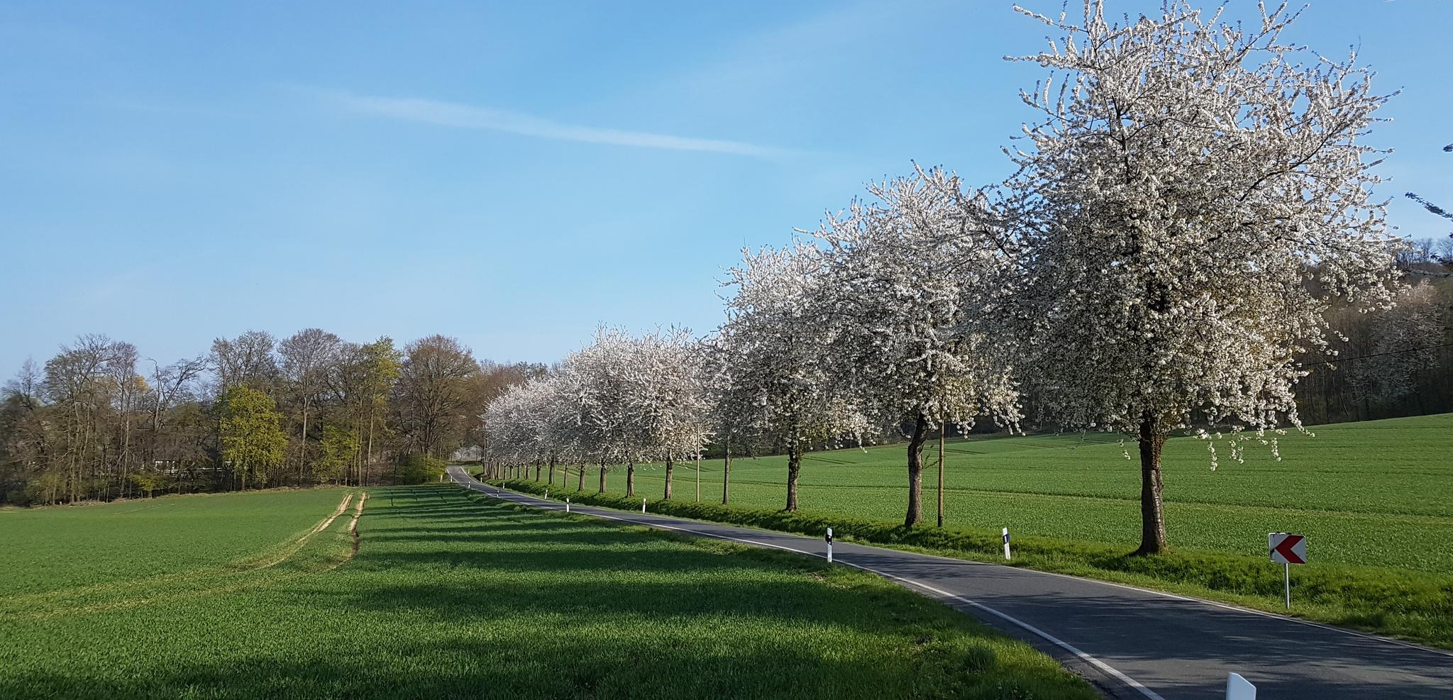
Mit dem E-Bike ab Lienen die Region erkunden
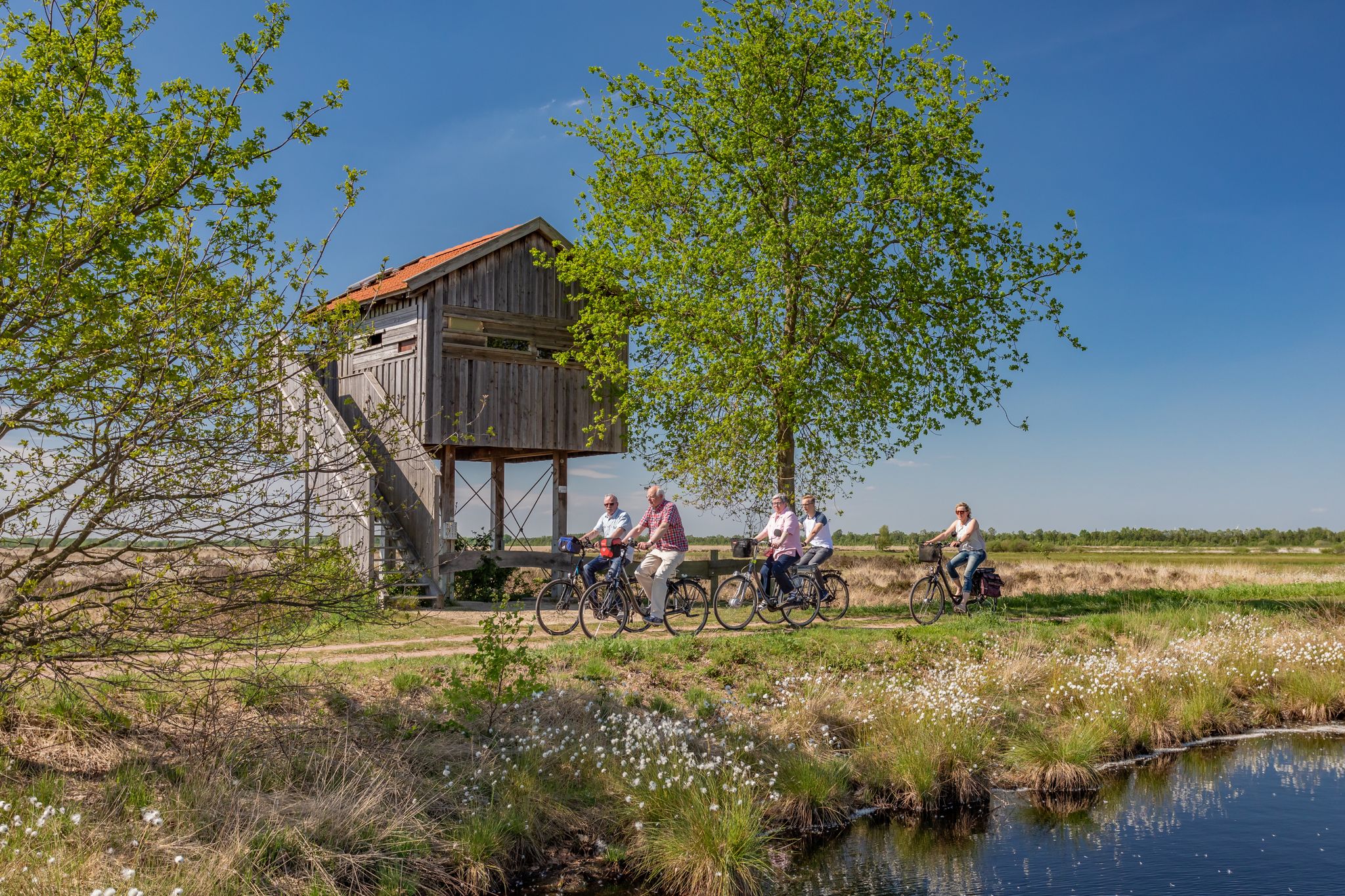
Vom Kiebitz empfohlen – NaTourismus-Routen im Tecklenburger Land
Other adventures around Lienen


Tips from the Community

The picturesque hiking trail near the Lienen limestone quarry offers breathtaking views of the surrounding landscape.
2
0


Great base for many walks.
1
0

Great way to the Malepartus beer garden
4
0

Small break nice view what more do you need
5
0

Large free car park to start hiking from.
1
0

A very large hiker's hut with many wind and weather-protected seats. Nice view from here.
3
0

Small waterfall, like a big one in miniature and nice to look at, although easy to miss.
2
0
Frequently Asked Questions
How many bus station accessible hiking trails are available around Lienen?
There are over 70 hiking trails around Lienen that are easily accessible from bus stations. These routes cater to various fitness levels, with nearly 40 easy and 35 moderate options, ensuring there's a suitable path for almost everyone.
What kind of terrain can I expect on hikes starting from Lienen's bus stations?
Hikes from Lienen's bus stations typically feature the diverse topography of the Teutoburg Forest. You'll encounter moderately hilly profiles with attractive transitions between dense woodlands and open fields. Expect well-maintained paths, often winding through forested limestone and sandstone ridges.
Are there any circular routes available from bus stops in Lienen?
Yes, many of the bus station accessible trails around Lienen are circular, allowing you to return to your starting point without needing additional transport. An example is the View of Münsterland – Malepartus Forest Inn loop from Lienen, which offers scenic vistas and a convenient stop.
What natural landmarks or viewpoints can I discover on these trails?
The trails around Lienen offer several notable natural features and viewpoints. You can explore the mystical Hexenküche Rock Formation, known for its intriguing geology. Many routes also provide stunning vistas, such as the View of Lengerich Canyon, offering breathtaking panoramic views of the region.
Are there family-friendly hiking options accessible by bus in Lienen?
Yes, Lienen offers several family-friendly routes that are easily reachable by bus. These trails are generally shorter and less strenuous, perfect for a day out with children. The varied landscape with forests and open fields provides an engaging environment for younger hikers to explore.
Can I bring my dog on hikes starting from Lienen's bus stations?
Most hiking trails around Lienen are dog-friendly, making them ideal for exploring with your canine companion. It's always recommended to keep dogs on a leash, especially in nature reserve areas or near wildlife, and to carry water for them.
What is the best time of year to hike around Lienen?
The Lienen region is beautiful for hiking year-round, but spring and autumn are particularly recommended. In spring, the woodlands burst with new life, and in autumn, the foliage offers vibrant colors. The climate during these seasons is generally mild and pleasant for outdoor activities.
Are there places to eat or rest along the bus station accessible routes?
Yes, some routes include convenient stops for refreshments. For instance, the Malepartus Forest Inn – View of Münsterland loop from NSG Lienener Osning passes by the Malepartus Forest Inn, a popular stop known for its food, drinks, and outdoor seating.
What do other hikers enjoy most about the bus station trails in Lienen?
The komoot community highly rates the hiking experience around Lienen, with an average score of 4.5 stars from over 3,900 ratings. Reviewers often praise the well-maintained paths, the diverse scenery of the Teutoburg Forest, and the accessibility of trails from public transport, making it easy to explore the region's natural beauty.
Are there any longer, more challenging routes accessible from bus stations?
While many routes are moderate, some longer options are available for those seeking more challenge. For example, the Malepartus Forest Inn – View of Münsterland loop from NSG Lienener Osning is a moderate 13.4 km route, offering a longer day out in the scenic landscape. The region also connects to parts of the long-distance Hermannsweg trail.
Can I find historical sites or castles near the bus station hiking trails?
Yes, the region around Lienen is rich in history. While hiking, you might find yourself near historical sites such as the Historic Old Town of Tecklenburg. Further afield but still accessible, you can explore castles like Bad Iburg Castle and Charlottensee Park or the Tecklenburg Castle Ruins and Open-Air Theatre.
Most popular routes around Lienen
Most popular attractions around Lienen

Get inspired with the komoot mobile app


Explore more
Browse the best Hikes in other regions.
