The best hikes from bus stations around Voerde (Niederrhein)
4.4
(1196)
5,318
hikers
136
hikes
Bus station hiking trails around Voerde (Niederrhein) offer access to a diverse landscape shaped by rivers, lowlands, and woodlands. The region is situated between the Rhine, the Wesel-Datteln Canal, and the Rotbach, providing varied terrain for outdoor activities. Hikers can explore extensive Rhine frontages, the idyllic Momm-Niederung with its meadows and pollard willows, and sections of the Hohe Mark nature reserve. The area features a mix of riverbanks, dense forests, and gentle rolling hills, making it suitable for various hiking…
Last updated: September 30, 2026
4.6
(61)
159
hikers
Moderate hike. Good fitness required. Easily-accessible paths. Suitable for all skill levels.
4.6
(27)
76
hikers
16.5km
04:11
40m
40m
Moderate hike. Good fitness required. Easily-accessible paths. Suitable for all skill levels.

4.5
(21)
134
hikers
3.58km
00:54
10m
10m
Easy hike. Great for any fitness level. Easily-accessible paths. Suitable for all skill levels.
4.3
(14)
40
hikers
Moderate hike. Good fitness required. Easily-accessible paths. Suitable for all skill levels.
4.6
(64)
253
hikers
5.86km
01:29
10m
10m
Easy hike. Great for any fitness level. Easily-accessible paths. Suitable for all skill levels.
Get access to more routes and recommendations from other explorers.
Already have an account?
Our route recommendations are based on thousands of hikes, rides, and runs completed by other people on komoot.
Start today with a free account
Your next adventure awaits.
Popular around Voerde (Niederrhein)


Tips from the Community

The Lower Rhine - a wonderful route for hiking or walking.
1
0

The name is misleading - no apartments, but lots of forest.
0
0

"Götterswickerhamm is one of the oldest districts of the town of Voerde (Lower Rhine) in the Wesel district, North Rhine-Westphalia. Götterswickerhamm is located on the right bank of the Lower Rhine at kilometer mark 800..." FURTHER INFORMATION: https://de.wikipedia.org/wiki/G%C3%B6tterswickerhamm
1
0
"The Rhine is the major and important transport axis of our landscape. It connects states and regions – but it also separates countries, federal states, cities, districts, and municipalities. A good example is the district of Wesel, which has its territory on both banks of the Rhine. But to this day, the Rhine is also a river with dangers, with bathers and ship crews being particularly frequent victims. In the past, the number of casualties was much higher, especially in shipping accidents and on-board work accidents. Water police and fireboats with advanced technical equipment are only a modern achievement. The victims recovered from accidents and water bodies on the right bank of the Rhine near Götterswickerhamm were laid out in a small building, the so-called "morgue" or "dead house," until burial. Near Götterswickerhamm, the Rhine makes particularly sharp bends. In addition, a large number of groynes were built here in the Rhine. These are shallow dams built at right angles from the bank toward the middle of the river. In addition to flotsam, drowned bodies were repeatedly washed ashore in this area of the Rhine. Until they could be identified, they were housed in the mortuary, which had been built on the dike for this purpose before 1890. The present mortuaries did not yet exist at that time. The mortuary was relocated to the waterside of the dike during the dike renovation from 1930 to 1933. After its destruction in World War II, it was rebuilt on this site in 1947. With the construction of mortuaries in close proximity to the cemeteries, the house on the dike lost its function. It was demolished in 1971. During the dike renovation in 2010, this rare relic of burial culture disappeared along with the last remnants of the walls. To this day, it is said that the mortuary was once a popular destination for lovers; it was also a test of courage to "view" the washed-up corpses at night. Since 2012, there has been a memorial stone with an information plaque not far from the old site. (Stefan Kronsbein / Johanna Siewers / with kind comments from Heinz Boß, Association for Local Heritage and Transport Voerde (Lower Rhine). Created in cooperation with the Biological Station in the District of Wesel as part of the "Hidden Treasures Inclusive" project. A project of the LVR Network for Landscape Cultural Conservation, 2016) https://www.kuladig.de/Objektansicht/KLD-258330
1
0

The Wohnungswald (apartment forest) is an oasis of tranquility and a feast for the soul. Birdsong, beautiful shades of green, beautiful paths, nature seemingly at peace with itself. For me, it's a top highlight in our area.
0
0

Here you can enjoy nice views of the Rhine. In the Rheinaue, the Rhine seems very distant.
1
0

Gable of a horse stable, with numerous creative birdhouses. Each with an individual design.
1
0

Koga-Willi's link unfortunately no longer works. However, the information can still be found on the official website of the city of Voerde in the list of monuments: https://www.voerde.de/bildung-kultur/denkmaeler
4
0
Frequently Asked Questions
How many bus-accessible hiking trails are available in Voerde (Niederrhein)?
There are over 140 hiking routes around Voerde (Niederrhein) that are accessible by bus. These range from easy strolls to more challenging moderate hikes, offering a wide variety of experiences.
What kind of landscapes can I expect on bus-accessible hikes in Voerde (Niederrhein)?
The region offers diverse landscapes, including extensive Rhine frontages with scenic trails, the idyllic Momm-Niederung with its meadows and pollard willows, and woodlands near the Hohe Mark Nature Reserve. You'll also find routes along the Rotbach and Emscher rivers, and around lakes like Silbersee II.
Are there any easy, family-friendly hikes accessible by bus in Voerde (Niederrhein)?
Yes, many routes are suitable for families. For an easy option, consider the Rotbach Stream – Wohnungswald (Housing Forest) loop from Möllen, which is just over 3.5 km. The area around Silbersee II also offers relaxed circular paths.
What are some notable landmarks or points of interest I can see on these trails?
Several routes pass by historical and natural highlights. You might encounter the impressive Water Castle Haus Voerde, or explore the historic Rhine village of Götterswickerhamm. For unique natural features, the Momm-Niederung is known for its pollard willows and birdlife. While not directly on every bus route, you can find highlights like the Summit Cross Pattberg Spoil Heap or the Halde Gärtnerbecken Summit in the wider region.
Are there any circular hiking routes that start and end near a bus stop?
Yes, many of the bus-accessible routes are circular. For example, the Pollarded Willow Avenue, Momm-Niederung – Rheindeich Trail loop from Voerde offers a moderate circular experience, taking you through varied scenery.
What is the best time of year to go hiking in Voerde (Niederrhein) using public transport?
Spring and autumn are generally the best seasons for hiking in Voerde (Niederrhein). The weather is mild, and the natural scenery is particularly vibrant, with blossoming wildflowers in spring and colorful foliage in autumn.
Are there any longer, more challenging hikes accessible by bus?
While most routes are easy to moderate, some offer a longer distance. The Rheindeich Trail – Leichenhäuschen Memorial loop from Kreis Wesel is a moderate route spanning over 16 km, providing a good option for those looking for a longer day out.
What do other hikers say about the trails in Voerde (Niederrhein)?
The komoot community highly rates the hiking experiences in Voerde (Niederrhein), with an average score of 4.4 out of 5 stars from over 1000 ratings. Reviewers often praise the diverse landscapes, the tranquility of the Momm-Niederung, and the scenic views along the Rhine.
Can I find routes that feature water bodies like rivers or lakes?
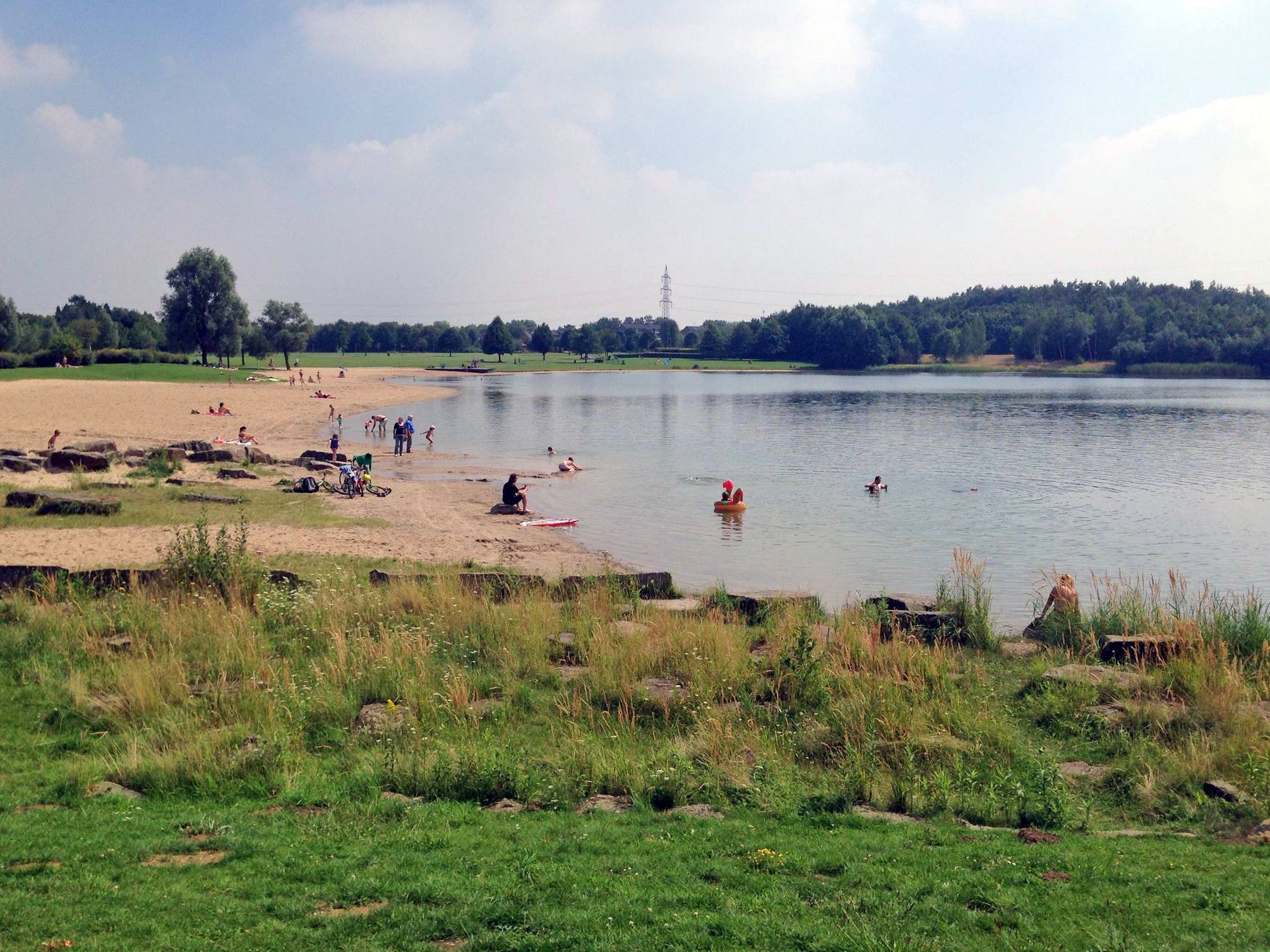
Absolutely. Many trails incorporate water features. You can hike along the Rhine, the Rotbach river, or explore routes around lakes such as Silbersee II. The Tenderingssee – Sandy Beach at Tenderingsee loop from Voerde is a good example of a lake-focused easy hike.
Are there any specific routes that highlight the unique natural features of the Lower Rhine region?
Yes, the Momm-Niederung is a prime example of the Lower Rhine's unique natural beauty, characterized by its lush meadows and distinctive pollard willows. Routes like the Pollarded Willow Avenue, Momm-Niederung – Rheindeich Trail loop from Voerde specifically lead through these serene landscapes, offering opportunities to observe local wildlife.
Most popular routes around Voerde (Niederrhein)
Most popular attractions around Voerde (Niederrhein)

Get inspired with the komoot mobile app


Explore more
Browse the best Hikes in other regions.
