The best hikes from bus stations around Hamminkeln
4.6
(4124)
14,478
hikers
201
hikes
Hiking around Hamminkeln offers diverse landscapes in the Lower Rhine region, characterized by its generally flat terrain. The area features extensive forests, such as the Diersfordter Forest, and significant natural features like the Hohe Mark Nature Park. Hikers can explore varied environments including moors, floodplains, and areas along the Rhine River and various lakes. This blend of accessible terrain and natural beauty makes Hamminkeln suitable for a wide range of outdoor activities.
Best bus station hiking trails around Hamminkeln
- The…
Last updated: August 20, 2026
4.7
(44)
146
hikers
Easy hike. Great for any fitness level. Easily-accessible paths. Suitable for all skill levels.
4.0
(22)
106
hikers
Moderate hike. Good fitness required. Easily-accessible paths. Suitable for all skill levels.

Sign up for free
4.4
(14)
49
hikers
14.0km
03:33
40m
40m
Moderate hike. Good fitness required. Easily-accessible paths. Suitable for all skill levels.
4.7
(22)
77
hikers
Moderate hike. Good fitness required. Easily-accessible paths. Suitable for all skill levels.
4.9
(17)
50
hikers
8.79km
02:16
50m
50m
Moderate hike. Good fitness required. Easily-accessible paths. Suitable for all skill levels.
Get access to more routes and recommendations from other explorers.
Sign up for free
Already have an account?
Our route recommendations are based on thousands of hikes, rides, and runs completed by other people on komoot.
Start today with a free account
Your next adventure awaits.
Login or Signup
Popular around Hamminkeln
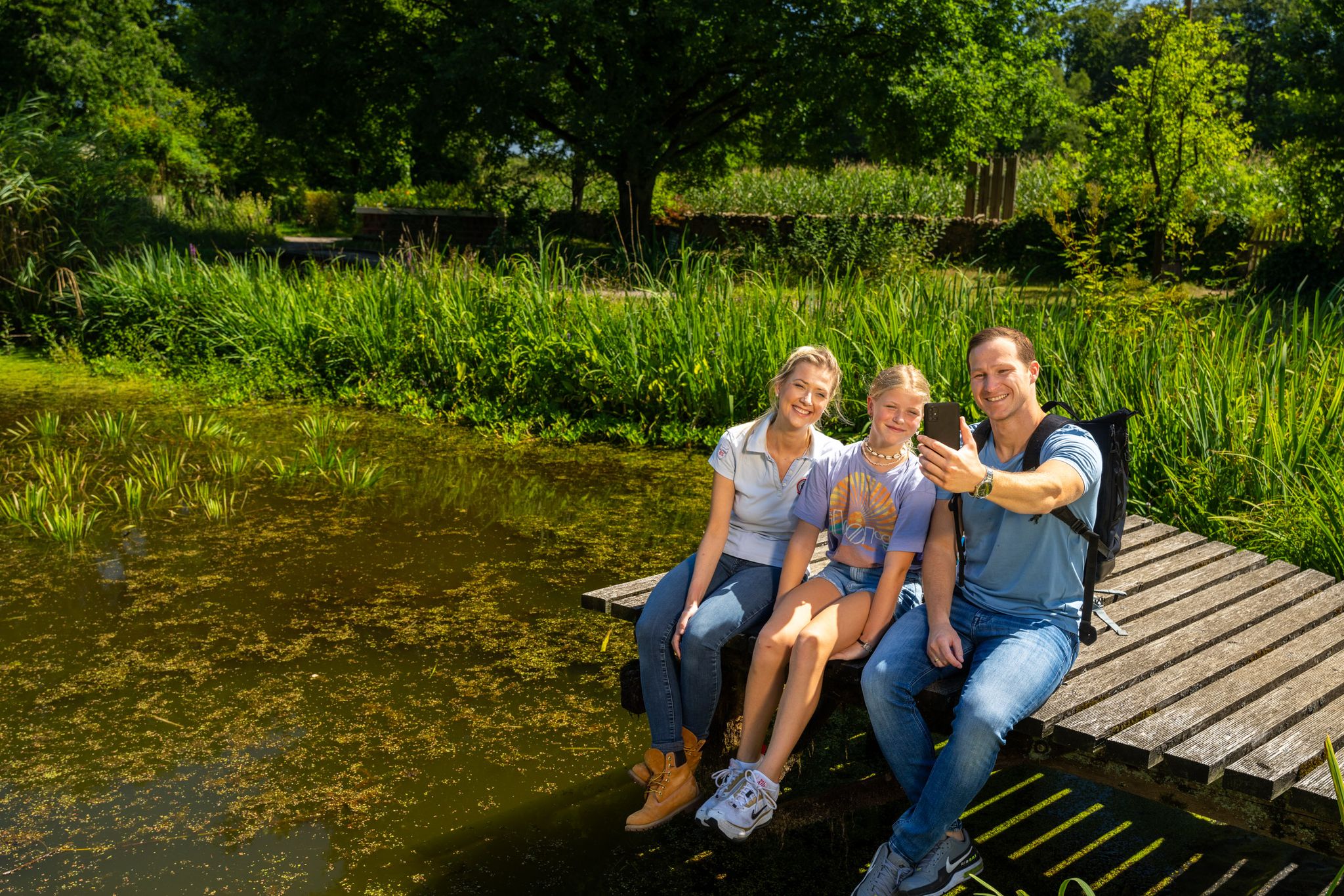
Hiking and discoveries – family walks in the Hohe Mark Nature Park
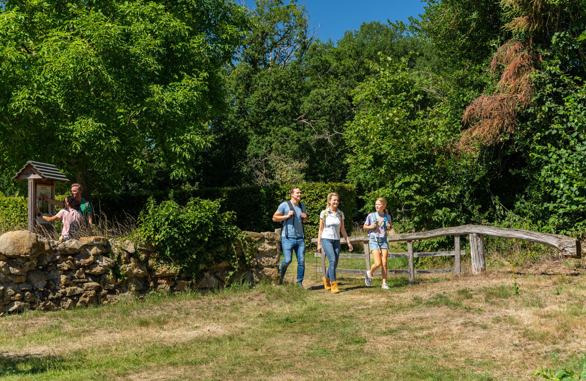
LandStreifer – circular hiking trails to Germany’s Hohe Mark Steig
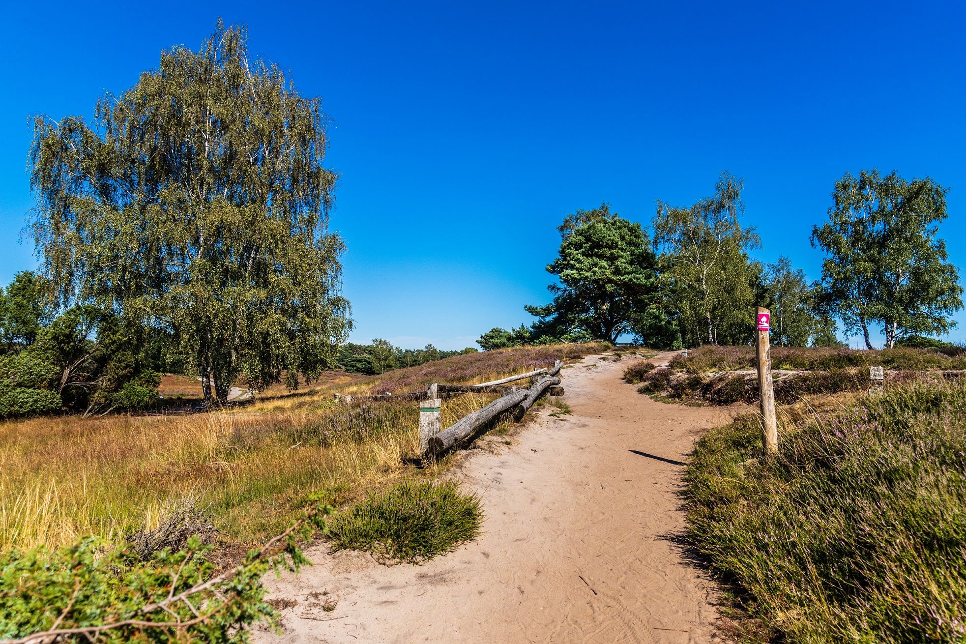
Your bond with nature — Germany’s Hohe Mark Steig
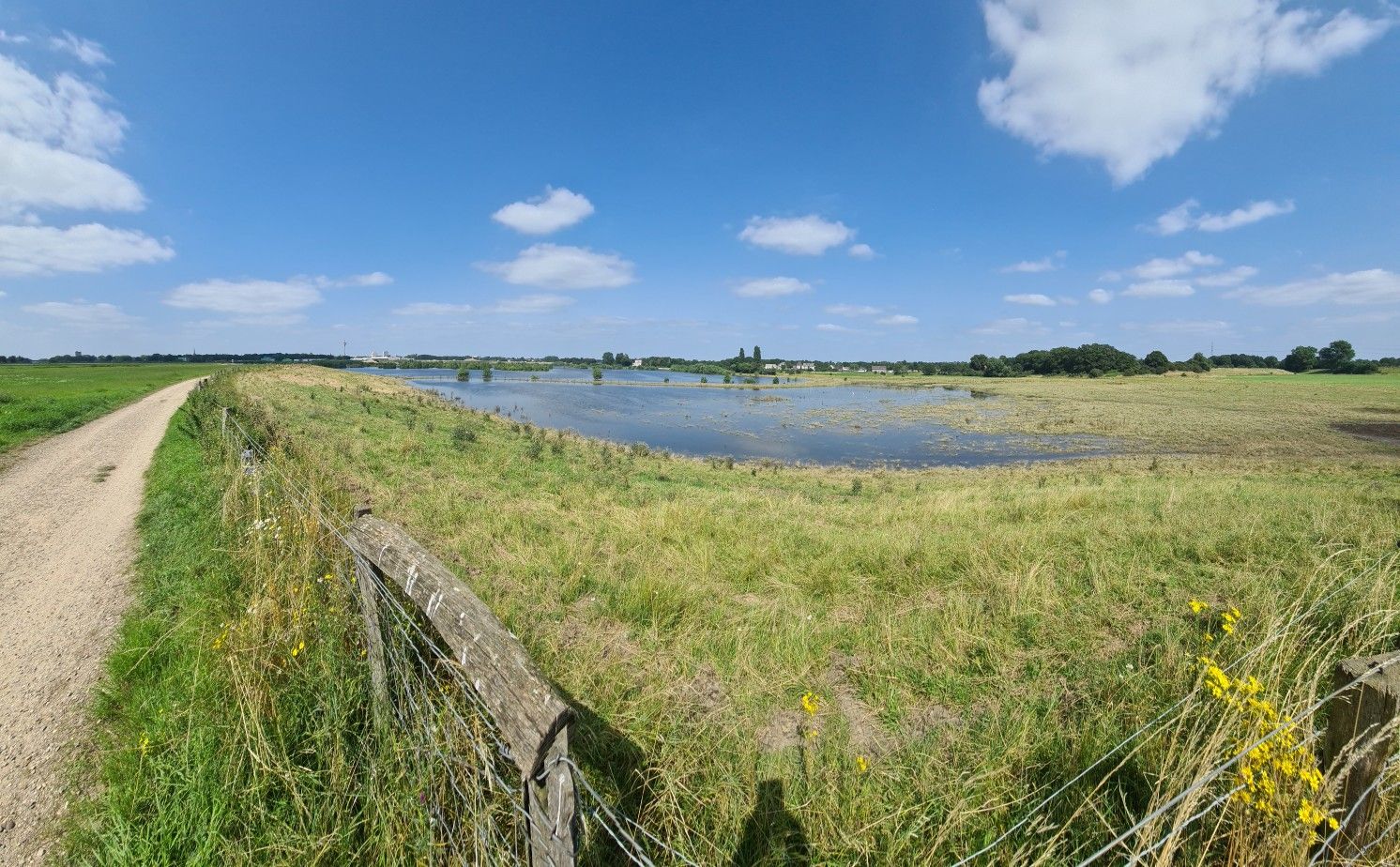
The way is the goal – Lower Rhein Route
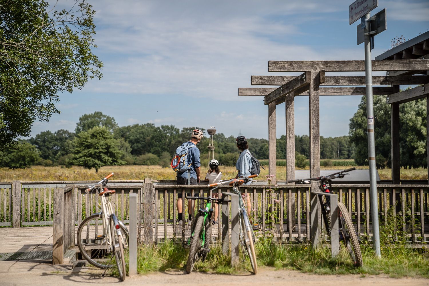
Day Tours on the Hohe Mark cycle route
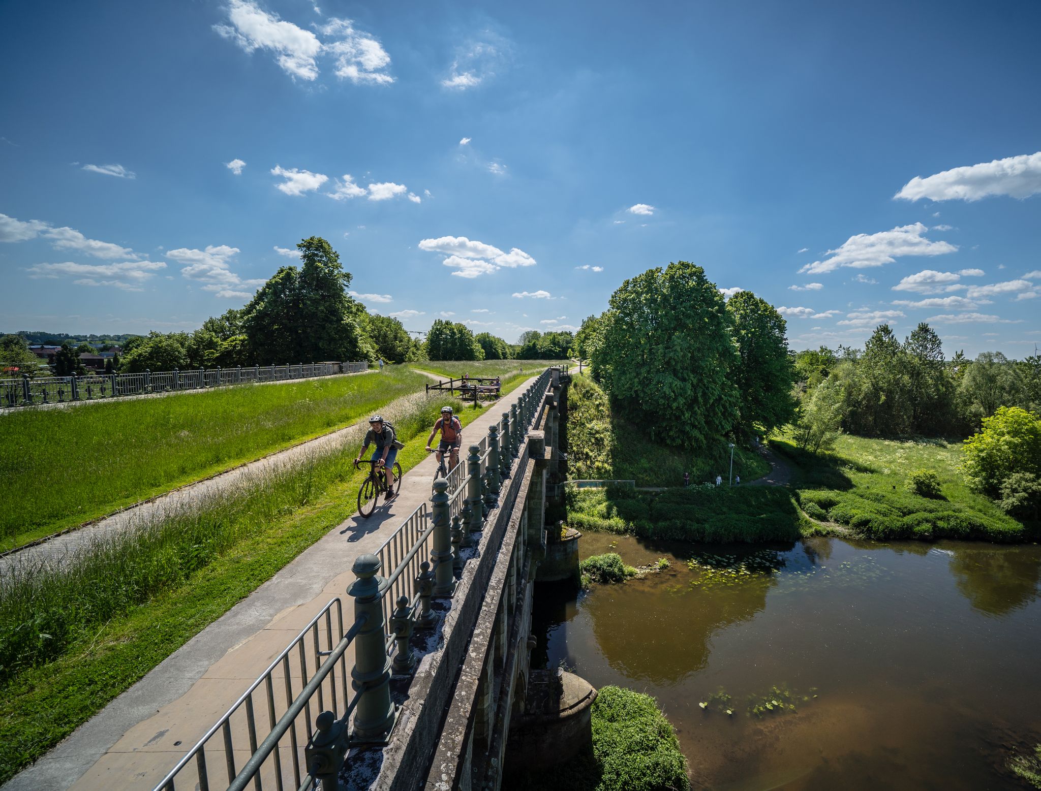
Germany’s Hohe Mark cycle route – escape into nature
Other adventures around Hamminkeln


Tips from the Community

In 1571, it is noted that Ringenberg became Protestant. The parish no longer belonged to the Catholic parish of Dingden, but was oriented towards Hamminkeln, which was also Protestant. But what did that mean back then? Consequently, disputes repeatedly arose over who owned the church: the (Hamminkeln) Lutherans or the (Ringenberg) Reformed? In 1648, the Elector of Brandenburg (the Counts of Kleve had already been extinct for half a century) decreed that the church should serve both (Protestant) parties for worship. In the same year, 1648, he also enfeoffed one of his officers and comrades-in-arms from the Thirty Years' War with the lordship of Ringenberg. From then on, the von Spaen family (pronounced Spahn, not Spän) ruled there and had to set about rebuilding. For the village, castle, and church had been destroyed by the war, and the parsonage had burned down. In 1661, the castle was expanded into a Baroque palace. In the rebuilt church, a burial chamber was created under the choir for family members. A tomb slab from this period is still preserved (stands in the tower), and the saber under the organ also comes from the possessions of the von Spaen family. In the time of "Old Fritz", a new church was built, consecrated in 1754; the old one threatened to collapse and was demolished. According to the taste of the time and the plans of the architect Vierevandt from Arnhem, the church consists of an 8-sided brick building in the Dutch Baroque style, initially still without a tower. In 1907, a comprehensive renovation of the church took place, and only then was the 3-story tower with a Baroque "Schweifhaube" (curved hood) added. In 1933, the "Luther Oak" was planted in the square in front of the church to commemorate the 450th birthday of Martin Luther. In 1945, the church was largely destroyed. The burial vault and the wooden epitaphs (memorial tablets) of the von Spaen family were irretrievably lost. After the war, the architect Grütjen from Hamminkeln led the reconstruction; the church was reconsecrated in 1950. The then pastor Steinbach also ensured that displaced persons were settled on church grounds. Source: Evangelische Kirchengemeinde An Issel und Rhein
0
0

Idyllic parking lot, but unfortunately, everything of interest around it is fenced off. There's still potential here.
0
0
Although the bench is now in a state of disrepair, the view into the gorged Stapelbach valley is still worth it.
0
0


The Issel rises in Raesfeld in Westphalia and flows into the Ijsselmeer in the Netherlands. It served as a border for the Romans and the Franks, and its course gave rise to border disputes between the Duchy of Cleves and the Archbishopric of Münster. The town of Ringenberg was founded in 1329 after Dutch settlers had drained the Isselbruch and reclaimed it. The castle that stands today is largely the same as a 17th century structure, but dates back to a castle from the 13th century.
0
0
"The Protestant church in Ringenberg was built in the second half of the 18th century according to plans by the Dutch architect Vierevandt from Arnhem and consecrated in 1754. It consists of an elongated octagonal brick building and a 3-storey tower in the simple Dutch Baroque style. The tower has a tail cap on an octagon. The church dates back to a castle chapel mentioned as early as the 14th century. As early as 1571, the originally Catholic church was transferred to the Evangelical Lutheran community. The building was destroyed in the Thirty Years' War. The direct predecessor building was built from 1660/1661 and was so dilapidated in the 18th century that it had to be demolished. In 1907 and 1908, the church building from 1754 was extensively renovated and restored. The war damage at the end of the Second World War required the restoration of the coved framed mirror ceiling. However, the epitaphs in memory of the family members of the former lords of the castle, von Spaen, were irretrievably lost. Only a marble slab from 1768 in memory of Alexander Sweder von Spaen remained." https://www.hamminkeln.de/de/inhalt/evangelische-kirche-ringenberg/
0
0

Water buffalo are very peaceful and undemanding animals. Here they are used as "landscape caretakers" and ensure that, for example, the ponds and areas in the heath are kept clear and they thus limit the growth of reeds and woody plants. This means that these areas can be used by other animal species, such as frogs, toads and dragonflies, which in turn provide food for birds, such as storks. These areas also provide breeding or resting places for rare bird species, such as curlews and snipes. The water buffalo on this pasture normally have their "residence" on the Kragemann buffalo farm in Barlo and are only here to "work".
1
0
Frequently Asked Questions
How many bus station hiking trails are available around Hamminkeln?
There are nearly 200 hiking trails around Hamminkeln that are easily accessible from bus stations. These routes offer a diverse range of experiences, from easy strolls to more moderate excursions through the region's varied landscapes.
What makes hiking around Hamminkeln's bus stations unique?
Hamminkeln, situated in the Lower Rhine region, offers a unique blend of flat, accessible terrain and diverse natural features like the Diersfordter Forest, moors, and the Rhine floodplains. The trails accessible from bus stations allow you to explore these 'herb-beautiful' landscapes without needing a car, connecting you directly to nature and local attractions.
What do other hikers say about the trails accessible from Hamminkeln's bus stations?
The trails around Hamminkeln are highly rated by the komoot community, with an average score of 4.6 stars. Hikers often praise the well-maintained paths, the peaceful natural surroundings, and the accessibility of these routes via public transport, making them a convenient choice for exploring the region.
Are there easy hiking trails accessible from bus stops in Hamminkeln?
Yes, the generally flat terrain of Hamminkeln makes many trails suitable for easy hikes. For example, the Trail Along the Mumbecker Stream – Mumbecker Brook Trail loop from Dingden is an easy 5.5 km route perfect for a relaxing walk. There are over 130 easy routes available, many starting conveniently from bus stations.
Are the bus station trails in Hamminkeln suitable for families with children?
Absolutely. Many of the trails are easy and pass through interesting natural areas, making them ideal for families. The flat landscape and well-marked paths ensure a pleasant experience for all ages. Consider routes that explore the Diersfordter Forest or the Mumbecker Brook for engaging natural experiences.
Can I find circular hiking routes starting directly from bus stops?
Yes, Hamminkeln offers a good selection of circular routes that can be accessed via bus. These loops allow you to start and end your hike at the same point, often near a bus stop, providing convenience for public transport users. An example is the Mumbecker Bach loop from Dingden, which offers a longer circular experience.
What natural attractions can I explore on hikes starting from Hamminkeln's bus stations?
Hikes from Hamminkeln's bus stations can lead you to several natural highlights. You can explore the unique Diersfordter Forest Moor Experience Trail, wander through the extensive meadows of the Bislicher Insel Nature Reserve known for its birdlife, or enjoy the serene landscapes of the Hohe Mark Nature Park.
Are there any specific trails that offer a unique natural experience, like a moor or wetlands?
Yes, the region is known for its diverse ecosystems. The Diersfordter Forest Moor Experience Trail, located within the Diersfordter Forest, features wooden planks guiding you through a unique moor landscape. Additionally, routes like the Mumbecker Brook Trail – Dingdener Heide Wetlands loop from Dingden offer insights into the local wetlands.
Can I find hikes near Hamminkeln bus stations that are dog-friendly?
Most hiking trails in Hamminkeln are dog-friendly, provided your dog is kept on a leash, especially in nature reserves or near wildlife. The flat and varied terrain offers plenty of opportunities for you and your canine companion to enjoy the outdoors together. Always remember to carry waste bags and respect local regulations.
Are there any routes accessible by bus that pass by lakes or the Rhine?
Yes, the region around Hamminkeln features both the Rhine River and several lakes. Some routes within the Hohe Mark Nature Park, which is accessible by bus, traverse areas with views of the Rhine floodplains. While specific bus-accessible routes directly along the Rhine promenade might vary, many trails offer glimpses of the river or lead to nearby lakes like the Xanten North Sea or Pröbsting Lake, though these might require a short additional walk or connection.
What is the best time of year to hike the bus station trails in Hamminkeln?
The trails around Hamminkeln are enjoyable year-round. Spring brings blooming nature, while summer offers lush greenery. Autumn is particularly beautiful with vibrant fall colors in the forests. Even in winter, the flat terrain makes for pleasant walks, especially through the Diersfordter Forest, though some paths might be muddy. Always check local weather conditions before heading out.
Are there opportunities for refreshments or pub stops along these bus-accessible routes?
While many routes focus on natural immersion, some trails may pass through or near small villages and towns where you can find local eateries or pubs for refreshments. It's always a good idea to check the route details on komoot beforehand to identify any potential stops along your chosen bus-accessible hike.
Most popular routes around Hamminkeln
Most popular attractions around Hamminkeln

Get inspired with the komoot mobile app


Explore more
Browse the best Hikes in other regions.
