The best hikes from bus stations around Aich
4.5
(11412)
62,659
hikers
10
hikes
Bus station hiking trails around Aich offer access to a diverse alpine landscape in Styria, Austria. The region is characterized by mountainous terrain, including parts of the Dachstein range, with notable peaks and valleys. Hikers can expect varied elevations, from lower-lying areas near lakes and waterfalls to higher mountain summits. The trails often traverse forests, open alpine meadows, and rocky ridges, providing a range of natural features for exploration.
Best bus station hiking trails around Aich
- The most popular bus…
Last updated: May 15, 2026
4.8
(20)
83
hikers
9.58km
03:32
530m
530m
Hard hike. Good fitness required. Sure-footedness, sturdy shoes and alpine experience required.
4.8
(364)
2,237
hikers
Easy hike. Great for any fitness level. Easily-accessible paths. Suitable for all skill levels.

Sign up for free
4.9
(11)
75
hikers
16.2km
06:59
1,250m
1,250m
Hard hike. Very good fitness required. Mostly accessible paths. Sure-footedness required.
5.0
(3)
27
hikers
8.86km
03:31
530m
530m
Hard hike. Good fitness required. Sure-footedness, sturdy shoes and alpine experience required.
4.0
(2)
16
hikers
Hard hike. Very good fitness required. Mostly accessible paths. Sure-footedness required.
Get access to more routes and recommendations from other explorers.
Sign up for free
Already have an account?
Our route recommendations are based on thousands of hikes, rides, and runs completed by other people on komoot.
Start today with a free account
Your next adventure awaits.
Login or Signup
Popular around Aich
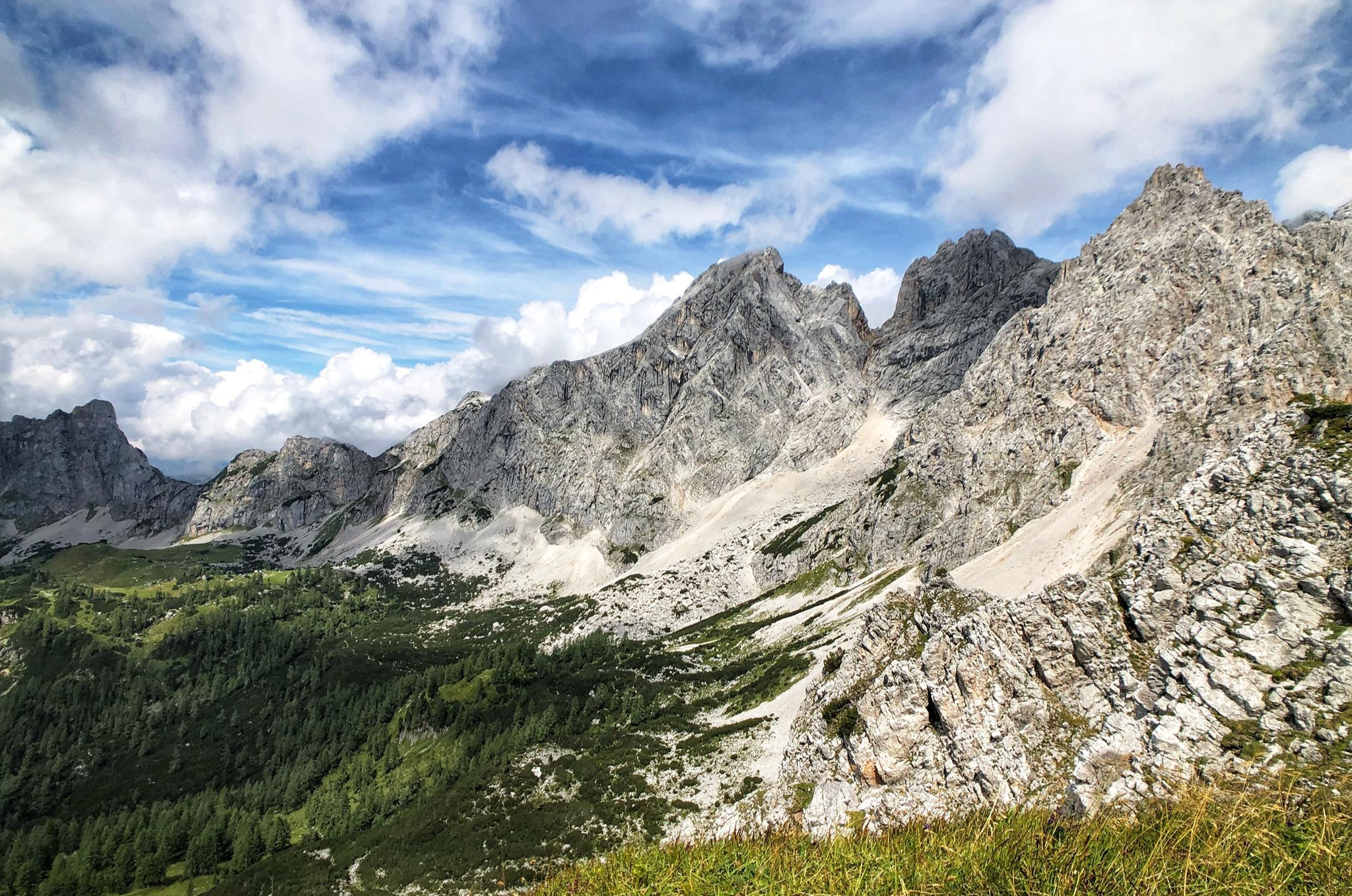
The Dachstein Rundwanderweg – Eight days in the Dachsteingebirge
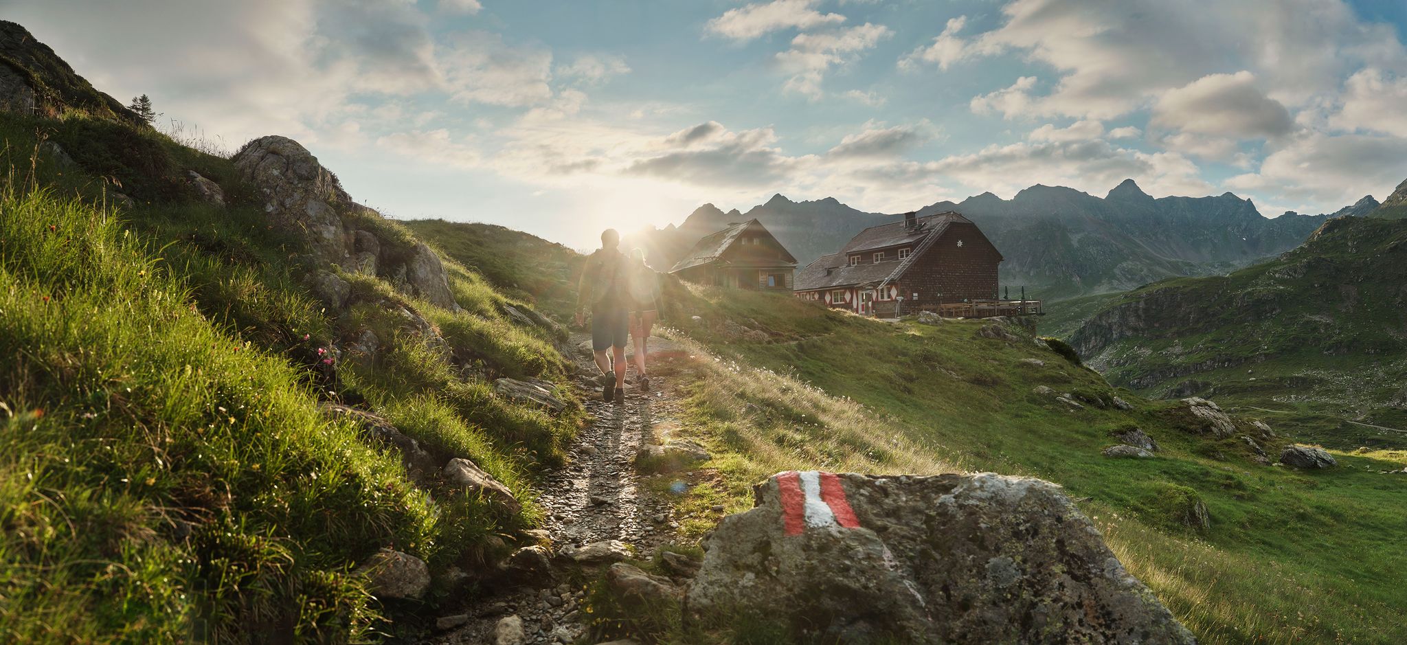
Escape to the mountains and enjoy the peaks in the Schladminger Tauern
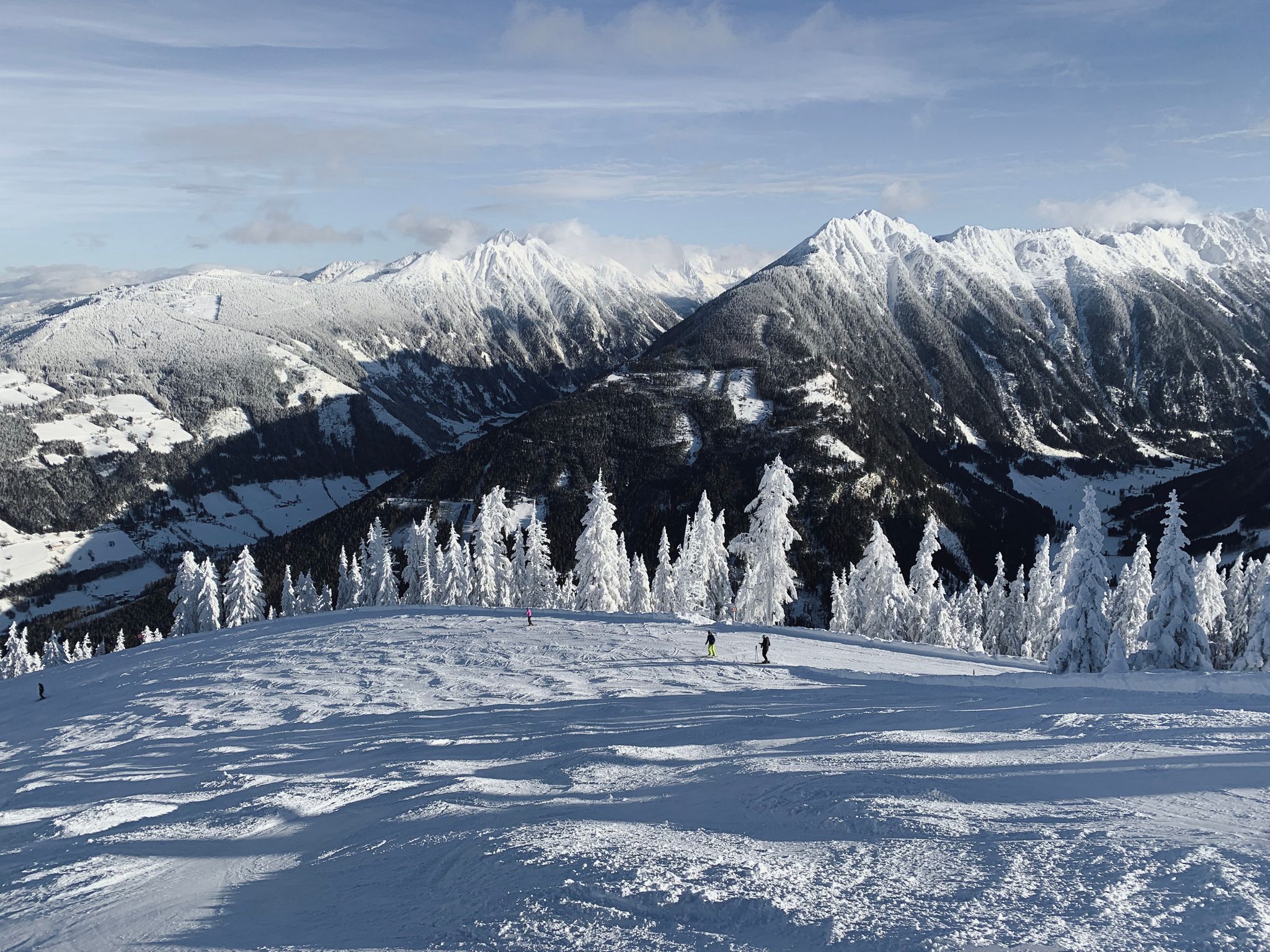
Cross-country in Schladming-Dachstein in Austria – 6 snowshoe Tours
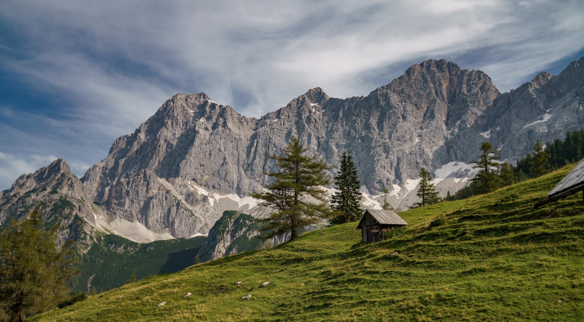
Dachstein hiking tour – 8 days in UNESCO World Heritage mountains

Discover Styria in Austria on foot – ‘From Glacier to Wine’ North Route
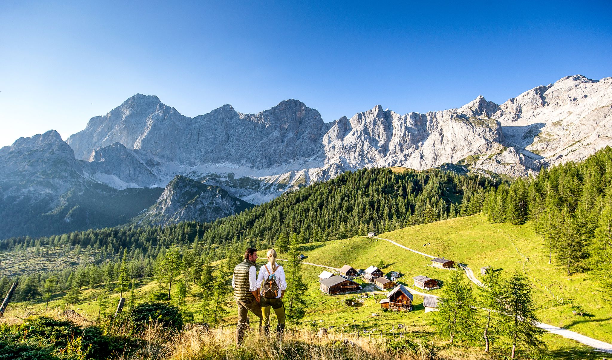
Endless hiking experiences in Styria

Für Trail-Liebhaber: Deine Bikepark Collection
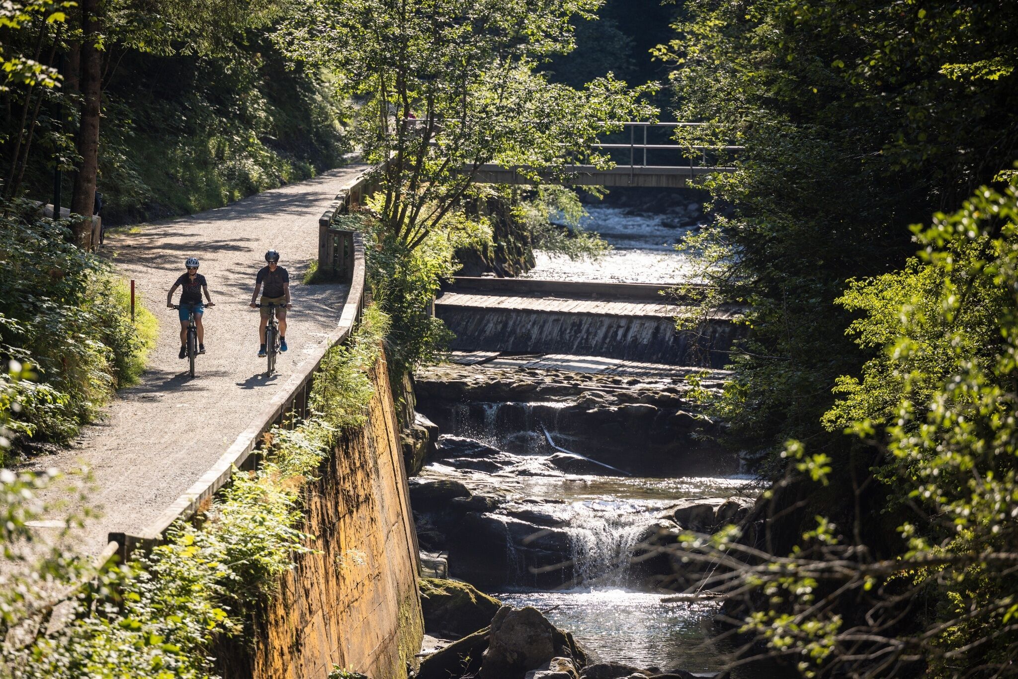
Experience mountain biking in Schladming-Dachstein — top routes from our bike hotels
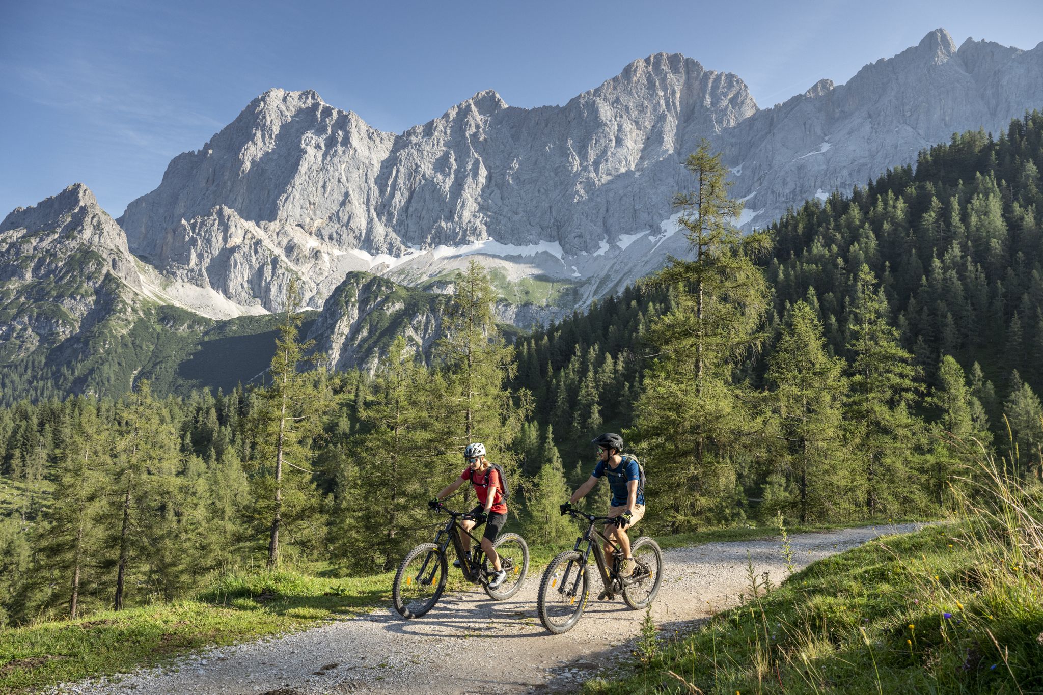
Biking with Dachstein views — top routes from our bike hotels
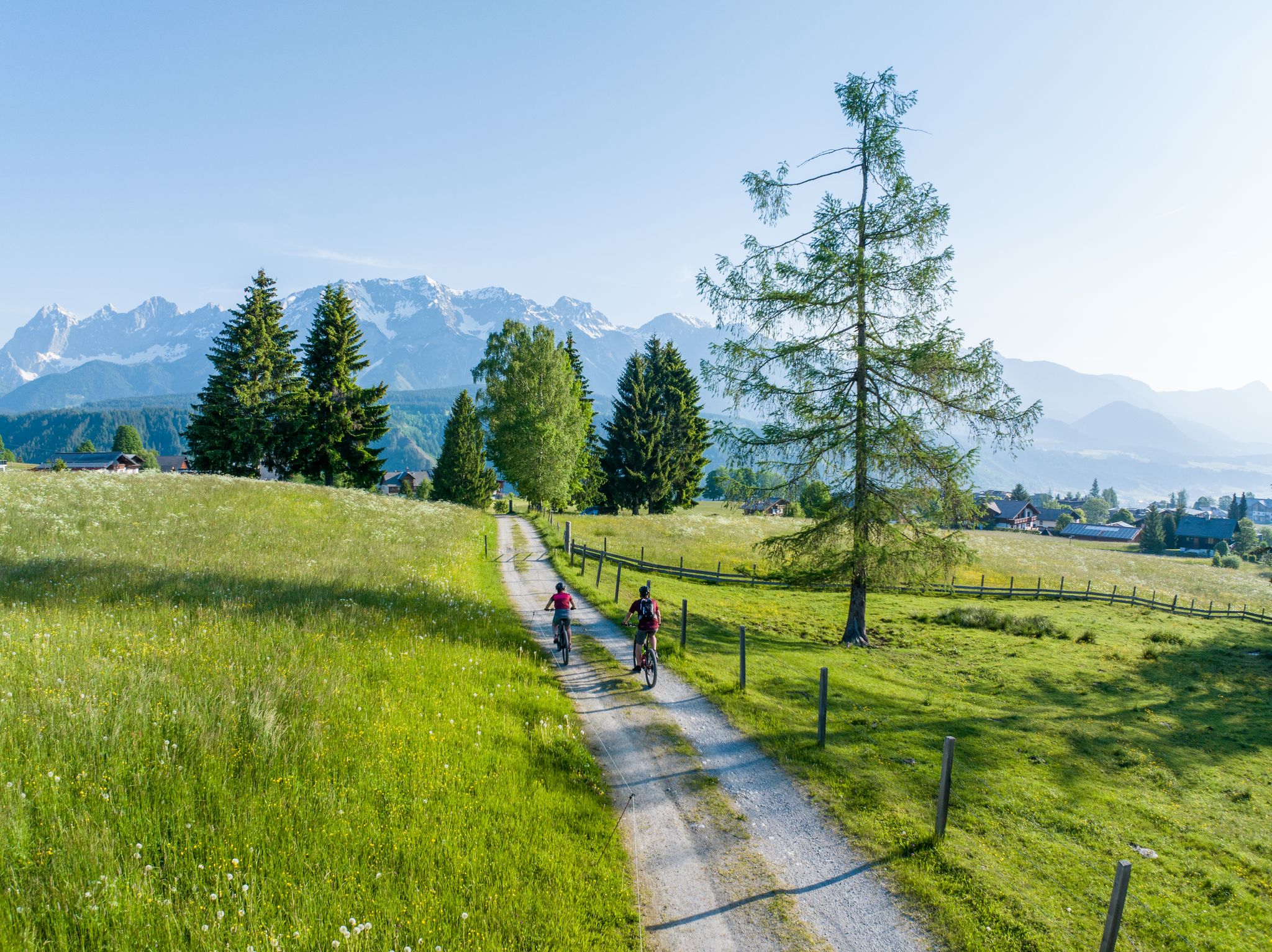
Traumtouren in Schladming-Dachstein – Empfehlungen unserer Bikehotels
Other adventures around Aich


Tips from the Community

A great parking lot for beautiful hikes, but Lake Gosau is somewhere else. There must have been a mistake.
0
0

For those who like a thrill, the suspension bridge is ideal. :)
1
0

The via ferrata is insane. Only for the brave with equipment
2
1

From Assach, the ascent is very comfortable up to the Assacher Scharte, followed immediately by a steep, rope-secured section. The summit ridge continues relatively flat, and shortly before the summit, there's another rope-secured section. Overall, every potentially dangerous and exposed section is well secured with ropes and footholds.
0
0

There is still some snow in March. Sturdy shoes are recommended.
0
0

When descending from the Stoderzinken you have a breathtaking view of the Dachstein Mountains.
0
0

At the end you will be rewarded with a magnificent view.
1
0

Food was great. Prices were reasonable. Service was friendly and quick.
0
0
Frequently Asked Questions
How many bus station hiking trails are available around Aich?
There are 10 bus-accessible hiking routes around Aich featured in this guide. These trails offer a range of experiences, from moderate loops to more challenging mountain ascents, all starting conveniently from a bus station.
What kind of terrain can I expect on bus-accessible hikes in the Aich region?
The Aich region, nestled in Styria, offers diverse terrain for bus-accessible hikes. You can expect mountainous paths, forested sections, and trails leading to scenic lakes and waterfalls. Some routes, like the Freienstein circuit via Kunagrün, involve significant elevation gain, while others, such as the Bodensee waterfall loop, are gentler and follow picturesque lake shores.
Are there any easy bus-accessible hiking trails suitable for beginners in Aich?
Yes, there are 3 easy bus-accessible routes around Aich. These trails are generally shorter with less elevation gain, making them ideal for beginners or those looking for a relaxed walk. For example, the Bodensee waterfall – Styrian Bodensee loop is a moderate option that is relatively flat and offers beautiful scenery.
What are some natural features or landmarks I can see along bus-accessible trails near Aich?
Many bus-accessible trails in the Aich region lead to stunning natural features and landmarks. You can discover impressive waterfalls like the Talbach Waterfall or the waterfall on the Bodensee loop. The region also boasts beautiful lakes such as the Styrian Bodensee and Riesachsee. For panoramic views, consider routes that lead to summits like the Stoderzinken summit cross.
Are there any circular bus-accessible routes in Aich?
Yes, several bus-accessible routes around Aich are circular, allowing you to start and end at the same bus station without needing to arrange a return trip. Examples include the challenging Freienstein circuit via Kunagrün and the Freienstein Summit Cross loop.
What do other hikers enjoy most about bus-accessible hiking in Aich?
The bus-accessible hiking trails around Aich are highly rated by the komoot community, with an average score of 4.5 stars from over 11,000 ratings. Hikers often praise the stunning mountain scenery, the well-maintained paths, and the convenience of reaching trailheads via public transport, allowing for car-free adventures into nature.
Are there any mountain huts or places to eat along the bus-accessible trails?
Yes, some trails offer opportunities to stop at mountain huts or restaurants. For instance, the Seewigtal Inn – Pleschmitzalm loop passes by the Seewigtal Inn. You can also find the Silberkar Hut and Guttenberghaus Mountain Hut near some of the more challenging routes, offering refreshments and sometimes accommodation.
What is the best season for bus-accessible hiking in Aich?
The Aich region is beautiful throughout the year, but spring and autumn are often recommended for hiking. Spring brings fresh greenery and wildflowers, while autumn offers vibrant foliage. Summer can be pleasant, especially on trails that offer shade or lead to cooler spots like gorges or waterfalls. Winter hiking is also possible, but requires appropriate gear and checking for trail conditions and closures due to snow.
Are there any challenging bus-accessible hikes for experienced hikers?
Absolutely. The Aich region offers 6 difficult bus-accessible routes for experienced hikers. These trails often feature significant elevation gains and rugged terrain. Examples include the demanding Stoderzinken summit cross – Stoderzinken Summit Trail loop, which involves over 1200 meters of ascent, and the Seewigtal Inn – Pleschmitzalm loop.
Can I find trails that lead to scenic viewpoints or panoramic vistas?
Many bus-accessible trails in Aich offer rewarding scenic viewpoints. Routes leading to summits, such as the Stoderzinken Summit Trail, provide expansive panoramic views of the Dachstein mountains and surrounding valleys. Even some moderate trails offer beautiful vistas over lakes and forests.
Most popular routes around Aich
Most popular attractions around Aich

Get inspired with the komoot mobile app


Explore more
Browse the best Hikes in other regions.
