The best hikes from bus stations around Roßleithen
4.5
(5153)
38,182
hikers
15
hikes
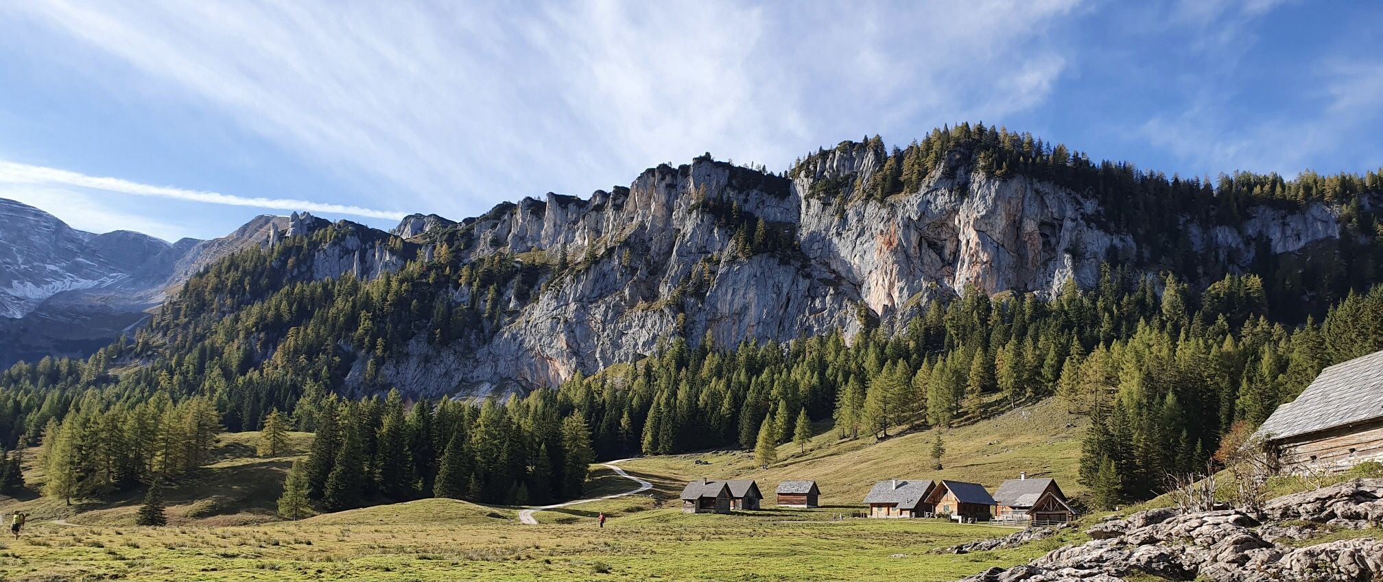
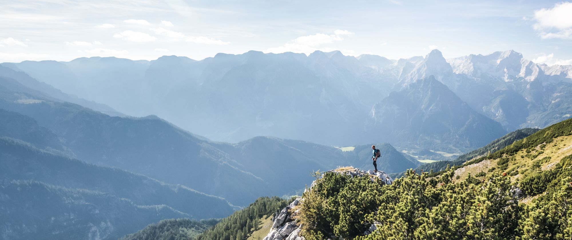
Bus station hiking trails around Roßleithen offer access to a diverse landscape in the Garstner valley, at the foot of the Sengsen Mountains. The region features impressive mountain backdrops, including the Sengsen Mountains and the Warscheneck group, with peaks like the Great Pyhrgas. Terrain varies from dense forests and green alpine meadows to karstic formations, with many routes following rivers and streams. Roßleithen is also one of eight municipalities bordering the Kalkalpen National Park, preserving pristine forests and diverse ecosystems.
…Last updated: June 27, 2026
4.6
(5)
32
hikers
Moderate hike. Good fitness required. Mostly accessible paths. Sure-footedness required.
3.3
(3)
31
hikers
4.94km
01:26
130m
130m
Easy hike. Great for any fitness level. Easily-accessible paths. Suitable for all skill levels.

Sign up for free
4.7
(7)
56
hikers
Moderate hike. Good fitness required. Easily-accessible paths. Suitable for all skill levels.
2.0
(2)
10
hikers
12.7km
05:46
910m
910m
Hard hike. Very good fitness required. Mostly accessible paths. Sure-footedness required.
5.0
(2)
6
hikers
12.0km
03:29
300m
300m
Moderate hike. Good fitness required. Easily-accessible paths. Suitable for all skill levels.
Get access to more routes and recommendations from other explorers.
Sign up for free
Already have an account?
Our route recommendations are based on thousands of hikes, rides, and runs completed by other people on komoot.
Start today with a free account
Your next adventure awaits.
Login or Signup


Tips from the Community

Cozy beer garden and great food selection!
0
0


One of the most beautiful trails in the hiking region! Winding idyllically through forests, pastures, and waterways, the trail offers plenty of variety and views.
0
0

According to the notice board: Open every Monday from 10 a.m. to 12 p.m. from June to September. For special tours, please call 07562-7488.
0
0
Impressive company premises with history, educational trail, and solar and hydroelectric power plants.
0
0
Definitely worth a visit! A lovingly restored relic with informative information panels on the building. A detour just a few meters from the hiking trail to the source of the Prießling stream.
0
0
Fantastic stop with a delicious menu, a beautiful beer garden under umbrellas, and an entertaining game and mountain panorama!
1
0

Easy hiking trail, no special experience needed ;-) nice walk 😊
0
0
Frequently Asked Questions
How many bus-accessible hiking trails are there around Roßleithen?
There are 15 hiking trails around Roßleithen that are easily accessible from bus stations. These routes cater to various fitness levels, including 3 easy, 10 moderate, and 2 difficult options.
Are there any easy, family-friendly hikes from Roßleithen bus stops?
Yes, for an easy and family-friendly option, consider the Gasthof zum Dragschmund – Gleinkersee Forest Trail loop from Roßleithen. This 5 km route takes about 1 hour and 25 minutes, offering a pleasant walk around the tranquil Gleinkersee lake. The region also features the 'Hiking Trail to the Vulture Wall,' which is suitable for families and includes a climbing park and adventure playground.
Which bus-accessible trails offer scenic viewpoints or natural attractions?
Many trails offer stunning views and natural features. The Pießling Spring (karst spring) – Pießling Stream and Waterfall loop from Roßleithen takes you to the impressive Pießling Spring, one of the largest karst springs in the Eastern Alps. For panoramic vistas, the Wurbauerkogel Panorama Tower, accessible via routes like the Wurbauerkogel Circular Trail, provides expansive views of the surrounding mountains.
Can I find circular hiking routes starting from Roßleithen bus stops?
Absolutely. Many of the bus-accessible routes are circular, allowing you to return to your starting point without retracing your steps. Examples include the Pießling Spring loop and the Gleinkersee Forest Trail loop. These are ideal for experiencing diverse landscapes on a single outing.
What is the best time of year to go hiking from bus stations in Roßleithen?
The best seasons for hiking in Roßleithen are spring, summer, and autumn. Spring offers blooming meadows, summer provides stable weather for longer excursions, and autumn showcases a vibrant display of colors. While some trails might be accessible in winter, many mountain paths can be challenging due to snow and ice.
Are there any challenging bus-accessible hikes for experienced hikers?
Yes, for experienced hikers seeking a challenge, the region offers more demanding routes. The View of Lake Gleinkersee – Gleinker Lake loop from Roßleithen is a difficult 12.7 km trail with significant elevation gain, leading to rewarding views. More challenging mountaineering routes in the broader region also lead to peaks like the Hoher Nock and huts such as the Dümler Hut and Zeller Hut.
What kind of natural landmarks can I explore along these trails?
Roßleithen is rich in natural landmarks. You can visit the impressive Pießling Spring (karst spring), explore the tranquil Schiederweiher lake, or enjoy the picturesque setting of Gleinkersee. The region is also part of the Kalkalpen National Park, offering pristine forests and diverse ecosystems.
What do other hikers say about the bus-accessible trails in Roßleithen?
The bus-accessible trails in Roßleithen are highly rated by the komoot community, with an average score of 4.58 out of 5 stars from over 5,000 ratings. Reviewers often praise the diverse landscapes, from dense forests to alpine meadows, and the well-maintained paths that lead to stunning natural features like the Pießling Spring and Gleinkersee.
Are there any trails that feature waterfalls or significant water bodies?
Yes, the Pießling Spring (karst spring) – Pießling Stream and Waterfall loop from Roßleithen is an excellent choice. This route directly features the Pießling Stream and its thundering waterfall, fed by the powerful Pießling Spring. The tranquil Gleinkersee lake is also a prominent water feature, accessible via routes like the Gleinkersee Forest Trail loop.
Can I bring my dog on the bus-accessible hiking trails in Roßleithen?
Most hiking trails in Roßleithen are dog-friendly, but it's always advisable to keep your dog on a leash, especially in nature protection areas and near livestock. The diverse terrain, from forest paths to open meadows, offers plenty of opportunities for you and your canine companion to enjoy the outdoors. Always check local regulations for specific trails.
Are there any historical or themed trails accessible by bus?
Yes, the region offers unique themed trails. The 'Roßleithner Sensenthemenwege' (scythe-themed hiking trails) delve into Roßleithen's historical connection to scythe production. These paths offer insights into this traditional craft and are marked with colorful small scythes, providing a cultural dimension to your hike.
Most popular routes around Roßleithen
Most popular attractions around Roßleithen

Get inspired with the komoot mobile app


Explore more
Browse the best Hikes in other regions.
