The best hikes from bus stations around Gaflenz
4.6
(1534)
11,445
hikers
9
hikes
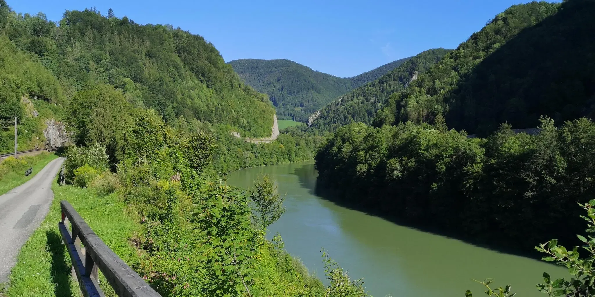
Bus station hiking trails around Gaflenz offer a diverse landscape for outdoor exploration, characterized by varied topography ranging from gentle hills to mountain peaks. Over 60% of the region is covered in forest, providing a serene environment with clear streams. Elevations in Gaflenz range between approximately 776 meters and 1103 meters above sea level, offering a mix of ascents and scenic views. The area features a well-maintained network of paths suitable for different hiking preferences.
Best bus station hiking trails…
Last updated: June 27, 2026
5.0
(7)
112
hikers
Moderate hike. Good fitness required. Easily-accessible paths. Suitable for all skill levels.
4.6
(5)
23
hikers
19.0km
06:09
790m
790m
Hard hike. Very good fitness required. Easily-accessible paths. Suitable for all skill levels.

Sign up for free
9
hikers
8.66km
02:22
130m
130m
Moderate hike. Good fitness required. Easily-accessible paths. Suitable for all skill levels.
8
hikers
9.81km
02:46
210m
210m
Moderate hike. Good fitness required. Easily-accessible paths. Suitable for all skill levels.
7
hikers
6.90km
01:48
40m
40m
Easy hike. Great for any fitness level. Easily-accessible paths. Suitable for all skill levels.
Get access to more routes and recommendations from other explorers.
Sign up for free
Already have an account?
Our route recommendations are based on thousands of hikes, rides, and runs completed by other people on komoot.
Start today with a free account
Your next adventure awaits.
Login or Signup
Popular around Gaflenz
Other adventures around Gaflenz

Tips from the Community


There is a bench on this summit - beautiful view
0
0
Please check the opening hours before your visit.
0
0
Beautiful frescoes make the chapel worth visiting.
0
0
Beautiful pilgrimage church, unfortunately closed in winter
0
0

In March you have to bring your own food with you because the hut doesn't open until April.
1
0

The late Gothic pilgrimage church of St. Sebald stands on the Heiligenstein, which was used as a place of worship from early on. A small rock cave and a spring are located a little below the church. According to legend, Sebald was a miracle-working hermit who lived in a small cave for a long time on his journey from Rome to Nuremberg. The trade relations between the ironsmith town of Weyer and the German city of Nuremberg, where Sebald is buried, may have been crucial for the emergence of the Sebald cult at Heiligenstein. The church building dates from the second half of the 15th century; the bell tower was added in 1665 and acquired its current appearance in 1733. A little later, the baroque Sebaldi Chapel with the grotto was built.
1
0
Colorful baroque facades decorate Weyer's long market square. There are many restaurants, cafes and shops here. The Egerer Schlössl is also located in the center of the market town.
1
0
Frequently Asked Questions
How many bus-accessible hiking trails are available around Gaflenz?
This guide features 9 carefully selected hiking trails that are easily accessible from various bus stops around Gaflenz. These routes offer a convenient way to explore the region's diverse landscapes without needing a car.
What kind of landscapes can I expect on these bus-accessible hikes?
The trails around Gaflenz traverse a varied topography, from gentle hills to more challenging mountain paths. You'll experience serene forests, clear streams, and open sections with panoramic views. Over 60% of Gaflenz is forested, ensuring a refreshing natural environment.
Are there easy hiking options available from bus stations?
Yes, there are 2 easy routes suitable for beginners or those looking for a relaxed stroll. These paths often follow well-kept meadow trails or comfortable forest tracks, providing pleasant views without significant ascents.
Are there any challenging routes for experienced hikers?
Absolutely. For experienced hikers, there are 2 difficult routes. One such challenging option is the St. Sebaldus Grotto and Chapel – Weyer town centre loop from Neudorf, which covers nearly 19 km with significant elevation gain, offering a rewarding experience.
Can I find circular routes that start and end at a bus stop?
Many of the routes in this guide are circular, allowing you to return to your starting point without retracing your steps. For example, the Amstettner Hut – Hirschkogel Summit Cross loop from Oberland Abzweigung Forsteralm is a moderate circular hike that takes you through varied terrain to a prominent summit.
What notable landmarks or viewpoints can I discover along these trails?
Several routes lead to significant viewpoints and attractions. You can hike to the Lindaumauer Summit for spectacular views across the Danube Valley, or explore the area around Heiligenstein, which features the pilgrimage church of St. Sebald. The St. Sebaldus Grotto and Chapel – Weyer town centre loop from Weyer is another route that takes you past historical and natural points of interest.
Are there family-friendly hiking trails accessible by bus?
Gaflenz is known for its family-friendly options. While specific routes in this guide are not explicitly labeled as 'family-friendly,' the region offers trails like the 'Zwergerlweg' and a fun puzzle trail designed for children. Look for easier, shorter routes like the MFI Neudorf Model Airfield loop from Weyer, which is moderate in difficulty but shorter in duration, making it potentially suitable for families.
What is the best time of year to hike around Gaflenz?
The best seasons for hiking in Gaflenz are spring and autumn. During these times, the natural scenery is particularly vibrant, and the climate is mild and pleasant for outdoor activities. Even in summer, the shady forests and clear streams offer a refreshing experience.
Are dogs allowed on the hiking trails?
Generally, dogs are welcome on hiking trails in Gaflenz. However, it's always recommended to keep them on a leash, especially in forested areas, near wildlife, or when passing through pastures with livestock. Please ensure you carry water for your dog and clean up after them.
What do other hikers enjoy most about the trails in Gaflenz?
The area is highly rated by the komoot community, with an average score of 4.5 stars from over 1400 ratings. Reviewers often praise the well-maintained trail network, the diverse landscapes, and the rewarding panoramic views from summits like Hirschkogel and Lindaumauer.
Are there any routes that offer views of the Hirschkogel Summit Cross?
Yes, the Amstettner Hut – Hirschkogel Summit Cross loop from Oberland Abzweigung Forsteralm is a moderate hike that specifically takes you to the Hirschkogel Summit Cross, offering rewarding views along the way and from the summit.
Most popular routes around Gaflenz
Most popular attractions around Gaflenz

Get inspired with the komoot mobile app


Explore more
Browse the best Hikes in other regions.
