The best hikes from bus stations around Raxendorf
4.6
(2530)
14,213
hikers
216
hikes
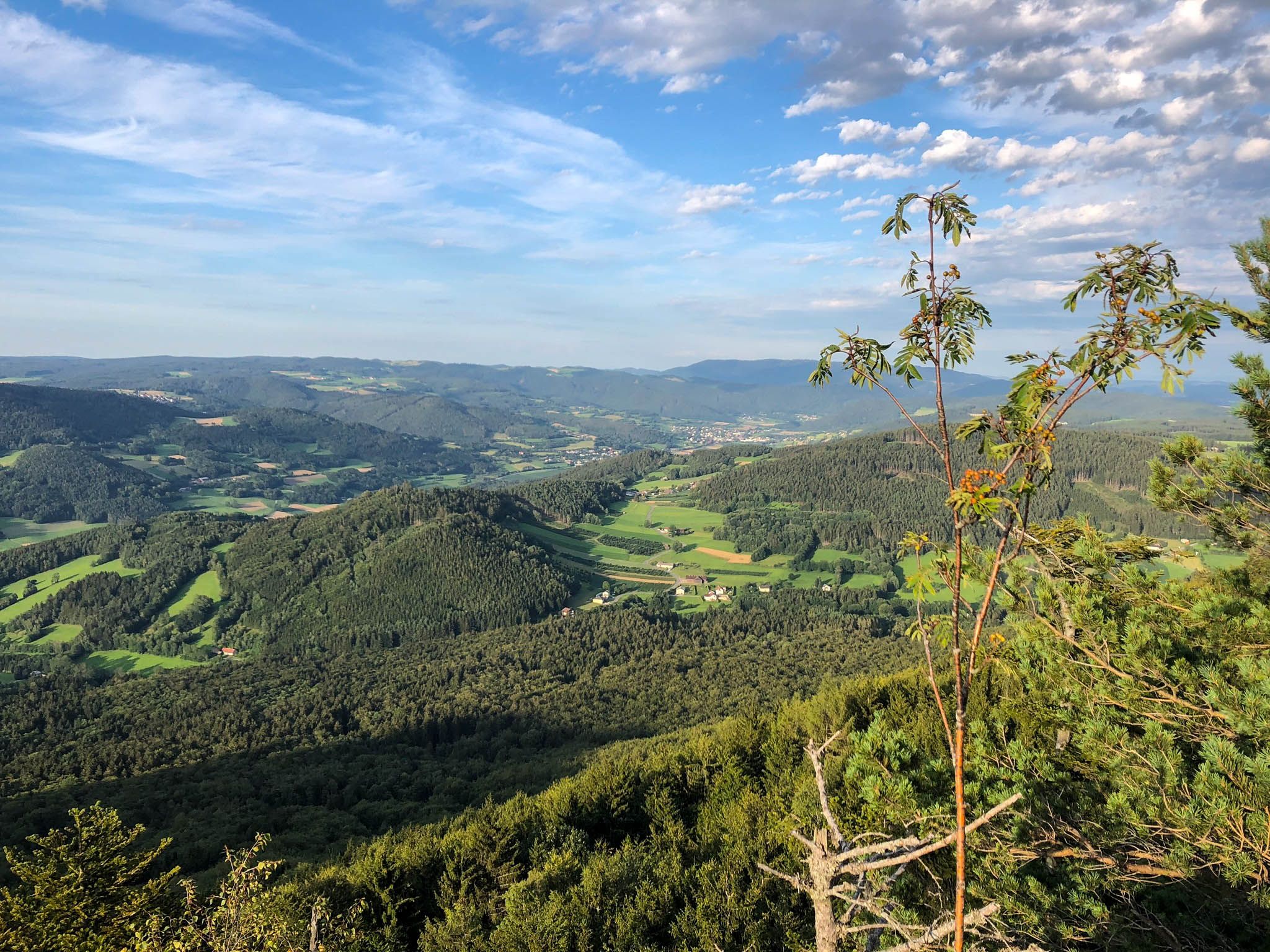
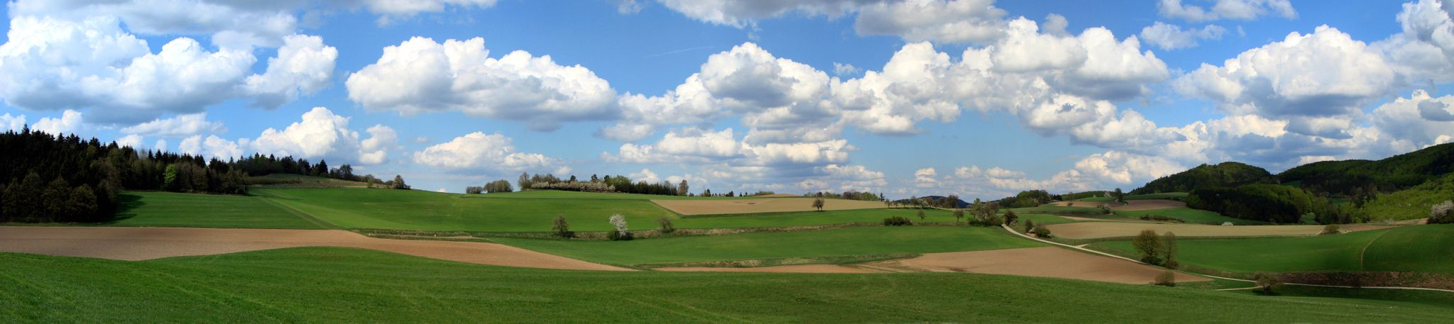
Bus station hiking trails around Raxendorf are situated in a region characterized by diverse hilly terrain, transitioning from the Waldviertel high plateau to the Danube valley. The landscape features undulating meadows and dense forests, with altitudes ranging from 450 to 850 meters above sea level. The Jauerling mountain, at 960 meters, is a prominent natural feature, offering elevated views. This area provides varied scenery for outdoor activities.
Best bus station hiking trails around Raxendorf
- The most popular bus station hiking…
Last updated: May 14, 2026
4.6
(9)
35
hikers
12.0km
03:47
480m
480m
Moderate hike. Good fitness required. Easily-accessible paths. Suitable for all skill levels.
4.4
(5)
13
hikers
9.69km
02:58
350m
350m
Moderate hike. Good fitness required. Easily-accessible paths. Suitable for all skill levels.

Sign up for free
2
hikers
6.15km
01:44
130m
140m
Easy hike. Great for any fitness level. Easily-accessible paths. Suitable for all skill levels.
2
hikers
6.98km
02:04
210m
210m
Moderate hike. Good fitness required. Easily-accessible paths. Suitable for all skill levels.
1
hikers
16.8km
04:52
440m
440m
Moderate hike. Good fitness required. Easily-accessible paths. Suitable for all skill levels.
Get access to more routes and recommendations from other explorers.
Sign up for free
Already have an account?
Our route recommendations are based on thousands of hikes, rides, and runs completed by other people on komoot.
Start today with a free account
Your next adventure awaits.
Login or Signup


Tips from the Community

Of course, the observation deck next to the transmitter is more interesting.
0
0
Flat summit with no view. But plenty to read.
0
0
lots of interesting information - start of the various paths on the Jauerling and the path to the Nature Park House
0
0

Unspectacular summit after a spectacular ascent.
0
0

Located at 778 meters. If you follow the official tours, you will have a long and tough climb up to this point. There is a very nice large rest area here where you can take a breather.
0
0

The educational trail consists of 10 diagrams that are set up along the path between the car park at the ski lift and the observation tower. Each individual image is extremely interesting in terms of content.
1
0
Further information about the observation tower is available at https://aussichtswarte-jauerling.jimdoweb.com/ (as of November 2, 2024). Of course, you should know that the subdomain *.jimdoweb.com indicates that the website was created by "complete" amateurs and is therefore usually poorly maintained. It is to be hoped that an exception proves the rule.
0
0

The Jauerling is of course a must for every ambitious cyclist! The climb from the south via the L7145 is not necessarily recommended in summer because there is little shade. It is better to approach from Gut am Steg or from Aggsbach Markt.
2
0
Frequently Asked Questions
How many bus-accessible hiking trails are available around Raxendorf?
There are over 200 hiking trails around Raxendorf that are accessible via bus stations. This includes a wide variety of routes, from easy strolls to more challenging ascents, ensuring options for all fitness levels.
What kind of terrain can I expect on hikes from Raxendorf bus stations?
Hikes from Raxendorf bus stations offer diverse terrain, transitioning from the Waldviertel plateau to the Danube valley. You'll encounter beautiful hilly landscapes, undulating meadows, and dense forests. The prominent Jauerling mountain, the highest elevation of the Wachau region, provides opportunities for more challenging routes with expansive views.
Are there easy hiking options accessible from Raxendorf bus stops?
Yes, Raxendorf offers plenty of easy hiking options accessible from bus stops. There are nearly 80 easy routes available, such as the Hiking loop from Raxendorf, which is just over 6 km long with minimal elevation gain, perfect for a relaxed outing.
What do other hikers say about the trails around Raxendorf?
The hiking trails around Raxendorf are highly rated by the komoot community, with an average score of 4.6 out of 5 stars from over 2,400 ratings. Hikers often praise the region's diverse landscapes, well-maintained paths, and the fresh alpine air, especially on routes leading towards the Jauerling.
Are there circular hiking routes that start and end at bus stations in Raxendorf?
Absolutely. Many routes in Raxendorf are designed as circular hikes, allowing you to start and finish at the same bus station. An example is the Raxendorf Municipal Office – Parish Church Raxendorf loop from Raxendorf, which offers a moderate 9.7 km journey through the local scenery.
Can I bring my dog on these bus-accessible hiking trails?
Generally, dogs are welcome on hiking trails around Raxendorf. However, it's always recommended to keep your dog on a leash, especially in forested areas, near wildlife, or when passing through villages. Be mindful of local regulations and ensure your dog has access to water, particularly on longer routes.
Are the bus-accessible hiking trails around Raxendorf suitable for families?
Yes, Raxendorf offers many family-friendly hiking trails accessible by bus. The region's blend of gentle hills and meadows provides pleasant walks for all ages. Look for the 'easy' rated tours, which are typically shorter and have less elevation, making them ideal for families. Some paths might not be suitable for strollers due to natural terrain.
What natural features or landmarks can I see on hikes from Raxendorf bus stations?
Hikes from Raxendorf bus stations can lead you to several interesting natural features and landmarks. You might encounter the majestic Jauerling mountain, offering panoramic views, or discover hidden gems like the Kaiser Cave. The area also features several picturesque bodies of water, such as the Upper Village Pond (Oberer Ortsteich) and Lake Edlesberger, perfect for a scenic break.
What is the best time of year to hike around Raxendorf?
The best time to hike around Raxendorf is typically from spring through autumn (April to October). During these months, the weather is generally mild and pleasant, and the landscapes are vibrant. Summer offers lush greenery, while autumn brings stunning fall foliage. Winter hiking is possible but requires appropriate gear and caution due to potential snow and ice.
Are there any longer, more challenging hikes accessible by bus?
Yes, for those seeking a greater challenge, Raxendorf offers several moderate to difficult hikes accessible from bus stations. An example is the Nonnersdorfer Kreuz – Jauerling Observation Tower loop from Zeining, a nearly 12 km route with significant elevation gain, offering rewarding views from the Jauerling Observation Tower.
Can I find places to eat or stay near the bus-accessible hiking trails?
Raxendorf and its surrounding villages offer local cafes, restaurants, and accommodation options. While specific establishments are not listed here, you'll find places to refuel and rest after your hike. It's advisable to check local listings or inquire at the Raxendorf Municipal Office for current options.
Most popular routes around Raxendorf
Most popular attractions around Raxendorf

Get inspired with the komoot mobile app


Explore more
Browse the best Hikes in other regions.
