The best hikes from bus stations around Maria Saal
4.6
(2536)
18,067
hikers
22
hikes
Bus station hiking trails around Maria Saal offer access to a diverse landscape in the district of Klagenfurt Land, Austria. The region is situated at the foot of the Karawanken mountain range, featuring varied terrain from secluded mixed forests to urban vineyards and historic sunken roads. Hikers can explore trails leading to local peaks like Ulrichsberg and Magdalensberg, providing panoramic views over Klagenfurt. The area's geography includes both gentle paths and more challenging mountainous sections.
Best bus station hiking trails…
Last updated: June 27, 2026
4.8
(36)
270
hikers
12.3km
03:46
450m
450m
Moderate hike. Good fitness required. Easily-accessible paths. Suitable for all skill levels.
4.6
(57)
365
hikers
7.57km
02:49
500m
500m
Moderate hike. Good fitness required. Easily-accessible paths. Suitable for all skill levels.

Sign up for free
4.3
(4)
34
hikers
4.82km
01:52
350m
350m
Moderate hike. Good fitness required. Easily-accessible paths. Suitable for all skill levels.
7
hikers
13.4km
04:46
750m
750m
Moderate hike. Good fitness required. Mostly accessible paths. Sure-footedness required.
4.0
(1)
21
hikers
9.60km
03:23
530m
530m
Moderate hike. Good fitness required. Easily-accessible paths. Suitable for all skill levels.
Get access to more routes and recommendations from other explorers.
Sign up for free
Already have an account?
Our route recommendations are based on thousands of hikes, rides, and runs completed by other people on komoot.
Start today with a free account
Your next adventure awaits.
Login or Signup
Popular around Maria Saal
Other adventures around Maria Saal

Tips from the Community

A really great view from up high!
1
0

Here you will find a beautiful wooden crucifix and a bench.
2
0
From this spot you have a view towards Klagenfurt and the Wörthersee. Enjoy it!
1
0


splendid
0
0
Cool walk
0
0

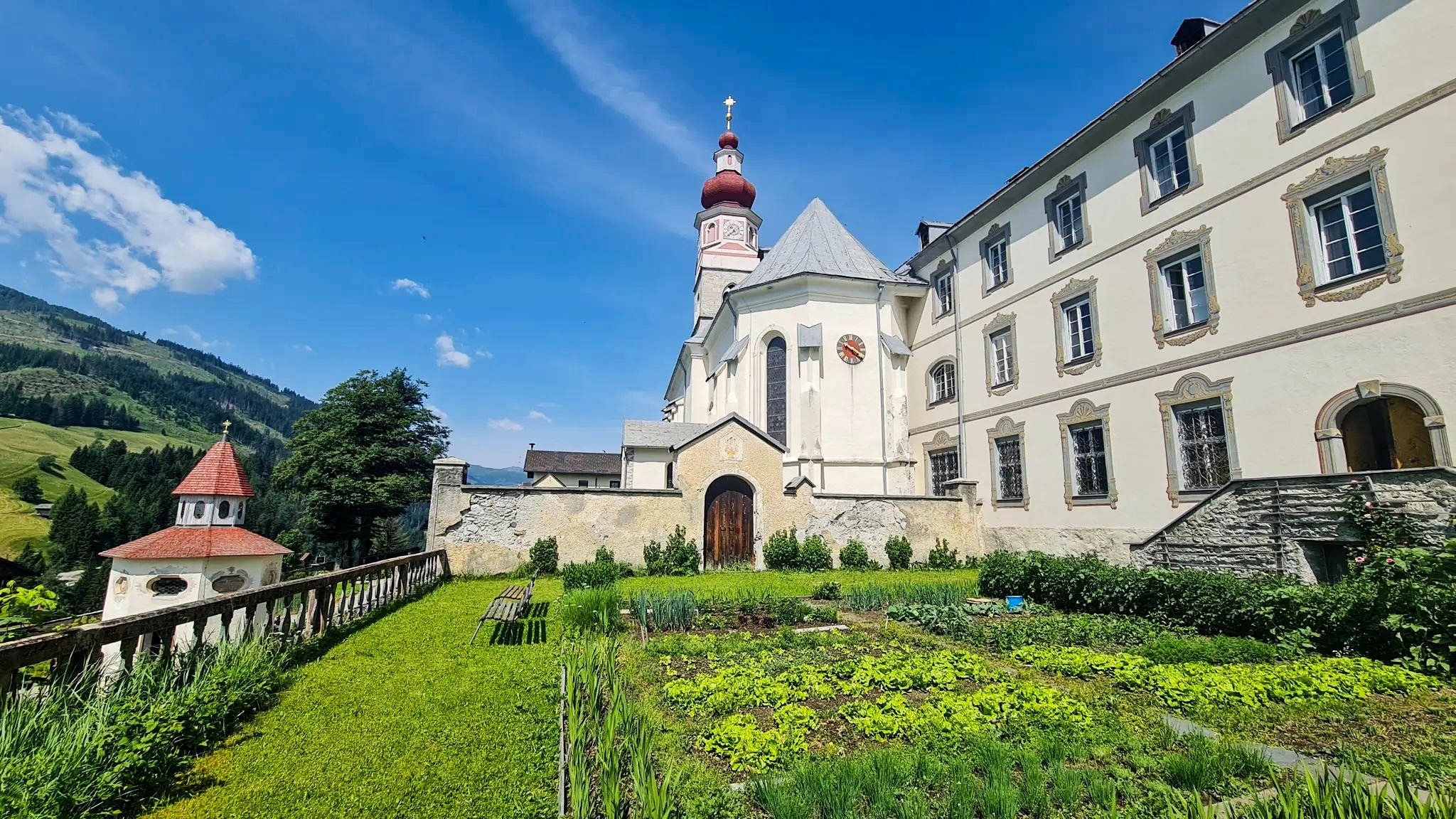
the church (St. Peter and Paul) was built around 888 and is considered the oldest Palatinate church in Europe
0
0

Ideal for a short rest and to enjoy the view.
1
0
Frequently Asked Questions
How many hiking trails accessible by bus are there around Maria Saal?
There are over 20 hiking trails around Maria Saal that are easily accessible by bus. These routes offer a range of experiences, with 8 easy, 13 moderate, and 1 difficult trail to choose from.
Are there any family-friendly hiking trails accessible by bus in Maria Saal?
Yes, Maria Saal offers several family-friendly routes accessible by bus. Many of the easy and moderate trails are suitable for families. For a moderate option, consider the Hiking loop from Dellach, which is around 7.4 km long and takes about 2 hours and 50 minutes.
Can I bring my dog on the bus-accessible hiking trails in Maria Saal?
Most hiking trails in the Maria Saal region are dog-friendly, but always ensure your dog is on a leash, especially in populated areas or near wildlife. Public transport rules for dogs can vary, so check with the local bus operator before your journey. A good option for a walk with your dog is the Hiking loop from Stegendorf, offering a moderate 6.5 km route.
What kind of landscapes and views can I expect on these bus-accessible hikes?
The bus-accessible hikes around Maria Saal offer diverse landscapes, from secluded mixed forests to urban vineyards and historic sunken roads. You can expect dreamlike panoramic views over Klagenfurt, especially from higher elevations like Ulrichsberg and Magdalensberg. The region's proximity to the Karawanken mountains also provides stunning backdrops.
Are there any circular routes starting from bus stops in Maria Saal?
Yes, many of the bus-accessible routes around Maria Saal are circular, allowing you to start and end at the same bus stop. Examples include the Hiking loop from Pörtschach am Berg, which is a moderate 12 km loop, or the View of the Valley – Rabenfels Summit Cross loop from Zollfeld for a more challenging, difficult option.
What are some notable landmarks or attractions I can see along the bus-accessible trails?
Several trails pass by or offer views of significant landmarks. The historic church-fortress of Maria Saal itself is a major highlight. You might also encounter castles like Meiselberg Castle or Hochkraig Castle. For panoramic views, look out for spots offering vistas of Lake Wörthersee or the Maria Loretto Peninsula.
What is the best time of year to go hiking from bus stations in Maria Saal?
The Maria Saal region is beautiful for hiking throughout much of the year. Spring and autumn offer pleasant temperatures and vibrant scenery, with autumn showcasing stunning foliage. Summer is also popular, though trails can be busier. Winter hikes are possible, especially on lower elevation routes, but always check weather conditions and trail accessibility.
Are there any challenging or difficult hikes accessible by bus in the Maria Saal area?
Yes, for experienced hikers seeking a challenge, there is at least one difficult route accessible by bus. The View of the Valley – Rabenfels Summit Cross loop from Zollfeld is a demanding 14.7 km hike with significant elevation gain, offering rewarding views from the Rabenfels Summit Cross.
What do other hikers enjoy most about the bus-accessible trails in Maria Saal?
The komoot community highly rates the trails around Maria Saal, with an average score of 4.58 stars. Hikers often praise the diverse landscapes, from tranquil forests to panoramic viewpoints over Klagenfurt and the Karawanken mountains. The accessibility by public transport and the variety of routes catering to different fitness levels are also frequently highlighted.
Are there any cafes or restaurants near the bus stations for hikers in Maria Saal?
Maria Saal and its surrounding villages offer various cafes and restaurants where you can refuel before or after your hike. Many bus stops are located within or close to village centers, providing convenient access to local eateries. The region is known for its hospitality, so you'll find options for refreshments and meals.
Are permits required for hiking on trails around Maria Saal?
Generally, no specific permits are required for hiking on the public trails around Maria Saal. However, always respect private property, follow local signage, and adhere to any regulations regarding nature protection areas. If you plan to visit specific archaeological sites or attractions, check their individual entry requirements.
How long do the bus-accessible hikes typically take in Maria Saal?
The duration of hikes varies significantly depending on the route's length and difficulty. Easy trails might take 1-2 hours, while moderate routes like the Rabenfels Summit Cross loop from Karnburg can take around 3 hours and 50 minutes for its 10.8 km. More difficult and longer trails can extend to 5 hours or more.
Most popular routes around Maria Saal
Most popular attractions around Maria Saal

Get inspired with the komoot mobile app


Explore more
Browse the best Hikes in other regions.
