The best hikes from bus stations around Breitenstein
4.6
(722)
3,659
hikers
28
hikes
Popular bus accessible hikes around Breitenstein offer diverse terrain in both the Bavarian Prealps and the Semmering region. This area is characterized by its alpine environment, including mountains like the 1,622-meter-high Breitenstein, and features like idyllic forests and impressive engineering structures. The landscape provides a mix of easy paths and more challenging routes, suitable for various fitness levels.
Best bus station hiking trails around Breitenstein
- The most popular bus station hiking route is Breitenstein and Speckbacherhütte - Rax Schneeberge,…
Last updated: September 30, 2026
4.4
(30)
94
hikers
5.56km
01:54
290m
290m
Easy hike. Great for any fitness level. Easily-accessible paths. Suitable for all skill levels.
4.6
(37)
124
hikers
5.01km
01:39
240m
230m
Easy hike. Great for any fitness level. Easily-accessible paths. Suitable for all skill levels.

4.8
(5)
29
hikers
6.42km
01:59
240m
240m
Easy hike. Great for any fitness level. Easily-accessible paths. Suitable for all skill levels.
4.7
(7)
22
hikers
5.03km
01:44
230m
230m
Moderate hike. Great for any fitness level. Mostly accessible paths. Sure-footedness required.
4.6
(11)
41
hikers
8.27km
02:29
250m
250m
Moderate hike. Good fitness required. Easily-accessible paths. Suitable for all skill levels.
Get access to more routes and recommendations from other explorers.
Already have an account?
Our route recommendations are based on thousands of hikes, rides, and runs completed by other people on komoot.
Start today with a free account
Your next adventure awaits.
Popular around Breitenstein
Other adventures around Breitenstein

Tips from the Community

Around 1130, an Ortolfus de Clamma was mentioned in a document. In 1339, Hermann II. von Klamm-Pitten sold the castle to Dukes Albrecht, Friedrich, Leopold, and Otto. The castle was probably in the possession of the von Rappach family (noble family) until the beginning of the 15th century.
2
0

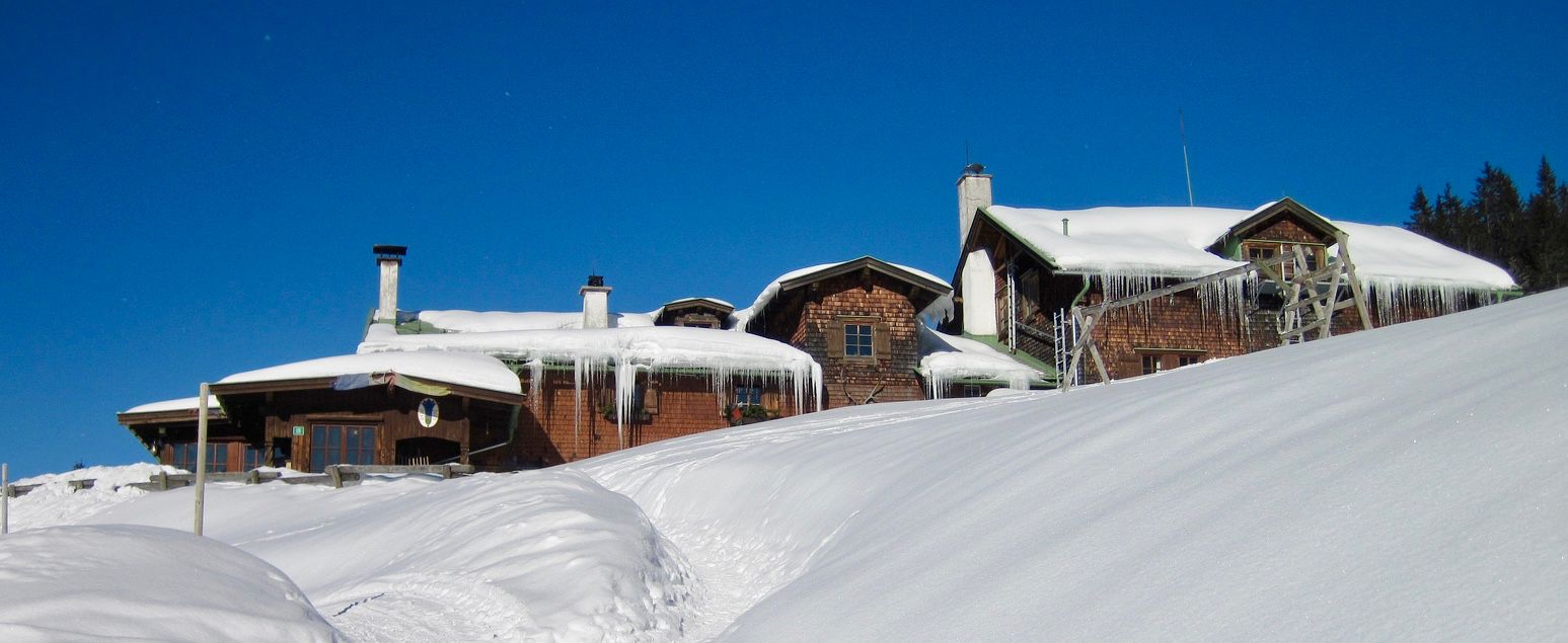
The Speckbacher Hütte is a cozy stop, perfect for a break on your hike. Here you can relax, have a drink, and enjoy the mountain air before continuing. It's especially pleasant to sit on the terrace and take in the surrounding views.
4
0
The Gaiskirchlein is a unique rock chapel that blends quietly and unobtrusively into its surroundings. The small space is surprisingly peaceful, and the view of the landscape makes the stop even more worthwhile. It's ideal for pausing briefly, taking a photo, and then continuing on your way at a relaxed pace.
5
0
The Falkenstein Cave is a small, exciting detour carved into the rock face, resembling a hidden window into nature. Inside, it's usually noticeably cooler, and the view out over the forest and slopes has an adventurous feel. Perfect for a quick stop – a quick look inside, a breath of fresh air, and then back onto the trail.
5
0
The Totenberg (992 m) lies somewhat secluded and unmarked in the middle of the forest – more of a quiet "summit" than a viewpoint. There's no view here, but all the more peace and quiet and the feeling of being briefly off the beaten track. Ideal for those who appreciate unspectacular, hidden spots on the map.
4
0
This bench overlooking the valley is a peaceful spot to breathe deeply and enjoy the view. From here, the gaze sweeps far across the landscape, while all around it is pleasantly quiet. Ideal for a short break or a photo.
5
0
The view of the Eselstein is a striking highlight of the tour, where the rocky outcrop immediately catches the eye. Depending on the light, it appears sometimes rugged and massive, sometimes almost gently nestled into the landscape. A good spot for a quick photo and a short break.
5
0
Frequently Asked Questions
How many bus-accessible hiking trails are available around Breitenstein?
There are over 25 bus-accessible hiking trails around Breitenstein, offering a variety of experiences for different fitness levels. You'll find everything from easy strolls to more challenging ascents.
What is the general difficulty level of bus-accessible hikes in Breitenstein?
The majority of bus-accessible hikes in Breitenstein are considered easy or moderate. Approximately 15 routes are easy, 11 are moderate, and a couple are more difficult, ensuring options for all skill levels.
What do other hikers enjoy most about the bus-accessible trails in Breitenstein?
The komoot community highly rates the trails around Breitenstein, with an average score of 4.6 stars from over 600 ratings. Hikers often praise the diverse landscapes, impressive viewpoints, and the convenience of accessing trails directly from bus stops.
Are there any interesting natural features or landmarks to see on these bus-accessible hikes?
Yes, many bus-accessible routes feature unique natural and historical landmarks. For example, the Falkenstein Cave – Gaiskirchlein Cave Chapel loop from Orthof takes you past the intriguing Falkenstein Cave and the peaceful Gaiskirchlein rock chapel. Other highlights in the broader region include the Luckerte Wand Rock Formation and Viewpoint and various impressive viaducts from the historic Semmering Railway.
Can I find impressive viewpoints along bus-accessible routes?
Absolutely. The region is known for its scenic vistas. A popular route is the 20 Schilling View – Little 20‑Schilling Viewpoint loop from Breitenstein, which offers panoramic views, including the famous '20-Schilling View' and the Double Rider Lookout, tracing parts of the UNESCO World Heritage Semmering Railway.
Are there circular hiking routes accessible from bus stations in Breitenstein?
Yes, several bus-accessible routes are circular, allowing you to start and end at the same point without needing to retrace your steps. Examples include the Falkenstein Cave – Gaiskirchlein Cave Chapel loop from Orthof and the Covered rest area – View of Eselstein loop from Breitenstein.
Are the bus-accessible trails in Breitenstein suitable for families?
Many of the easy and moderate bus-accessible trails are suitable for families. Routes like the Falkenstein Cave – Gaiskirchlein Cave Chapel loop from Orthof offer manageable distances and interesting features like caves and chapels that can engage younger hikers.
Are dogs allowed on the bus-accessible hiking trails?
Generally, dogs are welcome on hiking trails in the Breitenstein region, but it's always advisable to keep them on a leash, especially in nature protection areas or near livestock. Always carry water for your dog and be mindful of local regulations.
What is the best time of year to hike the bus-accessible trails in Breitenstein?
Spring through autumn (May to October) is generally the best time for hiking in Breitenstein, offering pleasant temperatures and vibrant scenery. Some lower-elevation trails may also be accessible in winter, but always check conditions for snow and ice, especially on higher routes.
Are there places to eat or rest near the bus-accessible trailheads?
Yes, some routes offer opportunities for refreshments. For instance, the Breitenstein and Speckbacherhütte - Rax Schneeberge tour includes the Speckbacherhütte, a cozy stop perfect for a break with mountain views. The broader region also has various cafes and guesthouses in nearby villages.
Are there any challenging bus-accessible routes for experienced hikers?
While many routes are easy to moderate, there are a few more challenging options for experienced hikers, particularly those venturing into the Rax-Schneeberg Group. These routes may involve steeper ascents and require good fitness and sure-footedness. Always check the route details for elevation gain and technical difficulty.
Most popular routes around Breitenstein
Most popular attractions around Breitenstein

Get inspired with the komoot mobile app


Explore more
Browse the best Hikes in other regions.
