The best hikes from bus stations around Sankt Gilgen
4.6
(22740)
143,901
hikers
142
hikes
Hiking around Sankt Gilgen offers a diverse landscape characterized by the alpine foothills of the Salzkammergut region and the prominent Lake Wolfgangsee. The area features a blend of mountain trails, lakeside paths, and forest routes, providing varied terrain for outdoor activities. Dominating the skyline, Zwölferhorn Mountain offers panoramic views of the surrounding lakes and peaks. This UNESCO World Heritage site is known for its natural beauty, encompassing numerous lakes and a landscape of forests and alpine features.
Best bus station…
Last updated: June 27, 2026
4.6
(281)
1,955
hikers
9.64km
04:34
910m
910m
Hard hike. Very good fitness required. Mostly accessible paths. Sure-footedness required.
4.8
(120)
744
hikers
Moderate hike. Good fitness required. Mostly accessible paths. Sure-footedness required.

Sign up for free
4.9
(100)
401
hikers
3.62km
01:25
210m
210m
Moderate hike. Great for any fitness level. Mostly accessible paths. Sure-footedness required.
4.7
(46)
499
hikers
Hard hike. Good fitness required. Sure-footedness, sturdy shoes and alpine experience required.
4.8
(74)
509
hikers
9.46km
03:21
440m
440m
Moderate hike. Good fitness required. Mostly accessible paths. Sure-footedness required.
Get access to more routes and recommendations from other explorers.
Sign up for free
Already have an account?
Our route recommendations are based on thousands of hikes, rides, and runs completed by other people on komoot.
Start today with a free account
Your next adventure awaits.
Login or Signup
Popular around Sankt Gilgen
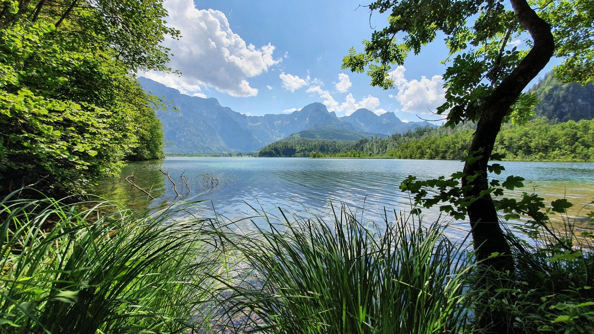
Voralpenweg 04 – From Vienna to Bad Reichenhall
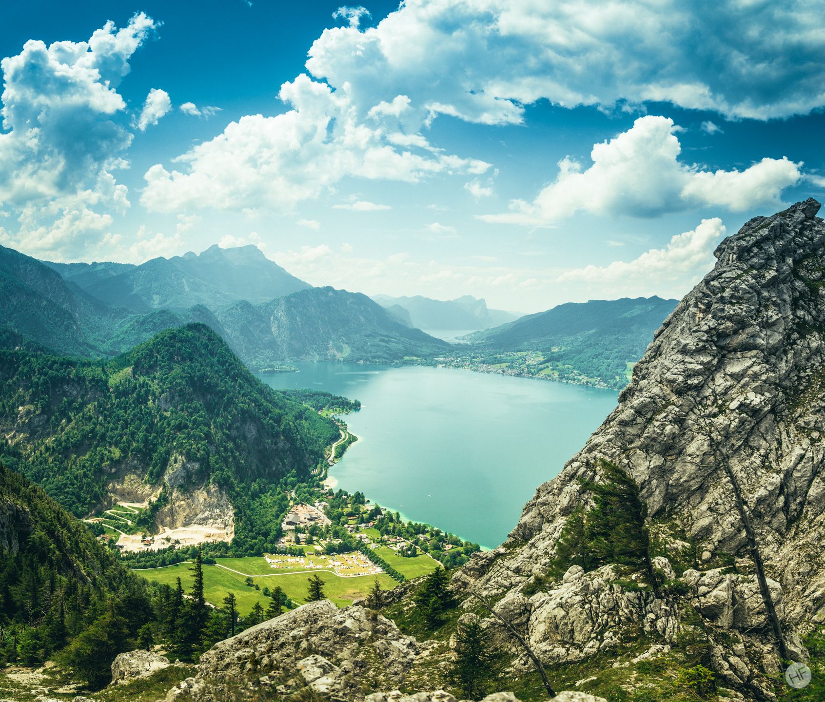
Around the Attersee – long-distance trails and the mountain hikes
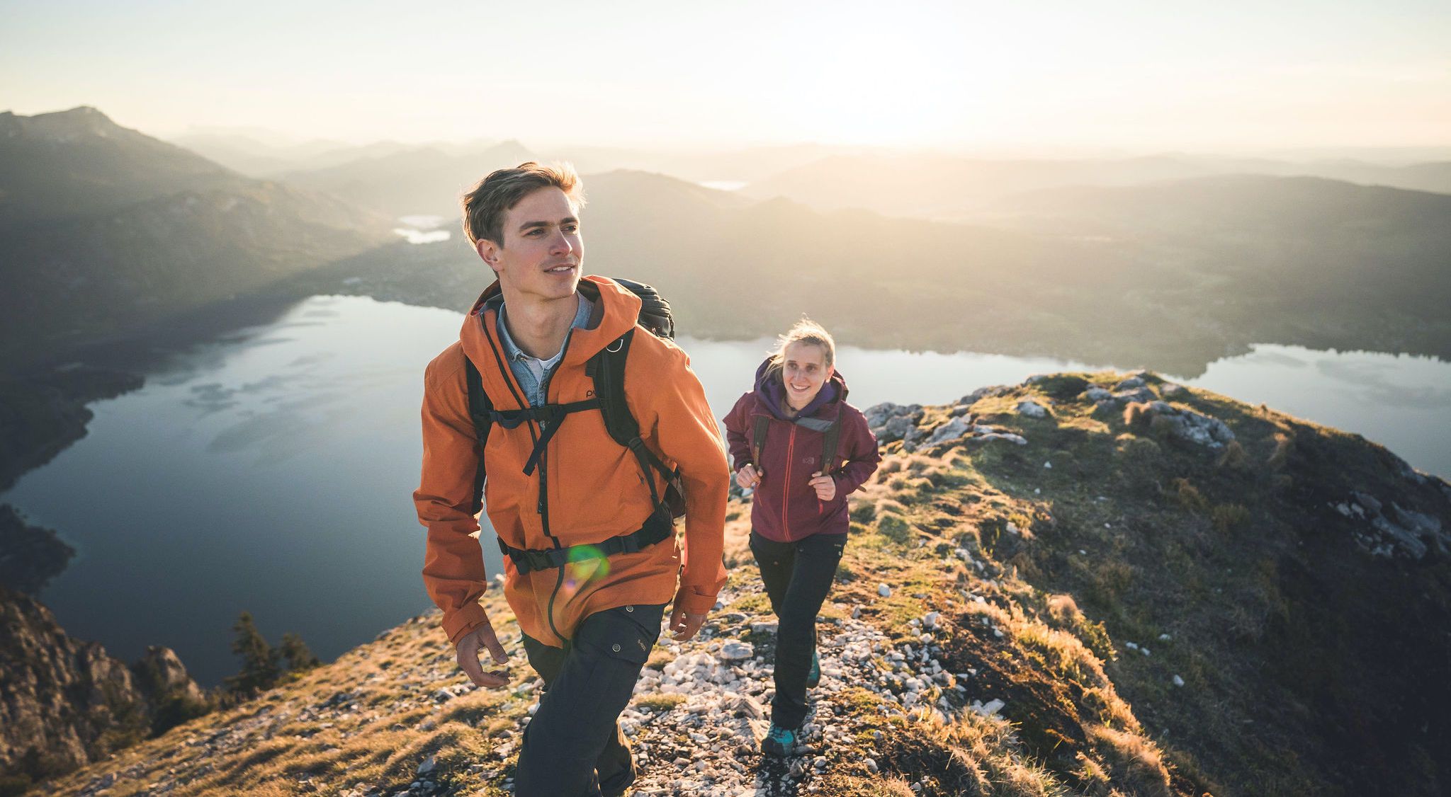
Discover Austria’s largest lake — day hikes around Lake Attersee
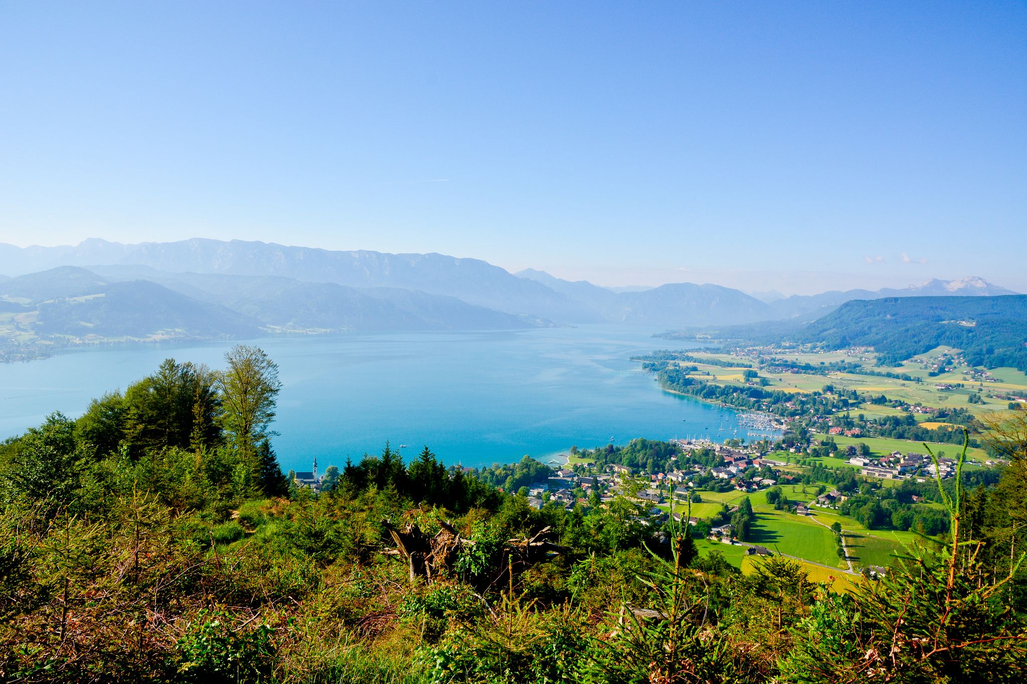
Far away from everyday stress – hikes around the Attersee
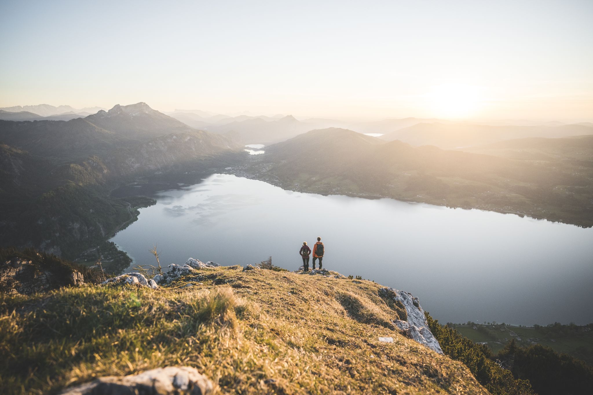
Explore the Salzkammergut on the BergeSeen Trail
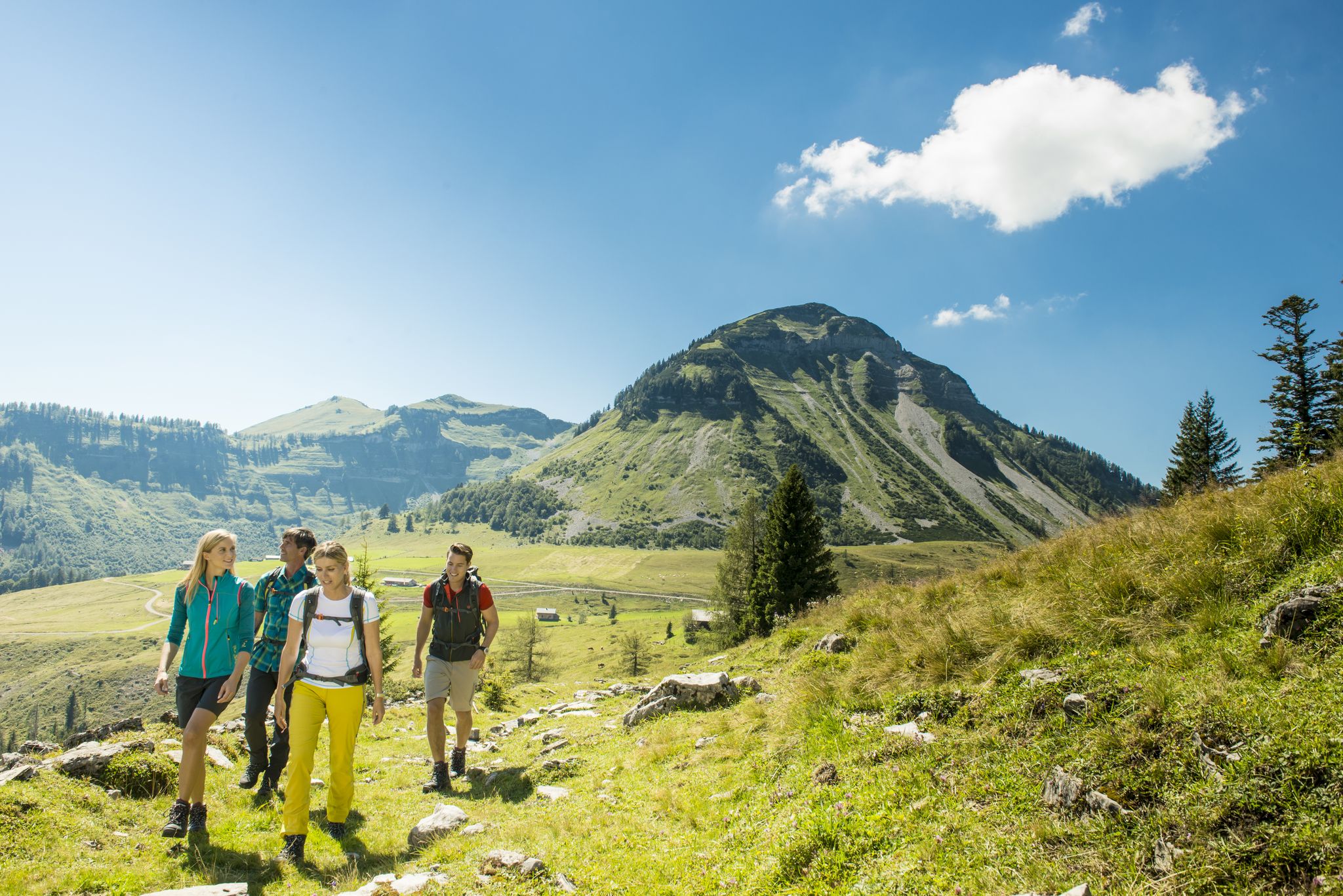
Weekend hikes around Lake Fuschl
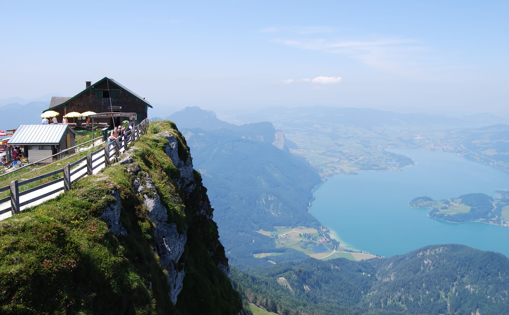
Fantastic hiking trails between Mondsee and Irrsee
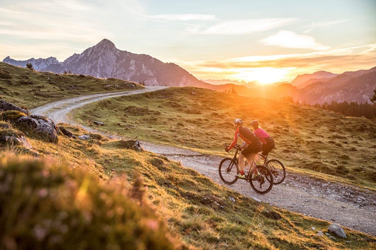
Cycle in SalzburgerLand – roads and gravel in Salzkammergut and Tennengau
The most beautiful leisurely cycling routes in Upper Austria
Fourteen Wadlbeißer – best road cycling routes in Upper Austria
Other adventures around Sankt Gilgen


Tips from the Community

The combination of mountain and lake view is simply brilliant
0
0

Once you have climbed the Plombergstein at an altitude of 836 meters (St. Gilgen is at an altitude of 545 meters) via stony root paths, you will have a fantastic view of the Wolfgangsee, St. Gilgen and the surrounding mountain panorama, such as the Zwölferhorn, Breitenberg, Bleckwand, Sparber, Leonsberg, Vormauerstein and Schafberg. If you descend on the west side, you will encounter what feels like 15 ladders.
0
0
The Hochzeitskreuz (Wedding Cross) is located below the Falkenstein, slightly elevated above the lake shore. It is a wayside shrine, erected in 1609 by the archiepiscopal administrator, according to legend in memory of a drowned wedding party.
0
0
As thanks for saving an ox and the butcher who was dragged along through the water, the Ochsenkreuz was erected and renewed in 1667. The current form is a wayside shrine.
0
0
The Brunnwinkl near St. Gilgen is a romantic bay with listed buildings. Continue to Fürberg and to the Ochsen- and Hochzeitskreuz below the Falkenstein.
0
0
The Zwölferhorn at 1,522 meters can be reached on foot, by bike, by ski or by the Zwölferkopf cable car. With snow on the mountain, the Panorama-Runde was groomed today.
0
0

Beautiful view of Lake Wolfgang and the Schafberg!
0
0

Frequently Asked Questions
How many hiking trails are accessible from bus stations around Sankt Gilgen?
There are over 140 hiking trails in the Sankt Gilgen area that are easily accessible from bus stations. These routes offer a diverse range of experiences, from leisurely lakeside strolls to challenging mountain ascents, catering to all fitness levels.
What is the best time of year for hiking near Sankt Gilgen bus stations?
The spring, summer, and autumn months are ideal for hiking around Sankt Gilgen. Spring brings blooming landscapes, summer offers warm weather for lake activities, and autumn provides stunning foliage. While some trails are suitable for winter hiking, it's essential to check conditions and wear appropriate gear, as higher elevations can experience snow and ice.
Are there easy hiking trails accessible from Sankt Gilgen bus stations?
Yes, Sankt Gilgen offers numerous easy hiking options perfect for a relaxed outing. Many follow the shores of Lake Wolfgangsee, providing serene environments and stunning views. An example is the Victor von Scheffel Steig – Forest path on the shore of Lake Wolfgangsee loop, which is a moderate route but offers gentle sections along the lake.
Are there challenging hikes from Sankt Gilgen bus stations for experienced hikers?
Absolutely. For experienced hikers, Sankt Gilgen provides demanding trails with significant elevation gain and breathtaking panoramic views. Routes like the View of Lake Wolfgang – Zwölferhorn summit cross loop or the Schafberg Summit Cross – View from the Schafberg summit loop offer strenuous climbs to prominent peaks, rewarding you with expansive vistas of the Salzkammergut region.
Can I find hikes with waterfalls near Sankt Gilgen bus stations?
Yes, the region features beautiful natural elements, including waterfalls. You can explore routes that lead to such features, like the Kreuzstein Waterfall – Kienberghütte and Eisenaueralm loop, which takes you to the picturesque Kreuzstein Waterfall and offers a challenging but rewarding experience.
Are there family-friendly hiking options accessible by bus in Sankt Gilgen?
Sankt Gilgen is very family-friendly. Many easy loops along Lake Wolfgangsee are suitable for all ages. The Panorama Circuit on Zwölferhorn mountain, accessible via the Zwölferhorn cable car, is an easy circular trail with amazing views, even suitable for strollers. Look for trails with minimal elevation gain and well-maintained paths.
What scenic viewpoints can I reach on hikes from Sankt Gilgen bus stations?
The Sankt Gilgen area is renowned for its stunning viewpoints. Hikes often lead to panoramic vistas of Lake Wolfgangsee and the surrounding Alps. Notable viewpoints include the Zwölferhorn summit, offering views of the lake and the broader Salzkammergut, and the Schafberg summit, which provides expansive views of multiple lakes like Mondsee and Attersee.
What natural features or landmarks can I explore on hikes from Sankt Gilgen bus stations?
Beyond the stunning lake and mountain views, you can discover various natural features and landmarks. Explore the Rock crevices at Plombergstein on a hike like the Frenchmen's Cave – Rock crevices at Plombergstein loop. Other highlights include the Falkenstein Chapel, various caves like Adlerhöhle (Eagle Cave), and the dramatic Burggrabenklamm Gorge.
Are dogs allowed on hiking trails accessible from Sankt Gilgen bus stations?
Generally, dogs are welcome on most hiking trails in the Sankt Gilgen region. However, it's always advisable to keep them on a leash, especially in nature reserves, near livestock, or in crowded areas. Be sure to carry water for your dog and clean up after them to maintain the pristine environment.
What do other hikers enjoy the most about hiking in Sankt Gilgen?
The komoot community highly rates hiking in Sankt Gilgen, with an average score of 4.56 stars. Reviewers often praise the diverse landscapes, from the turquoise waters of Lake Wolfgangsee to the majestic alpine peaks. The well-marked trails, stunning panoramic views, and the accessibility of many routes from public transport stops are frequently highlighted as major positives.
What kind of terrain can I expect on hikes around Sankt Gilgen?
The terrain around Sankt Gilgen is incredibly varied. You can expect everything from flat, accessible paths along the lakeside promenade to forest trails, valley routes, and challenging alpine ascents. Some mountain trails, like those leading to Schober Summit, may even feature wire-rope secured sections, requiring appropriate footwear and a good head for heights.
Most popular routes around Sankt Gilgen
Most popular attractions around Sankt Gilgen

Get inspired with the komoot mobile app


Explore more
Browse the best Hikes in other regions.
