The best hikes from bus stations around Schwendau
4.5
(29053)
131,121
hikers
31
hikes
Bus station hiking trails around Schwendau offer access to the diverse landscapes of the Zillertal Alps and the Tuxer Hauptkamm. The region is characterized by high alpine peaks, dense forests, and expansive alpine meadows, with elevations ranging from 620 meters up to 2,590 meters. Prominent natural features include the Ziller River, various reservoirs, and several waterfalls, such as the Keilkeller Waterfall. This terrain provides a variety of hiking experiences, from valley paths to more challenging mountain ascents.
Best bus station…
Last updated: August 20, 2026
4.6
(98)
369
hikers
10.5km
03:37
460m
460m
Moderate hike. Good fitness required. Mostly accessible paths. Sure-footedness required.
4.5
(56)
184
hikers
7.79km
02:58
450m
450m
Moderate hike. Good fitness required. Mostly accessible paths. Sure-footedness required.

Sign up for free
4.6
(44)
219
hikers
4.22km
01:39
240m
240m
Moderate hike. Great for any fitness level. Mostly accessible paths. Sure-footedness required.
4.4
(45)
185
hikers
9.25km
03:40
590m
590m
Moderate hike. Good fitness required. Mostly accessible paths. Sure-footedness required.
3.6
(5)
39
hikers
8.38km
02:12
70m
70m
Moderate hike. Good fitness required. Easily-accessible paths. Suitable for all skill levels.
Get access to more routes and recommendations from other explorers.
Sign up for free
Already have an account?
Our route recommendations are based on thousands of hikes, rides, and runs completed by other people on komoot.
Start today with a free account
Your next adventure awaits.
Login or Signup
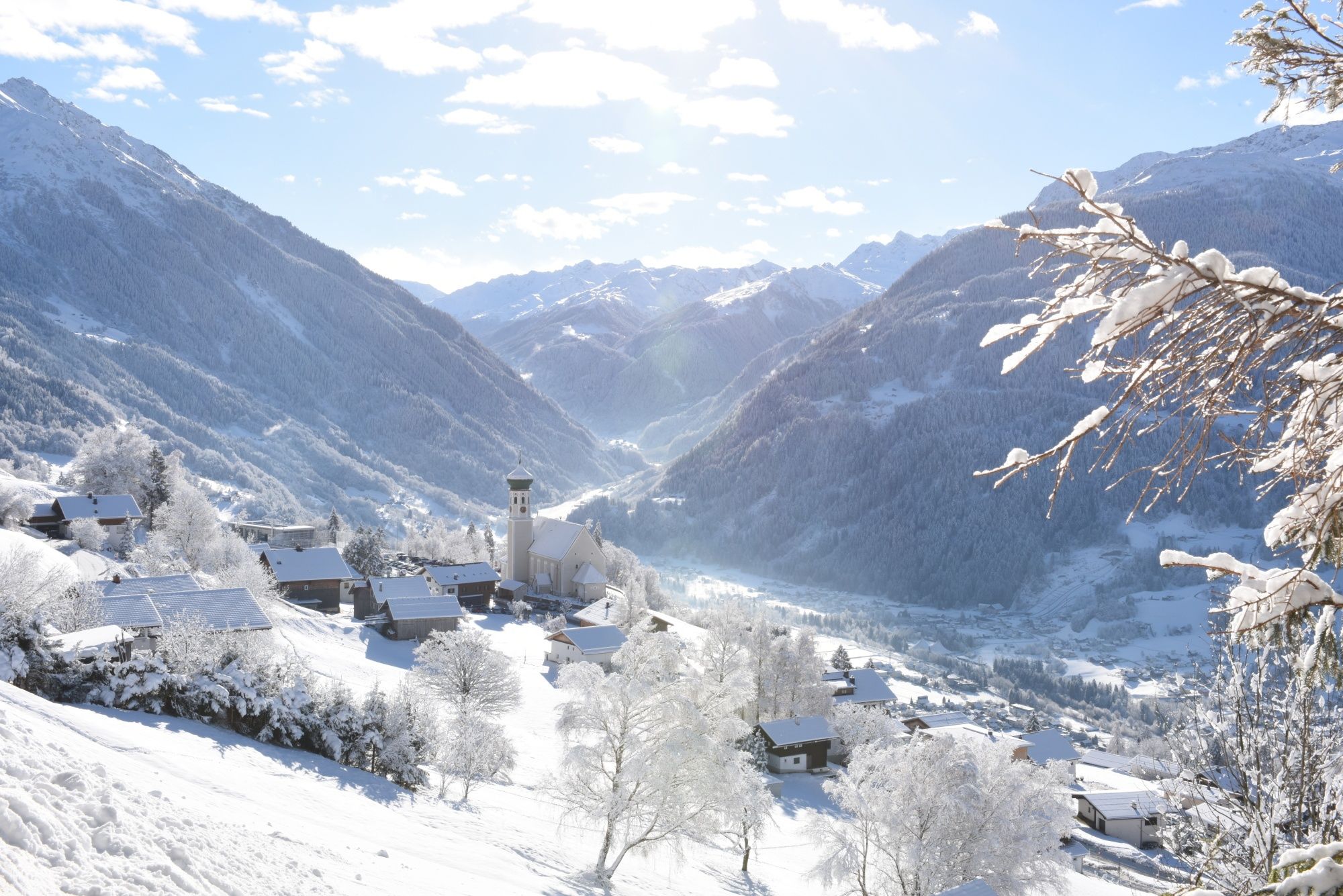
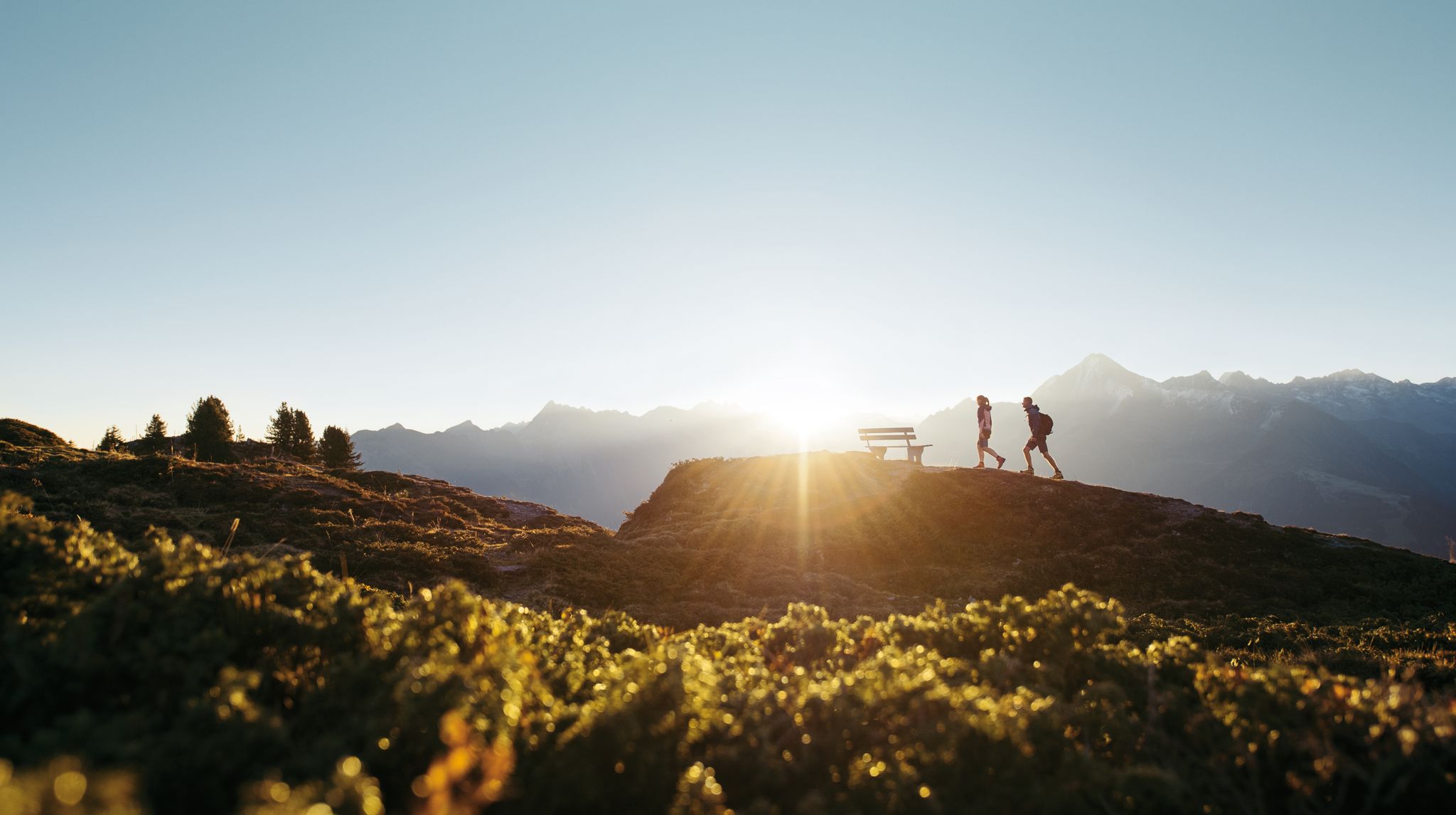
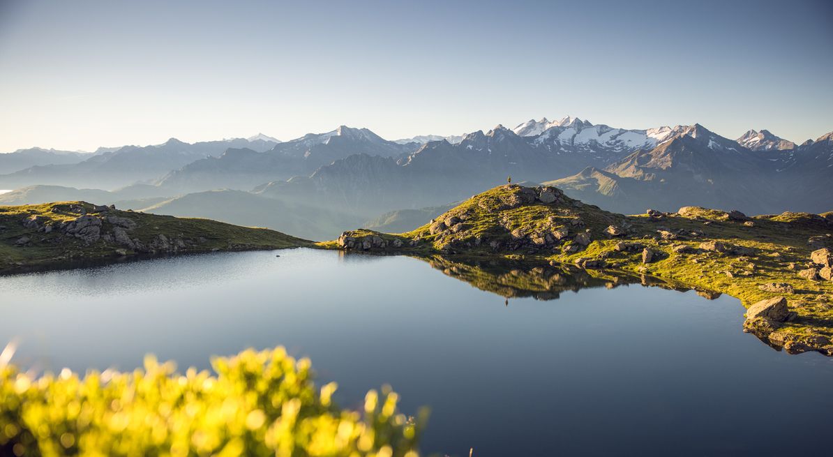
Other adventures around Schwendau


Tips from the Community


There are often expansive views and great places to rest. If you were to stop and take photos at every viewpoint, you would certainly need twice the walking time. But the scenic views are well worth taking in.
0
0

Beautiful path along the Ziller, whether on foot or by bike.
4
0


To Burgstall, on the way you take your first steps in paragliding
0
0

Traffic-free gravel path, ideal for walking or running.
0
0


Frequently Asked Questions
How many hiking trails are accessible from bus stations in Schwendau?
There are over 30 hiking trails around Schwendau that are easily accessible from bus stations. These routes offer a wide range of experiences, from leisurely strolls to more challenging alpine ascents, all starting conveniently close to public transport stops.
What kind of difficulty levels can I expect on bus-accessible hikes around Schwendau?
The bus-accessible hikes in Schwendau cater to all levels. You'll find a good mix, with 19 easy routes perfect for families or a relaxed day out, 11 moderate trails for those seeking a bit more challenge, and 1 difficult route for experienced hikers looking for a strenuous adventure. The diverse terrain of the Zillertal Alps ensures there's something for everyone.
Are there any family-friendly hiking trails accessible by bus in Schwendau?
Yes, Schwendau offers several family-friendly options accessible by bus. Many of the 19 easy routes are suitable for families. For instance, the Keilkeller Waterfalls – Keilkeller Waterfall loop from Schwendau is a moderate, shorter option that allows families to experience the natural beauty of the area. The region's trails often feature gentle ascents and scenic views, making them enjoyable for all ages.
Can I bring my dog on the bus-accessible hiking trails in Schwendau?
Many trails in the Schwendau region are dog-friendly, allowing you to enjoy the beautiful Zillertal scenery with your canine companion. It's always advisable to keep dogs on a leash, especially in nature reserves or near grazing animals. Please check local regulations for specific routes, but generally, the natural paths are welcoming to well-behaved dogs.
Are there any circular hiking routes starting from bus stations in Schwendau?
Yes, Schwendau offers several excellent circular routes that begin and end conveniently near bus stops. A great example is the View of the Zillertal Valley – View of the Stilluptal Valley loop from Umkehrplatz Skigebiet, which provides stunning panoramic views. Another option is the Bridge over the Ziller – Keilkeller Waterfall loop from Mayrhofen, offering a scenic loop with a beautiful waterfall highlight.
What natural features or viewpoints can I see along the bus-accessible hiking trails?
The bus-accessible trails in Schwendau are rich with natural beauty and stunning viewpoints. You can expect to see cascading waterfalls like the Talbach Waterfall and the Schlegeis Waterfall. Many routes offer expansive views of the Zillertal Alps and the Tuxer Hauptkamm, with highlights such as the Penkenjoch summit and the Ahornbahn Summit Station providing breathtaking panoramas. The Penken Mountain Adventure Area is also a popular viewpoint.
When is the best time of year to go hiking from bus stations in Schwendau?
The best time for hiking in Schwendau is generally from spring to autumn. Spring brings blooming alpine flowers, summer offers pleasant temperatures for higher routes, and autumn transforms the landscape with golden hues. While some trails might be accessible in winter, many higher-altitude paths can be covered in snow, requiring appropriate gear and caution. Always check local conditions before heading out.
Are there any hikes near Schwendau bus stations that feature waterfalls?
Absolutely! The Schwendau region is known for its beautiful waterfalls. The Keilkeller Waterfalls – Keilkeller Waterfall loop from Hippach is a fantastic moderate route specifically highlighting these natural wonders. You can also find other waterfalls like the Talbach Waterfall and the Schlegeis Waterfall along various trails, often accessible via bus connections.
What do other hikers enjoy most about hiking in Schwendau?
The komoot community highly rates hiking in Schwendau, with an average score of 4.5 stars. Reviewers frequently praise the diverse landscapes, from dense forests and green alpine meadows to spectacular mountain vistas. The accessibility of trails via public transport is also a significant plus, allowing hikers to explore the region's natural beauty conveniently.
Are there any bus-accessible hikes that lead to mountain huts or places to eat?
Yes, several bus-accessible routes in the Schwendau area offer opportunities to stop at mountain huts or restaurants. The Rastkogel Hut, for example, is a well-known mountain hut in the Zillertal Alps that offers meals and serves as a starting point for further ascents. While specific routes vary, many trails are designed to pass by such establishments, allowing hikers to refuel and enjoy local hospitality amidst stunning scenery.
Most popular routes around Schwendau
Most popular attractions around Schwendau

Get inspired with the komoot mobile app


Explore more
Browse the best Hikes in other regions.
