The best hikes from bus stations around Pians
4.6
(2924)
16,712
hikers
195
hikes
Bus station hiking trails around Pians, a village in Tyrol, Austria, are set within the Tyrolean Alps, offering diverse alpine landscapes. The region is characterized by majestic mountains, including proximity to the Lechtal Alps, and the Sanna river flowing through the area. Hikers can expect a variety of terrain, from river valleys to mountain slopes, with numerous natural features such as peaks, huts, and waterfalls. The area provides a range of hiking opportunities suitable for different fitness levels.
Best bus…
Last updated: May 14, 2026
4.8
(5)
17
hikers
10.8km
03:32
440m
440m
Moderate hike. Good fitness required. Mostly accessible paths. Sure-footedness required.
3.7
(3)
11
hikers
9.86km
03:01
330m
330m
Moderate hike. Good fitness required. Easily-accessible paths. Suitable for all skill levels.
2
hikers
4.65km
01:21
120m
120m
Easy hike. Great for any fitness level. Easily-accessible paths. Suitable for all skill levels.
Get access to more routes and recommendations from other explorers.
Sign up for free
Already have an account?
Our route recommendations are based on thousands of hikes, rides, and runs completed by other people on komoot.
Start today with a free account
Your next adventure awaits.
Login or Signup



Tips from the Community

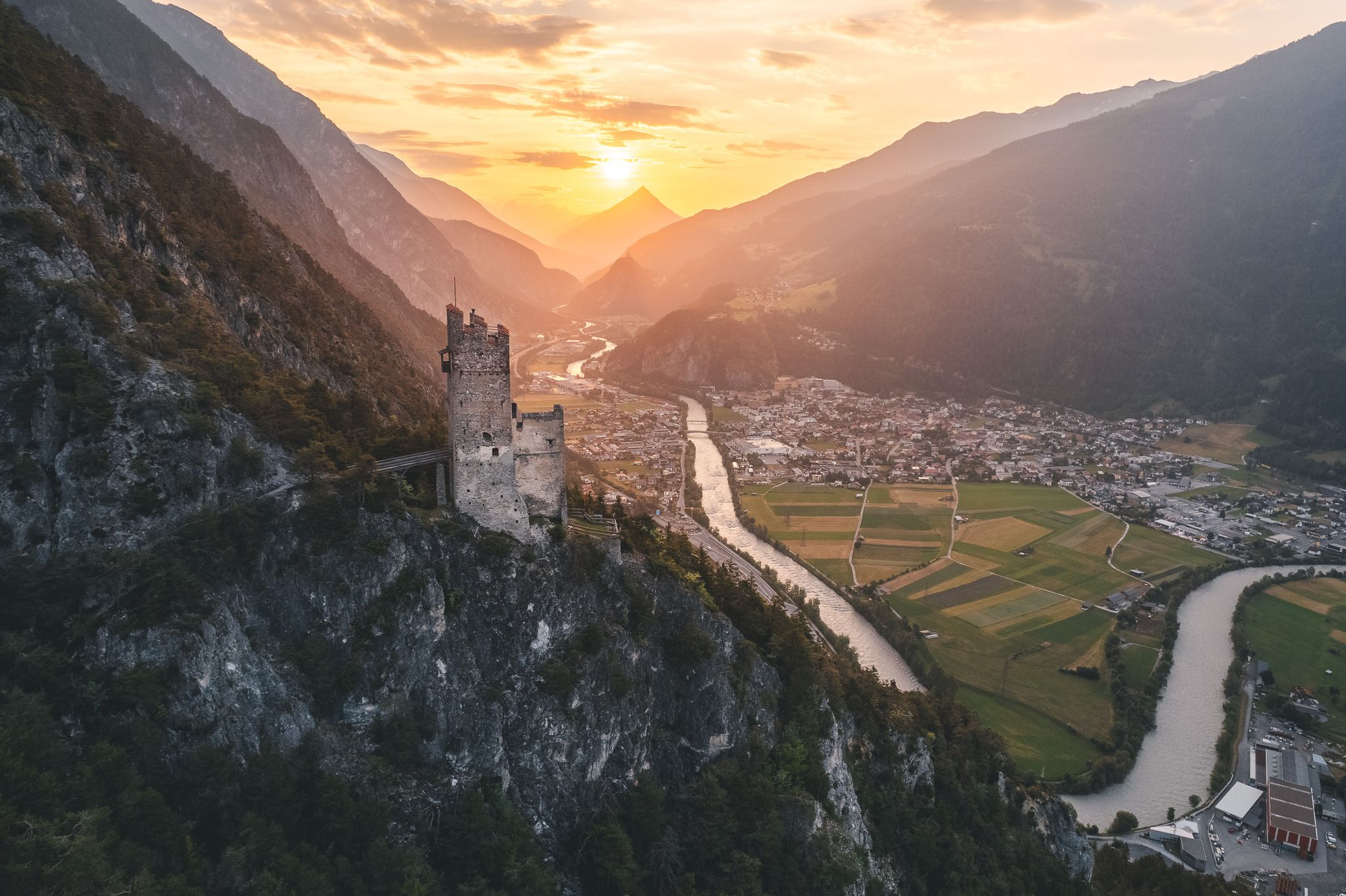
I'm not sure yet what exactly a Wiesenburg is, but this one is a beautifully blooming mountain meadow with a great view of Wiesberg Castle.
0
0

The Luftalb symbolizes freedom and movement. This delicate sculpture invites you to pause and take a deep breath. A tranquil place to let your gaze wander and feel a new sense of lightness – like a fresh gust of wind on your hike.
0
0
The Earth Elf reminds you of what sustains you. This powerful sculpture represents stability, grounding, and healing. Take a moment here to calm down, consciously perceive your surroundings—and draw new strength from nature.
0
0

The Trisanna Bridge is an artificial structure of the Arlberg Railway. It is 230 m long, 87 m high and crosses the "Trisanna" on the Silvretta Road.
0
0


The water from the mineral spring is used for chronic inflammatory diseases. Otherwise, drink normal drinking water.
1
0
The Roman bridge connects the two districts of Grins across the deep valley of the Mühlbach. In the Middle Ages, Grins was an important transport base on the way to the Arlberg. However, the bridge does not date from Roman times - it is not known exactly when it was built. There is evidence that it already existed in 1551.
2
0
South of Pians, this footbridge leads over the rushing Sanna, where a small waterfall falls.
0
0
Frequently Asked Questions
How many bus-accessible hiking trails are available around Pians?
Pians offers a wide selection of nearly 200 hiking trails directly accessible from bus stations. These routes cater to various fitness levels, with over 50 easy, nearly 90 moderate, and more than 50 difficult options to explore.
Are there any easy, family-friendly hikes accessible by bus in Pians?
Yes, Pians is known for its family-friendly outdoor options. Many easy trails are accessible by bus, often featuring interpretive signs, frequent rest spots, and shaded areas. An excellent example is the Small Waterfalls on the Sanna loop from Pians, which is an easy 4.6 km route with minimal elevation gain, perfect for a relaxed outing.
Can I find circular hiking routes starting from bus stops in Pians?
Absolutely. Many of the trails accessible from Pians' bus stations are circular routes, allowing you to start and end your hike at the same point without needing to retrace your steps. For instance, the Grins Roman Bridge – Grins Healing Spring loop from Pians offers a moderate 10.8 km circular experience.
Are there any hikes with waterfalls accessible by bus near Pians?
Yes, the Sanna river flows through the area, contributing to scenic beauty and offering routes with waterfalls. You can enjoy the Trisanna Bridge – Small Waterfalls on the Sanna loop from Pians, a moderate 9.8 km hike that features charming small waterfalls along the Sanna.
What kind of natural landscapes can I expect to see on bus-accessible hikes around Pians?
The region around Pians, nestled in the Tyrolean Alps, offers stunning alpine scenery. You'll encounter majestic mountains, including views towards Mt. Parseierspitze, lush green slopes, and the scenic Sanna river. Trails often lead through diverse landscapes featuring mountain peaks, natural monuments, and canyons, providing breathtaking backdrops for your hike.
Are there any historical landmarks or castles to see along bus-accessible routes?
Pians is part of the multi-stage Tyrolean Castle Trail, and several historical sites are accessible. You can explore nearby castles such as Wiesberg Castle or Landeck Castle and Historic Town Center, which are often within reach or visible from various hiking paths. The Grins Roman Bridge – Grins Healing Spring loop from Pians also offers a glimpse into the region's history.
What do other hikers enjoy the most about hiking in Pians?
The hiking trails around Pians are highly rated by the komoot community, with an average score of 4.6 stars from over 2,900 ratings. Reviewers often praise the stunning alpine scenery, the variety of trails for all skill levels, and the convenience of accessing routes directly from bus stations, making it easy to explore the beautiful Tyrolean landscape.
Are there any mountain huts accessible from bus-friendly trails in Pians?
Yes, the region features several mountain huts that can be destinations or waypoints on longer hikes. While some require more challenging treks, popular huts like the Ascher Hut (at 2,256 meters) are significant destinations for hikers, often reachable via trails that connect to public transport points in neighboring villages.
What is the best time of year for hiking near Pians bus stations?
The best time for hiking in Pians is generally from late spring to early autumn (May to October), when the weather is mild, and the trails are clear of snow. During this period, you can enjoy lush green landscapes and comfortable temperatures. Some lower-altitude trails might be accessible earlier or later, but higher alpine routes are best enjoyed in the summer months.
Are there any viewpoints or summits easily accessible by bus and a short hike?
While many summits require longer, more challenging hikes, several bus-accessible trails offer fantastic viewpoints of the surrounding valleys and mountains. For instance, the Krahberg Summit is a notable highlight in the area, and various routes provide panoramic vistas of the Tyrolean Alps and the Sanna river valley.
Are there options for winter hiking near Pians bus stations?
Yes, Pians offers opportunities for winter hiking, particularly on lower-altitude trails that are regularly cleared or suitable for snowshoeing. While high alpine routes become challenging and require specialized gear and experience, many scenic paths remain accessible for a refreshing winter walk, often providing stunning snow-covered views of the landscape.
Most popular attractions around Pians

Get inspired with the komoot mobile app


Explore more
Browse the best Hikes in other regions.
