The best hikes from bus stations around Bürs
4.6
(16006)
85,243
hikers
26
hikes
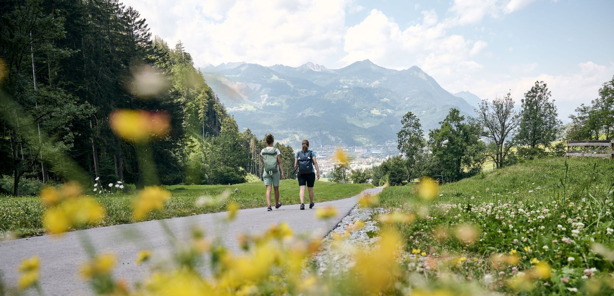
Bus station hiking trails around Bürs offer access to a diverse landscape in Austria's Bludenz district, characterized by varied topography ranging from gentle hills to majestic mountains. The region features significant natural formations such as the Bürser Gorge, shaped by Ice Age processes, and prominent peaks like Schesaplana. Hikers can explore a network of paths through forests, alongside mountain lakes, and across alpine terrain.
Best bus station hiking trails around Bürs
- The most popular bus station hiking route is Paths…
Last updated: July 3, 2026
4.8
(1017)
3,721
hikers
6.45km
02:17
320m
310m
Moderate hike. Good fitness required. Mostly accessible paths. Sure-footedness required.
4.8
(92)
457
hikers
4.12km
01:28
130m
130m
Moderate hike. Great for any fitness level. Mostly accessible paths. Sure-footedness required.

Sign up for free
4.7
(13)
50
hikers
4.69km
01:39
210m
210m
Moderate hike. Great for any fitness level. Mostly accessible paths. Sure-footedness required.
4.8
(21)
116
hikers
2.72km
00:59
100m
100m
Moderate hike. Great for any fitness level. Mostly accessible paths. Sure-footedness required.
4.0
(8)
30
hikers
7.22km
02:24
340m
340m
Moderate hike. Good fitness required. Easily-accessible paths. Suitable for all skill levels.
Get access to more routes and recommendations from other explorers.
Sign up for free
Already have an account?
Our route recommendations are based on thousands of hikes, rides, and runs completed by other people on komoot.
Start today with a free account
Your next adventure awaits.
Login or Signup
Other adventures around Bürs


Tips from the Community


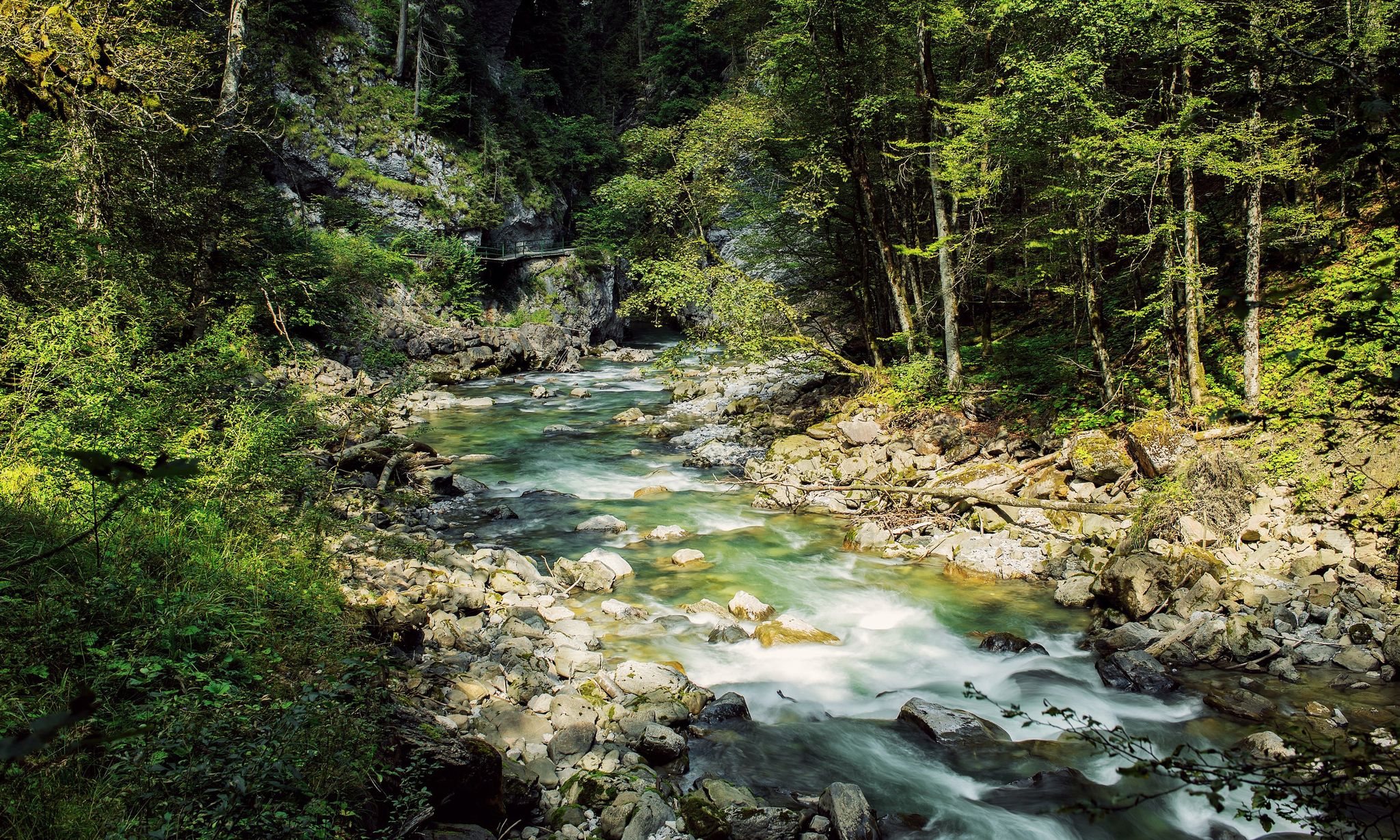
The Bürser Gorge was formed by the interplay of water and ice after the retreat of the glaciers about 10,000 years ago. The Alvierbach stream created a spectacular, almost jungle-like landscape with moss-covered rocks and a rich flora.
8
0
The Bürser Gorge was formed by the interplay of water and ice after the retreat of the glaciers about 10,000 years ago. The Alvierbach stream created a spectacular, almost jungle-like landscape with moss-covered rocks and a rich flora.
8
0
The Bürser Gorge was formed by the interplay of water and ice after the retreat of the glaciers about 10,000 years ago. The Alvierbach stream created a spectacular, almost jungle-like landscape with moss-covered rocks and a rich flora.
10
0
The Bürser Gorge was formed by the interplay of water and ice after the retreat of the glaciers about 10,000 years ago. The Alvierbach stream created a spectacular, almost jungle-like landscape with moss-covered rocks and a rich flora.
8
0
The Bürser Gorge was formed by the interplay of water and ice after the retreat of the glaciers about 10,000 years ago. The Alvierbach stream created a spectacular, almost jungle-like landscape with moss-covered rocks and a rich flora.
9
0
The Bürser Schrunden are a geological phenomenon that is clearly explained on display and information boards.
8
0
Frequently Asked Questions
How many hiking trails are accessible from bus stations around Bürs?
There are over 25 hiking trails around Bürs that are easily accessible from bus stations. These routes offer a mix of easy and moderate options, ensuring there's something for every hiker relying on public transport.
Are there easy hiking trails near Bürs bus stations suitable for beginners or families?
Yes, Bürs offers several easy trails perfect for beginners or families. Many routes are designed to be accessible, with gentle inclines and well-maintained paths. For example, the 'Fairy Tale & Legend Trail' is an easy thematic trail suitable for families, highlighting local folklore and nature.
What kind of natural attractions can I expect to see on bus-accessible hikes in Bürs?
Hikes accessible from Bürs bus stations often lead to stunning natural attractions. A highlight is the Bürserschlucht Trail, which takes you through the impressive Bürser Gorge, a natural spectacle formed during the Ice Age. You can also discover beautiful waterfalls like the Glingabrunn Waterfalls or the Kesselfall / Waterfall near Brand on various routes.
Are there any circular hiking routes starting from bus stops in Bürs?
Yes, many routes around Bürs are designed as circular walks, allowing you to start and end at the same bus stop. For instance, the Bürser Gorge – Bürs Gorge Trail loop from Bludenz is a moderate circular option that showcases the region's natural beauty.
What is the best time of year to go hiking from Bürs bus stations?
The best seasons for hiking in Bürs are spring, summer, and autumn. Spring offers vibrant blooming flowers, while summer provides cooler temperatures on higher trails and magnificent valley views. Autumn transforms the scenery with colorful foliage, making it a particularly picturesque time to explore.
Can I bring my dog on the hiking trails accessible from Bürs bus stations?
Generally, dogs are welcome on most hiking trails in the Bürs region. However, it's always advisable to keep them on a leash, especially in nature protection areas, near livestock, or in crowded sections. Specific regulations might apply to certain routes or natural parks, so always check local signage.
Are there any viewpoints or panoramic spots on hikes near Bürs bus stations?
Absolutely. The diverse topography around Bürs means many trails offer fantastic views. For example, the Kuhloch – View of Bludenz and Bürserberg loop from Bludenz provides scenic vistas of the surrounding valleys and mountains. Higher peaks like Schesaplana and Mondspitze also offer impressive panoramic views, though these might require more challenging hikes.
What do other hikers say about the trails around Bürs?
The hiking trails around Bürs are highly rated by the komoot community, with an average score of 4.6 stars from over 14,000 ratings. Reviewers often praise the diverse landscapes, the well-maintained paths, and the stunning natural features like the Bürser Gorge.
Are there any specific routes that highlight the unique geology of Bürs?
Yes, the Bürser Gorge is a prime example of the region's unique geology. Routes like Paths to the water – Bürserschlucht offer rare insights into the Earth's recent history, showcasing formations shaped by ice and water over centuries.
Are there any mountain huts or places to stop for refreshments along bus-accessible routes?
While specific bus-accessible routes vary, the Bürs region is known for its mountain huts. Many trails lead to or pass by huts like the Sarotlahütte, Heinrich Hueter Hut, and Totalp Hut, offering opportunities for refreshments and a break. It's always a good idea to check the opening times of specific huts before your hike.
How long are the typical hikes accessible from Bürs bus stations?
The duration of hikes accessible from Bürs bus stations varies. You can find shorter, easier walks like the Bürs Gorge Trail – Bürserschlucht Trail loop from Bludenz, which takes around an hour, to moderate routes that can last 2-3 hours or more, such as the Bürserschlucht Trail – Bürs Gorge Trail loop from Bludenz.
Most popular attractions around Bürs

Get inspired with the komoot mobile app


Explore more
Browse the best Hikes in other regions.
