The best hikes from bus stations around Wängle
4.6
(59973)
301,691
hikers
34
hikes
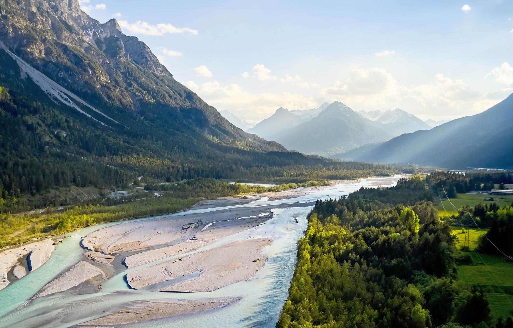
Bus station hiking trails around Wängle are set within the Reutte valley basin, offering diverse terrain from gentle riverside paths to challenging mountain ascents. The region is characterized by the majestic Hahnenkamm mountain range, impressive peaks like Gehrenspitze, and scenic lakes such as Frauensee. Hikers can expect varied landscapes, including verdant valleys, dense forests, and open alpine meadows, with elevations ranging significantly across the area.
Best bus station hiking trails around Wängle
- The most popular bus station hiking route is Gehrenalpe – View of Lechaschauer Alm loop from Höfen, a 7.4 miles (12.0 km) difficult trail that takes 5 hours 16 minutes to complete. This route offers significant elevation gain and expansive views of the surrounding alpine landscape.
- Another top favourite among local hikers is Gehrenalpe – Schneidspitze loop from Wängle, a difficult 8.7 miles (14.1 km) path. This trail leads through varied mountain terrain, including sections with steep climbs towards the Schneidspitze.
- Local hikers also love the Gehrenalpe – Gehrenalpe Hut loop from Wängle, a 4.0 miles (6.5 km) trail leading through alpine pastures and forests, often completed in about 3 hours 33 minutes.
- Hiking around Wängle is defined by the Hahnenkamm mountain range, the Gehrenspitze, and scenic valleys. The network offers options for easy walks along rivers, moderate trails to mountain huts, and difficult summit routes.
- The routes in Wängle are highly rated by the komoot community with an average score of 4.6 stars from over 54,000 reviews. More than 271,000 hikers have used komoot to explore Wängle's varied terrain.
Last updated: June 27, 2026
4.8
(52)
243
hikers
12.0km
05:16
850m
850m
Hard hike. Very good fitness required. Mostly accessible paths. Sure-footedness required.
5.0
(31)
196
hikers
14.1km
07:20
1,240m
1,240m
Hard hike. Very good fitness required. Sure-footedness, sturdy shoes and alpine experience required.

Sign up for free
4.8
(35)
239
hikers
6.47km
03:34
640m
640m
Moderate hike. Good fitness required. Mostly accessible paths. Sure-footedness required.
4.8
(6)
30
hikers
3.19km
00:55
70m
70m
Easy hike. Great for any fitness level. Easily-accessible paths. Suitable for all skill levels.
4.8
(5)
31
hikers
5.93km
01:38
100m
100m
Easy hike. Great for any fitness level. Easily-accessible paths. Suitable for all skill levels.
Get access to more routes and recommendations from other explorers.
Sign up for free
Already have an account?
Our route recommendations are based on thousands of hikes, rides, and runs completed by other people on komoot.
Start today with a free account
Your next adventure awaits.
Login or Signup
Popular around Wängle
Other adventures around Wängle

Tips from the Community

easily doable for families
0
0


The children always enjoy playing with water
0
1

You can often enjoy the great view on the tour
6
0
With a small waterfall, children like to play with water
5
0

So well-equipped, a dream for a stay or a relaxing holiday. A visit that's definitely worth it!
3
0
Very nice alp with great food and friendly people.
2
0
Frequently Asked Questions
How many bus station hiking trails are available around Wängle?
There are over 30 bus-accessible hiking trails around Wängle, offering a diverse range of experiences. You'll find routes suitable for various fitness levels, from easy strolls to more challenging mountain ascents.
Are there easy hiking routes accessible from Wängle's bus stations?
Yes, Wängle offers plenty of easy hiking routes directly accessible from bus stations. For a gentle walk with a scenic reward, consider the Laimbach Bridge and Waterfall loop from Wängle, which is an easy 3.2 km trail. The region has over 20 easy tours to choose from.
Are there any family-friendly bus station hikes in Wängle?
Absolutely. Many of the easy routes are suitable for families. The region is known for child-friendly trails like the "Märchenwaldweg" (Fairytale Forest Trail) which offers playful exploration. For a specific route, the Laimbach Bridge and Waterfall loop from Wängle is a great option for families looking for an accessible and engaging walk.
Can I find circular hiking routes starting from Wängle's bus stations?
Yes, many of the trails around Wängle are designed as circular routes, allowing you to start and end at the same bus station without needing to retrace your steps. For a moderate circular option, try the Gehrenalpe – Gehrenalpe Hut loop from Wängle, which offers stunning views and a chance to visit a mountain hut.
Are there any hikes near Wängle bus stations that feature waterfalls?
Yes, you can definitely find hikes featuring waterfalls. The Laimbach Bridge and Waterfall loop from Wängle is an easy route that takes you directly to a beautiful waterfall. Additionally, the famous Lechfall is a notable nearby attraction that can be incorporated into longer regional hikes.
What are some scenic viewpoints accessible from Wängle bus station hikes?
Wängle's location at the foot of the Gehrenspitze offers numerous scenic viewpoints. From various trails, you can enjoy expansive views across the Lechtal, Tannheim Valley, and Reutte Valley Basin, sometimes even reaching as far as the Zugspitze area. The View of the Lech Valley – Laimbach Bridge and Waterfall loop from Höfen provides excellent vistas of the valley.
What is the best time of year for hiking near Wängle bus stations?
Wängle is appealing for hiking across multiple seasons. Spring and summer offer vibrant nature and pleasant temperatures. Autumn provides a spectacular display of colorful foliage, making it an ideal time for scenic walks. Even in winter, the area is suitable for winter and snowshoe hikers, though specific bus routes might vary seasonally.
Are there any mountain huts or places to eat along the bus-accessible trails?
Yes, the region around Wängle features several charming mountain huts (Alms) that serve as excellent resting points and offer regional delicacies. The Gehrenalpe is a notable refuge with a large sun terrace and panoramic views, accessible via routes like the Gehrenalpe – Gehrenalpe Hut loop from Wängle. The Lechaschauer Alm and Schneetalalm are also popular stops.
What do other hikers enjoy most about hiking in Wängle?
The komoot community highly rates the hiking experiences around Wängle, with an average score of 4.6 stars. Hikers often praise the stunning alpine scenery, the diversity of trails catering to all abilities, and the well-marked paths. The accessibility via public transport and the presence of cozy mountain huts are also frequently highlighted.
Are there any historical landmarks or attractions I can visit near the bus station hiking trails?
Yes, the region is rich in historical and natural attractions. A recommended tour leads to the Ehrenberg Castle Ruins, offering not only a glimpse into the past but also panoramic views of the entire valley. Further afield, but still within reach, you can find the iconic Neuschwanstein Castle and the beautiful Lake Alpsee.
Are there any challenging bus station hikes for experienced hikers?
For experienced hikers seeking a challenge, Wängle offers demanding trails with significant elevation gain. The Gehrenalpe – Schneidspitze loop from Wängle is a difficult 14 km route that requires very good fitness and sure-footedness, rewarding you with magnificent summit views. Another challenging option is the Gehrenalpe – View of Lechaschauer Alm loop from Höfen.
Most popular attractions around Wängle

Get inspired with the komoot mobile app


Explore more
Browse the best Hikes in other regions.
