The best hikes from bus stations around Wahlkreis Wil
4.5
(1091)
5,745
hikers
331
hikes
Bus station hiking trails around Wahlkreis Wil offer a diverse landscape for outdoor exploration, characterized by rolling hills, dense woodlands, and river valleys. The region features natural elements such as the Thur River, the Bettenauer Weiher lake, and the Wissbach Gorge. Hikers can expect varied terrain, including open meadows, forested paths, and sections with moderate elevation changes, providing views of the surrounding St. Gallen canton.
Best bus station hiking trails around Wahlkreis Wil
- The most popular bus station hiking route…
Last updated: July 10, 2026
4.8
(43)
161
hikers
11.4km
03:01
110m
110m
Moderate hike. Good fitness required. Easily-accessible paths. Suitable for all skill levels.
4.8
(4)
85
hikers
Easy hike. Great for any fitness level. Easily-accessible paths. Suitable for all skill levels.

Sign up for free
4.5
(19)
84
hikers
8.79km
02:20
90m
90m
Moderate hike. Good fitness required. Easily-accessible paths. Suitable for all skill levels.
4.4
(9)
28
hikers
3.91km
01:02
40m
40m
Easy hike. Great for any fitness level. Easily-accessible paths. Suitable for all skill levels.
4.7
(9)
38
hikers
7.64km
02:21
260m
260m
Moderate hike. Good fitness required. Easily-accessible paths. Suitable for all skill levels.
Get access to more routes and recommendations from other explorers.
Sign up for free
Already have an account?
Our route recommendations are based on thousands of hikes, rides, and runs completed by other people on komoot.
Start today with a free account
Your next adventure awaits.
Login or Signup
Popular around Wahlkreis Wil
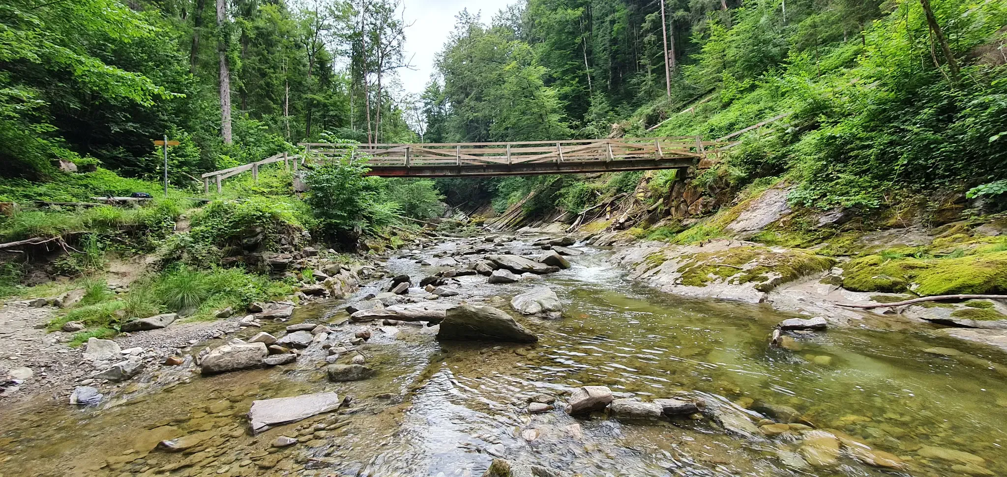
Cultural Trail Appenzellerland - Hiking between Lake Constance and Alpstein
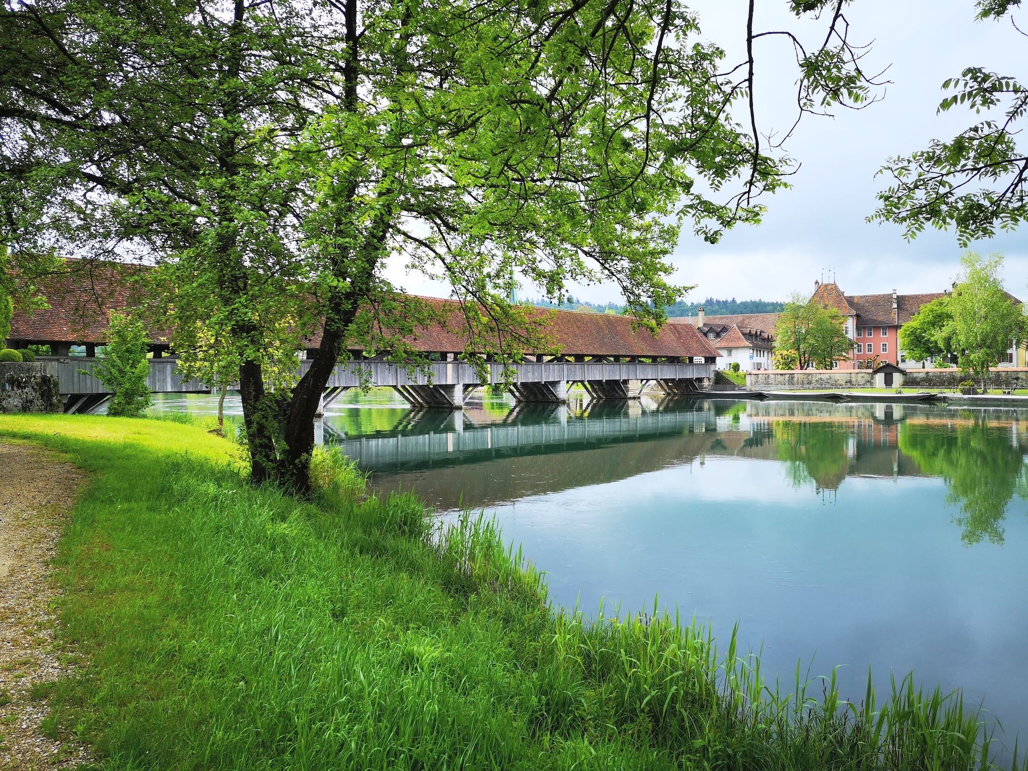
The Mittelland Route – Between Lake Constance and Lake Geneva

Lake and Alps Adventure – explore 100 dreamy places in our cycling region!
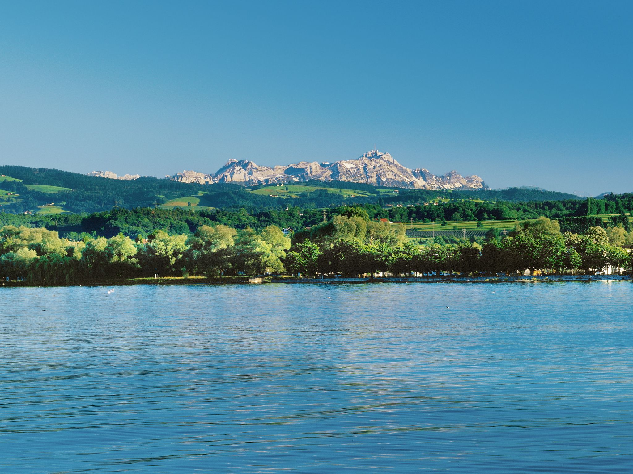
Lake and Alps Main Route – Your Path To Adventure!
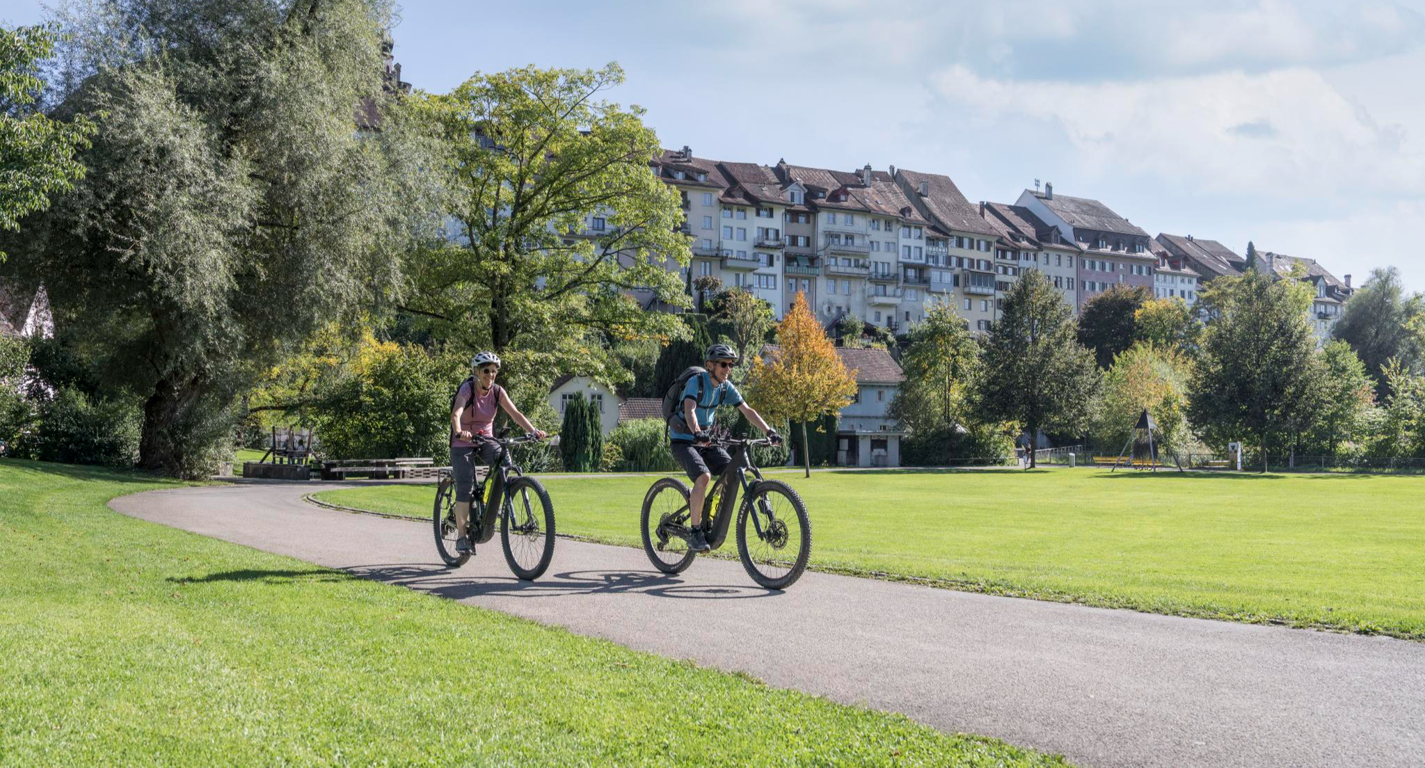
E-Bike-Touren für jedes Niveau in der Region St.Gallen-Bodensee
Other adventures around Wahlkreis Wil


Tips from the Community

Narrow yes (due to fence next to it), but not a ridge trail at all.
1
0
If you are cycling along the Thur river on gravel, you will have to drive under this bridge.
1
0
Passing west of the beautiful Bettenauer Weiher (driving is prohibited all around).
1
0

It climbs steeply on both sides, a bit difficult for inexperienced hikers. The route over Leuberg is a long flight of steps and not always clear.
0
0

The Bettenauer Weiher lies in a depression between Wildberg and Uzwil, entirely within the municipality of Oberuzwil, in the Toggenburg region in the Swiss Alpine foothills. The pond's bottom consists of peat soil. The pond includes the smaller peat ponds to the east. The Bettenauer Weiher was originally a moor pond, the origin of which can ultimately be traced back to the formation of a depression between the Wildberg and Vogelsberg mountains during the Würm glaciation, when the entire Toggenburg region was covered by the Rhine glacier. The area around the Bettenauer Weiher is a fen of regional importance. It is part of an amphibian spawning area of national importance. For this reason, the pond has had an amphibian guide structure, a protected road underpass, since 1993. [Source: Wikipedia]
0
0

Very nice. You can also see them here in the Rhine delta. 😍👍
0
0

Nice narrow path along the pasture, with a beautiful view of the Alpstein in good weather.
0
0
Cool place to take a break with kids during a hike. This will keep them entertained for the next few kilometers.
0
0
Frequently Asked Questions
How many bus station hiking trails are available in Wahlkreis Wil?
There are over 330 hiking routes in Wahlkreis Wil that are easily accessible from bus stations, offering a wide variety of experiences for all skill levels.
Are there easy hiking trails accessible from bus stops in Wahlkreis Wil?
Yes, Wahlkreis Wil offers many easy hiking trails directly from bus stations. For example, the Bettenauer-Weier (from parking lot) – Bettenauer Pond loop from Uzwil is an easy 5 km loop that's perfect for a relaxed outing. Another great option is the Forest Cottage – Thur River Near Wil loop from Schwarzenbach SG, which is just under 4 km and also considered easy.
What kind of natural features can I expect to see on these bus-accessible hikes?
The trails around Wahlkreis Wil offer diverse natural beauty, including lush meadows, wooded areas, and views of alpine foothills. You can also discover serene lakes like Bettenauer Pond and Wisssee, as well as unique natural monuments such as the Espel Biotope. The region is also known for the scenic Wissbach Gorge.
Are there any moderate hiking routes from bus stations for a bit more challenge?
Absolutely. If you're looking for a moderate challenge, consider the Huserfelsen – Fabrikkanal Nature Reserve loop from Niederbüren, which covers about 11.5 km. Another excellent moderate option is the Nollen – Waldwies hamlet loop from Zuzwil SG, offering a 7.6 km journey with some elevation.
What do other hikers enjoy most about the bus station trails in Wahlkreis Wil?
The komoot community highly rates the trails in Wahlkreis Wil, with an average score of 4.5 stars from over 1,000 reviews. Hikers often praise the well-maintained paths, the accessibility from public transport, and the varied scenery that includes peaceful forests, open fields, and picturesque water features.
Are there any loop trails that start and end at a bus station?
Yes, many of the bus-accessible routes in Wahlkreis Wil are convenient loop trails. For instance, the Kobesenmüli – Along the Thur River loop from Niederbüren is a moderate 8.5 km loop that brings you back to your starting point.
Can I find trails with waterfalls in Wahlkreis Wil that are reachable by bus?
While specific waterfall trails directly from bus stations aren't highlighted in the routes, the broader Wahlkreis Wil region is known for its natural waterscapes, including waterfalls. Many trails pass through areas where you might encounter smaller cascades, especially in the Wissbach Gorge area.
What is the best season for hiking these bus-accessible trails?
Wahlkreis Wil offers enjoyable hiking experiences throughout much of the year. Spring and autumn provide pleasant temperatures and beautiful scenery with blooming flowers or vibrant fall foliage. Summer is also great, especially for shaded forest paths. While some trails might be suitable for winter, it's always best to check local conditions for snow and ice.
Are the bus station hiking trails in Wahlkreis Wil suitable for families?
Yes, many paths are easily accessible and suitable for families. The region offers a good selection of easy walks with minimal elevation gain, making them enjoyable for all ages. Look for routes under 2 hours in duration for a comfortable family outing.
Are there any specific natural monuments or points of interest along these routes?
Beyond the scenic landscapes, you can explore several natural monuments. The Girenmoos Nature Reserve and the dramatic Hohlen Stein Gorge are notable highlights. You might also encounter the historic Kaiserlinde Wil, a significant tree in the area.
How long do the bus station hikes typically take?
The duration of these hikes varies widely. You can find easy walks lasting under two hours, perfect for a quick escape, or more demanding routes that can extend up to five hours, depending on the distance and elevation gain. There are options for every schedule and fitness level.
Most popular routes around Wahlkreis Wil
Most popular attractions around Wahlkreis Wil

Get inspired with the komoot mobile app


Explore more
Browse the best Hikes in other regions.
