The best traffic-free bike rides around Bezirk Rheinfelden
4.6
(2861)
47,626
riders
95
rides
No traffic road cycling routes around Bezirk Rheinfelden are primarily shaped by the High Rhine River, which forms a natural border and a central feature of the landscape. The region includes the wooded, gently-rising foothills of the Tafeljura, with elevations reaching up to 427 meters, and deeply incised valleys. Forests cover a significant portion of the district, providing varied terrain for road cyclists.
Best no traffic road cycling routes around Bezirk Rheinfelden
- The most popular no traffic road cycling route…
Last updated: October 27, 2026
4.3
(7)
128
riders
29.0km
01:21
330m
330m
Moderate road ride. Good fitness required. Some segments of this route may be unpaved and difficult to ride.
5.0
(2)
42
riders
107km
04:42
950m
950m
Hard road ride. Very good fitness required. Mostly well-paved surfaces and easy to ride.

5.0
(2)
41
riders
46.0km
02:10
470m
470m
Moderate road ride. Good fitness required. Some segments of this route may be unpaved and difficult to ride.
4.7
(12)
44
riders
Moderate road ride. Good fitness required. Some segments of this route may be unpaved and difficult to ride.
23
riders
Moderate road ride. Good fitness required. Mostly well-paved surfaces and easy to ride.
Get access to more routes and recommendations from other explorers.
Already have an account?
Our route recommendations are based on thousands of hikes, rides, and runs completed by other people on komoot.
Start today with a free account
Your next adventure awaits.
Popular around Bezirk Rheinfelden
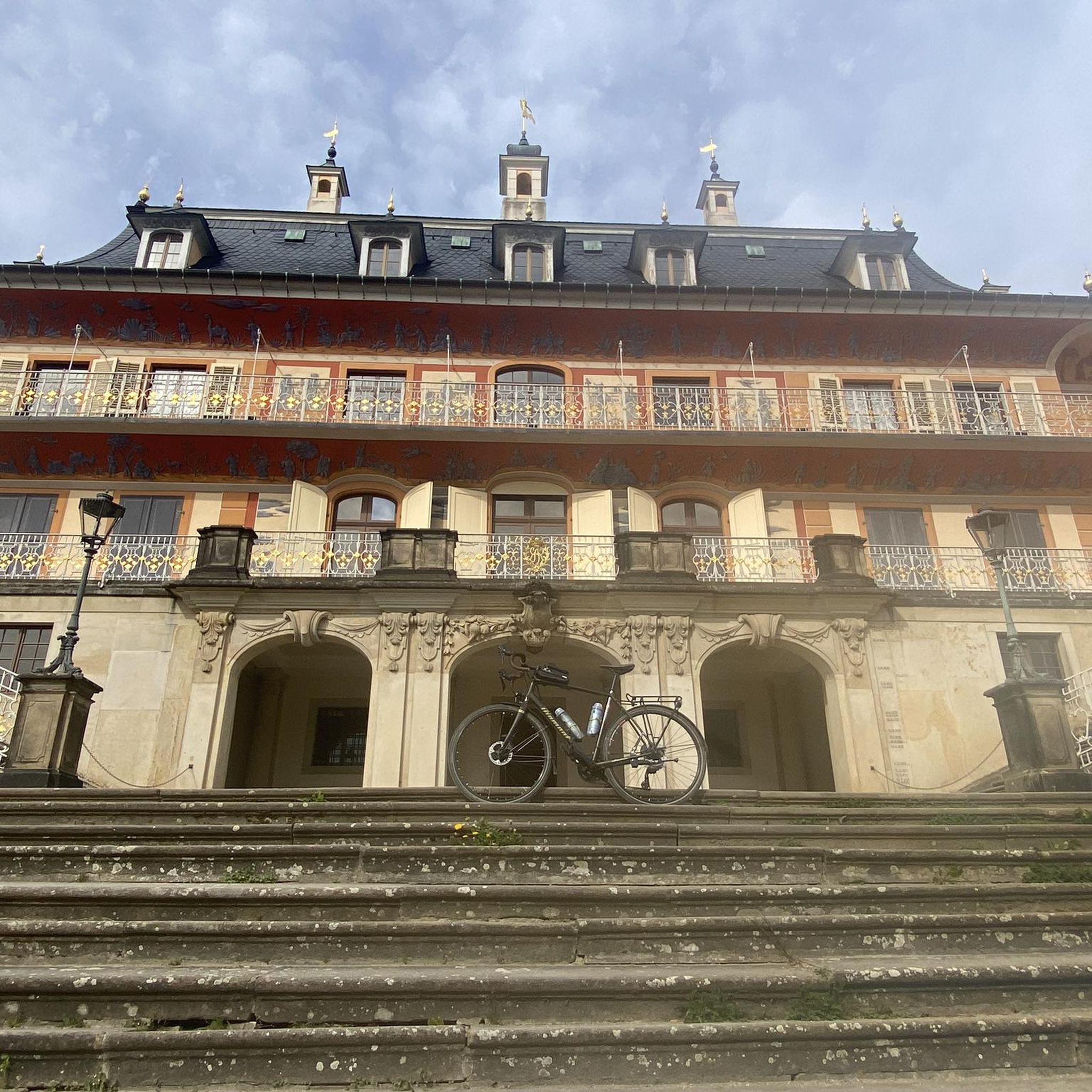
Traffic-free bike rides around Magden
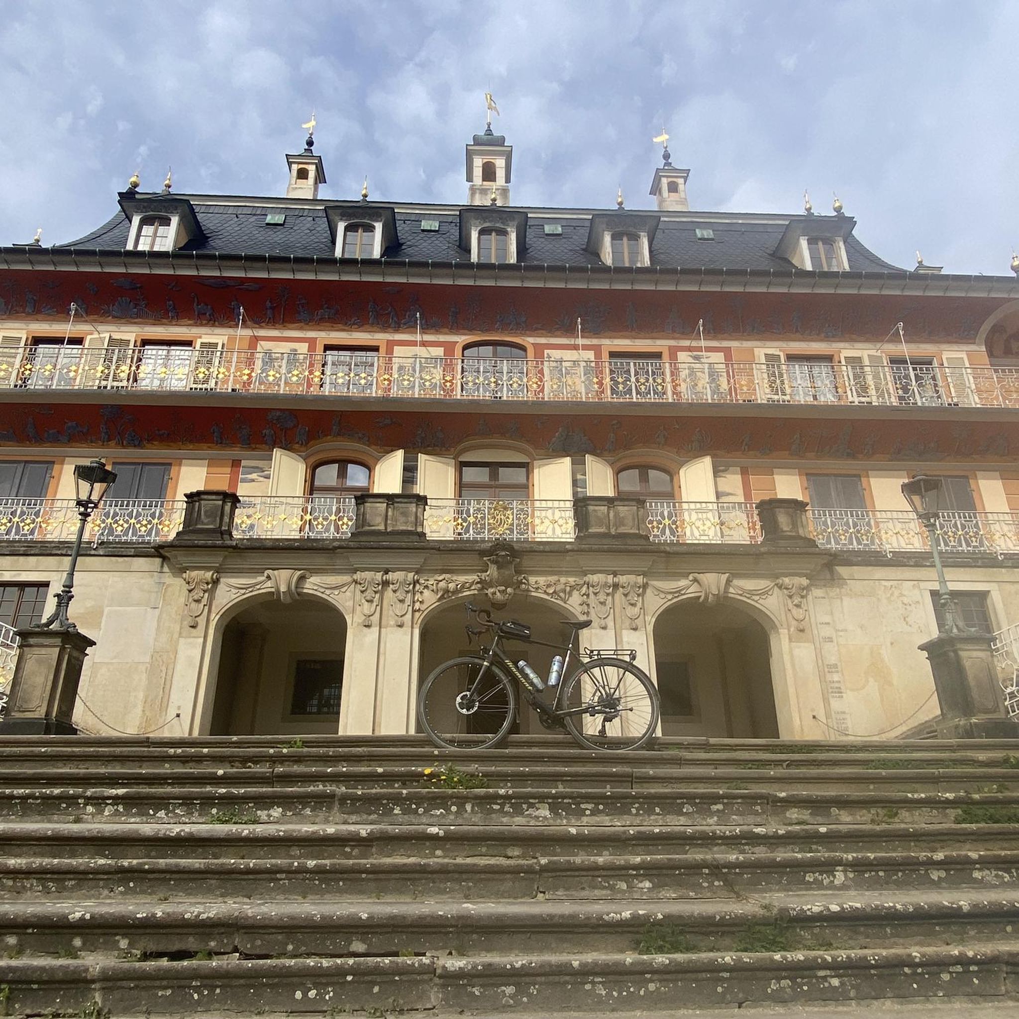
Traffic-free bike rides around Kaiseraugst
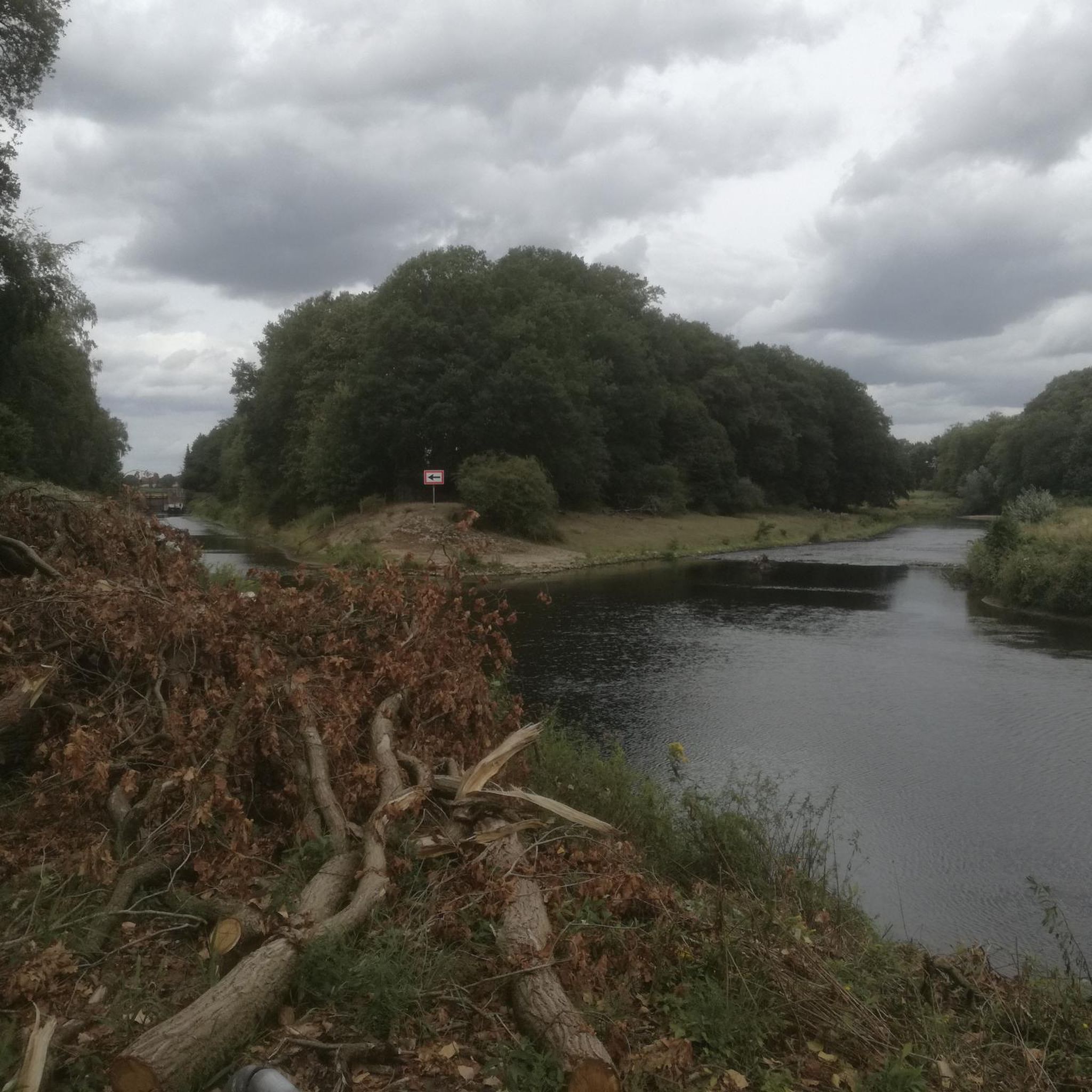
Traffic-free bike rides around Wallbach
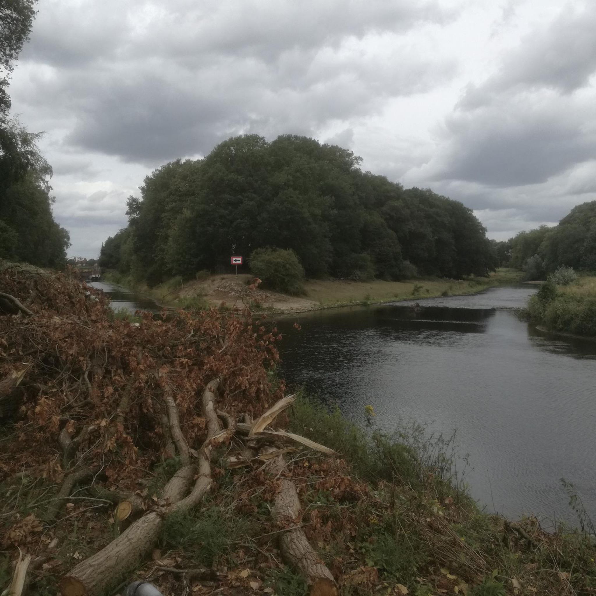
Traffic-free bike rides around Zeiningen
Traffic-free bike rides around Möhlin

Traffic-free bike rides around Mumpf

Traffic-free bike rides around Zuzgen

Traffic-free bike rides around Obermumpf

Traffic-free bike rides around Wegenstetten

Traffic-free bike rides around Schupfart
Other adventures around Bezirk Rheinfelden


Tips from the Community

The little road is indeed worth it and is usually not very busy. Not only is the view from Günnenbach out onto the Rhine beautiful, but a visit to the mountain lake located along the route is also highly recommended.
1
0

The first Aare bridge near Stilli was built in 1903 by the canton of Aargau. Renewed and widened in 1970. In the 13th/14th century, a bridge already crossed the Aare near Freudenau Castle (approx. 200 meters upstream).
0
0

The historic city gate is one of Laufenburg's striking landmarks and recalls the long history of the old town. Anyone who passes by here is immediately immersed in the medieval flair of the charming Rhine town.
0
0
Beautiful viewpoint overlooking Laufenburg and the Rhine. After the climb, a short break is worthwhile to enjoy the view of the old town and the river valley. In clear weather, the view extends far beyond the surroundings.
0
0
A very beautiful photo opportunity: the last bridge over the Aare River. Here, after 292 kilometers, the Aare flows into the Rhine.
1
0

There are far too many disused train stations.
0
0

Laufenburg was first documented in 1173, when the monastery in Säckingen granted the town as a fief to the Habsburgs. The first documented mention of Loufenberc dates back to 1207; the place name means "mountain near the waterfall, near the whirlpool, near the rapids" (Wikipedia).
3
0

Laufenburg is a small but beautifully preserved town right on the Rhine. There isn't a huge amount to see, but what there is is lovely.
0
0
Frequently Asked Questions
How many no-traffic road cycling routes are available in Bezirk Rheinfelden?
There are over 90 dedicated no-traffic road cycling routes in Bezirk Rheinfelden, offering a wide variety of distances and elevations. This guide focuses on a curated selection of these routes, ensuring a peaceful and enjoyable ride away from vehicular traffic.
What is the best time of year to enjoy no-traffic road cycling in Bezirk Rheinfelden?
The spring and autumn months are particularly ideal for no-traffic road cycling in Bezirk Rheinfelden. Spring brings blossoming cherry trees, especially along routes like the 'Baselbieter Vine Route', while autumn offers pleasant temperatures and vibrant foliage. The region's location along the High Rhine generally provides good conditions for cycling from early spring through late autumn.
Are there any easy no-traffic road cycling routes suitable for beginners or families?
Yes, Bezirk Rheinfelden offers several easy no-traffic road cycling routes perfect for beginners or families. These routes often feature gentler terrain and shorter distances. For example, the Rhine Cycle Path near Schwörstadt – Bad Säckingen Old Town loop from Bad Säckingen is a moderate route with minimal elevation gain, making it accessible for many riders.
What kind of terrain and elevation can I expect on these no-traffic road cycling routes?
The no-traffic road cycling routes in Bezirk Rheinfelden offer a varied terrain. Many routes follow the flat, paved paths along the Rhine River, providing easy rides. However, some routes venture into the gently-rising foothills of the Tafeljura, such as the Steppberg and the 'Berg', which include moderate climbs and descents. You can find detailed elevation profiles for each route on komoot to help you choose one that matches your fitness level.
Can I find loop routes that start and end in the same location?
Absolutely. Many of the no-traffic road cycling routes in Bezirk Rheinfelden are designed as loops, allowing you to start and finish at the same point. An example is the View of the Rhine – Schupfart Airfield loop from Möhlin, which offers a scenic circular journey. This makes planning your ride and parking more convenient.
What scenic viewpoints or natural features can I expect to see along the routes?
The routes offer stunning views of the Rhine River, which is a defining natural feature of the region. You can also explore the wooded foothills of the Tafeljura and deeply incised valleys. Keep an eye out for the 'Amazon of Switzerland' section of the High Rhine, known for its unspoiled nature. Highlights like the Blessed Oak offer panoramic views.
Are there any historical landmarks or attractions accessible from these routes?
Yes, Bezirk Rheinfelden is rich in history. Many routes pass by or are close to significant landmarks. You might encounter the historic Old Rhine Bridge in Rheinfelden, the impressive Rheinfelden Town Hall, or the Old Saltworks at Möhlin. While slightly outside the immediate district, the well-preserved Roman city of Augusta Raurica can also be incorporated into longer tours. The Schloss Beuggen – Bad Säckingen Old Town loop from Bad Säckingen is a great option for combining cycling with historical exploration.
What do other road cyclists enjoy most about the no-traffic routes in Bezirk Rheinfelden?
The no-traffic road cycling routes in Bezirk Rheinfelden are highly rated by the komoot community, with an average score of 4.7 stars. Reviewers often praise the peacefulness of the car-free paths, the beautiful scenery along the Rhine, and the well-maintained surfaces. The variety of routes, from flat river paths to gentle climbs, is also frequently highlighted.
Are there options for longer, more challenging no-traffic road cycling routes?
Yes, for those seeking a greater challenge, there are longer no-traffic road cycling routes with more significant elevation gains. These routes often explore the higher parts of the Tafeljura foothills. An example is the Bad Säckingen Old Town – Car-Free Route Hasel–Wehr loop from Bad Säckingen, which offers a substantial distance and elevation for a rewarding ride.
Are there any natural monuments or unique ecological sites along the routes?
Yes, the region boasts several natural monuments and ecologically significant areas. The Aargau section of the High Rhine is known as the 'Amazon of Switzerland' due to its unspoiled nature and diverse wildlife, including beavers and kingfishers. You might also discover highlights such as the Magdalena Spring or the High-Stem Orchard in Jurapark Aargau, offering glimpses into the local flora and fauna.
Where can I find parking or public transport access for these routes?
Many routes are accessible from towns like Rheinfelden and Bad Säckingen, which offer public transport connections and parking facilities. For routes starting from Rheinfelden, the railroad station is a convenient starting point. Specific parking information can often be found in the route descriptions on komoot, or by checking local municipal websites for parking options near your chosen starting point.
Most popular routes around Bezirk Rheinfelden
Most popular attractions around Bezirk Rheinfelden

Get inspired with the komoot mobile app


Didn’t find what you were looking for?
Check out more Road cycling routes throughout Bezirk Rheinfelden below and find the perfect route in your destination.
Explore more
Browse the best Road cycling routes in other regions.
