The best city hikes and walks around Moutier
4.5
(828)
4,902
hikers
37
hikes
Urban hiking trails around Moutier offer a diverse range of landscapes within the Jura Mountains, characterized by impressive geological features. The region features deep gorges carved by rivers, rolling Jura pastures, and dense forests. Hikers can expect varied terrain, including paths along water bodies and through urban green spaces, providing accessible outdoor experiences within or near the town's vicinity.
Best urban hiking trails around Moutier
- The most popular urban hiking route is View of Lake Biel – Strandboden Lakefront loop…
Last updated: August 20, 2026
27
hikers
Easy hike. Great for any fitness level. Easily-accessible paths. Suitable for all skill levels.
14
hikers
Easy hike. Great for any fitness level. Easily-accessible paths. Suitable for all skill levels.

Sign up for free
17
hikers
Easy hike. Great for any fitness level. Easily-accessible paths. Suitable for all skill levels.
33
hikers
3.23km
00:49
10m
10m
Easy hike. Great for any fitness level. Easily-accessible paths. Suitable for all skill levels.
5.0
(1)
15
hikers
8.78km
02:14
20m
20m
Moderate hike. Good fitness required. Easily-accessible paths. Suitable for all skill levels.
Get access to more routes and recommendations from other explorers.
Sign up for free
Already have an account?
Our route recommendations are based on thousands of hikes, rides, and runs completed by other people on komoot.
Start today with a free account
Your next adventure awaits.
Login or Signup


Tips from the Community


Across the city of Biel, from Mett along the Schüss river to Lake Biel.
0
0

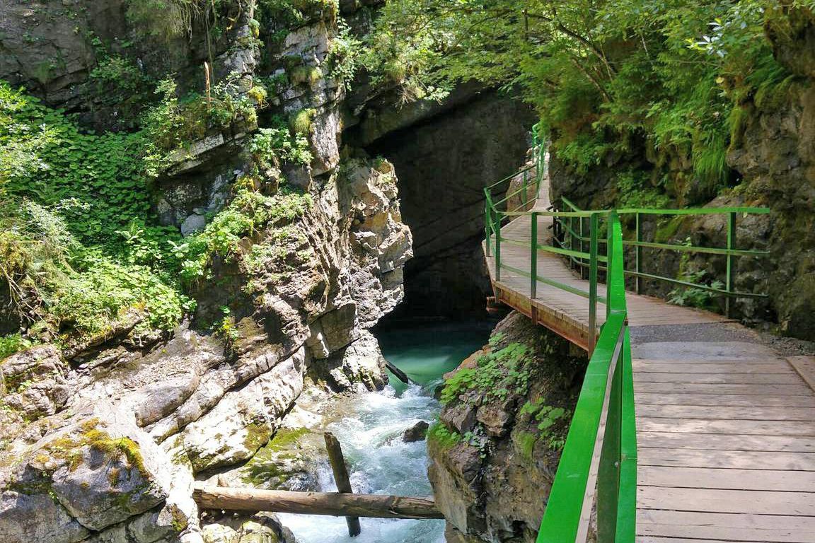
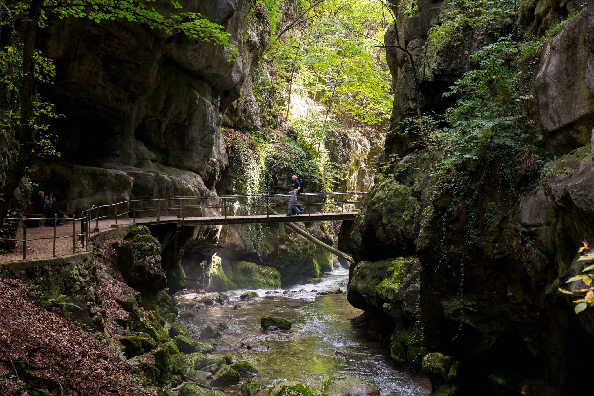
The Taubenloch Gorge, stretching for almost 3 km, is a romantic gorge with steep rock faces, bridges, tunnels, and easily accessible paths. The Schüss River flows through the gorge. It originates in the St. Immertal valley and empties into Lake Biel.
0
0
Charming little alleyways, beautiful fountains and venerable guildhalls invite you to stroll in the heart of the city of Biel.
0
0
A really beautiful place to relax and enjoy the lake.
0
0

Unfortunately, I didn't have time for the details due to the tight schedule for transfers in Switzerland.
0
0

Biel/Bienne train station The Swiss Central Railway (SCB) began operations on June 1, 1857. 1857 – 1877 Biel becomes a railway junction: 1st provisional train station from 1857 – 1864 at Zentralplatz. 2nd train station from 1864 – 1923 at General-Guisan-Platz. 3rd train station from 1923 at the current location. This means that Biel can finally become an industrial city. Text / Source: ATOR – Consulting, Reitschulstrasse 1, Biel/Bienne https://www.bieler-altstadt.ch/portfolio-item/industrielle-geschichte/
12
1

Beautiful place to escape the center of Biel and relax with a view over the lake.
3
1
Frequently Asked Questions
How many urban hiking trails are available around Moutier?
There are over 35 urban hiking trails and walks around Moutier, ranging from easy strolls to more moderate routes. This variety ensures there's something for every fitness level, allowing you to explore the town's surroundings and nearby natural beauty.
What kind of natural features can I expect to see on urban hikes near Moutier?
Urban hikes around Moutier often lead you through the impressive geological features of the Jura Mountains. You can expect to encounter dramatic gorges, such as the Gorges de Court, which are carved by the Birs River, and dense forests. While Lac Vert is on private land, the surrounding areas offer tranquil nature and views towards Mont Girod and the Joux pastures.
Are there any easy urban walks suitable for beginners or a relaxed outing?
Yes, Moutier offers many easy urban walks. For a pleasant, accessible experience, consider the View of Lake Biel – Strandboden Lakefront loop from Leubringenbahn/Funi Evilard, which is just under 6 km and features minimal elevation gain. Another gentle option is the View of Lake Biel – Strandboden loop from Biel/Bienne, a shorter 3.2 km route.
What are some interesting landmarks or viewpoints along the urban trails?
Many urban trails offer access to fascinating landmarks and viewpoints. You might encounter the elegant Moron Tower, an observation tower offering expansive views over the Alpine foothills. The Mont Raimeux Observation Tower and Viewpoint also provides stunning vistas of the gorges from above. Additionally, the Gorges de Court themselves are a dramatic natural landmark.
Are there any urban hikes that pass through gorges?
Absolutely. The region is famous for its gorges. A notable urban hike that takes you through a dramatic natural feature is the Taubenloch Gorge entrance – SWATCH Headquarters loop from Biel/Bienne administrative district. You can also explore the impressive Sorne Gorge Road (Gorges du Pichoux), where the river has spectacularly eroded the limestone.
What do other hikers enjoy most about urban hiking in Moutier?
The urban hiking trails around Moutier are highly rated by the komoot community, with an average score of 4.5 stars from over 650 reviews. Hikers often praise the diverse landscapes, from dramatic gorges to tranquil forests, and the accessibility of these natural wonders right on the doorstep of the town. The well-marked paths and the opportunity to combine nature with cultural sights are frequently highlighted.
Are there any moderate urban hiking options for those looking for a bit more challenge?
Yes, for those seeking a slightly more challenging urban hike, there are several moderate options. The Schüsspark – SWATCH Headquarters loop from Biel Mett/Bienne Mâche is a good choice, covering nearly 9 km with some elevation changes, offering a rewarding experience without being overly strenuous.
Can I find urban walks that are circular routes?
Many of the urban hiking trails around Moutier are designed as circular routes, making them convenient for exploration. For instance, the Strandboden Lakefront – View of Lake Biel loop from Leubringenbahn/Funi Evilard is a popular circular option, allowing you to start and end in the same location after enjoying the scenic views.
What is the best time of year for urban hiking in Moutier?
Moutier's urban hiking trails are enjoyable throughout much of the year. Spring and autumn offer pleasant temperatures and beautiful scenery with blooming flowers or vibrant fall foliage. Summer is also great, especially for routes that offer shade in the forests or along the gorges. Winter can be magical, but some trails might require appropriate gear for snow or ice, especially at higher elevations.
Are there any urban trails that feature water elements like rivers or small waterfalls?
Yes, the region's geology means water is a prominent feature. The Birs River carves through the landscape, notably in the Gorges de Court. While large waterfalls are less common directly on urban trails, you can often find delicate waterfalls and streams within the dense forests and gorges, adding to the natural beauty of your hike.
What kind of terrain should I expect on urban hikes in Moutier?
The terrain on urban hikes around Moutier is quite varied. You'll find well-maintained paths and paved sections closer to town, transitioning to natural forest floors, gravel paths, and sometimes rocky sections within the gorges. Expect some gentle ascents and descents, especially when exploring the surrounding hills and valleys, but most urban routes are generally accessible.
Most popular routes around Moutier
Most popular attractions around Moutier

Get inspired with the komoot mobile app


Explore more
Browse the best Hikes in other regions.
