The best hikes from bus stations around Distretto di Lugano
4.6
(6292)
39,266
hikers
479
hikes
Hiking around Distretto di Lugano is characterized by a diverse landscape that includes picturesque lakes, lush forests, and majestic mountains. The region features varied terrain, from gentle lakeside paths to challenging mountain ascents, often passing through charming villages. This blend of natural beauty and cultural heritage provides a wide range of bus station hiking trails for all skill levels.
Best bus station hiking trails around Distretto di Lugano
- The most popular bus station hiking route is Capanna Monte Bar,…
Last updated: June 27, 2026
4.6
(18)
87
hikers
7.46km
02:56
580m
570m
Moderate hike. Good fitness required. Easily-accessible paths. Suitable for all skill levels.
5.0
(3)
10
hikers
11.6km
04:44
770m
770m
Moderate hike. Good fitness required. Mostly accessible paths. Sure-footedness required.

Sign up for free
4.7
(124)
510
hikers
5.95km
01:51
220m
220m
Easy hike. Great for any fitness level. Easily-accessible paths. Suitable for all skill levels.
4.7
(52)
457
hikers
5.13km
01:28
120m
110m
Easy hike. Great for any fitness level. Easily-accessible paths. Suitable for all skill levels.
4.6
(43)
242
hikers
8.87km
03:51
620m
620m
Moderate hike. Good fitness required. Mostly accessible paths. Sure-footedness required.
Get access to more routes and recommendations from other explorers.
Sign up for free
Already have an account?
Our route recommendations are based on thousands of hikes, rides, and runs completed by other people on komoot.
Start today with a free account
Your next adventure awaits.
Login or Signup
Popular around Distretto di Lugano

Hikes from bus stations around Lake Lugano

Hikes from bus stations around Laghetto di Muzzano
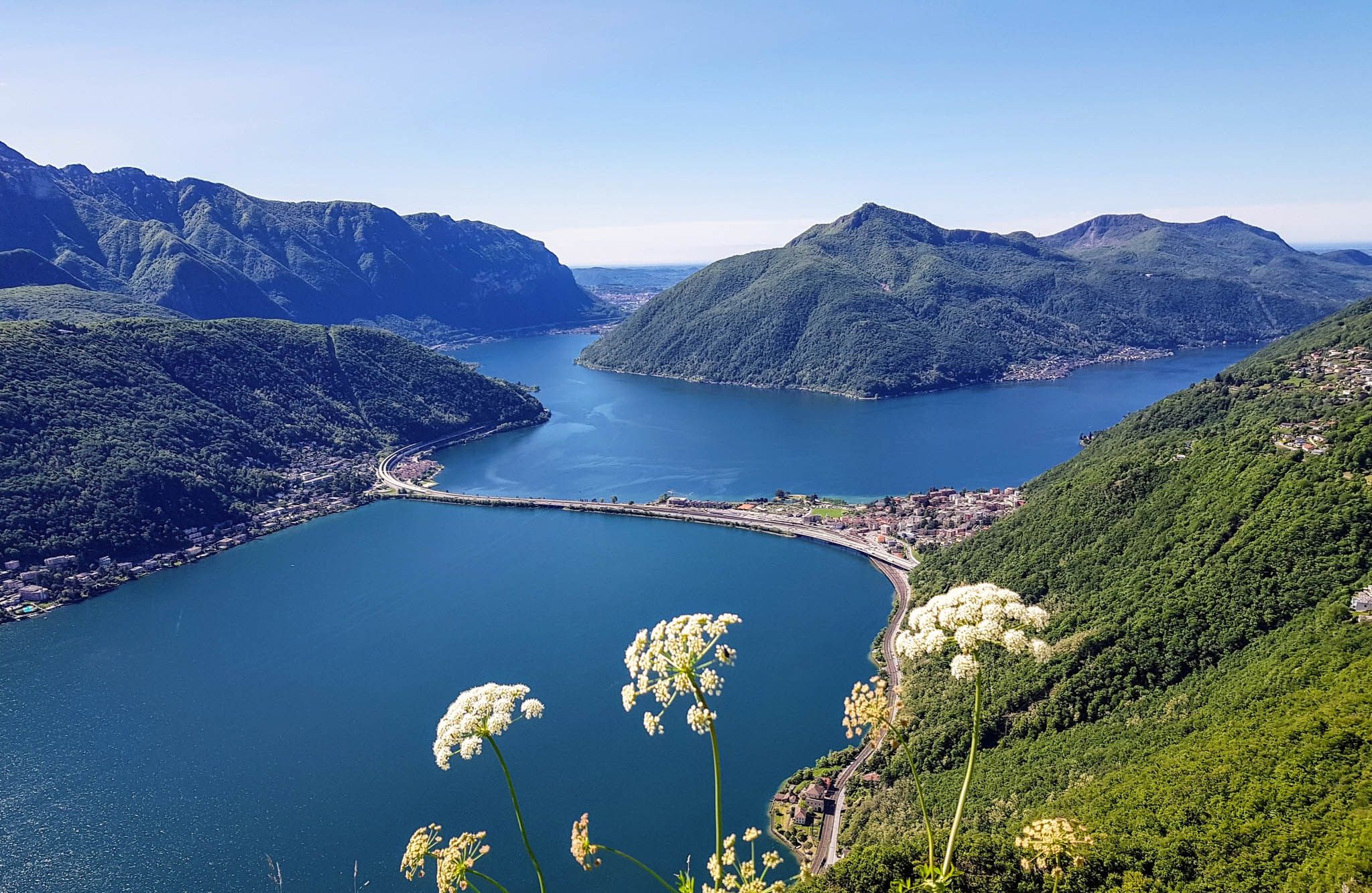
Sentiero Lago di Lugano – Between summits and lakes

Trans Swiss Trail – Hiking across Switzerland

Via Gottardo – Following historic trails
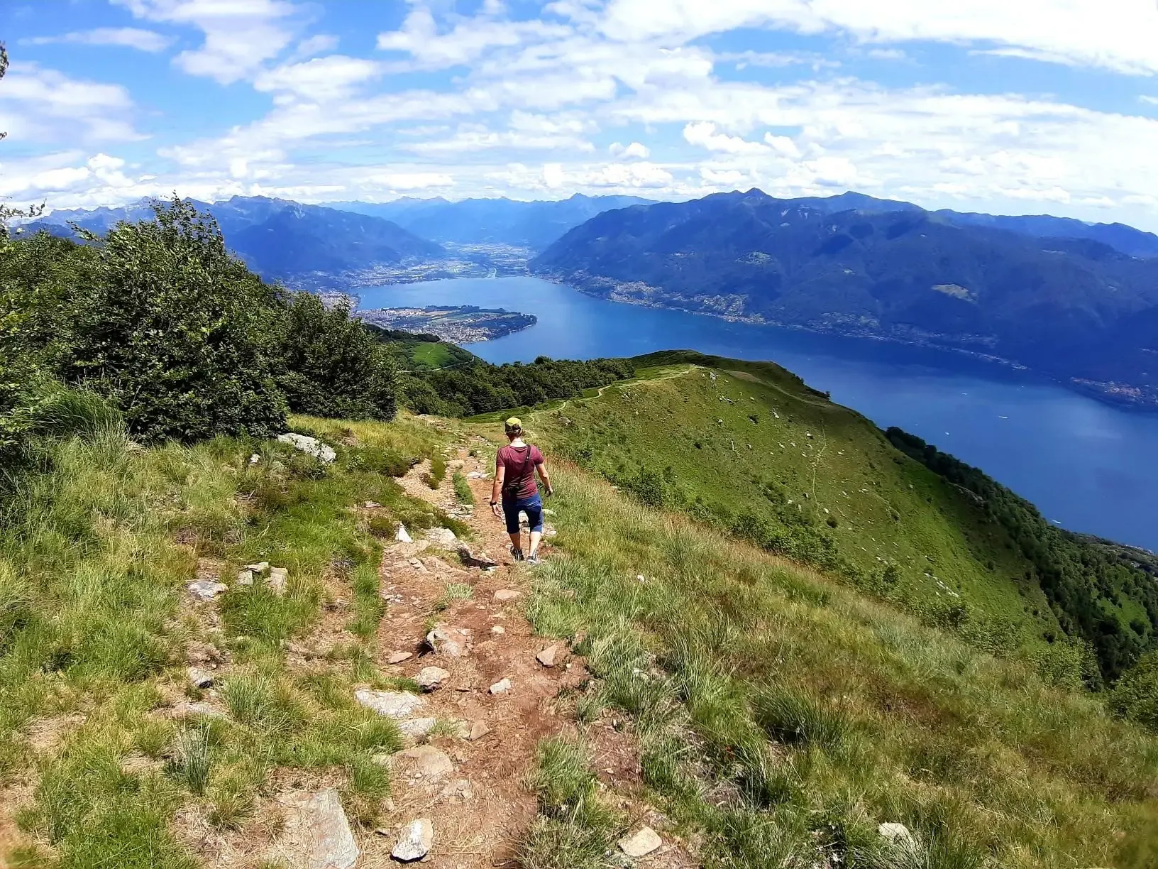
Autumn magic – vibrant, scenic hikes in Ticino
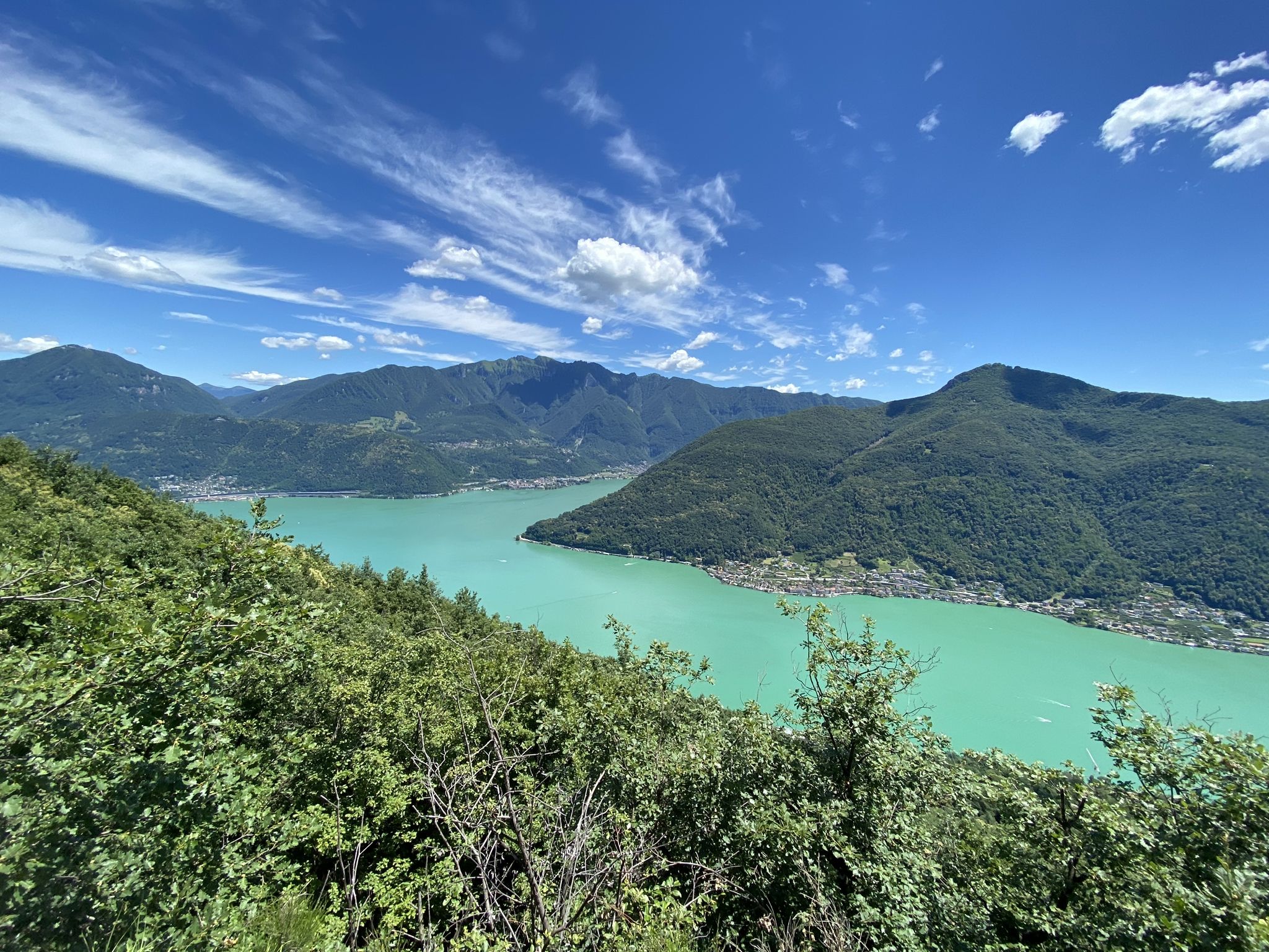
Trails with friends – komoot hiking relay through Ticino in Switzerland
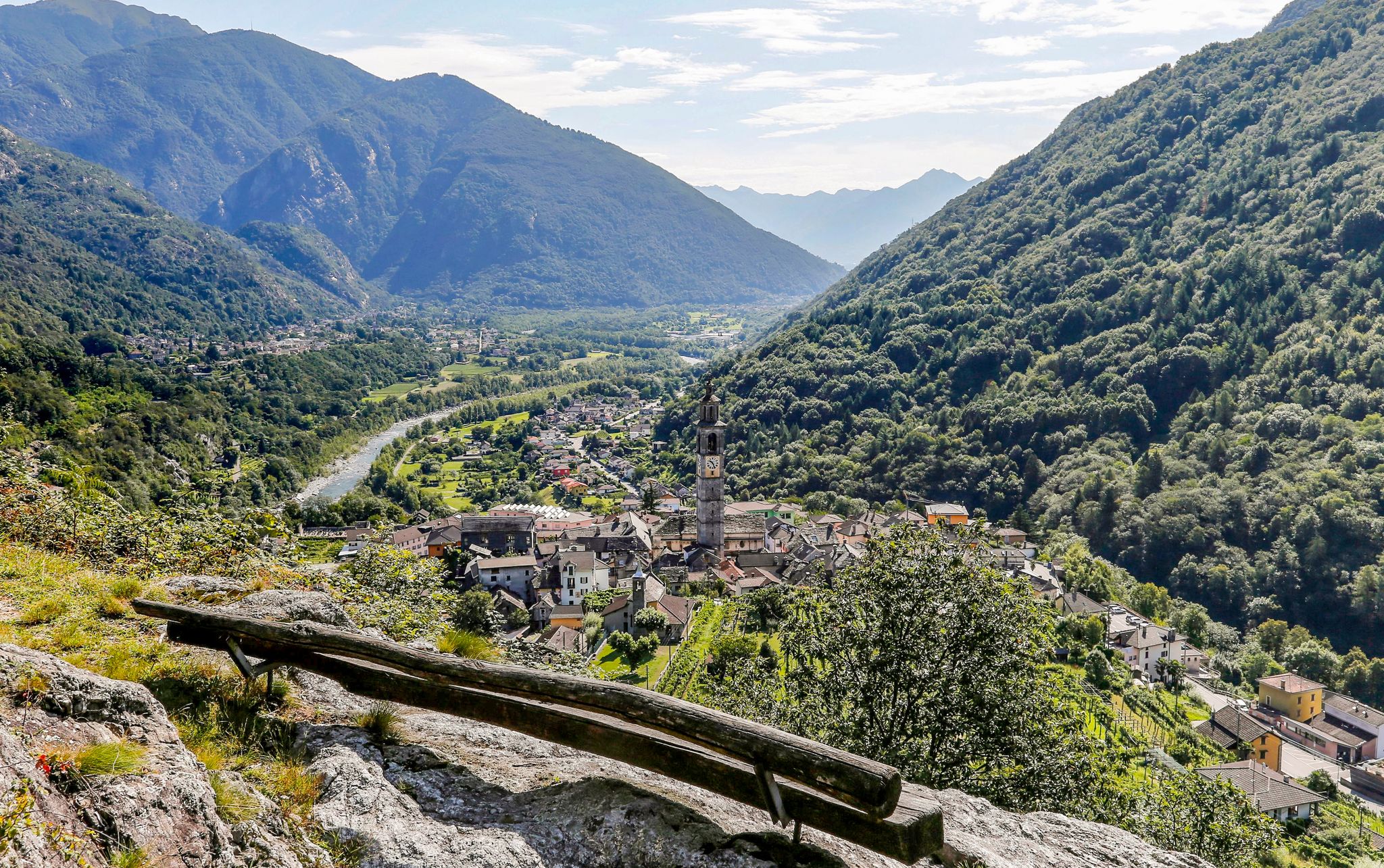
3 days in mediterranean Ticino - Blogger Hike Challenge 2019
Ticino — Between heaven and formaggini

Every cycling trip is a little holiday – bike to work Challenge 2026
Other adventures around Distretto di Lugano


Tips from the Community


This beautiful lakeside path between Castagnola and Gandria (the "Sentiero di Gandria") is perfect for a stroll. I would advise against using a bike (the path is quite narrow, and there's a rather long staircase before Gandria). It's about 1600m from the (small!) car park in Castagnola to the car park in Gandria. A walk can be combined with a boat trip (e.g., from Gandria back to Lugano, or vice versa) (timetable: https://www.lakelugano.ch/de). Just before the start in Castagnola is Villa Helenum with a beautiful small park right on the lake. About 250m after the start, you reach one of Lugano's swimming pools, the Lido San Domenico, with a small grassy bathing area (info and prices: https://www.lugano.ch/vivere-lugano/cultura-e-tempo-libero/lidi-e-piscine/lido-san-domenico/). Approximately halfway (700m from the start in Castagnola), there is a public toilet and a drinking water fountain. A few meters further is the restaurant Elvezia with a terrace right on the lake and a stop for excursion boats ("Grotto Elvezia"). From the start in Castagnola, the first 1200m are flat and only a few meters above the lake. After 1200m, shortly before the village of Gandria, you climb a long staircase. At the top of the stairs, you have a wonderful view over the lake, including Monte San Salvatore in the background (and a cactus in the foreground). The destination, Gandria, is a beautiful village with a church worth seeing, many narrow alleys and stairs, several restaurants, some with terraces and lake views, and a stop for excursion boats.
0
0

Fascinating landscape, always worth a trip 👌👍
0
0

The Gandrigna farmstead offers beautiful views of Lake Lugano and the striking mountains (most beautiful without the haze).
1
0

We recommend only walking as far as Parco de Olivio. From there, the path only goes up and down between houses. No more views of the lake.
0
1

Beautiful bench with a view of the Magadino plain
5
0
Magnificent 360-degree panoramic view
6
0

Nice, I had to get off the bike a few times because of the stairs, narrow, you can't pedal through them.
0
0
Frequently Asked Questions
How many bus station hiking trails are available in Distretto di Lugano?
There are over 490 hiking trails in the Distretto di Lugano region that are easily accessible by bus, offering a wide range of options for all skill levels. This includes approximately 160 easy routes, 240 moderate routes, and nearly 90 difficult trails.
Are there any circular hiking routes accessible by bus in Distretto di Lugano?
Yes, many routes are designed as loops, allowing you to start and end at the same bus stop. For example, the Path Cima di Medeglia – loop is a moderate 11.5 km circular hike offering scenic views. Another option is the easy Gandria Village on Lake Lugano – Olive Grove Park loop from Gandria, which takes you through charming villages and olive groves.
What kind of natural features or landmarks can I expect to see on these bus-accessible trails?
The trails often lead through diverse landscapes, from lake views to mountain panoramas and lush forests. You might encounter stunning waterfalls like the Pevereggia Waterfalls, or explore unique geological formations such as the Franscinone Gorge. Many routes also pass through picturesque villages like Gandria and Brè, offering a glimpse into local culture.
Are there any family-friendly hiking options from bus stations?
Absolutely. The region offers numerous easy trails suitable for families. The Novaggio Murals – Al Maglio waterfall loop from Curio is an easy 5.9 km route that combines cultural interest with natural beauty, including a waterfall. The Gandria Village on Lake Lugano – Olive Grove Park loop from Gandria is another excellent easy option, perfect for a leisurely family stroll along the lake.
Can I bring my dog on these bus-accessible hiking trails?
Many trails in Distretto di Lugano are dog-friendly, but it's always recommended to check local regulations for specific areas or nature reserves. Generally, dogs are welcome on leashes. Remember to carry water for your pet and clean up after them. Trails through forests and along quieter paths are often ideal for walks with dogs.
Are there any trails that offer mountain hut experiences or places to eat along the way?
Yes, some routes lead to or pass by traditional mountain huts (grotti) or restaurants. For instance, the moderate Capanna Monte Bar hike takes you to a mountain hut where you can enjoy local delicacies. You might also find charming grottos like Grotto Sgambada or Grotto del Pep near some trailheads, perfect for a post-hike meal.
What is the best time of year to hike from bus stations in Distretto di Lugano?
The Distretto di Lugano region is beautiful for hiking from spring through autumn. Spring brings blooming flowers and mild temperatures, while autumn offers stunning foliage, especially in the chestnut forests. Summer is also popular, but it can be warm, so early morning or late afternoon hikes are recommended. Some lower-elevation trails may be accessible in winter, but higher mountain paths can be covered in snow.
What do other hikers enjoy most about hiking in Distretto di Lugano?
The komoot community highly rates the hiking experiences in Distretto di Lugano, with an average score of 4.6 out of 5 stars from over 5,900 ratings. Reviewers often praise the stunning panoramic views of Lake Lugano and the surrounding mountains, the well-maintained and clearly signposted trails, and the charming villages encountered along the routes.
Are there any challenging hikes accessible by bus for experienced hikers?
Yes, for experienced hikers seeking a challenge, there are difficult routes available. While not explicitly listed here, the region offers trails with significant elevation gain and longer distances. For example, the Path Cima di Medeglia – loop, at 11.5 km with over 760 meters of ascent, provides a moderate challenge, and many other routes offer even greater demands.
Can I find trails that offer views of Lake Lugano?
Absolutely. Many bus-accessible trails in Distretto di Lugano boast spectacular views of Lake Lugano. The Gandria Village on Lake Lugano – Olive Grove Park loop from Gandria and the Brè Village – Gandria Village on Lake Lugano loop from Gandria are excellent examples, offering continuous vistas of the shimmering waters and the picturesque villages nestled along its shores.
Most popular routes around Distretto di Lugano
Most popular attractions around Distretto di Lugano

Get inspired with the komoot mobile app


Didn’t find what you were looking for?
Check out more Hikes throughout Distretto di Lugano below and find the perfect route in your destination.
Explore more
Browse the best Hikes in other regions.
