The best hikes from bus stations around Bezirk Spittal an der Drau
4.5
(28735)
138,597
hikers
986
hikes
Bus station hiking trails around Bezirk Spittal an der Drau traverse a diverse landscape, ranging from the high-alpine terrain of the Hohe Tauern National Park with its glacial valleys and towering peaks, to the gentle, rounded mountains and alpine pastures of the Nockberge Biosphere Park. The region is also characterized by picturesque lakes such as Lake Millstatt and Lake Weissensee, dramatic gorges like the Ragga Gorge, and the scenic Drau Valley. This varied topography offers a wide array of hiking experiences, from riverside paths to mountain ascents.
Best bus station hiking trails around Bezirk Spittal an der Drau
- The most popular bus station hiking route is Ragga Gorge Trail, a 2.2 miles (3.5 km) trail that takes 1 hour 19 minutes to complete. This easy circular route leads through a dramatic gorge with waterfalls and unique rock formations.
- Another top favourite among local hikers is North shore trail at Lake Weissensee, a moderate 10.9 miles (17.6 km) path. This trail offers extensive lake views along the shores of Lake Weissensee.
- Local hikers also love the Carinthia: Hike into Seebachtal – Hohe Tauern National Park, a 5.5 miles (8.8 km) trail leading through the Hohe Tauern National Park, often completed in about 2 hours 20 minutes.
- Hiking around Bezirk Spittal an der Drau is defined by glacial valleys, gentle alpine pastures, and scenic lake shores. The network offers options for different ability levels, from easy walks to challenging mountain ascents.
- The routes in Bezirk Spittal an der Drau are highly rated by the komoot community with an average score of 4.6 stars from more than 25,000 reviews. More than 129,000 hikers have used komoot to explore Bezirk Spittal an der Drau's varied terrain.
Last updated: August 28, 2026
4.8
(521)
2,852
hikers
3.49km
01:19
240m
240m
Easy hike. Great for any fitness level. Easily-accessible paths. Suitable for all skill levels.
4.8
(470)
2,101
hikers
17.7km
04:32
80m
80m
Moderate hike. Good fitness required. Easily-accessible paths. Suitable for all skill levels.

Sign up for free
4.8
(441)
1,720
hikers
8.81km
02:20
90m
90m
Moderate hike. Good fitness required. Easily-accessible paths. Suitable for all skill levels.
4.8
(437)
1,673
hikers
9.51km
02:32
100m
100m
Moderate hike. Good fitness required. Easily-accessible paths. Suitable for all skill levels.
4.7
(198)
852
hikers
16.3km
05:33
650m
650m
Hard hike. Very good fitness required. Sure-footedness, sturdy shoes and alpine experience required.
Get access to more routes and recommendations from other explorers.
Sign up for free
Already have an account?
Our route recommendations are based on thousands of hikes, rides, and runs completed by other people on komoot.
Start today with a free account
Your next adventure awaits.
Login or Signup
Popular around Bezirk Spittal an der Drau

Hikes from bus stations around Weissensee

Hikes from bus stations around Millstätter See
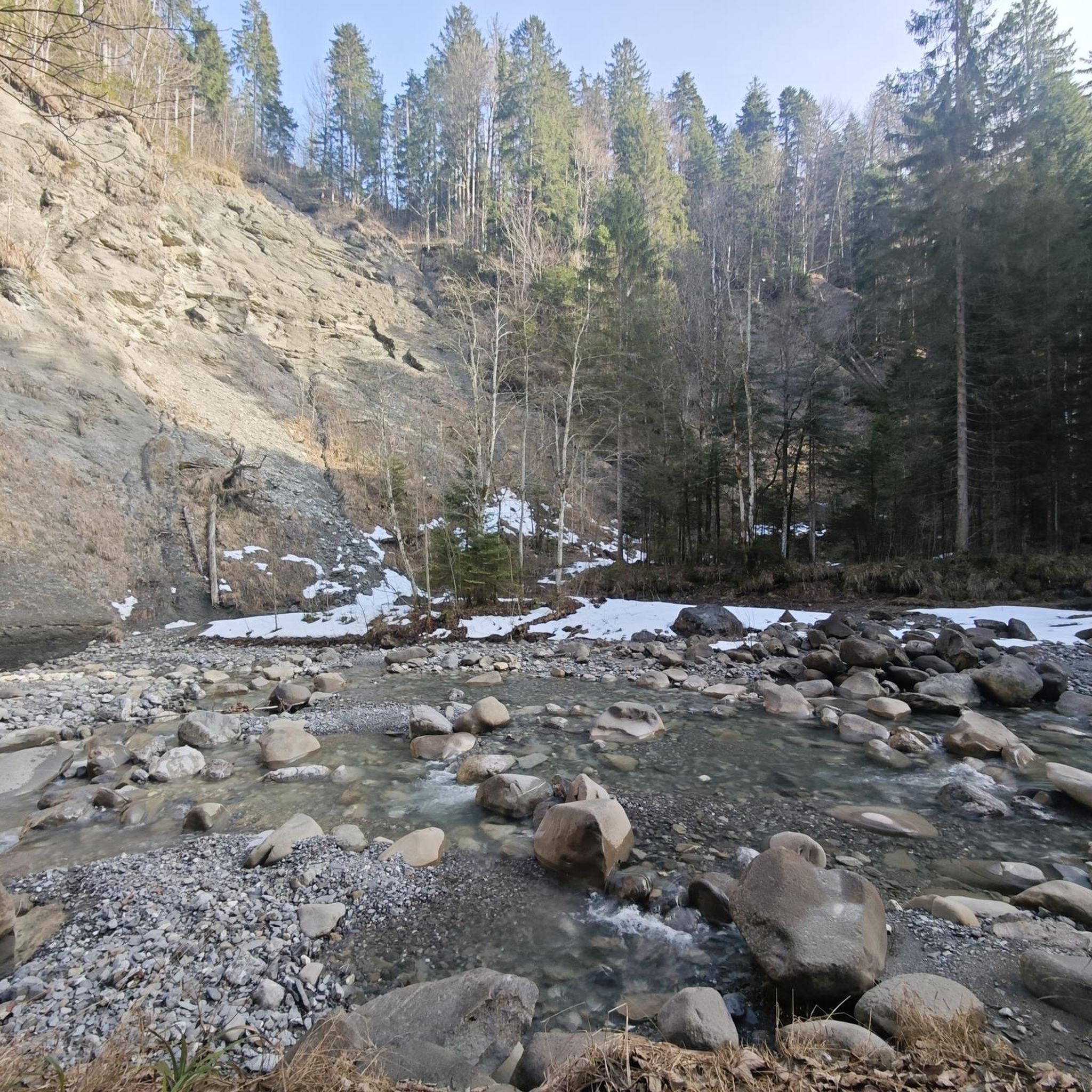
Hikes from bus stations around Dösner Lake

Hikes from bus stations around Weißensee
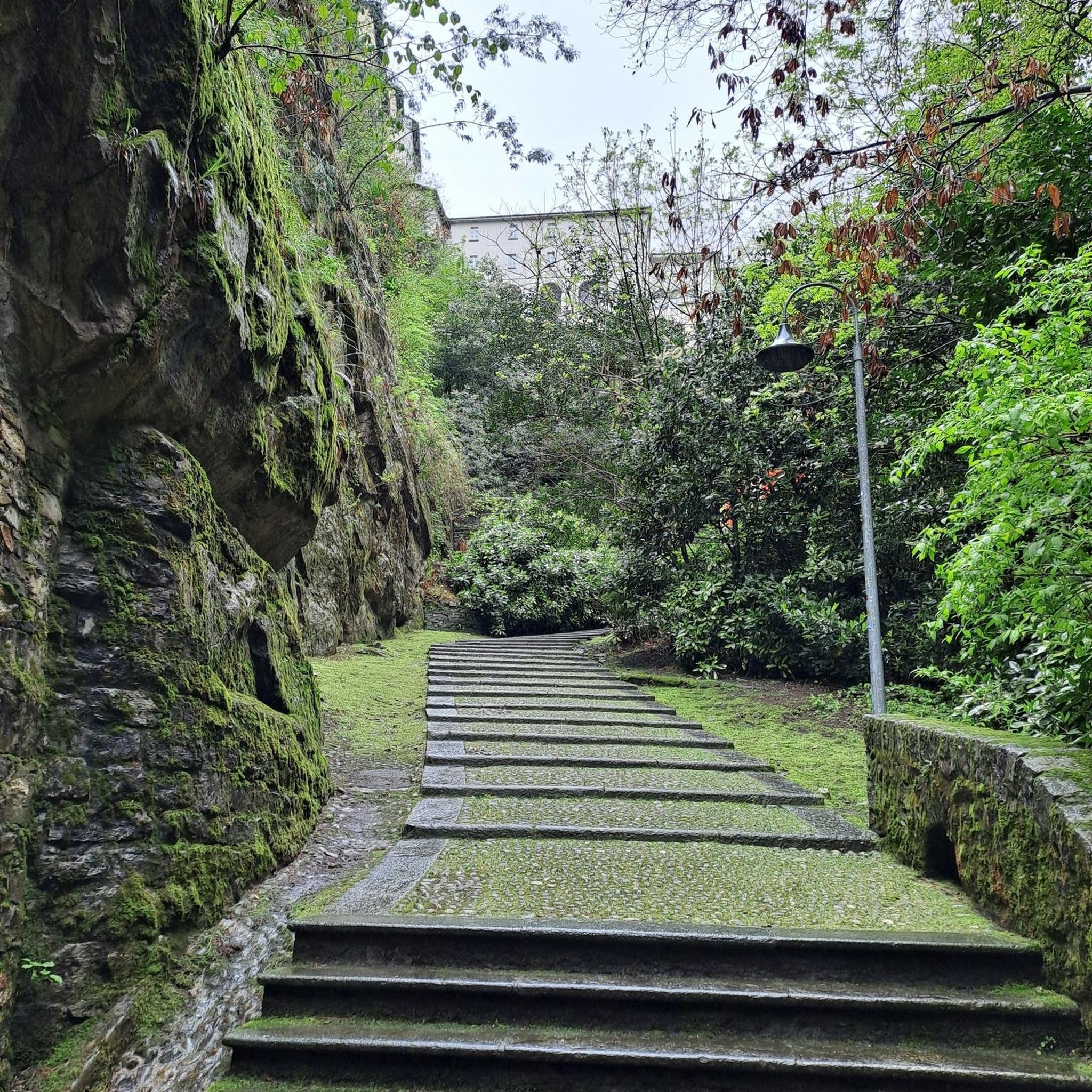
Hikes from bus stations around Heiligenblut am Großglockner
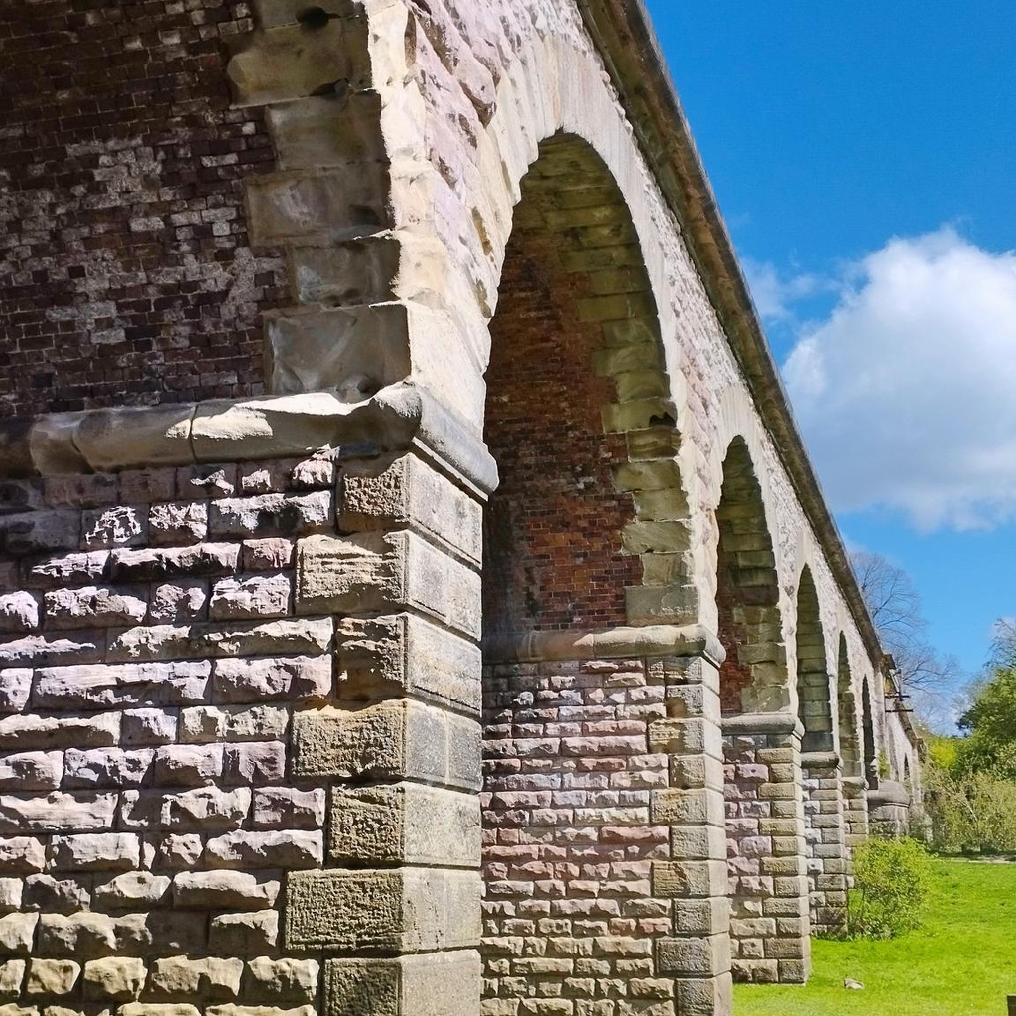
Hikes from bus stations around Millstatt am See
Hikes from bus stations around Radenthein

Hikes from bus stations around Rennweg am Katschberg

Hikes from bus stations around Obervellach
Hikes from bus stations around Greifenburg
Other adventures around Bezirk Spittal an der Drau


Tips from the Community

A great resting and bathing spot. We enjoyed it very much. The board in front of the hut is ideal for sunbathing and drying off 😉.
3
0


Lake Stappitz was formed at the end of the last ice age.
0
0
a very beautiful impressive waterfall
0
0
impressive to see five waterfalls at once
0
0
super beautiful view into the distance....
0
0


From here you have a great view of the Raggaschlucht.
0
0
Frequently Asked Questions
How many bus station hiking trails are available in Bezirk Spittal an der Drau?
There are over 990 hiking trails in Bezirk Spittal an der Drau that are accessible from bus stations. This includes a wide range of options, from easy strolls to challenging mountain ascents.
What is the best time of year for bus-accessible hiking in Bezirk Spittal an der Drau?
The region is especially enjoyable for hiking during spring, summer, and early autumn when temperatures are pleasant and nature is vibrant. Many trails, particularly in higher elevations, are best accessed during these months.
What do other hikers say about the bus-accessible trails in this region?
The bus-accessible trails in Bezirk Spittal an der Drau are highly rated by the komoot community, with an average score of 4.57 stars from over 25,000 ratings. Hikers often praise the diverse landscapes, from gentle lake shores to dramatic gorges and alpine peaks, all conveniently reachable by public transport.
Are there easy bus-accessible hikes suitable for beginners or families?
Yes, there are over 320 easy bus-accessible routes. A great option for families or beginners is the Ragga Gorge Trail, an easy circular hike that leads through a dramatic gorge with waterfalls and unique rock formations. The Hike into Seebachtal – Hohe Tauern National Park is another moderate, yet accessible option with minimal elevation gain.
Are there challenging bus-accessible hikes for experienced hikers?
Yes, for experienced hikers seeking a challenge, there are over 200 difficult bus-accessible routes. One such demanding trail is the Weissensee via the Naggler Alm to the Kohlröslhütte and back, which offers significant elevation gain and stunning views.
Can I find bus-accessible circular routes in the region?
Absolutely. Many bus-accessible trails are designed as circular routes, allowing you to start and end at the same bus stop. The Ragga Gorge Trail is a prime example of a scenic circular hike.
Are there bus-accessible hikes that offer lake views?
Yes, Bezirk Spittal an der Drau is home to beautiful lakes. The North shore trail at Lake Weissensee offers extensive lake views. You can also find scenic walks around Lake Millstatt, providing picturesque lakeside experiences.
What kind of natural attractions can I explore on bus-accessible hikes?
The region boasts diverse natural attractions. You can explore dramatic gorges like the Ragga Gorge, discover the unique geology of the Granattor, or enjoy the serene beauty of lakes such as Lake Millstatt and Lake Weissensee. The Maltatal is also known for Carinthia's highest waterfall, the Fallbach.
Are there bus-accessible trails within the Hohe Tauern National Park?
Yes, a significant portion of the district lies within the Hohe Tauern National Park, offering numerous bus-accessible trails. The Hike into Seebachtal and the Seebachtal nature trail are excellent examples of routes that allow you to discover this stunning high-alpine landscape. For more information on hiking in the national park, visit nationalpark-hohetauern.at.
Can I find bus-accessible trails in the Nockberge Biosphere Park?
Yes, the Nockberge Biosphere Park, known for its gentle, rounded mountains and expansive alpine pastures, offers unique hiking experiences. While specific bus-accessible routes are best checked locally, the park is well-integrated into the regional public transport network. You can learn more about the park at visitcarinthia.at.
Are dogs allowed on bus-accessible hiking trails in Bezirk Spittal an der Drau?
Generally, dogs are welcome on most hiking trails in Bezirk Spittal an der Drau, provided they are kept on a leash, especially in nature protection areas, near livestock, or in crowded sections. Always check local regulations for specific trails or national park areas, as rules can vary.
Most popular routes around Bezirk Spittal an der Drau
Most popular attractions around Bezirk Spittal an der Drau

Get inspired with the komoot mobile app


Didn’t find what you were looking for?
Check out more Hikes throughout Bezirk Spittal an der Drau below and find the perfect route in your destination.
Explore more
Browse the best Hikes in other regions.
