The best traffic-free bike rides around Dienten am Hochkönig
4.5
(178)
4,993
riders
12
rides
No traffic road cycling routes around Dienten am Hochkönig traverse a landscape characterized by the majestic Hochkönig massif and the karstified Steinernes Meer. The region features a blend of rugged peaks, serene alpine meadows, and dense forests, providing varied terrain for road cyclists. Routes often include significant elevation gains, winding through valleys and offering views of the surrounding limestone peaks.
Best no traffic road cycling routes around Dienten am Hochkönig
- The most popular no traffic road cycling route is Lake…
Last updated: July 10, 2026
4.7
(40)
1,179
riders
44.6km
01:59
260m
260m
Easy road ride. Great for any fitness level. Mostly well-paved surfaces and easy to ride.
4.7
(9)
255
riders
Easy road ride. Great for any fitness level. Mostly well-paved surfaces and easy to ride.

Sign up for free
4.7
(3)
77
riders
31.5km
01:51
740m
730m
Moderate road ride. Good fitness required. Mostly well-paved surfaces and easy to ride.
4.0
(3)
46
riders
26.8km
01:31
500m
500m
Moderate road ride. Good fitness required. Some segments of this route may be unpaved and difficult to ride.
5.0
(1)
39
riders
20.9km
01:10
430m
430m
Moderate road ride. Good fitness required. Some segments of this route may be unpaved and difficult to ride.
Get access to more routes and recommendations from other explorers.
Sign up for free
Already have an account?
Our route recommendations are based on thousands of hikes, rides, and runs completed by other people on komoot.
Start today with a free account
Your next adventure awaits.
Login or Signup
Popular around Dienten am Hochkönig

North Alpine Trail 01 – Hike across Austria in 49 days
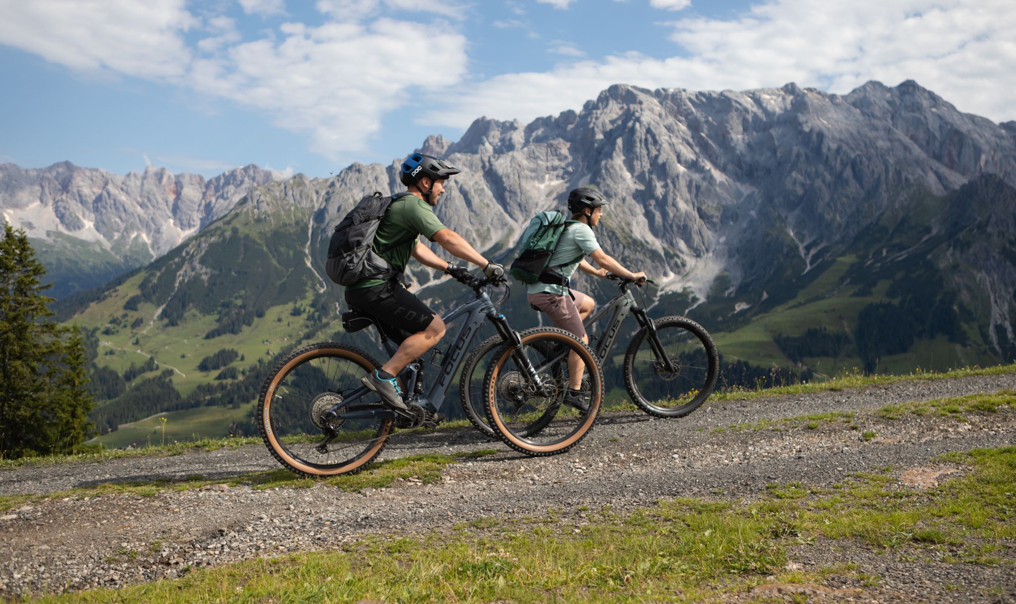
Peak happiness in the Hochkönig E-Bike paradise
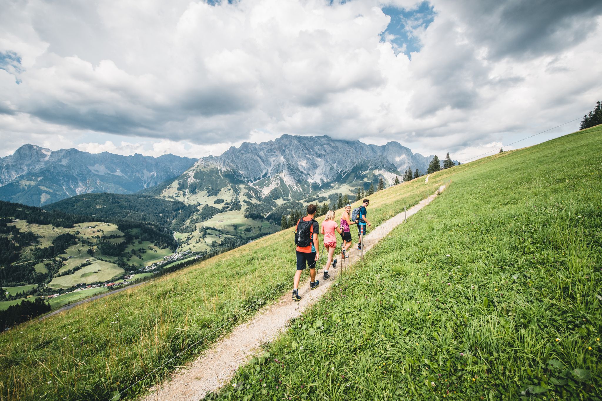
Glorious autumn hiking around the Hochkönig
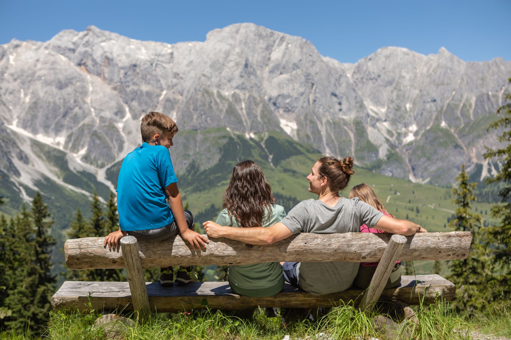
Games, fun and nature – family hikes at Hochkönig
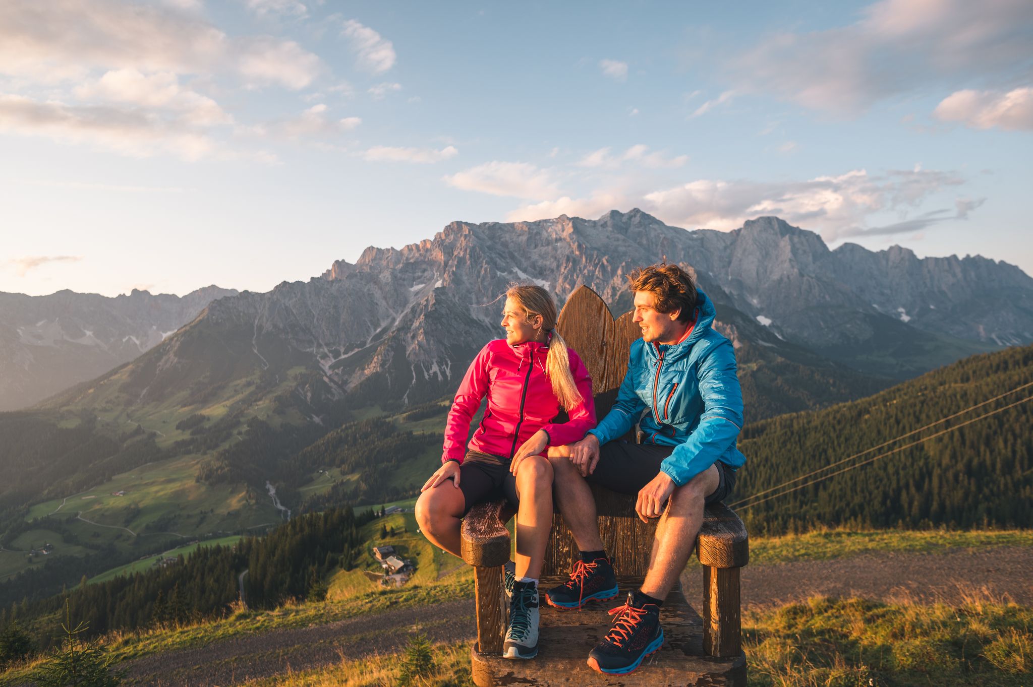
The great awakening – spring hikes on the Hochkönig
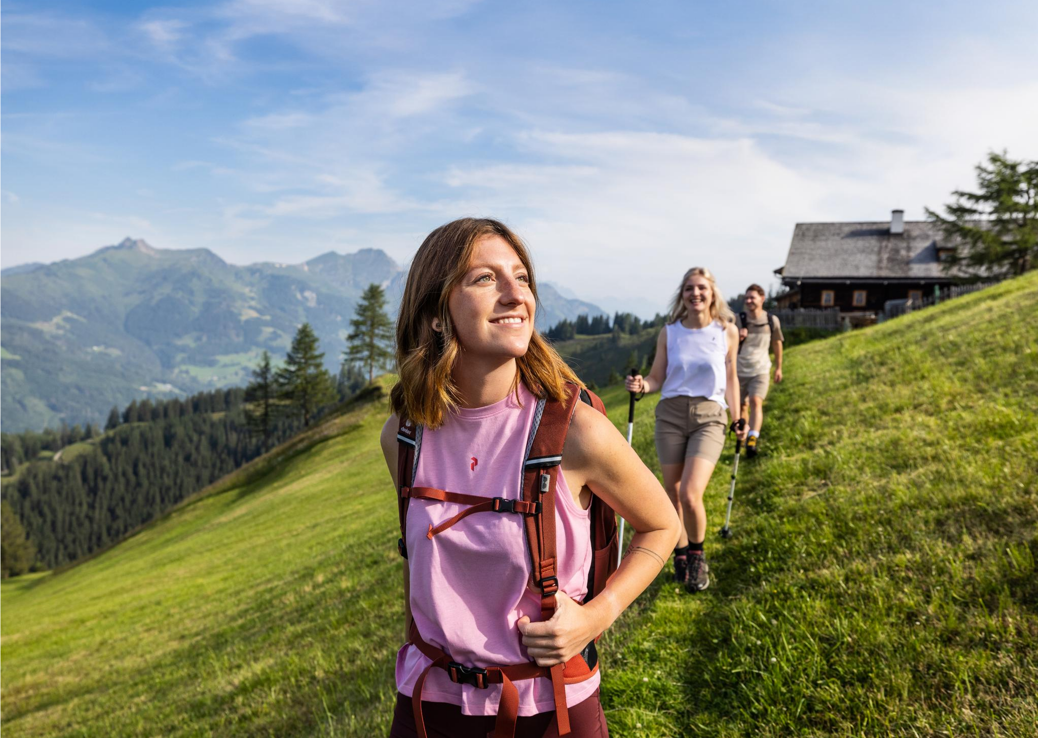
Salzburg’s most beautiful sides – 25 stages on the Salzburger Almenweg
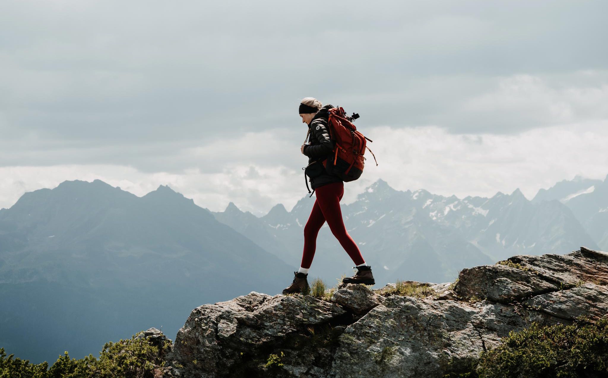
Happy moments on long-distance hikes – hiking summer of your life
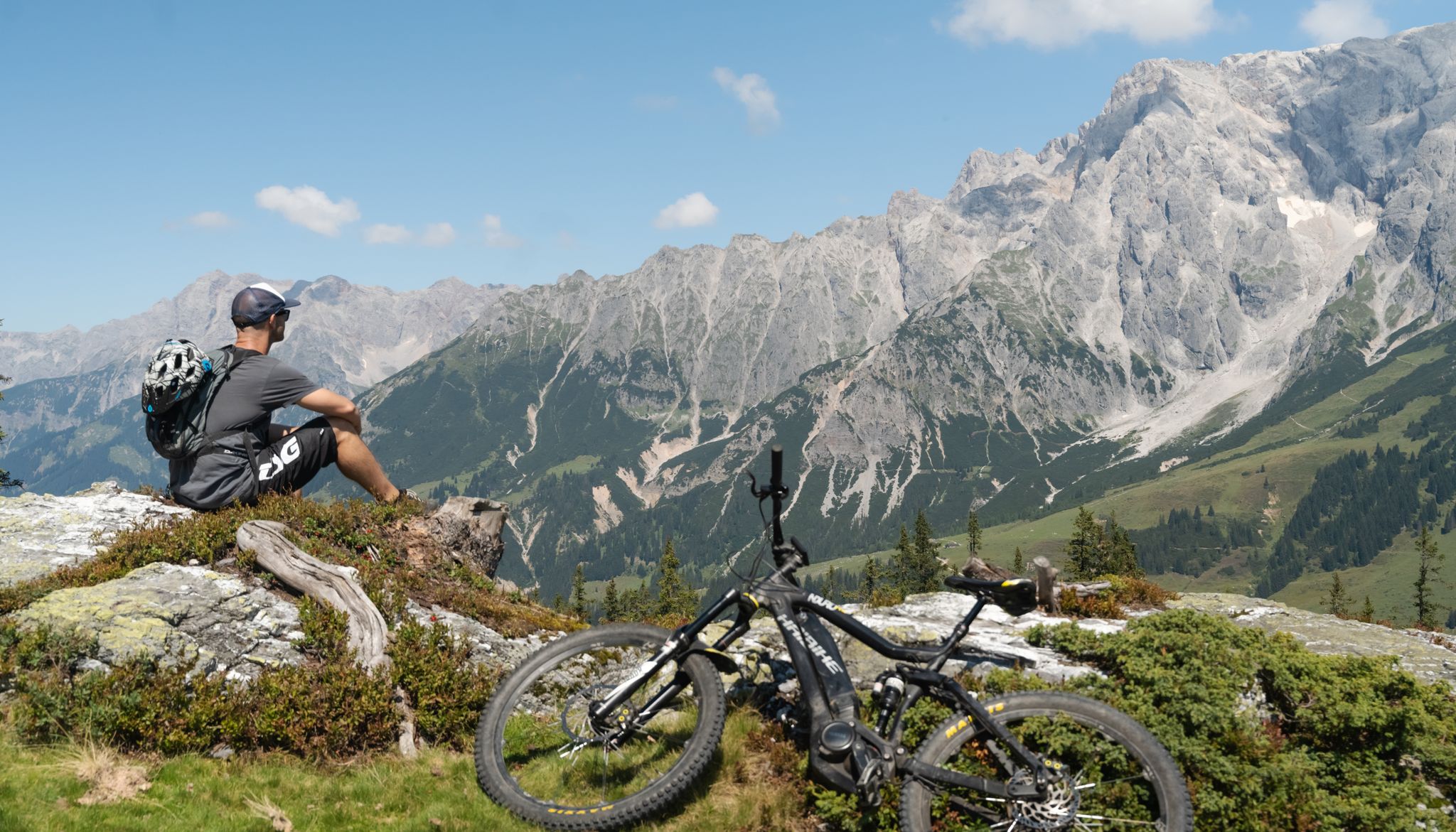
Bike, enjoy the view, repeat – 12 Tours on Austria’s Hochkönig
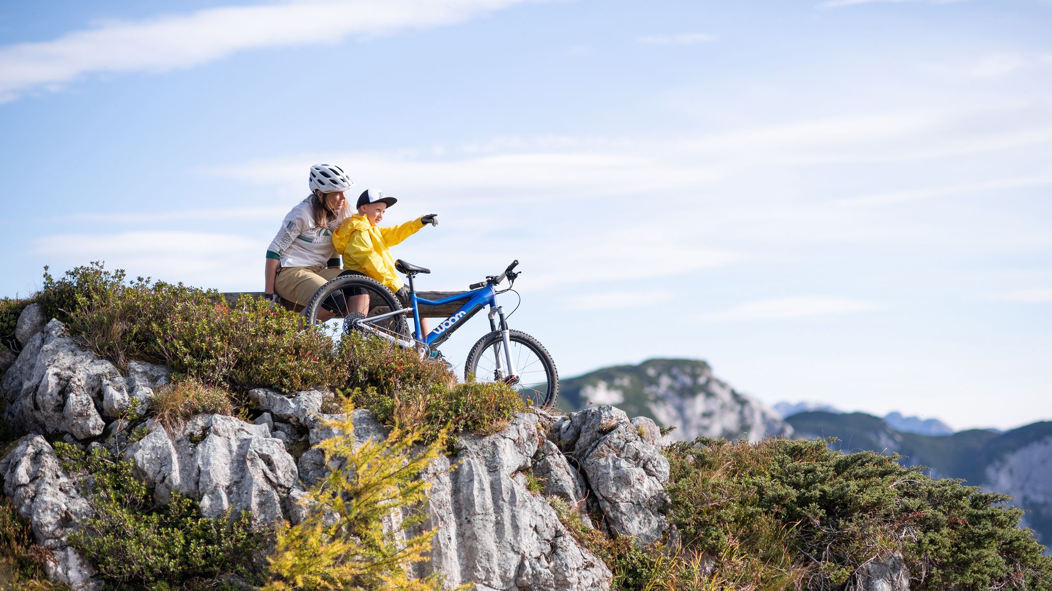
Discover Austria’s most beautiful family cycle paths with woom
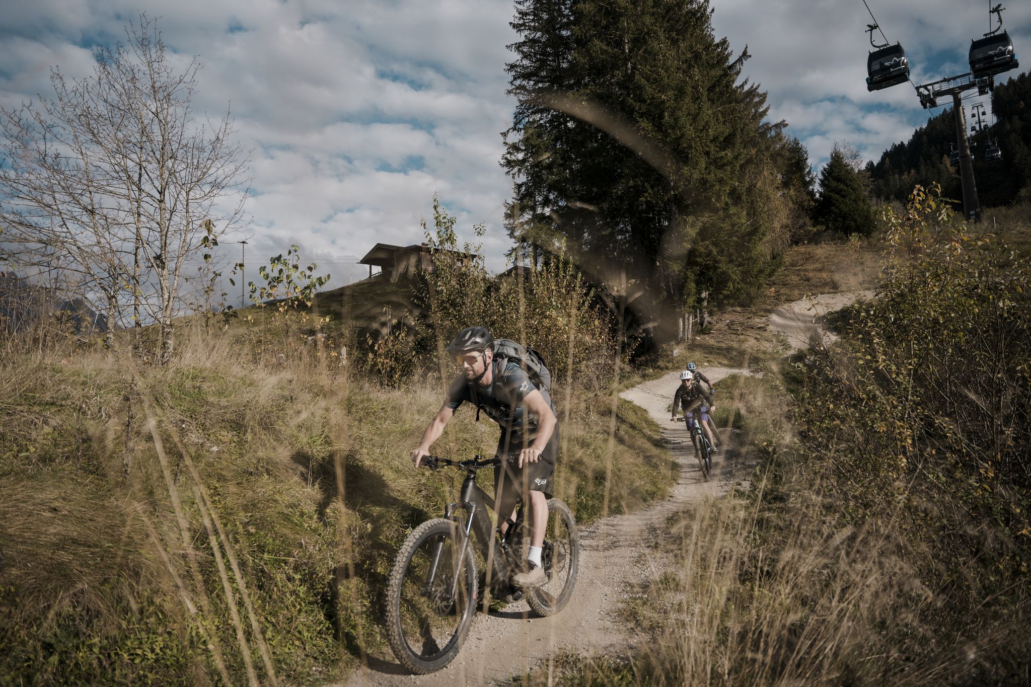
Drei Tage, drei Orte, drei Trophäen – Königstour Bike
Other adventures around Dienten am Hochkönig


Tips from the Community

The Zeller See, which is bordered to the west by the Schmittenhöhe (1965 m) and to the east by the Hundstein (2116 m), lies in the scouring of a north-south oriented, tectonically predetermined transverse valley to the Salzachtal by the ice masses of the northern Glocknergruppe. It was formed from the end of the Bühl-Stadial to the Steinach-Stadial, around 17,000 years ago. The existing body of water today, whose northern part is filled with fluviatile gravel from the Saalach and the southern part from the Salzach, is the remainder of a lake that, in the Late Glacial period, extended as far as Saalfelden and filled the adjoining Salzach longitudinal valley to the south. The lake level is likely to have been above 800 m. From 16,000 to about 10,000 BC, the water level was between 760 m until it finally dropped to the current level of 749.7 m above sea level.
0
0


Swimming in the lake is worthwhile - a mud bath always feels good ;)
0
0

Small lake, right in front of Goldegg's door
1
0

Little traffic, very good asphalt - ideal for racing bikes
0
0

Frequently Asked Questions
How many no-traffic road cycling routes are available in Dienten am Hochkönig?
Dienten am Hochkönig offers a great selection of no-traffic road cycling routes. You'll find over 10 routes specifically curated for a peaceful ride away from cars, ranging from easy to moderate difficulty.
Are there any easy no-traffic road cycling routes for beginners or those seeking a relaxed ride?
Yes, there are several easy no-traffic routes perfect for beginners or a leisurely pace. For example, the Lake Zell – Lake Zell loop from Maria Alm am Steinernen Meer offers a gentle ride with minimal elevation gain. Another great option is the View of the Steinernes Meer – Maria Alm loop from Maria Alm am Steinernen Meer, which is also classified as easy.
What kind of natural features and scenic viewpoints can I expect along these routes?
The no-traffic road cycling routes in Dienten am Hochkönig are set against the stunning backdrop of the Hochkönig massif and the karstified Steinernes Meer. You can expect breathtaking views of rugged peaks, serene alpine meadows, and dense forests. Many routes offer panoramic vistas of the surrounding mountains and valleys, with highlights like the View of Lake Goldegg providing picturesque stops.
Are there any historical landmarks or attractions near the no-traffic cycling routes?
Absolutely! The region is rich in history and natural beauty. While cycling, you might pass by or be near attractions such as Klammstein Castle or Schernberg Castle. The dramatic Kitzlochklamm Gorge is also a notable natural landmark in the wider area, offering impressive rock formations and bridges.
What is the best time of year to enjoy no-traffic road cycling in Dienten am Hochkönig?
The best time for no-traffic road cycling in Dienten am Hochkönig is typically from late spring to early autumn. During these months, the weather is generally mild, and the alpine landscapes are at their most vibrant. The region's sunny alpine meadows and clear mountain air make for ideal cycling conditions.
Are there parking options available for cyclists near the starting points of these routes?
Yes, Dienten am Hochkönig is well-equipped for outdoor enthusiasts. You'll find various parking options in and around the village, often near the starting points of popular cycling routes. It's always a good idea to check local signage for specific parking regulations and availability.
Can I find circular no-traffic road cycling routes in the area?
Many of the no-traffic road cycling routes around Dienten am Hochkönig are designed as circular loops, allowing you to start and end in the same location. For instance, the Lake Zell – Lake Zell loop from Maria Alm am Steinernen Meer is a great example of a circular route that brings you back to your starting point.
What do other cyclists say about the no-traffic road cycling experience here?
The no-traffic road cycling routes in Dienten am Hochkönig are highly regarded by the komoot community, with an average rating of 4.5 out of 5 stars from over 160 reviews. Cyclists frequently praise the stunning alpine scenery, the quiet roads, and the diverse range of routes suitable for different skill levels.
Are there any routes that pass by waterfalls?
While the immediate no-traffic road cycling routes might not directly pass by major waterfalls, the Dienten am Hochkönig region is home to impressive natural water features. The famous Kitzlochklamm Gorge, with its dramatic cascades, and the Röthbach Waterfall (Germany's highest) are notable attractions in the wider area that you could explore separately or combine with a cycling trip.
Are there any cafes or places to stop for refreshments along the no-traffic routes?
Yes, the Dienten am Hochkönig region is known for its traditional alpine hospitality. While specific cafes directly on every no-traffic route might vary, you'll often find charming villages or traditional alpine huts like the Erichhütte nearby, offering opportunities for a refreshing break and local cuisine. Planning your route with komoot can help you identify potential stops.
How can I reach the starting points of these routes using public transport?
Dienten am Hochkönig is accessible by public transport, primarily buses connecting to larger towns and train stations in the Salzburg region. While direct public transport access to every single route start might require some planning, the main village serves as a good hub. It's advisable to check local bus schedules to plan your journey to the desired starting point.
Most popular routes around Dienten am Hochkönig
Most popular attractions around Dienten am Hochkönig

Get inspired with the komoot mobile app


Explore more
Browse the best Road cycling routes in other regions.
