The best hikes from bus stations around Hartberg
4.5
(1089)
7,255
hikers
98
hikes
Hiking around Hartberg offers diverse landscapes, from rolling hills and dense forests to scenic vineyards and idyllic valleys. The region, situated in Styria, Austria, provides a variety of environments for outdoor activities. Trails often feature panoramic views of the surrounding countryside and mountains, with elevations ranging from gentle slopes to more challenging ascents.
Best bus station hiking trails around Hartberg
- The most popular bus station hiking route is Rest Area in Gmoos – Hartberger Gmoos loop from Hartberg, an…
Last updated: June 27, 2026
4.5
(46)
221
hikers
3.95km
01:01
10m
10m
Easy hike. Great for any fitness level. Easily-accessible paths. Suitable for all skill levels.
4.6
(9)
55
hikers
Moderate hike. Good fitness required. Easily-accessible paths. Suitable for all skill levels.

Sign up for free
4.8
(5)
52
hikers
26.0km
07:53
850m
850m
Hard hike. Very good fitness required. Easily-accessible paths. Suitable for all skill levels.
4.9
(7)
57
hikers
7.88km
02:02
40m
40m
Moderate hike. Good fitness required. Easily-accessible paths. Suitable for all skill levels.
5.0
(18)
47
hikers
10.9km
02:55
130m
130m
Moderate hike. Good fitness required. Easily-accessible paths. Suitable for all skill levels.
Get access to more routes and recommendations from other explorers.
Sign up for free
Already have an account?
Our route recommendations are based on thousands of hikes, rides, and runs completed by other people on komoot.
Start today with a free account
Your next adventure awaits.
Login or Signup
Popular around Hartberg
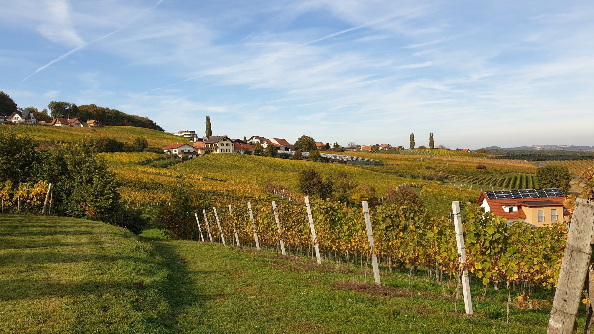
Hiking in Eastern Austria – Culinary delights, culture and charm

Discover Styria in Austria on foot – ‘From Glacier to Wine’ North Route
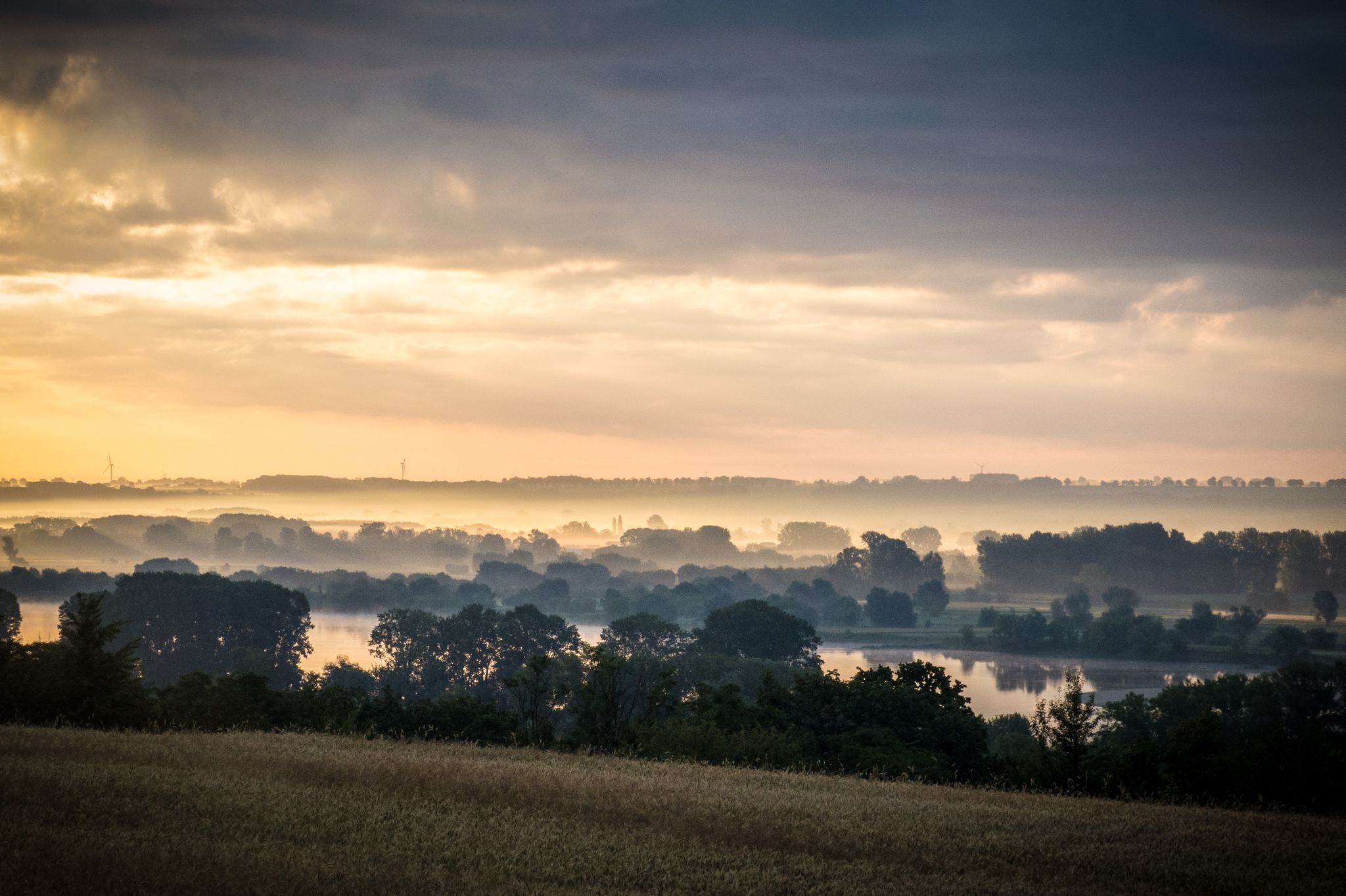
EuroVelo 9 – The Amber Route from the Baltic to Adriatic Sea
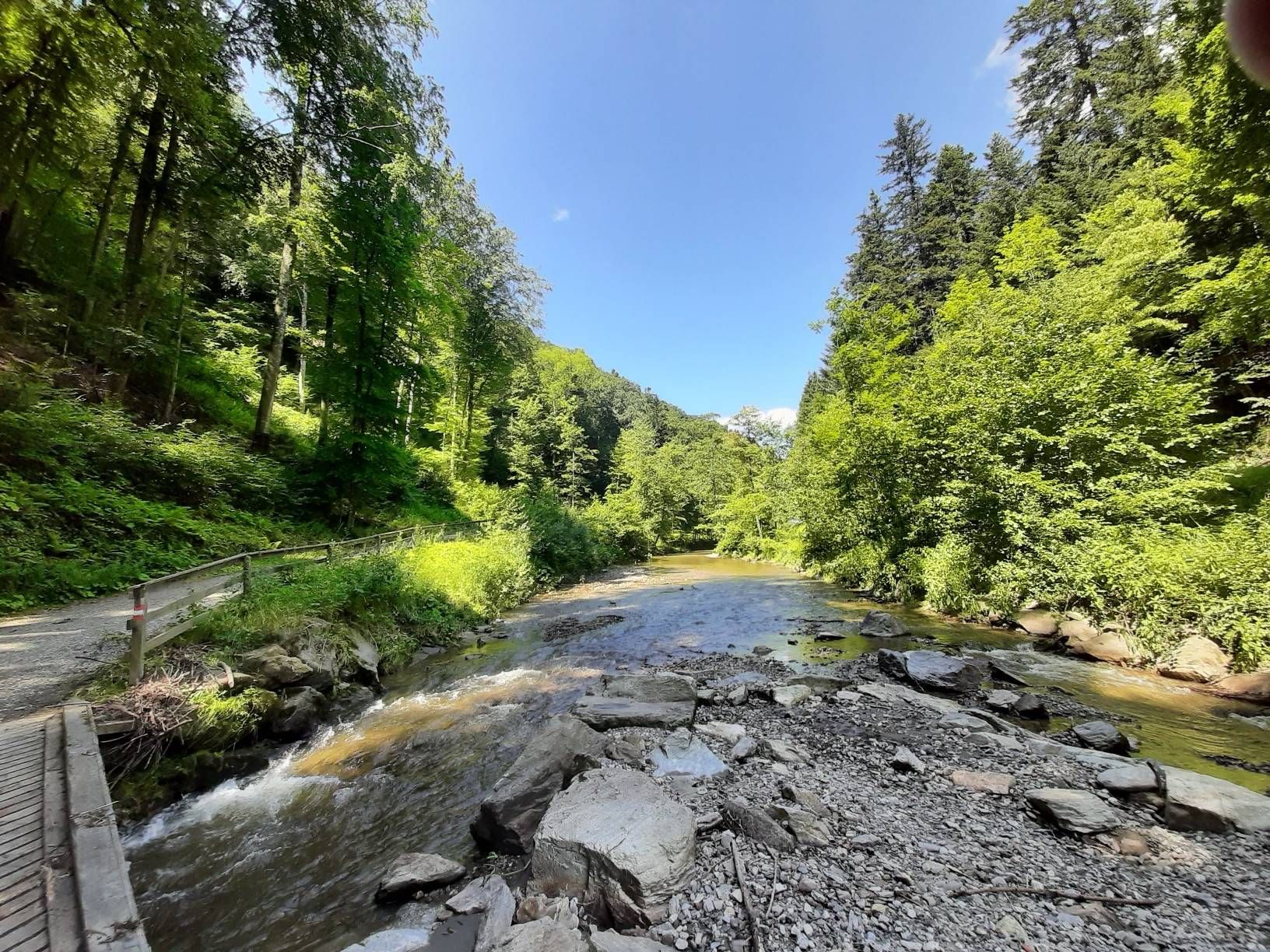
The Styrian Wine Country Cycle Trail – exploring Austria's wine culture

East Styria Loop – Styria Wine Country Cycle Tour
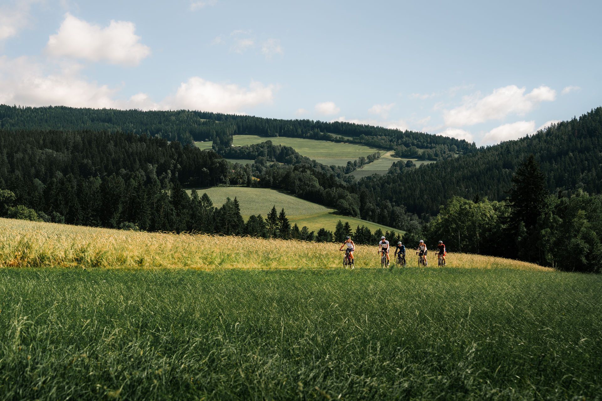
Spring awakening – through Eastern Styria on two wheels
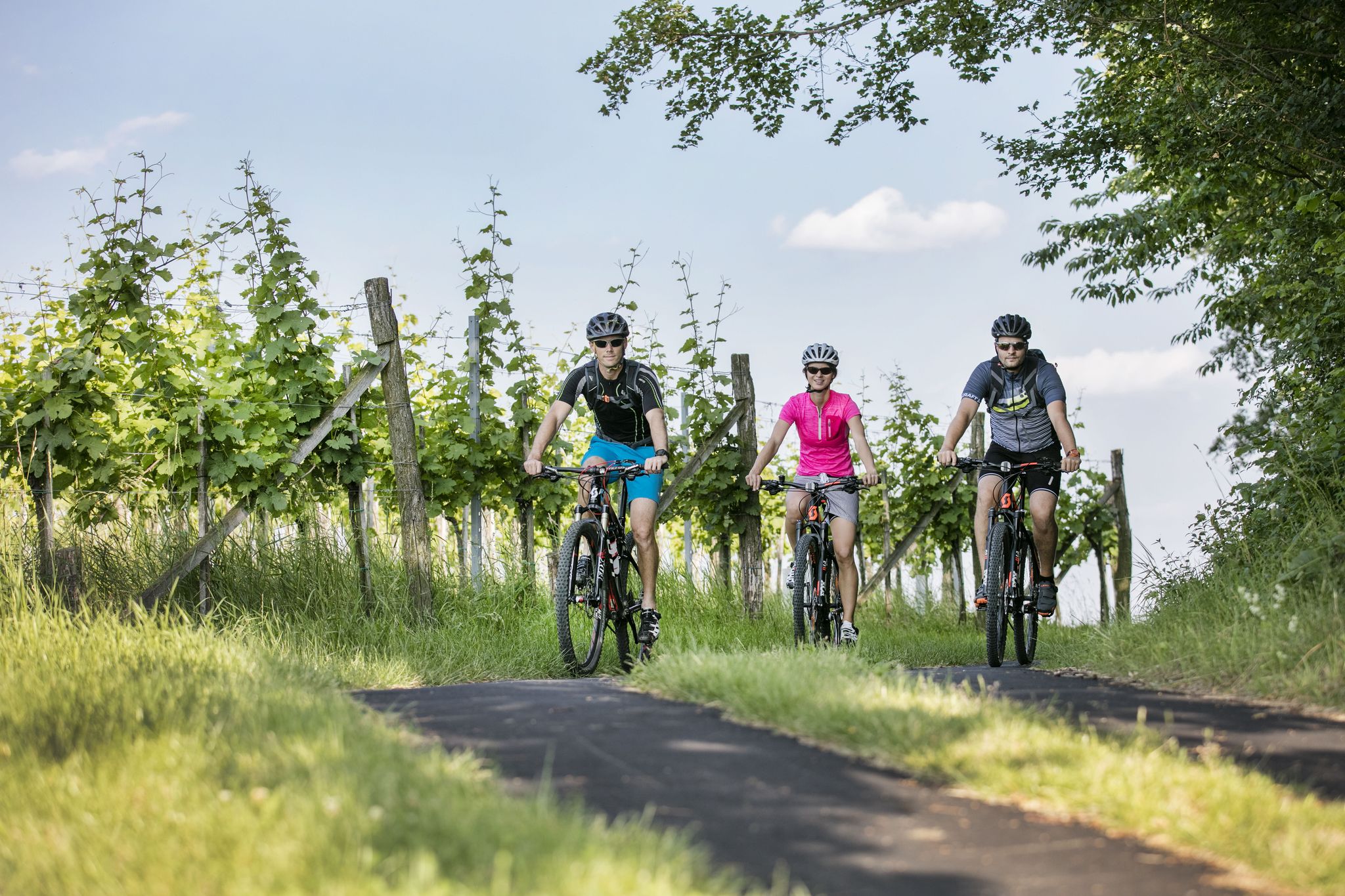
6 gourmet rides in East and Southeast Styria
Other adventures around Hartberg


Tips from the Community

My pleasure tour every year, car to service and in the meantime a great MTB tour to the Ringkogel and of course with a stop at the nice landlady. A further ride to the Masenberg is recommended, everything is well signposted. The Glückskapelle and above it the summit cross, a true power spot. There is also a refreshment stop to strengthen you for the return journey. Then there is the possibility to go to Pöllauberg and back to Hartberg via the Pöllauberg cycle path, or with a few more meters of altitude, as shown in my tour profile, by crossing the ridge and along the back of the Ringkogel (east side) back to Hartberg. With a small round trip in the city center, cycling is allowed everywhere!! how nice! There is also wonderful Illy coffee, it was a successful, beautiful day.
0
0

The view from the top is really beautiful on a clear day, like we had.
0
0
The quality of the food served was very good!!!!
0
0

Here you will find a resting place by the roadside.
1
0
There seems to be some activity on this avenue. Every 100 meters you'll find a bench, and it has already been heavily graveled. Is an asphalt paving planned here (April 2026)? We'll find out soon, I think.
1
0
A nice idea. Here you will find an inscription on a plaque where the forest farmers thank for the acquisition of the forest.
1
0
One of several artistically and creatively designed house facades in Hartberg. Each one is worth seeing. This "skull" is no exception.
2
0
Frequently Asked Questions
How many bus station hiking trails are available in Hartberg?
There are over 100 hiking trails around Hartberg that are easily accessible from bus stations, offering a wide range of options for all skill levels. This includes 61 easy routes, 38 moderate routes, and 2 more challenging treks.
What do other hikers enjoy most about the bus station trails in Hartberg?
The bus-accessible trails in Hartberg are highly rated by the komoot community, with an average score of 4.56 stars from over 1000 ratings. Hikers often praise the diverse landscapes, from rolling hills and forests to picturesque vineyards, and the well-maintained paths that make exploring the region convenient and enjoyable.
Are there easy hiking trails accessible directly from Hartberg's bus stations?
Yes, many easy trails are accessible. For a gentle introduction to the area, consider the Rest Area in Gmoos – Hartberger Gmoos loop from Hartberg. This easy route is just under 4 km and takes you through the serene Hartberger Gmoos, known for its natural beauty.
Can I find circular hiking routes starting from bus stations in Hartberg?
Absolutely. Many routes are designed as circular walks, allowing you to start and end at the same bus station. An example is the Hartberger Gmoos – Rest Area in Gmoos loop from Hartberg, which offers a pleasant 4.5 km circular walk through the local natural reserve.
Are there challenging hikes reachable by bus from Hartberg?
For experienced hikers seeking a challenge, the region offers more demanding routes. The Masenberg Chapel – Masenberg Summit Cross loop from Hartberg is a difficult 26 km hike with significant elevation gain, leading to the Masenberg Summit Cross and offering expansive views.
What kind of landscapes can I expect on bus-accessible hikes around Hartberg?
The bus-accessible hikes around Hartberg traverse a diverse landscape of rolling hills, lush forests, and scenic vineyards. You'll find trails winding through the idyllic Pöllauer Tal Valley with its orchard meadows, and paths offering panoramic views of the surrounding Styrian countryside.
Are there any viewpoints or landmarks along these bus station hiking trails?
Yes, several trails feature notable viewpoints and landmarks. The Ringwarte Observation Tower is a popular highlight, offering rewarding views and is included in routes like the Historic town of Hartberg – Ringwarte rest stop loop from Hartberg. Other points of interest include various religious buildings like the Parish Church of St. Stefan in Hofkirchen.
Are the bus station hiking trails in Hartberg suitable for families?
Many trails are family-friendly, particularly those in the Pöllauer Tal Valley, known for their relatively easy nature. The Rest Area in Gmoos – Hartberger Gmoos loop from Hartberg is a good option for families, offering a short, easy walk through natural surroundings.
Can I bring my dog on these trails?
Most hiking trails in the Hartberg region are dog-friendly, but it's always advisable to keep your dog on a leash, especially in nature reserves or areas with livestock. Ensure you carry water for your pet and clean up after them.
Are there opportunities for food and drink near the bus-accessible trails?
Yes, many trails pass through or near villages and towns where you can find cafes, restaurants, and traditional Austrian Gasthäuser. The Pharmacy with baroque portal – Hartberg Town Hall loop from Hartberg, for example, takes you through the historic town of Hartberg, offering various refreshment stops.
What natural features can I explore on bus-accessible hikes?
Beyond the general landscape, you can explore specific natural features like the Hartberger Gmoos, a natural reserve offering serene walks. The region is also characterized by its dense forests and the unique flora and fauna of the Pöllauer Tal Valley.
What is the best time of year to hike from Hartberg's bus stations?
Spring, summer, and autumn are generally the best times for hiking in Hartberg. Spring brings blooming orchards and vineyards, summer offers warm weather for forest trails, and autumn provides stunning foliage. While some trails are accessible in winter, conditions can vary, so check local weather and trail reports.
Most popular routes around Hartberg
Most popular attractions around Hartberg

Get inspired with the komoot mobile app


Explore more
Browse the best Hikes in other regions.
