The best MTB trails around Lommis
4.5
(1045)
5,173
riders
561
rides
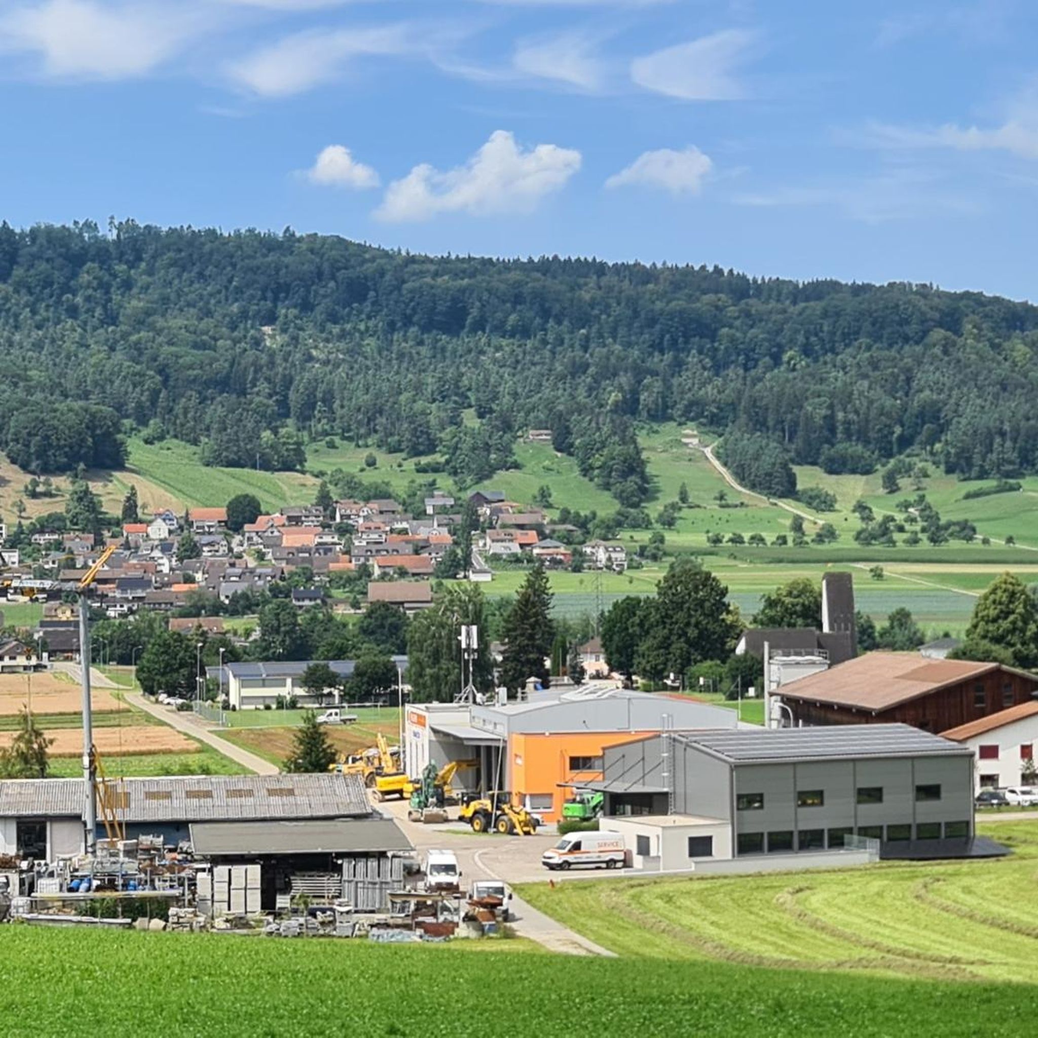
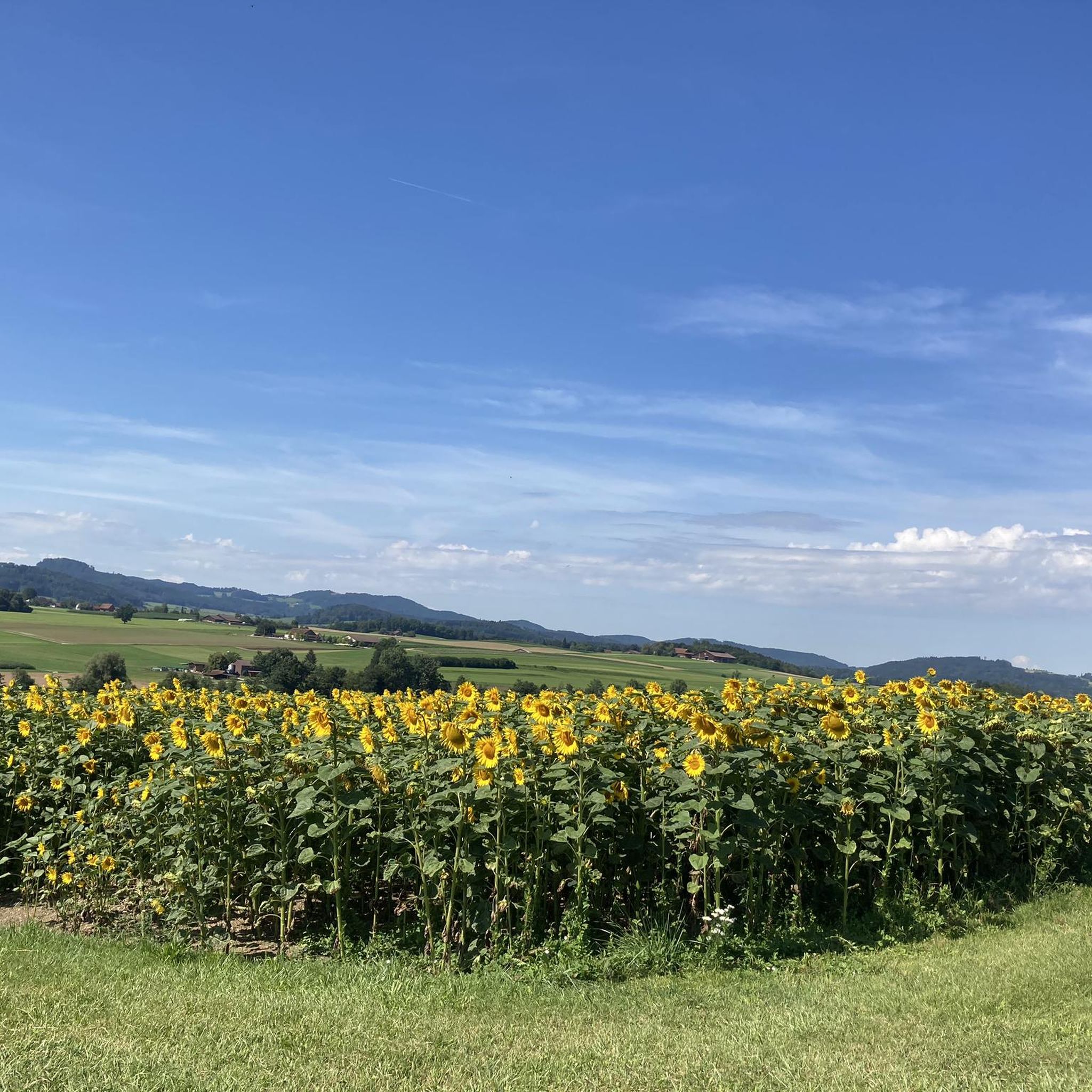
Mountain biking around Lommis features a landscape characterized by rolling hills, dense forests, and tranquil nature reserves. The region offers a variety of terrain, from gentle paths through wooded areas to more extended routes that traverse open countryside. Riders can expect a mix of natural trails and well-maintained paths, suitable for different skill levels.
Best mountain bike trails around Lommis
- The most popular mountain bike trail is View of Lauchtal – Immenberg Forest Trail loop from Immenberg, a 3.8…
Last updated: November 3, 2026
5.0
(9)
55
riders
45.9km
03:11
310m
310m
Moderate mountain bike ride. Good fitness required. Advanced riding skills necessary.
4.3
(7)
32
riders
35.2km
02:46
610m
610m
Hard mountain bike ride. Good fitness required. Advanced riding skills necessary. Some portions of the route may require you to push your bike.

31
riders
6.02km
00:36
120m
120m
Easy mountain bike ride.
29
riders
6.59km
00:30
60m
70m
Easy mountain bike ride.
5.0
(5)
14
riders
33.4km
02:40
460m
460m
Moderate mountain bike ride. Good fitness required.
Get access to more routes and recommendations from other explorers.
Already have an account?
Our route recommendations are based on thousands of hikes, rides, and runs completed by other people on komoot.
Start today with a free account
Your next adventure awaits.

Tips from the Community

A bit scrawny, a bit overgrown due to the season, but not a problem.
1
0

Easy and straight trail. You can ride at higher speeds.
1
0
At medium speed and in medium to low gear, there's a small step at the beginning and a muddy section at the end that you climb.
2
0

Northern end of the Chranzebärg-DH. Difficulty up to S3 downhill and S4 uphill. Closed to hikers as it is too dangerous due to bikers and their washouts.
1
0
Start of the Chranzebärg downhill, difficulty up to S3, partly wet,
1
0
Downhill trail down to S3, up to S4. So not without...
1
0
Downhill trail down to S3, up to S4. So not without... S2 is not correct!
1
0
Frequently Asked Questions
What are the typical difficulty levels and lengths of mountain bike trails around Lommis?
The mountain bike trails around Lommis cater to various skill levels. You'll find 142 easy routes, 441 moderate routes, and 64 difficult routes. Distances vary significantly, with easy loops like the Church of Lommis – Lommiswald barbecue hut loop from Lommis covering about 4.1 miles (6.5 km), while moderate trails such as the Webereiweiher Nature Reserve – Schwabenweg Trail loop from Tägerschen extend to around 19.0 miles (30.5 km).
Are there mountain bike trails suitable for beginners or families in Lommis?
Yes, Lommis has a good selection of easy mountain bike trails perfect for beginners or family outings. One popular option is the View of Lauchtal – Immenberg Forest Trail loop from Immenberg, which is 3.8 miles (6.1 km) long and offers gentle paths through wooded areas.
What kind of terrain can I expect on mountain bike trails in Lommis?
The region around Lommis is characterized by rolling hills, dense forests, and tranquil nature reserves. Riders can expect a mix of natural trails and well-maintained paths, traversing open countryside and wooded areas. The landscape provides varied terrain suitable for different skill levels.
Are there any circular mountain bike routes available in Lommis?
Many of the mountain bike routes in Lommis are designed as circular loops. For example, the Roosetaaler Pond – Schwabenweg Trail loop from Lommis is an easy 19.5-mile (31.3 km) circular route that allows you to start and end in the same location.
What do other mountain bikers enjoy most about the trails in Lommis?
The mountain bike trails in Lommis are highly rated by the komoot community, with an average score of 4.5 stars from over 850 reviews. Reviewers often praise the varied terrain, from quiet woodlands to open country paths, and the well-maintained nature of the trails.
What are some scenic viewpoints or attractions I can see along the mountain bike trails?
While riding, you can encounter several interesting points. The Stählibuck Tower offers panoramic views, and the Giessenfall Waterfall provides a natural spectacle. You might also pass by the historic Old Town Frauenfeld or the serene Lake Bichel.
Are there any specific bike parks or dedicated singletracks near Lommis?
Yes, for those looking for dedicated mountain biking experiences, there are several options nearby. You can explore the Chranzeberg Singletrail, the Polenweg Trail, or visit the Bike Park Märstetten for more structured riding.
What is the best season for mountain biking in Lommis?
The best season for mountain biking in Lommis is typically from spring through autumn, when the weather is mild and the trails are dry. The rolling hills and forest paths are particularly beautiful during these months. Always check local weather conditions before heading out.
Are there any longer or more challenging mountain bike routes for advanced riders?
Yes, advanced riders can find more challenging routes. For instance, the Singletrack at the Hartenaubach – View of Wuppenau and the Alps loop from Tägerschen is a moderate 10.9-mile (17.6 km) route with significant elevation changes, offering a more demanding ride.
How can I access the mountain bike trails around Lommis using public transport?
Lommis is generally accessible by public transport, with bus connections to nearby train stations. It's advisable to check local public transport schedules for the most convenient routes to trailheads, especially if you plan to start a ride directly from a public transport stop.
Are there parking facilities available near the mountain bike trailheads in Lommis?
Parking is generally available in and around the villages that serve as starting points for many trails, such as Lommis or Tägerschen. Look for designated parking areas, especially near public facilities or trail access points. Always respect local parking regulations.
Most popular attractions around Lommis

Get inspired with the komoot mobile app


Explore more
Browse the best MTB trails in other regions.
