The best traffic-free bike rides around Hohentauern
4.7
(252)
1,740
riders
14
rides
No traffic touring bike trails around Hohentauern are set within the Styrian Mur Valley, an alpine region characterized by elevations around 1,270 meters above sea level. The landscape features dense woodlands, tranquil lakes such as Triebenstein Lake, and a backdrop of mountain peaks rising above 2,000 meters. This environment provides diverse trail networks suitable for touring cyclists seeking routes through varied terrain.
Best no traffic touring cycling routes around Hohentauern
- The most popular no traffic touring cycling route is Water Fountain – Bäckerei Leo loop from Gaishorn, a 24.3 miles (39.0 km) trail that takes 2 hours 28 minutes to complete. This moderate route follows a river valley and passes through local villages.
- Another top favourite among local touring cyclists is Spielkogel Panorama Trail – Mödlinger Hut loop from Trieben, a difficult 14.6 miles (23.5 km) path. This route features challenging climbs and ascends to panoramic viewpoints.
- Local touring cyclists also love the Spielkogel Panorama Trail – Mödlinger Hut loop from Treglwang, a 16.4 miles (26.5 km) trail leading through alpine landscapes, often completed in about 2 hours 32 minutes.
- Touring cycling around Hohentauern is defined by dense woodlands, tranquil lakes, and mountain peaks, with routes offering options for different ability levels.
- The routes in Hohentauern are highly rated by the komoot community with an average score of 4.67 stars from over 200 reviews. More than 1600 touring cyclists have used komoot to explore Hohentauern's varied terrain.
Last updated: July 10, 2026
4.8
(17)
115
riders
39.0km
02:28
270m
270m
Moderate bike ride. Good fitness required. Mostly paved surfaces. Suitable for all skill levels.
5.0
(8)
52
riders
23.5km
02:14
840m
840m
Hard bike ride. Very good fitness required. Mostly paved surfaces. Suitable for all skill levels.

Sign up for free
5.0
(5)
46
riders
26.5km
02:33
1,010m
1,010m
Hard bike ride. Very good fitness required. Mostly paved surfaces. Suitable for all skill levels.
5.0
(1)
28
riders
Hard bike ride. Very good fitness required. Mostly paved surfaces. Suitable for all skill levels.
5.0
(1)
24
riders
18.9km
02:05
650m
650m
Hard bike ride. Very good fitness required. Mostly paved surfaces. Suitable for all skill levels.
Get access to more routes and recommendations from other explorers.
Sign up for free
Already have an account?
Our route recommendations are based on thousands of hikes, rides, and runs completed by other people on komoot.
Start today with a free account
Your next adventure awaits.
Login or Signup
Popular around Hohentauern

Central Alps Trail Eastern Section – Discover Austria
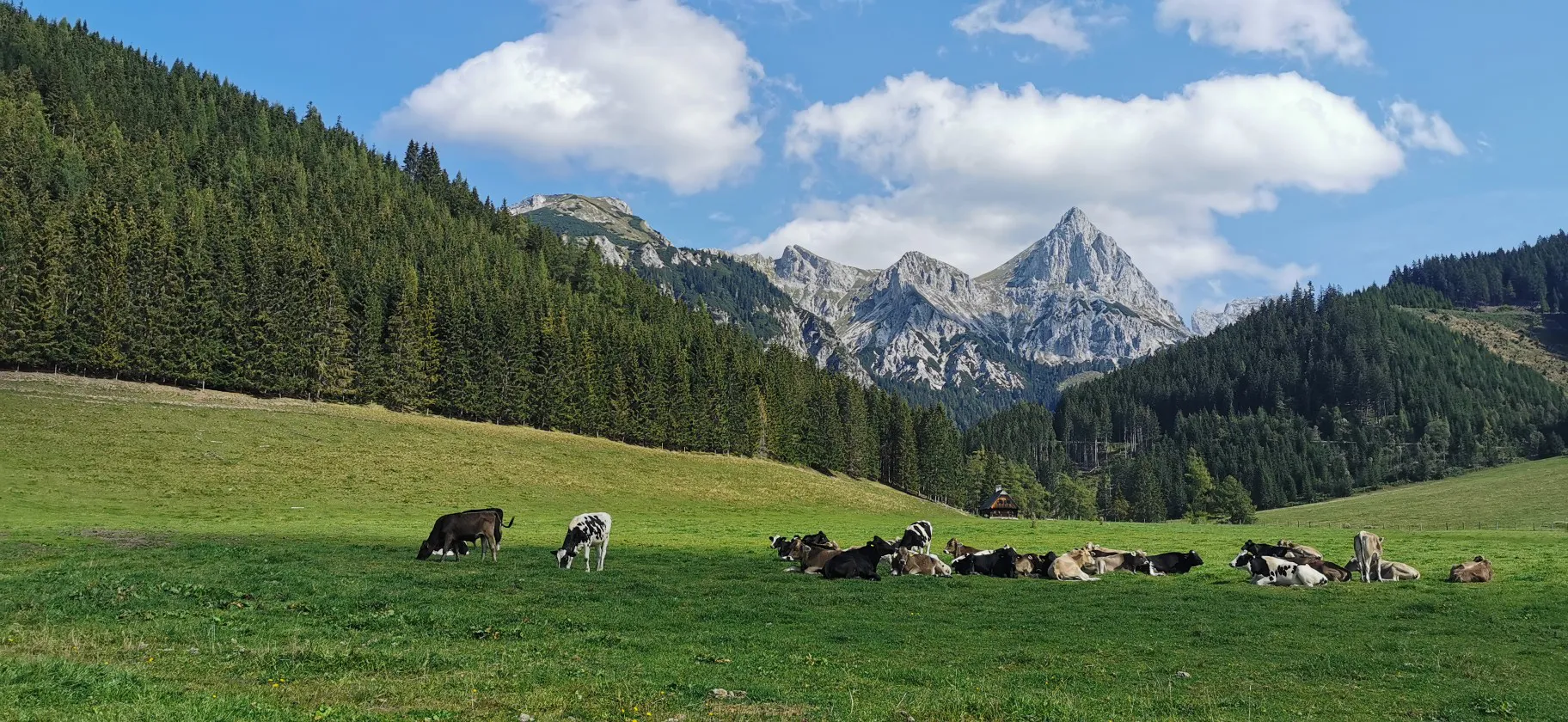
Via Alpina through Styria in Austria – From south to north

Eisenwurzen Trail – Hiking through Austria from north to south
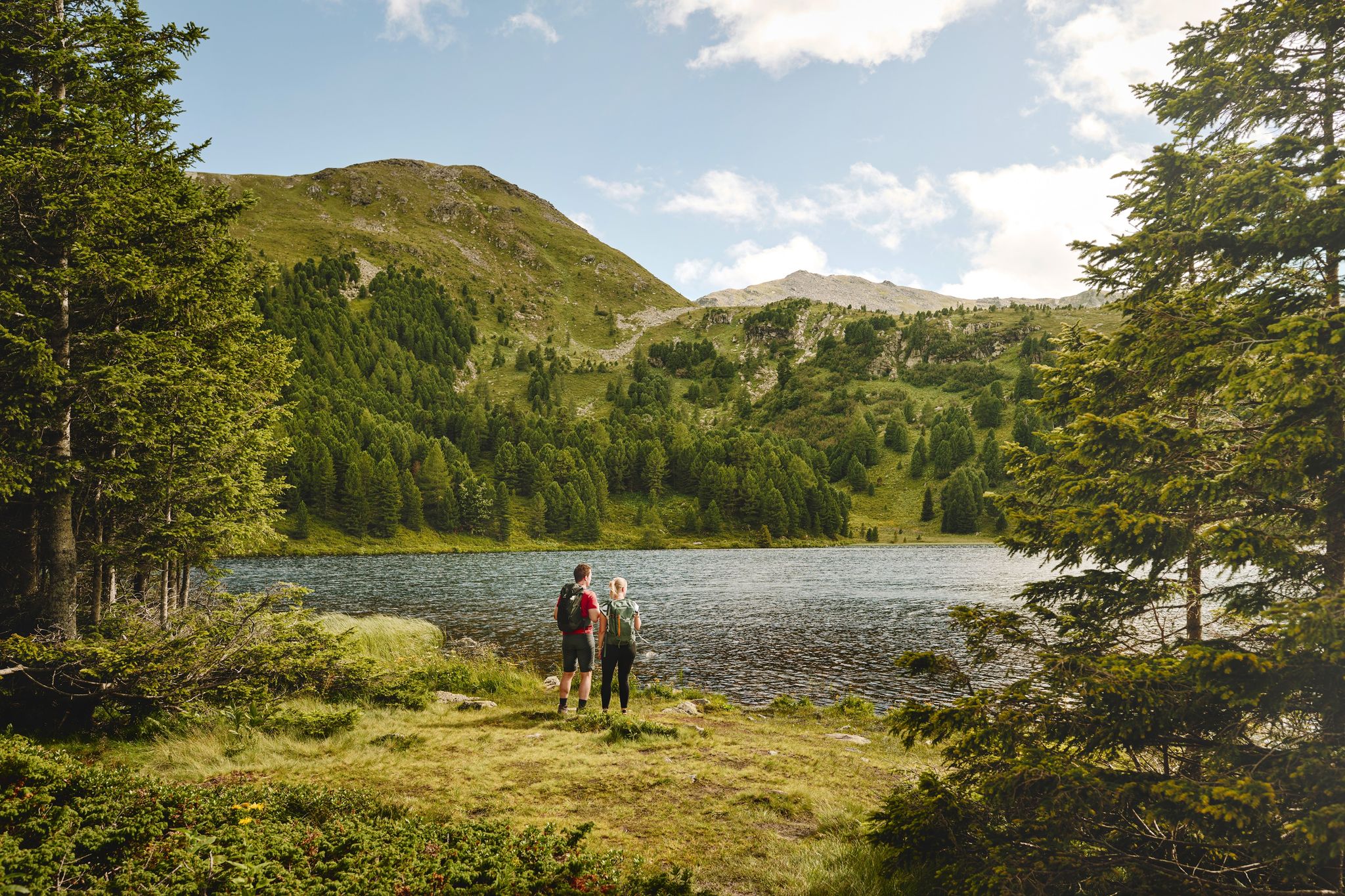
The sound of Swiss pines in the Murtal region
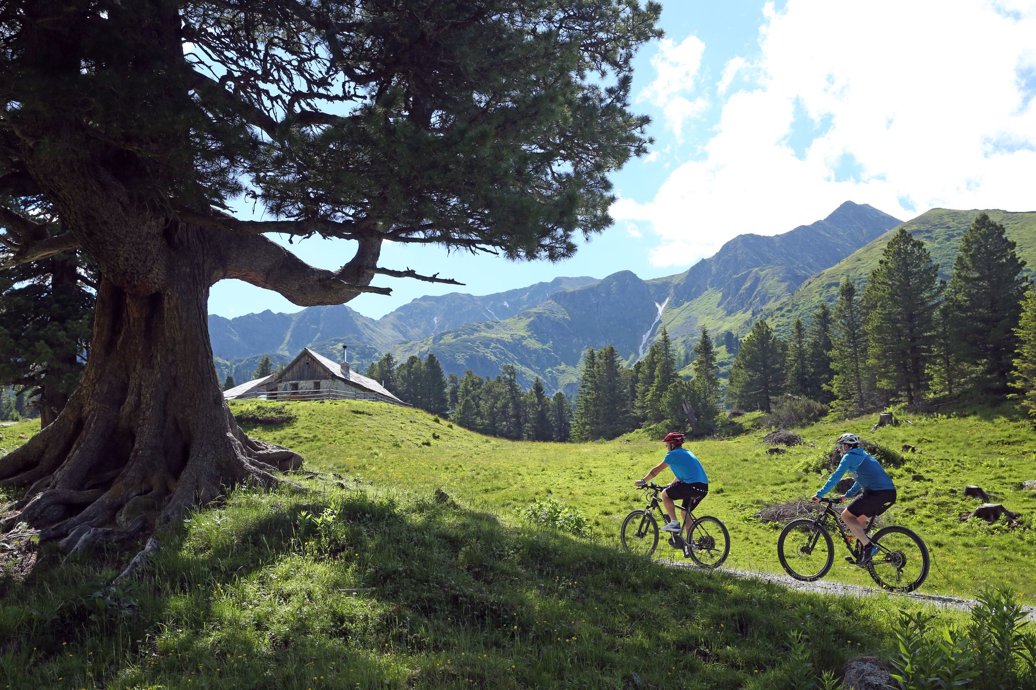
Tours, trails and panorama — mountain biking in the Mur Valley
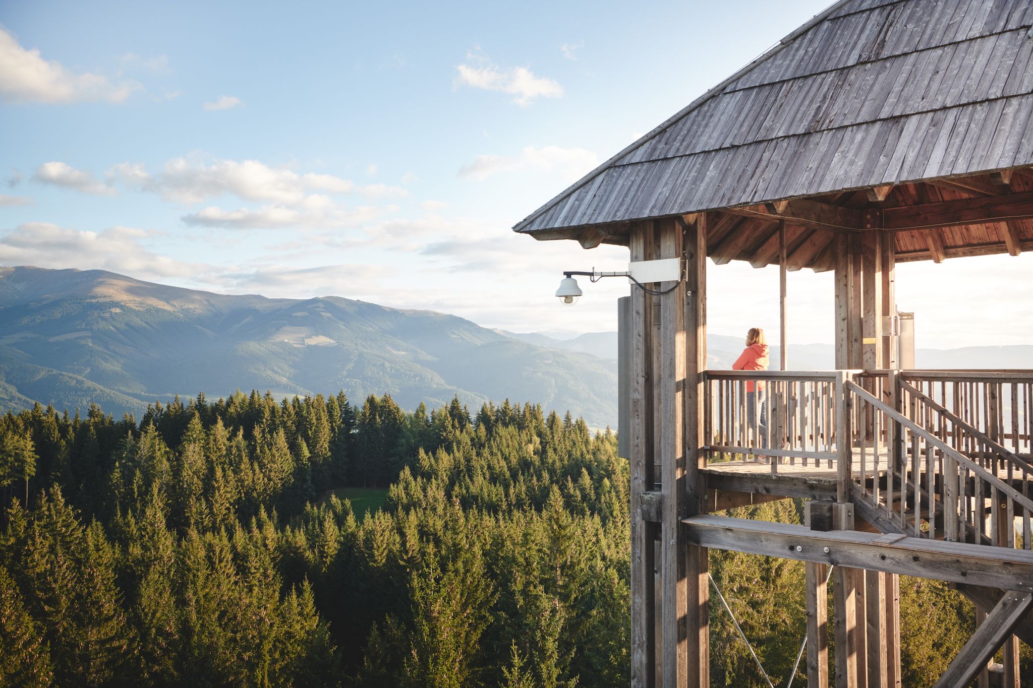
Feel the heartbeat — 12 hikes in the Murtal adventure region
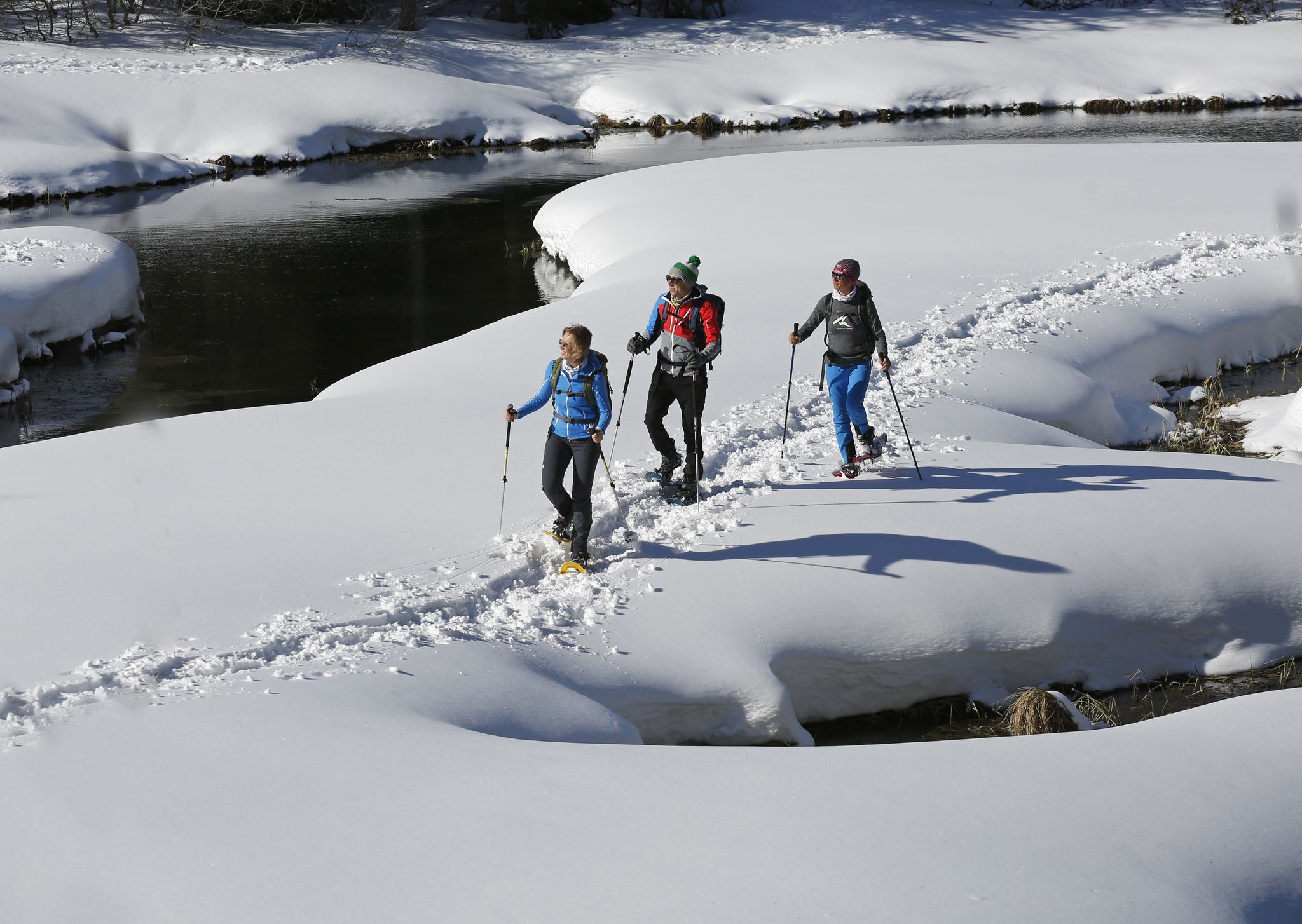
Boundless Austrian winterlust — snowshoeing in the Mur Valley
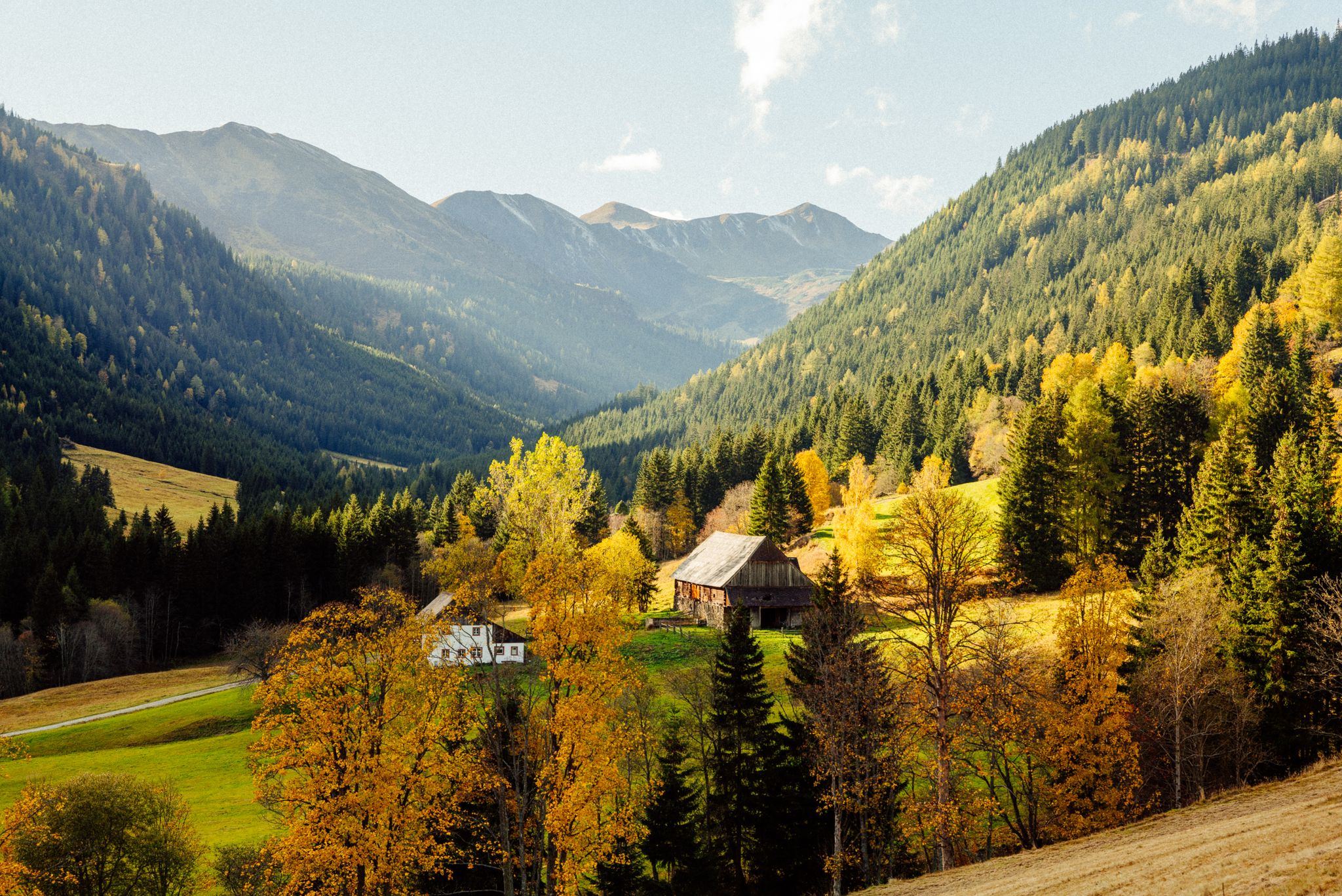
Z'HERBST in der Erlebnisregion Murtal
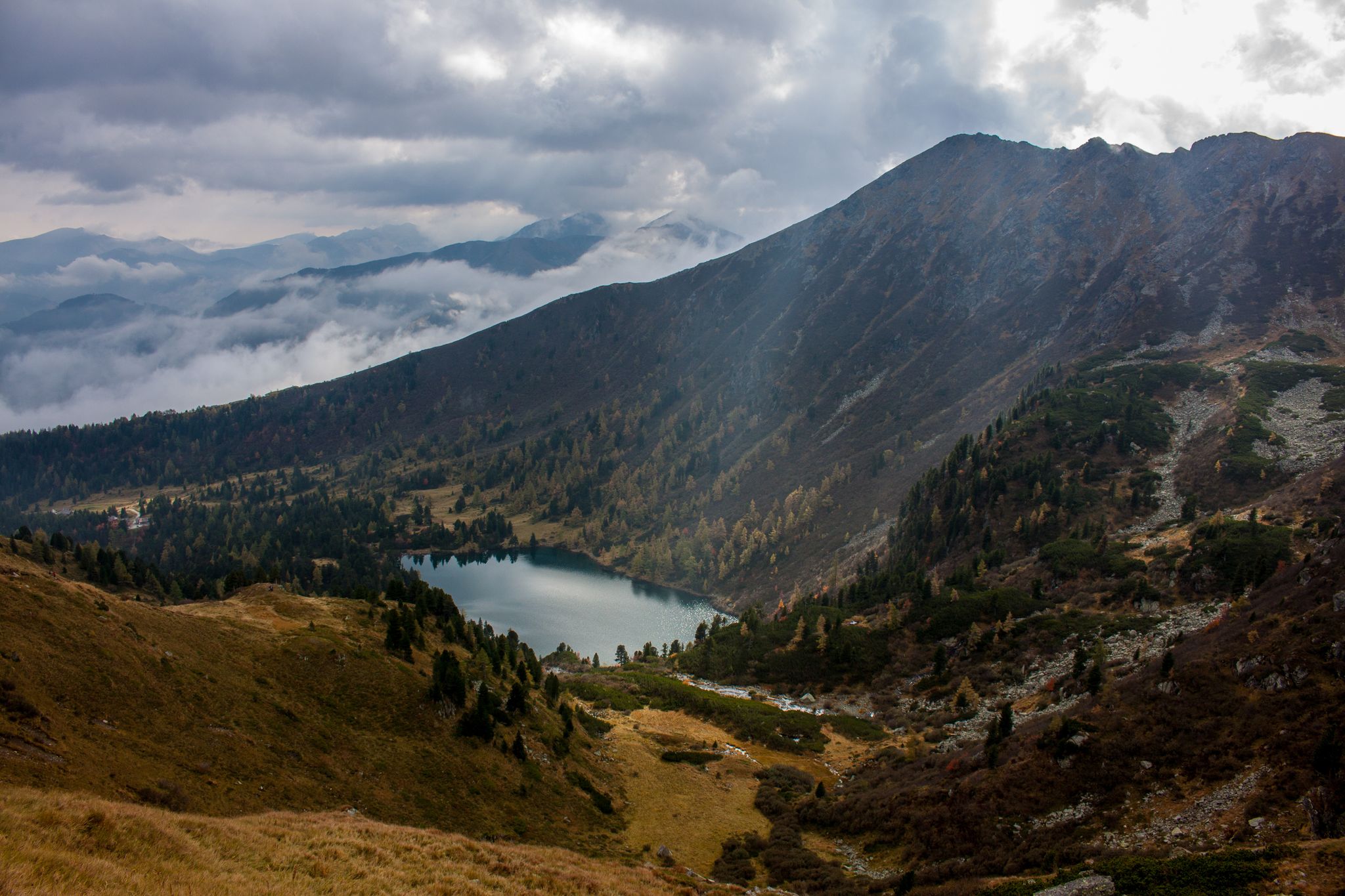
Berge mit unglaublichen Namen
Other adventures around Hohentauern


Tips from the Community

A truly beautiful hotel on the Radtland cycle path. very lovingly furnished rooms, a great restaurant, wonderful hosts!
0
0


There was relatively heavy traffic, including heavy goods vehicles, and an unbraked 40-ton truck overtook me with less than 1 meter of clearance. I'm annoyed that I ignored a friend's advice to use the Sölk Pass.
0
0

What a view. A panoramic deluxe awaits you on this path between Mödlinger Hütte and Spielkogel. Just enjoy!
0
0

You can also take a nice round trip from the parking lot in Kaiserau via the Klinke Hütte to the Mödlinger Hütte and back
1
0

Nice bike route. hold onto your handlebars
0
0
carbon statt kondition 😀 cube cyclecross race
0
0
Frequently Asked Questions
How many no-traffic touring cycling routes are available in Hohentauern?
Hohentauern offers 14 dedicated no-traffic touring cycling routes. These routes cater to various skill levels, with 5 easy, 2 moderate, and 7 difficult options, ensuring a suitable ride for every cyclist.
What is the best time of year to go touring cycling in Hohentauern?
The best time for touring cycling in Hohentauern is generally from late spring through early autumn. During these months, the weather is most favorable, and the alpine landscapes, including the changing colors of the larch forests in late autumn, are particularly beautiful. Always check local weather conditions before heading out.
Are there any family-friendly no-traffic cycling routes in Hohentauern?
Yes, Hohentauern has several routes suitable for families looking for no-traffic cycling. The region's well-maintained trails and serene environments make it ideal for a relaxed family outing. You can find 5 easy routes that are generally suitable for families.
Can I bring my dog on the no-traffic touring cycling routes?
Many of the no-traffic touring cycling routes in Hohentauern are suitable for cycling with dogs, especially those that follow forest roads or wider trails. However, it's always recommended to keep your dog on a leash and be mindful of other trail users and local wildlife. Check specific route details for any restrictions.
What kind of terrain can I expect on the no-traffic touring cycling routes around Hohentauern?
The no-traffic touring cycling routes in Hohentauern offer diverse terrain. You can expect a mix of paved and unpaved sections, including forest roads and paths that ascend through valleys. Some routes may even cross summer ski slopes, providing varied challenges and scenic views.
Are there any circular no-traffic touring cycling routes in Hohentauern?
Yes, many of the no-traffic touring cycling routes in Hohentauern are designed as loops, allowing you to start and end in the same location. An example is the moderate route, Water Fountain – Bäckerei Leo loop from Gaishorn, which covers nearly 40 km.
What natural attractions can I see along the no-traffic touring cycling routes?
Hohentauern's no-traffic routes often lead through stunning natural landscapes. You can encounter tranquil lakes like Großer Scheibelsee, and enjoy expansive views from various summits such as Stein am Mandl or Rosenkogel Summit. The region is also characterized by dense woodlands and crisp mountain air.
Are there places to rest or get refreshments along the routes?
Yes, Hohentauern is known for its mountain huts strategically located along many routes. Places like the Mödlinger Hut and Bergerhube provide convenient resting spots and refreshments. For example, the difficult route Spielkogel Panorama Trail – Mödlinger Hut loop from Trieben passes by the Mödlinger Hut.
What do other touring cyclists enjoy most about cycling in Hohentauern?
The area is highly rated by the komoot community, with an average score of 4.7 stars from 226 ratings. Reviewers often praise the breathtaking alpine landscapes, the diverse and well-maintained trail networks, and the serene, traffic-free environments that make for a truly immersive cycling experience.
Are there any specific landmarks or points of interest to look out for?
Beyond the natural beauty, you might encounter interesting landmarks. The Stilt House Village and Xylophone Forest – Hohentauern loop from Hohentauern route offers unique sights. You can also find the Heldenkreuz (1630 m), a notable man-made monument, and observe the modern technology of the Tauernwind Park.
How long are the no-traffic touring cycling routes in Hohentauern?
The no-traffic touring cycling routes in Hohentauern vary in length. For instance, you can find shorter loops like the difficult Stilt House Village and Xylophone Forest – Hohentauern loop from Hohentauern at around 12.6 km, or longer, more challenging rides such as the moderate Water Fountain – Bäckerei Leo loop from Gaishorn which is nearly 40 km long.
Is public transport available to reach the starting points of these routes?
While Hohentauern is nestled in an alpine region, public transport options to reach the village and access various route starting points are available, though they might be less frequent than in urban areas. It's advisable to check local bus schedules or regional train connections to nearby towns like Trieben, from which you can connect to Hohentauern.
Most popular attractions around Hohentauern

Get inspired with the komoot mobile app


Explore more
Browse the best Cycling routes in other regions.
