The best traffic-free bike rides around Gargellen
3.8
(26)
267
riders
8
rides
No traffic gravel bike trails around Gargellen are characterized by challenging alpine terrain and significant elevation changes within the Montafon region of Vorarlberg, Austria. Situated at 1,423 meters, Gargellen is the highest village in Montafon, offering routes that traverse forested areas, open slopes, and alpine valleys. The landscape features views of surrounding peaks and valleys, with unique geological formations like the "Gargellen windows" where light-colored limestone rocks are exposed.
Best no traffic gravel bike trails around Gargellen
- The most popular…
Last updated: July 10, 2026
4.4
(11)
70
riders
48.5km
03:33
1,220m
1,220m
Hard gravel ride. Very good fitness required. Mostly paved surfaces. Suitable for all skill levels.
5.0
(3)
30
riders
27.2km
02:12
570m
570m
Hard gravel ride. Very good fitness required. Mostly paved surfaces. Suitable for all skill levels.

Sign up for free
14
riders
25.3km
02:05
600m
600m
Hard gravel ride. Very good fitness required. Mostly paved surfaces. Suitable for all skill levels.
2.0
(1)
5
riders
17.6km
01:38
530m
530m
Hard gravel ride. Very good fitness required. Mostly paved surfaces. Suitable for all skill levels.
3.0
(1)
14
riders
15.9km
01:06
220m
230m
Moderate gravel ride. Good fitness required. Mostly paved surfaces. Suitable for all skill levels.
Get access to more routes and recommendations from other explorers.
Sign up for free
Already have an account?
Our route recommendations are based on thousands of hikes, rides, and runs completed by other people on komoot.
Start today with a free account
Your next adventure awaits.
Login or Signup
Popular around Gargellen

Min Weag long-distance hiking trail – From Lake Constance to the Alps
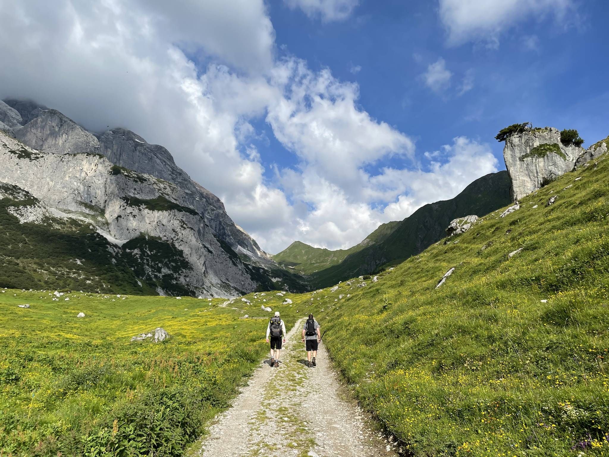
Montafon Hut-to-Hut Hiking Trail – 13 days in Western Austria
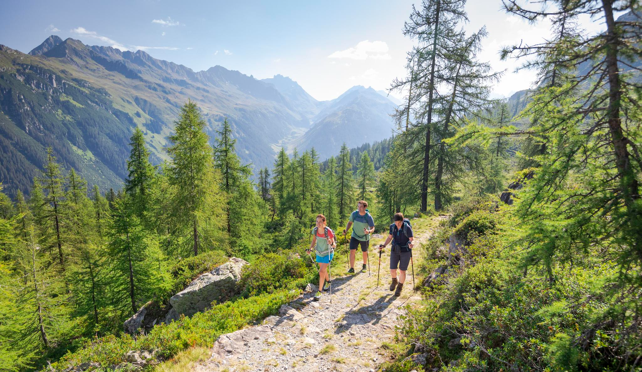
Between Maisäß and Alpe – hiking in Montafon
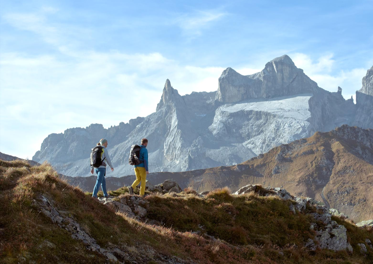
Alpenmosaik Montafon – the most beautiful autumn hikes
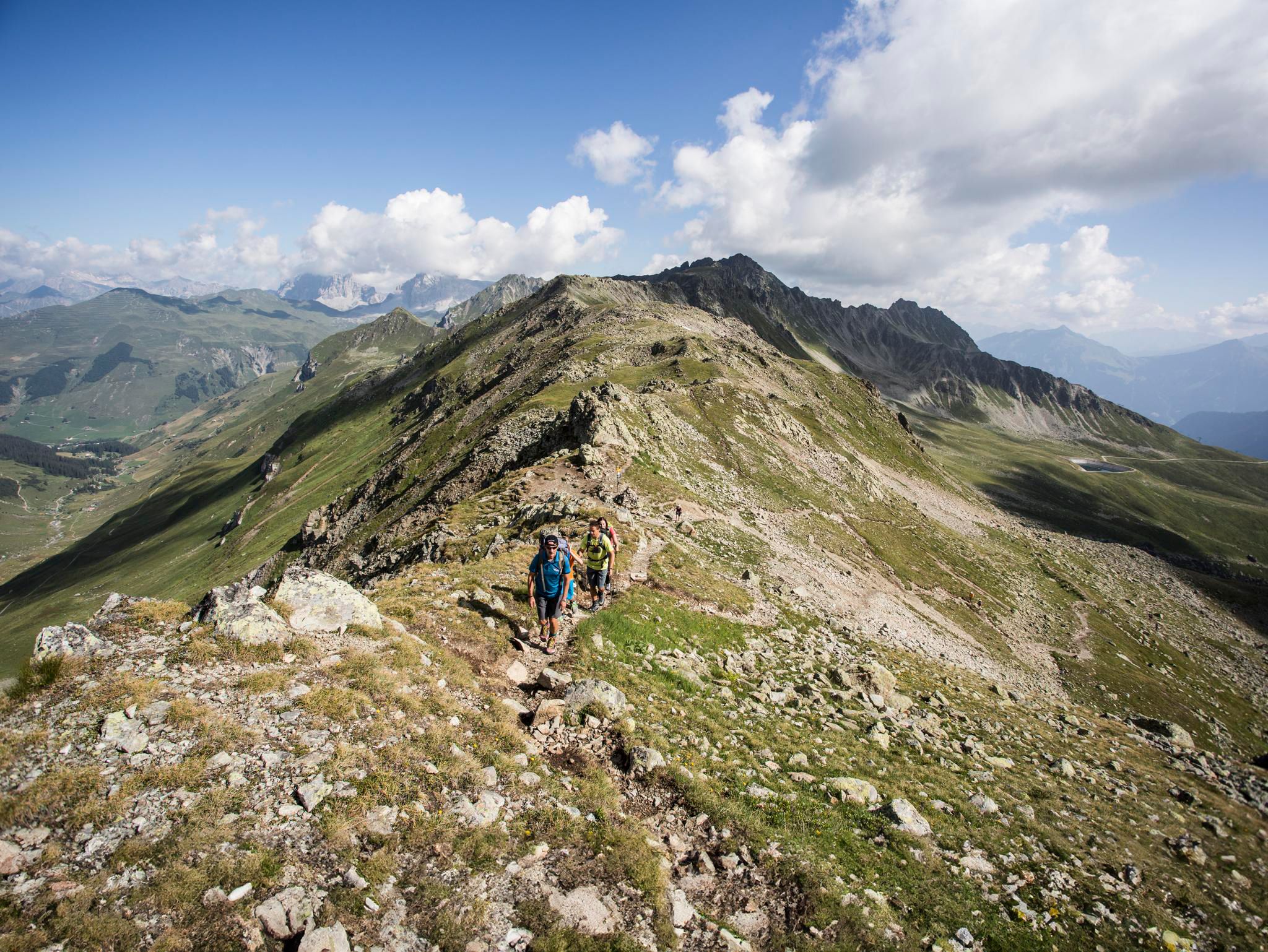
Mountain panoramas and quality trails in Austria's hiking villages
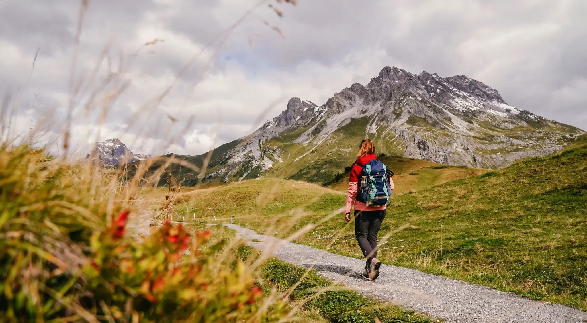
Vorarlberg in autumn – the 6 most beautiful hikes in the golden season
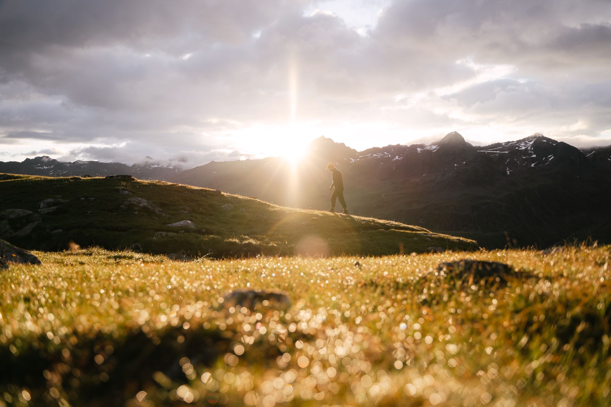
Hike and experience Austrian hospitality
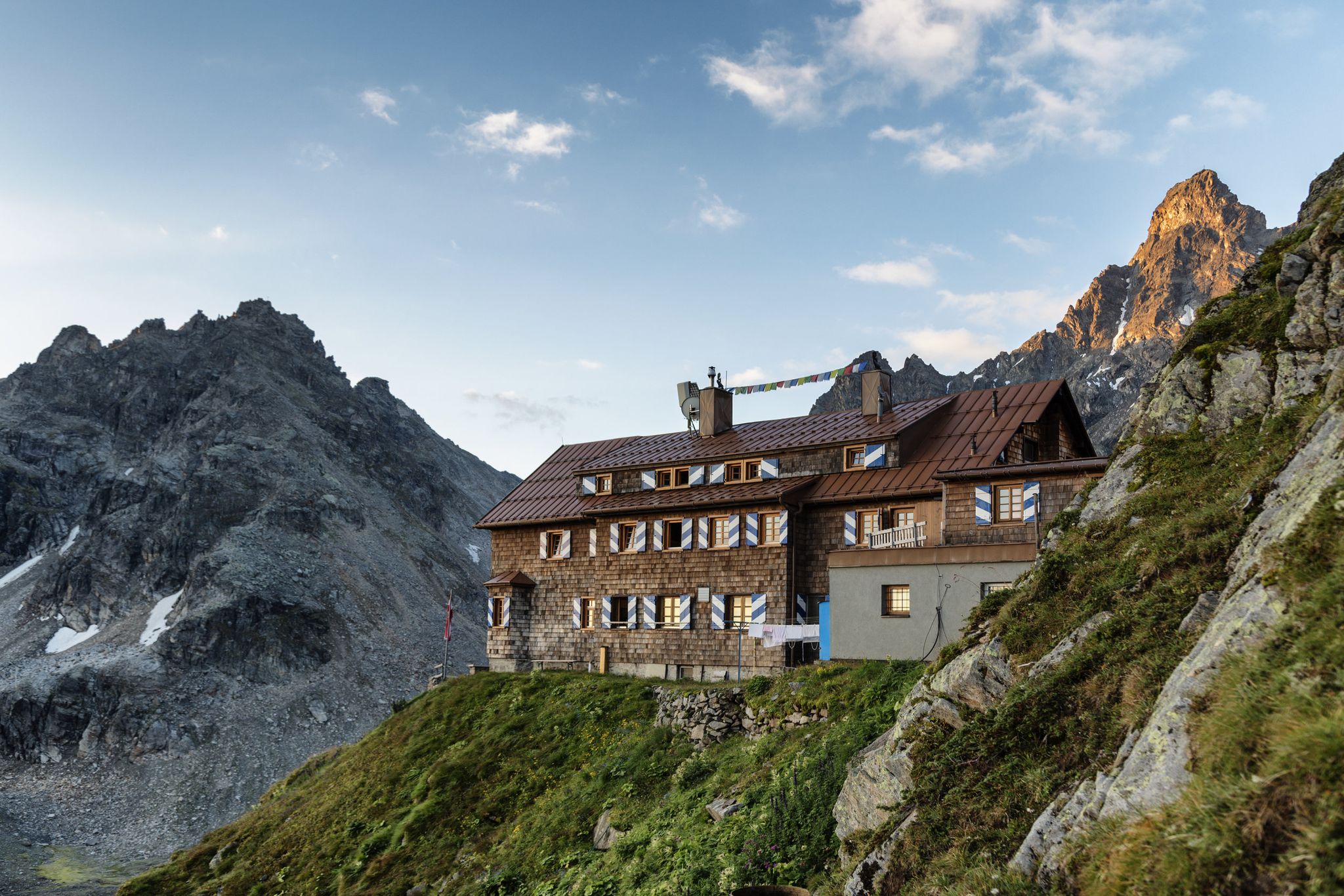
Alpenmosaik Montafon - The Montafoner Hüttenrunde
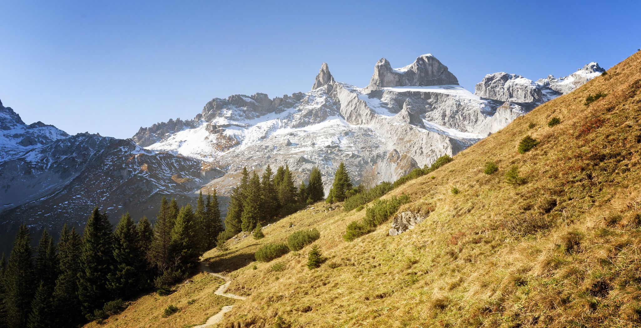
Alpine Mosaic Montafon — Austria’s Rätikon adventure area
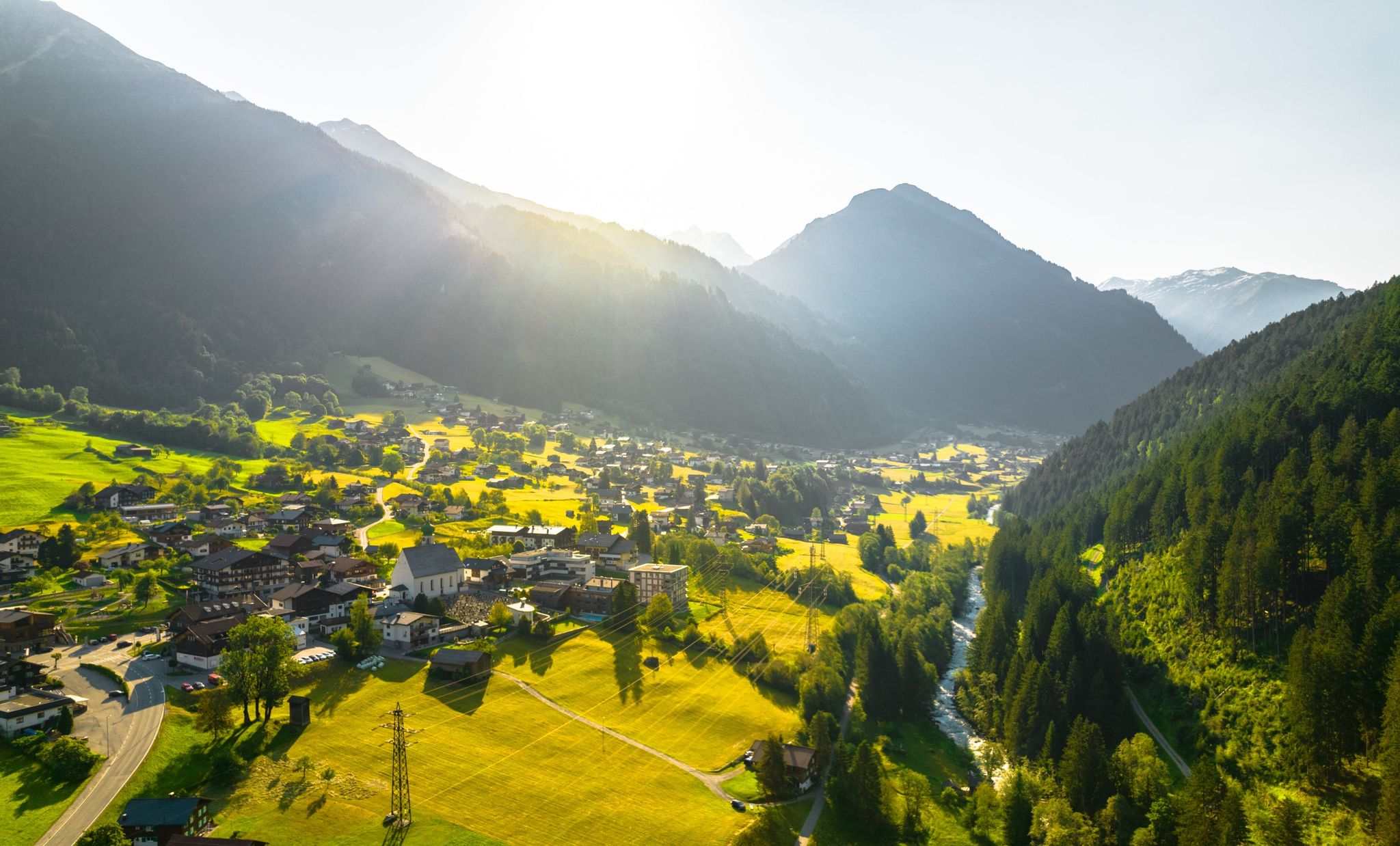
Alpine Mosaic Montafon — Austria’s valley adventure area
Other adventures around Gargellen


Tips from the Community

The village of Silbertal is a scattered settlement located in Vorarlberg, Austria's westernmost state, in the Bludenz district, at an altitude of 889 meters above sea level in the Silbertal valley of the Verwall mountain range. Its name originates from the copper and silver mining that was formerly carried out there. https://de.wikipedia.org/wiki/Silbertal
1
0

The Köberle Organ in the Reformed Church of Klosters 300 years old, but still remarkably rich in sound The small organ in the Reformed Church in Klosters is one of the three oldest playable organs in the churches of Graubünden. We know that it was built in 1686 by Elias Köberle in Konstanz. How it traveled from Lake Constance to the church in Serneus will never be known. In 1929, the people of Serneus acquired a new organ; the Köberle organ was moved to the Nutli-Hüschi Museum, where it remained silent for almost 70 years. Fourteen years ago, the municipality of Klosters-Serneus had the organ restored. Since then, it has stood in its place on the side gallery of the Reformed Church. Originally, like many other organs in the 17th century, it was built for use in the homes of wealthy bourgeois families. But with the surprisingly full sound of its five stops, this small instrument is still perfectly adequate for use in church services, even in place of a large organ. Text / Source: Annerös Hulliger, Musician, Oberfeldstrasse 54, CH-3067 Boll http://www.anneroeshulliger.ch/konzerte/presse/Klosterser_Zeitung_300_jaehrig.pdf https://orgelverzeichnis.ch/GRProfile2/klosters_ref_chor.htm
13
0
Suspension Bridge over the Schlappintobel Gorge, Klosters The impressive suspension bridge over the Schlappintobel Gorge is an integral part of the Klosters High Trail and an important sub-project of the PRE Klosters (Practical Environment Klosters) project. Construction of the bridge began in spring 2017 and progressed rapidly. With a total length of an impressive 70.5 meters, the cable-and-wood structure spans the Schlappintobel Gorge, reaching a highest point of 19 meters above ground. In beautiful summer weather, the new bridge was inaugurated with a small bridge festival and opened to the public on June 10, 2017. The bridge can be reached on foot in 15 minutes from the Madrisa cable car valley station and is also suitable for hiking with young children. A few impressive figures about the suspension bridge: A single bridge pylon, 10.5 meters high, bears the entire load. 220 meters of suspension cables were installed (2 cables, each 110 meters long [3 x 15.7 mm]). 40 meters of cable anchors secure the structure (4 cables, each 10 meters long, 22.5 mm). 120 meters of wind bracing cables are in use (2 cables, each 60 meters long). Text / Source: Klosters-Pur.ch https://www.klosters-pur.ch/haengebruecke/
13
0

In summer, it's so beautifully quiet there. You can spend a lovely restful rest there.
0
0
A lovely place to cool off in the warmer months. Very quiet area. Pure nature...
0
0

For us, it was a nearly 1 km long push. Partly rooty and rocky, and partly too exposed. Anyone who falls on a slope needs a good guardian angel. But at some point, the one kilometer is over.
0
0

A longer section of the GarfiumBike (SwitzerlandMobility Route 331), high above Monbiel and Klosters. Partly forest roads, but also partly singletrack (especially in the western sections), here S1 and S2. Often slightly exposed, the trail runs along a slope. Beautiful views of the valley are always present.
1
0
Is the one shown in the photos the Monbiel Suspension Bridge?? In any case, there is no suspension bridge at the highlight location on the map!
1
0
Frequently Asked Questions
How many no-traffic gravel bike trails are available around Gargellen?
Our guide features 9 dedicated no-traffic gravel bike trails around Gargellen. These routes are specifically curated to offer challenging rides through the stunning alpine landscape, away from vehicular traffic.
What is the general difficulty level of gravel biking in Gargellen?
The gravel bike trails around Gargellen are generally considered difficult, featuring significant elevation changes and demanding terrain. They are best suited for advanced gravel bikers looking for a rigorous experience through alpine valleys and mountainous landscapes.
Are there any circular gravel bike routes in the Gargellen area?
Yes, many of the no-traffic gravel bike trails around Gargellen are circular, allowing you to start and end in the same location. For example, the challenging View of Silbertal – View of Schruns and Tschagguns loop from St. Gallenkirch offers extensive climbs and panoramic valley views on a 48.5 km loop.
What natural landmarks can I expect to see while gravel biking near Gargellen?
Gargellen is rich in natural beauty. You can encounter impressive geological formations like the 'Gargellen windows' where light-colored limestone is exposed. Many routes also feature stunning waterfalls, such as those found on the Verstanclabach Valley – Waterfall in Val da Fain loop from Klosters Dorf or the Vereinabach Waterfall – Waterfall in Graubünden loop from Klosters Dorf. The region also boasts crystal-clear alpine lakes like Heart Lake and Black Lake.
What do other gravel bikers enjoy most about the trails in Gargellen?
The komoot community rates the trails around Gargellen highly, with an average score of 4.07 stars. Riders frequently praise the breathtaking alpine panoramas, the challenging nature of the routes, and the serene, traffic-free environment that allows for an immersive outdoor experience.
Are there any attractions or points of interest along the no-traffic gravel bike routes?
While the routes themselves focus on natural landscapes, the broader Gargellen area offers several attractions. You might pass by mountain huts like Gauertalhaus, which provide excellent regional food. For those interested in unique geological features, the 'Gargellen windows' are a notable sight. Additionally, the region has several fascinating caves, including the Maria Hüllet Grotto and Abgrundhöli Cave, which can be explored off-bike.
What is the typical elevation gain on these gravel bike trails?
Given the mountainous terrain, the no-traffic gravel bike trails around Gargellen feature significant elevation gains. For instance, the Descent From Heilbronner Hütte – Ganiferstraße Serpentines loop from St. Gallenkirch involves over 1280 meters of ascent, providing a substantial workout and rewarding views.
Is Gargellen suitable for family-friendly gravel biking?
The no-traffic gravel bike trails highlighted in this guide are generally difficult and best suited for experienced riders due to their challenging nature and significant elevation. For families, the broader Montafon region offers over 250 km of cycle routes, some of which are more relaxed, but these specific 'no traffic' gravel routes are quite demanding.
Where can I find parking for these gravel bike trails?
Many of the trails, such as those starting from St. Gallenkirch or Klosters Dorf, have designated parking areas nearby. It's advisable to check the specific tour details on komoot for precise trailhead parking information before you set out.
What is the best time of year for gravel biking in Gargellen?
The best time for gravel biking in Gargellen is typically during the warmer months, from late spring to early autumn, when the alpine passes are clear of snow and the weather is most stable. Always check local weather conditions before heading out, as mountain weather can change rapidly.
Are there any routes that offer views of the Silvretta Alps?
Absolutely. The region around Gargellen provides stunning views of the surrounding peaks, including the majestic Silvretta Alps. The challenging terrain often leads to high vantage points, offering panoramic vistas that are a highlight of many rides.
Can I find cafes or mountain huts along the gravel bike routes?
While the no-traffic routes themselves might be remote, the broader area around Gargellen is dotted with inviting mountain huts like Gauertalhaus, Lindauer Hut, and Wormser Hut. These offer excellent opportunities for a break and to enjoy regional food and hospitality, often in scenic locations. It's a good idea to plan your route to include a stop at one of these establishments.
Most popular routes around Gargellen
Most popular attractions around Gargellen

Get inspired with the komoot mobile app


Explore more
Browse the best Gravel rides in other regions.
