The best hikes from bus stations around Golling an der Salzach
4.6
(1674)
8,185
hikers
12
hikes
Bus station hiking trails around Golling an der Salzach offer access to a diverse landscape in the Tennengau region of Salzburg. The area is characterized by rugged mountains, deep gorges, and impressive waterfalls, with the Salzach River carving through limestone formations. Hikers can explore crystal-clear rivers, serene lakes, and lush meadows, often surrounded by dense forests. This region provides a blend of challenging mountain ascents and more gentle paths through nature reserves.
Best bus station hiking trails around Golling an der Salzach
- The most popular bus station hiking route is Hochreithalm – Egelsee Pond loop from Golling an der Salzach, a 6.9 miles (11.0 km) trail that takes 3 hours 37 minutes to complete, featuring a scenic loop around Egelsee Pond.
- Another top favourite among local hikers is Golling Castle – Path Along the Salzach River loop from Golling an der Salzach, a moderate 5.7 miles (9.2 km) path that follows the Salzach River and passes Golling Castle.
- Local hikers also love the Black Mountain Hut – Schwarzer Berg Summit loop from Pass Lueg, a 9.4 miles (15.1 km) trail leading through mountainous terrain, often completed in about 6 hours 40 minutes.
- Hiking around Golling an der Salzach is defined by rugged mountains, deep gorges, and imposing waterfalls, alongside crystal-clear rivers and serene lakes. The network offers options for various ability levels, from challenging mountain routes to accessible valley paths.
- The routes in Golling an der Salzach are highly rated by the komoot community with an average score of 4.6 stars from more than 1,400 reviews. More than 7,600 hikers have used komoot to explore Golling an der Salzach's varied terrain.
Last updated: August 20, 2026
4.8
(6)
27
hikers
10.6km
03:31
510m
510m
Moderate hike. Good fitness required. Easily-accessible paths. Suitable for all skill levels.
4.4
(7)
19
hikers
Moderate hike. Good fitness required. Easily-accessible paths. Suitable for all skill levels.

Sign up for free
13
hikers
15.1km
06:40
1,140m
1,140m
Hard hike. Very good fitness required. Sure-footedness, sturdy shoes and alpine experience required.
5.0
(2)
8
hikers
16.7km
04:34
190m
190m
Moderate hike. Good fitness required. Mostly accessible paths. Sure-footedness required.
4.6
(12)
33
hikers
6.12km
01:59
240m
240m
Moderate hike. Great for any fitness level. Mostly accessible paths. Sure-footedness required.
Get access to more routes and recommendations from other explorers.
Sign up for free
Already have an account?
Our route recommendations are based on thousands of hikes, rides, and runs completed by other people on komoot.
Start today with a free account
Your next adventure awaits.
Login or Signup
Popular around Golling an der Salzach
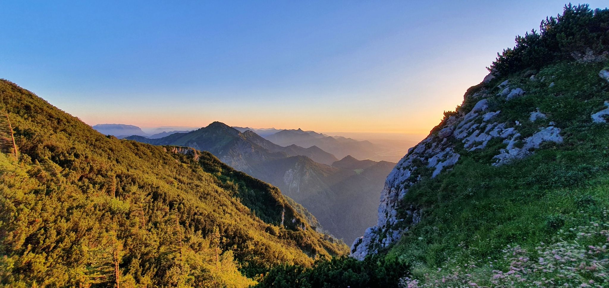
The SalzAlpenSteig – On the tracks of white gold
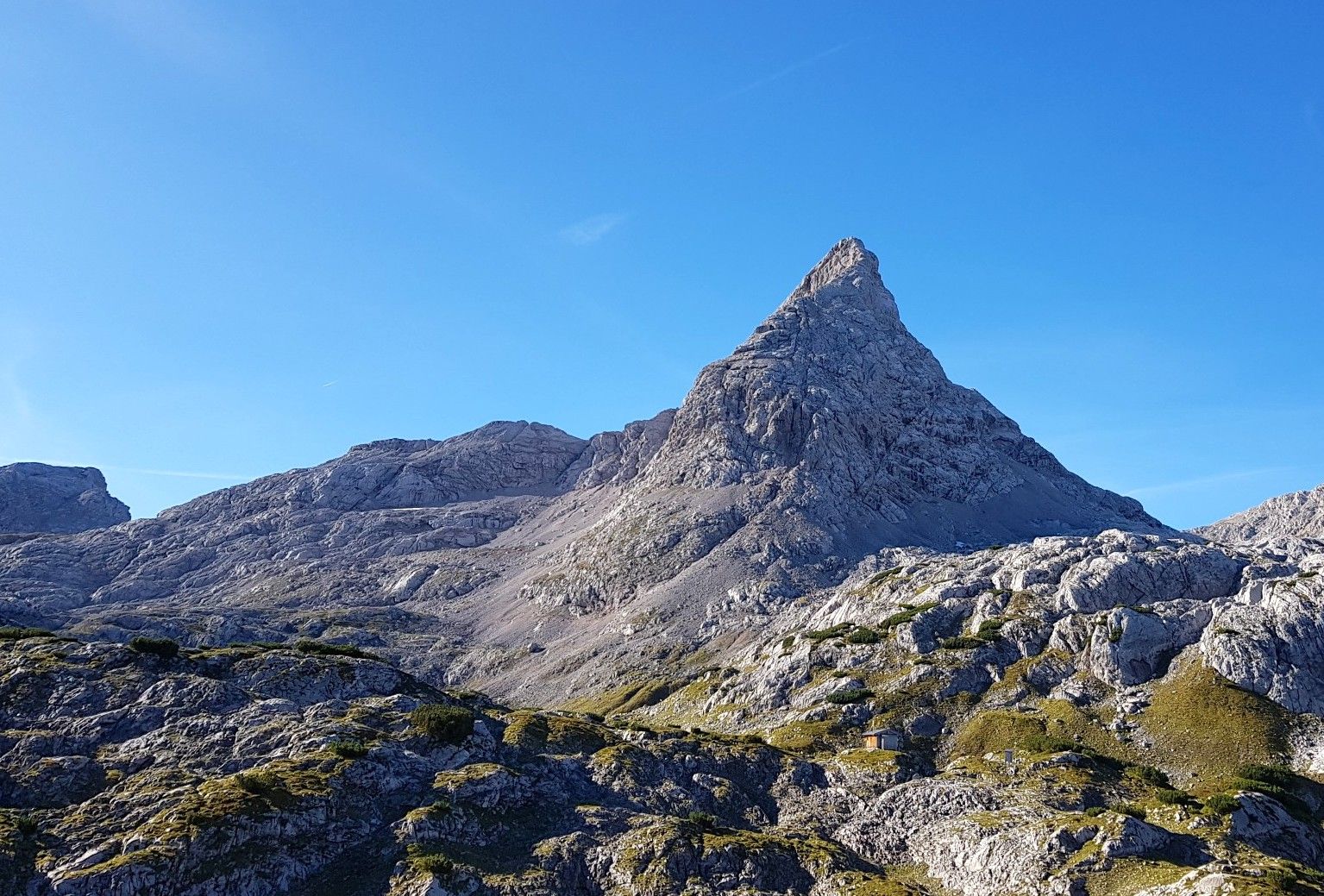
6 days in the Steinernes Meer – hiking over waves of rock
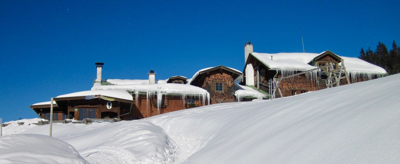
Mountain lodges for the cold season in the Alps
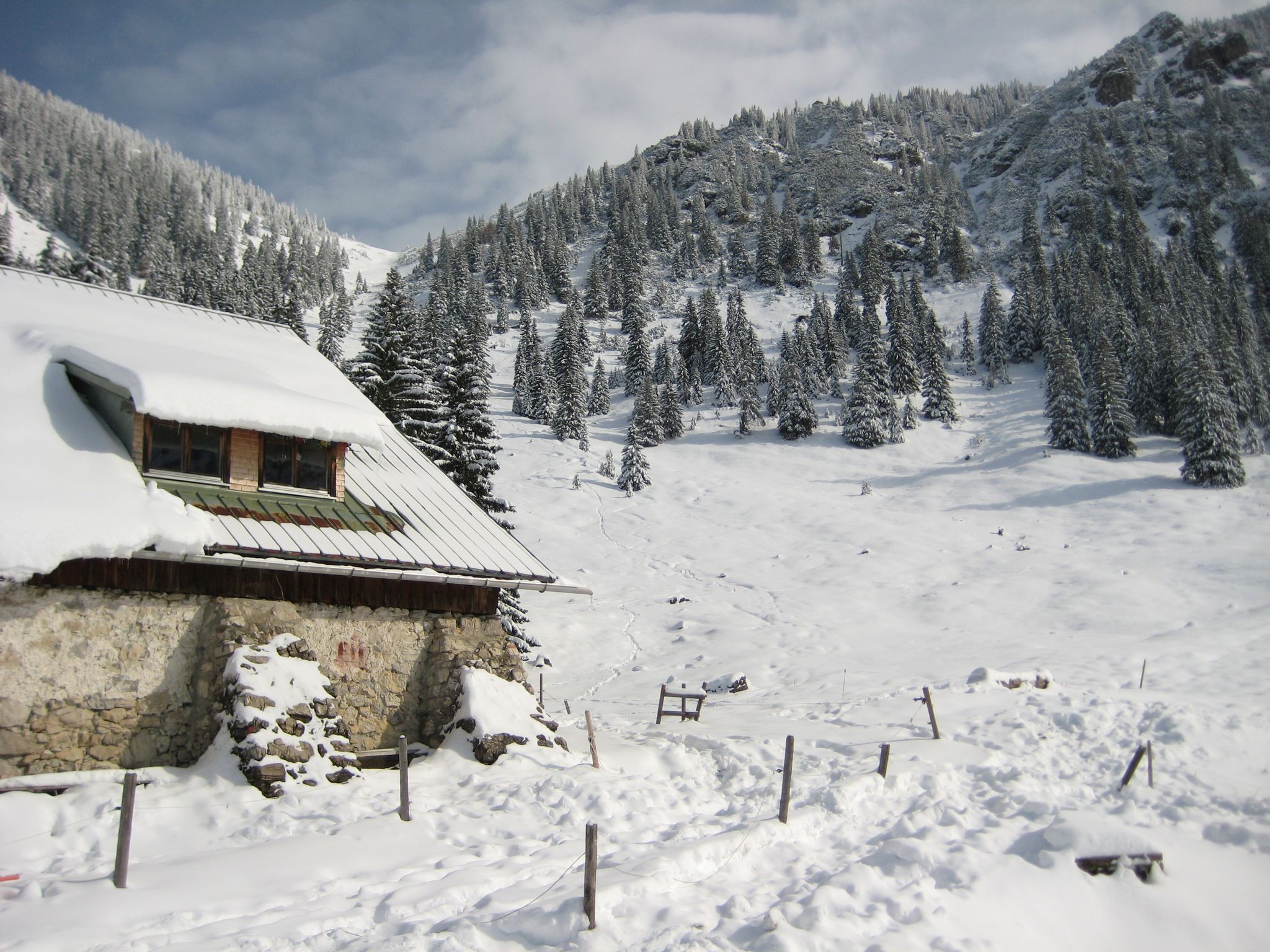
Southern Germany — mountain lodges for the cold season
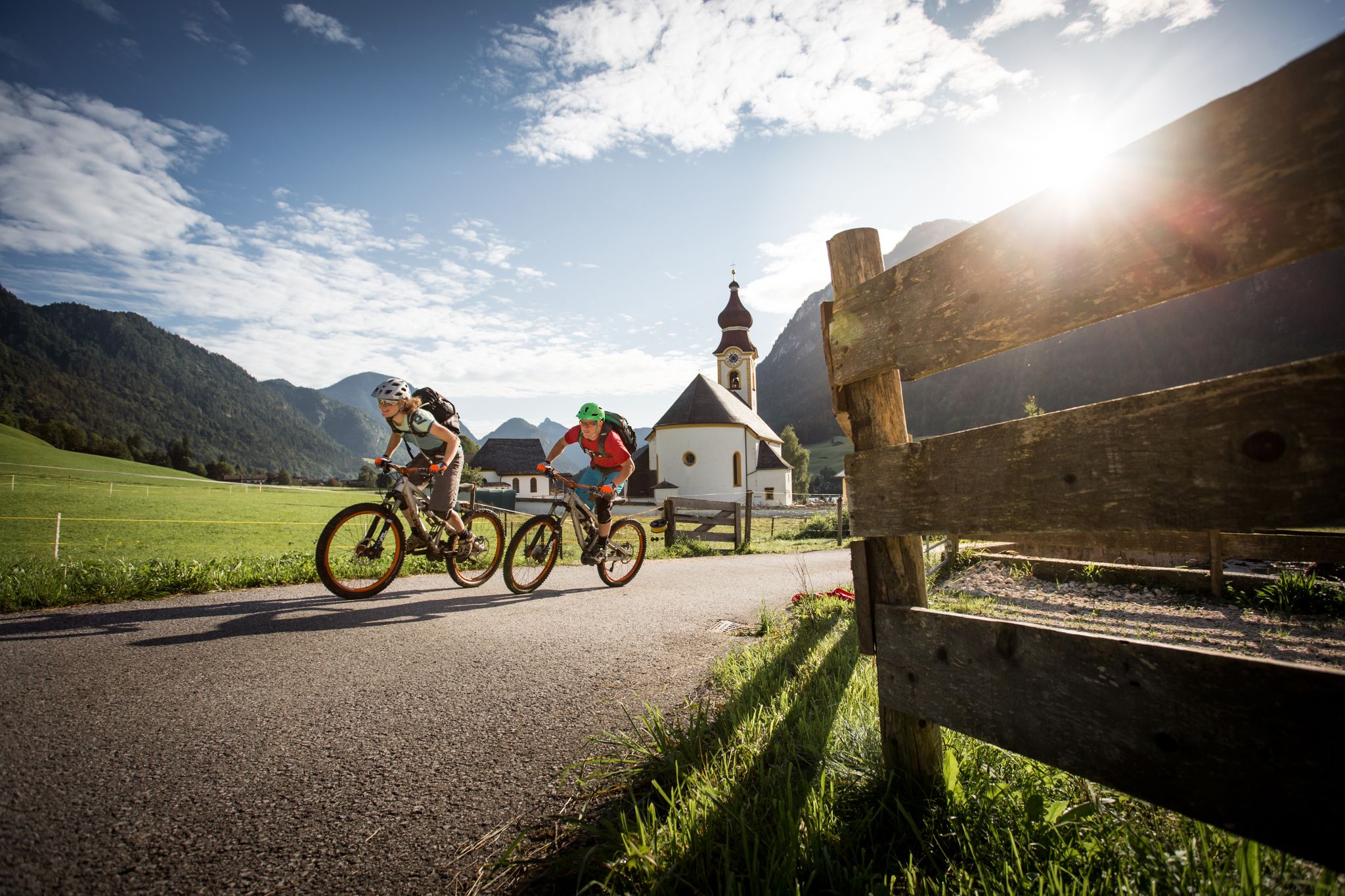
High up on the E-MTB – Watzmann Hochkönig Circuit
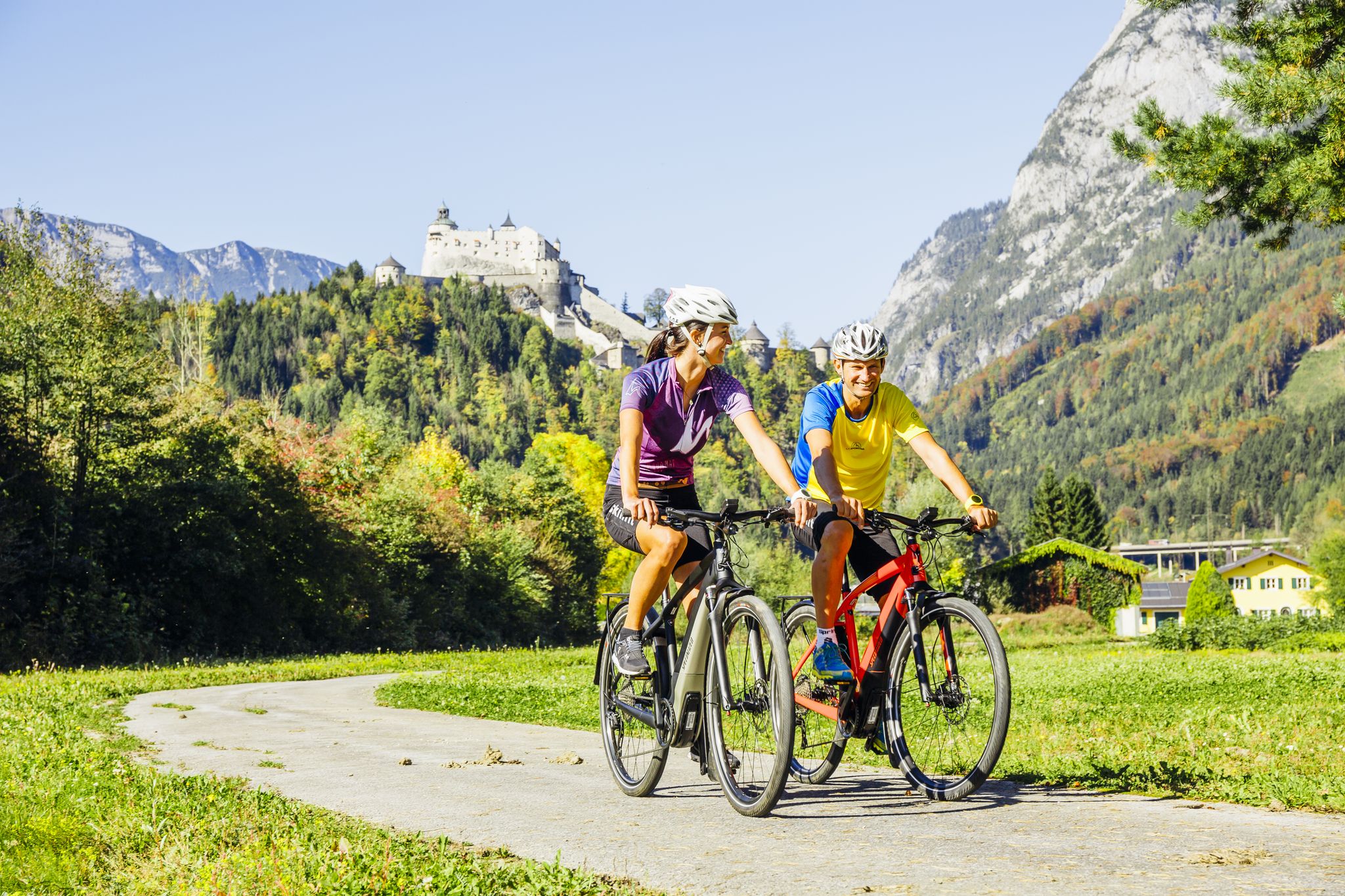
The Krimml-Passau Tauern Cycle Path and the Tauern Cycle Trail Circuit
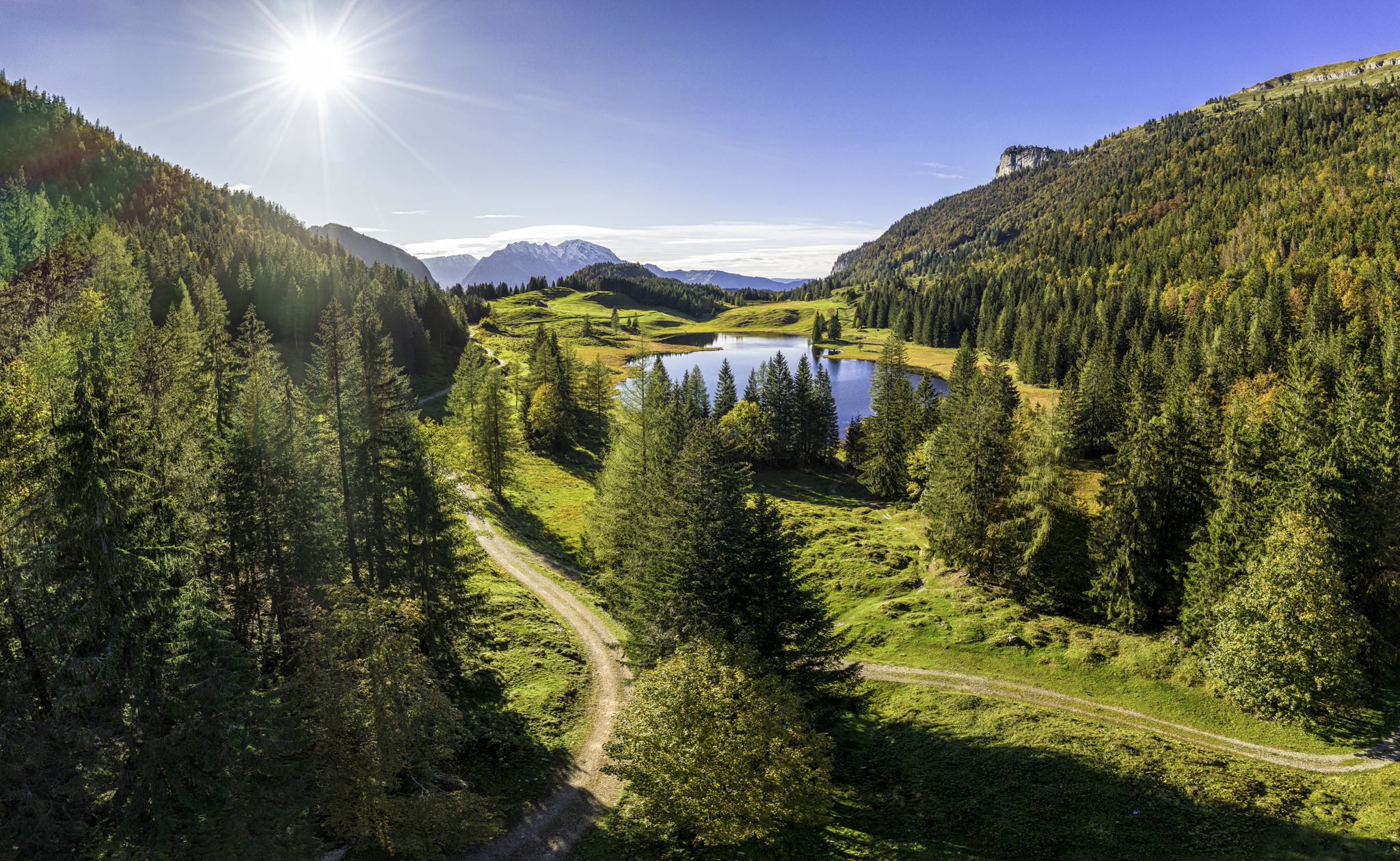
MTB to the most beautiful alpine pastures in Austria’s Tennengau
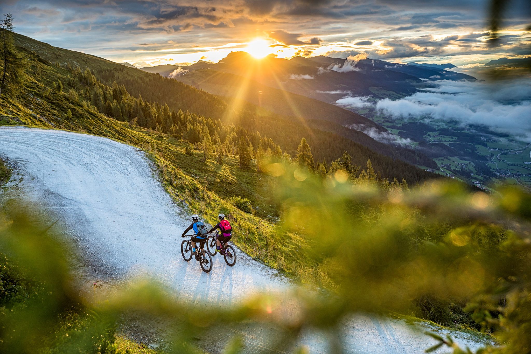
Top Tour tips from the bike hotels in Austria’s SalzburgerLand
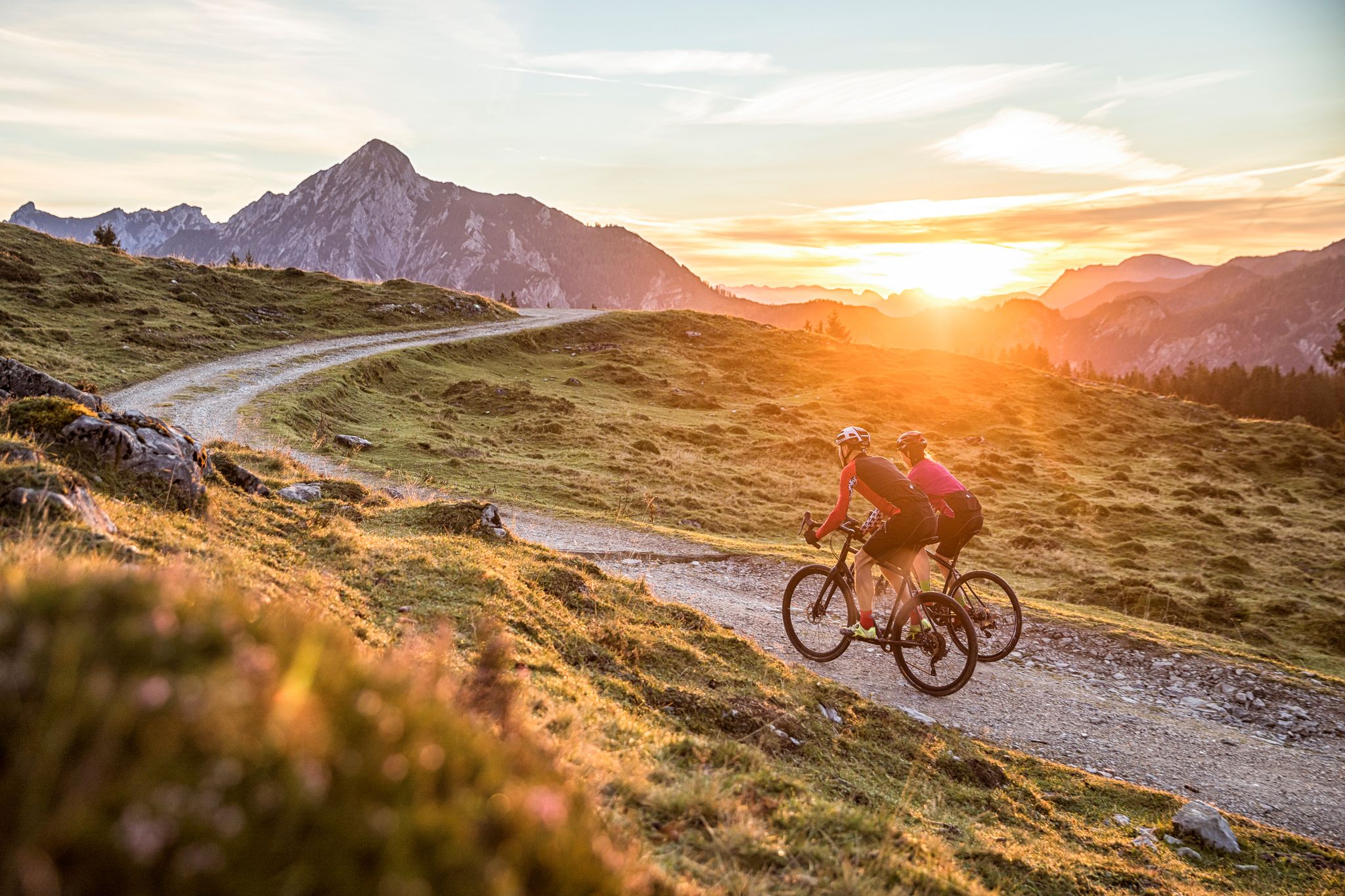
Bike Hotels im Salzburgerland
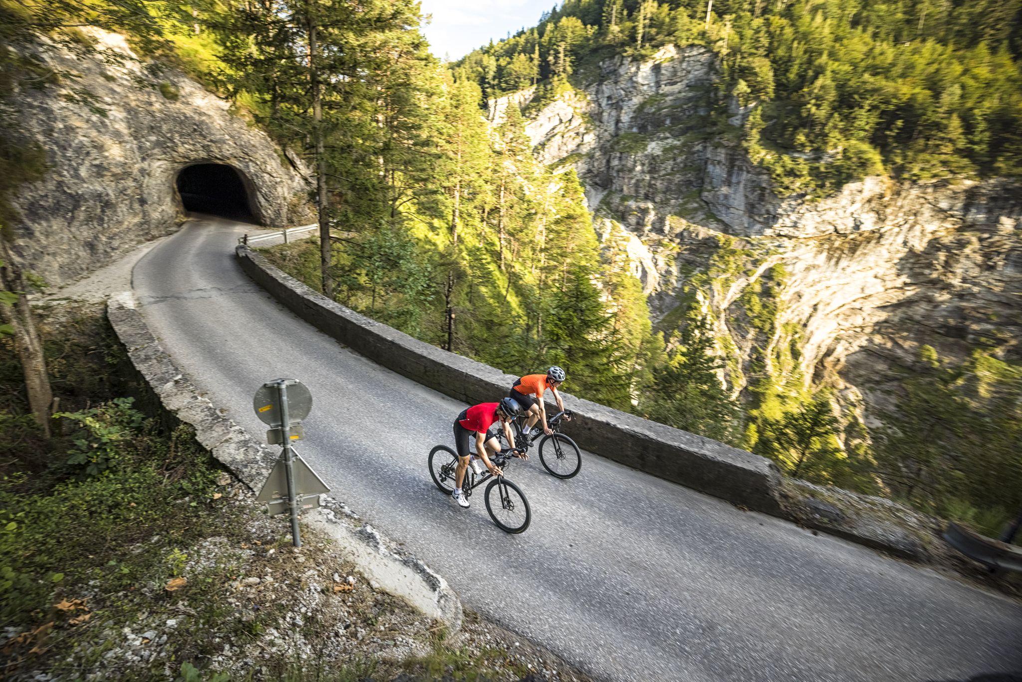
Graveltouren im SalzburgerLand – Stadt und Umgebung
Other adventures around Golling an der Salzach


Tips from the Community

If you hike the route as suggested (1-2-3 etc) the last part above the waterfall is difficult, one misstep or wet wheather and it becomes dangerous/sketchy. Very beautiful there but be prepared :-)
0
0

Nice new summit cross on the Schwarzer Berg
0
0

The photo shows the Salzachklamm and not the Lammerklamm...
0
0

When I saw them, I immediately thought of Jacob's Ladder
0
0

The Salzachöfen are considered a secret tip among Austrian gorges. The gorge, up to an incredible 80 meters deep, is only a few meters wide at its narrowest point. Within the last 10,000 years, the Salzachklamm has formed as the mountain river Salzach has dug deeper and deeper into the calcareous rock. Since the 19th century, the Salzachklamm has been made accessible to tourism with elaborate paths and trails.
1
0

This is not the Lammerklamm!
0
0

A bike detour to the Golling Waterfall is particularly worthwhile for nature lovers and photography enthusiasts. Just a few kilometers from the Tauern Cycle Path, a short climb from the center of Golling an der Salzach leads through an idyllic forest landscape directly to the entrance of the waterfall. The Golling Waterfall is one of Salzburg's most impressive natural monuments: The water plunges about 75 meters down over two waterfalls, providing pleasant refreshment on hot days. The path to the edge of the waterfall is well-maintained but can be covered on foot – bikes can be parked at the entrance. This detour offers a pleasant change from the river landscape and can be easily combined with a short stay in the town of Golling, perhaps for a refreshment stop or a visit to the nearby Bluntau Valley. Ideal for a varied bike tour with a nature experience.
2
0
Frequently Asked Questions
How many bus-accessible hiking trails are available around Golling an der Salzach?
There are over 10 bus-accessible hiking trails around Golling an der Salzach, offering a range of difficulties from easy strolls to more challenging mountain ascents. The komoot community has rated these routes highly, with an average score of 4.6 stars from over 1,400 reviews.
Are there any easy, family-friendly hikes accessible by bus from Golling an der Salzach?
Yes, Golling an der Salzach offers several easy and family-friendly options. The Golling Castle – Path Along the Salzach River loop from Golling an der Salzach is a moderate route that follows the Salzach River, offering gentle terrain suitable for families. The nearby Bluntautal Nature Reserve also features serene paths along the Torrener Ache river, perfect for a relaxing outing.
Can I find circular hiking routes that start and end at a bus station?
Absolutely. Many of the trails are designed as circular routes for convenience. For example, the Hochreithalm – Egelsee Pond loop from Golling an der Salzach is a moderate circular hike that takes you through varied landscapes, including the scenic Egelsee recreation area.
What natural attractions can I see along these bus-accessible hiking trails?
The region is rich in natural beauty. You can explore the impressive Gollinger Waterfall, a 75-meter cascade, or the dramatic Salzachöfen gorge with its deep chasms and unique rock formations. The Golling Waterfall – Stairway to Hexenkesselsteg loop from Pass Lueg is a great option to experience the waterfall.
Are there any dog-friendly hiking trails accessible by bus?
Many trails in the Golling an der Salzach area are dog-friendly, provided your dog is kept on a leash, especially in nature reserve areas like Bluntautal. The Golling Castle – Path Along the Salzach River loop is generally suitable for dogs, offering open paths along the river.
What is the best time of year to hike from bus stations in Golling an der Salzach?
The best time to hike is typically from late spring to early autumn (May to October). During these months, the weather is generally pleasant, and all trails are usually accessible. Autumn offers particularly stunning scenery with vibrant fall foliage, especially around the Bluntautal Nature Reserve.
Are there any challenging hikes for experienced trekkers accessible by bus?
Yes, for those seeking a challenge, the region offers more demanding routes. The Black Mountain Hut – Schwarzer Berg Summit loop from Pass Lueg is a difficult hike with significant elevation gain, leading to panoramic views from the Schwarzer Berg Summit.
Can I find hikes that include a stop at a cafe or restaurant?
Many routes pass by or lead to traditional alpine huts (Almhütten) or local eateries where you can enjoy refreshments. The Hochreithalm – Egelsee Pond loop, for instance, offers opportunities for a break at the Hochreithalm, a popular stop for hikers.
Are there any less crowded hiking options from bus stations in Golling an der Salzach?
While popular spots like the Gollinger Waterfall can attract visitors, exploring trails slightly off the main tourist paths or visiting during off-peak hours can offer a more tranquil experience. The paths within the Bluntautal Nature Reserve, especially further into the valley, often provide serene moments away from the crowds.
What are the typical durations for these bus-accessible hikes?
The durations vary significantly depending on the route's length and difficulty. Easy strolls can take as little as 2-3 hours, while moderate hikes like the Salzachklamm – Little Labyrinth loop from Golling an der Salzach typically range from 3-4 hours. More difficult routes, such as the Black Mountain Hut – Schwarzer Berg Summit loop, can take 6 hours or more.
Are there any winter hiking opportunities from bus stations?
While some higher-altitude trails may be inaccessible due to snow, many lower-lying paths and routes in the valleys, such as those in the Bluntautal, are suitable for winter hiking or snowshoeing, offering a magical, snow-covered landscape. Always check local conditions and trail accessibility before heading out in winter.
Most popular routes around Golling an der Salzach
Most popular attractions around Golling an der Salzach

Get inspired with the komoot mobile app


Explore more
Browse the best Hikes in other regions.
