The best traffic-free bike rides around Weißenohe
4.7
(730)
7,521
riders
44
rides
Road cycling around Weißenohe is characterized by the diverse topography of the Fränkische Schweiz region, featuring rolling hills, picturesque river valleys, and varied ascents. The area is situated within the Naturpark Fränkische Schweiz - Frankenjura, providing access to protected landscapes. Cyclists encounter a mix of terrain, from gentle gradients along valleys like the Wiesenttal to more challenging climbs near locations such as Tiefener Berg. This landscape offers a range of no traffic road cycling routes suitable for different skill levels.
…Last updated: July 10, 2026
5.0
(1)
17
riders
Moderate road ride. Good fitness required. Mostly well-paved surfaces and easy to ride.
5.0
(1)
10
riders
Moderate road ride. Good fitness required. Mostly well-paved surfaces and easy to ride.

Sign up for free
5.0
(2)
5
riders
69.1km
03:53
1,090m
1,090m
Hard road ride. Very good fitness required. Some segments of this route may be unpaved and difficult to ride.
5.0
(2)
8
riders
Moderate road ride. Good fitness required. Mostly well-paved surfaces and easy to ride.
9
riders
Moderate road ride. Good fitness required. Mostly well-paved surfaces and easy to ride.
Get access to more routes and recommendations from other explorers.
Sign up for free
Already have an account?
Our route recommendations are based on thousands of hikes, rides, and runs completed by other people on komoot.
Start today with a free account
Your next adventure awaits.
Login or Signup
Popular around Weißenohe

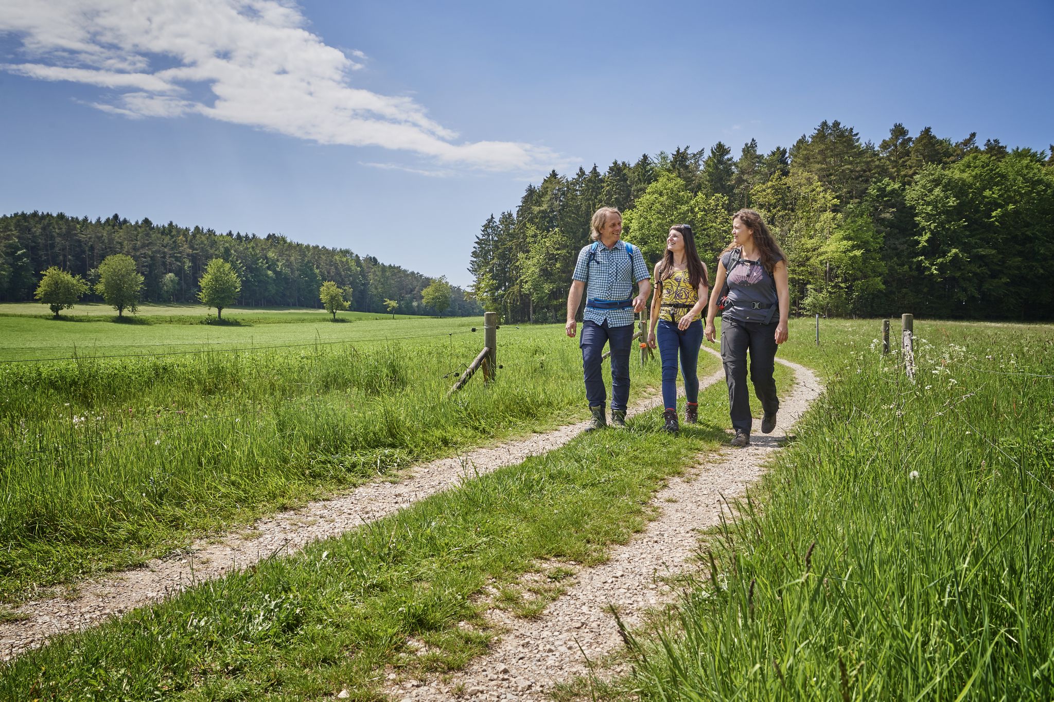
No time for boredom – family hikes with a fun factor in Bayern
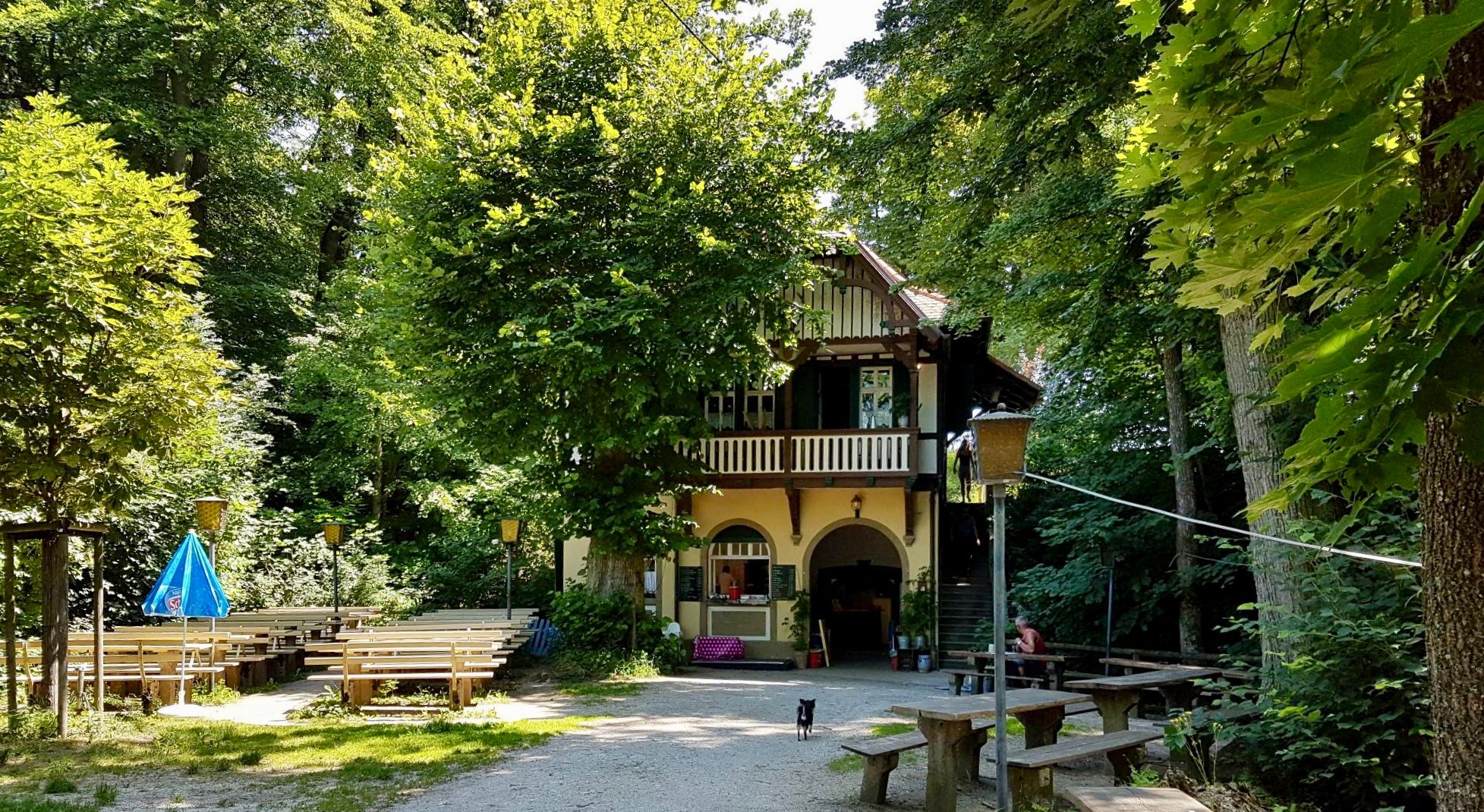
Hops, barley & beer — hiking with VGN leisure tips through Franconia

Hike & Beer in Franconia and Upper Palatinate — the VGN leisure tips
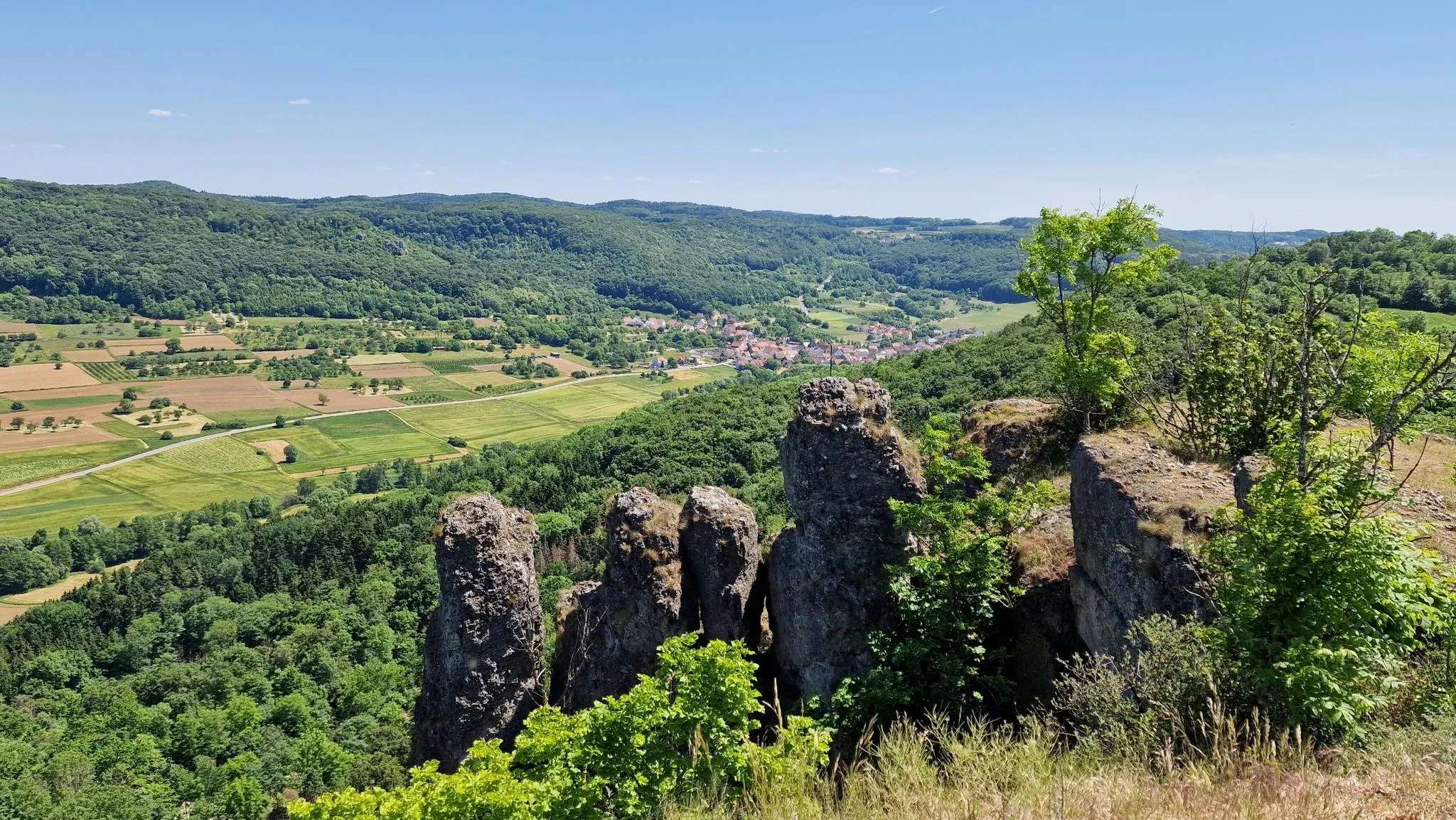
Franconian Switzerland — on the trace of the Purity Law
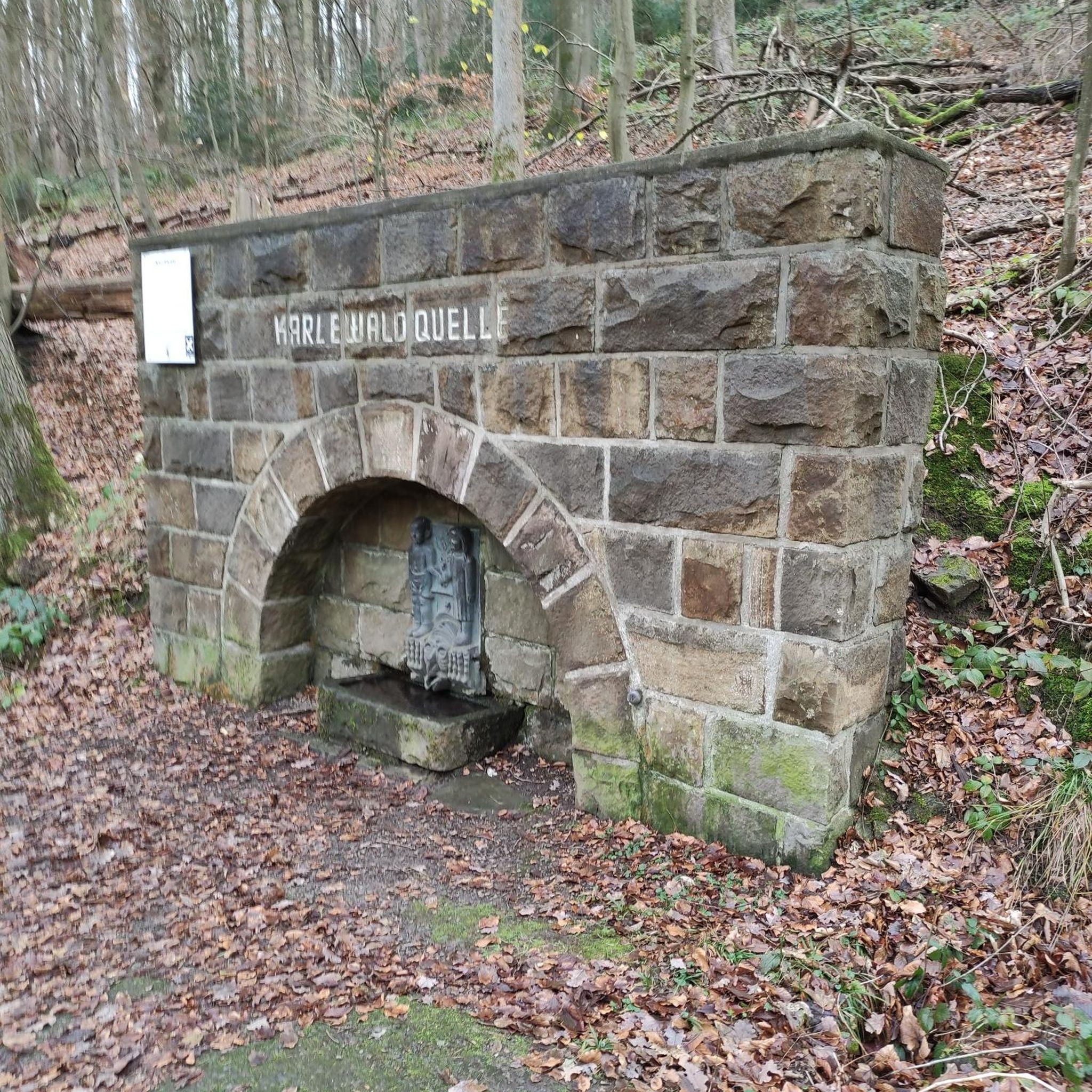
Delightful hiking in Franconian Switzerland
Traffic-free bike rides around Weißenohe

Traffic-free bike rides around Weißenohe
Other adventures around Weißenohe


Tips from the Community

Not heavily trafficked road through the forest.
0
0

A visit to the Walburga Church is worthwhile!!
0
0

Really great section and super asphalt in a mega beautiful landscape
0
0


Unfortunately, there wasn't a wine that good here. 😁
0
1
Currently, the road through Haidling is completely closed or under construction. We pushed the bikes about 200 meters through the gravel. After that, the wonderful, shady road to Hormersdorf is completely to ourselves.
1
0
A nice, undulating back road in a beautiful landscape, no traffic. I'm happy to put up with the rough asphalt.
0
0

Great bike path with no bumps, potholes, etc. Much better than the state road next door with lots of speeders.
2
0
Frequently Asked Questions
How many no-traffic road cycling routes are available around Weißenohe?
There are over 40 dedicated no-traffic road cycling routes around Weißenohe. These routes cater to various skill levels, with a good mix of moderate and challenging options, ensuring a diverse experience for every cyclist.
What is the typical terrain like for road cycling in the Weißenohe area?
The terrain around Weißenohe, nestled in the Fränkische Schweiz, is characterized by its varied topography. You'll encounter rolling hills, picturesque valleys like the Wiesenttal and Leinleitertal, and occasional challenging climbs. This diverse landscape makes for an engaging ride, offering both scenic riverside paths and more demanding ascents.
Are there any easy or family-friendly no-traffic road cycling routes?
Yes, while many routes are moderate, there are several easier options perfect for a relaxed ride or for families. These routes often follow flatter sections through valleys, providing a pleasant experience away from heavy traffic. For a moderate option that offers a good balance, consider the City Gate and Hilpoltstein Castle – View of Hilpoltstein loop from Hiltpoltstein.
What kind of natural features can I expect to see along these routes?
The region is rich in natural beauty. You can discover stunning features like the Lillach Tufa Terraces, which are part of a cycling loop from Weißenohe. The area is also within the Naturpark Fränkische Schweiz - Frankenjura, offering protected landscapes and beautiful river valleys.
Are there any historical landmarks or cultural attractions along the no-traffic routes?
Absolutely! Many routes pass by or near charming historical sites. You can visit the historic Michelsberg War Memorial or explore the Gräfenberg Old Town. The Weißenohe Abbey Brewery is also a prominent local landmark that can serve as a starting or endpoint for various tours, offering a taste of Franconian culture.
What are some of the more challenging no-traffic road cycling routes?
For experienced cyclists seeking a challenge, the Weißenohe area offers routes with significant elevation gains. An example is the Road to Möchs – City Gate and Hilpoltstein Castle loop from Simmelsdorf-Hüttenbach, which features over 1000 meters of ascent. These routes often include steeper climbs like those near Wüstenstein and Siegritzberg, providing a rewarding workout.
Are there circular no-traffic road cycling routes available?
Yes, many of the no-traffic road cycling routes around Weißenohe are designed as circular loops, allowing you to start and end at the same point. This makes planning easier and offers a continuous scenic experience. The Steep Climb Near Hüttenbach – Riegelstein telecommunications tower loop from Oberndorf is a great example of a circular route.
Where can I find parking for these no-traffic road cycling routes?
Parking is generally available in and around Weißenohe, especially near popular starting points for cycling routes. Many towns and villages in the Fränkische Schweiz region offer designated parking areas for visitors. It's advisable to check local signage upon arrival for specific parking regulations.
What do other road cyclists enjoy most about cycling in Weißenohe?
The area is highly rated by the komoot community, with an average score of 4.7 stars. Reviewers often praise the diverse landscapes, the well-maintained roads perfect for road cycling, and the opportunity to explore charming Franconian towns and natural highlights away from heavy traffic.
Can I access these routes using public transport?
While Weißenohe itself has some public transport connections, accessing specific route starting points might require a combination of train and bus, or a short ride from a larger hub. The Fränkische Schweiz region is generally well-connected, but checking specific bus and train schedules for bike transport options is recommended for optimal planning.
Are there any viewpoints or scenic overlooks along the no-traffic routes?
Yes, the rolling hills and valleys of the Fränkische Schweiz offer numerous opportunities for scenic viewpoints. Routes often traverse elevated sections that provide panoramic vistas of the surrounding countryside, charming villages, and dense forests. Keep an eye out for designated viewpoints or simply enjoy the expansive views from higher elevations.
Most popular routes around Weißenohe
Most popular attractions around Weißenohe

Get inspired with the komoot mobile app


Explore more
Browse the best Road cycling routes in other regions.
