The best hikes from bus stations around Worpswede
4.5
(5150)
20,267
hikers
104
hikes
Bus station hiking trails around Worpswede traverse a landscape characterized by the Teufelsmoor, a vast moorland region, and the prominent Weyerberg hill. The area features flat agricultural land, narrow canals, and riverine landscapes along the Hamme and Wümme. Hikers can expect varied terrain, from open moorland to paths leading through meadows and past cultural sites.
Best bus station hiking trails around Worpswede
- The most popular bus station hiking route is The Käseglocke (Cheese Dome), Worpswede – Path to Weyerberg loop…
Last updated: July 10, 2026
4.5
(35)
99
hikers
Moderate hike. Good fitness required. Easily-accessible paths. Suitable for all skill levels.
4.8
(17)
54
hikers
Moderate hike. Good fitness required. Easily-accessible paths. Suitable for all skill levels.

Sign up for free
4.2
(11)
29
hikers
Easy hike. Great for any fitness level. Easily-accessible paths. Suitable for all skill levels.
3.3
(3)
32
hikers
5.04km
01:19
30m
30m
Easy hike. Great for any fitness level. Easily-accessible paths. Suitable for all skill levels.
4.7
(9)
22
hikers
5.88km
01:29
10m
10m
Easy hike. Great for any fitness level. Easily-accessible paths. Suitable for all skill levels.
Get access to more routes and recommendations from other explorers.
Sign up for free
Already have an account?
Our route recommendations are based on thousands of hikes, rides, and runs completed by other people on komoot.
Start today with a free account
Your next adventure awaits.
Login or Signup
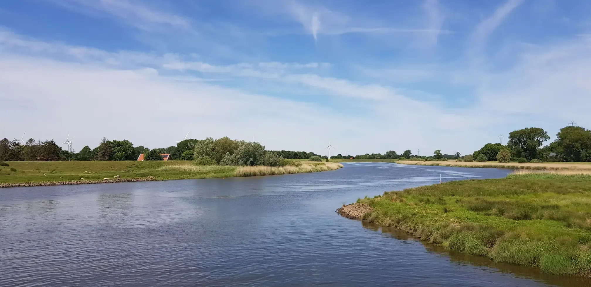
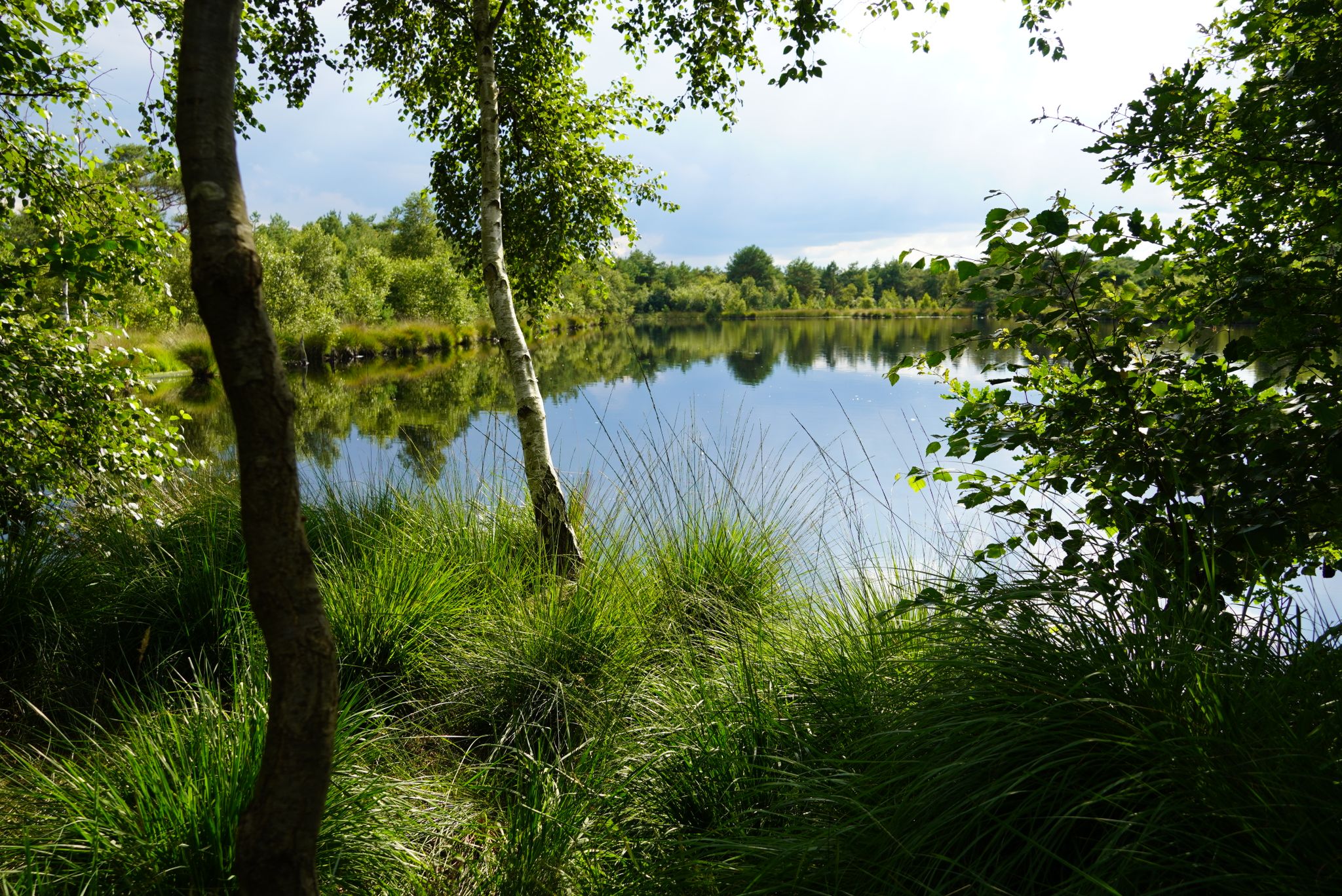
Other adventures around Worpswede


Tips from the Community

Take some time to visit the Vogeler train station. Enjoy the almost museum-like restaurant and travel back almost a hundred years in your thoughts. The station stood alone in the still undeveloped landscape. Steam locomotives ran at that time, many people traveled by train, and even more freight traffic had to be managed. The siding in front of the loading area testifies to this to this day. (SOURCE:https://www.worpswede-tipps.de/bahnhof_worpswede/ )
1
0


The Evangelical Lutheran parish church was completed in 1759 and is a landmark in the Teufelsmoor (Devil's Moor). Further information: https://de.wikipedia.org/wiki/Zionskirche_(Worpswede)
0
0

A truly good and worthwhile exhibition!
0
0
Unfortunately, it was cordoned off by construction fences.
0
1


Unfortunately, it's still closed. The renovations are taking a long time.
0
0

I just focused on my hike today. Next time I'll explore the moor path.
1
0
Frequently Asked Questions
How many bus-accessible hiking trails are available around Worpswede?
There are over 100 hiking trails around Worpswede that are easily accessible by bus, offering a wide range of options for exploring the region without a car. Many of these routes are considered easy or moderate, making them suitable for various fitness levels.
What kind of landscapes can I expect on bus-accessible hikes in Worpswede?
Worpswede's bus-accessible hikes offer a diverse range of landscapes. You can explore the expansive horizons and unique ecosystems of the Teufelsmoor, a vast moorland region, or enjoy panoramic views from the Weyerberg Hill. Many routes also feature picturesque riverine landscapes along the Hamme and Wümme, with wide meadows and tranquil water areas.
Are there easy, family-friendly hiking routes from Worpswede's bus stops?
Yes, Worpswede offers many easy, family-friendly routes accessible by bus. For example, the The Käseglocke (Cheese Dome), Worpswede – Path to Weyerberg loop from Worpswede is an easy 5.1 km loop that takes you past cultural landmarks and offers gentle ascents. Another great option is the Worpswede Art Hall – Haus im Schluh loop from Worpswede, which is also easy and about 5 km long, perfect for a leisurely family outing.
What are some notable natural attractions or landmarks I can see on these trails?
Many bus-accessible trails lead to or pass by significant natural and cultural landmarks. You might encounter the serene Broad Water lake, or explore the protected Borgfelder Wümmewiesen Nature Reserve. The Weyerberg Hill itself is a prominent feature offering great views. Some routes also pass by historical sites like the Kuhsiel Lock or the Dammsiel Lock.
Are there any circular hiking routes that start and end near a bus station?
Absolutely. Many of the trails around Worpswede are designed as circular routes, making them ideal for bus travelers. An example is the Highland Cattle Pasture – Worpswede station loop from Worpswede, an easy 5.9 km loop that starts and ends conveniently near the Worpswede bus station, offering a chance to see local wildlife.
What do other hikers say about the bus-accessible trails in Worpswede?
The bus-accessible trails in Worpswede are highly rated by the komoot community, with an average score of 4.5 stars. Reviewers often praise the region's tranquil moorland landscapes, the well-maintained paths, and the unique blend of nature and art that Worpswede offers. The ease of access via public transport is also frequently highlighted as a major benefit.
When is the best season to hike the bus-accessible trails in Worpswede?
The best seasons for hiking in Worpswede are spring and autumn. In spring, nature awakens with vibrant colors, while autumn offers stunning foliage. The flat terrain of the Teufelsmoor makes it enjoyable in most conditions, but always check local weather forecasts, especially for moorland areas which can be damp.
Are there any moderate difficulty trails accessible by bus for more experienced hikers?
Yes, there are several moderate trails for those looking for a bit more challenge. The Haus im Schluh – Niedersachsenstein (Lower Saxony Stone) loop from Barkenhoff is a moderate 10.5 km route that includes some elevation gain, offering rewarding views. Another moderate option is the Tarmstedter Moor – Tarmstedt Moor Nature Trail loop from Hinter dem Wieh Brock, covering nearly 10 km through the distinctive moorland.
Can I find cafes or places to eat near the bus stations or along the hiking routes?
Worpswede is known for its artistic community and offers various cafes and eateries, particularly within the village center which is well-served by bus routes. Many hiking trails, especially those integrated with cultural sites, will have options for refreshments. The 'Coffee Route Trail' mentioned in regional research specifically highlights places to enjoy coffee and learn about local history.
What kind of terrain should I expect when hiking in the Teufelsmoor region?
When hiking in the Teufelsmoor, you can expect predominantly flat terrain, characteristic of a vast moorland region. The paths are generally well-marked and can range from natural earth trails to gravel paths. While mostly flat, the unique ecosystem features mystical pools and distinctive vegetation, offering a unique walking experience. Some areas might be damp, especially after rain.
Are there any specific maps or resources for navigating the Teufelsmoor trails?
For navigating the extensive moorland, a specialized 'Wege ins Moor' map is available. This map provides detailed routes for both hiking and cycling, helping you explore the Teufelsmoor effectively. While not a logistical problem requiring an external link, it's a useful local resource to be aware of for detailed planning.
Most popular routes around Worpswede
Most popular attractions around Worpswede

Get inspired with the komoot mobile app


Explore more
Browse the best Hikes in other regions.
