The best hikes from bus stations around Simmerath
4.6
(17875)
62,164
hikers
368
hikes
Bus station hiking trails around Simmerath offer access to the diverse landscapes of the Eifel National Park, characterized by dense forests, rolling hills, and significant water bodies like the Rursee and Urftsee. The region provides a variety of routes, from gentle paths along lake shores to more challenging excursions through varied terrain. These trails are designed to be accessible via public transport, allowing hikers to explore the natural beauty of Simmerath without a car.
Best bus station hiking trails around…
Last updated: September 30, 2026
4.8
(1361)
4,462
hikers
16.8km
04:38
290m
290m
Moderate hike. Good fitness required. Easily-accessible paths. Suitable for all skill levels.
4.8
(621)
2,109
hikers
15.4km
04:23
330m
330m
Moderate hike. Good fitness required. Easily-accessible paths. Suitable for all skill levels.

4.7
(408)
1,276
hikers
Hard hike. Very good fitness required. Mostly accessible paths. Sure-footedness required.
4.7
(319)
1,043
hikers
Easy hike. Great for any fitness level. Easily-accessible paths. Suitable for all skill levels.
4.8
(186)
633
hikers
21.6km
06:35
710m
710m
Hard hike. Very good fitness required. Easily-accessible paths. Suitable for all skill levels.
Get access to more routes and recommendations from other explorers.
Already have an account?
Our route recommendations are based on thousands of hikes, rides, and runs completed by other people on komoot.
Start today with a free account
Your next adventure awaits.
Popular around Simmerath
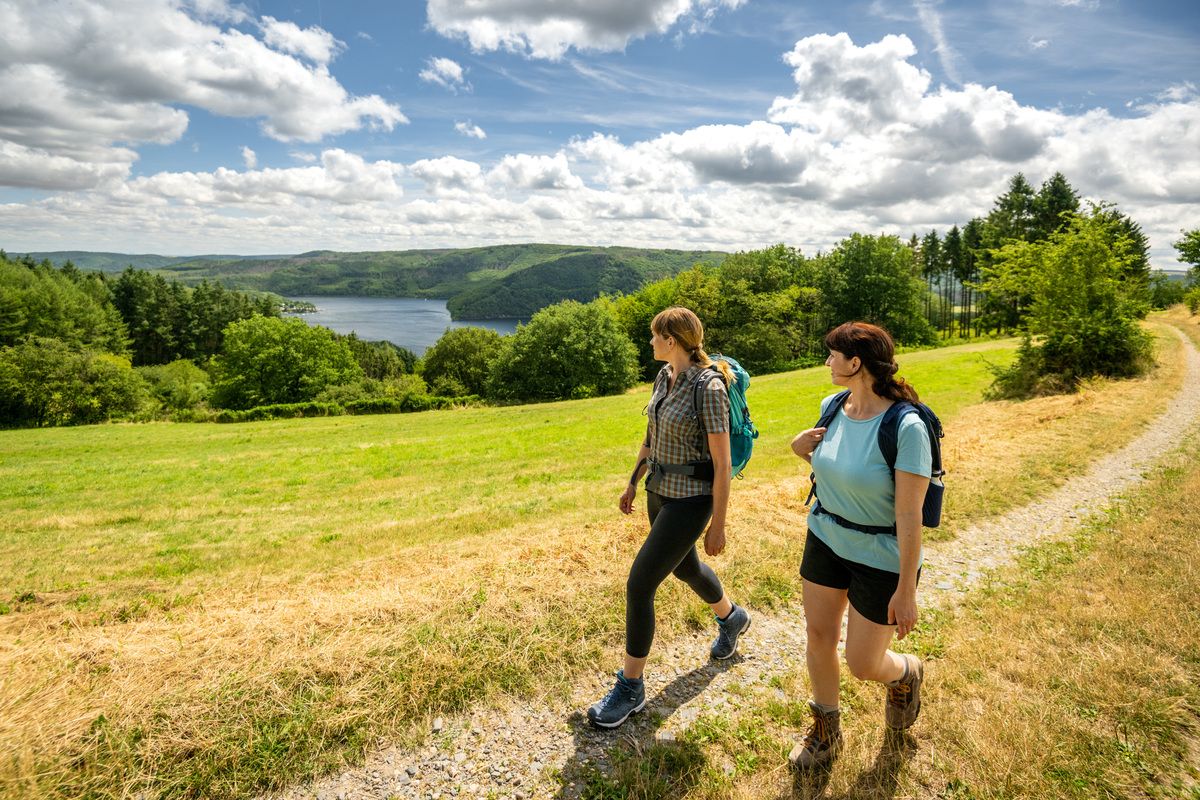
Shaped by rock and water – hikes in the Rureifel region
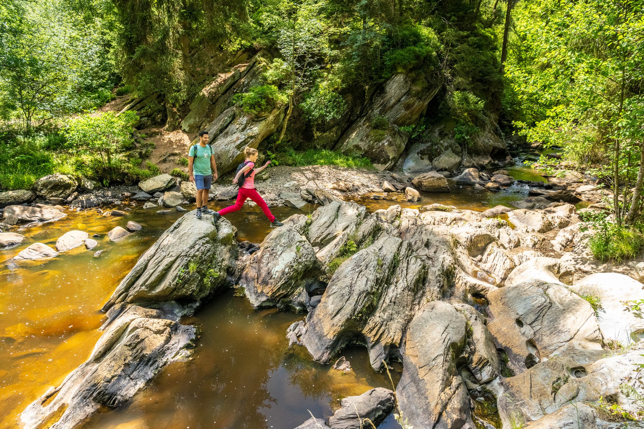
The Eifelsteig's 8 partner trails in Aachen region
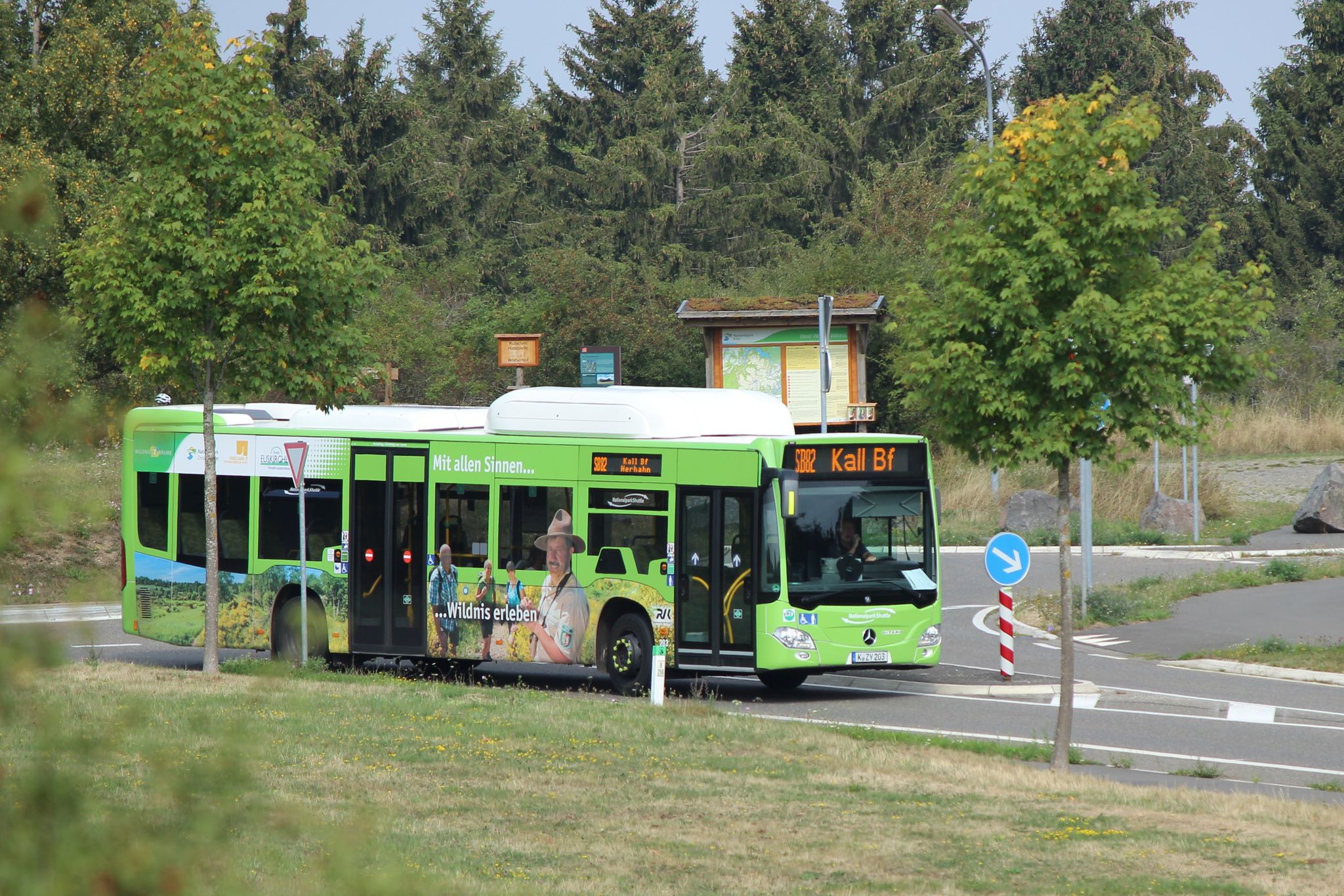
Next stop: Wilderness! – Germany’s Eifel National Park by public transport
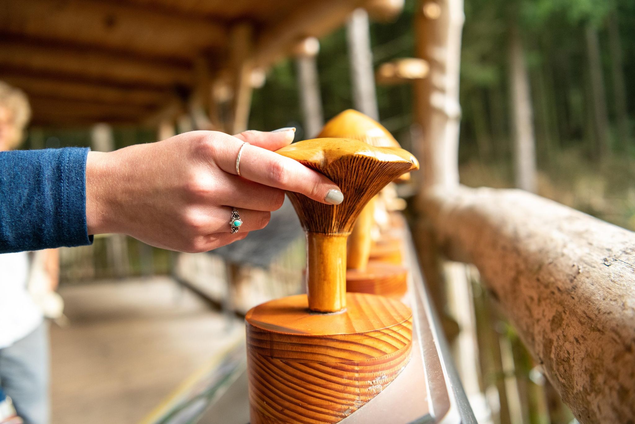
Accessible routes in Germany’s Eifel National Park
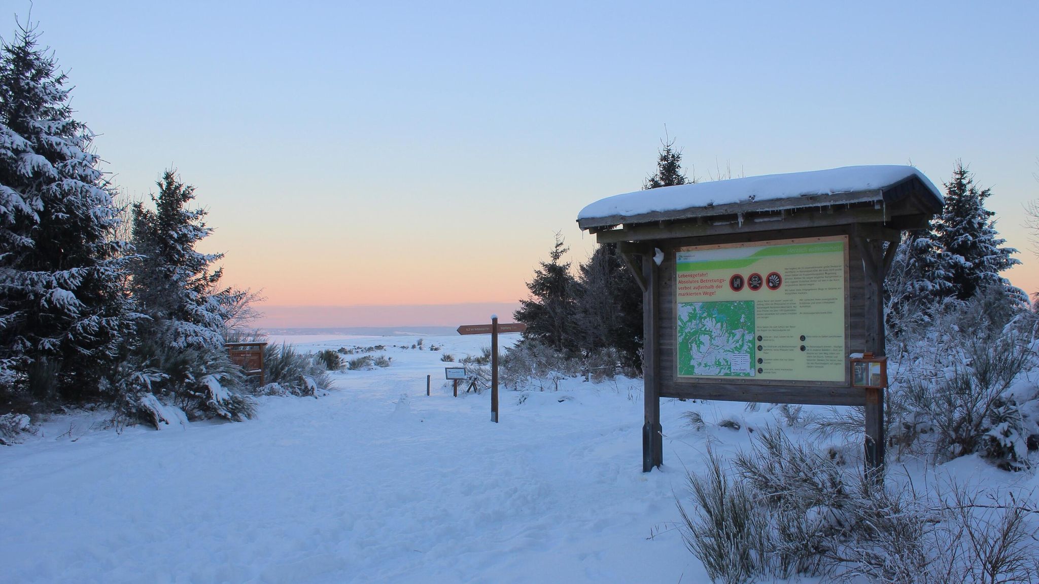
Winter hiking trails in Eifel National Park
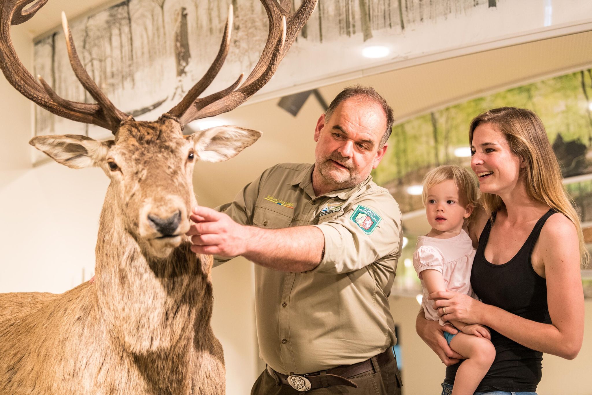
Eifel National Park information centres and facilities
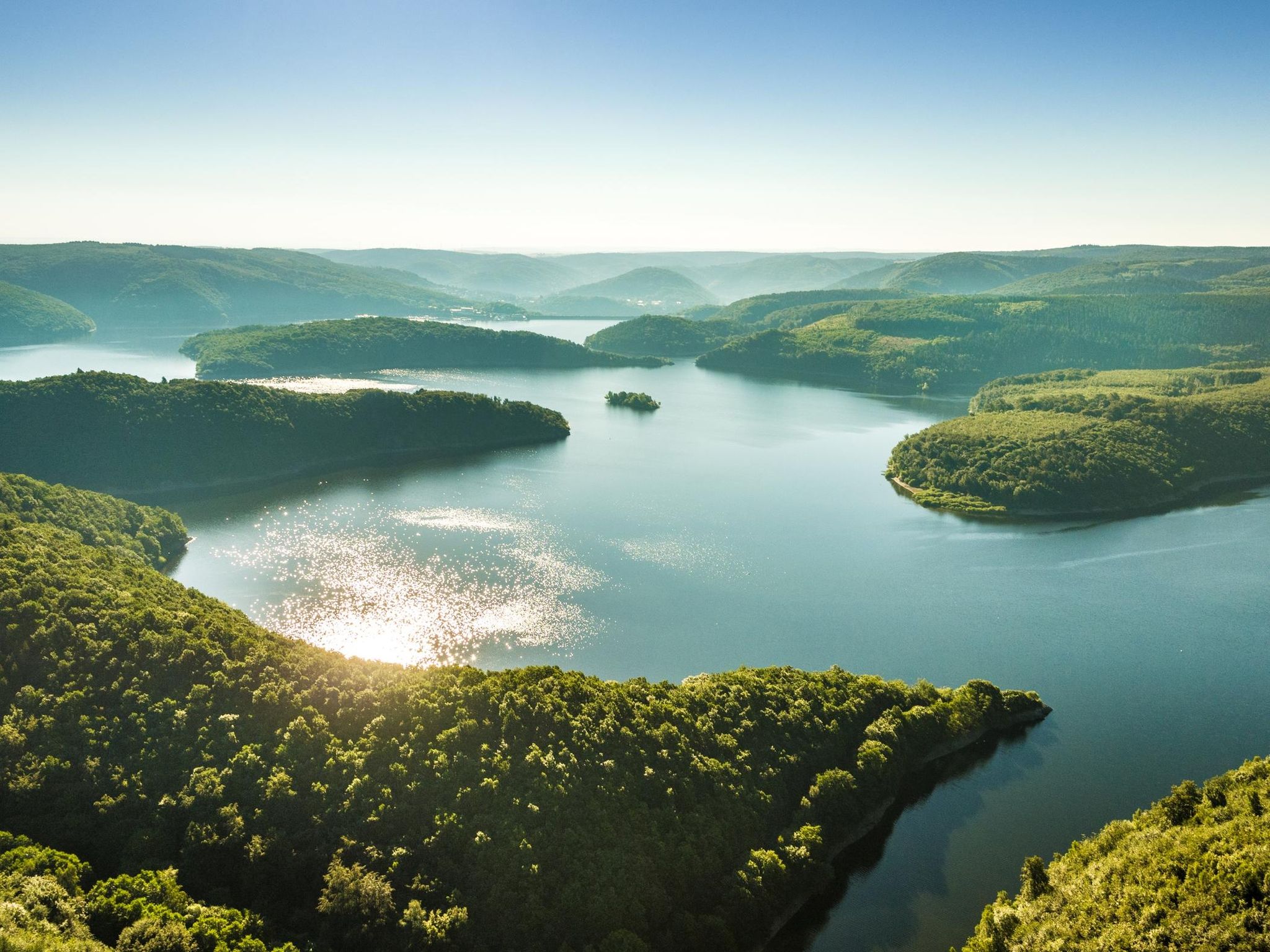
Themed tours around the Eifel National Park
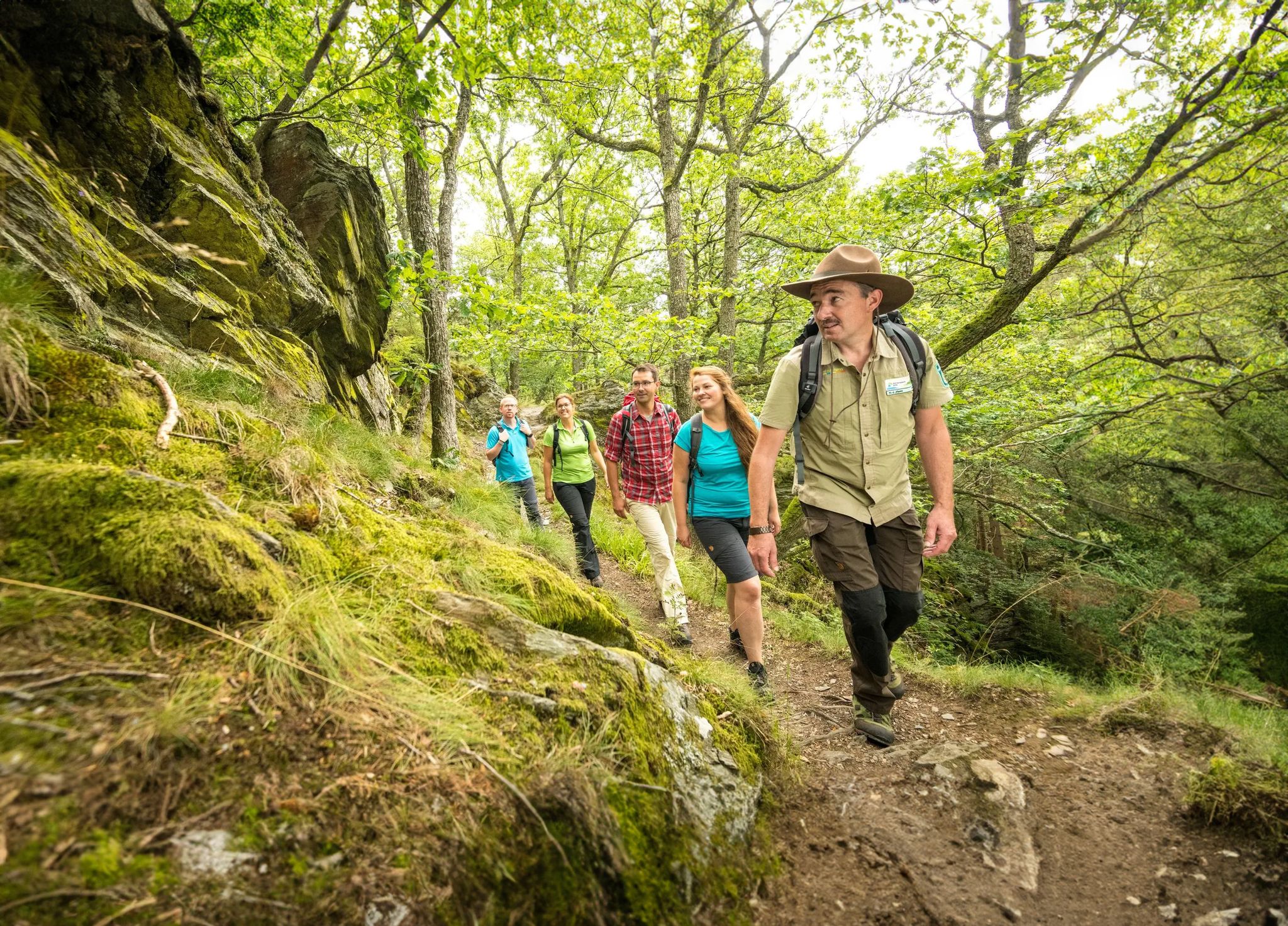
Wilderness Trail – four stages through Eifel National Park

Volcanoes, water, forest – the partner trails of the Eifelsteig
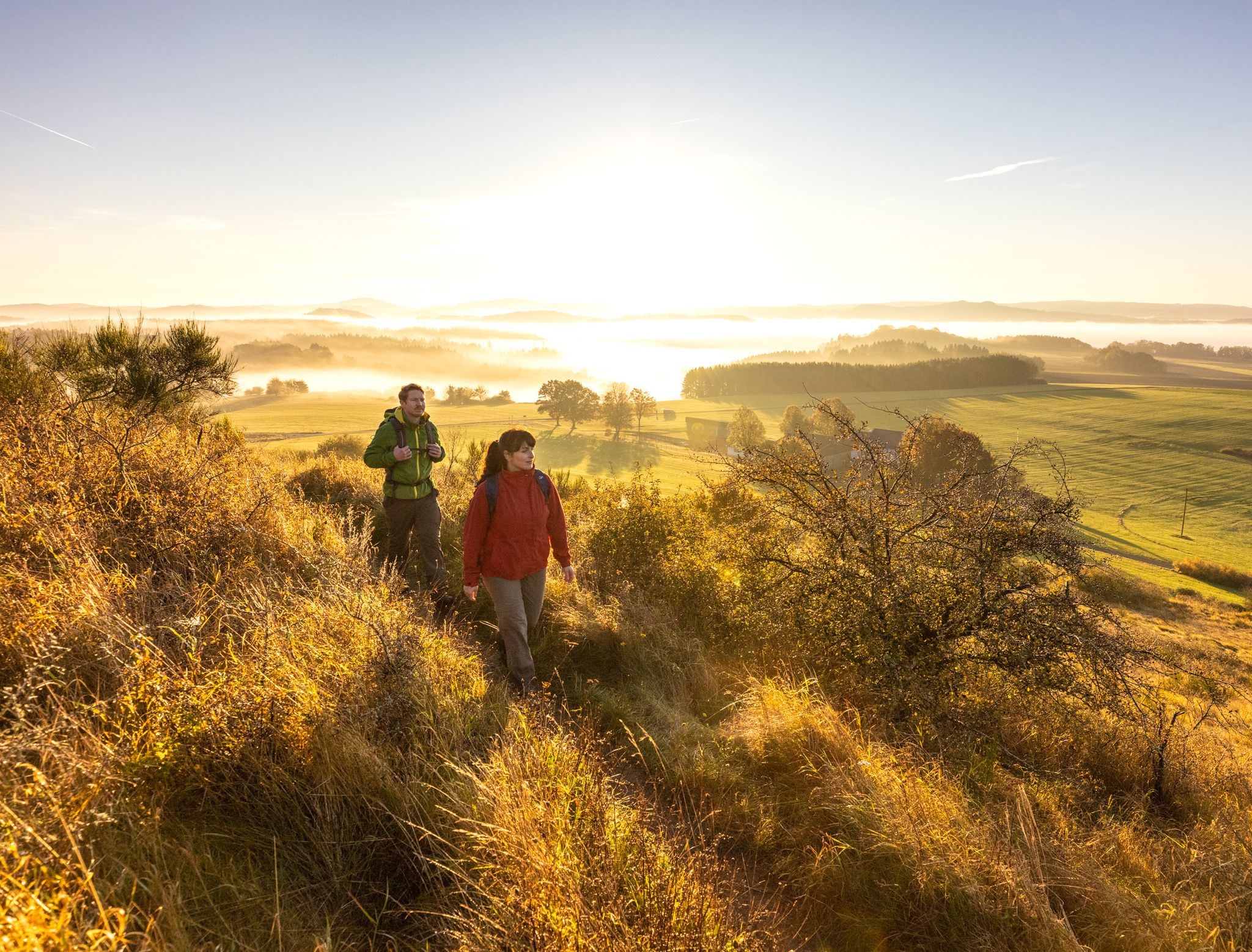
The 15 stages of the Eifelsteig Trail — Between rocks and water
Other adventures around Simmerath


Tips from the Community

“Everything must be acquired, it seems, when hiking and elsewhere too. (…) also because the landscape is not like a bad book, where you can skip the middle pages and still understand the ending, no, you have to go along with its quiet transitions. Because landscapes, too, don't put up with everything; like people, they have a face that everyone can see, an external and indifferent face, and only when you talk to them does the countenance emerge, the warm and inner life, the beautiful secret.” (Max Frisch: “Vom Wandern”)
0
0

Wonderful view of the Rursee and Einruhr
0
0


During the week it's not so crowded...
0
1

Here the Obersee flows into the Rursee.
1
0

great view on one of the most beautiful water bodies in the region
0
0
Frequently Asked Questions
How many hiking trails are accessible from bus stations in Simmerath?
Simmerath offers a wide selection of hiking trails accessible by bus, with over 350 routes available. This includes 180 easy, 152 moderate, and 26 difficult trails, ensuring options for all skill levels directly from public transport stops.
What kind of landscapes can I expect on bus-accessible hikes around Simmerath?
Hikes around Simmerath, particularly those accessible by bus, feature diverse landscapes including dense forests, rolling hills, and stunning water bodies like the Rursee and Urftsee. Many routes traverse parts of the Eifel National Park, offering unspoiled nature and scenic views.
Are there any easy, family-friendly bus station hikes in Simmerath?
Yes, Simmerath has numerous easy routes suitable for families. For a pleasant and accessible option, consider the Panoramic View of the Rursee, an easy 6.5 km loop that offers beautiful lake views without significant elevation gain.
Can I find circular hiking routes starting from bus stations in Simmerath?
Many of the bus-accessible trails in Simmerath are designed as circular routes, allowing you to start and end your hike at the same bus stop. This makes planning your public transport journey straightforward. The View of Rursee – View of Einruhr and the Rursee loop from Einruhr is a great example of a moderate circular route.
What do other hikers enjoy most about the bus-accessible trails in Simmerath?
The bus-accessible trails in Simmerath are highly rated by the komoot community, with an average score of 4.6 out of 5 stars from over 16,000 ratings. Hikers frequently praise the region's natural beauty, the well-maintained paths, and the stunning views of the Rursee and surrounding forests.
Are there any bus station hikes that offer views of the Rursee?
Absolutely. The Rursee is a central feature of the region, and many bus-accessible trails offer spectacular views. The View of the Rursee – Rursee and Rurberg loop from Rurberg is a moderate 15.3 km route specifically designed to showcase the lake's beauty.
Are there any longer or more challenging bus-accessible hikes for experienced hikers?
For experienced hikers seeking a challenge, Simmerath offers several difficult routes accessible by bus. An example is the View of the Rursee – View of the Rur Reservoir loop from Ostufer des Obersees mit Felshängen, a demanding 25.3 km trail with significant elevation changes and dramatic rocky slopes along the Obersee.
What interesting landmarks or attractions can I see along bus-accessible hiking routes?
Along bus-accessible routes, you can discover various points of interest. The region is known for its lakes and dams, such as the historic Urft Dam. You might also encounter historical sites like the Buhlert Bunkers. For specific highlights, consider routes that pass by viewpoints like the View of Hengebach Castle or natural features like the Obersee Dam and Waterfall.
Are there any bus station hikes that pass by waterfalls?
Yes, some bus-accessible routes will lead you to beautiful water features. You can find trails that pass by highlights such as the Erkensruhr Waterfall at the Confluence with the Rur or the Small Waterfall on the Weser, offering picturesque spots for a break.
Are bus-accessible trails in Simmerath suitable for hiking with dogs?
Many trails in Simmerath are dog-friendly, allowing you to enjoy the natural surroundings with your canine companion. It's always advisable to keep dogs on a leash, especially in nature reserves or near wildlife. The varied terrain and forest paths provide an excellent environment for walks with your dog.
What is the 'Waterland Route' and how can I access it by bus?
The Waterland Route is a popular moderate hike spanning approximately 16.7 km, showcasing the region's aquatic landscapes. It is designed to be accessible via public transport, with trailheads conveniently located near bus stops, allowing you to immerse yourself in the natural beauty of the Rursee area.
Most popular routes around Simmerath
Most popular attractions around Simmerath

Get inspired with the komoot mobile app


Explore more
Browse the best Hikes in other regions.
