Triberg im Schwarzwald
Triberg im Schwarzwald
The best traffic-free bike rides around Triberg
4.4
(118)
593
riders
22
rides
No traffic touring cycling routes around Triberg im Schwarzwald traverse a landscape characterized by lush, deep green coniferous forests, serene valleys, and flowing streams. The region's topography ranges from 600 to 1050 meters above sea level, offering a mix of gentle valley rides along rivers like the Gutach, Brigach, and Breg, and more challenging ascents through hilly areas. Cyclists can expect varied terrain, including wide forest paths suitable for touring bikes, with both paved and unpaved surfaces. This area provides…
Last updated: October 27, 2026
4.7
(38)
164
riders
31.3km
02:28
480m
480m
Hard bike ride. Very good fitness required. Mostly paved surfaces.
4.5
(11)
91
riders
61.1km
04:58
1,460m
1,460m
Hard bike ride. Very good fitness required. Mostly paved surfaces.

4.9
(16)
64
riders
18.4km
01:27
240m
240m
Moderate bike ride. Good fitness required. Mostly paved surfaces.
4.0
(4)
28
riders
41.4km
03:07
630m
630m
Hard bike ride. Very good fitness required. You may need to push your bike for some segments of this route.
4.0
(5)
15
riders
34.3km
02:51
800m
800m
Hard bike ride. Very good fitness required. Mostly paved surfaces.
Get access to more routes and recommendations from other explorers.
Already have an account?
Our route recommendations are based on thousands of hikes, rides, and runs completed by other people on komoot.
Start today with a free account
Your next adventure awaits.
Popular around Triberg im Schwarzwald
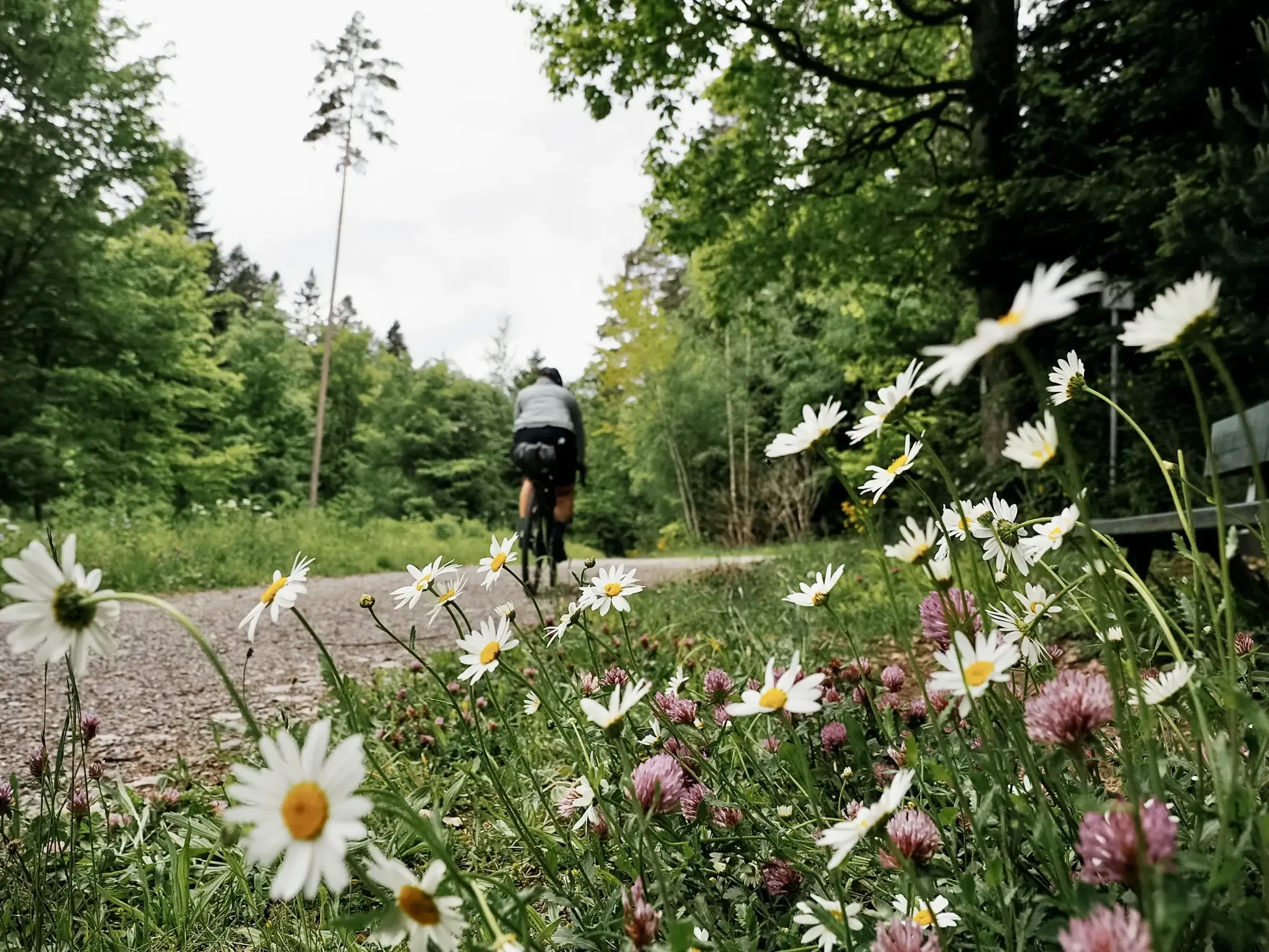
Naturparke-Gravel-Crossing: bikepacking in Baden-Württemberg
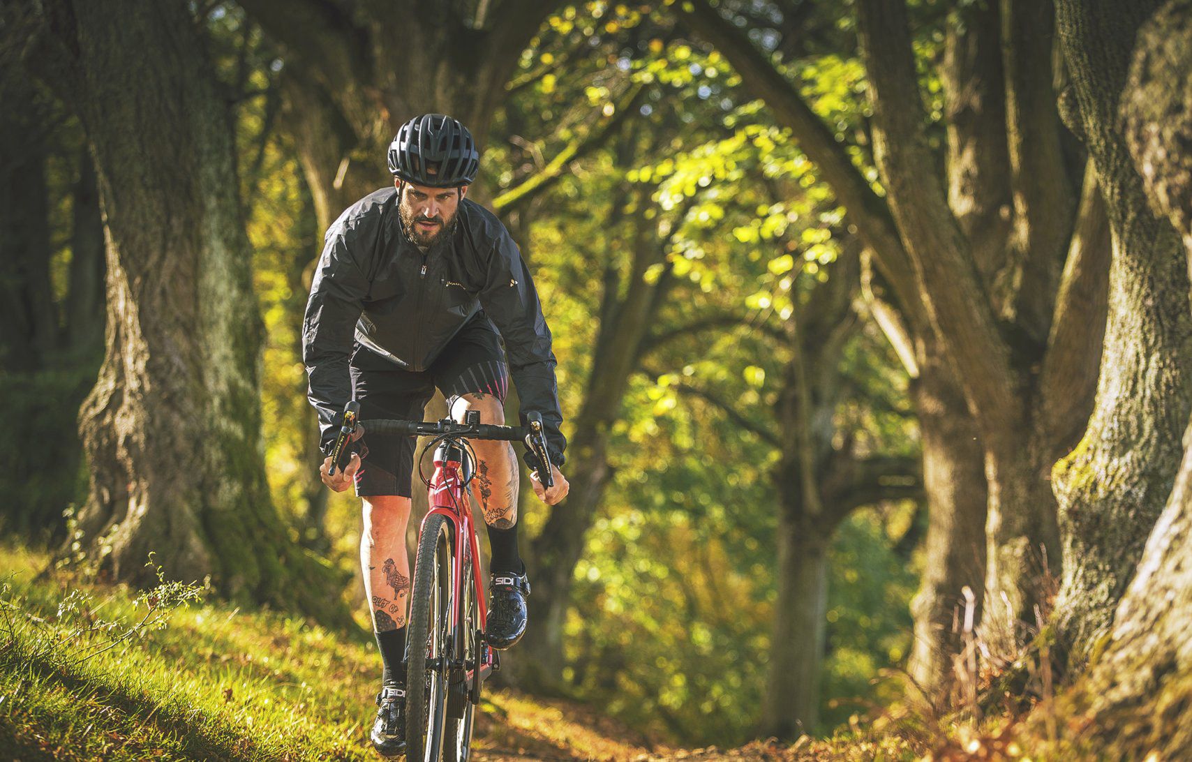
Nature Park Gravel Crossing from North to South – Baden-Württemberg
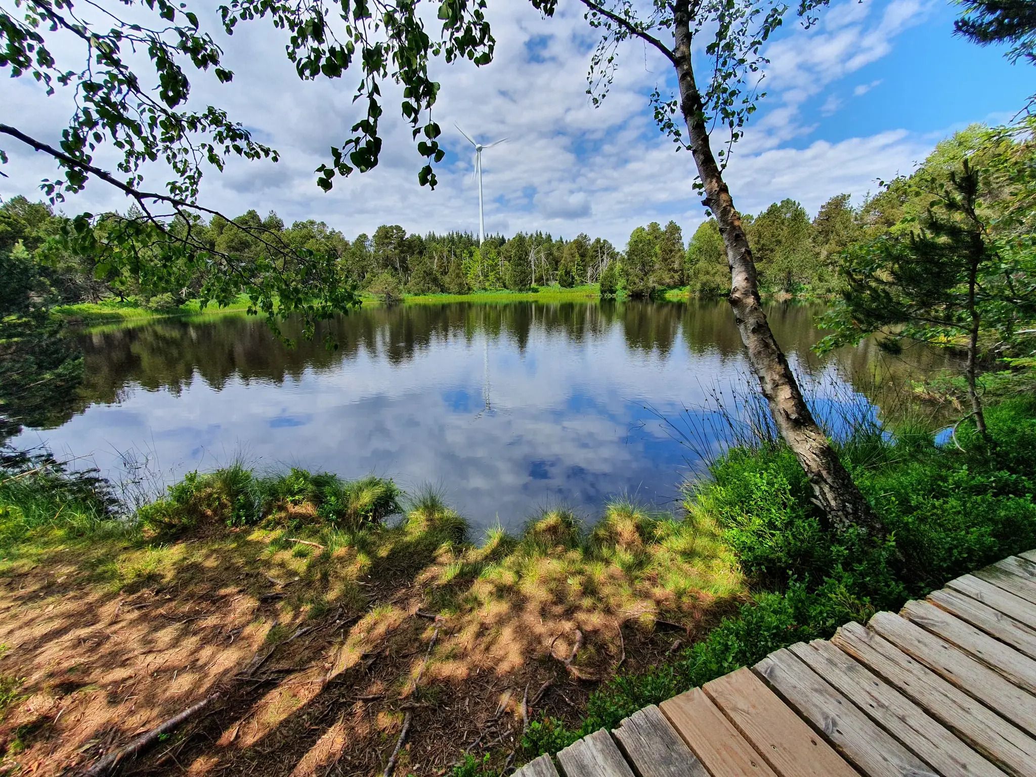
Hike the WasserWeltenSteig – Waterfalls, lakes and rivers of the Black Forest
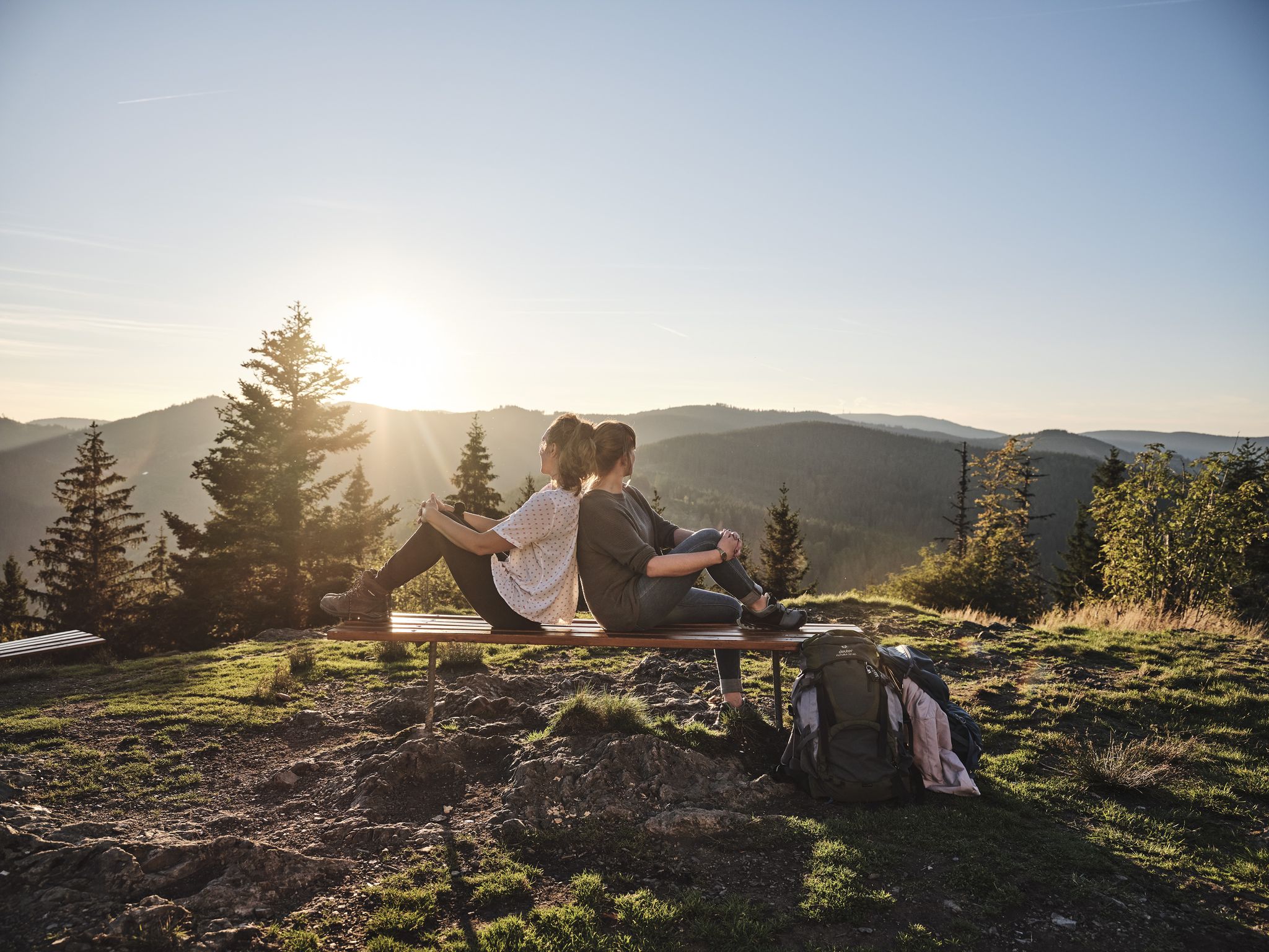
Discover premium and quality long-distance hiking in southern Germany
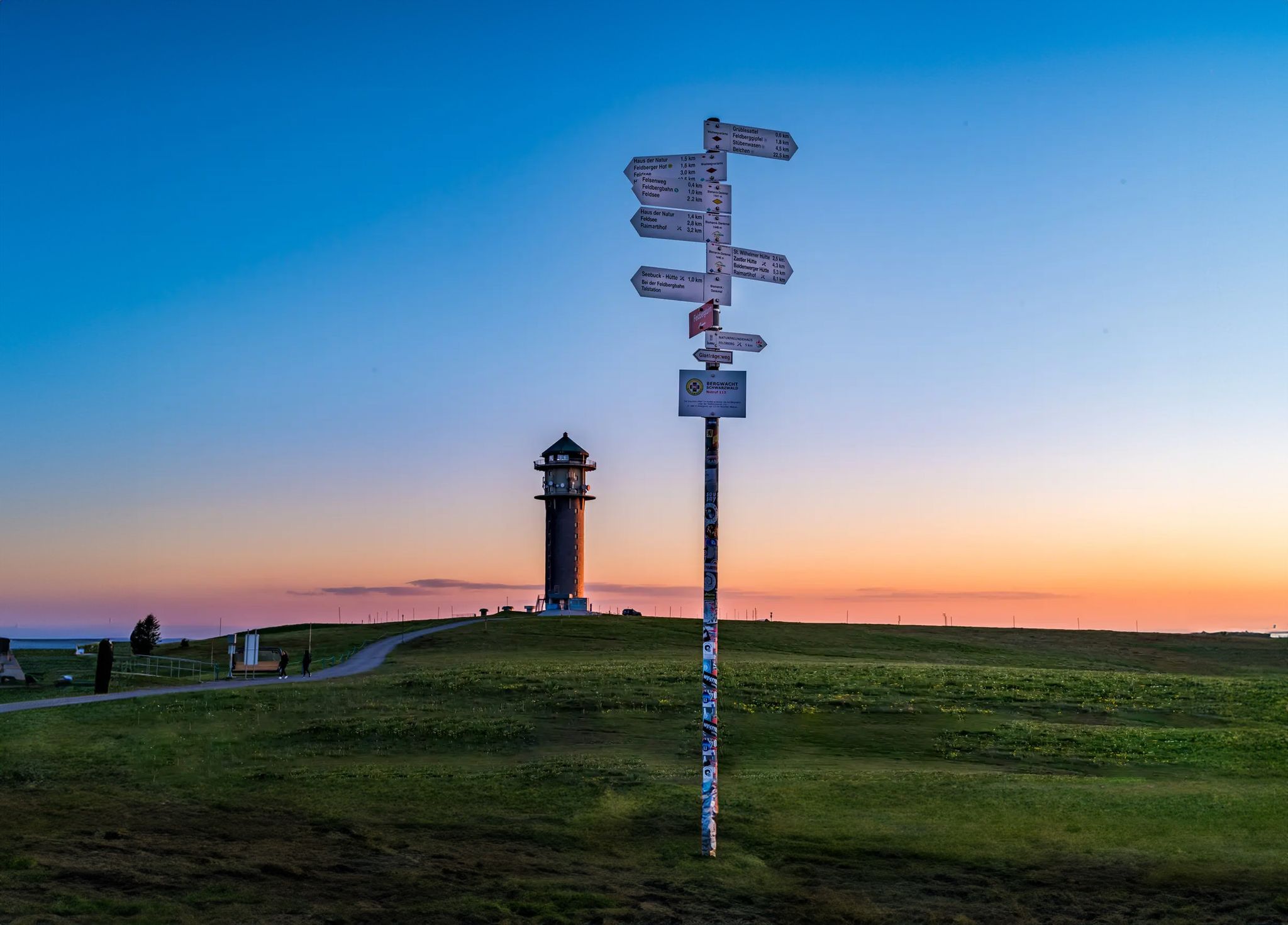
The most beautiful long-distance hiking trails in the Black Forest
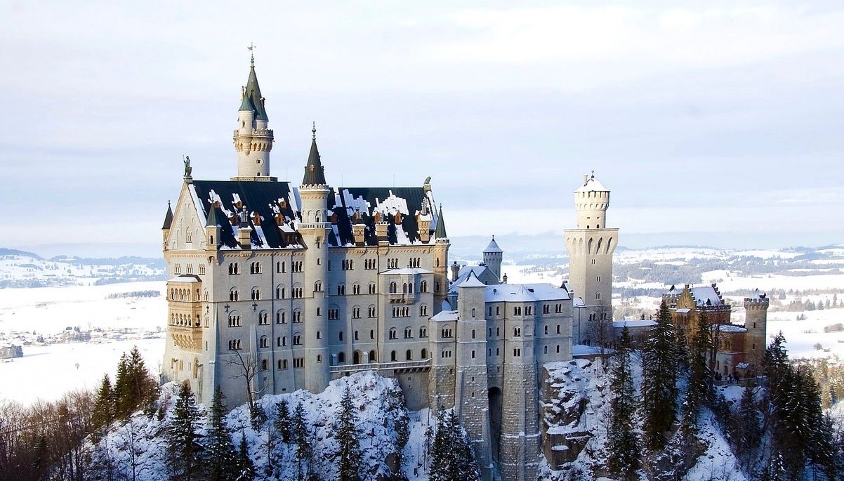
Like a fairytale – Germany during Advent
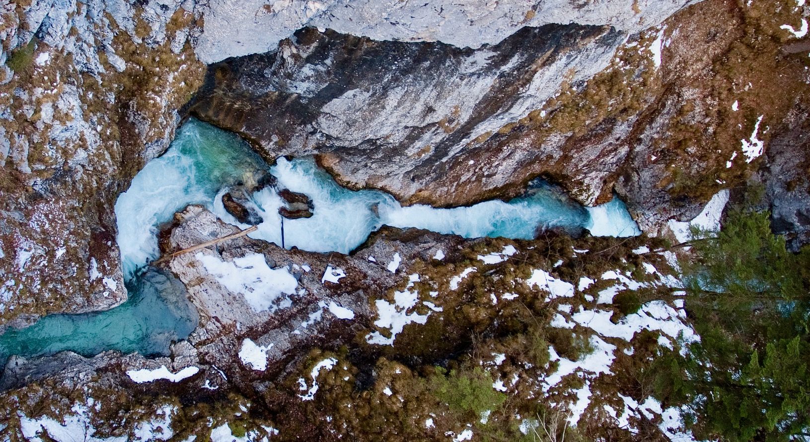
Ravines, gorges and waterfalls for winter
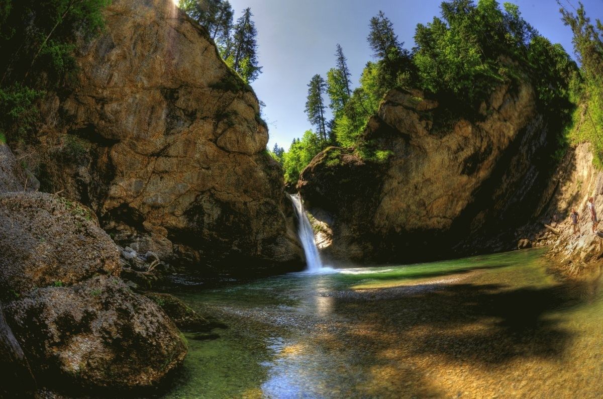
Germany's roaring waterfalls

Traffic-free bike rides around Triberg
Other adventures around Triberg


Tips from the Community

Very beautiful nature reserve, where it is still quiet in the early morning.
0
0

unfortunately only open on weekends, but a nice spot
0
0
Beautiful fountain in the forest, cooling water feels good in the heat
0
0


The European watershed at the Martinskapelle near Furtwangen in the Black Forest separates the catchment area of the North Sea (via the Rhine) from that of the Black Sea (via the Danube) at an altitude of around 1,085 meters. Course of the watershed Rhine catchment area (northwest side): Here the Elz originates, which flows via the Rhine ultimately into the North Sea. Danube catchment area (southeast side): Only about 100 meters from the watershed lies the source of the Breg. The Breg is considered the longest headstream of the Danube, whose water flows into the Black Sea. The separation: A ridge only a few meters wide decides here whether a water droplet begins its journey west to the Rhine or east to the Danube.
0
0
another highlight of the day
0
0
great tower with a place to stop for refreshments
0
0
Furtwangen's local mountain, the Brend, with a height of 1149 m above sea level, is the highest elevation in the city and, at the same time, the second-highest mountain in the Schwarzwald-Baar district. From its observation tower, built in 1905 and extended to 15 meters in 1983, one can enjoy, with good visibility, not only the view of the Rhine plain, the Black Forest and Vosges peaks, but also the Swabian Jura and the Swiss Alps.
0
0
Frequently Asked Questions
How many no-traffic touring cycling routes are available around Triberg?
There are over 20 dedicated no-traffic touring cycling routes around Triberg im Schwarzwald, offering a variety of experiences for cyclists. These routes range in difficulty from moderate to difficult, ensuring options for different skill levels.
What kind of terrain can I expect on these no-traffic touring cycling routes in Triberg?
The Triberg region, nestled in the Black Forest, offers a varied topography. You can expect a mix of gentle valley rides along rivers like the Gutach, Brigach, and Breg, as well as more challenging ascents through hilly and mountainous areas. Routes often feature wide forest paths, suitable for touring bikes, with both paved and unpaved sections.
What do other touring cyclists enjoy most about the no-traffic routes in Triberg?
The komoot community highly rates the touring cycling experience in Triberg, with an average score of 4.46 stars. Cyclists frequently praise the serene, traffic-free environment, the stunning Black Forest landscapes, and the opportunities to discover hidden natural gems and panoramic viewpoints.
Are there any circular no-traffic touring cycling routes in the Triberg area?
Yes, many of the no-traffic touring cycling routes around Triberg are designed as loops, allowing you to start and end at the same point. An example is the challenging View of the Black Forest – Linach Dam loop from Triberg, which offers extensive views and covers over 55 km.
Are there any easy, traffic-free touring cycling routes suitable for beginners around Triberg?
While many routes in the Triberg area are moderate to difficult due to the hilly Black Forest terrain, some sections along river valleys offer gentler gradients. For a moderate option that is less demanding than the most difficult routes, consider the Stöcklewald Tower – Gutach Spring loop from Kesselberg, which is shorter and has less elevation gain.
Can I visit the Triberg Waterfalls on a no-traffic touring cycling route?
While the Triberg Waterfalls themselves are primarily a hiking attraction with paths around them, their presence contributes to the natural beauty of the area. Cycling routes often pass near Triberg, allowing you to easily access this natural wonder. The Triberg Waterfalls are Germany's highest and are a must-see.
What other natural attractions can I see along these routes?
Beyond the famous waterfalls, you can discover other natural highlights. Routes might take you past the tranquil Blindensee lake and its unique Boardwalk through the Blindensee Moor, or the impressive rock formations of Günterfelsen. The lush forests and valleys are a constant natural attraction themselves.
Are there any routes that offer panoramic views?
Absolutely! The Black Forest is renowned for its panoramic vistas. Many routes lead to elevated points or towers offering breathtaking views. For example, the Stöcklewald Tower – View of the Turntalbach Valley loop from Kesselberg includes the Stöcklewald Tower, and the View from the summit of Brend – Brend Tower loop from Regierungsbezirk Freiburg takes you to the Brend Tower, both offering expansive views of the Black Forest landscape.
Are there family-friendly no-traffic touring cycling routes in Triberg?
For families, routes along the gentler valley sections or wide forest paths are generally most suitable. While specific 'easy' routes are limited due to the region's topography, many moderate routes can be enjoyed by families with some cycling experience, especially those with e-bikes. Always check the route's elevation profile and distance to ensure it matches your family's capabilities.
What is the best time of year to cycle these no-traffic routes in Triberg?
The best time to cycle in Triberg is typically from late spring through early autumn (May to October). During these months, the weather is generally mild, and the Black Forest is at its most vibrant. Summer offers lush greenery, while autumn brings spectacular fall foliage. Always check local weather forecasts before heading out.
Where can I park my car when starting a no-traffic touring cycling route in Triberg?
Triberg and its surrounding towns offer various parking options, often near trailheads or in town centers. Look for designated parking areas in Triberg itself or in nearby villages like Vöhrenbach or Villingen, depending on your chosen starting point. Many routes are designed to be accessible from these locations.
Is it possible to bring my dog on these no-traffic touring cycling routes?
Generally, dogs are welcome on most outdoor trails in the Black Forest, including cycling routes, provided they are kept on a leash and you clean up after them. However, it's always a good idea to check specific local regulations or signs along the route, especially in nature reserve areas. Ensure your dog is fit enough for the distance and elevation of your chosen route.
Most popular routes around Triberg
Most popular attractions around Triberg

Get inspired with the komoot mobile app


Explore more
Browse the best Cycling routes in other regions.
