The best traffic-free bike rides around Todtnauberg
4.5
(66)
518
riders
29
rides
Gravel biking around Todtnauberg offers diverse terrain within the Southern Black Forest, characterized by a serene high valley setting. The region features rolling hills, dense forests, and significant elevation changes, providing an extensive network of gravel roads. These routes often combine gravel paths, asphalt sections, and natural tracks, ensuring a varied riding experience. The landscape is ideal for those seeking no traffic gravel bike trails with natural beauty and varied challenges.
Best no traffic gravel bike trails around Todtnauberg
- The…
Last updated: October 27, 2026
4.3
(3)
19
riders
81.9km
07:22
1,990m
1,990m
Hard gravel ride. Very good fitness required. You may need to push your bike for some segments of this route.
4.3
(3)
34
riders
49.5km
03:57
1,440m
1,440m
Hard gravel ride. Very good fitness required. You may need to push your bike for some segments of this route.

5.0
(5)
36
riders
32.1km
02:28
920m
920m
Hard gravel ride. Very good fitness required. You may need to push your bike for some segments of this route.
14
riders
17.5km
01:18
460m
460m
Hard gravel ride. Very good fitness required. You may need to push your bike for some segments of this route.
2.5
(2)
14
riders
Moderate gravel ride. Good fitness required. Mostly paved surfaces.
Get access to more routes and recommendations from other explorers.
Already have an account?
Our route recommendations are based on thousands of hikes, rides, and runs completed by other people on komoot.
Start today with a free account
Your next adventure awaits.
Popular around Todtnauberg
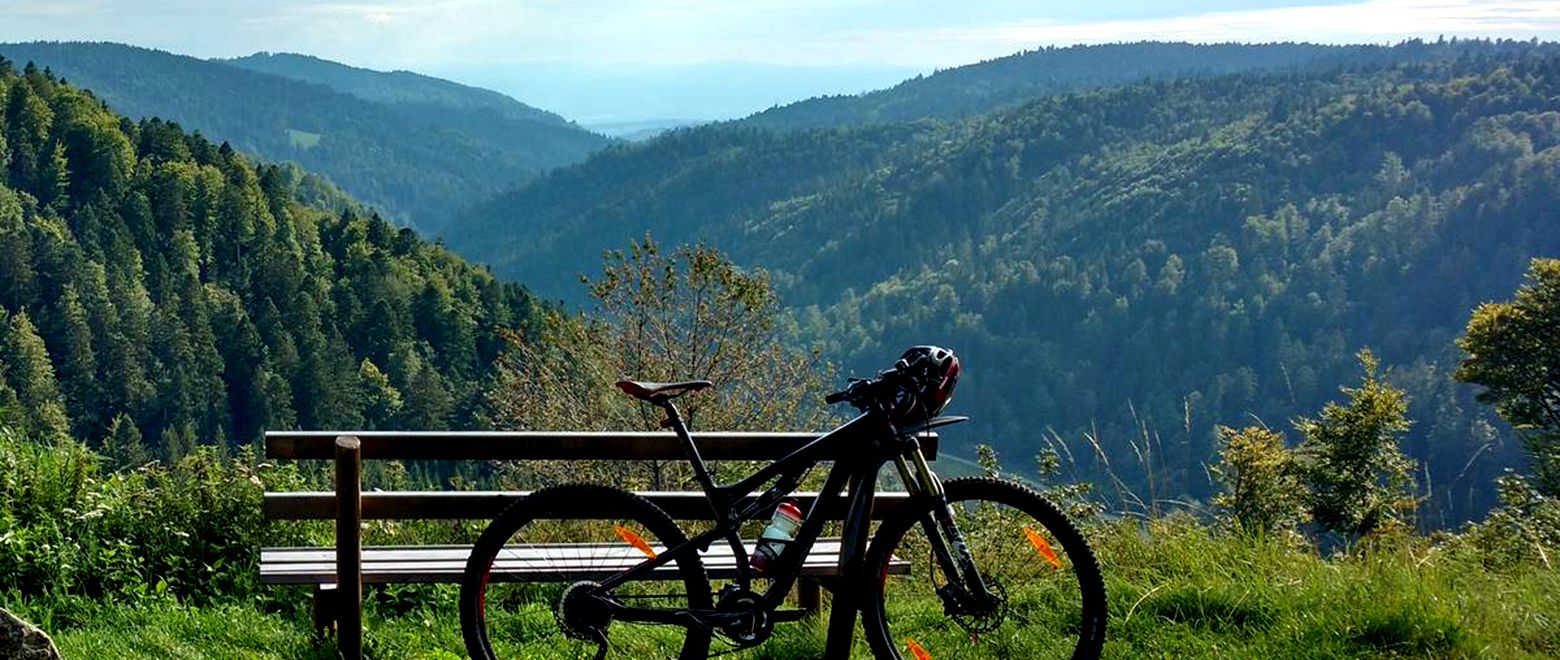
The Black Forest Crossing – From north to south in eight days
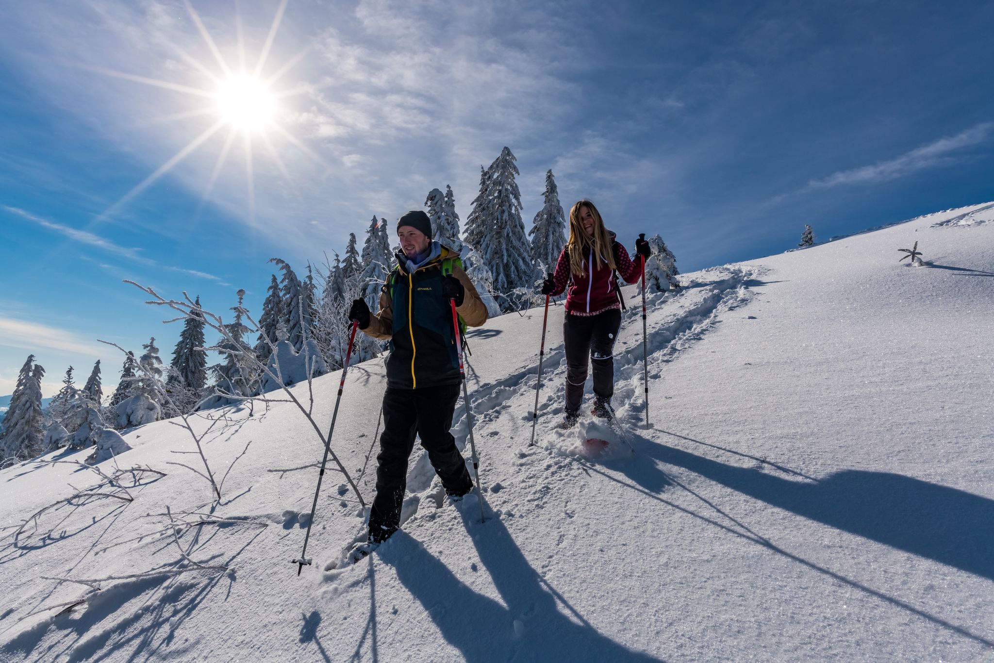
The Forest in its white dress – snowshoe Tours in the Black Forest
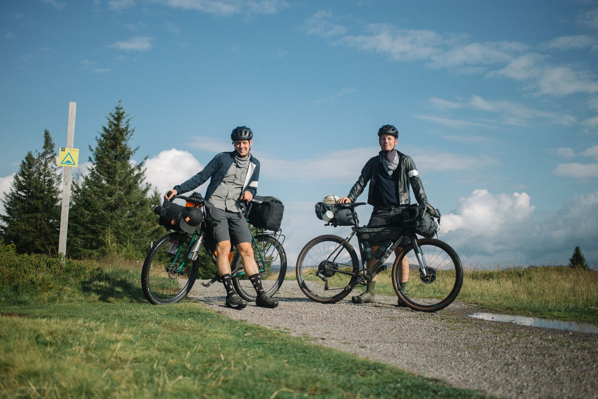
Bikepacking the Black Forest and Alsace
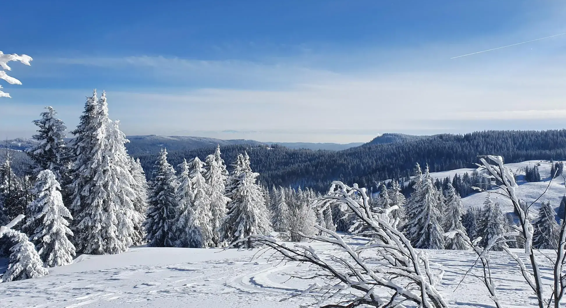
Winterruhe im Südschwarzwald – Wege für klare Gedanken und achtsame Momente

Traffic-free bike rides around Todtnauberg

Traffic-free bike rides around Todtnauberg
Other adventures around Todtnauberg


Tips from the Community

The Raimartihofweg is a popular hiking and winter hiking trail in the High Black Forest, which leads to the traditional Raimartihof - Gasthaus zum Feldsee.
3
0
Postcard view
3
0
Fantastic panorama
3
0

The rustic hut is surrounded by alpine meadows and offers you a fantastic view of the Wiesental valley, all the way to the Bernese Alps. If needed, you can also stay overnight here: there are five rooms with a total of eleven beds. As the name suggests, delicious Knöpfle with sauce are served here. If the alpine inn is closed, you will find a refrigerator with drinks and a trust-based cash box. All information can be found here: https://knoepflesbrunnen.de/Willkommen-Oeffnungszeiten-Webcam.
1
0

The Kaiserbucht is a beautiful, somewhat quieter spot directly on the Schluchsee. The clear water and wooded shores provide a real Black Forest feeling – perfect for a break on your MTB tour and, on warm days, also for a cool-down.
0
0

On the sandier beach, there are also fewer large stones in the water!
0
0

Highly recommended ascent to the Hof and to the Feldsee - green, lonely, not too steep.
0
0
Frequently Asked Questions
How many traffic-free gravel bike trails can I find around Todtnauberg?
Todtnauberg offers a substantial network for gravel biking, with over 30 traffic-free routes available. These trails cater to various skill levels, ensuring a diverse and engaging riding experience through the Southern Black Forest.
What kind of terrain and elevation can I expect on Todtnauberg's gravel trails?
The terrain around Todtnauberg is characterized by rolling hills, dense forests, and significant elevation changes, typical of the Black Forest. You'll encounter a mix of gravel paths, asphalt sections, and natural tracks. For example, the challenging Königsetappe Gravel route covers over 81 km with nearly 2000 meters of elevation gain, while the Feldsee – Feldberg Summit loop from Todtnauberg offers over 900 meters of ascent.
Are there any easy, traffic-free gravel routes suitable for beginners in Todtnauberg?
While many routes in Todtnauberg feature moderate to difficult grades due to the mountainous terrain, there are options that can be enjoyed by those with less experience or looking for a more relaxed ride. Look for routes with lower elevation gains and shorter distances. It's always recommended to check the route details on komoot for specific difficulty ratings and elevation profiles.
What natural landmarks or viewpoints can I discover along the gravel bike trails?
Todtnauberg is rich in natural beauty. You can ride past the impressive Todtnau Waterfall, one of Germany's highest. Many routes offer panoramic views, especially from higher elevations like those found on the Feldsee – Feldberg Summit loop from Todtnauberg, where on clear days, you can see all the way to the Alps. Other highlights include the Ravenna Gorge and various mountain huts like St. Wilhelmer Hut.
Are there any circular gravel routes around Todtnauberg?
Yes, many of the gravel bike trails around Todtnauberg are designed as loops, allowing you to start and finish at the same point. Examples include the Feldsee – Feldberg Summit loop from Todtnauberg and the Almgasthaus Knöpflesbrunnen – View of the Rhine Plain loop from Langenbach-Trubelsbach. These circular routes are ideal for exploring the diverse landscapes without needing to retrace your steps.
What is the best time of year for gravel biking in Todtnauberg?
The Black Forest region, including Todtnauberg, is generally best for gravel biking from spring through autumn. During these seasons, the weather is milder, and the trails are typically clear of snow and ice. The vibrant colors of spring and autumn foliage make for particularly scenic rides. While winter biking is possible, be prepared for colder temperatures and potential snow or ice on higher elevation trails.
What do other gravel bikers enjoy most about the trails in Todtnauberg?
The komoot community highly rates the gravel biking experience in Todtnauberg, with an average score of 4.4 stars. Reviewers often praise the tranquility of the high valley setting, the extensive network of traffic-free paths, and the stunning panoramic views, especially from the Feldberg area. The varied terrain and natural beauty are frequently highlighted as key attractions.
Are there options for family-friendly gravel biking in Todtnauberg?
While many routes in Todtnauberg involve significant elevation, families can find suitable sections or shorter, less demanding trails. Look for paths that stick to the valley floors or have gentler gradients. The focus on traffic-free routes makes it safer for families, but always check the specific route details for distance, elevation, and terrain to ensure it matches your family's abilities.
Where can I find places to eat or stay near the gravel trails in Todtnauberg?
Todtnauberg, as a climatic health resort, offers various accommodation options and eateries. Along many routes, you'll find traditional mountain huts and guesthouses, such as St. Wilhelmer Hut or Krunkelbachhütte Mountain Lodge, where you can stop for refreshments. The village itself provides further choices for dining and lodging after your ride.
Can I access Todtnauberg's gravel trails using public transport?
Todtnauberg is integrated into the regional public transport network, making it accessible without a car. Buses connect Todtnauberg to larger towns and train stations in the Black Forest. It's advisable to check local bus schedules and policies regarding bicycle transport in advance, especially during peak seasons.
Are there any routes that offer views of the Rhine Plain?
Yes, some routes provide expansive views that stretch beyond the immediate Black Forest landscape. For instance, the Almgasthaus Knöpflesbrunnen – View of the Rhine Plain loop from Langenbach-Trubelsbach offers glimpses of the Rhine Plain, adding another dimension to the scenic beauty of your ride.
Most popular routes around Todtnauberg
Most popular attractions around Todtnauberg

Get inspired with the komoot mobile app


Explore more
Browse the best Gravel rides in other regions.
