The best hikes from bus stations around Rüthen
4.6
(2668)
10,117
hikers
154
hikes
Bus station hiking trails around Rüthen offer access to the diverse landscapes of the Arnsberg Forest Nature Park. The region is characterized by wooded areas, clear streams, and varied terrain, including the Haarstrang and Möhne valley. Wehberg, the highest point in Rüthen at 528.9 meters, provides elevated perspectives of the surrounding countryside. The area features a network of trails suitable for exploring nature and historical sites.
Best bus station hiking trails around Rüthen
- The most popular bus station hiking route…
Last updated: May 14, 2026
5.0
(3)
12
hikers
16.8km
04:41
290m
360m
Moderate hike. Good fitness required. Easily-accessible paths. Suitable for all skill levels.
4.8
(262)
802
hikers
9.37km
02:43
240m
230m
Moderate hike. Good fitness required. Easily-accessible paths. Suitable for all skill levels.

Sign up for free
4.8
(42)
143
hikers
Moderate hike. Good fitness required. Easily-accessible paths. Suitable for all skill levels.
4.9
(50)
131
hikers
Moderate hike. Good fitness required. Easily-accessible paths. Suitable for all skill levels.
4.6
(47)
164
hikers
15.0km
04:07
240m
240m
Moderate hike. Good fitness required. Easily-accessible paths. Suitable for all skill levels.
Get access to more routes and recommendations from other explorers.
Sign up for free
Already have an account?
Our route recommendations are based on thousands of hikes, rides, and runs completed by other people on komoot.
Start today with a free account
Your next adventure awaits.
Login or Signup
Popular around Rüthen
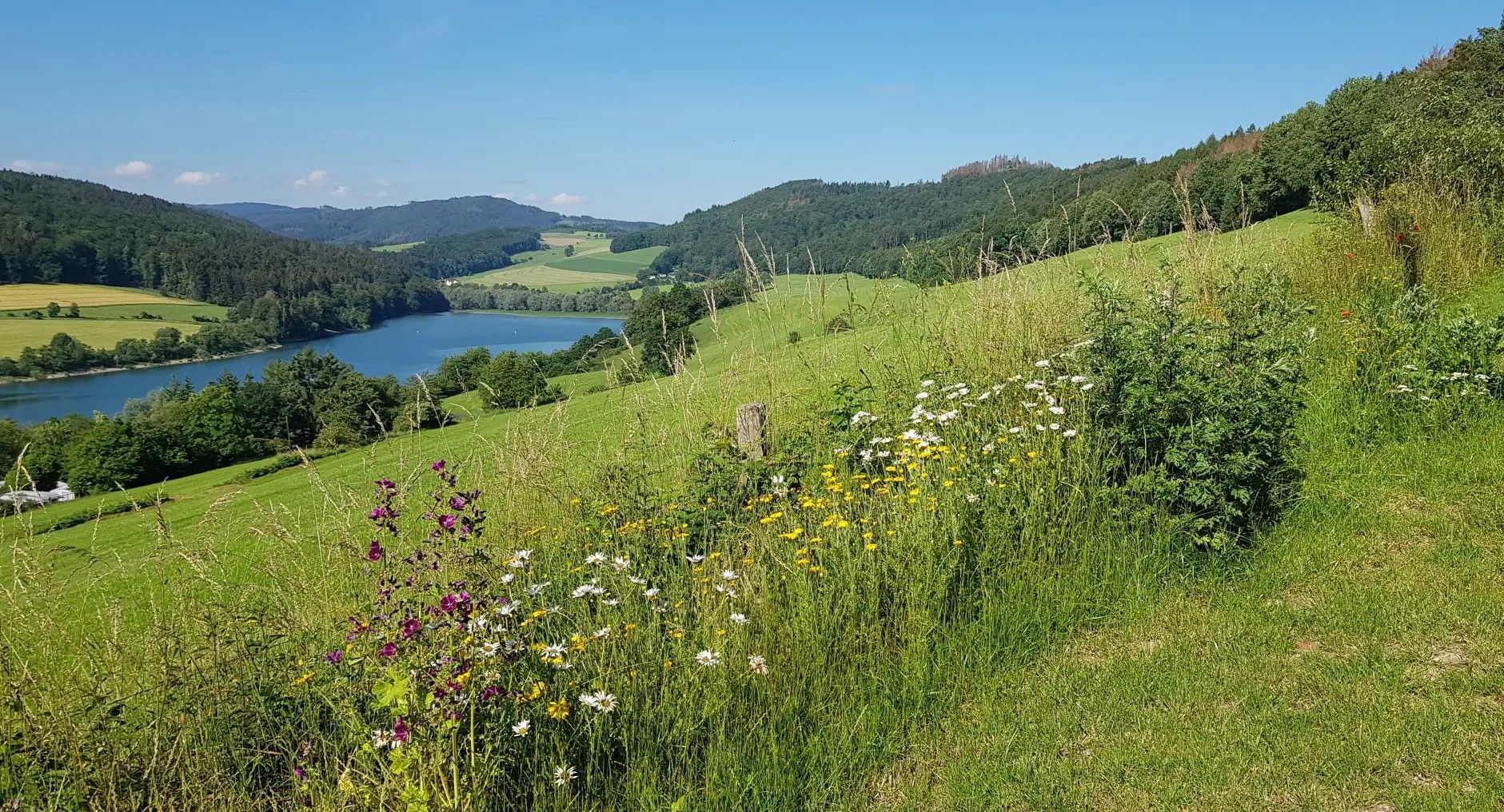
Germany's Sauerland Forest Route – Views and discoveries
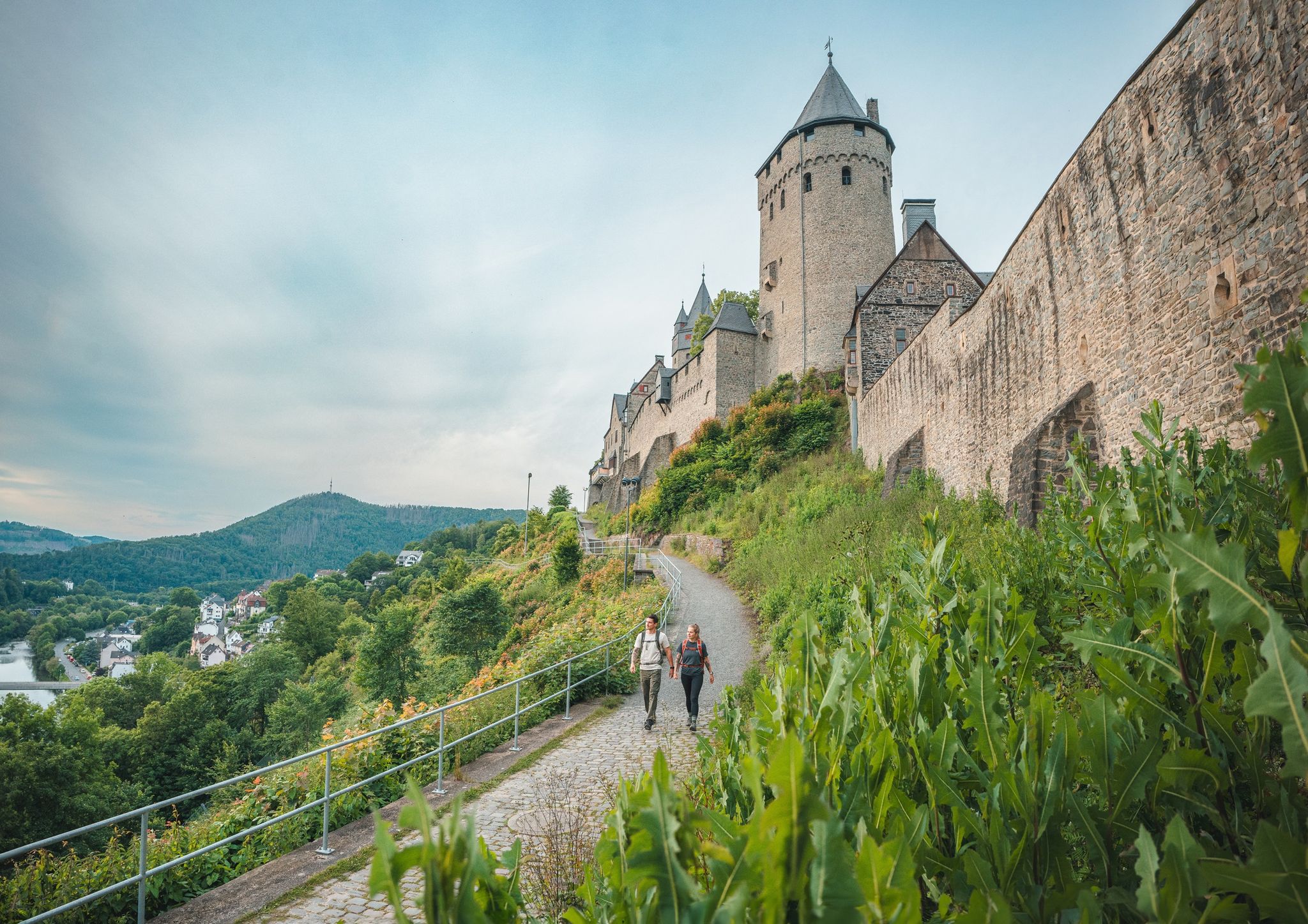
One Way Wanderlust: hiking in the Sauerland by public transport
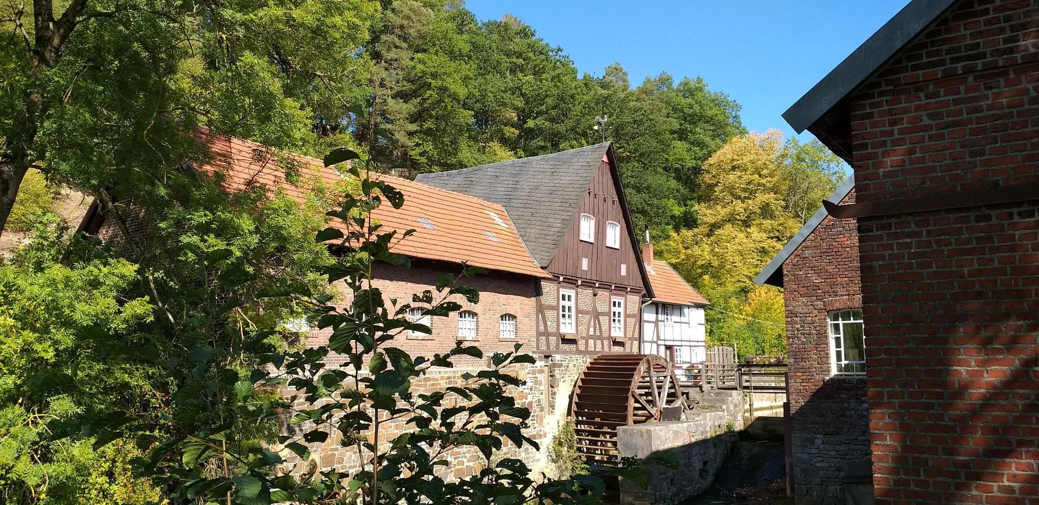
Hike through history in Germany’s Ruhr area – WestfalenWanderWeg
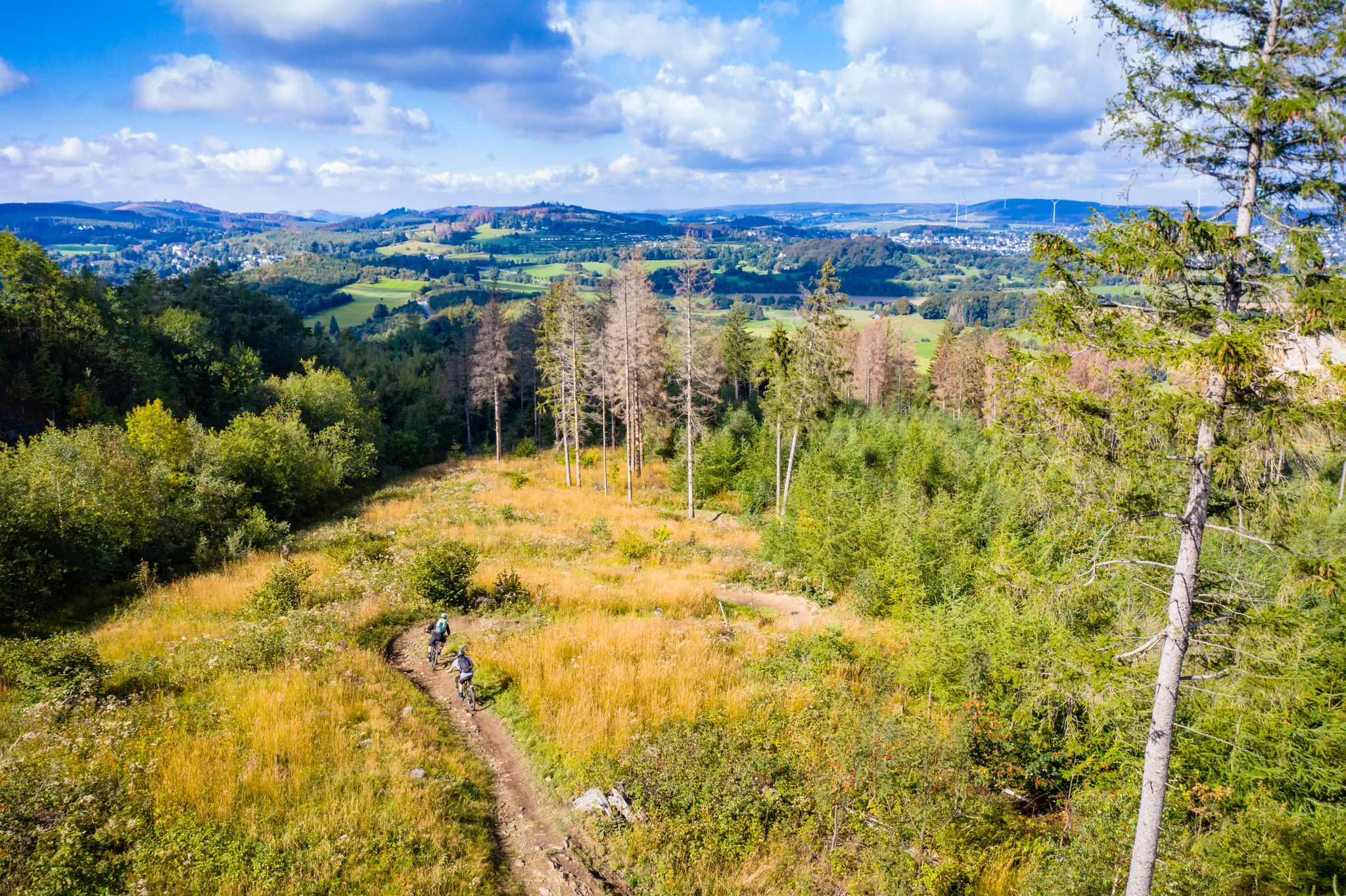
Sauerland (D): Sour makes you want!
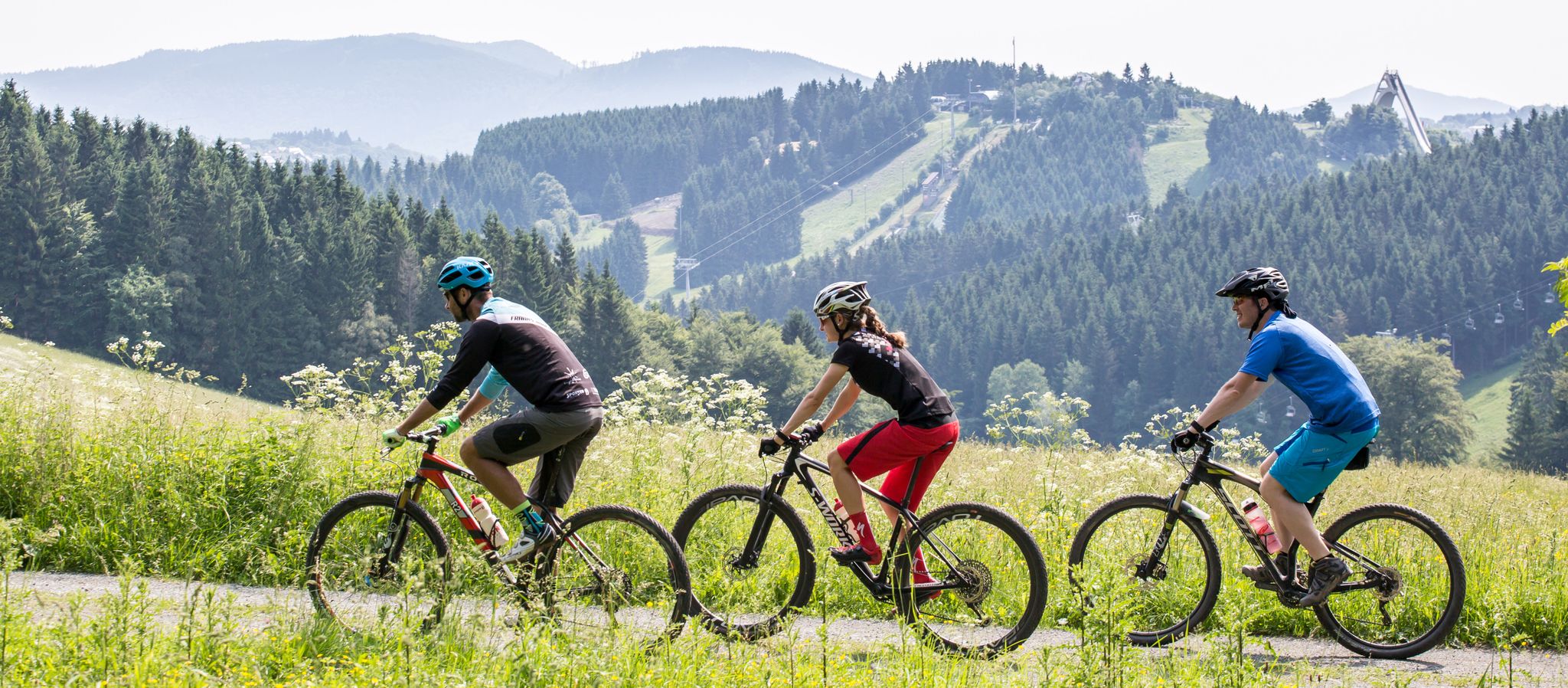
Bike Arena Sauerland – mountain biking in the land of 1000 mountains
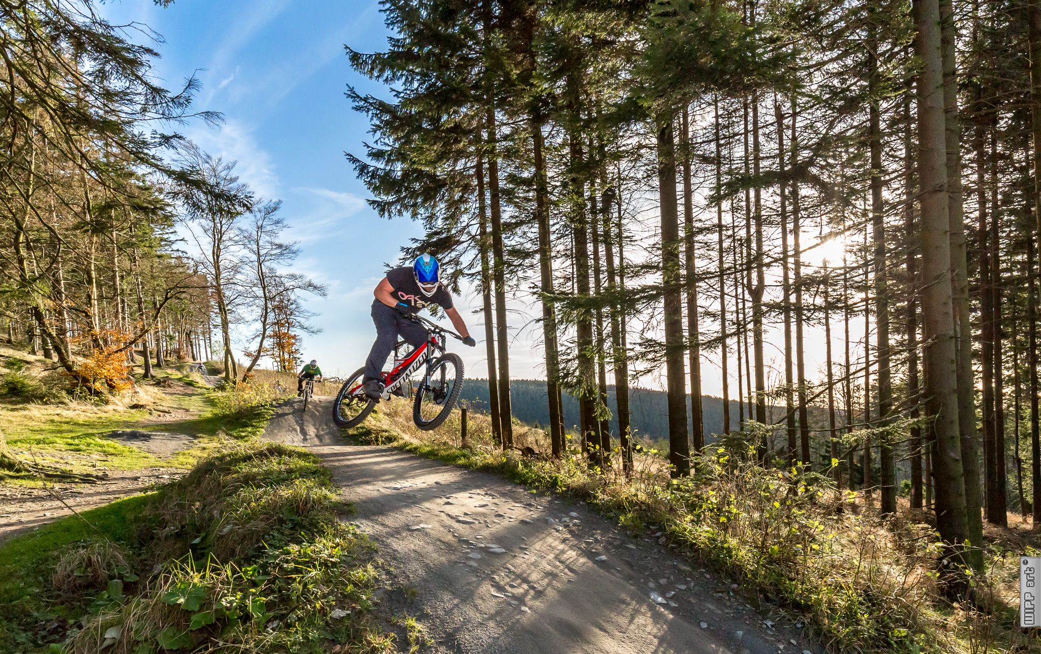
Bike parks in Western Germany
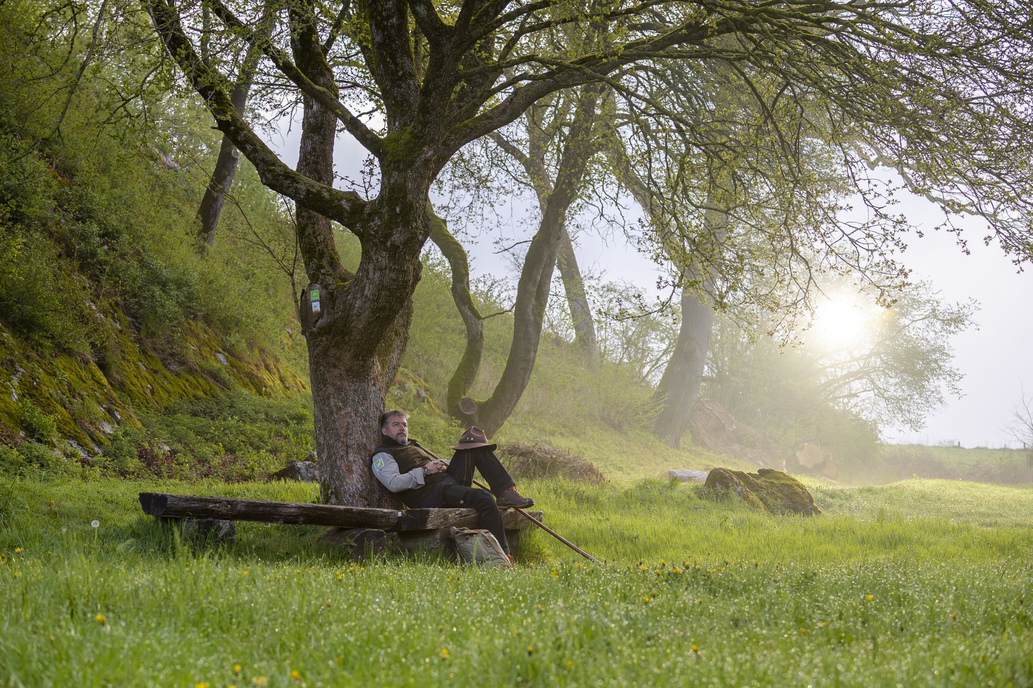
Zauberhaft mystisch - Die Sauerland-Waldroute
Other adventures around Rüthen


Tips from the Community

This is not Warstein, but Kallenhardt.
2
0

Even with Joy at the charcoal burner's hut
0
0

a beautiful view of Kallenhardt before you have to climb the mountain
0
0

wide views
0
0

Great tree trail where everything important is explained briefly and is worth seeing.
0
0

Frequently Asked Questions
How many bus-accessible hiking trails are there around Rüthen?
Rüthen offers a wide selection of bus-accessible hiking trails, with over 150 routes available. These trails cater to various preferences, including easy strolls and more challenging excursions.
What kind of terrain can I expect on bus-accessible hikes near Rüthen?
The region around Rüthen, nestled between the Haarstrang and the Möhne valley, provides a diverse landscape. You can expect varied terrain including extensive wooded areas within the Arnsberg Forest Nature Park, clear streams, and scenic viewpoints. Trails often feature moderate elevation changes, offering a good mix of ascents and descents.
Are there easy hiking options accessible by bus in Rüthen?
Yes, Rüthen has numerous easy hiking options that are accessible by bus. Approximately half of the available routes are classified as easy, making them suitable for casual walkers or those looking for a less strenuous experience. These often include paths through valleys or around historical sites.
Are there circular hiking routes starting from bus stations in Rüthen?
Absolutely. Many bus-accessible trails in Rüthen are designed as circular routes, allowing you to start and end your hike at the same point. For example, you could explore the Körtlinghausen Castle – View of Kallenhardt loop from Kallenhardt, which offers historical sights and scenic views, or the Eulenspiegel Parking Area – Klotzbeute Lookout Tower loop from Eulenspiegel for panoramic vistas.
What is the best time of year for bus-accessible hiking in Rüthen?
The best seasons for hiking in Rüthen are generally spring and autumn. During these times, the temperatures are mild, and the natural scenery is particularly vibrant, whether it's the fresh greenery of spring or the rich colors of autumn foliage. Summer can also be pleasant, especially in the shaded forest areas.
Are there family-friendly hiking trails accessible by bus in Rüthen?
Yes, Rüthen offers several family-friendly trails accessible by bus. The region is known for routes like the Märchenwaldweg (Fairytale Forest Trail) in Rüthen-Heddinghausen, which is ideal for children. Another great option is the Bibertal Playground – Beaver Pond in the Biebertal loop from Wünnenbecke, a circular walk designed for all ages with stations to learn about beavers.
Can I bring my dog on bus-accessible hikes in Rüthen?
Most hiking trails in Rüthen are dog-friendly, allowing you to enjoy the natural beauty with your canine companion. It's always recommended to keep dogs on a leash, especially in nature reserve areas or near wildlife, and to check local regulations for specific routes or public transport rules regarding pets.
What natural features or landmarks can I see along bus-accessible routes?
Rüthen's bus-accessible routes lead to many interesting natural features and historical landmarks. You can discover the picturesque Bibertal, explore the mysterious Hollow Stone cave, or enjoy panoramic views from the Olsberg Summit (704 m). Historical sites like Körtlinghausen Castle are also often integrated into hiking paths.
Are there any long-distance trails accessible by bus from Rüthen?
Yes, the prominent Sauerland Waldroute is accessible by bus and train, offering longer, more challenging hikes with significant elevation gains. One segment, for example, is the Sauerland Waldroute by bus and train – Bestwig (NWL) to Brilon, which covers over 16 kilometers.
What do other hikers enjoy most about bus-accessible hiking in Rüthen?
The komoot community highly rates the hiking experiences around Rüthen, with an average score of 4.56 stars. Hikers frequently praise the region's diverse landscapes, the well-marked trails, and the accessibility of many routes via public transport. The blend of natural beauty, such as the Arnsberg Forest, and historical sites like Körtlinghausen Castle, is often highlighted as a major draw.
Are there routes that offer viewpoints or scenic vistas?
Many trails in the Rüthen area provide excellent viewpoints. The region's highest point, Wehberg (528.9 meters), offers elevated perspectives. Additionally, the Lörmecke Tower and the Klotzbeute Lookout Tower are popular destinations for expansive views over the landscape, particularly around Kallenhardt.
Are there any trails that focus on local history or culture?
Yes, Rüthen offers trails that delve into its rich history. The Medieval Town Wall Tour is a unique 3-kilometer circular route around Rüthen's historic town center, showcasing preserved sections of 14th-century fortifications, including the Hexenturm (Witches' Tower) and the Hachtor (an old town gate). These routes provide insights into the town's past while enjoying a walk.
Most popular routes around Rüthen
Most popular attractions around Rüthen

Get inspired with the komoot mobile app


Explore more
Browse the best Hikes in other regions.
