The best city hikes and walks around Rheine
4.6
(2023)
9,446
hikers
59
hikes
Urban hiking trails around Rheine are characterized by a blend of riverine landscapes, historical sites, and green spaces within the city. The Ems River is a central feature, with many paths winding along its banks, offering views of the water and access to cultural landmarks. The region also includes parks like Salinenpark and Bentlage Forest, providing tranquil walking environments. These urban routes connect city centers with natural elements, making them suitable for accessible exploration.
Best urban hiking trails around Rheine
…Last updated: June 27, 2026
5.0
(4)
61
hikers
Easy hike. Great for any fitness level. Easily-accessible paths. Suitable for all skill levels.
4.3
(23)
29
hikers
11.1km
02:51
50m
50m
Moderate hike. Good fitness required. Easily-accessible paths. Suitable for all skill levels.

Sign up for free
32
hikers
Easy hike. Great for any fitness level. Easily-accessible paths. Suitable for all skill levels.
4.0
(1)
29
hikers
2.29km
00:36
10m
10m
Easy hike. Great for any fitness level. Easily-accessible paths. Suitable for all skill levels.
4.0
(2)
24
hikers
4.65km
01:12
20m
20m
Easy hike. Great for any fitness level. Easily-accessible paths. Suitable for all skill levels.
Get access to more routes and recommendations from other explorers.
Sign up for free
Already have an account?
Our route recommendations are based on thousands of hikes, rides, and runs completed by other people on komoot.
Start today with a free account
Your next adventure awaits.
Login or Signup
Popular around Rheine
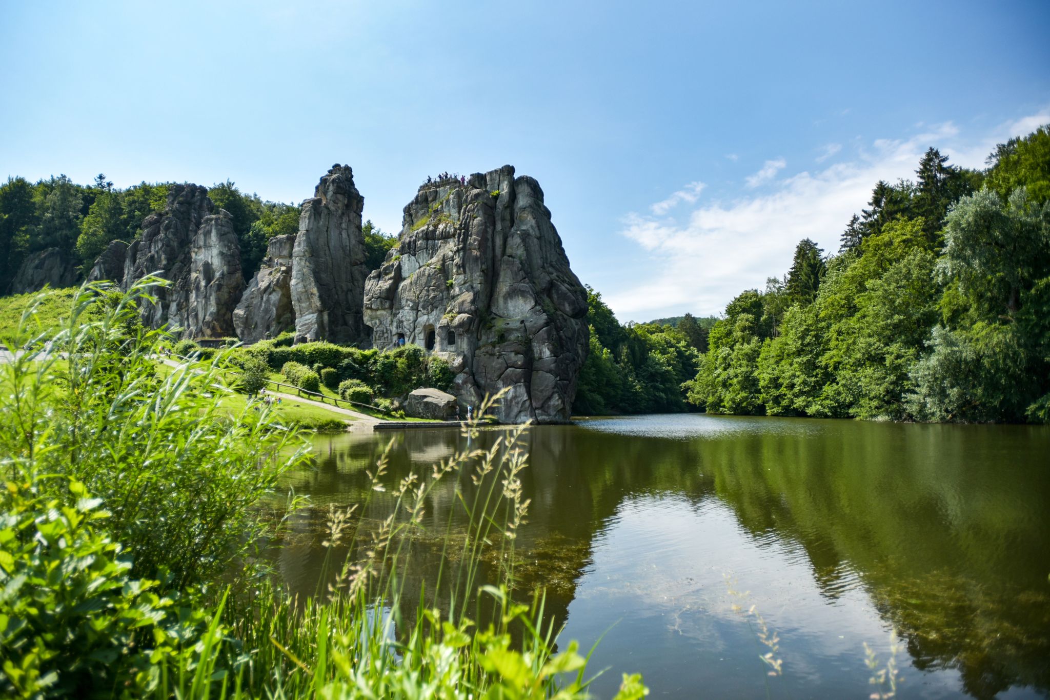
Hiking Germany's Hermannsweg – In the footsteps of the Cheruscan
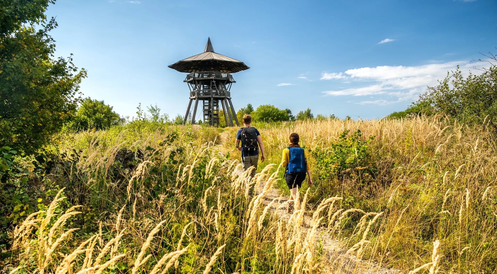
Culture and nature from Rheine to Marsburg – Hermann Heights Trail
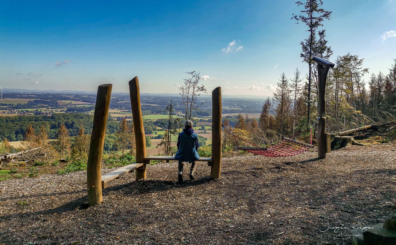
Close to the Hermann Heights Trail – 18 circulars in the Teutoburg Forest
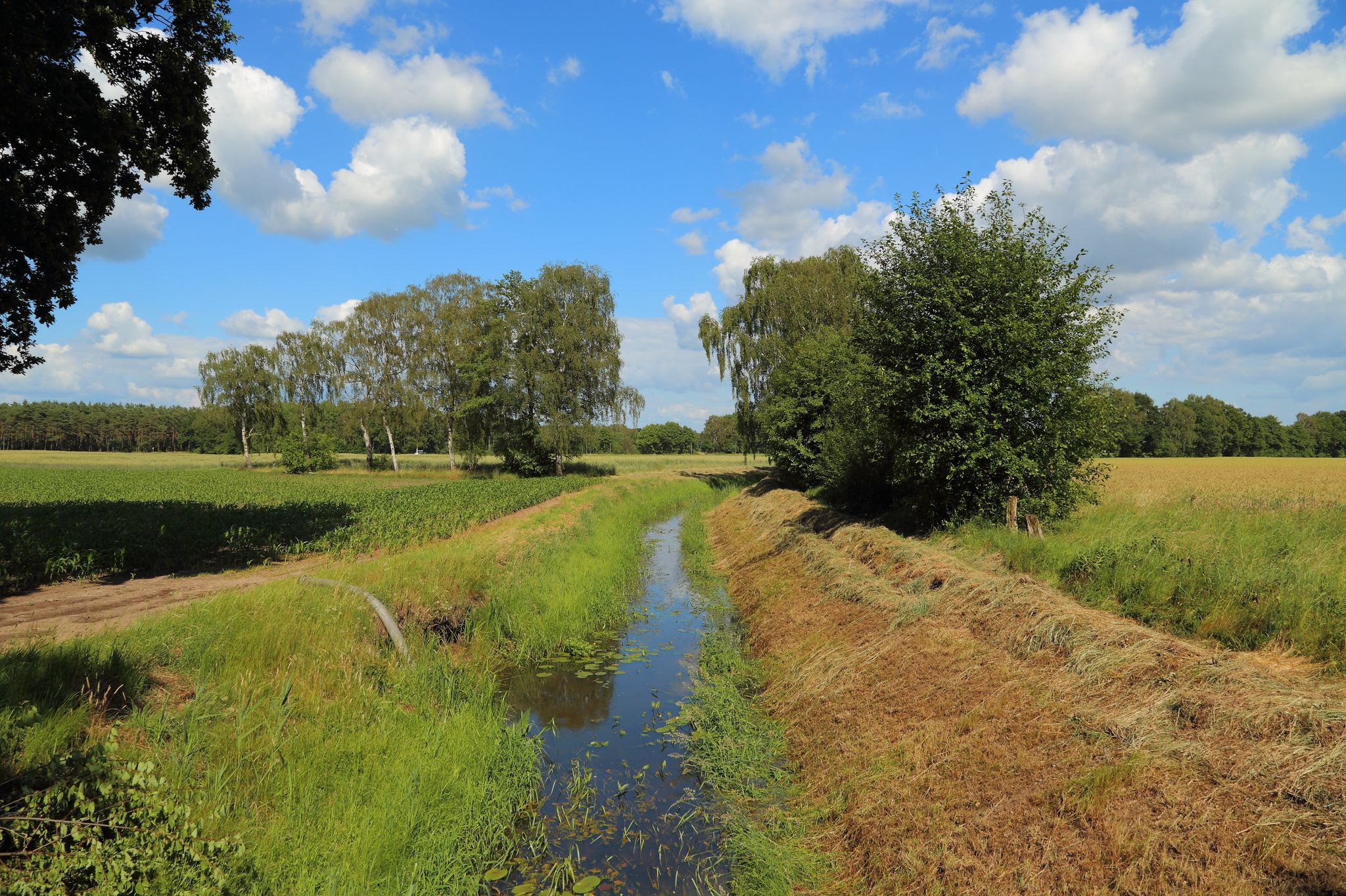
Hiking old paths from Osnabrück to the Dutch border – Töddenweg
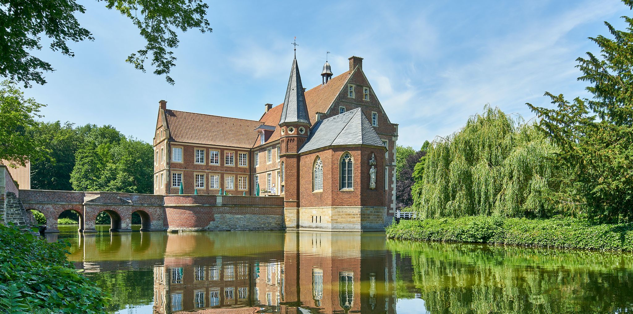
100 Castles Route – Discover the historical treasures of Münsterland by bike
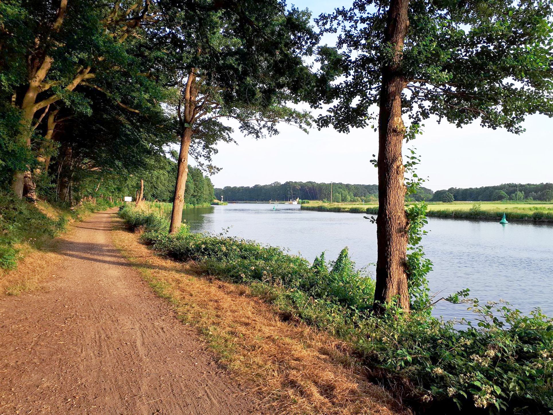
Hase Ems route — cycling through Hasetal and Emsland in 7 stages
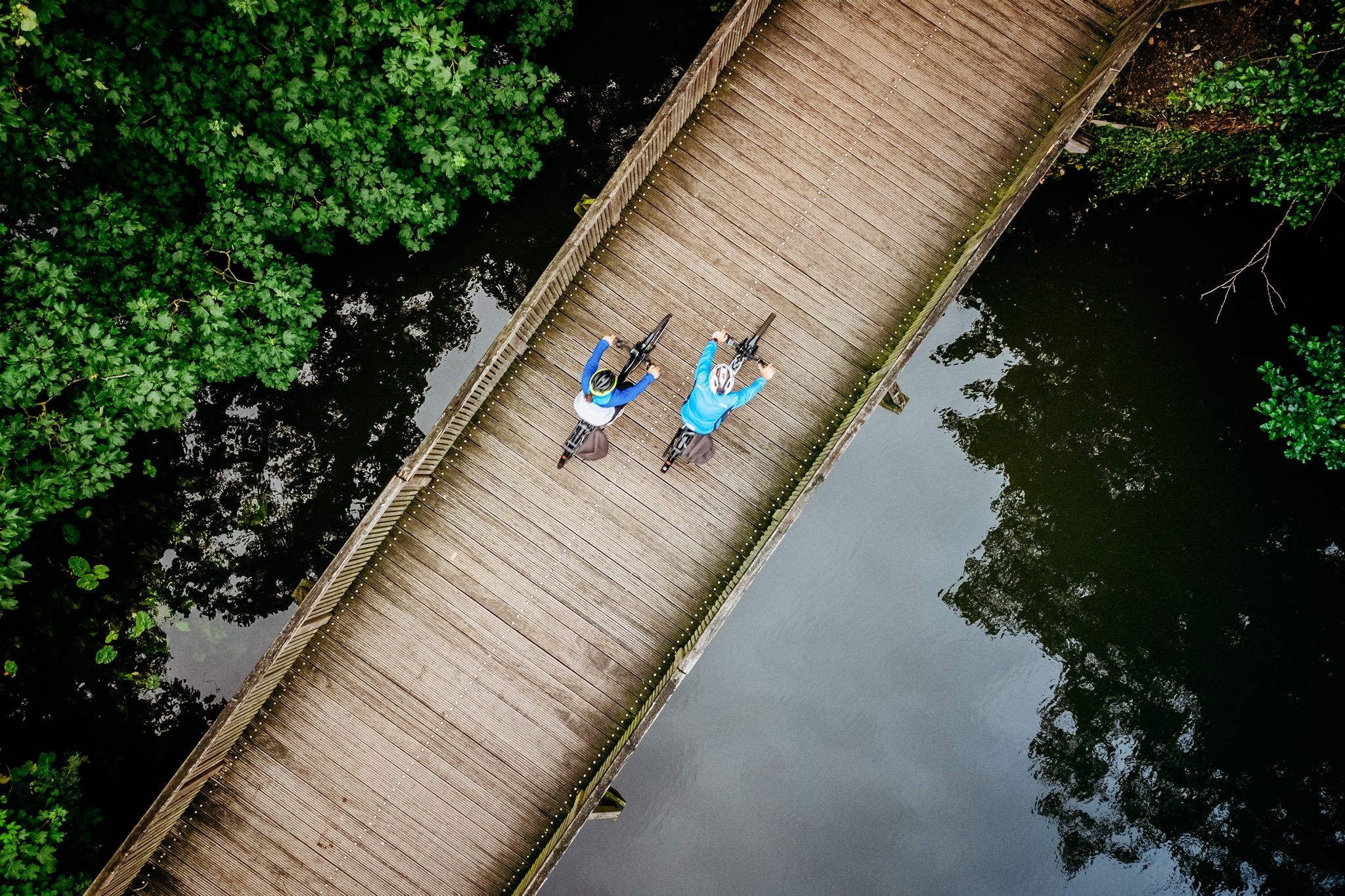
Following Germany’s Hase and Ems rivers – Hase-Ems-Tour
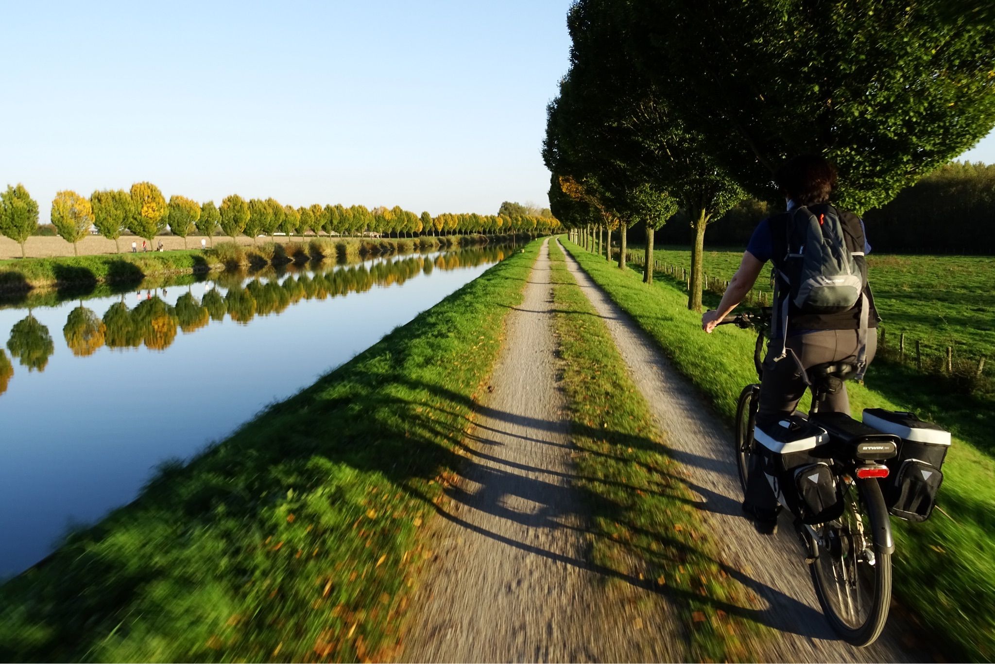
On to the mud flats – the Dortmund-Ems Canal Cycle Route
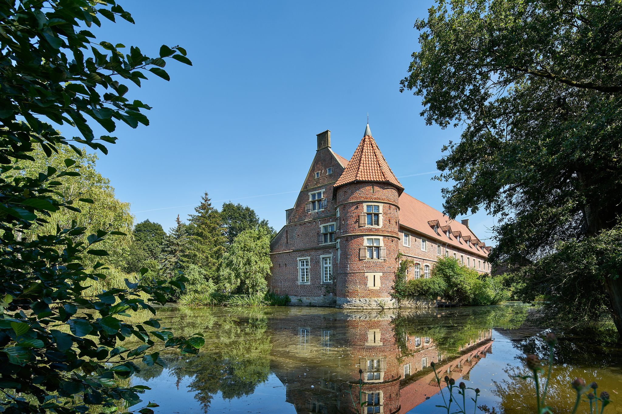
Romantic Münsterland – short trips to castles and palaces
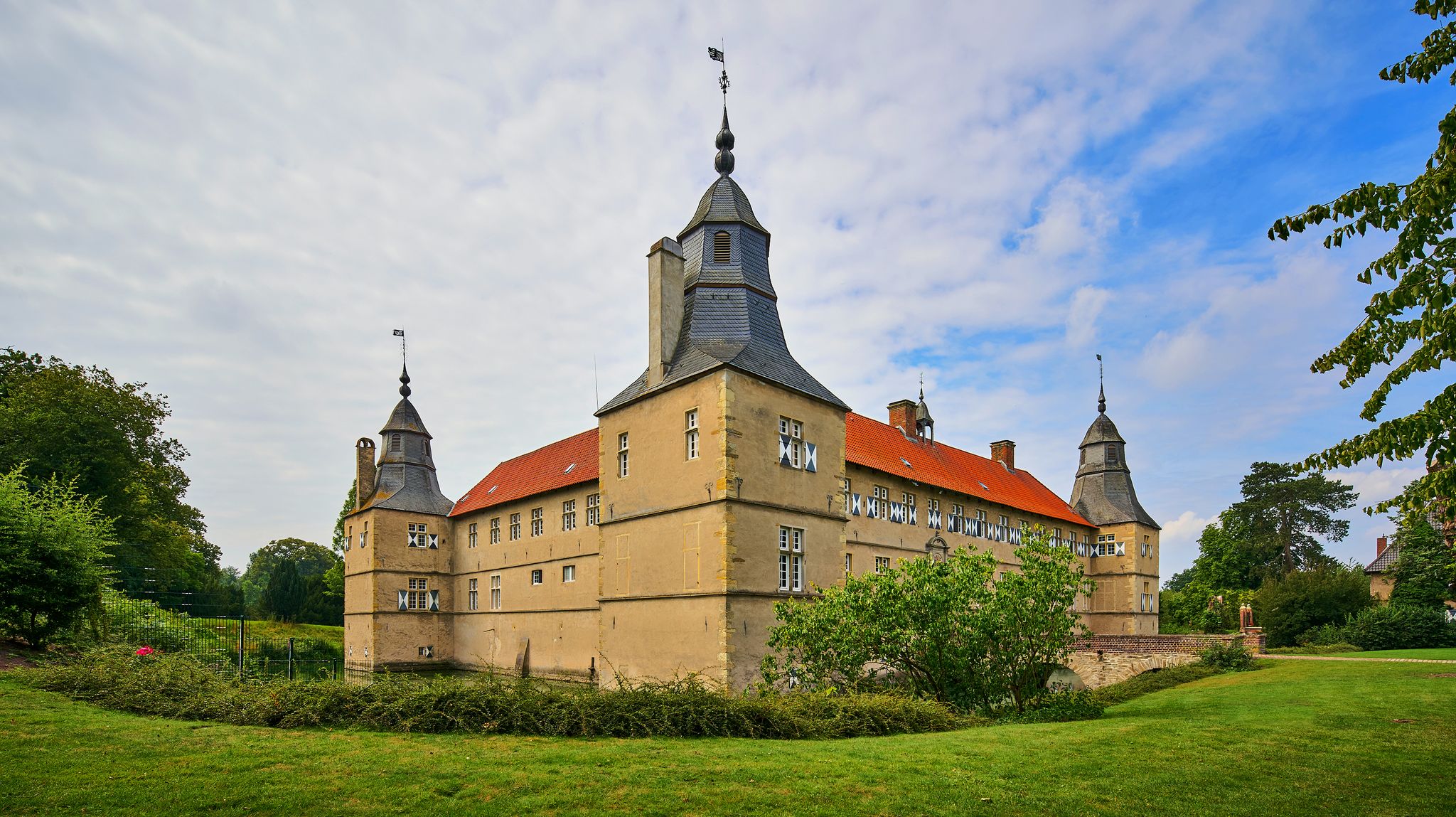
Cycling day trips to the most beautiful castles and palaces in Münsterland
Other adventures around Rheine


Tips from the Community

Worthwhile walk or cycling stage to follow the Salinenkanal from Mühlentörchen to its confluence with the Ems.
0
0
Old mill with the silo and formerly so-called Mühlentörchen. It was once part of the Rheine city wall and the exit in the direction of Bentlager Wald. From the mill, the direct mill outlet, which flows back into the Ems a few meters further, and the Salinenkanal (salt canal) depart. The gradient of the Salinenkanal to its re-entry into the Ems at the Third Lock was used by damming it up at the level of the saltworks to pump the salt brine using water power. The damming and pumping facilities have been restored and can be viewed at the small bridge near the zoo/saltworks.
0
0

The Nepomuk Bridge is a striking structure and a historically significant landmark in the heart of Rheine. It spans the Ems River and connects the western and eastern parts of the city center.
0
0


The official starting point of the "Hermannshöhen" long-distance hiking trail, which runs 226 km along the Hermannsweg and Eggeweg trails from Rheine to Marsberg, is located right next to the tourist information office opposite Rheine train station. You can find a description of the individual stages in our collection: https://www.komoot.com/de-de/collection/1071298/-hermannshoehen-teutoburger-wald-eggegebirge
2
0

Very very large church in the middle of Rheine with the highest church tower for miles around.
3
0

Beautiful city center with good shopping opportunities. To relax you can go to the Ems.
1
0

Imposing neo-Romanesque building, style of a medieval imperial cathedral, similar to the older Paderborn Cathedral. Definitely worth a visit.
0
0
Frequently Asked Questions
How many urban hiking trails are available in Rheine?
There are over 60 urban hiking trails around Rheine, offering a variety of experiences. Most of these routes are rated as easy, making them accessible for many hikers.
What do other hikers enjoy most about urban hiking in Rheine?
The urban hiking trails in Rheine are highly rated by the komoot community, with an average score of 4.6 out of 5 stars from nearly 2,000 ratings. Hikers often praise the scenic paths along the Ems River, the blend of historical sites with nature, and the well-maintained routes suitable for a relaxed stroll through the town and its immediate surroundings.
Are there any easy urban walks suitable for beginners or a relaxed stroll?
Yes, many urban trails in Rheine are easy. For a pleasant and accessible walk, consider the St. Antonius Basilica (Rheine) – Rheine city centre loop from Rheine, which is just under 4 km and takes you through the city center.
Which urban trails offer views of the Ems River?
Many urban trails in Rheine follow the Ems River, offering beautiful waterside views. A great option is the Ems River Beach – Emswehr Rheine loop from Rheine, which provides a scenic walk along the riverbanks.
Are there any urban hikes that pass by historical landmarks?
Absolutely. Rheine's urban trails often integrate historical sites. The Historic Market Square, Rheine – Dionysius Bridge, Rheine loop from Rheine takes you past significant points within the town, including the historic market square and the Dionysius Bridge. You can also explore routes that pass by the impressive St. Antonius Basilica.
What are some interesting natural features or attractions near the urban trails?
While the urban trails focus on the town, you're never far from natural beauty. The Ems River itself is a central feature. For more dramatic natural formations, the Dörenther Cliffs with the unique Crouching Woman rock formation are a short distance away and can be combined with longer hikes. The Salinenpark, known for its salty air and tranquil paths, is also easily accessible.
Are there any longer, more challenging urban hikes in Rheine?
While most urban hikes are easy, there are a few moderate options for those looking for a longer walk. The Dionysius Bridge, Rheine – Emswehr Rheine loop from Rheine is a moderate 11 km route that offers a more extended exploration of the Ems River area.
What is the best season for urban hiking in Rheine?
The best seasons for urban hiking in Rheine are typically spring and autumn. During these times, the weather is mild, and nature displays its most vibrant colors, making for a pleasant walking experience through the town and along the river.
Are there circular urban walks available in Rheine?
Yes, many of the urban hiking trails in Rheine are circular, allowing you to start and end at the same point. This is convenient for exploring the town without needing to retrace your steps. Examples include the St. Vitus Basilica, Rheine – St. Antonius Basilica (Rheine) loop from Rheine.
Can I find urban trails that are suitable for families with children?
Many of Rheine's easy and shorter urban trails are well-suited for families. The flat terrain along the Ems River and through the city parks makes for enjoyable walks with children. Consider routes that pass through areas like the Salinenpark or near the NaturZoo Rheine for added family appeal.
Is public transport available to reach urban hiking starting points in Rheine?
Rheine has a well-connected public transport system, including bus routes and a train station, making it easy to reach various starting points for urban hikes. Many trails begin directly in the city center or are easily accessible from public transport stops.
Most popular routes around Rheine
Most popular attractions around Rheine

Get inspired with the komoot mobile app


Explore more
Browse the best Hikes in other regions.
