The best hikes from bus stations around Schriesheim
4.6
(5843)
32,358
hikers
74
hikes
Bus station hiking trails around Schriesheim offer access to a diverse landscape situated between the Odenwald and Neckar Valley. The region features a mix of sunny vineyards, orchards, dense forests, and secluded meadow valleys. Schriesheim is known for one of the largest forest areas in Baden, providing an extensive network of hiking paths. From various viewpoints, hikers can observe the Rhine plain.
Best bus station hiking trails around Schriesheim
- The most popular bus station hiking route is Inn at the…
Last updated: June 26, 2026
4.7
(193)
760
hikers
9.68km
02:42
180m
180m
Moderate hike. Good fitness required. Easily-accessible paths. Suitable for all skill levels.
4.7
(45)
182
hikers
6.94km
02:02
190m
190m
Moderate hike. Good fitness required. Mostly accessible paths. Sure-footedness required.

Sign up for free
4.6
(44)
148
hikers
6.33km
01:47
130m
130m
Easy hike. Great for any fitness level. Easily-accessible paths. Suitable for all skill levels.
4.6
(37)
158
hikers
6.89km
02:03
200m
200m
Moderate hike. Good fitness required. Mostly accessible paths. Sure-footedness required.
4.6
(8)
57
hikers
Easy hike. Great for any fitness level. Easily-accessible paths. Suitable for all skill levels.
Get access to more routes and recommendations from other explorers.
Sign up for free
Already have an account?
Our route recommendations are based on thousands of hikes, rides, and runs completed by other people on komoot.
Start today with a free account
Your next adventure awaits.
Login or Signup
Popular around Schriesheim
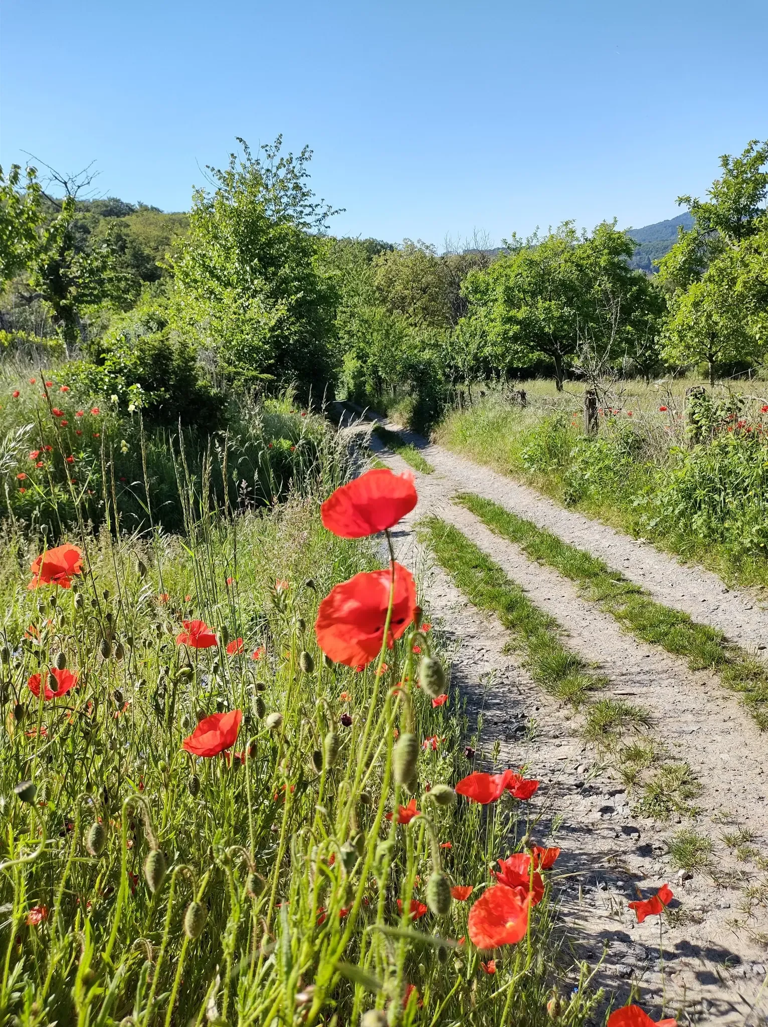
Bergsträßer Blütenweg – Between vines and flowers
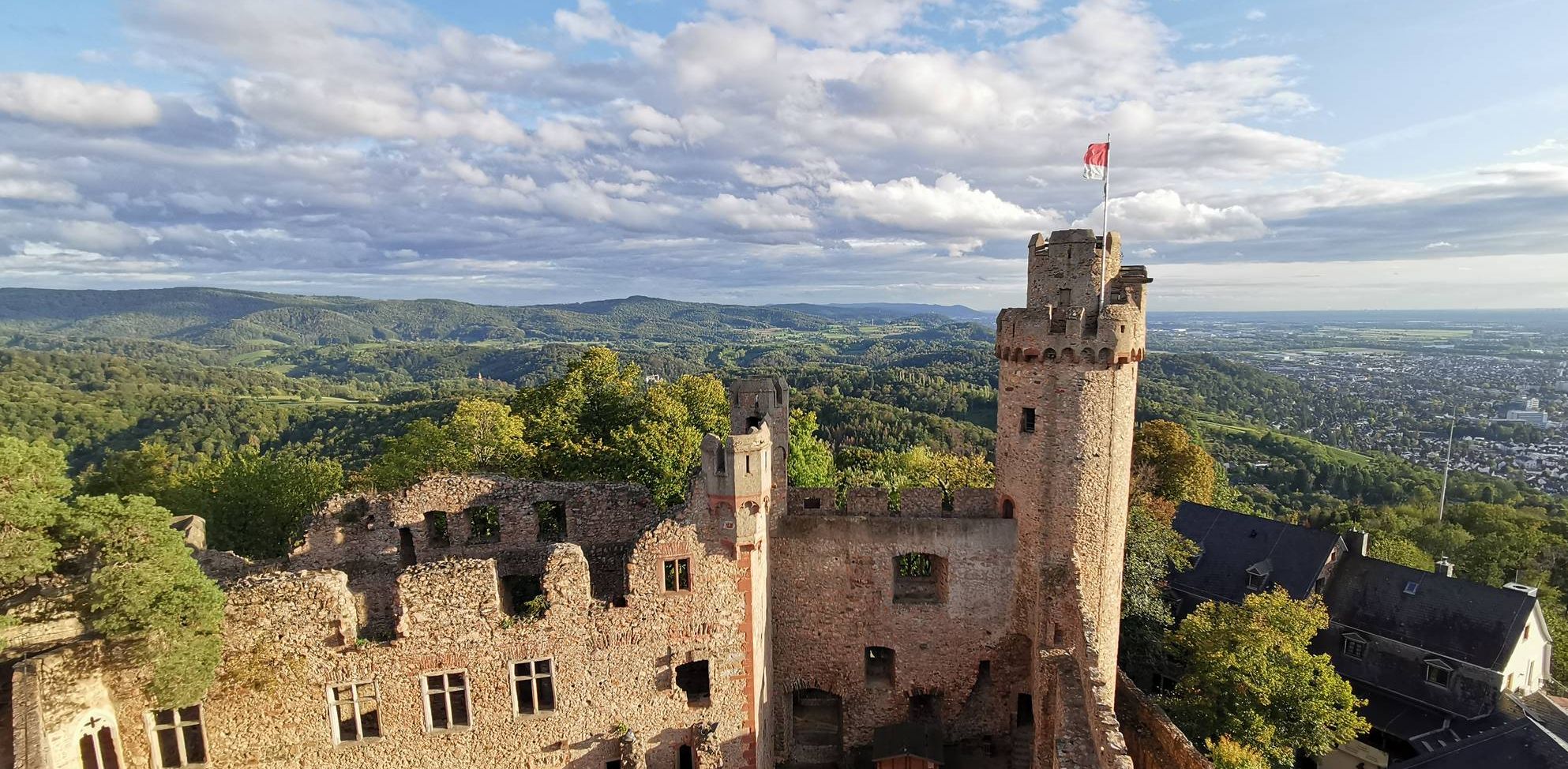
Burgensteig Bergstraße – In the footsteps of knights, hiking in 9 stages
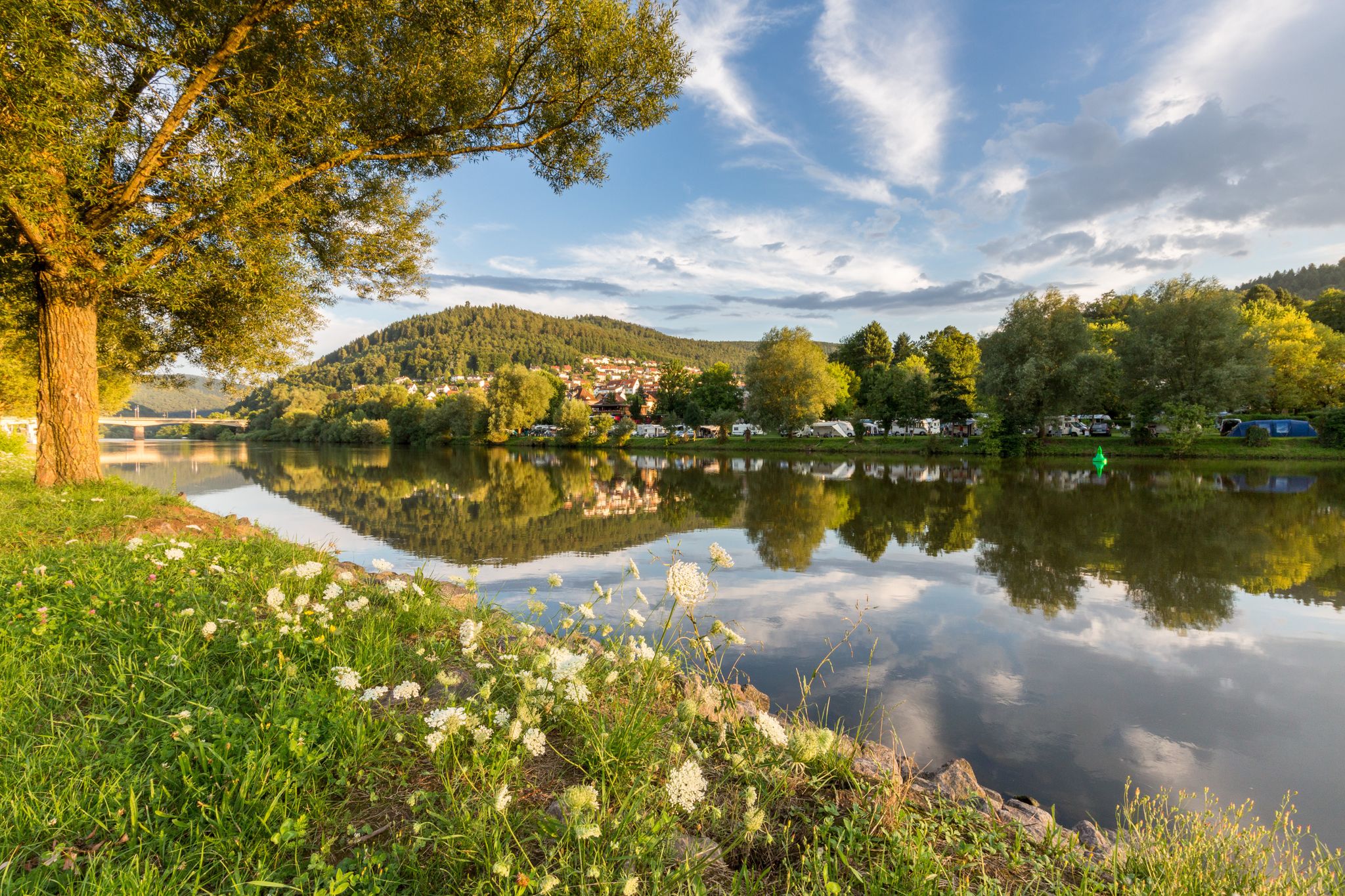
Experience nature – hiking in the Odenwald and Neckar Valley

MTB flow in BW! Trails from the Schwarzwald to the Odenwald
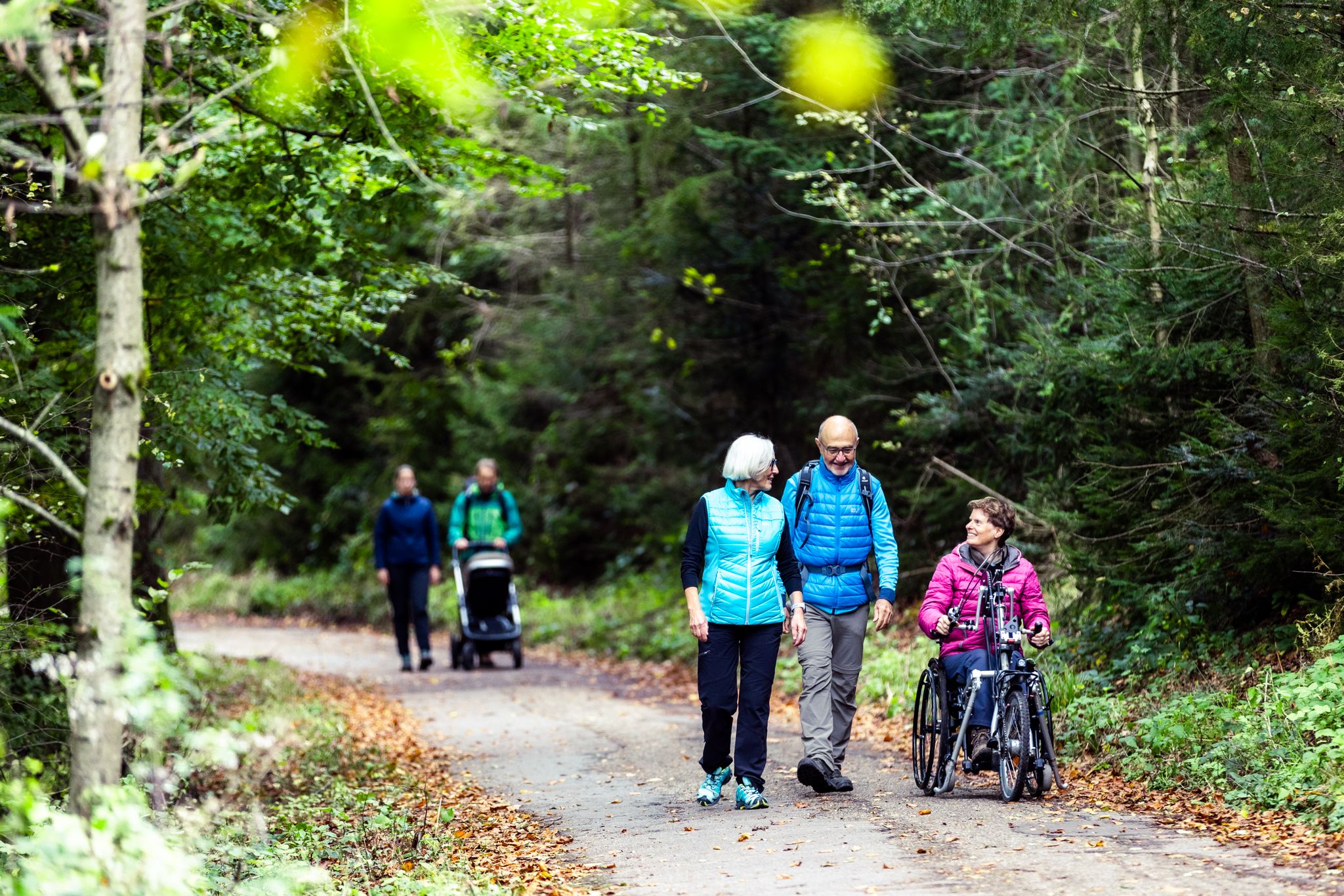
Komfort-Wanderwege im Naturpark Neckartal-Odenwald
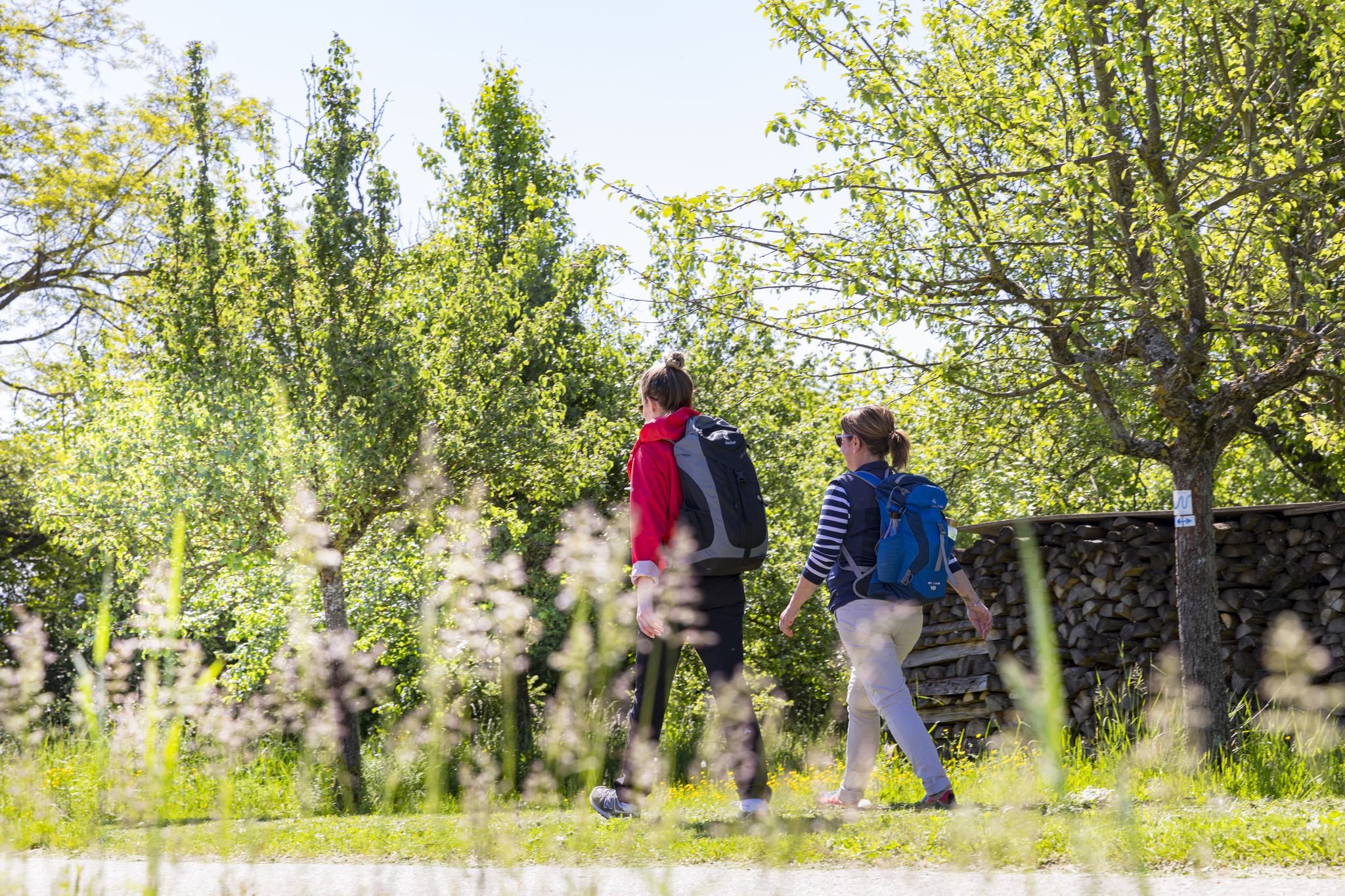
BahnWandern im Naturpark Neckartal-Odenwald
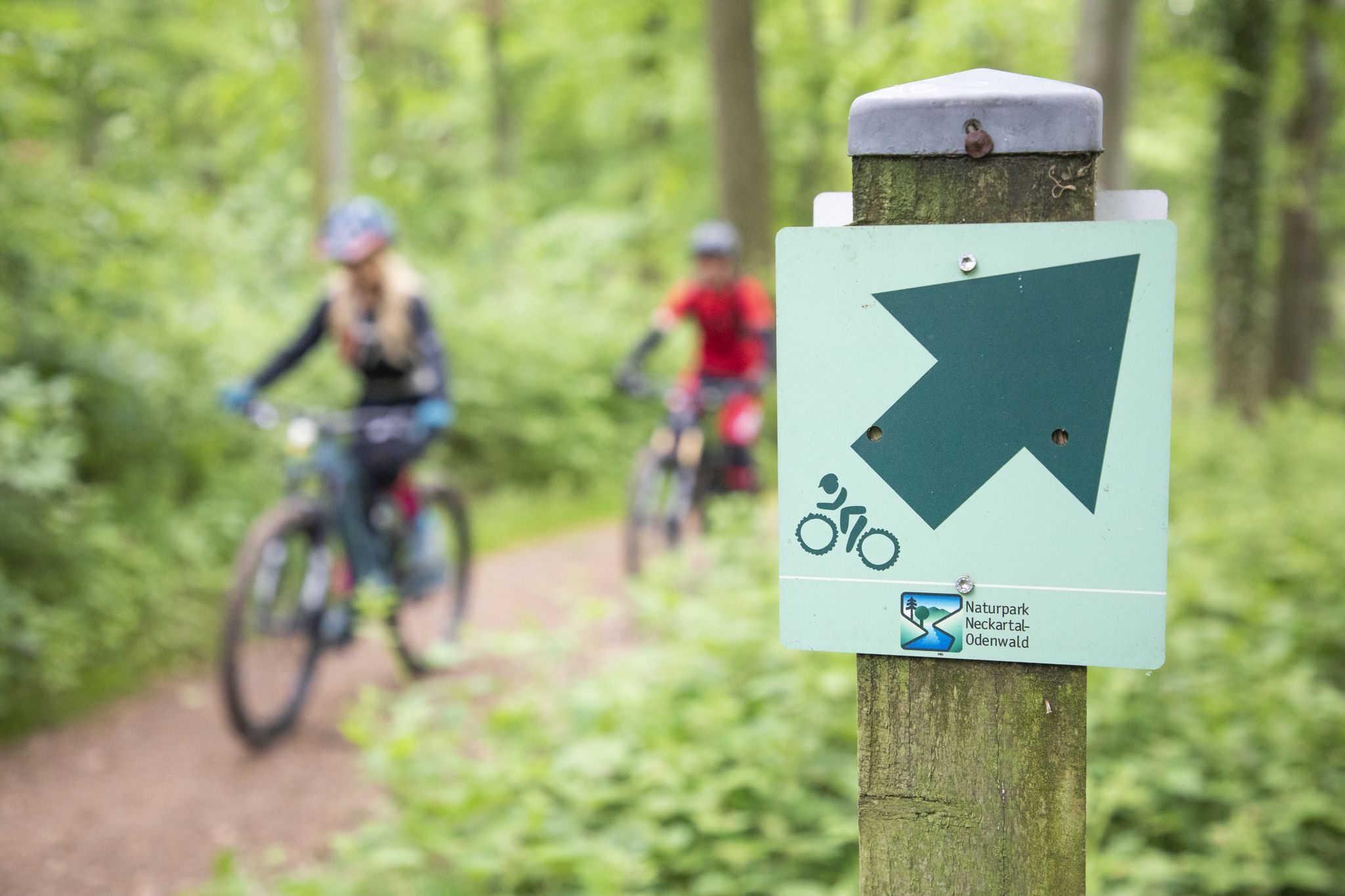
Mountainbike-Touren im Naturpark Neckartal-Odenwald
Other adventures around Schriesheim


Tips from the Community

At the Spatschluchthütte …
0
0

A striking historic building featuring a medieval turret and an ornate chevron gate. A notable architectural curiosity tucked along the route — easy to miss if you're moving fast.
0
0

Beautiful landscape among the vineyards with a great view of the Rhine plain.
1
0
A number of trails start from up here...
1
0
Great view of the Rhine plain.
1
0

Currently located more in the timber trade than in the forest… there aren't many trees left here… the harvester says hello.
0
0
A place for a rest, with a fantastic view when the weather is right... today, only a view of a forgotten hat...🤪
8
0
Frequently Asked Questions
How many hiking trails are accessible directly from bus stations in Schriesheim?
There are nearly 80 hiking routes in and around Schriesheim that are easily accessible from local bus stations. These trails offer a diverse range of experiences, from leisurely strolls through vineyards to more challenging ascents into the Odenwald.
Are there easy or beginner-friendly hiking routes from Schriesheim bus stations?
Yes, Schriesheim offers over 30 easy hiking routes that are perfect for beginners or those looking for a relaxed walk. A great option is the Strahlenburg Castle – View of Strahlenburg loop from Schriesheim, which is an easy 6.3 km trail. Additionally, the region is developing "Comfort-Wanderwege" designed for accessibility, featuring flat inclines and firm surfaces.
Can I find circular hiking routes starting from Schriesheim bus stations?
Absolutely. Many of the trails accessible by bus in Schriesheim are circular, allowing you to start and end your hike at the same point without needing to retrace your steps. An example is the Spatschlucht – Wilhelmstollen Barite Mine loop from Schriesheim, a moderate 5.4 km route that takes you through varied terrain.
What kind of landscapes can I expect on these bus-accessible hikes?
The bus-accessible hikes around Schriesheim offer a rich variety of landscapes. You can expect to traverse sunny vineyards, blossoming orchards, dense forests of the Odenwald, and tranquil meadow valleys. Many routes also provide panoramic views across the Rhine plain, reaching as far as Speyer and Worms.
Are there any historical sites or castles along the bus station hiking trails?
Yes, Schriesheim's trails often incorporate historical sites. The impressive Strahlenburg and Schauenburg ruins are popular features on many routes, offering both historical interest and stunning views. For instance, the View of Strahlenburg – Leutershausen Vineyards loop from Schriesheim passes by the Strahlenburg.
Are there any trails suitable for families with children?
Many of the easy and moderate trails are suitable for families. The region's focus on "Comfort-Wanderwege" ensures paths with gentle inclines and firm surfaces, making them ideal for families. The Strahlenburg Castle – View of Strahlenburg loop from Schriesheim is a good family-friendly option.
What are some scenic viewpoints accessible by bus in Schriesheim?
Schriesheim offers several scenic viewpoints easily reached via bus-accessible trails. The Strahlenburg and Schauenburg ruins provide excellent panoramic vistas. Further afield, the Teltschik Tower in the western Odenwald offers a 360-degree panorama over the Odenwald and towards Mannheim/Ludwigshafen, and can be reached via routes like the Inn at the Weißen Stein – Weißer Stein Observation Tower loop from Wilhelmsfeld.
Can I bring my dog on these hiking trails?
Most hiking trails in the Schriesheim area are dog-friendly, but it's always advisable to keep your dog on a leash, especially in nature reserves, agricultural areas, or near livestock. Ensure you carry water for your pet and clean up after them.
Are there opportunities for refreshments or cafes along the routes?
Yes, many routes are designed to pass through or near villages and towns, providing opportunities for breaks and refreshments. You'll often find traditional inns, cafes, or restaurants where you can stop for a meal or a drink, especially in Schriesheim itself or nearby communities.
What is the best time of year to hike from Schriesheim bus stations?
Spring and autumn are particularly beautiful for hiking in Schriesheim. In spring, the Bergsträßer Blütenweg, which passes through the area, is spectacular with blossoming orchards. Autumn offers vibrant fall foliage in the forests and vineyards. Summer is also pleasant, especially in the shaded forest sections, while winter can provide unique, quiet landscapes, though some paths might be muddy or icy.
What do other hikers enjoy most about hiking in Schriesheim?
The area is highly rated by the komoot community, with an average score of 4.57 stars. Reviewers often praise the diverse landscapes, the well-maintained trails, and the combination of natural beauty with historical landmarks like the Strahlenburg. The accessibility via public transport is also frequently highlighted as a major benefit.
Are there any unique natural features to explore on these hikes?
Beyond the general landscapes, you can explore unique natural features like the Spatschlucht gorge, which is part of several hiking loops, including the Wilhelmstollen Barite Mine – Spatschlucht loop from Schriesheim. The Ölberg, located between Schriesheim and Dossenheim, is also a notable spot with a show mine.
Most popular routes around Schriesheim
Most popular attractions around Schriesheim

Get inspired with the komoot mobile app


Explore more
Browse the best Hikes in other regions.
