The best hikes from bus stations around Oranienburg
4.5
(1902)
8,690
hikers
251
hikes
Bus station hiking trails around Oranienburg offer access to diverse natural landscapes north of Berlin. The region is characterized by the Havel River and Oder-Havel Canal, providing paths along waterways. Extensive lowlands, forested elevations, and numerous lakes like Lehnitzsee contribute to the varied terrain. The Briesetal Wetlands feature pristine alder carr forests, offering a unique environment for exploration.
Best bus station hiking trails around Oranienburg
- The most popular bus station hiking route is Oder-Havel Canal at Malz – Weir in the Schnelle Havel loop from Malz, a 7.0 miles (11.2 km) trail that takes 2 hours 51 minutes to complete, following the canal and river through a flat landscape.
- Another top favourite among local hikers is Grabowsee Beach – Grabowsee Bridge loop from Oranienburg, a moderate 11.1 miles (17.8 km) path. This route explores the shores of Grabowsee, offering views of the lake and its surroundings.
- Local hikers also love the Oder-Havel Canal at Malz – Weir in the Schnelle Havel loop from Freienhagen, an 8.7 miles (14.0 km) trail leading through the canal and river landscape, often completed in about 3 hours 34 minutes.
- Hiking around Oranienburg is defined by riverine paths, lake circuits, and wetland forests. The network offers options for various ability levels, from easy strolls to more moderate excursions.
- The routes in Oranienburg are highly rated by the komoot community with an average score of 4.6 stars from more than 2300 reviews. More than 10000 hikers have used komoot to explore Oranienburg's varied terrain.
Last updated: July 10, 2026
4.8
(37)
156
hikers
Moderate hike. Good fitness required. Easily-accessible paths. Suitable for all skill levels.
4.8
(37)
107
hikers
17.8km
04:32
50m
50m
Moderate hike. Good fitness required. Easily-accessible paths. Suitable for all skill levels.

Sign up for free
4.8
(29)
317
hikers
4.88km
01:15
20m
20m
Easy hike. Great for any fitness level. Easily-accessible paths. Suitable for all skill levels.
4.8
(22)
79
hikers
Moderate hike. Good fitness required. Easily-accessible paths. Suitable for all skill levels.
4.5
(27)
99
hikers
Moderate hike. Good fitness required. Easily-accessible paths. Suitable for all skill levels.
Get access to more routes and recommendations from other explorers.
Sign up for free
Already have an account?
Our route recommendations are based on thousands of hikes, rides, and runs completed by other people on komoot.
Start today with a free account
Your next adventure awaits.
Login or Signup
Popular around Oranienburg
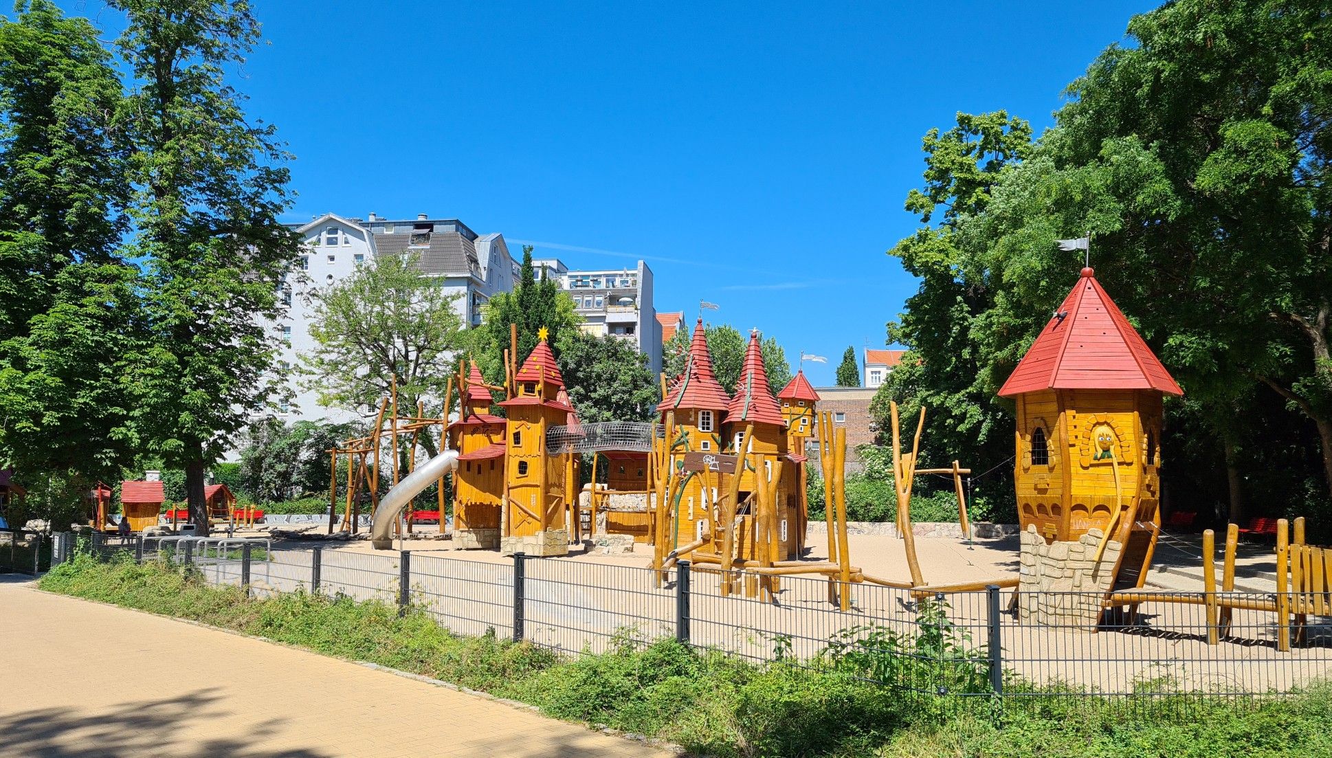
Hike and explore – take the S–Bahn to Berlin’s best playgrounds
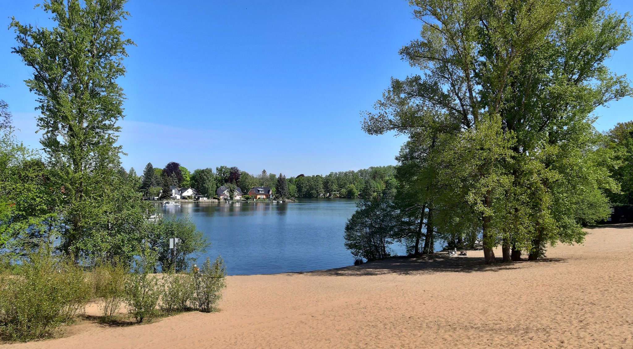
Swimming fun — on the S-Bahn to the lakes of Berlin and Brandenburg

Strawberry, Raspberry & Blueberry - by S-Bahn to berry picking
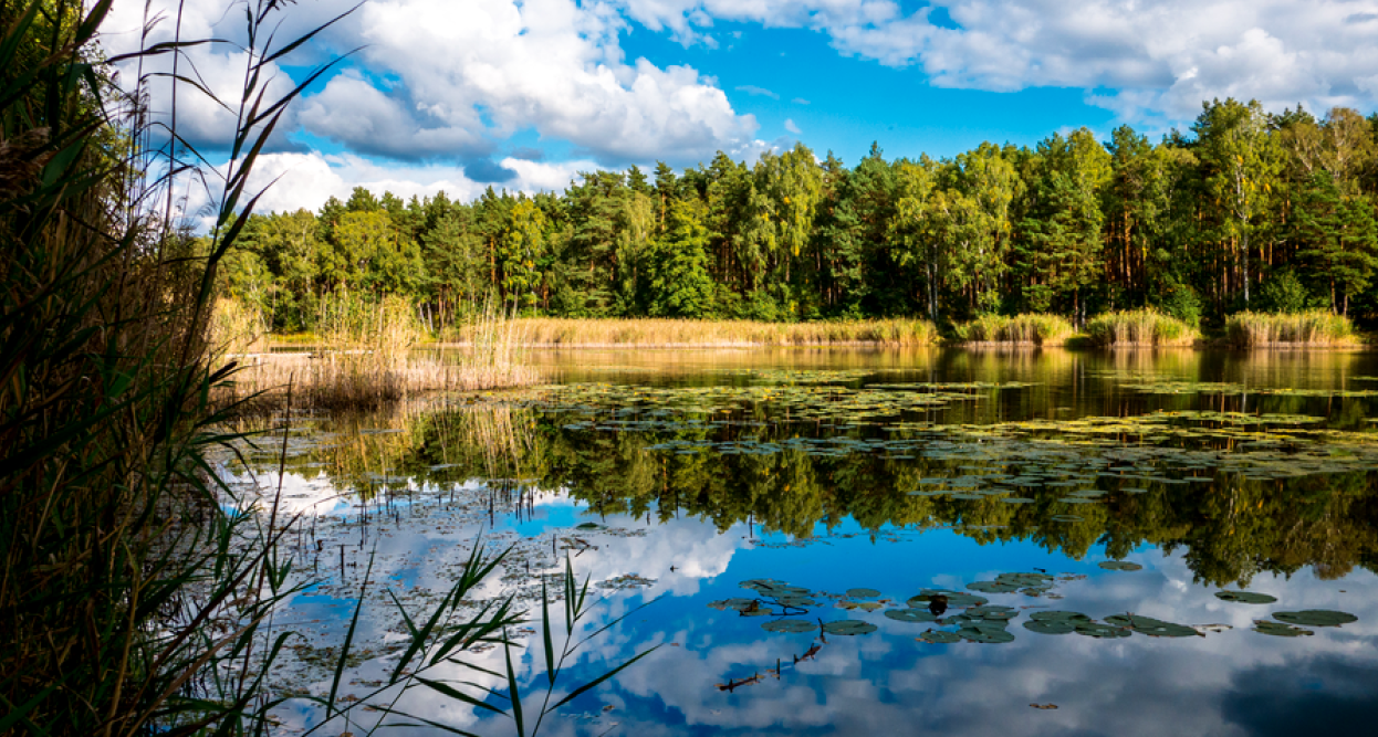
Five amazing lake hikes around Brandenburg
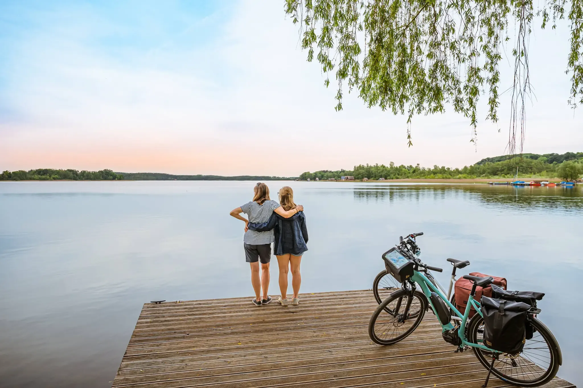
The long distance bicycle route Berlin-Copenhagen
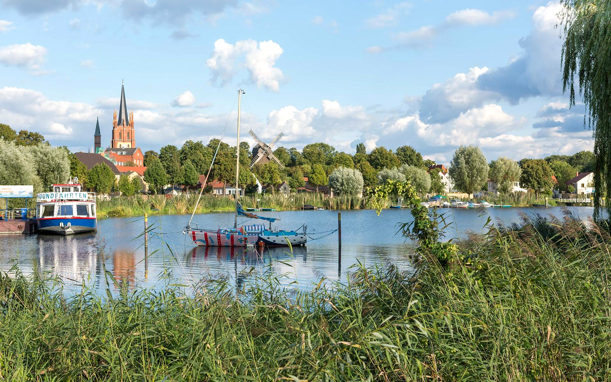
The Havel Cycle Path – in 6 stages from its source to its mouth
The FONTANE.RAD route – ride in the footsteps of writer Theodor Fontane
Tourentipps des ADFC Berlin - mit S- oder U-Bahn erreichbar
Other adventures around Oranienburg


Tips from the Community

nice path by the canal, few damages
0
0

The eastern shore with its nature trail and views is the most beautiful passage when circumnavigating the lake.
1
0
Largest and most beautiful bathing area on the lake.
1
0
Small sandy beach, there is a larger one on the east shore.
1
0

Nice little bathing area.....what more could you want
0
0
Here, a 200-300 meter long trail runs parallel to the main path, but partly directly along the water.
1
0
Part of the eastern shore is privately owned and features beautiful houses. However, most of it can be walked along a lovely waterfront path.
1
0
Frequently Asked Questions
How many bus-accessible hiking trails are available around Oranienburg?
There are over 270 hiking routes around Oranienburg that are accessible by bus, offering a wide range of options for all skill levels. This includes 168 easy, 92 moderate, and 10 difficult trails.
What kind of natural landscapes can I expect to see on bus-accessible hikes in Oranienburg?
Oranienburg's bus-accessible trails showcase diverse landscapes, including paths along the Havel River and Oder-Havel Canal, serene lake shores like Lehnitzsee, and the unique, pristine alder carr forests of the Briesetal Wetlands. You'll also find extensive lowlands and forested areas.
Are there any family-friendly hiking routes accessible by bus in Oranienburg?
Yes, many trails are suitable for families. An easy option is the Mammoth Statue – Woolly Mammoth Statue loop from Germendorf, which is just under 5 km and offers a pleasant walk. The areas around Lehnitzsee also feature gentle paths perfect for a family outing.
Can I bring my dog on these bus-accessible hiking trails?
Generally, dogs are welcome on trails around Oranienburg. However, leash regulations may apply, especially in nature reserves like the Briesetal Wetlands or around popular swimming areas such as Lehnitzsee. Always keep your dog under control and check local signage for specific rules.
Are there any circular hiking routes that start and end near a bus station?
Yes, many routes are designed as circular walks for convenience. For example, the Oder-Havel Canal at Malz – Weir in the Schnelle Havel loop from Malz is a moderate 11 km circular hike that can be accessed via local bus services to Malz.
What are some notable landmarks or points of interest along the bus-accessible trails?
You can discover various points of interest. For instance, the Fuchsberge forest offers natural beauty, while the Hubertus Bridge provides a scenic crossing. Near Lehnitzsee, you might find pleasant swimming areas. Oranienburg Palace and its park are also easily accessible and can be integrated into a leisurely stroll.
What is the best time of year to go hiking around Oranienburg using public transport?
Spring and autumn are generally the best seasons for hiking in Oranienburg. The weather is mild, and the natural scenery, whether blooming or displaying vibrant fall colors, is at its most beautiful. Summer can be pleasant, especially around lakes like Lehnitzsee, but be mindful of warmer temperatures.
Are there any longer, more challenging bus-accessible hikes available?
For those seeking a longer challenge, the Grabowsee Beach – Grabowsee Bridge loop from Oranienburg is a moderate 17.8 km route. Another option is the East Shore of Lehnitzsee – Hidden Coves at Lehnitzsee loop from Sachsenhausen, covering nearly 15 km.
What do other hikers enjoy most about the bus-accessible trails in Oranienburg?
The area is highly rated by the komoot community, with an average score of 4.5 stars. Reviewers often praise the quiet woodlands, the scenic paths along the Havel River and lakes, and the accessibility of these natural escapes via public transport.
Are there places to eat or rest near the bus-accessible hiking trails?
Yes, you can often find cafes or guesthouses in the villages and towns along the routes, such as near Lehnitzsee or in Germendorf. The Forsthaus Wensickendorf is an example of a hut that might offer refreshments. It's always a good idea to check opening times in advance.
Most popular routes around Oranienburg
Most popular attractions around Oranienburg

Get inspired with the komoot mobile app


Explore more
Browse the best Hikes in other regions.
