The best hikes from bus stations around Pfalzgrafenweiler
4.5
(3832)
13,643
hikers
125
hikes
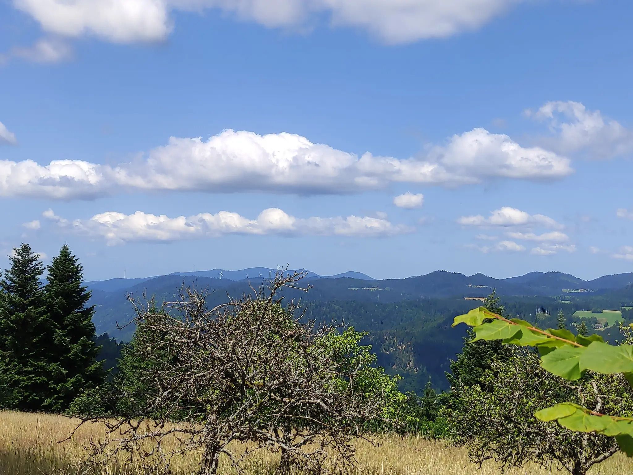
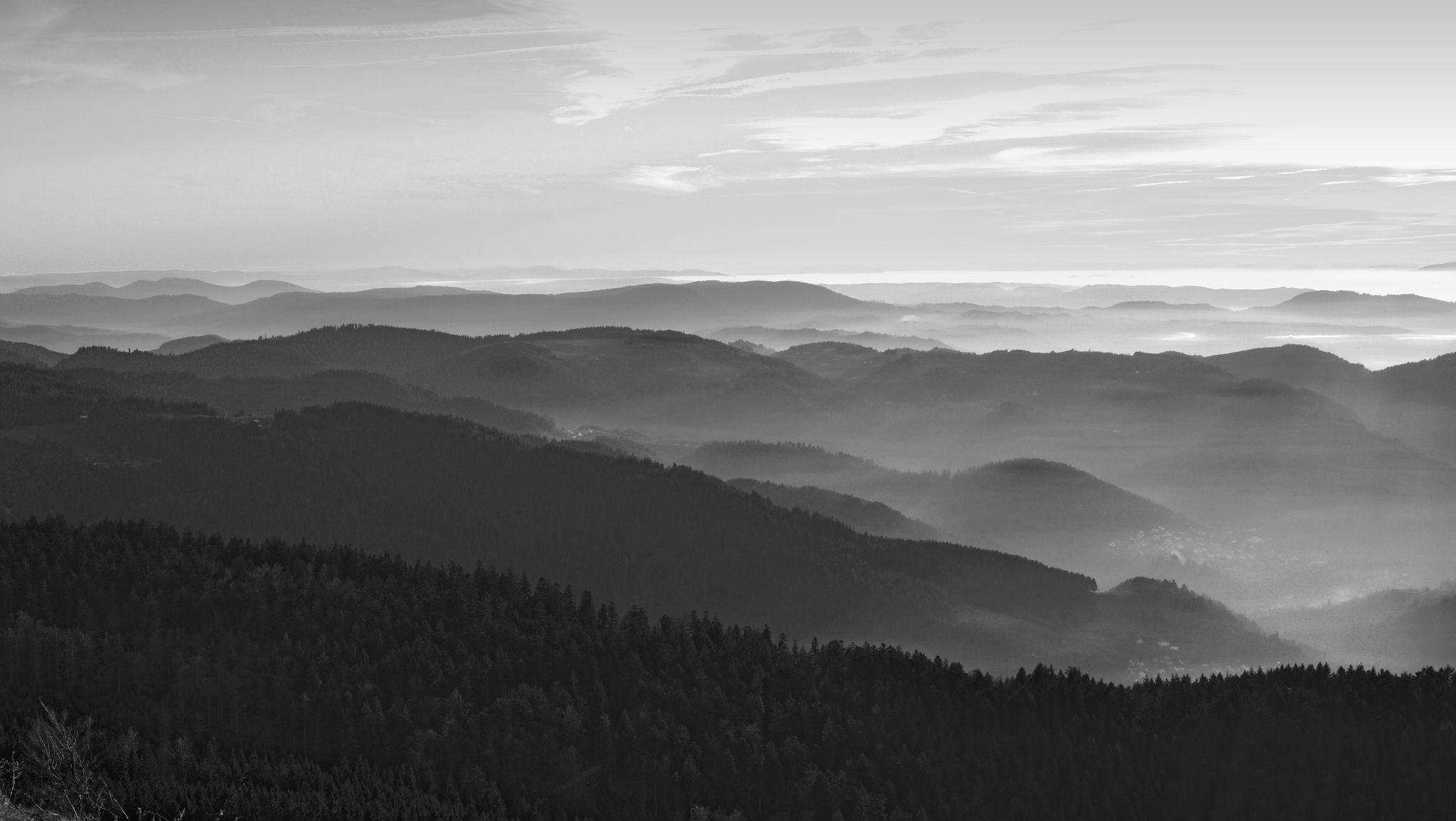
Hiking around Pfalzgrafenweiler offers diverse bus station hiking trails through the rolling hills of the Black Forest. The region features a mix of dense forests and open spaces, with valleys like Dürrbach, Zinsbach, and Bömbach providing secluded natural areas with flowing streams. Trails often lead through varied landscapes, offering panoramic views over the Neckar valley and towards the Swabian Alb from elevated points. This area provides a range of routes suitable for different fitness levels, accessible via public transport.
Best…
Last updated: September 30, 2026
4.5
(112)
382
hikers
Moderate hike. Good fitness required. Mostly accessible paths. Sure-footedness required.
4.8
(88)
246
hikers
6.99km
02:02
180m
180m
Moderate hike. Good fitness required. Easily-accessible paths. Suitable for all skill levels.

4.7
(60)
210
hikers
6.14km
01:42
110m
110m
Easy hike. Great for any fitness level. Easily-accessible paths. Suitable for all skill levels.
4.7
(42)
146
hikers
13.2km
03:47
290m
290m
Moderate hike. Good fitness required. Easily-accessible paths. Suitable for all skill levels.
4.6
(39)
169
hikers
6.95km
01:53
100m
100m
Easy hike. Great for any fitness level. Easily-accessible paths. Suitable for all skill levels.
Get access to more routes and recommendations from other explorers.
Already have an account?
Our route recommendations are based on thousands of hikes, rides, and runs completed by other people on komoot.
Start today with a free account
Your next adventure awaits.
Other adventures around Pfalzgrafenweiler


Tips from the Community

The Bösinger Wasserhäusle was a pumping station and was used to transport fresh spring water from a source in the Waldach valley via cast iron pipes to the village of Bösingen (a district of the municipality of Pfalzgrafenweiler), located 1.4 km away and 140 meters higher up. The pumps were driven by the water power of the Waldach. A water wheel with a diameter of six meters was used. The facility went into operation in 1894. In 1911, it was supplemented by an 8 hp gasoline engine, which could now also drive the pumps during low water levels in the Waldach. In 1948, it was connected to the power grid via a transformer station, after which a newly installed electric motor could serve as a backup drive. The Bösingen's own water supply was taken out of service in 1991 due to drinking water contamination. The entire facility, including the weir, the power channel, and the pumping station, has been protected as a cultural-historical monument since 2000. The pumping station can be visited all day on the Day of the Open Monument. Source: https://de.wikipedia.org/wiki/B%C3%B6singer_Wasserh%C3%A4usle
0
0
Beautiful single trail path 🏞🥾 - Below the Vörbach ruin 🏰 / Nördlinger Hütte - Pfalzgrafenweiler - LKR. Freudenstadt
2
0
Maschenpfad Experience trail - Maschenpfad An experience trail to marvel at with currently 13 stations over approx. 2.5 km, based on an idea by Anne Krimmer. A colorful world of animals and plants made of crocheted and knitted motifs accompanies you through the forest. The start is at Schloßwald at the barrier of Nördlinger Hütte, continuing over the Zick-Zack-Weg to the end of the path below the Mandelberg ruins. The unraveled story of the Knitterbibus Can be seen as the Maschenpfad in the Schlosswald in Pfalzgrafenweiler. Sources: https://www.pfalzgrafenweiler.de/tourismus-freizeit/erlebniswege/maschenpfad https://wollklunker.blogspot.com/
1
0
Beautiful playground on the Schlossweg 🏞🏰🥾 - Pfalzgrafenweiler - LKR. Freudenstadt
2
0

Super beautiful view with great small infrastructure (lying and table places)
0
0
Super schnapps and liqueur station with a small spring water fountain. Everything very professional and tidy.
0
0

Weir on the Waldach, 300-meter-long drive channel, iron, backward-acting water wheel with spur gear transmission, 6 meters in diameter (originally lined with wooden paddles), 3 meters of head in the drive channel, pump output: 3-5 HP depending on water inflow from the drive channel, double-acting plunger pump from Maschinenfabrik Esslingen from the year 1893 with a high-performance suction and delivery pump and pressure vessel. In 1991, the plant was shut down as a private water supply due to contaminated spring water. Depending on the water level of the Waldach, the pumping station managed to pump 160,000 liters of fresh spring water directly into the houses and into the water reservoir in Bösingen, 2.3 km away and 140 meters higher, in 8 to 14 hours. The spring yields 1-2 liters per second depending on the season.
0
0

4 circular hikes starting from the parking lot at the Waldsägmühle
6
0
Frequently Asked Questions
How many hiking trails are accessible from bus stations around Pfalzgrafenweiler?
There are over 115 hiking trails around Pfalzgrafenweiler that are easily accessible from local bus stations. This makes it convenient to explore the diverse landscapes of the Black Forest region without needing a car.
Are there easy hiking routes suitable for beginners or families?
Yes, Pfalzgrafenweiler offers a good selection of easy hikes. For example, the Waldsägmühle Hiking Car Park – Old Spruce loop from Pfalzgrafenweiler is an easy 6.7 km route. Many trails are well-maintained and suitable for a relaxed outing, often leading through charming nature and cultural landscapes.
Can I find circular hiking routes starting from bus stops?
Absolutely. Many routes are designed as circular trails, allowing you to start and end your hike at the same bus station. The Playground on Schlossweg – Nördlinger Hut loop from Pfalzgrafenweiler is a moderate 7 km circular route that offers varied scenery.
What kind of natural landscapes and features can I expect to see?
The region around Pfalzgrafenweiler is characterized by a mix of dense forests and expansive open spaces. You can explore secluded natural areas within the Dürrbach, Zinsbach, and Bömbach valleys, where idyllic streams flow. The Zinsbachtal Valley is particularly notable for its natural beauty.
Are there any routes that feature waterfalls or special water bodies?
Yes, the region is known for its water features. The Zinsbach valley features streams, and the "Wasserfallsteig" (Waterfall Trail) offers an adventurous route along several waterfalls and streams, providing refreshing sounds and impressive natural spectacles. The Nagold Reservoir Lakeside Path – Erzgrube Lake loop from Waldsägmühle is another great option for water views.
What are some notable attractions or viewpoints along these bus-accessible trails?
Many trails offer panoramic views over the Neckar valley and even towards the Swabian Alb. The Egenhauser Kapf is a protected landscape area known for its magnificent vistas. You might also encounter historical sites like the remains of the Zinsbach chapel or the "Bat Cellar" in the Zinsbach valley. For historical architecture, consider routes that pass near Hohennagold Castle Ruins or Berneck Castle.
Are the hiking trails around Pfalzgrafenweiler dog-friendly?
Most trails in the Pfalzgrafenweiler area are dog-friendly, allowing you to enjoy the natural beauty with your canine companion. It's always recommended to keep dogs on a leash, especially in nature reserves or near livestock, and to carry waste bags. The varied terrain of forests and open spaces provides a great environment for dogs.
What is the best time of year to go hiking in this region?
Pfalzgrafenweiler offers enjoyable hiking experiences throughout the year. Spring brings vibrant flora, especially around Wildsee Lake. Summer is ideal for longer hikes, while autumn showcases stunning foliage. Even winter can be beautiful for a crisp walk, though some trails might require appropriate gear for snow or ice.
Are there longer or more challenging routes for experienced hikers?
Yes, for those seeking more challenge, there are moderate to difficult routes. The Pfalzgrafenweiler Four Castles Trail is a moderate 14 km hike with significant elevation changes, offering a rewarding experience for more seasoned hikers.
What do other hikers say about the trails around Pfalzgrafenweiler?
The hiking trails in this area are highly rated by the komoot community, with an average score of 4.5 stars. Reviewers often praise the well-maintained paths, the diverse scenery ranging from dense forests to open panoramic views, and the convenience of accessing trails directly from bus stations.
Are there options for refreshments or places to eat along the routes?
While specific refreshment points vary by route, many trails pass through or near villages where you can find local cafes or restaurants. It's always a good idea to check the route details beforehand and pack sufficient water and snacks, especially for longer excursions.
Most popular routes around Pfalzgrafenweiler
Most popular attractions around Pfalzgrafenweiler

Get inspired with the komoot mobile app


Explore more
Browse the best Hikes in other regions.
