The best hikes from bus stations around Pirna
4.6
(16902)
56,168
hikers
250
hikes
Hiking around Pirna offers access to the Elbe Sandstone Mountains, characterized by distinctive rock formations and deep gorges. The Elbe River meanders through the landscape, providing riverside trails and views. This region, often called the "gateway to Saxon Switzerland National Park," features impressive table mountains and diverse terrain.
Best bus station hiking trails around Pirna
- The most popular bus station hiking route is Liebethaler Grund – Lochmühl Bridge loop from Liebethal, an easy 3.4 miles (5.5 km) trail that…
Last updated: August 20, 2026
4.8
(178)
677
hikers
9.69km
02:41
170m
170m
Moderate hike. Good fitness required. Easily-accessible paths. Suitable for all skill levels.
4.6
(62)
196
hikers
Moderate hike. Good fitness required. Easily-accessible paths. Suitable for all skill levels.

Sign up for free
4.7
(43)
119
hikers
5.05km
01:22
70m
70m
Easy hike. Great for any fitness level. Easily-accessible paths. Suitable for all skill levels.
4.8
(28)
84
hikers
Moderate hike. Good fitness required. Easily-accessible paths. Suitable for all skill levels.
4.9
(30)
113
hikers
13.0km
03:46
330m
330m
Moderate hike. Good fitness required. Easily-accessible paths. Suitable for all skill levels.
Get access to more routes and recommendations from other explorers.
Sign up for free
Already have an account?
Our route recommendations are based on thousands of hikes, rides, and runs completed by other people on komoot.
Start today with a free account
Your next adventure awaits.
Login or Signup
Popular around Pirna
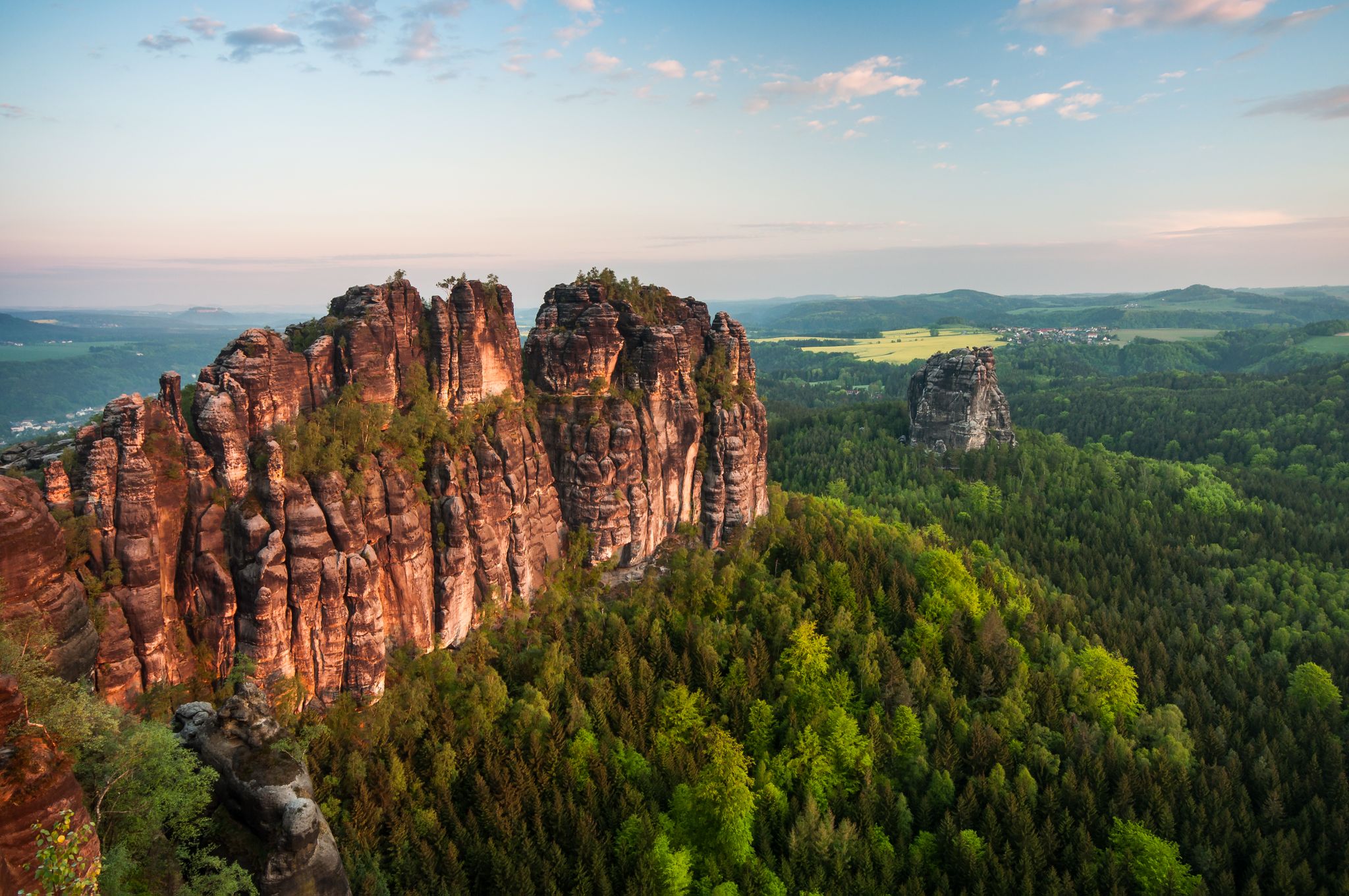
Malerweg — following the trails of the artists in Saxon Switzerland

Towers, treasures & mountain railways – out and about with children in Dresden Elbland
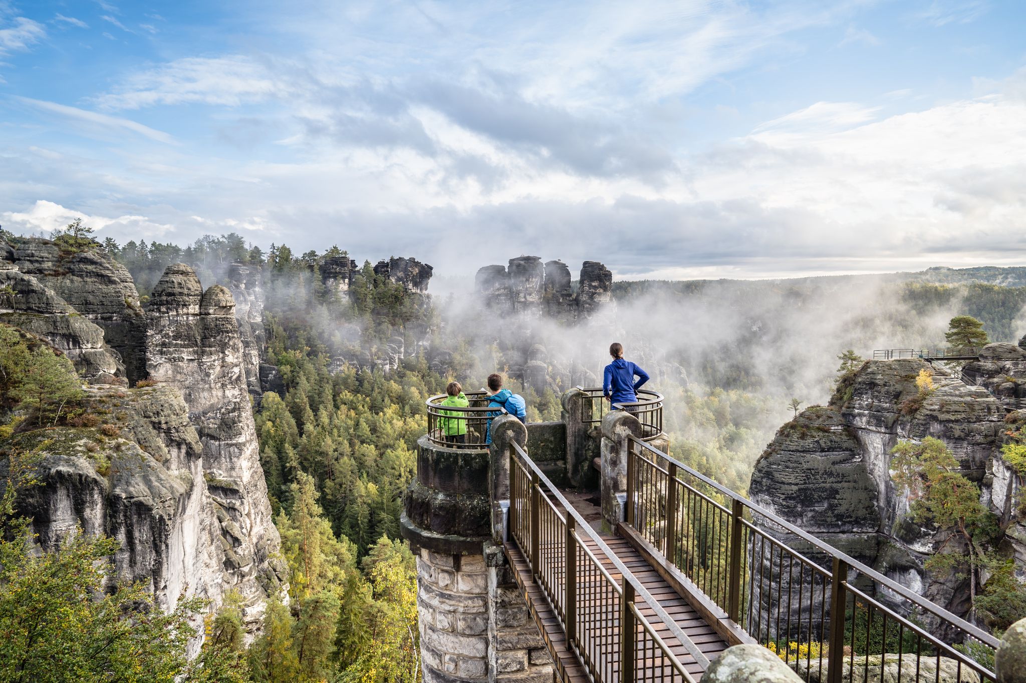
Natural wonders of Saxony – hiking with the wow factor
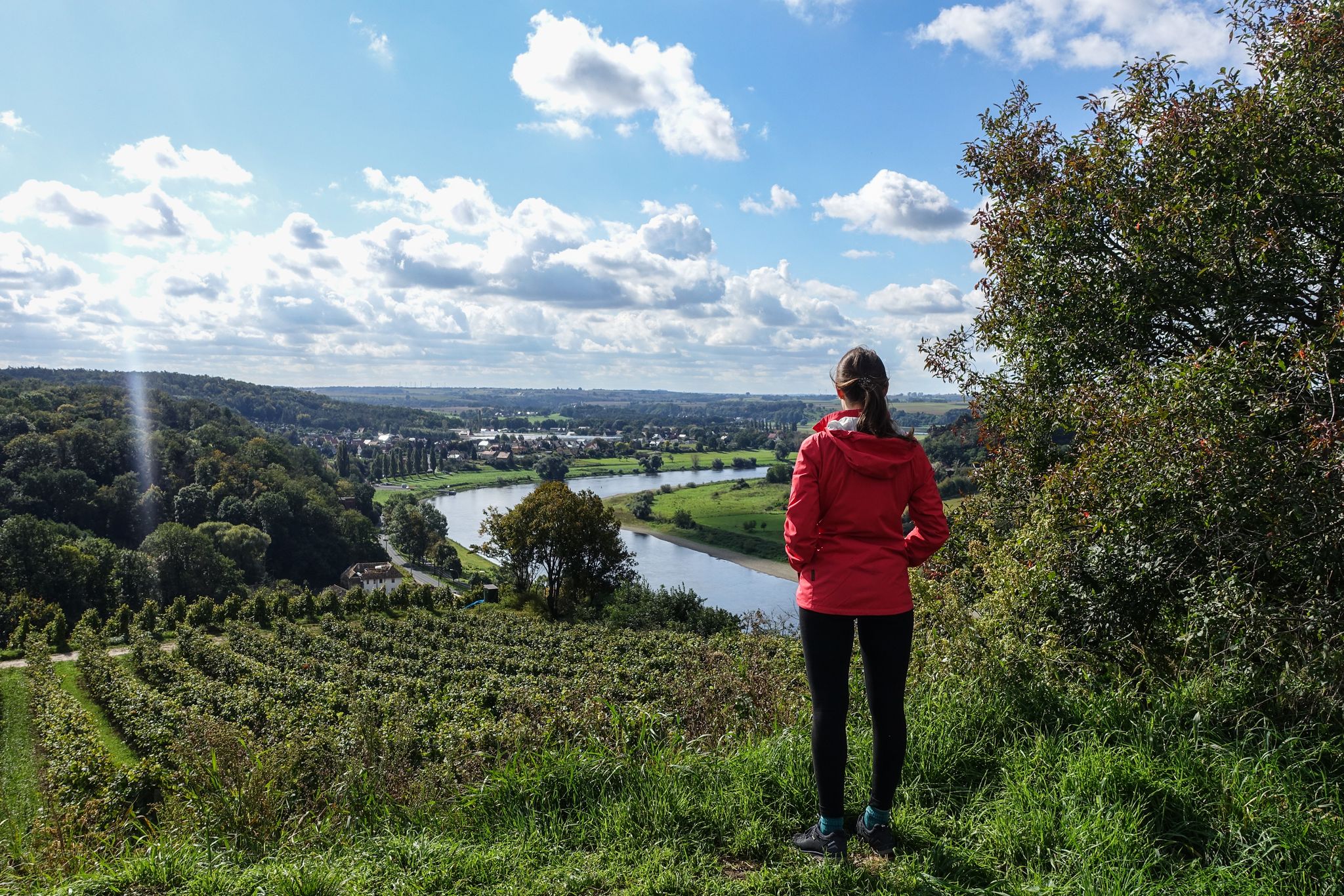
Saxon Wine Trail – late summer in the Dresden Elbland region
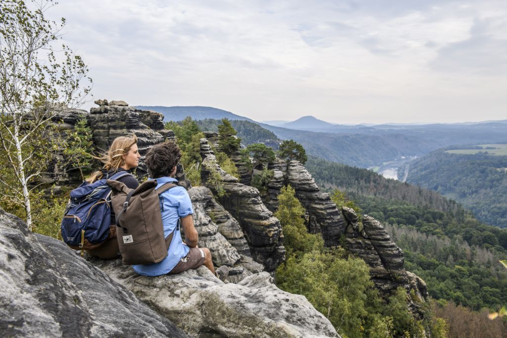
Elbe Sandstone Mountains – around Schmilka and Bad Schandau
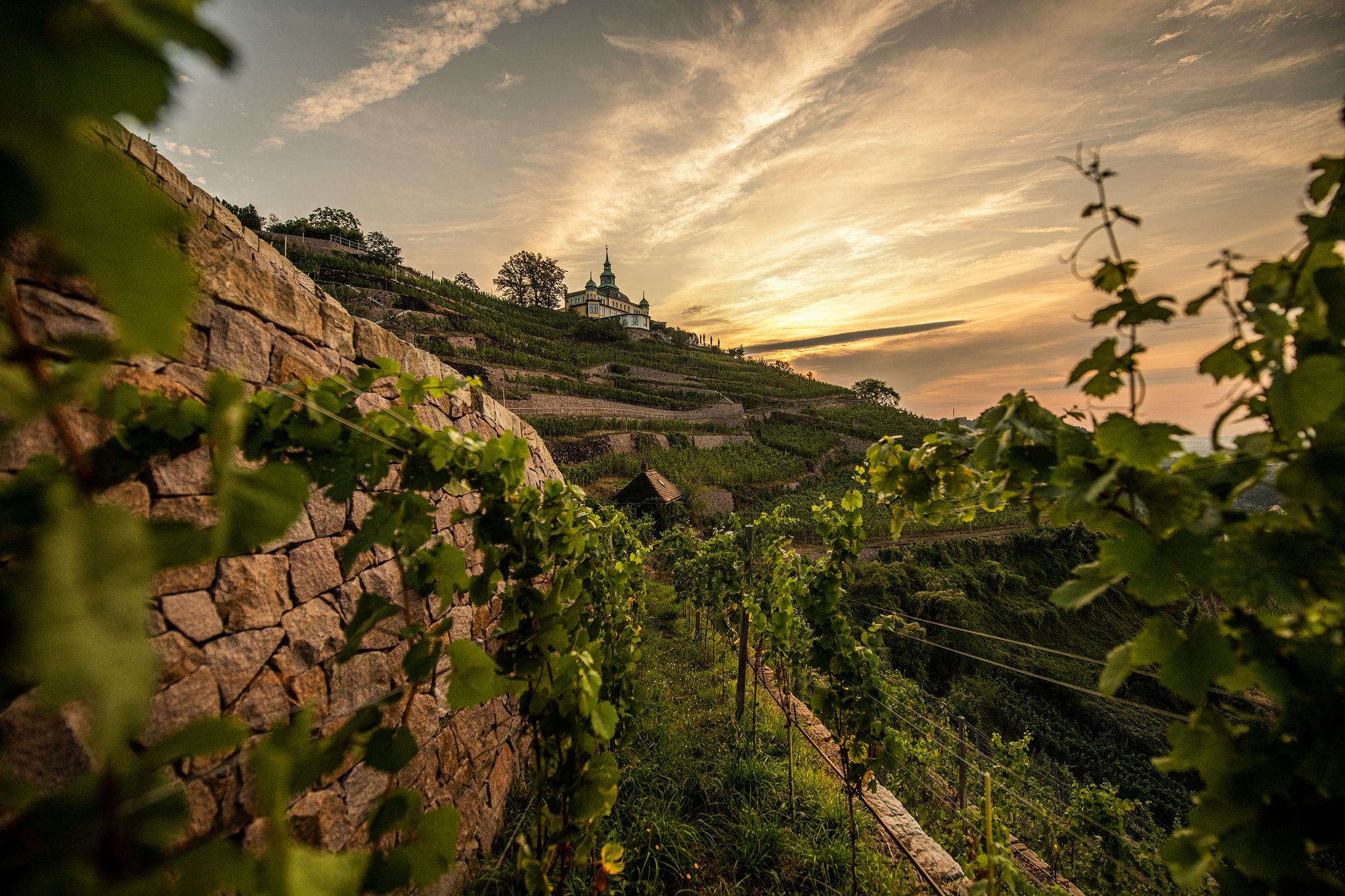
Saxon Wine Trail – discover Germany’s 800-year old wine tradition
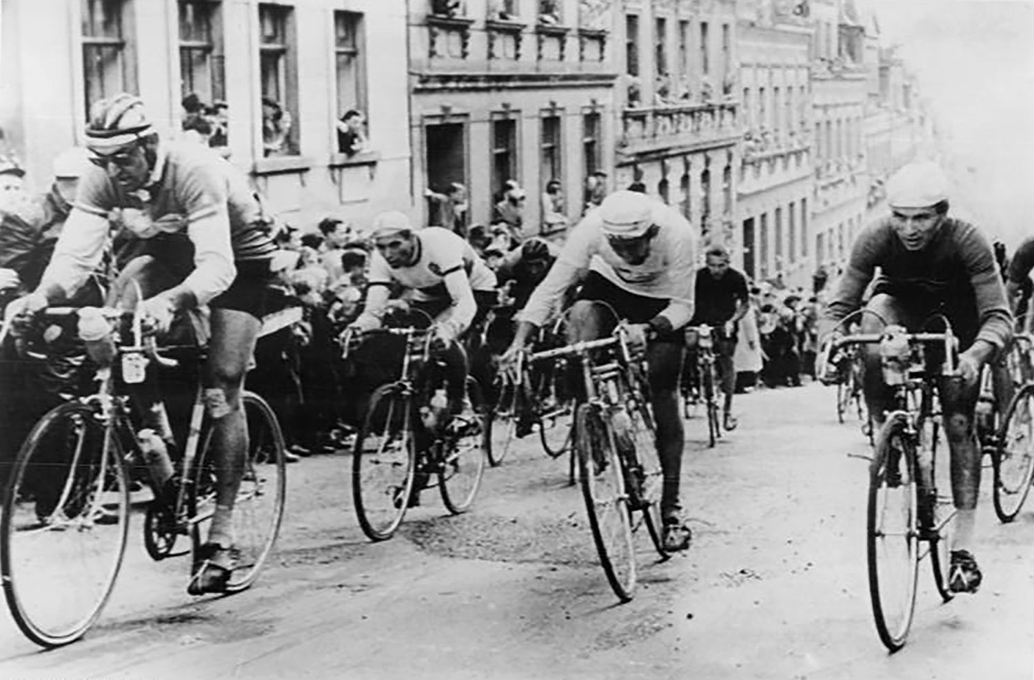
From Berlin to Prague — in the footsteps of the Peace Race part 2
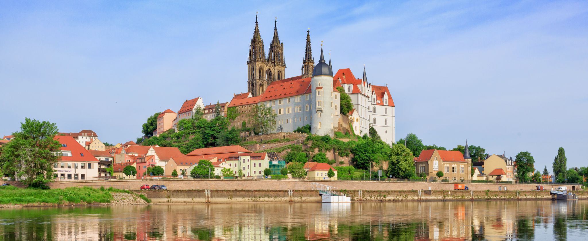
The Elbe Cycle Path — cross-border cycling pleasure
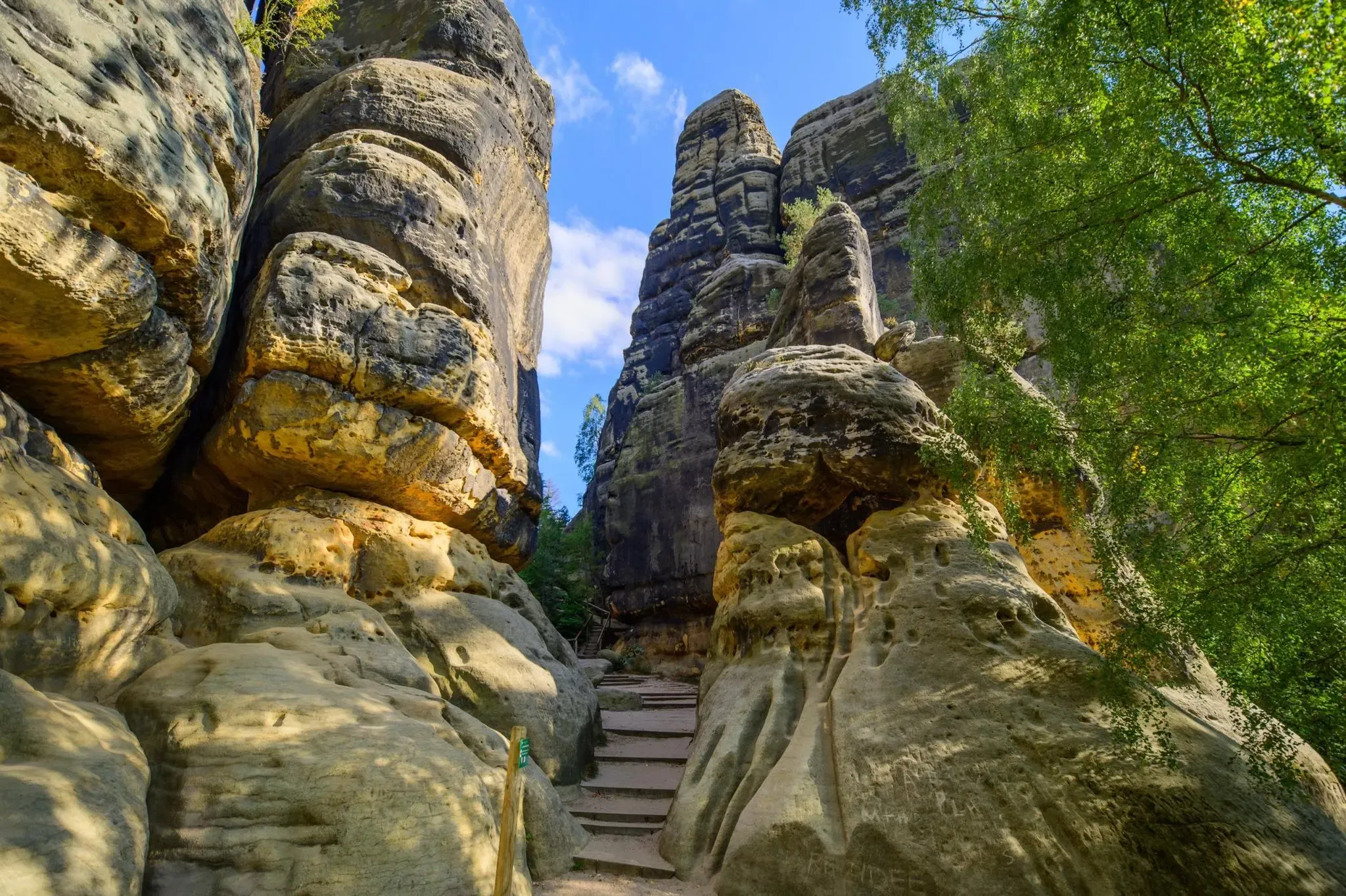
Malerweg – Trail running in Germany's dramatic Saxon Switzerland area
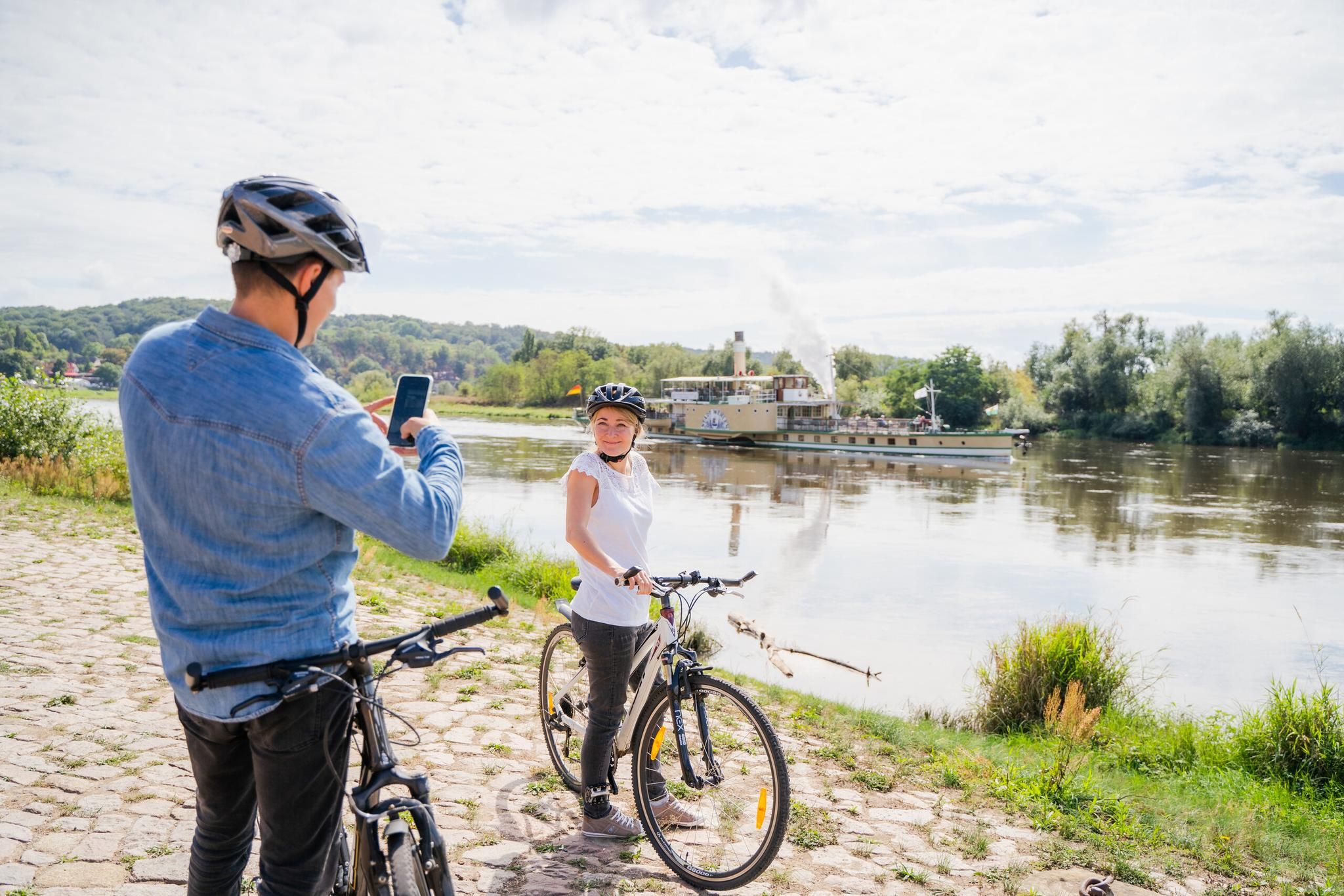
Fun on two wheels – e-bike Tours through Dresden Elbland
Other adventures around Pirna


Tips from the Community

The Malerweg also leads along here. All information about the Malerweg can be found at the following link: https://www.saechsische-schweiz.de/malerweg (As of: 22.06.2026)
0
1
The Malerweg also leads here. All information about the Malerweg can be found at the following link: https://www.saechsische-schweiz.de/malerweg (Status: 22.06.2026)
0
0
The Malerweg also leads along here. All information about the Malerweg can be found at the following link: https://www.saechsische-schweiz.de/malerweg (Status: 22.06.2026)
0
0
The Malerweg also leads along here. All information about the Malerweg can be found at the following link: https://www.saechsische-schweiz.de/malerweg (Status: 22.06.2026)
0
0
The Malerweg also leads here. All information about the Malerweg can be found at the following link: https://www.saechsische-schweiz.de/malerweg (Status: 22.06.2026)
0
0

Right at the beginning of the Malerweg, you are greeted by a steep sandstone wall.
0
0

Tower Castle, Belvedere "Schöne Höhe" (Beautiful Heights). Information: Commissioned in 1831 by the then-owner of the castle and art patron Johann Gottlob von Quandt, and completed in 1838 as the earliest site dedicated to Goethe. It is significant from an architectural, local, and personal historical perspective. Restored 1999-2001. Schöne Höhe is a 327.9 m (2,200 ft) high hill located between the districts of Dittersbach and Elbersdorf in the municipality of Dürrröhrsdorf-Dittersbach.
1
0

Over the centuries, much has changed and been built, including a castle, a church with a cemetery, and much more. Cotta had a favorable starting position for development, as it was located directly on the postal road, which, however, also meant increased dangers during wartime. Predecessor buildings on the site of the Großcotta church existed as early as the 14th century. At the end of the 15th century, a new building was erected, which was remodeled or extended several times in the 17th and 18th centuries. It was already a parish church in the 16th century, encompassing Kleincotta and Neundorf. Around 1620, it received its squat-looking church tower, and since 1746, it has been equipped with a sundial. In 1813, during the Wars of Liberation, Grand Duke Konstantin of Russia stayed in the church. At that time, members of the Russian army also plundered the interior. The nave with its wooden ceiling was rebuilt in 1830. Another renovation took place in 1880. The chancel still has late Gothic rib vaults inside. In earliest times, there was a cemetery in the churchyard. As early as 1590, it was moved to the northern slope of the Spitzberg due to lack of space and expanded again in 1887.
0
1
Frequently Asked Questions
How many bus station hiking trails are available around Pirna?
There are over 240 hiking trails accessible from bus stations around Pirna, offering a wide range of options for all skill levels. This includes 154 easy routes, 84 moderate routes, and a few more challenging trails.
What kind of landscapes can I expect on bus-accessible hikes near Pirna?
Hikes from Pirna's bus stations lead you into the dramatic landscapes of the Elbe Sandstone Mountains, often called the 'gateway to Saxon Switzerland National Park'. You'll encounter distinctive sandstone rock formations, the meandering Elbe River, impressive table mountains, and deep gorges like the Uttewalder Grund and Teufelsgrund.
Are there any easy, family-friendly hikes accessible by bus from Pirna?
Yes, many routes are suitable for families. An easy option is the Liebethaler Grund – Lochmühl Bridge loop from Liebethal, which is about 5.5 km long and features gentle elevation changes, perfect for a relaxed outing with children.
Can I find circular hiking routes starting from bus stations in Pirna?
Absolutely. Many of the trails are designed as circular routes, allowing you to start and end at the same bus stop. For example, the Zimmerling Winery – View of the Weinbergkirche loop from Oberpoyritz offers a moderate 9.6 km circular hike with scenic views.
What are some notable viewpoints or landmarks I can reach on these hikes?
The region is rich in stunning viewpoints and historical landmarks. You can explore highlights like the Neurathen rock castle, the majestic Königstein Fortress, or enjoy the View of Pillnitz Palace. Many routes also offer glimpses of the famous Bastei Bridge and the Elbe valley.
Are there any hikes that pass by interesting natural features like caves or gorges?
Yes, several trails lead through fascinating natural formations. You could discover the Gautsch Grotto or hike through the dramatic Teufelsschlüchte (Devil's Gorges). These features add an adventurous element to your hike.
What do other hikers say about the trails around Pirna?
The hiking trails around Pirna are highly rated by the komoot community, with an average score of 4.6 stars from over 17,000 ratings. Reviewers often praise the diverse landscapes, the well-maintained paths, and the accessibility of many routes via public transport.
Are there longer, more challenging bus-accessible routes for experienced hikers?
While most routes are easy to moderate, there are longer options for those seeking more challenge. For instance, the Pirna Town Bridge – Zimmerling Winery loop from Oberpoyritz is a moderate 17.1 km hike that provides a good workout with varied scenery.
When is the best time of year to go hiking from Pirna's bus stations?
The best times for hiking in the Pirna region are spring and autumn. During these seasons, temperatures are pleasant, and the landscapes are particularly beautiful, adorned with blooming plants or vibrant fall foliage. Winter can also offer unique, serene experiences, though some paths might be icy.
Are there any hikes that offer views of vineyards or wine-related experiences?
Yes, Pirna is the starting point for the Saxon Wine Hiking Trail. While specific bus-accessible routes directly on this trail are not detailed here, you can find routes like the View of the Weinbergkirche – Meix Mill loop from Graupa that offer views of vineyards and the charming Elbe landscape, providing a taste of the region's wine culture.
Where can I find more information about the Saxon Switzerland National Park?
For more comprehensive information about the Saxon Switzerland National Park and the broader region, you can visit the official tourism website: visitsaxony.com.
Most popular routes around Pirna
Most popular attractions around Pirna

Get inspired with the komoot mobile app


Explore more
Browse the best Hikes in other regions.
