The best hikes from bus stations around Neuhaus am Rennweg
4.6
(11470)
36,922
hikers
126
hikes
Bus station hiking trails around Neuhaus am Rennweg provide access to the Thuringian Forest, a region defined by dense woodlands, gentle hills, and diverse natural features. Situated at an altitude of 700 meters, Neuhaus am Rennweg offers views of the surrounding mountains and valleys. The area features the Scheibe-Alsbach and Leibis-Lichte reservoirs, providing varied landscapes for exploration.
Best bus station hiking trails around Neuhaus am Rennweg
- The most popular bus station hiking route is Schwarza Spring – Scheibe-Alsbach Reservoir loop from Steinheid, a 5.1 miles (8.3 km) moderate trail that takes 2 hours 26 minutes to complete. This loop route explores the forested landscape and offers views of the Scheibe-Alsbach Reservoir.
- Another top favourite among local hikers is Scheibe-Alsbach Reservoir – Schwarza Spring loop from Neuhaus am Rennweg, an easy 3.9 miles (6.3 km) path. This route provides a shorter loop around the reservoir and through the surrounding forest.
- Local hikers also love the Blessberg Observation Tower – Three-current brick loop from Siegmundsburg, a 6.5 miles (10.5 km) trail leading through forested terrain to the Blessberg Observation Tower, often completed in about 2 hours 55 minutes.
- Hiking around Neuhaus am Rennweg is defined by dense forests, gentle hills, and reservoirs. The network offers options for various ability levels, from easy walks to more challenging routes.
- The routes in Neuhaus am Rennweg are highly rated by the komoot community with an average score of 4.6 stars from over 10,000 reviews. More than 35,000 hikers have used komoot to explore Neuhaus am Rennweg's varied terrain.
Last updated: September 30, 2026
4.8
(112)
350
hikers
8.30km
02:26
210m
210m
Moderate hike. Good fitness required. Mostly accessible paths. Sure-footedness required.
4.8
(142)
505
hikers
20.8km
05:36
240m
240m
Hard hike. Very good fitness required. Mostly accessible paths. Sure-footedness required.

4.7
(52)
142
hikers
6.32km
01:44
100m
100m
Easy hike. Great for any fitness level. Easily-accessible paths. Suitable for all skill levels.
4.5
(29)
102
hikers
6.28km
01:44
110m
110m
Easy hike. Great for any fitness level. Easily-accessible paths. Suitable for all skill levels.
4.7
(9)
30
hikers
21.0km
06:01
470m
470m
Hard hike. Very good fitness required. Mostly accessible paths. Sure-footedness required.
Get access to more routes and recommendations from other explorers.
Already have an account?
Our route recommendations are based on thousands of hikes, rides, and runs completed by other people on komoot.
Start today with a free account
Your next adventure awaits.
Popular around Neuhaus am Rennweg
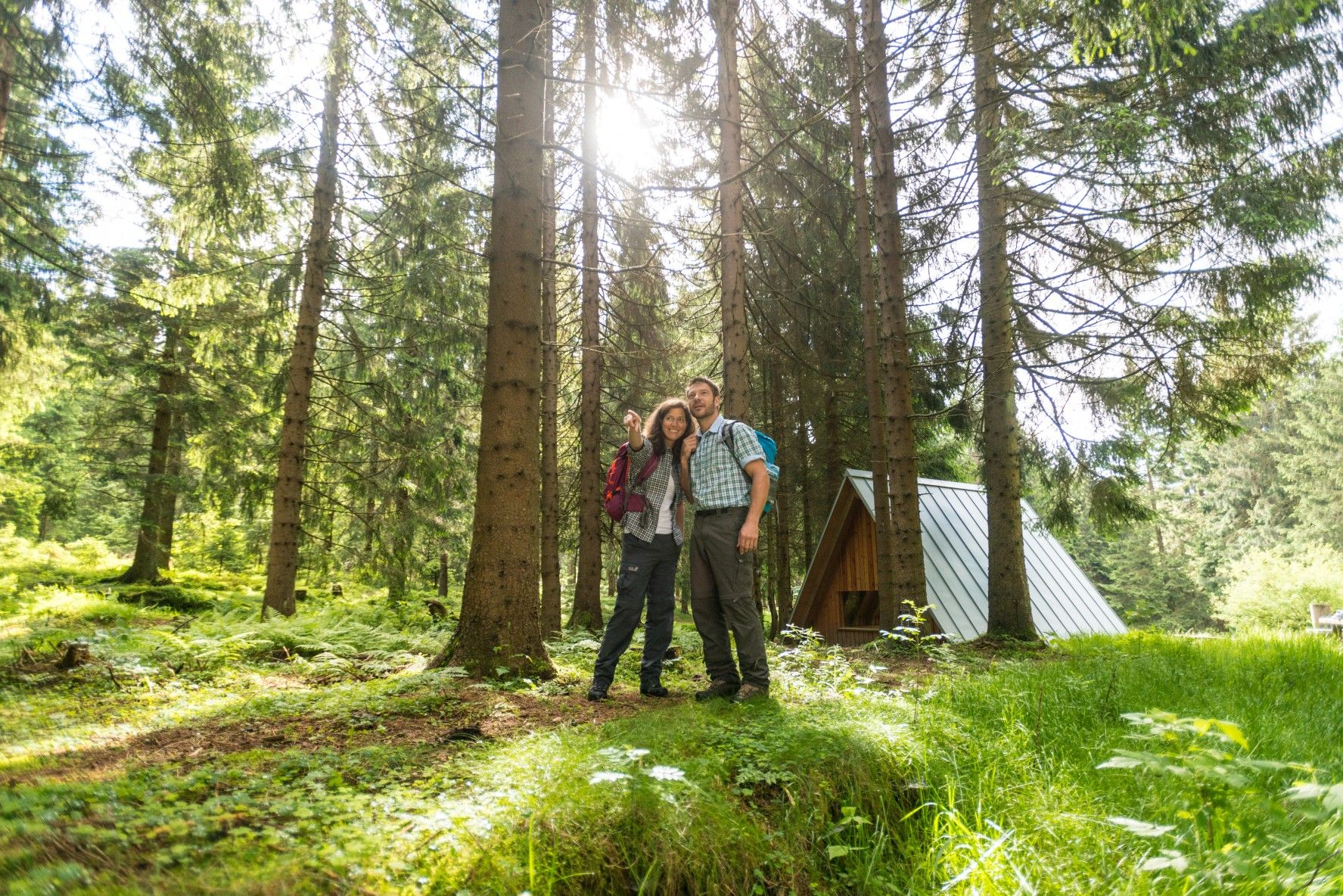
The Rennsteig — Thuringia's most beautiful hiking route
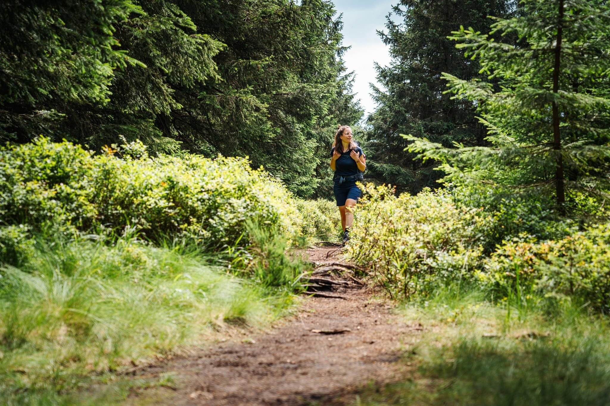
The Thuringian Forest calls – long-distance hiking on the Rennsteig

Long distance hiking trails in the Thuringian Forest
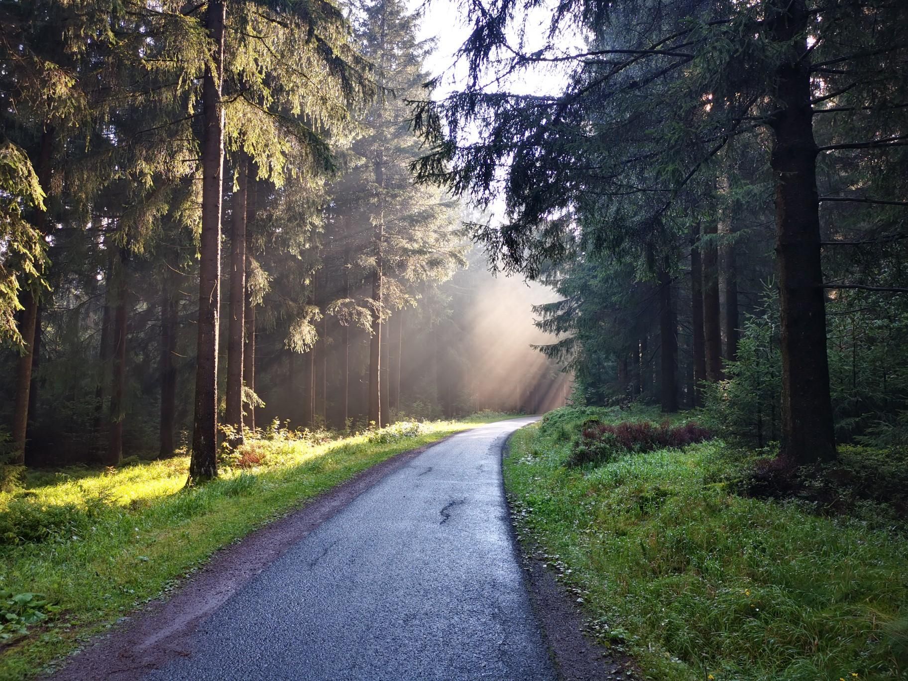
Nuremberg to Erfurt – Discover the German countryside by bike
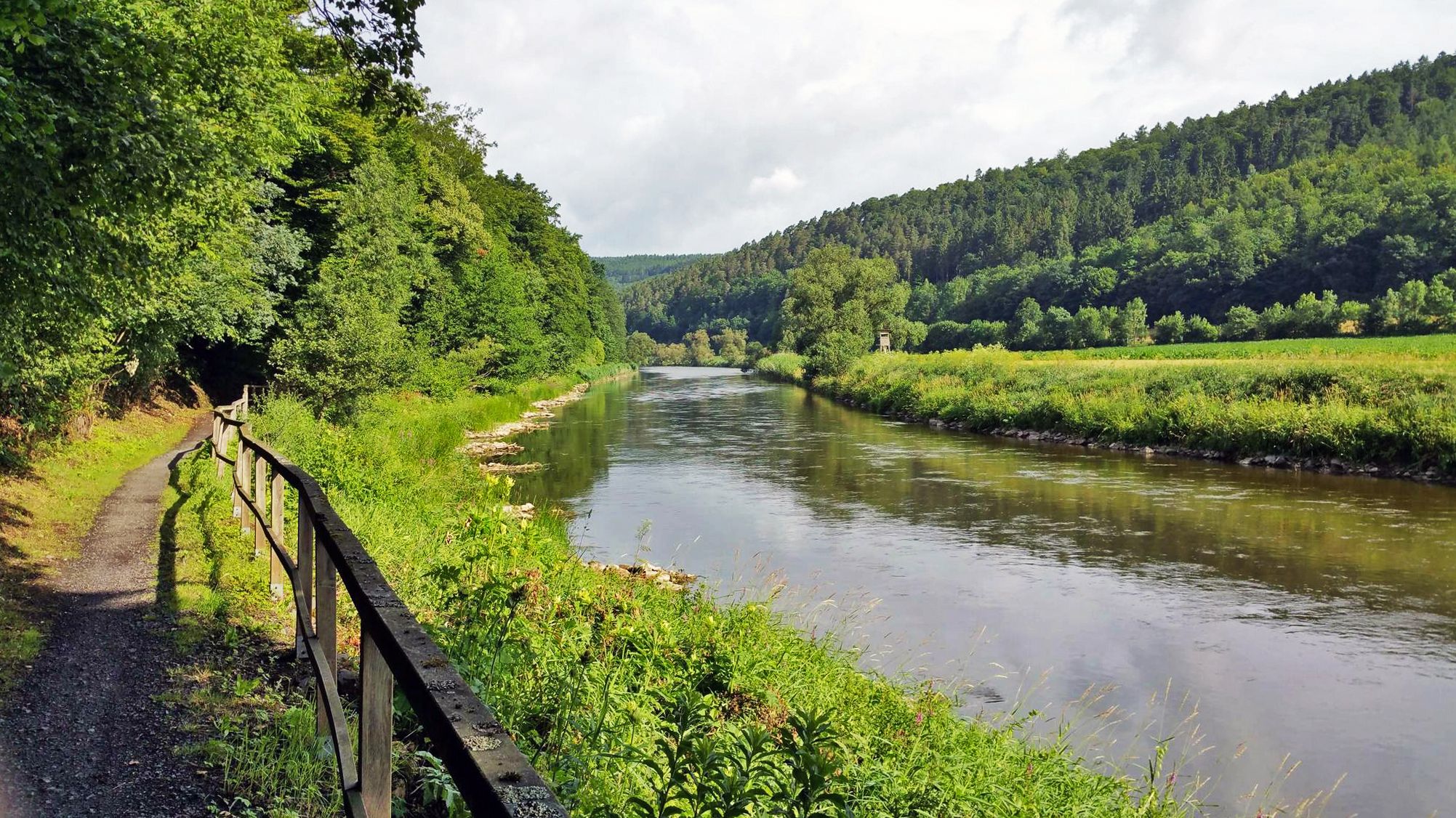
Werratal cycle path — 6 stages along the Werra to the Fulda
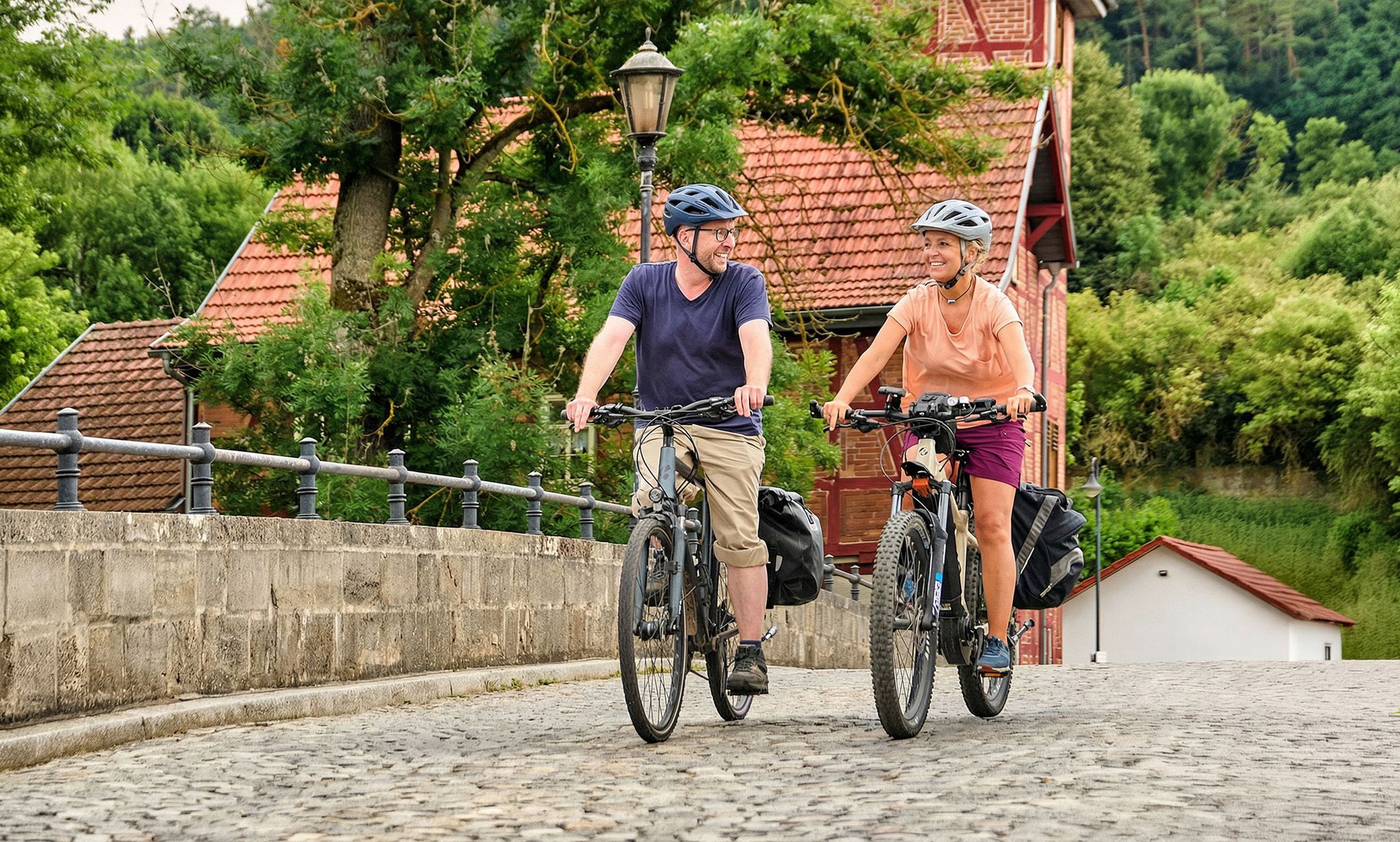
Leisure cycling and touring in Thuringia
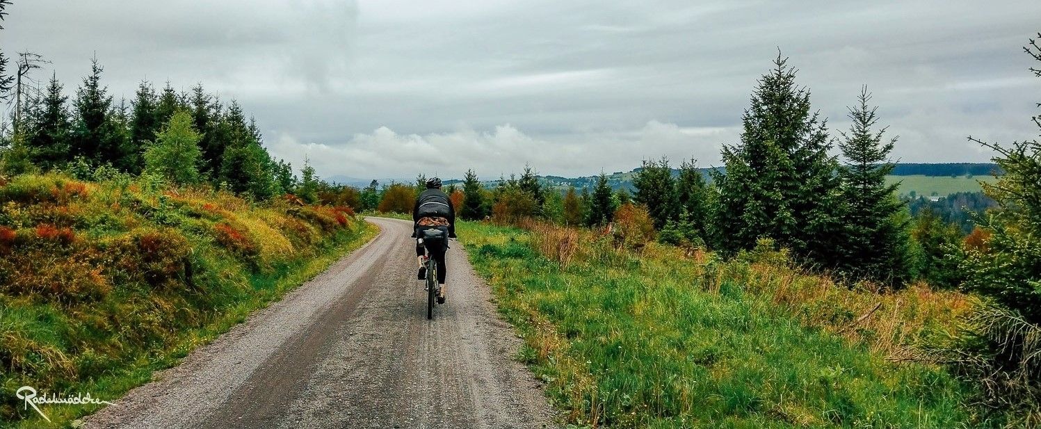
Ride the Rennsteig Cycle Path on your gravel bike – Thuringian Highlands
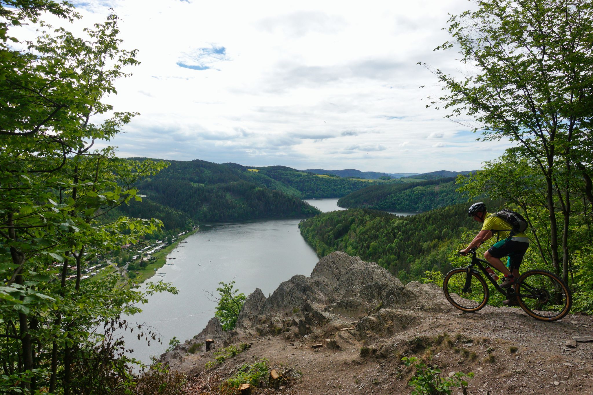
Fantastic panoramas and fast trails – Feen-Bike-Paradies Saalfeld MTB centre
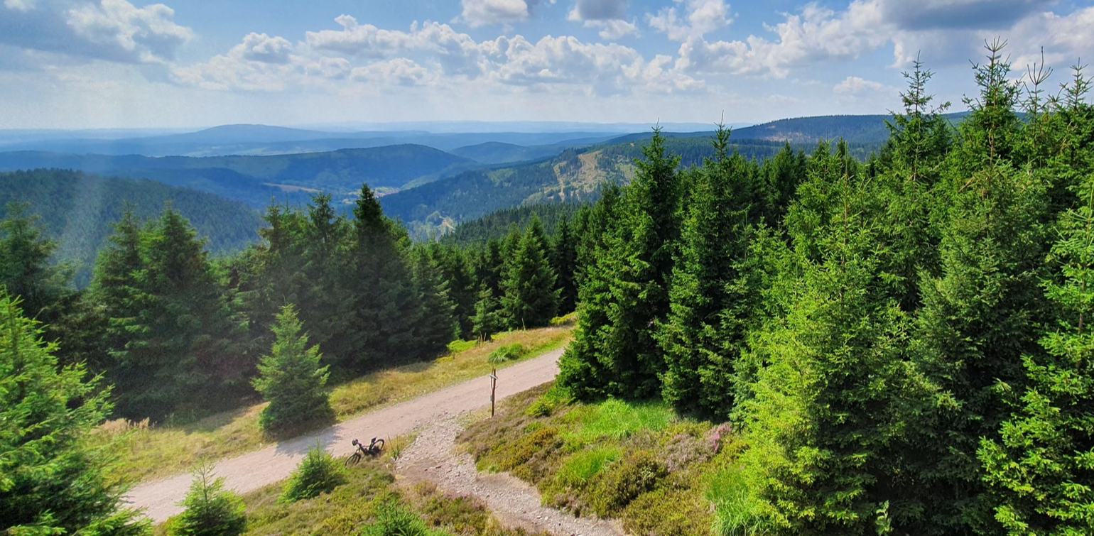
MTB through the middle of Germany — three days on the Rennsteig
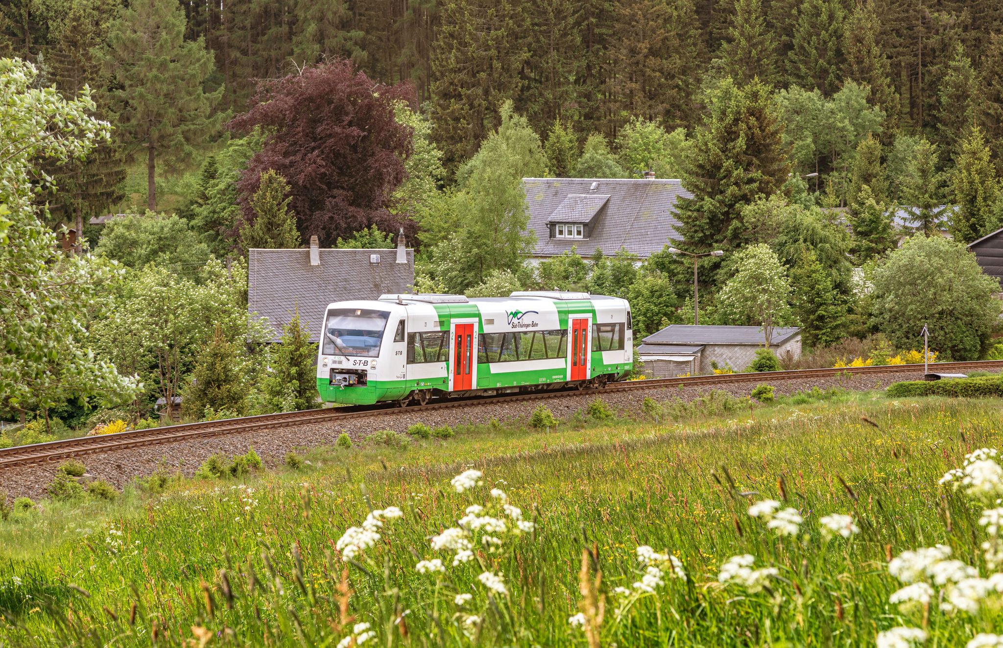
Vom Gleis zum Gipfel – Wandern mit der Süd•Thüringen•Bahn
Other adventures around Neuhaus am Rennweg


Tips from the Community

The memorial stone with the inscription "Frei ist der Kammweg" (The ridge path is free) is located directly on the Rennsteig (the historic ridge path) on the Sandberg near Neuhaus am Rennweg. It lies at an altitude of 834 meters and commemorates the historical significance of the path as well as the overcoming of German division, as the Rennsteig was a political border path with over 1,300 boundary stones for centuries.
4
0
Along the Rennsteig, thousands of historical boundary stones marked the political borders for centuries. This specimen is a boundary stone of the former Duchy of Saxe-Meiningen (marked as HSM or SM).
1
0
Viewpoint Noranke-Blick with panoramic view of the Scheibe-Alsbach drinking water reservoir,
4
0
The Sandberg is an 834-meter-high mountain in the Thuringian Slate Mountains. On the Sandberg, there are remains of a former sandstone quarry. Sandstone is a geological exception in this region, which is characterized by slate. This occurrence favored the establishment of local glassworks in the 16th and 17th centuries.
4
0


A lovely spot to relax and have a picnic. Fresh water is also available for refreshment.
0
0

Around the fountain there are numerous seating options for a rest with a larger hiking group.
0
0

The panoramic trail leads past the weather station 😉👍
0
1
Frequently Asked Questions
How many bus station hiking trails are available around Neuhaus am Rennweg?
There are over 130 hiking trails accessible from bus stations around Neuhaus am Rennweg, offering a wide range of options for all skill levels. You'll find everything from easy strolls to more challenging day hikes.
What kind of terrain can I expect on bus-accessible hikes in the Neuhaus am Rennweg area?
The bus-accessible hikes around Neuhaus am Rennweg primarily traverse the Thuringian Forest, characterized by lush forests, gentle hills, and scenic valleys. As the town is situated at 700 meters above sea level, many routes offer picturesque views. Expect well-maintained paths, with some moderate ascents and descents.
Are there any easy, family-friendly hikes accessible by bus?
Yes, several routes are suitable for families. For an easy and scenic option, consider the Scheibe-Alsbach Reservoir – Schwarza Spring loop from Neuhaus am Rennweg. This 6.3 km route is relatively flat and offers pleasant views of the reservoir. The region also features the 'Weidmannsheil' circular hike, known for being family-friendly and leading past the Scheibe-Alsbach drinking water reservoir.
Can I find circular hiking routes that start and end at a bus station?
Absolutely. Many of the trails are designed as circular routes, allowing you to start and finish at the same bus stop. An example is the Schwarza Spring – Scheibe-Alsbach Reservoir loop from Steinheid, which is a moderate 8.27 km loop. Another option is the Blessberg Observation Tower – Three-current brick loop from Siegmundsburg, a moderate 10.5 km route.
What natural features or landmarks can I see on these bus-accessible trails?
The trails offer access to diverse natural beauty. You can explore the Thuringian Forest, enjoy views of the Scheibe-Alsbach Drinking Water Reservoir, and discover the untouched nature of the Schwarzatal Valley. Highlights include the Werra Spring Fehrenbach and the Three-current brick. The Bleßberg mountain, with its observation tower, is also accessible via a challenging circular hike.
Are there any longer or more challenging bus-accessible hikes for experienced hikers?
Yes, for those seeking a greater challenge, the Werra Spring Fehrenbach – Werra Spring Hut loop from Siegmundsburg is a difficult 20.8 km route. This trail offers a more extensive exploration of the region's natural landscapes. The Rennsteig, a famous long-distance trail, also has sections accessible from bus stops in the area.
What do other hikers enjoy most about hiking from bus stations in Neuhaus am Rennweg?
The area is highly rated by the komoot community, with an average score of 4.58 stars. Reviewers often praise the convenience of accessing diverse trails directly from public transport, the well-marked paths, and the stunning natural beauty of the Thuringian Forest, especially the views over reservoirs and valleys.
Are there any bus-accessible routes that lead to viewpoints or summits?
Yes, several routes offer rewarding views. The Blessberg Observation Tower – Three-current brick loop from Siegmundsburg takes you to the Bleßberg observation tower, providing expansive views of the surrounding area. Another route, the Stamp 158 – Sandberg Summit (834 m) loop from Steinheid, leads to the Sandberg Summit.
When is the best time of year to go hiking from bus stations in Neuhaus am Rennweg?
The Thuringian Forest is beautiful year-round. Spring brings blooming flora, summer offers lush green landscapes, and autumn transforms the forests with vibrant colors. Winter hiking is also possible, with opportunities for snow-covered trails. The well-maintained infrastructure makes hiking enjoyable across seasons, though checking local weather and trail conditions is always recommended.
Are there any amenities like huts or resting points along the bus-accessible trails?
Yes, the region's hiking infrastructure is generally well-maintained. Many trails feature amenities such as hiking huts, like the 'Weidmannsheil' hut, which provide convenient resting points. These facilities enhance the overall outdoor experience, offering places to take a break and enjoy the surroundings.
Most popular routes around Neuhaus am Rennweg
Most popular attractions around Neuhaus am Rennweg

Get inspired with the komoot mobile app


Explore more
Browse the best Hikes in other regions.
