The best hikes from bus stations around Neckarsteinach
4.6
(22479)
92,171
hikers
39
hikes
Bus station hiking trails around Neckarsteinach are situated in the Neckar Valley, where the Steinach stream meets the Neckar River. The region is characterized by the densely wooded heights of the southern Odenwald, offering extensive forest trails. The landscape features the meandering Neckar River, historic castles, and elevated viewpoints. Red sandstone formations are also present along some routes.
Best bus station hiking trails around Neckarsteinach
- The most popular bus station hiking route is Dilsberg Fortress – Neckar promenade Neckarsteinach loop…
Last updated: September 30, 2026
4.8
(796)
2,756
hikers
Moderate hike. Good fitness required. Mostly accessible paths. Sure-footedness required.
4.7
(27)
113
hikers
Moderate hike. Great for any fitness level. Mostly accessible paths. Sure-footedness required.

4.5
(21)
67
hikers
5.48km
01:45
200m
200m
Moderate hike. Great for any fitness level. Mostly accessible paths. Sure-footedness required.
4.7
(15)
51
hikers
6.47km
01:49
120m
120m
Moderate hike. Great for any fitness level. Mostly accessible paths. Sure-footedness required.
4.8
(32)
111
hikers
Moderate hike. Great for any fitness level. Mostly accessible paths. Sure-footedness required.
Get access to more routes and recommendations from other explorers.
Already have an account?
Our route recommendations are based on thousands of hikes, rides, and runs completed by other people on komoot.
Start today with a free account
Your next adventure awaits.
Popular around Neckarsteinach
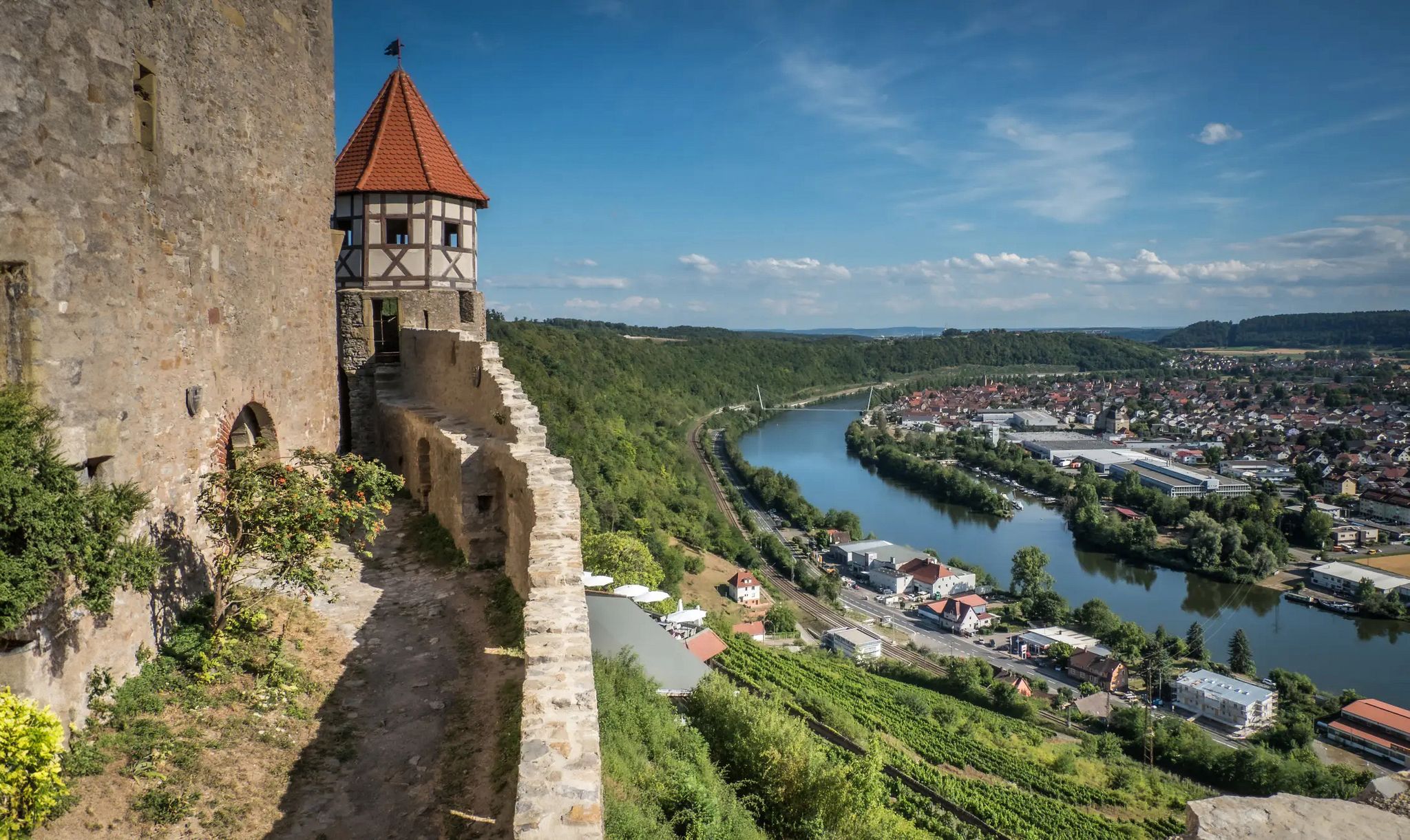
The Neckarsteig trail – 9 stages along the edge of the Odenwald

Vibrant and diverse – autumn colors in the Odenwald

Hiking breaks in the South – two-day routes in Baden-Württemberg

Ride to the most beautiful viewpoints in northern Baden-Württemberg
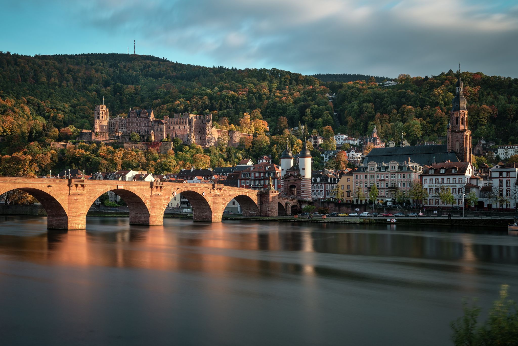
Castles, baroque architecture & gardens – discover Baden-Württemberg by bike
Other adventures around Neckarsteinach


Tips from the Community

At the lock, the Neckar can be easily crossed on foot and by bike. If you are lucky and have time, you can even watch a large ship in the lock.
9
0
The Neckar loop is definitely worth seeing. You can already see it from the lower wall. However, whoever dares to climb the keep will be rewarded with a phenomenal view of the complete Neckar loop.
7
0

A rustic woodland shelter near the Hinterburg ruins offering shade and rest. A handy stop before or after the short climb up to the castle.
0
0

Perfect view of the Neckar loop
0
0

Interesting to see how ships can overcome the difference in altitude
4
0
Incredible views from here, especially on a clear day!
0
0

Also known as the Castle Trail…
0
0
View of Dilsberg Fortress
1
0
Frequently Asked Questions
How many bus station accessible hiking trails are there around Neckarsteinach?
There are over 40 bus station accessible hiking trails around Neckarsteinach, offering a wide range of options for exploring the Neckar Valley and the Odenwald. Most of these routes are rated as easy or moderate, making them suitable for various fitness levels.
What kind of landscapes can I expect on bus accessible hikes in Neckarsteinach?
Hikes starting from Neckarsteinach's bus stations will lead you through diverse landscapes. You'll experience the densely wooded heights of the Odenwald, picturesque riverside paths along the Neckar, and trails offering expansive views over the valley, often featuring the region's distinctive red sandstone formations.
Are there any circular routes accessible by bus in Neckarsteinach?
Yes, many of the bus accessible routes around Neckarsteinach are circular, allowing you to start and end your hike conveniently at the same bus stop. For example, the Dilsberg Fortress – Neckar promenade Neckarsteinach loop is a popular moderate circular hike.
Can I visit any castles or historical sites on these bus accessible trails?
Absolutely! Neckarsteinach is known as the 'Four-Castle Town.' Many trails offer views of or direct access to these historic sites. For instance, the Schadeck Castle (Swallow's Nest) – Mittelburg Castle loop is a shorter route that takes you past two of the famous castles.
Are there family-friendly hiking options from Neckarsteinach's bus stops?
Yes, with 27 easy routes available, there are plenty of family-friendly options. These trails often feature gentle gradients and offer opportunities to explore the natural beauty and historical sites without being overly strenuous. Look for shorter, well-maintained paths along the Neckar or through the less steep parts of the Odenwald.
What are some notable viewpoints accessible from bus station hikes?
The region is rich in viewpoints. Many trails lead to elevated spots offering panoramic vistas of the Neckar Valley and its castles. The Dilsberg Fortress, for example, provides magnificent views and is featured in routes like the Dilsberg Fortress – Neckarsteinach Lock and Weir loop.
What do other hikers say about the bus accessible trails in Neckarsteinach?
The bus accessible trails in Neckarsteinach are highly regarded by the komoot community, with an average rating of 4.6 out of 5 stars from over 19,000 reviews. Hikers frequently praise the well-marked paths, the stunning views of the Neckar and its castles, and the convenience of public transport access.
Are there any natural attractions or points of interest along these routes?
Beyond the castles, you can discover various natural points of interest. Some trails might lead you near bodies of water like Heron Lake or through scenic areas such as the Eiterbach Valley, offering diverse natural experiences.
What is the best season for hiking from Neckarsteinach bus stations?
Neckarsteinach is beautiful year-round. Spring brings blooming flora to the Odenwald, summer offers shaded forest trails, and autumn transforms the landscape with vibrant colors. Even in winter, the region can be charming, though some trails might be slippery. Always check local weather conditions before heading out.
Are there any shelters or rest stops along the bus accessible trails?
Yes, some routes include shelters or places to rest. For example, the Hinterburg Shelter – Mittelburg Castle loop specifically mentions a shelter, providing a convenient spot for a break during your hike.
Can I find food and drink options near the bus stops or along the trails?
Neckarsteinach town center, where many bus routes converge, offers various cafes and restaurants. While specific food options directly on every trail are limited, you'll find opportunities for refreshments before or after your hike, especially in the more populated areas and near popular attractions.
Are there any challenging bus accessible hikes in Neckarsteinach?
While most routes are easy to moderate, some longer loops, such as the Dilsberg Fortress – Neckar promenade Neckarsteinach loop, offer more significant elevation changes and distance, providing a good challenge for experienced hikers. However, there are no routes classified as 'difficult' in this guide.
Most popular routes around Neckarsteinach
Most popular attractions around Neckarsteinach

Get inspired with the komoot mobile app


Explore more
Browse the best Hikes in other regions.
