The best hikes from bus stations around Kreuztal
4.6
(3241)
11,110
hikers
279
hikes
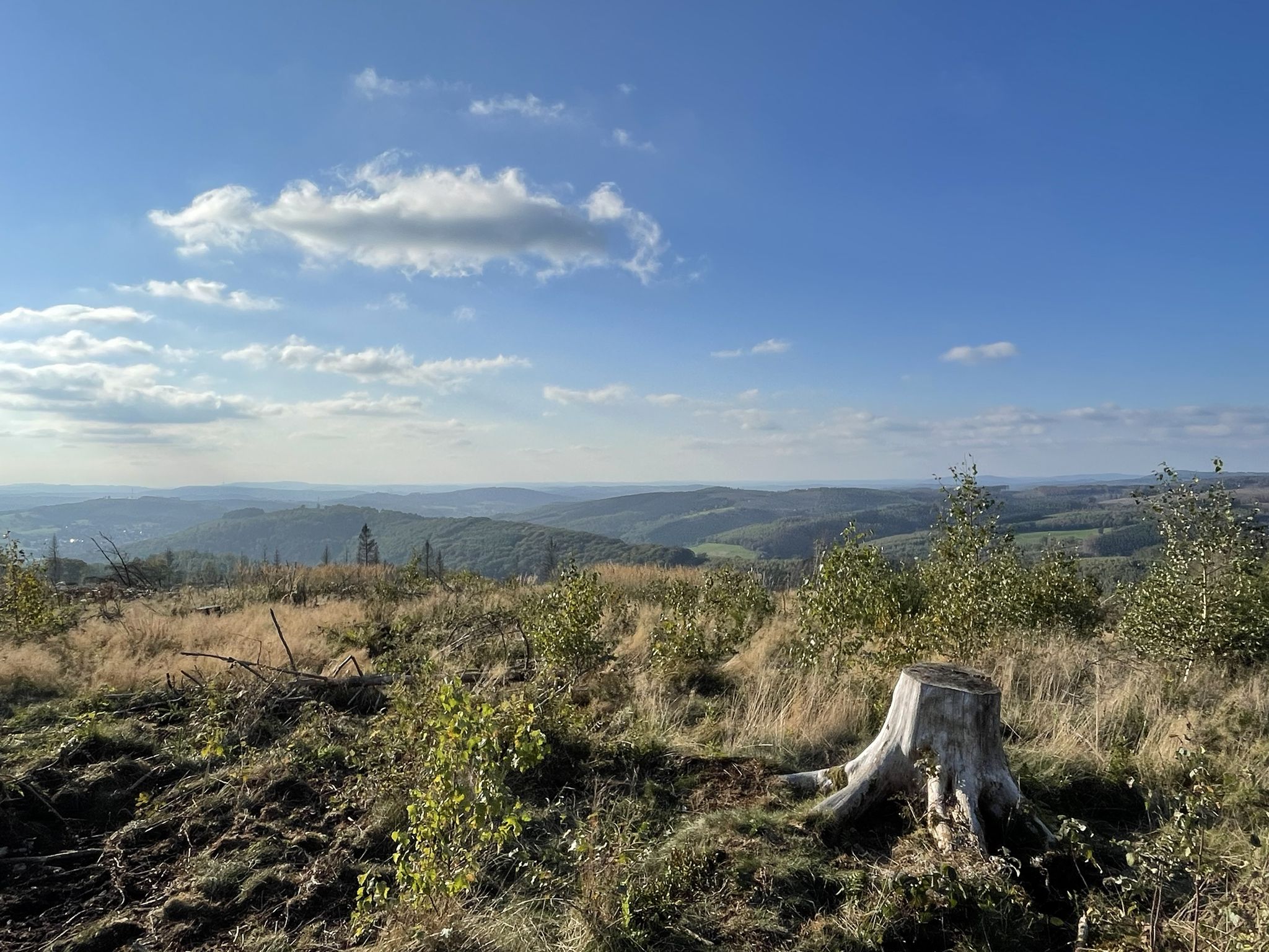
Hiking around Kreuztal offers diverse terrain within the Siegen-Wittgenstein district of North Rhine-Westphalia, Germany. The region features rolling hills, extensive forests, and idyllic valleys, characteristic of the Rothaar Mountains. Prominent natural features include the Kindelsberg mountain, which rises to 618.5 meters above sea level, and various stream valleys. This landscape provides a network of trails accessible for different hiking abilities.
Best bus station hiking trails around Kreuztal
- The most popular bus station hiking route is Owl Carved Wooden Bench –…
Last updated: May 14, 2026
4.8
(240)
678
hikers
12.4km
03:30
260m
260m
Moderate hike. Good fitness required. Easily-accessible paths. Suitable for all skill levels.
4.8
(232)
658
hikers
9.01km
02:28
140m
140m
Moderate hike. Good fitness required. Easily-accessible paths. Suitable for all skill levels.

Sign up for free
4.2
(46)
141
hikers
6.64km
01:47
80m
80m
Easy hike. Great for any fitness level. Easily-accessible paths. Suitable for all skill levels.
4.2
(46)
141
hikers
6.97km
01:52
80m
80m
Easy hike. Great for any fitness level. Easily-accessible paths. Suitable for all skill levels.
4.9
(26)
90
hikers
6.92km
01:53
100m
100m
Easy hike. Great for any fitness level. Easily-accessible paths. Suitable for all skill levels.
Get access to more routes and recommendations from other explorers.
Sign up for free
Already have an account?
Our route recommendations are based on thousands of hikes, rides, and runs completed by other people on komoot.
Start today with a free account
Your next adventure awaits.
Login or Signup
Popular around Kreuztal
Other adventures around Kreuztal

Tips from the Community

An artistic wooden bench with carved horse heads and a wonderful view over the fields of Osthelden.
0
0


In this gnome workshop, there are some figures nicely scattered around the forest. Nice to see.
1
0


Nice bench in the shade with a beautiful view of the Heestal.
1
0

Beautiful views of the Heestal and far beyond!
0
0

And again great pictures. Looks like I'm on vacation and that's how I felt today. Thanks for the takeaway, Angelika. Was a very nice day 😀👍
1
0
Frequently Asked Questions
How many hiking trails are accessible by bus in Kreuztal?
There are nearly 280 hiking trails around Kreuztal that are easily accessible via bus stations. This extensive network offers a wide variety of options for all skill levels.
What types of terrain can I expect on bus-accessible hikes in Kreuztal?
The region around Kreuztal, nestled in the Rothaar Mountains, features diverse terrain. You'll encounter picturesque forests, rolling hills, and idyllic valleys. Trails range from gentle paths along babbling brooks to more challenging routes with significant elevation changes, offering panoramic views.
Are there easy, family-friendly hikes accessible by bus in Kreuztal?
Yes, Kreuztal offers many easy and family-friendly routes. For example, the View of Hees Valley – Wooden Gnome Sculpture loop from Wiehbruch is an easy 6.6 km hike. The region also features trails like the 'WaldAbenteuer' Children's Adventure Trail, designed for playful exploration, though specific bus access to this one would require checking local schedules.
Can I find circular hiking routes near Kreuztal bus stations?
Many of the trails accessible by bus in Kreuztal are circular routes, perfect for returning to your starting point without retracing your steps. An example is the Owl Carved Wooden Bench – Horse Head Carved Bench loop from Eichen, a moderate 12.4 km circular hike.
What are some notable landmarks or viewpoints I can see on these hikes?
Many routes offer stunning views and pass by interesting landmarks. You might encounter the Kindelsberg Tower, which provides impressive panoramic views of the Siegen-Wittgenstein district. Other highlights include the Obernau Reservoir and the Waldenburg Castle Ruins. The Rothaar Mountains also offer breathtaking vistas along trails like the Rothaarsteig.
Are there any trails with water features like lakes or waterfalls?
Yes, the Kreuztal area features several beautiful water bodies. You can find routes that pass by the Obernau Reservoir or the tranquil Gambach Pond. The Buchental Valley Walk is also known for its waterfalls and streams, offering a refreshing experience.
What is the best time of year for hiking near Kreuztal bus stations?
Hiking in Kreuztal is particularly enjoyable during spring, when wildflowers bloom and the forests awaken, and in autumn, when the foliage transforms into a vibrant display of colors. The diverse landscapes make it appealing throughout these seasons.
Are dogs allowed on hiking trails accessible by bus in Kreuztal?
Generally, dogs are welcome on most hiking trails in the Kreuztal region. However, it's always advisable to keep them on a leash, especially in nature reserves or areas with wildlife, and to respect local regulations. Always carry water for your dog and clean up after them.
What is the difficulty level of the bus-accessible hikes in Kreuztal?
The trails around Kreuztal cater to all fitness levels. Out of nearly 280 routes, 195 are rated as easy, 82 as moderate, and only 2 as difficult. This means you can easily find a route that matches your experience and desired challenge, from gentle strolls to more demanding ascents.
What do other hikers say about the trails in Kreuztal?
The hiking trails in Kreuztal are highly regarded by the komoot community, with an average rating of 4.5 out of 5 stars from over 3,100 reviews. Hikers often praise the well-maintained paths, the diverse natural beauty, and the stunning panoramic views, especially from spots like the Kindelsberg.
Are there any long-distance hiking trails accessible from Kreuztal bus stations?
Yes, Kreuztal is located within the Rothaar Mountains, and an access route to the renowned Rothaarsteig long-distance trail is available from Kreuztal's Kulturbahnhof. This allows you to experience sections of this 154-kilometer trail, known for its breathtaking vistas and varied landscapes.
Can I find routes that pass by historical sites or cultural points of interest?
Beyond natural beauty, some routes may lead you past historical sites. For instance, the Kindelsberg itself features remnants of a ring wall fortification. You might also find routes near the Wendener Hütte — Ironworks and Museum, offering a glimpse into the region's industrial past.
Most popular routes around Kreuztal
Most popular attractions around Kreuztal

Get inspired with the komoot mobile app


Explore more
Browse the best Hikes in other regions.
