The best hikes from bus stations around Lorch
4.7
(5040)
18,427
hikers
76
hikes
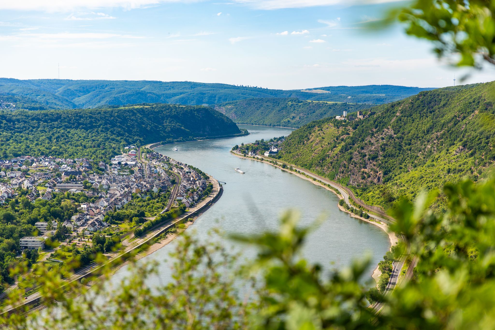
Bus station hiking trails around Lorch are characterized by the town's unique geographical location at the confluence of the Wisper and Rhine rivers, set against the backdrop of the Taunus Mountains. The region features dramatic river valleys, steep terraced vineyards, and dense forests, offering diverse terrain for hikers. Trails often navigate through rolling hills and provide expansive views of the Rhine Valley, with rocky outcrops and serene natural areas. This landscape provides a variety of hiking experiences, from riverside paths to forest climbs.
Best bus station hiking trails around Lorch
- The most popular bus station hiking route is Lorch Loop – Riesling Loops, a 4.4 miles (7.1 km) moderate trail that takes 2 hours 8 minutes to complete, winding through the region's renowned vineyards.
- Another top favourite among local hikers is Forest Trail in the Taunus – Dinosaur Rock loop from Espenschied, a moderate 9.0 miles (14.4 km) path. This route explores the forested Taunus hills, featuring varied woodland scenery.
- Local hikers also love the Scenic view of Lorch and the Rhine – Lorch Historic Town Center loop from Niederheimbach, a 5.8 miles (9.3 km) trail leading through historic areas and offering panoramic views of the Rhine, often completed in about 2 hours 50 minutes.
- Hiking around Lorch is defined by river valleys, terraced vineyards, and dense forests of the Taunus. The network offers options for easy strolls, moderate climbs, and more challenging routes.
- The routes in Lorch are highly rated by the komoot community with an average score of 4.7 stars from over 5,000 reviews. More than 19,000 hikers have used komoot to explore Lorch's varied terrain.
Last updated: June 26, 2026
4.5
(73)
247
hikers
7.05km
02:08
230m
230m
Moderate hike. Good fitness required. Mostly accessible paths. Sure-footedness required.
4.8
(409)
1,701
hikers
14.5km
04:24
470m
470m
Moderate hike. Good fitness required. Easily-accessible paths. Suitable for all skill levels.

Sign up for free
4.8
(338)
1,244
hikers
9.35km
02:50
320m
320m
Moderate hike. Good fitness required. Easily-accessible paths. Suitable for all skill levels.
4.7
(141)
541
hikers
5.26km
01:30
120m
120m
Easy hike. Great for any fitness level. Easily-accessible paths. Suitable for all skill levels.
4.6
(73)
298
hikers
8.27km
02:21
180m
190m
Moderate hike. Good fitness required. Easily-accessible paths. Suitable for all skill levels.
Get access to more routes and recommendations from other explorers.
Sign up for free
Already have an account?
Our route recommendations are based on thousands of hikes, rides, and runs completed by other people on komoot.
Start today with a free account
Your next adventure awaits.
Login or Signup
Popular around Lorch
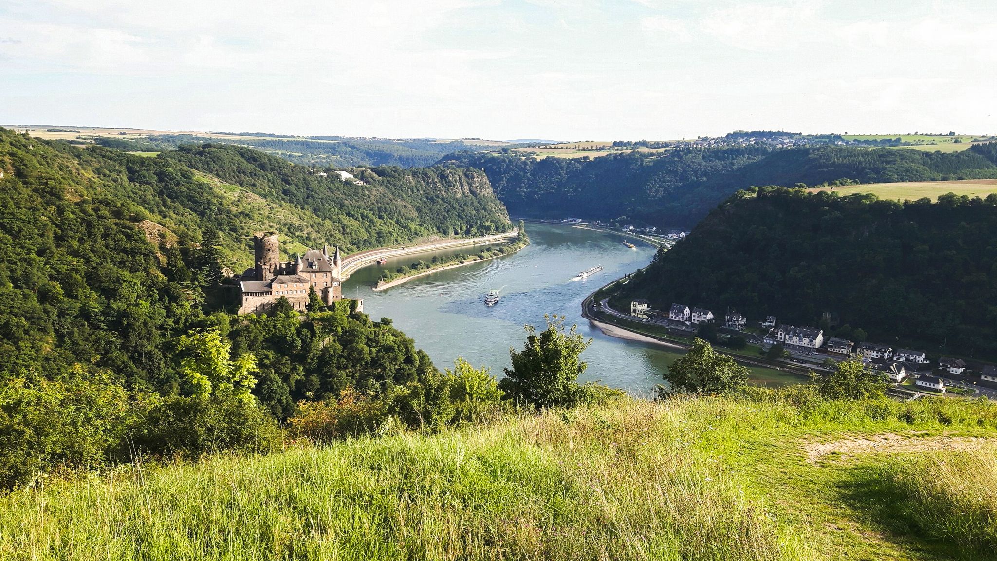
Rheinsteig Trail – The 21 stages along the Rhine
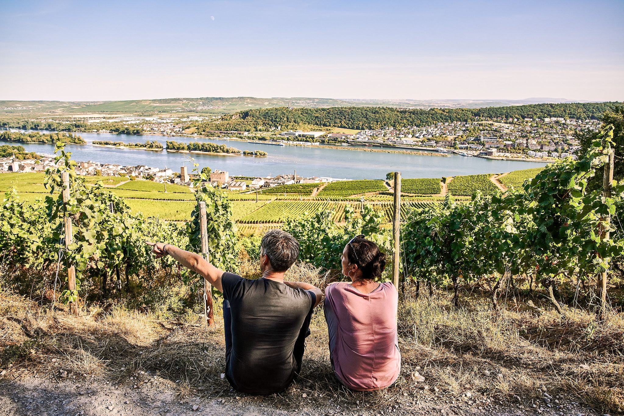
Riesling Loops – 14 routes rich in wine and history
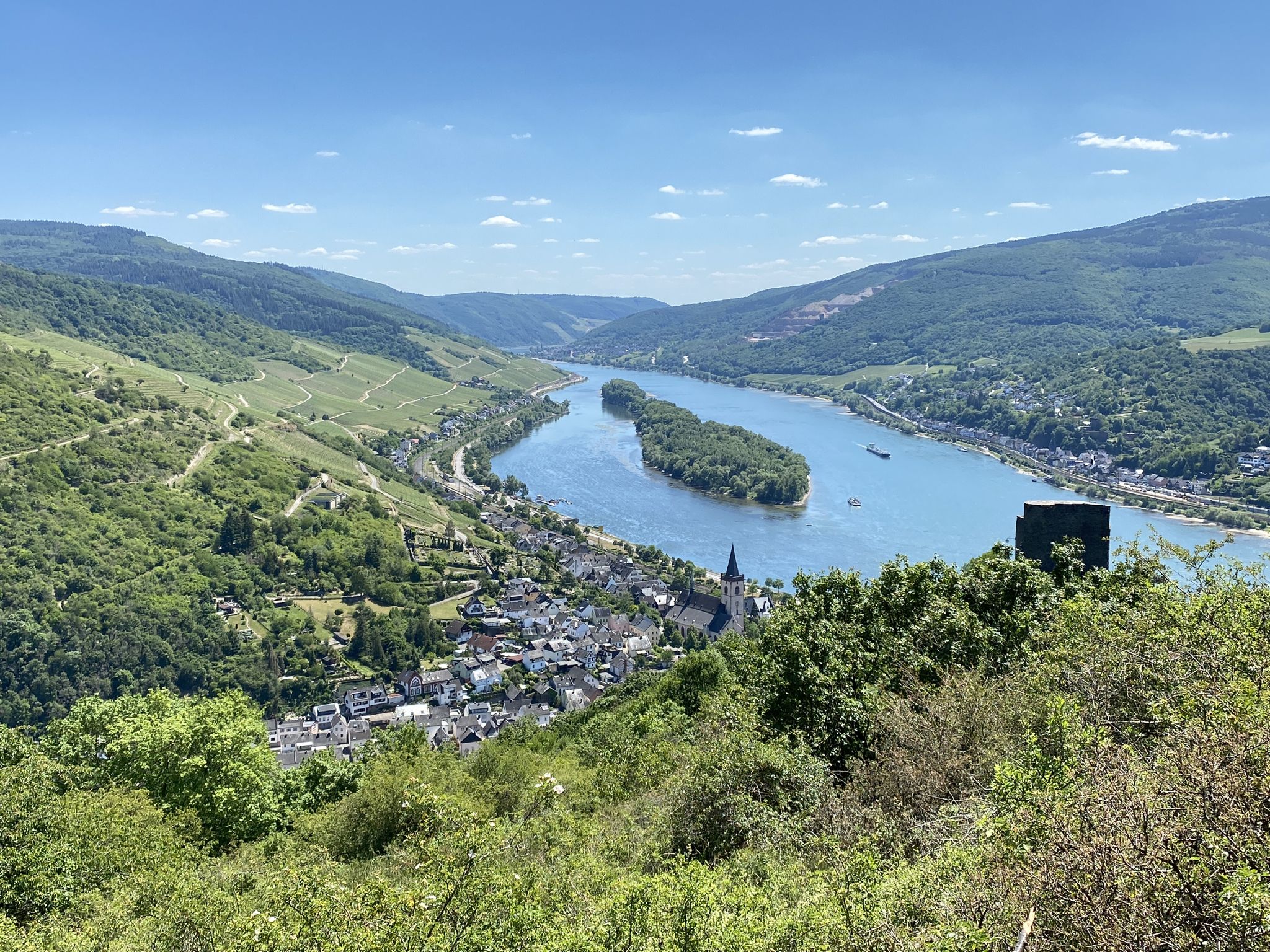
The Taunus to the Rheingau wine region – Wispertaunussteig

Lowest to Highest (L2H) in Germany
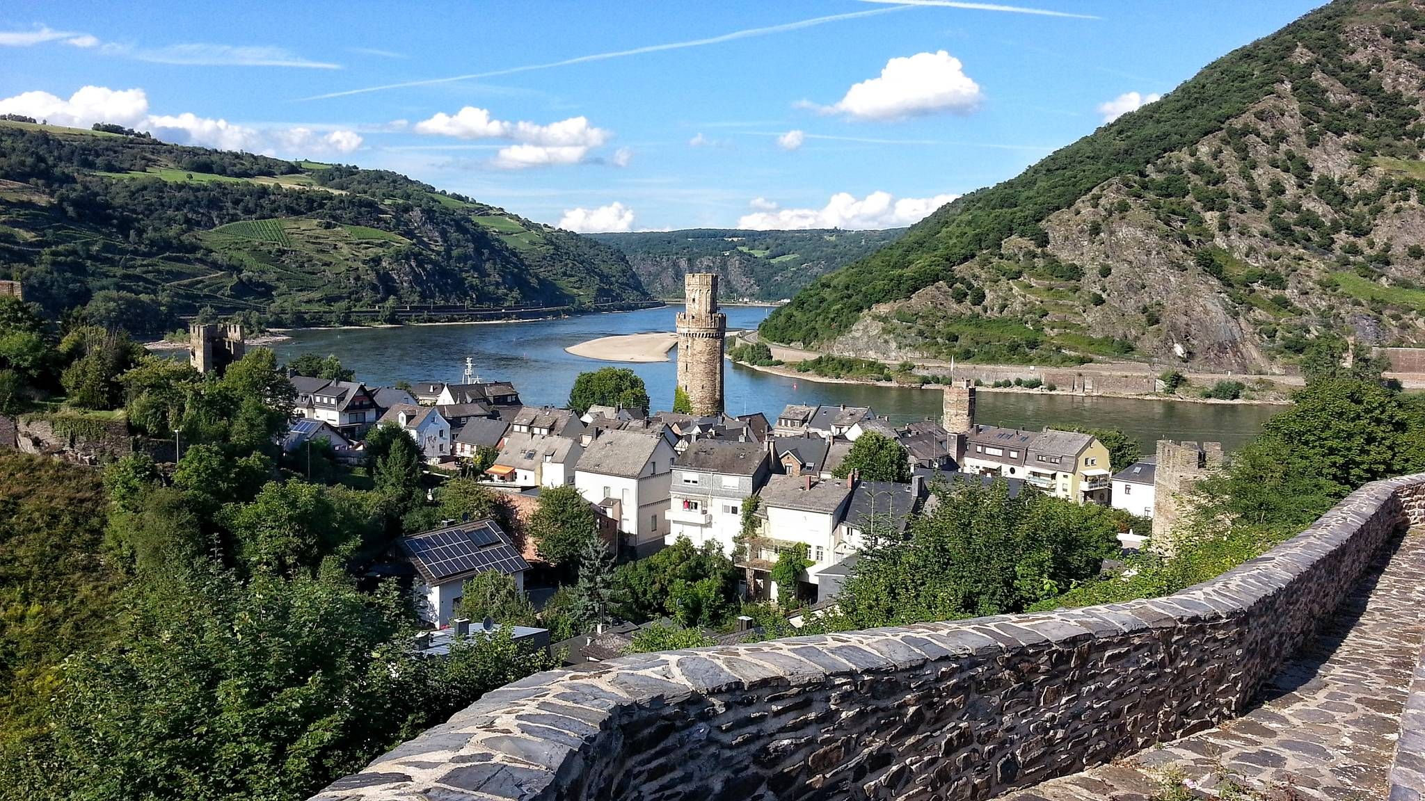
The enchanting Rhine – Day hikes in the Upper Middle Rhine Valley
Bergauf und bergab entlang des Rheins – Abenteuer Rheinsteig
Other adventures around Lorch


Tips from the Community

Unfortunately, only one side of the boundary stone has survived. The Mainz wheel and the year 1697 are clearly visible. The other side should show the Nassau Lion, but it is unfortunately completely weathered.
0
0
From the height above Wollmerschied, the view sweeps into the valley of the Werkerbach
0
0

beautiful resting place with a view of Lorch
0
0

Although this area is still officially part of the Weisel district, it is practically part of Lipporn and Wollmerschied. In 1697 and 1698, a well-documented boundary demarcation took place here between the bailiwick of Schönau, or Nassau-Weilburg (Northwest), and the Electorate of Mainz (Churmainz). This stone dates from this period and bears not only the Wheel of Mainz on one side and the Nassau Lion on the other, but also the year 1697. It is made of red sandstone. Source: "The Weisel Boundary Stone Book - Old Boundaries in the Weisel District" by the Weisel History Research Group, published by the municipality of Weisel (listed there as stone N5.1) https://www.weiseler-geschichte.de/veroeffentlichungen-bottom/9-das-weiseler-grenzsteinbuch
1
0

Remains of a Reich Labor Service camp.
0
0
Remains of a Reich Labor Service camp.
0
0

Hopefully, the RAD won't be reinvented again: RAD Camp 5/257, "Gottfried Keller" Detachment, was located in the Wisper Valley between Lorch and Bad Schwalbach. The Reich Labor Service (RAD) was an organization in the Nazi German Reich. The law for the Reich Labor Service, enacted on June 26, 1935, stated: "All young Germans of both sexes are obligated to serve their people in the Reich Labor Service. The Führer and Reich Chancellor determines the number of conscripts to be called up annually and sets the length of service. Initially, young men were called up for labor service for six months (before their military service). From the beginning of the Second World War, the Reich Labor Service was extended to include young women.
2
0
The bench rotates 360°, so you're always guaranteed a view of the sun.
2
0
Frequently Asked Questions
How many bus station hiking trails are available around Lorch?
There are over 70 hiking trails around Lorch that are accessible from bus stations, offering a wide range of options for different preferences and fitness levels.
What kind of landscapes can I expect on bus-accessible hikes near Lorch?
Hikes accessible by bus from Lorch often lead through diverse landscapes, including dramatic river valleys, steep terraced vineyards, and the deep forests of the Wispertal Valley and Taunus hills. You can expect panoramic views of the Rhine and Wisper rivers, as well as serene forest paths.
Are there any easy or family-friendly bus station hikes in Lorch?
Yes, there are many easy and family-friendly options. For example, the Rocky outcrop in the Taunus – Wispertal Crown loop from Espenschied is an easy route that offers a pleasant experience for all. Many trails are suitable for various fitness levels, including those with children.
Can I bring my dog on these bus-accessible hiking trails?
Lorch's natural environment is generally very welcoming for dogs. Most trails, especially those through forests and vineyards, are suitable for well-behaved dogs on a leash. Always ensure you carry water for your pet and respect local wildlife.
Are there circular hiking routes that start and end at a bus station in Lorch?
Yes, many of the bus-accessible routes around Lorch are circular, allowing you to start and finish your hike conveniently at the same bus stop. An example is the Lorch Loop – Riesling Loops, which showcases the region's famous vineyards.
What historical or natural attractions can I see on hikes accessible by bus from Lorch?
Many bus-accessible hikes offer views of historical sites and natural monuments. You might encounter the Rossel Ruins, enjoy a View of Burg Reichenstein, or see the Niederwald monument. The region is also known for its dramatic rocky outcrops and the serene Niederwaldsee.
When is the best time of year to go hiking from Lorch's bus stations?
The best time to hike around Lorch is generally from late spring to early autumn (May to October). During this period, the weather is mild, and nature is vibrant. Spring brings blossoming fruit trees, while autumn transforms the vineyards into a spectacular tapestry of warm colors.
What do other hikers say about the bus station trails around Lorch?
The bus station trails around Lorch are highly rated by the komoot community, with an average score of 4.7 stars. Hikers often praise the stunning views of the Rhine Valley, the well-maintained paths through vineyards and forests, and the convenience of public transport access.
Are there any bus-accessible hikes that offer scenic viewpoints?
Absolutely. Many trails provide breathtaking panoramic views. For instance, the Scenic view of Lorch and the Rhine – Lorch Historic Town Center loop from Niederheimbach offers excellent vistas. You can also find viewpoints like the View of the Loreley Rock and the Monopteros Temple with View of the Rhine.
Can I find refreshments or cafes along bus-accessible hiking routes near Lorch?
Yes, several bus-accessible routes pass through or near small villages and towns where you can find cafes, restaurants, or local wineries offering tastings. It's always a good idea to check opening hours in advance, especially in smaller communities.
Are there any longer, more challenging bus-accessible hikes for experienced hikers?
For experienced hikers, there are more challenging options available. The region offers routes with significant elevation changes, such as sections of the Rheinsteig, which passes through Lorch. The Forest Trail in the Taunus – Dinosaur Rock loop from Espenschied is a moderate, longer route that provides a good challenge.
Most popular routes around Lorch
Most popular attractions around Lorch

Get inspired with the komoot mobile app


Explore more
Browse the best Hikes in other regions.
