The best hikes from bus stations around Homburg
4.6
(2882)
11,201
hikers
252
hikes
Bus station hiking trails around Homburg traverse a varied landscape characterized by dense forests, rolling hills, and distinctive Buntsandstein rock formations. The region is part of the Bliesgau Biosphere Reserve, offering diverse natural environments including wooded floodplains and picturesque valleys. Hikers can explore trails that wind through ancient trees and past historical sites.
Best bus station hiking trails around Homburg
- The most popular bus station hiking route is Pfänderbachtal Runde, a 5.5 miles (8.8 km) trail that takes 2…
Last updated: July 10, 2026
4.7
(34)
108
hikers
8.85km
02:26
150m
150m
Moderate hike. Good fitness required. Easily-accessible paths. Suitable for all skill levels.
4.8
(204)
850
hikers
4.17km
01:05
20m
20m
Easy hike. Great for any fitness level. Easily-accessible paths. Suitable for all skill levels.

Sign up for free
4.7
(74)
290
hikers
4.86km
01:15
30m
30m
Easy hike. Great for any fitness level. Easily-accessible paths. Suitable for all skill levels.
4.7
(65)
228
hikers
7.92km
02:07
90m
90m
Moderate hike. Good fitness required. Easily-accessible paths. Suitable for all skill levels.
4.7
(64)
190
hikers
10.5km
02:48
120m
120m
Moderate hike. Good fitness required. Easily-accessible paths. Suitable for all skill levels.
Get access to more routes and recommendations from other explorers.
Sign up for free
Already have an account?
Our route recommendations are based on thousands of hikes, rides, and runs completed by other people on komoot.
Start today with a free account
Your next adventure awaits.
Login or Signup
Popular around Homburg
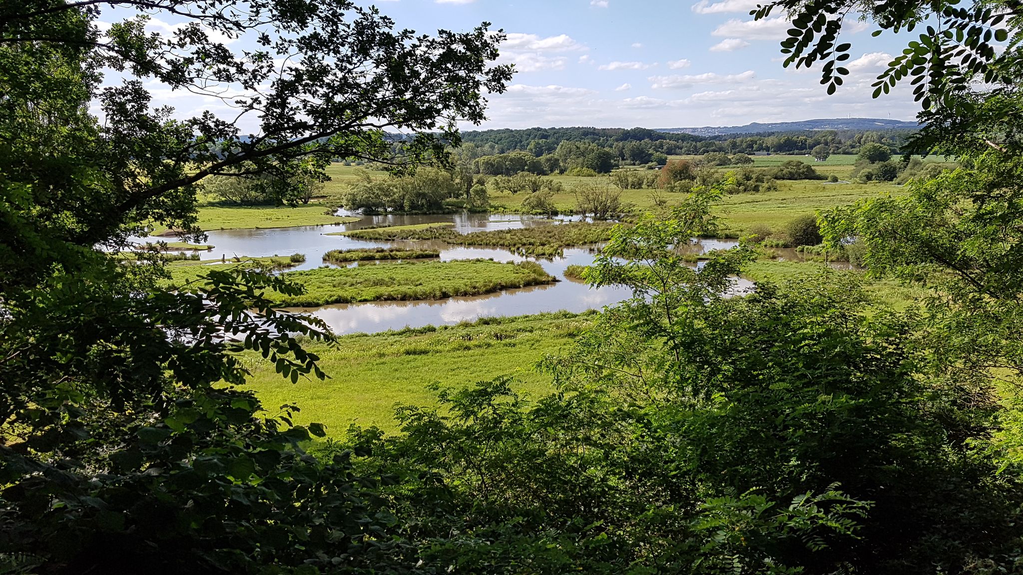
The National Natural Landscapes in Saarland
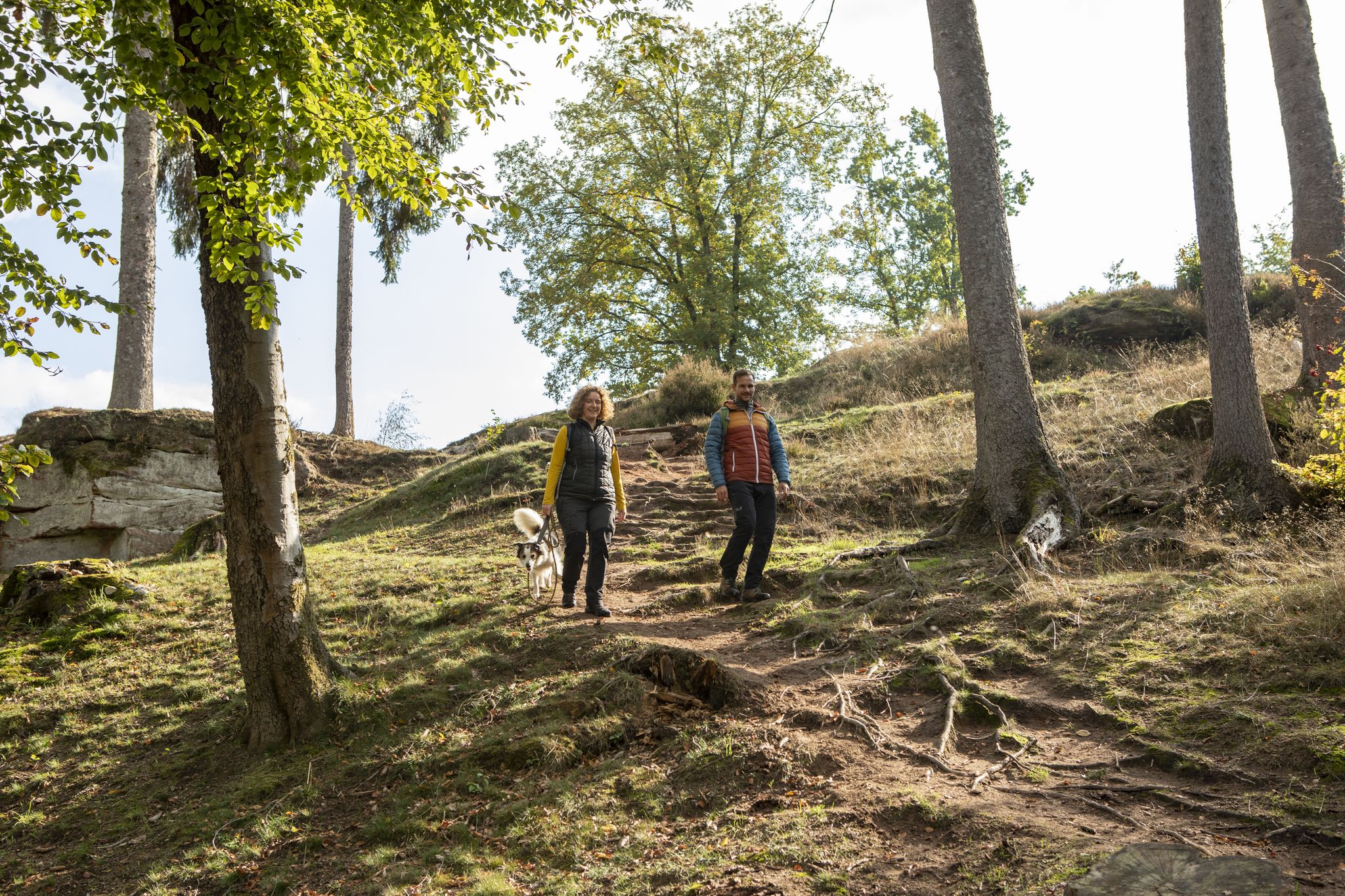
Excellent hiking in the Bliesgau Biosphere - On Premium trails

Countless trails, nature & history – hiking in Saarland
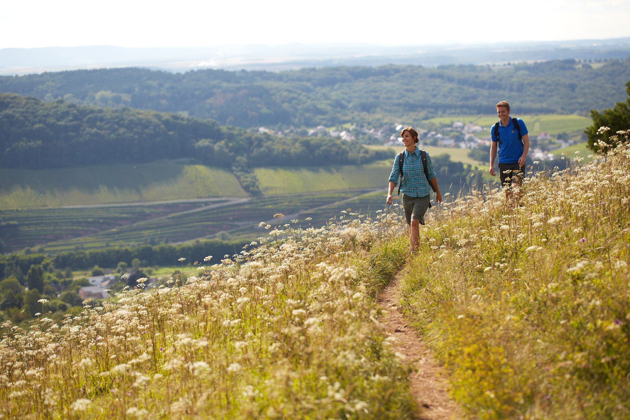
The ten most beautiful hiking trails through Saarland in Germany

Bliessteig – Duitslands mooiste langeafstandswandeling 2025
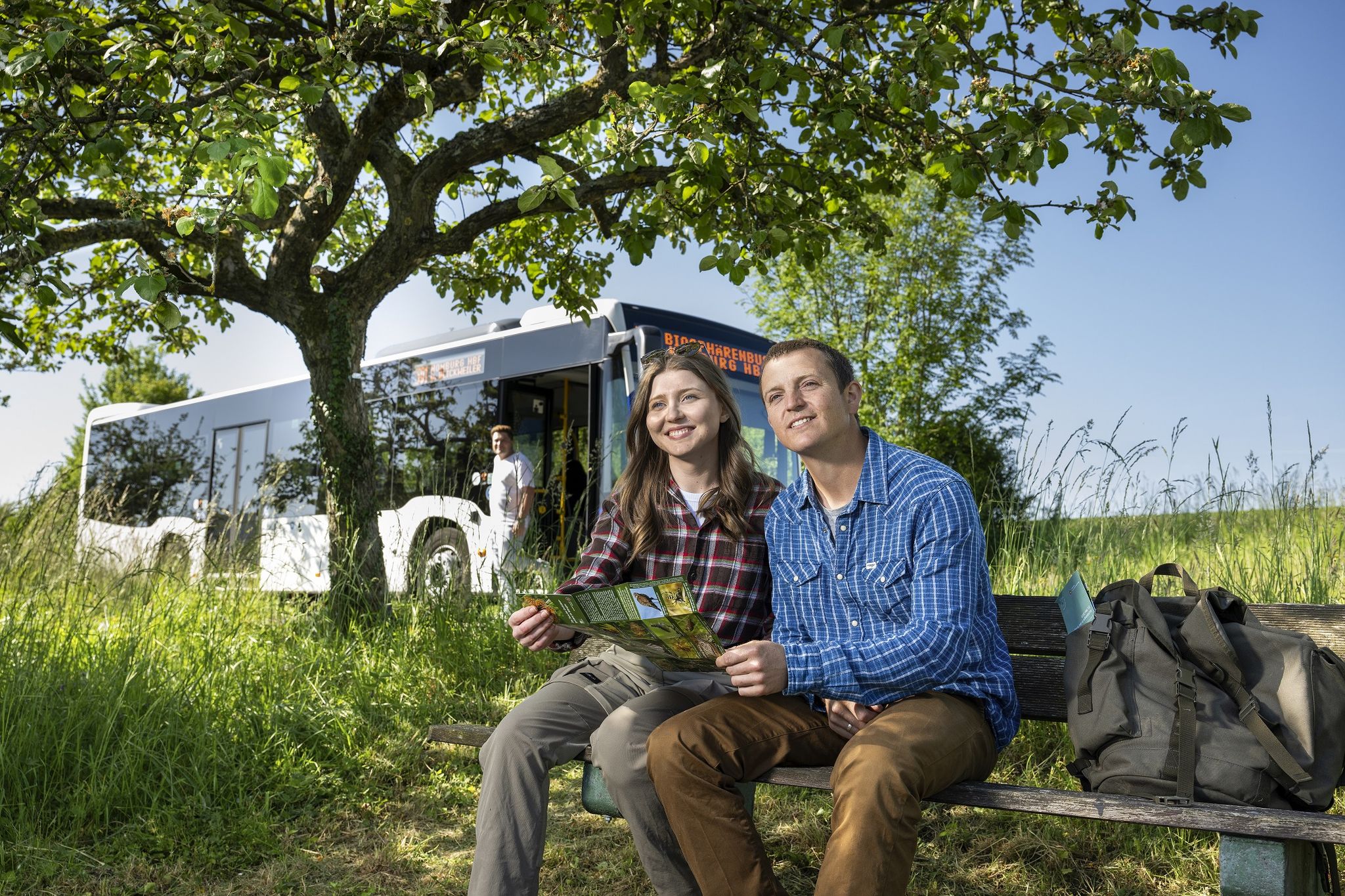
Wandern mit Bus und Bahn – Nachhaltig durch den Bliesgau
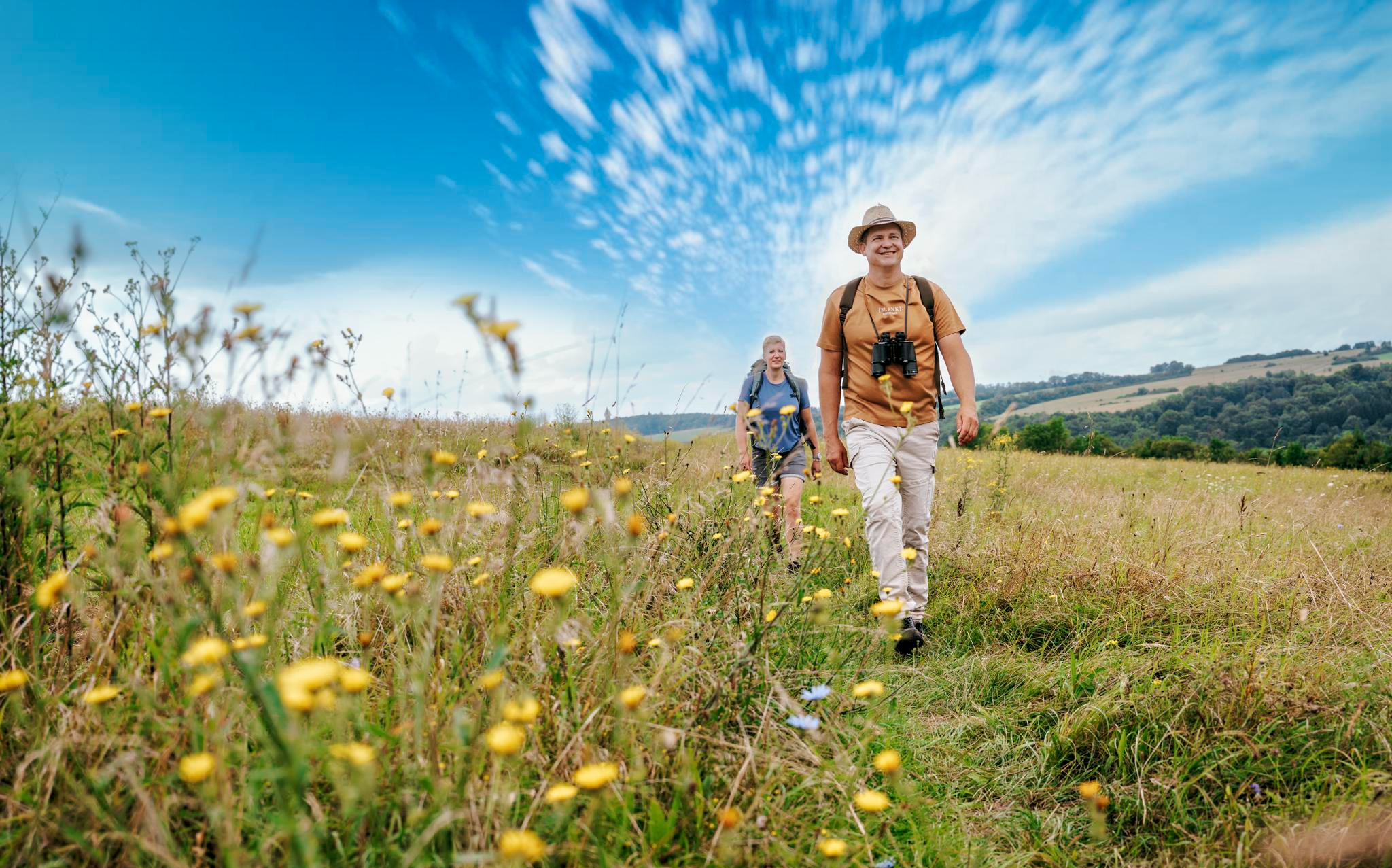
Der Bliessteig: Deutschlands schönster Wanderweg 2025
Other adventures around Homburg


Tips from the Community

This is the Little Red Riding Hood Trail.
1
0

The hut is open on Wednesdays from 4:00 PM and every 1st/3rd Sunday from 11:00 AM.
0
0

Just enjoy this old beautiful and rare tree
0
0


The whole pond complex is worth a tour👍
2
0

Frequently Asked Questions
How many bus station hiking trails are available around Homburg?
There are over 200 hiking routes around Homburg that are easily accessible by bus. This includes a wide range of trails, from easy strolls to more challenging excursions, ensuring options for every fitness level.
Are there any easy, family-friendly hikes accessible by bus in Homburg?
Yes, Homburg offers many easy, family-friendly options. For a relaxed walk, consider the Log cabin at Brückweiher – Bridge Pond loop from Waldmohr, which is just over 4 km long. Another great choice is the Bridge Pond – View over the Möhlwoog loop from Waldmohr, offering pleasant views over the water.
What kind of natural features can I expect to see on bus-accessible hikes in Homburg?
Homburg's bus-accessible trails often lead through diverse landscapes. You can explore dense forests, rolling hills, and picturesque valleys, particularly within the Bliesgau Biosphere Reserve. Look out for distinctive Buntsandstein rock formations and serene bodies of water like the Jägersburger Weiher.
Are there any circular routes starting from bus stations in Homburg?
Absolutely. Many routes are designed as circular walks, allowing you to start and end at the same bus stop. An example is the moderate Pfänderbachtal Runde, which takes you through the idyllic Pfänderbach Valley, a core zone of the Bliesgau Biosphere Reserve.
What historical sites or landmarks can I visit on hikes near Homburg bus stations?
Homburg's trails often combine nature with history. You can hike to the Schlossberg Summit, which is home to the famous Schlossberg Caves. The Vogelbänke Rock Formations – Wichtel Gorge loop from Homburg also offers a glimpse into the region's unique geology and natural beauty.
Are there any hikes with good viewpoints accessible by bus?
Yes, several trails offer rewarding views. The region's rolling hills and elevated points provide excellent panoramas. For instance, the Höchberg Tower, accessible via parts of the Bliessteig, offers extensive views over the landscape.
Can I find longer, more challenging routes accessible by bus?
While many routes are easy to moderate, there are options for longer hikes. The Bridge Pond – Feilbach Valley loop from Waldmohr is a moderate 10.4 km route that provides a good workout through varied terrain, starting from a bus-accessible point.
What do other hikers enjoy most about bus-accessible trails in Homburg?
The komoot community highly rates the hiking experience around Homburg, with an average score of 4.6 stars. Hikers frequently praise the well-maintained paths, the peaceful forest environments, and the convenient accessibility of trailheads via public transport.
Are there places to eat or rest along the bus station hiking trails?
Many routes pass by or near traditional huts and restaurants. For example, the Log cabin at Brückweiher and the Fisherman's Hut at Kirrberg Pond are popular spots for a break and refreshments, often integrated into hiking loops.
What is the best time of year to hike around Homburg?
Homburg offers enjoyable hiking experiences throughout the year. Spring brings blooming meadows, summer provides lush green forests, and autumn showcases vibrant foliage. Even in winter, many trails are suitable for a crisp walk, especially the well-maintained paths.
Are there any trails that feature unique rock formations?
Yes, the region is known for its distinctive Buntsandstein rock formations. The Vogelbänke Rock Formations – Wichtel Gorge loop from Homburg is an excellent choice to experience these geological wonders, alongside the mystical Wichtel Gorge.
Most popular routes around Homburg
Most popular attractions around Homburg

Get inspired with the komoot mobile app


Explore more
Browse the best Hikes in other regions.
