The best hikes from bus stations around Idar Oberstein
4.6
(2585)
8,899
hikers
178
hikes
Hiking around Idar-Oberstein offers diverse landscapes within the Nahe Valley and Hunsrück region. The terrain features extensive forests, deeply incised stream valleys, and significant elevation changes, including dramatic rock formations. Trails often combine steep ascents and descents with flatter sections through dense beech forests. The Nahe River and its valley are central natural features, with routes winding alongside.
Best bus station hiking trails around Idar Oberstein
- The most popular bus station hiking route is View of Frauenburg Castle – Kaiserallee…
Last updated: May 14, 2026
4.8
(278)
1,069
hikers
Hard hike. Very good fitness required. Mostly accessible paths. Sure-footedness required.
4.8
(278)
891
hikers
Moderate hike. Good fitness required. Easily-accessible paths. Suitable for all skill levels.

Sign up for free
4.4
(74)
273
hikers
Moderate hike. Good fitness required. Easily-accessible paths. Suitable for all skill levels.
4.8
(8)
81
hikers
6.16km
01:54
220m
220m
Easy hike. Great for any fitness level. Easily-accessible paths. Suitable for all skill levels.
4.5
(10)
46
hikers
Moderate hike. Great for any fitness level. Mostly accessible paths. Sure-footedness required.
Get access to more routes and recommendations from other explorers.
Sign up for free
Already have an account?
Our route recommendations are based on thousands of hikes, rides, and runs completed by other people on komoot.
Start today with a free account
Your next adventure awaits.
Login or Signup
Popular around Idar-Oberstein

Saar-Hunsrück Climb – Hike in Germany where culture and nature meet
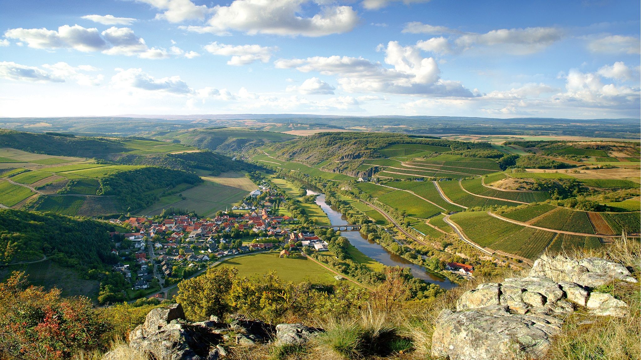
Top 10 hiking loops on the Nahe – Dream Loops and Vitaltours
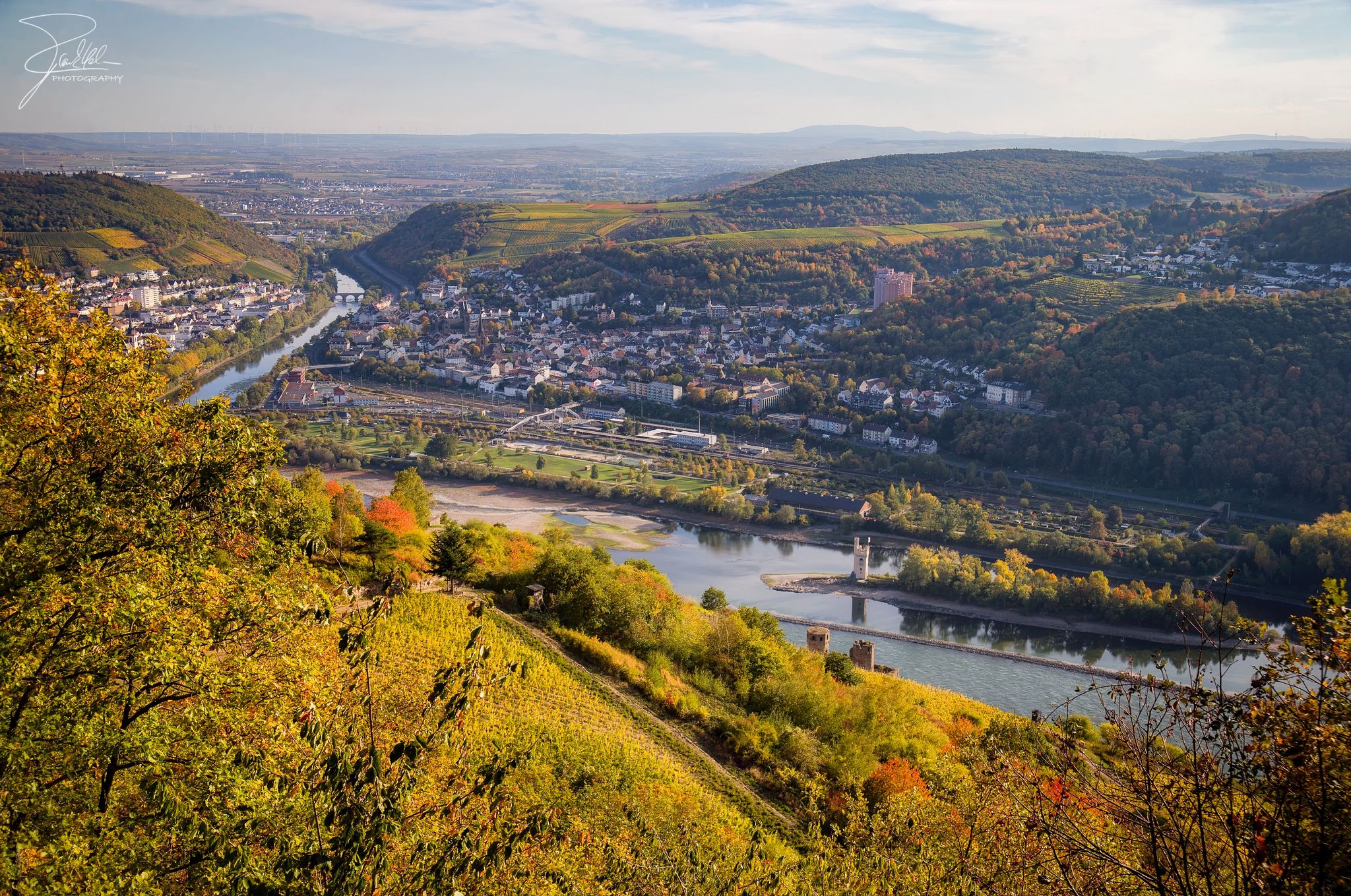
The Nahe Cycle Path – Between Rocks and Vines
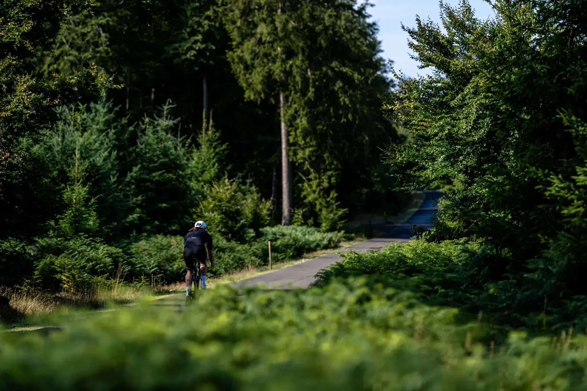
Road and gravel bike paradise – Hunsrück-Nahe Region
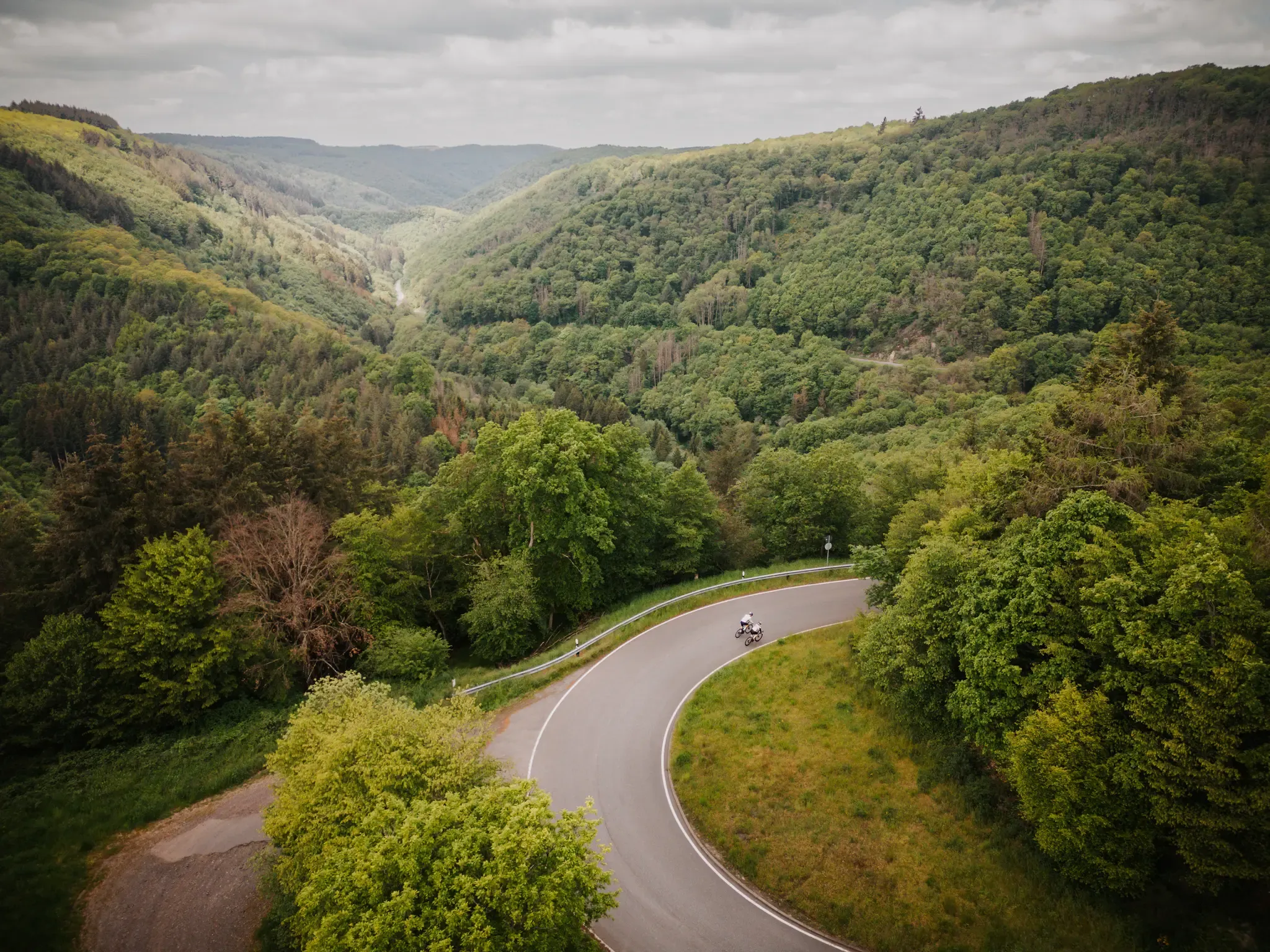
Make your road cycling dreams come true in the Hunsrück-Nahe region
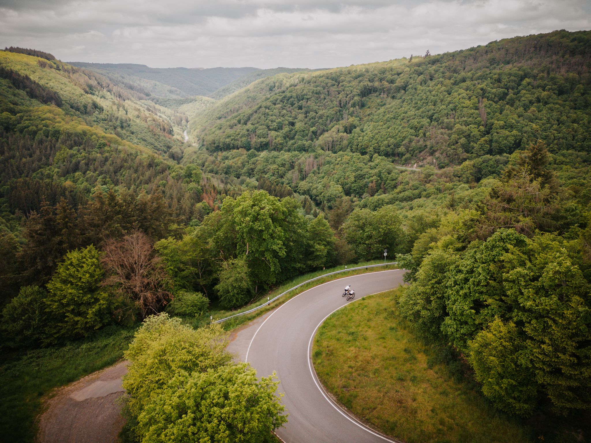
Roadbiken im Herzen der Bike-Region Hunsrück-Nahe

1000 Höhenmeter und mehr - Bergetappen zwischen Hunsrück und Nahe
Other adventures around Idar Oberstein


Tips from the Community

Beautiful old half-timbered building
0
0
Very beautiful fountain, great spot
0
0
Very beautiful old building
0
0
A very interesting half-timbered building
0
0
Simply an interesting building.
0
0

A small pond some distance from the castle. Nevertheless, it's a good place to relax.
0
0
A small lake in the woods, known as the "castle pond," is located some distance from the castle. The water has a pleasant, calming effect.
0
0

The almost circular Obersteinplatz is a small but lively square, located near the ascent to the Felsenkirche (Rock Church). It is beautifully designed, offers beautiful views, and is home to many cafés and shops, inviting you to linger. A fountain with a bronze figure and the nearby sculpture of Lorenzo the Iceman are further eye-catchers.
0
0
Frequently Asked Questions
How many bus station hiking trails are available around Idar-Oberstein?
There are over 180 hiking routes accessible from bus stations around Idar-Oberstein. These trails cater to various fitness levels, with 82 easy, 89 moderate, and 9 difficult options.
What is the general difficulty level of bus-accessible hikes in Idar-Oberstein?
The bus-accessible hiking trails around Idar-Oberstein offer a good mix of difficulties. Most routes are classified as moderate, making them suitable for hikers with some experience. There are also plenty of easy trails for a relaxed outing, and a few more challenging options for experienced hikers seeking steeper ascents and longer distances.
What do other hikers say about the bus station trails in Idar-Oberstein?
The komoot community highly rates the hiking trails around Idar-Oberstein, with an average score of 4.6 out of 5 stars from over 2,500 ratings. Hikers often praise the diverse landscapes, the integration of historical landmarks, and the well-maintained paths that offer stunning views of the Nahe Valley and the Hunsrück region.
What is the best time of year to hike from bus stations in Idar-Oberstein?
The best seasons for hiking around Idar-Oberstein are spring and autumn. In spring, the forests are lush green and vibrant, while autumn offers a spectacular display of warm colors. The weather during these seasons is generally pleasant for outdoor activities.
Are there family-friendly hiking trails accessible by bus in Idar-Oberstein?
Yes, there are many family-friendly options. For an easy and scenic walk that starts directly from a bus stop, consider the Oberstein Castle – Schlossweiher loop from Idar-Oberstein. This 6.2 km route is relatively flat in parts and offers views of the historic castles and the Schlossweiher.
Can I bring my dog on bus-accessible hiking trails in Idar-Oberstein?
Most hiking trails around Idar-Oberstein are dog-friendly, but it's always recommended to keep your dog on a leash, especially in nature reserves, near wildlife, or when passing through populated areas. The diverse landscapes, including forests and river paths, provide excellent opportunities for walks with your canine companion.
Are there circular hiking routes that start and end at bus stops?
Yes, many of the bus-accessible routes are circular, allowing you to return to your starting point without needing additional transport. An example is the View of the Nahe River – View of the Krechelsfels loop from Frauenberg, a moderate 7.7 km trail offering impressive rock formations and river views.
What kind of landscapes can I expect on bus-accessible hikes around Idar-Oberstein?
You can expect a diverse range of landscapes, from dense beech forests and deeply incised stream valleys to dramatic rock formations like the Krechelsfels. Many trails also follow the picturesque Nahe River and offer panoramic views over the town and the surrounding Hunsrück region. The terrain often includes both steep ascents and gentler sections.
What historical landmarks or points of interest can I see on bus-accessible hikes?
Many trails are integrated with historical sites. You can visit the iconic Felsenkirche (Rock Church), dramatically carved into a rock face, or explore the ruins of Oberstein Castle and Bosselstein Castle, which offer stunning views. The region's rich gemstone history is also evident along paths that follow old grinding routes.
Are there any natural monuments or waterfalls along these bus-accessible routes?
Yes, the region boasts several natural highlights. While hiking, you might encounter the serene Kammerwoog Reservoir and Nature Reserve or the charming Trübenbach Waterfall. The dramatic rock formations themselves, such as the Krechelsfels, are also significant natural features.
Where can I find refreshments or places to eat near bus-accessible hiking trails?
Idar-Oberstein and its surrounding villages offer various cafes and restaurants. Many trails pass through or near town centers or smaller settlements where you can find places to eat or grab a drink. It's advisable to check local opening hours, especially in smaller villages.
Are there any challenging bus-accessible hikes for experienced hikers?
For experienced hikers, the region offers more demanding routes with significant elevation changes. An example is the View of Frauenburg Castle – Kaiserallee on the Nahekopf loop from Artillerieschule, a difficult 18.2 km trail with nearly 500 meters of ascent, providing a strenuous workout and rewarding views.
Most popular routes around Idar Oberstein
Most popular attractions around Idar Oberstein

Get inspired with the komoot mobile app


Explore more
Browse the best Hikes in other regions.
