The best hikes from bus stations around Engelskirchen
4.5
(3902)
13,074
hikers
181
hikes
Bus station hiking trails around Engelskirchen offer access to the diverse landscapes of the Bergisches Land region. The area is characterized by a network of forests, meadows, and valleys, with the Agger river playing a central role, featuring weirs and riverside paths. Stream landscapes like the Naafbachtal Valley and Schlingenbach Valley, along with extensive spruce and beech forests, contribute to the varied terrain. Geological features include the Aggertal Cave and greywacke quarries, adding to the region's natural interest.
Best bus…
Last updated: September 28, 2026
4.6
(230)
710
hikers
10.9km
03:06
260m
260m
Moderate hike. Good fitness required. Easily-accessible paths. Suitable for all skill levels.
4.6
(94)
285
hikers
Moderate hike. Good fitness required. Easily-accessible paths. Suitable for all skill levels.

4.0
(51)
218
hikers
4.52km
01:10
30m
30m
Easy hike. Great for any fitness level. Easily-accessible paths. Suitable for all skill levels.
4.6
(64)
243
hikers
Hard hike. Very good fitness required. Easily-accessible paths. Suitable for all skill levels.
4.6
(125)
554
hikers
Easy hike. Great for any fitness level. Easily-accessible paths. Suitable for all skill levels.
Get access to more routes and recommendations from other explorers.
Already have an account?
Our route recommendations are based on thousands of hikes, rides, and runs completed by other people on komoot.
Start today with a free account
Your next adventure awaits.
Popular around Engelskirchen
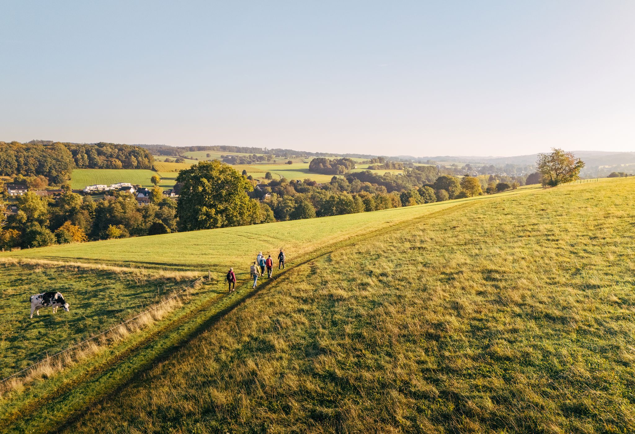
"Wunderschön" through the Bergisches Land – on the trail of the WDR show
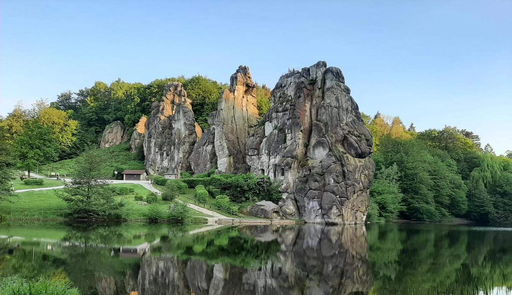
The National Natural Landscapes in Nordrhein-Westfalen
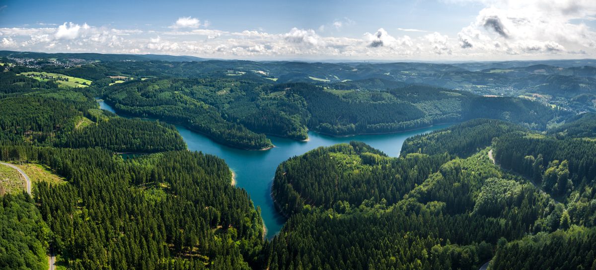
A long-distance hike with spectacular views – Bergischer Panoramasteig
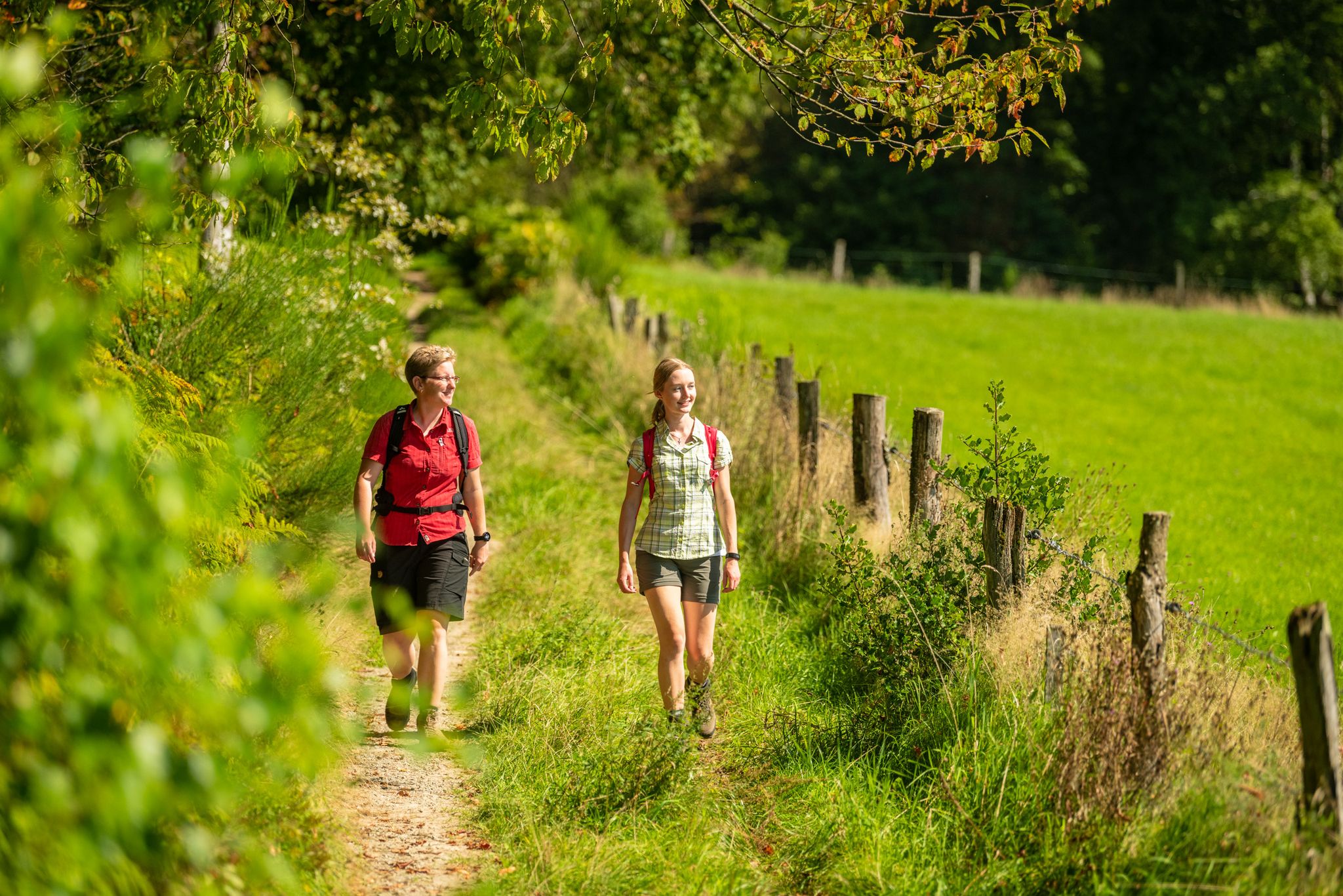
Bergische Rambles – themed and adventure trails in the Bergisches Land region

River dams in Germany’s Bergisches Land
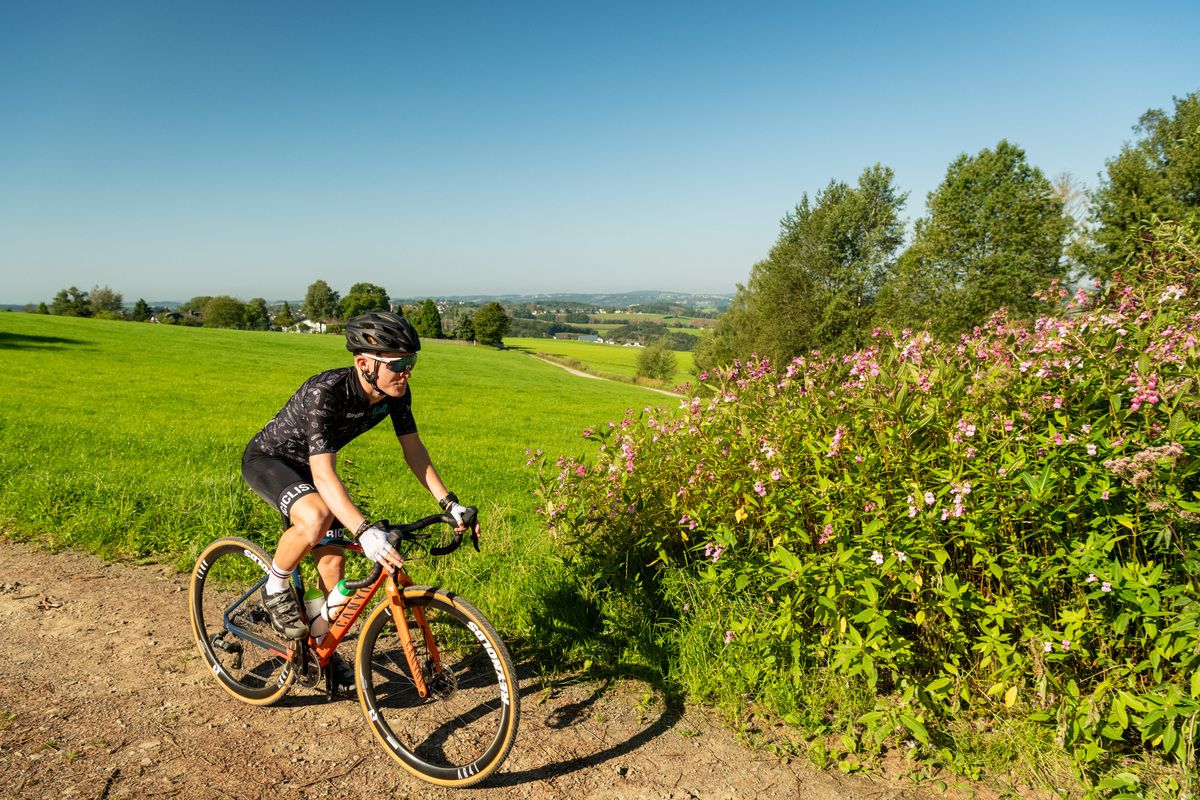
Forests, meadows and valleys — Gravel bike Tours in Bergisches Land
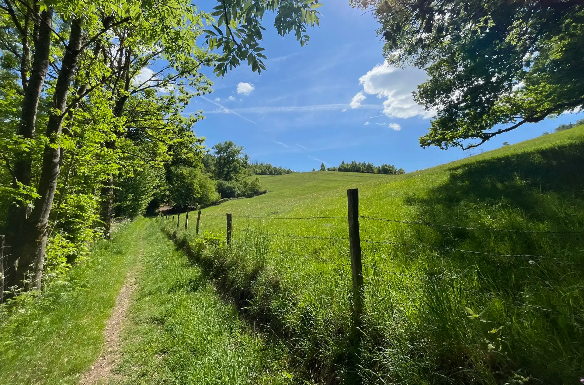
Wasser, Wald und Weitblick – Aktivtouren im Bergischen Land
Other adventures around Engelskirchen


Tips from the Community

Small but swings like a big one if you want 😅🤙
0
0

If the bridge is clear, you can have fun "circling over it" with your bike.
0
0


In the Bergisches Land region of the Rhineland, remnants of the Cold War can still be found in some places. One of these is the former Bundeswehr listening post "Heckberg." The site is located in Much, on the municipal border with Engelskirchen, nestled on a hilltop amidst extensive woodlands. Heckberg is 383 meters high and offers panoramic views of the Siebengebirge hills and the Cologne Lowland. Silver and lead were mined here as early as the 13th century. Old spoil heaps can still be seen at the Silberkaule mine. The aim of a proposed project is to repurpose the military site for tourism development. This will be achieved by creating a high point with an attractive panorama. The underground bunker complex could be integrated into the development as a documentation and exhibition center. Furthermore, a connection to the regional hiking trail network is planned. The municipality intends to purchase the property from the Federal Agency for Real Estate (BImA) with the goal of environmentally sound tourism development. The conversion of the listening post into a tourist destination is intended to serve as a model for how former military installations can be repurposed in a way that is both needs-based and integrated into regional concepts. The project is currently on hold. Source: https://www.regionale2025.de/projekte/23/
0
0
Nice for a walk 🤙
1
0
Nature reserve with suspension bridge 🤙
1
0
Beautiful little town center with some very well-maintained houses 🤙
2
0
Frequently Asked Questions
How many bus-accessible hiking trails are available around Engelskirchen?
There are over 180 bus-accessible hiking trails around Engelskirchen, offering a wide variety of experiences. You'll find routes ranging from easy strolls to more challenging day hikes, all conveniently reachable by public transport.
What is the general difficulty level of bus station hikes in Engelskirchen?
The majority of bus-accessible hikes in Engelskirchen are rated as easy or moderate. Specifically, there are over 90 easy routes and more than 80 moderate options, with a smaller selection of 7 difficult trails for experienced hikers seeking a challenge.
What do other hikers say about the trails around Engelskirchen?
The komoot community highly rates the hiking experiences around Engelskirchen, with an average score of 4.5 out of 5 stars from over 3,800 ratings. Hikers often praise the diverse landscapes, well-maintained paths, and the scenic beauty of the Bergisches Land region.
Are there any notable natural attractions or viewpoints along the bus-accessible routes?
Yes, many bus-accessible routes feature significant natural attractions and viewpoints. You can explore the impressive Aggertal Cave, enjoy picturesque riverside walks along the Agger, or discover the tranquil Lingesetal dam. For panoramic views, consider routes that pass by the Unnenberg Observation Tower or offer vistas from Heckberg.
Can I find historical landmarks or castles on these bus station hikes?
Absolutely. Several bus-accessible routes lead past historical sites. For instance, the Holy Cross Chapel, Ehreshoven – Kastor Suspension Bridge loop takes you near Ehreshoven Castle. Other trails might offer glimpses of the Eibach Castle Ruins or the charming Gimborn Castle.
Are there family-friendly hiking options accessible by bus in Engelskirchen?
Yes, Engelskirchen offers numerous family-friendly hiking options easily reached by bus. Many of the 90+ easy routes are suitable for families, featuring gentle terrain through forests and meadows. Look for trails that incorporate points of interest like the Agger river or local playgrounds for an engaging experience.
Can I bring my dog on these bus-accessible trails?
Most hiking trails in the Bergisches Land region, including those accessible by bus in Engelskirchen, are dog-friendly. It's always recommended to keep your dog on a leash, especially in nature reserves or near livestock. Ensure you carry water for your pet, particularly on longer routes like the Picnic area on the Agger River loop.
Are there circular routes starting from bus stations in Engelskirchen?
Yes, many of the bus-accessible hikes in Engelskirchen are circular routes, allowing you to start and end your journey at the same bus stop without needing to retrace your steps. Examples include the Ehreshoven Castle loop or the Loopebach Stream loop.
What is the best time of year for bus-accessible hikes around Engelskirchen?
Engelskirchen offers beautiful hiking experiences year-round. Spring brings blooming wildflowers, summer provides lush green landscapes, and autumn transforms the forests into a spectacle of colors. Even in winter, many trails are accessible, offering serene, frosty views, especially along the Agger river.
Are there any bus-accessible hikes that include opportunities for refreshments?
While specific cafes or pubs directly on every bus-accessible trail cannot be guaranteed, many routes pass through or near villages and towns where you can find local eateries. Planning your route to include a stop in Engelskirchen or Ründeroth can offer opportunities for refreshments after your hike.
How long are the bus-accessible hikes around Engelskirchen?
The length of bus-accessible hikes varies significantly. You can find shorter, easy walks of around 4 km, such as the Ehreshoven Castle loop, up to longer, more challenging routes like the Aggertal Cave loop which spans nearly 29 km. This variety ensures there's a suitable option for every fitness level and time commitment.
Most popular routes around Engelskirchen
Most popular attractions around Engelskirchen

Get inspired with the komoot mobile app


Explore more
Browse the best Hikes in other regions.
