The best traffic-free bike rides around Bramsche
4.4
(282)
976
riders
9
rides
No traffic gravel bike trails around Bramsche are characterized by a diverse landscape, situated between the Teutoburg Forest and the foothills of the Wiehengebirge. The region features a mix of quiet forests, nature reserves, and extensive waterways, including the Hase River and the Osnabrück Branch Canal. While many routes offer relatively flat sections ideal for relaxed rides, areas like the Ankumer Heights provide more challenging, hilly terrain. This varied topography within the TERRA.vita Nature Park ensures a range of experiences for gravel cyclists.
Best no traffic gravel bike trails around Bramsche
- The most popular no traffic gravel bike trail is Osnabrück Branch Canal – View of the River Hase loop from Achmer, a 19.4 miles (31.1 km) trail that takes 1 hour 51 minutes to complete. This route follows the tranquil Osnabrück Branch Canal and offers views of the Hase River.
- Another top favourite among local gravel bikers is Venne Observation Tower – Venner Berg Observation Tower loop from Rundfunksender Schleptruper Egge, a difficult 49.8 miles (80.1 km) path. This route features significant elevation gain and leads to scenic observation towers.
- Local gravel bikers also love the Recke Marina – Bergeshövede Footbridge loop from Bramsche, a 43.4 miles (69.8 km) trail leading through river and canal landscapes, often completed in about 3 hours 51 minutes.
- Gravel biking around Bramsche is defined by quiet forests, river and canal paths, and some hilly sections. The network offers options for different ability levels, from easy riverside rides to more demanding routes with significant climbs.
- The routes in Bramsche are highly rated by the komoot community with an average score of 4.5 stars from over 200 reviews. More than 800 gravel bikers have used komoot to explore Bramsche's varied terrain.
Last updated: June 26, 2026
4.6
(33)
131
riders
31.1km
01:51
80m
80m
Easy gravel ride. Great for any fitness level. Mostly paved surfaces. Suitable for all skill levels.
4.8
(4)
42
riders
Hard gravel ride. Very good fitness required. You may need to push your bike for some segments of this route.

Sign up for free
5.0
(1)
11
riders
46.5km
03:05
530m
530m
Hard gravel ride. Very good fitness required. You may need to push your bike for some segments of this route.
4.2
(6)
17
riders
50.1km
03:04
340m
340m
Hard gravel ride. Good fitness required. You may need to push your bike for some segments of this route.
5.0
(6)
8
riders
69.8km
03:51
90m
90m
Moderate gravel ride. Good fitness required. Mostly paved surfaces. Suitable for all skill levels.
Get access to more routes and recommendations from other explorers.
Sign up for free
Already have an account?
Our route recommendations are based on thousands of hikes, rides, and runs completed by other people on komoot.
Start today with a free account
Your next adventure awaits.
Login or Signup
Popular around Bramsche
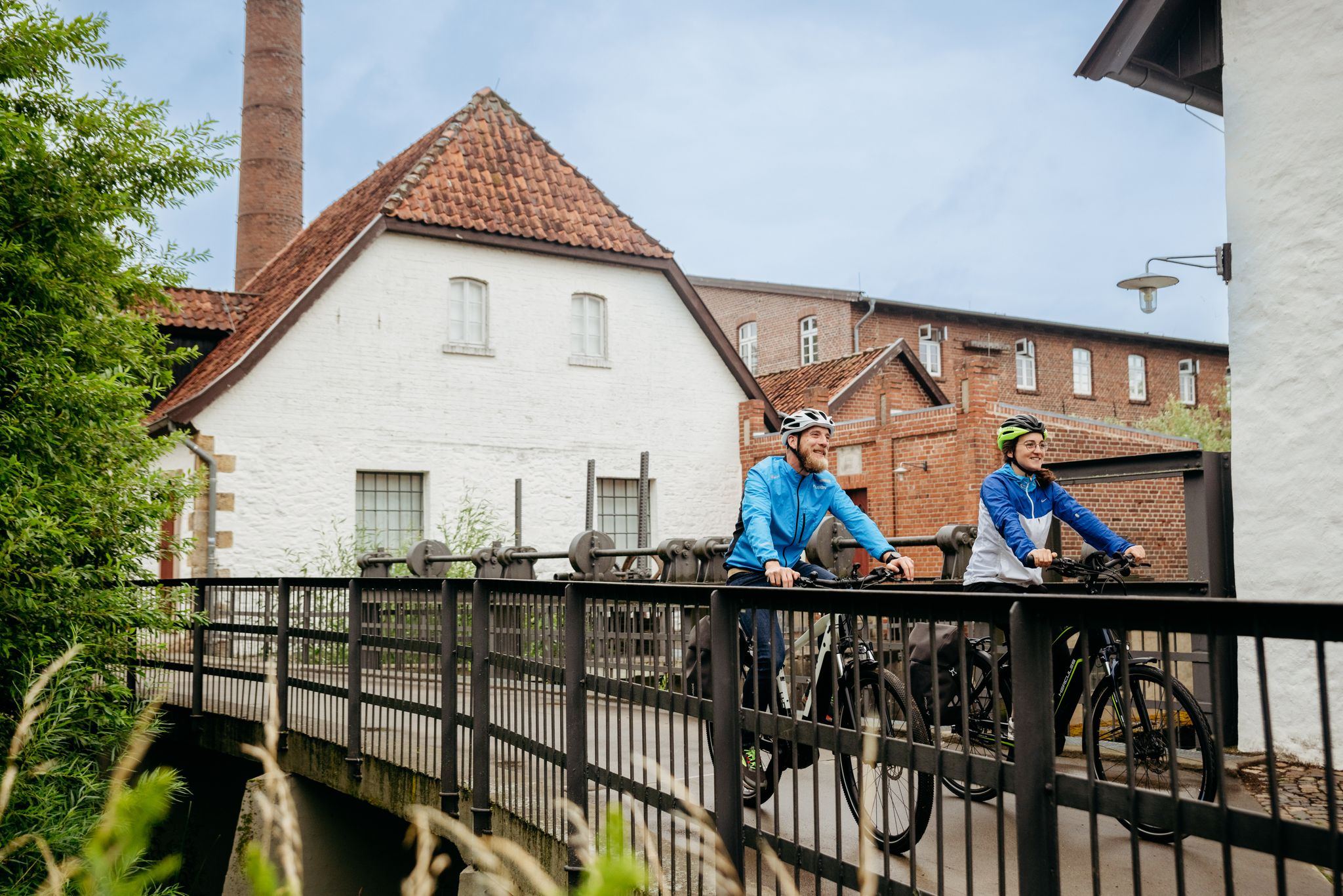
Day rides in Osnabrück region – variety in Germany’s northwest
Pilgrimage on 'm platten Land – 8 days on Germany’s Pickerweg
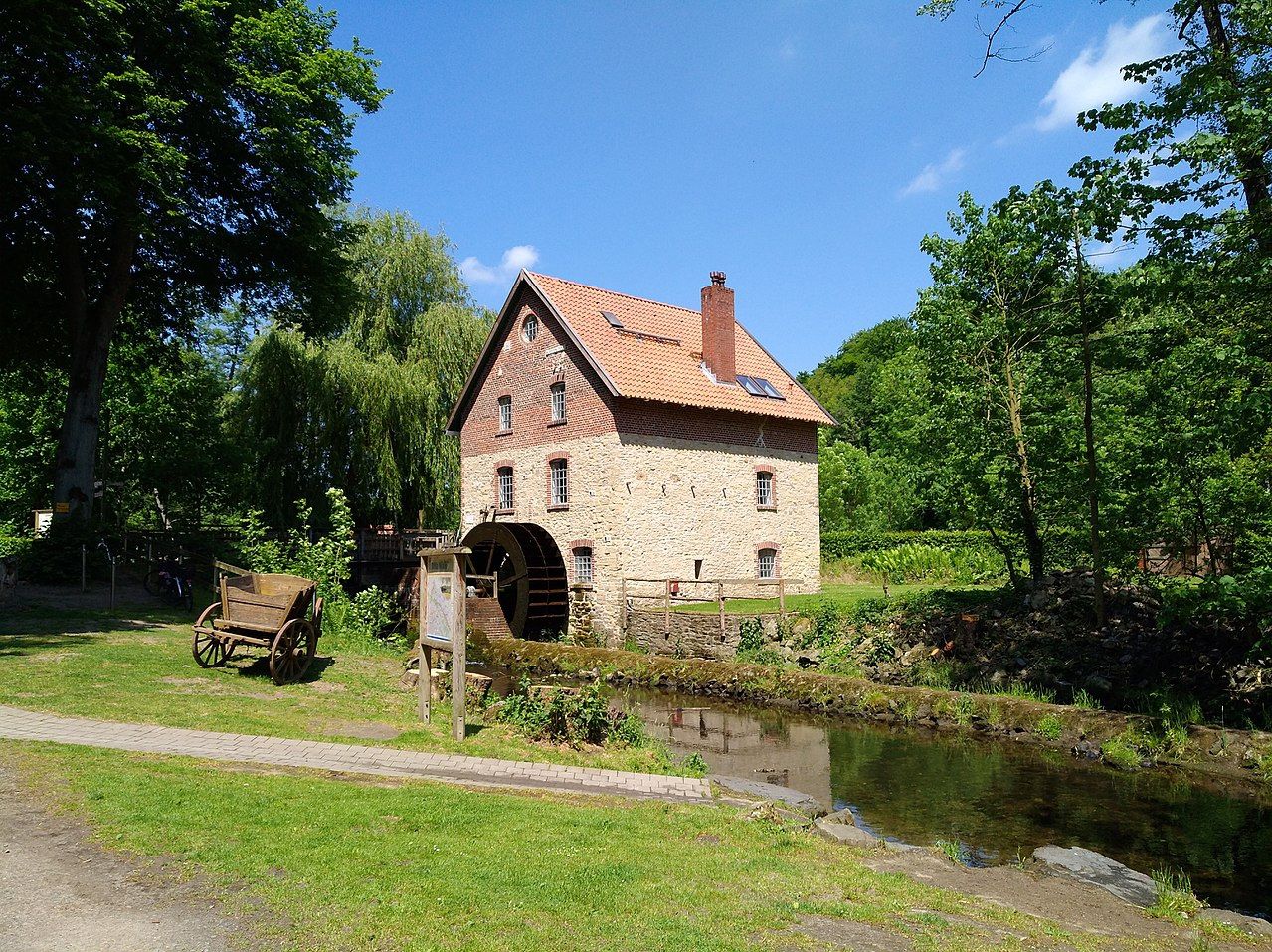
Hiking the Mill Way through the Wiehen Hills near Osnabrück
Follow in Saxon leader Widukind's footsteps – 6 days on the Wittekind Trail
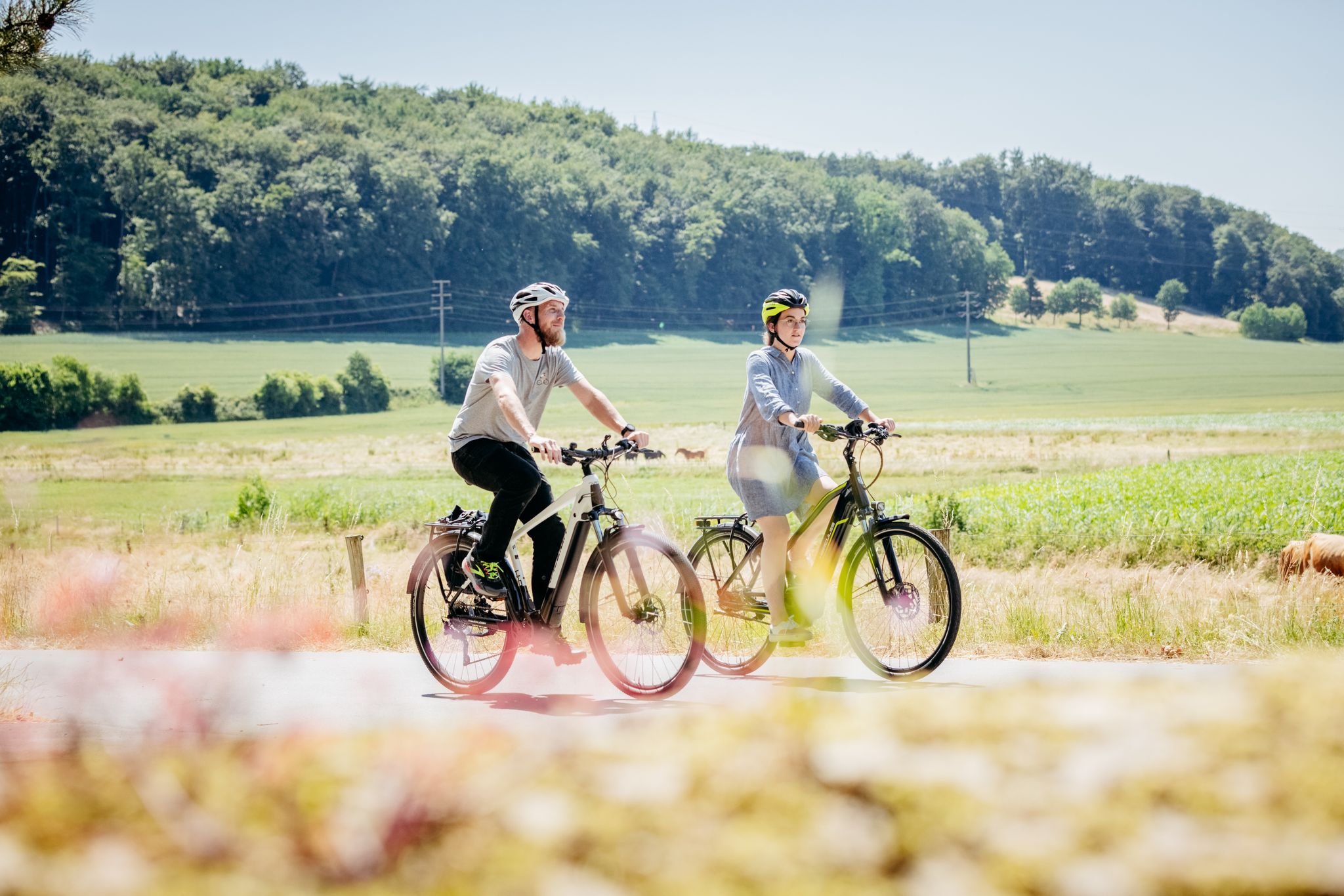
11 loops in Osnabrück Land in Germany – a cyclist’s paradise
DiVa Walk – Zwischen Sauriern und Römern
Abkühlung inklusive – Erfrischende Radtouren rund um Osnabrück
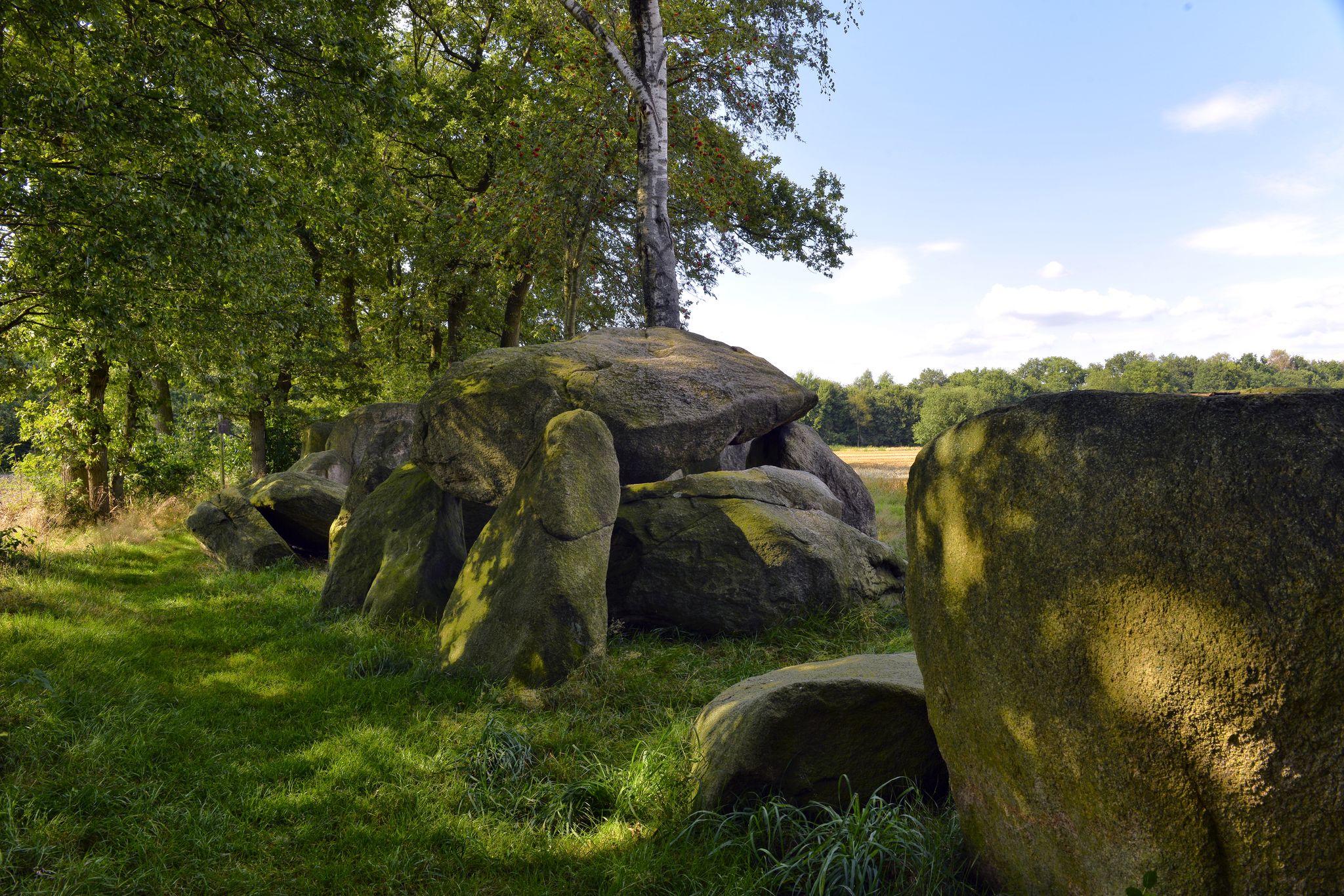
Wanderabenteuer Hünenweg – Ihre Etappenübersicht - Hasetal Touristik
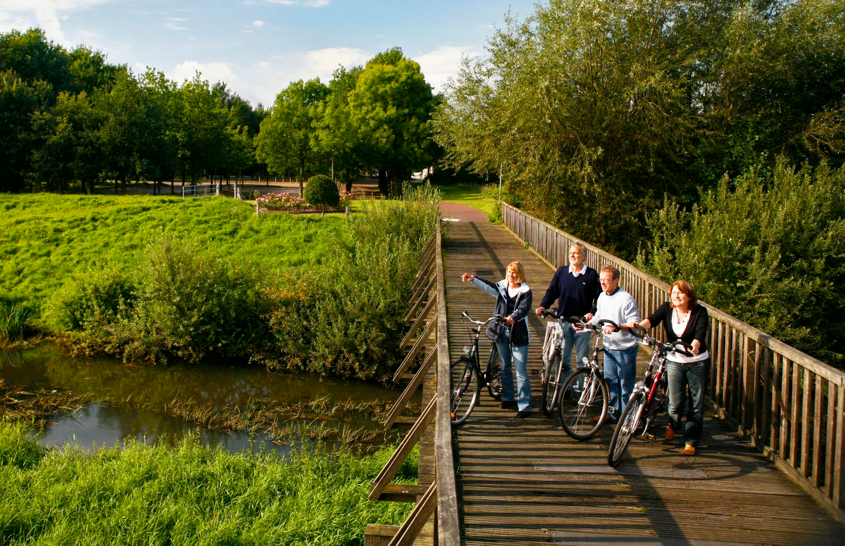
Hase-Ems-Tour - mal anders
Traffic-free bike rides around Bramsche
Other adventures around Bramsche


Tips from the Community

The east side is better than the west side.
0
0

There are many benches along the Mittellandkanal as resting places.
0
0
Easy-to-ride cycle path
0
0

The Mittelland Canal (MLK) is a federal waterway[2] and, at 325.3 kilometers, the longest artificial waterway in Germany. Including side and connecting canals, the length is 392 km. It connects the Dortmund-Ems Canal with the Weser, the Elbe, and the Elbe-Havel Canal. In a broader sense, it is part of a connection between the Rhine and the Oder. In the west, the connection to the Rhine is established via the Dortmund-Ems Canal and the Rhine-Herne Canal or the Wesel-Datteln Canal. In the east, the Elbe-Havel Canal, the Untere Havel-Wasserstraße, and the Havel-Oder-Wasserstraße connect the Mittelland Canal with the Oder. In a European dimension, it enables a connection between the Netherlands, Belgium, Luxembourg, France, and Switzerland on the one hand, and Poland and the Czech Republic on the other. The canal is also known by the names Ems-Weser-Kanal, Weser-Ems-Kanal, Weser-Elbe-Kanal, Rhein-Elbe-Kanal, Elbe-Weser-Ems-Kanal, or Ems-Weser-Elbe-Kanal. These are old or regional designations that are now rarely used.
0
0

A sturdy little rest and shelter hut. Inside, it has benches and a table. Built and maintained by the Bramsche Local History and Tourism Association. Opposite is a beautiful bench with a red flower carved into it. This is also Emergency Site 22. There are also various hiking trail markers at the corner.
0
0
Perfect for a hiking destination because it's visible from far away. Cute guy ropes :-).
0
0
New bank on the Hase
0
0

Here you cross the Mittelland Canal. If you have time, you can observe many ships here.
4
0
Frequently Asked Questions
How many traffic-free gravel bike trails are available around Bramsche?
There are over 10 dedicated traffic-free gravel bike trails around Bramsche featured in this guide. These routes range in difficulty from easy to difficult, offering options for various skill levels.
What kind of terrain can I expect on traffic-free gravel bike trails in Bramsche?
The traffic-free gravel trails in Bramsche offer a diverse landscape. You'll find quiet paths through forests and nature reserves, alongside rivers like the Hase, and along the Osnabrück Branch Canal. While many canal-side paths are relatively flat, the region also features more demanding areas with challenging ascents and descents, especially towards the Teutoburg Forest and Wiehengebirge foothills.
What do other gravel bikers say about the traffic-free routes in Bramsche?
The traffic-free gravel biking routes around Bramsche are highly rated by the komoot community, with an average score of 4.5 stars from over 220 ratings. Riders frequently praise the well-maintained paths, the diverse terrain, and the peaceful, car-free environment.
Are there easy, traffic-free gravel bike routes suitable for beginners in Bramsche?
Yes, Bramsche offers several easy, traffic-free gravel bike routes perfect for beginners. A great option is the Osnabrück Branch Canal – View of the River Hase loop from Achmer, which is relatively flat and provides a pleasant introduction to gravel biking in the area.
Are there more challenging traffic-free gravel routes for experienced riders?
Absolutely. For experienced riders seeking a challenge, Bramsche offers several difficult traffic-free gravel routes. The Venne Observation Tower – Venner Berg Observation Tower loop from Rundfunksender Schleptruper Egge, for example, features significant elevation gain and covers a substantial distance, providing a demanding ride through varied terrain.
What natural features or landmarks can I see along the traffic-free gravel bike trails?
Many traffic-free gravel routes in Bramsche pass by beautiful natural features and landmarks. You can explore areas like the Alfsee, ride alongside the Hase River, or discover unique "Bruchsee" lakes. Some routes also offer views of peaks such as Schmittenhöhe Summit Cross (Kalkriese Hill) or the Gattberg.
Can I find circular traffic-free gravel bike routes in Bramsche?
Yes, many of the traffic-free gravel bike routes around Bramsche are designed as circular loops, allowing you to start and end at the same point. Examples include the River Hase – View of the River Hase loop from Bramsche and the Mittelland Canal – Market Square, Bramsche loop from Bramsche.
What is the best time of year to ride traffic-free gravel trails in Bramsche?
The traffic-free gravel trails in Bramsche are enjoyable throughout much of the year. Spring, particularly May, is beautiful with flowering rhododendrons. Autumn offers stunning golden hues in the forests. Summer provides pleasant conditions for longer rides, while winter can offer a unique, quiet experience, though some paths might be muddy or icy.
Are there any traffic-free gravel routes that are particularly scenic?
Many routes offer scenic views, especially those along the Hase River and the Osnabrück Branch Canal, known for their picturesque and quiet paths. The region's varied terrain, from dense forests to open nature reserves, ensures a constantly changing and beautiful backdrop for your ride. Look for routes that incorporate highlights like the Alfsee for expansive water views.
Are there any traffic-free gravel routes suitable for families with children?
For families, the easier, flatter sections along the canals and rivers are ideal. Routes like the Osnabrück Branch Canal – View of the River Hase loop from Achmer offer a safe and enjoyable experience away from car traffic, perfect for a leisurely family outing.
Can I bring my dog on the traffic-free gravel bike trails in Bramsche?
Generally, dogs are welcome on most public trails in Bramsche, especially on the wider gravel paths. However, it's always best to keep your dog on a leash, particularly in nature reserves or areas where wildlife might be present, and to check local regulations for specific areas. Ensure you carry water for your dog and clean up after them.
Are there options for longer, multi-day traffic-free gravel tours?
While this guide focuses on individual routes, Bramsche's location near the Teutoburg Forest and Wiehengebirge, and its connection to long-distance routes like the Pilgrim route (D-Route 7) and the Wittekindsweg, means you can link several traffic-free gravel sections for longer, multi-day adventures. The availability of bike charging stations along routes also supports extended tours.
Most popular routes around Bramsche
Most popular attractions around Bramsche

Get inspired with the komoot mobile app


Explore more
Browse the best Gravel rides in other regions.
